Camas to Cerro de El Carambolo Gravel Route
A gravel cycling route starting from Camas
Explore the gravel paths from Camas to Cerro de El Carambolo
Map
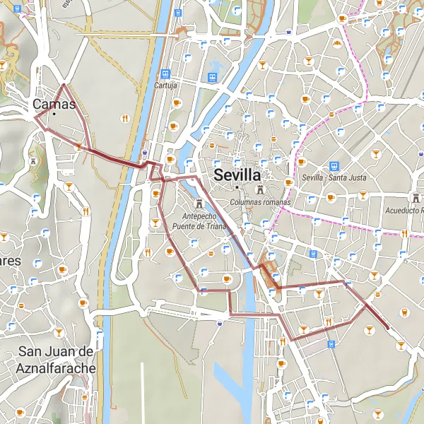
Experience a challenging gravel route starting from Camas that leads to the impressive Cerro de El Carambolo archaeological site. The route is 20 kilometers long with 93 meters of ascent, providing a moderate challenge for cyclists. Along the way, enjoy the beautiful natural landscapes and historical highlights.
gravel
20 km
93 m
Tough
Route profile
Highlights on the route
0 km
0 km
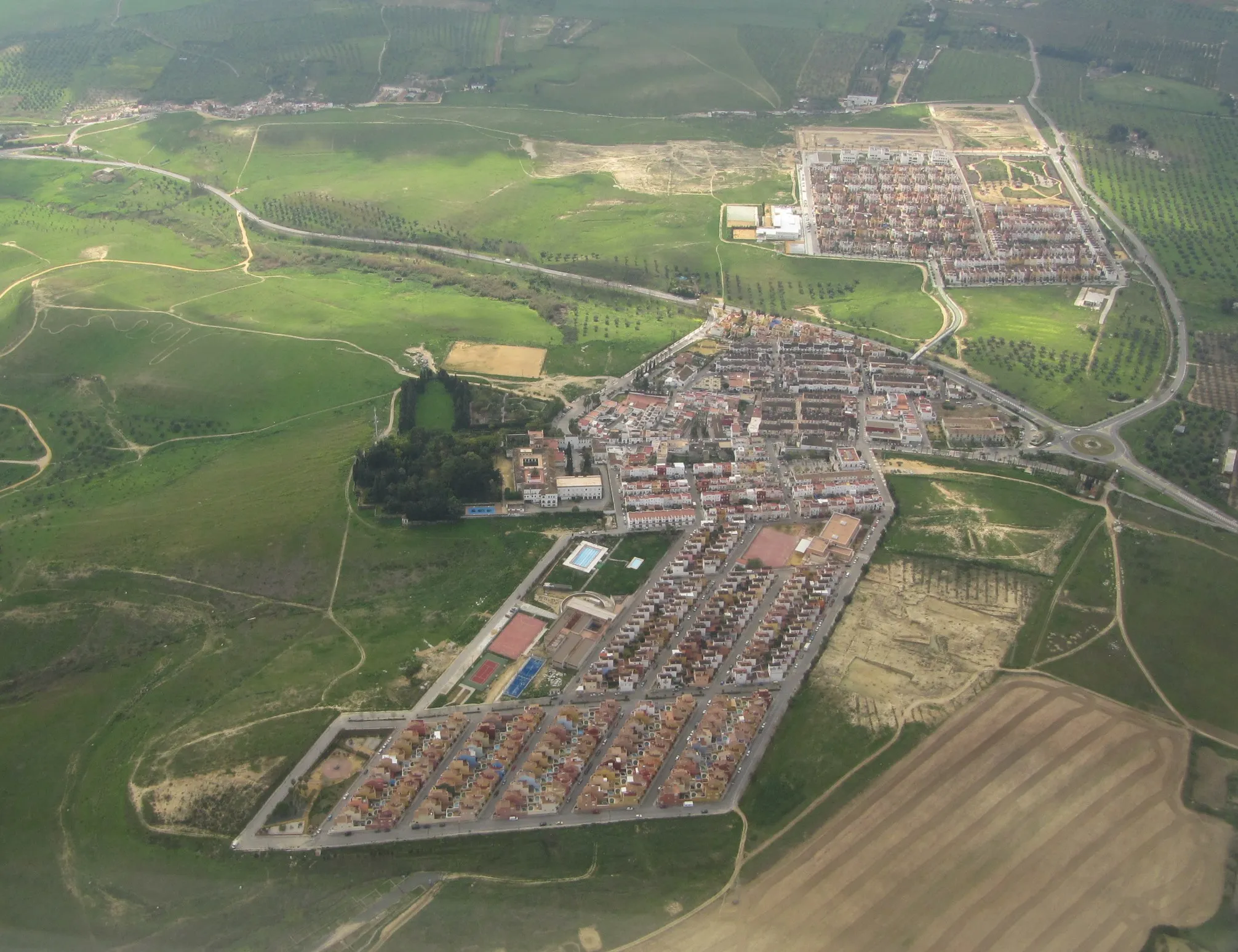
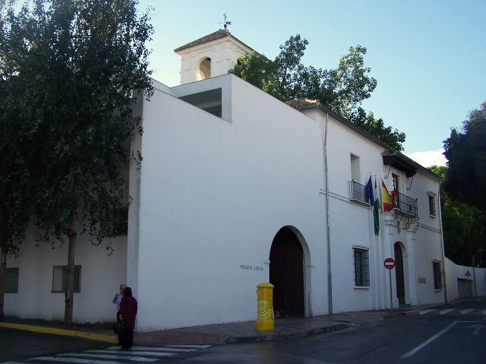
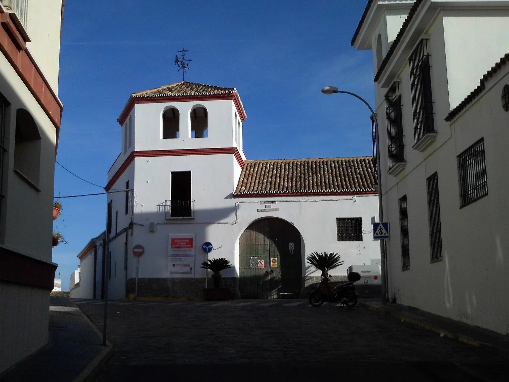
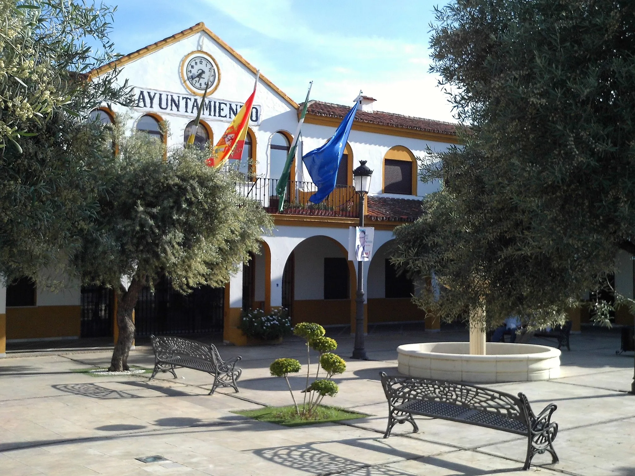
Start: Camas City centerCamas: Cycling paradise in Andalucía's countryside
Camas is a town located in Andalucía, Spain. From a cyclist's perspective, Camas offers various cycling opportunities. The town is surrounded by beautiful countryside, making it a great place for road and gravel cycling. There are several cycling routes and trails that take you through scenic landscapes with rolling hills and picturesque views. Camas is also close to the Sierra de Aracena and Sierra Norte Natural Parks, which offer more challenging climbs and off-road trails for advanced cyclists. One of the famous cycling spots nearby is the Vuelta a España stage finish in Los Angeles de San Rafael. With its diverse terrain and proximity to natural parks, Camas ranks as a 4 for cycling enthusiasts.0 km
0 km
CamasTownStop by Camas to explore this charming town nestled in the hills.
5 km
5 km
Torre del OroViewpointVisit the famous Torre del Oro, a historic watchtower located in Seville.
14 km
14 km
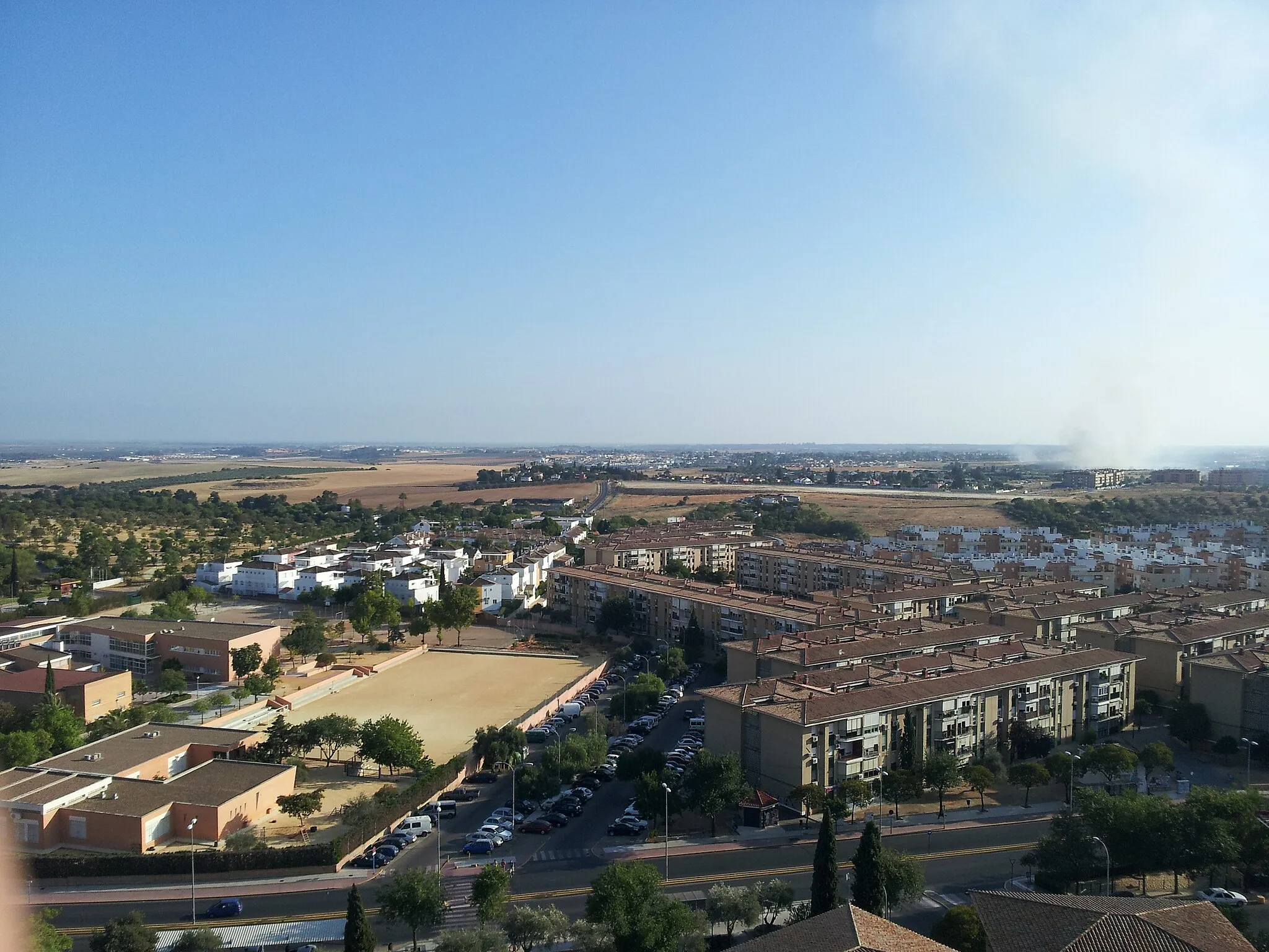
Los RemediosSub-urbPass through Los Remedios neighborhood, known for its beautiful architecture and lively atmosphere.
19 km
19 km
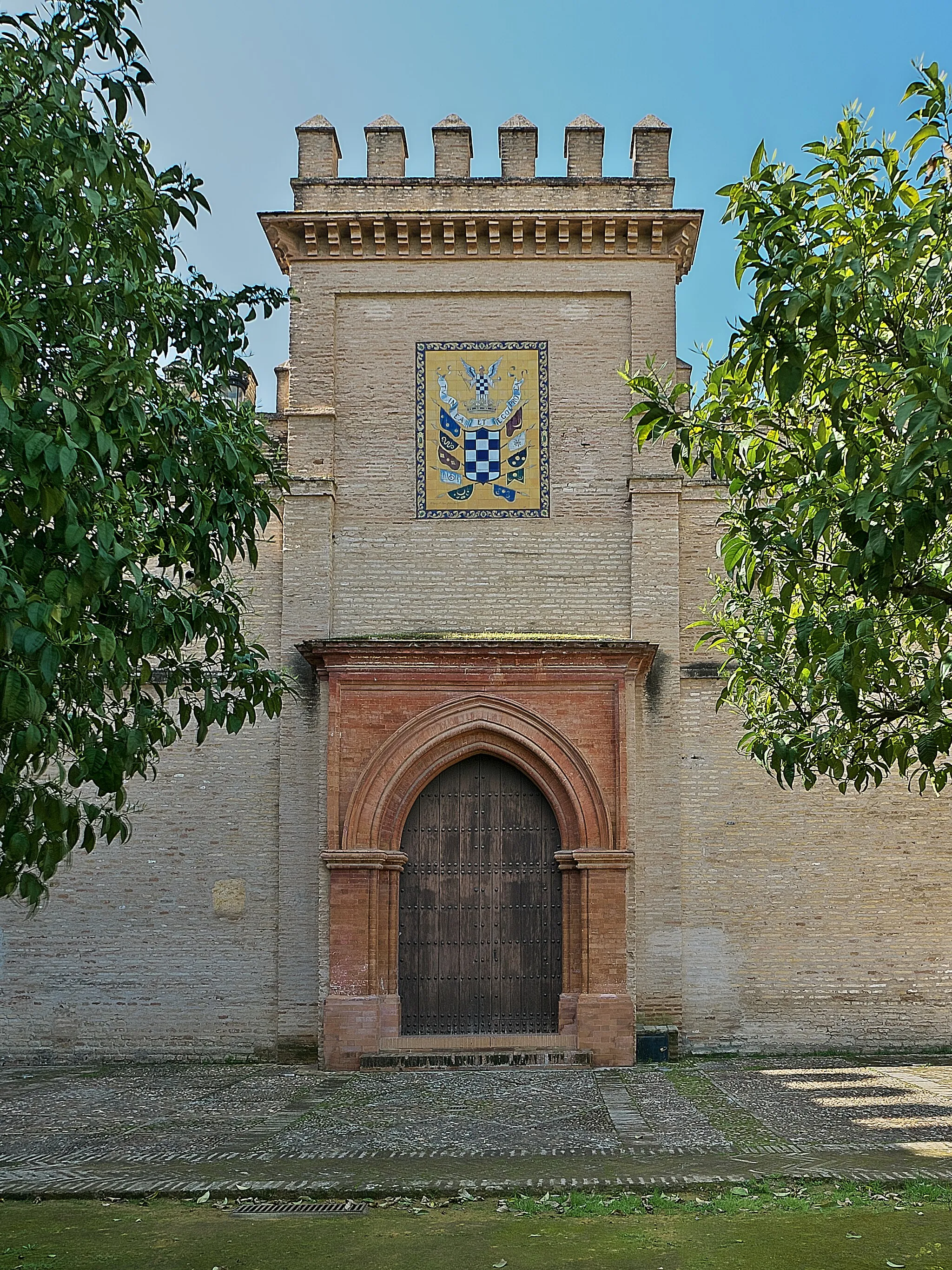
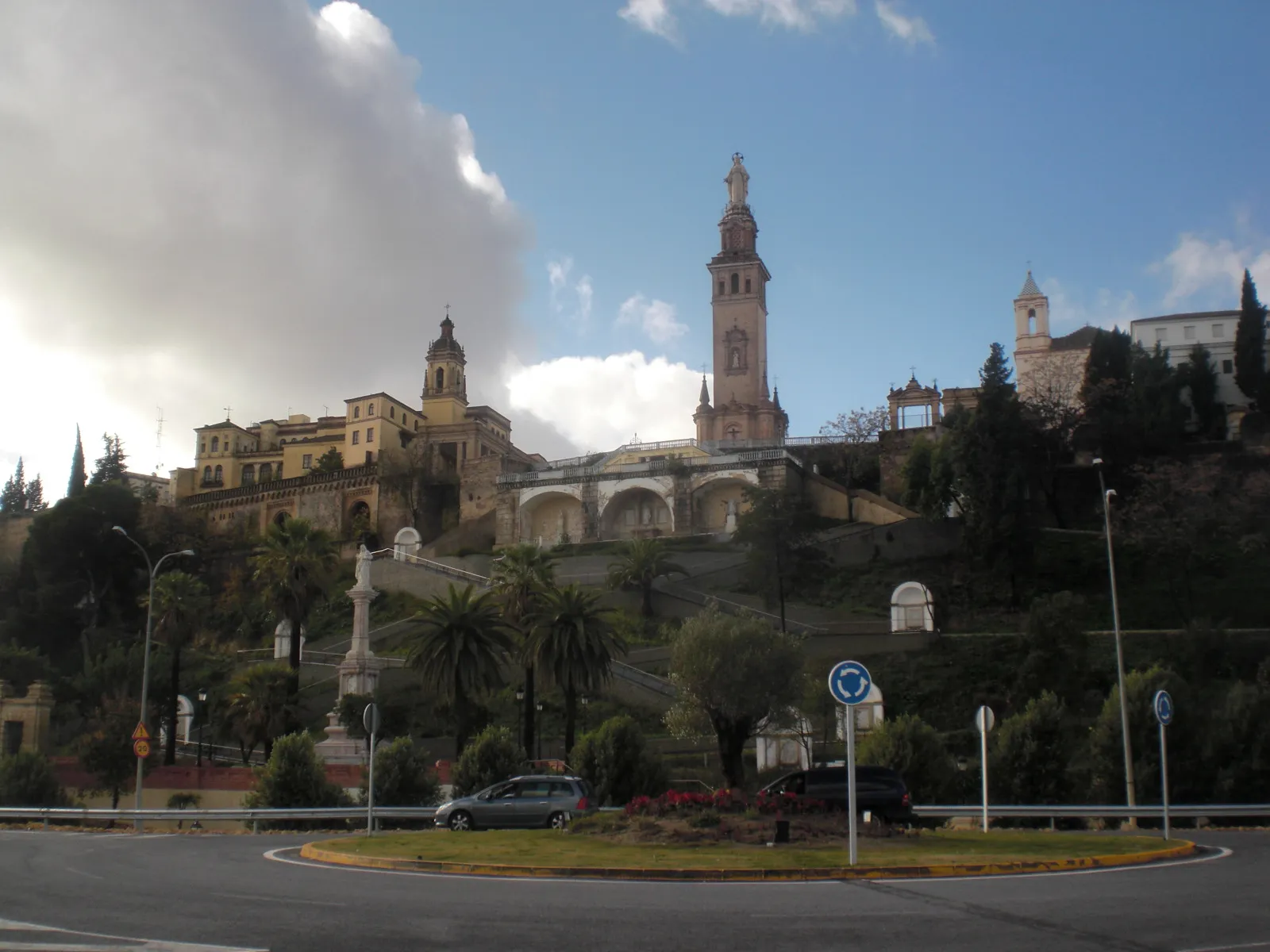
Cerro de El Carambolo87 mPeakMake a stop at Cerro de El Carambolo, an ancient settlement with archaeological ruins.
20 km
20 km
Finish: Camas City centerCamas: Cycling paradise in Andalucía's countryside
Cycling routes from Camas:
Camas to Mirador a Sevilla Road Route Camas to Castilleja de Guzmán via Espartinas and Sanlúcar la Mayor Camas to Cerro de El Carambolo Gravel Route Camas to Cerro de El Carambolo via Mairena del Alcor and Dos Hermanas Camas to Bellavista-La Palmera via Alcalá de Guadaíra and Utrera Puerta Real to Tomares Gravel Route Cerro de El Carambolo to Camas Gravel Route Camas Circular Gravel Route via Madroños and Torre Schindler Camas - Mirador del Teatro Romano Camas to Arco del Postigo Road Route
Cycling routes nearby: