Scenic cycling in the heart of Andalucía
Cycling routes from Campillos
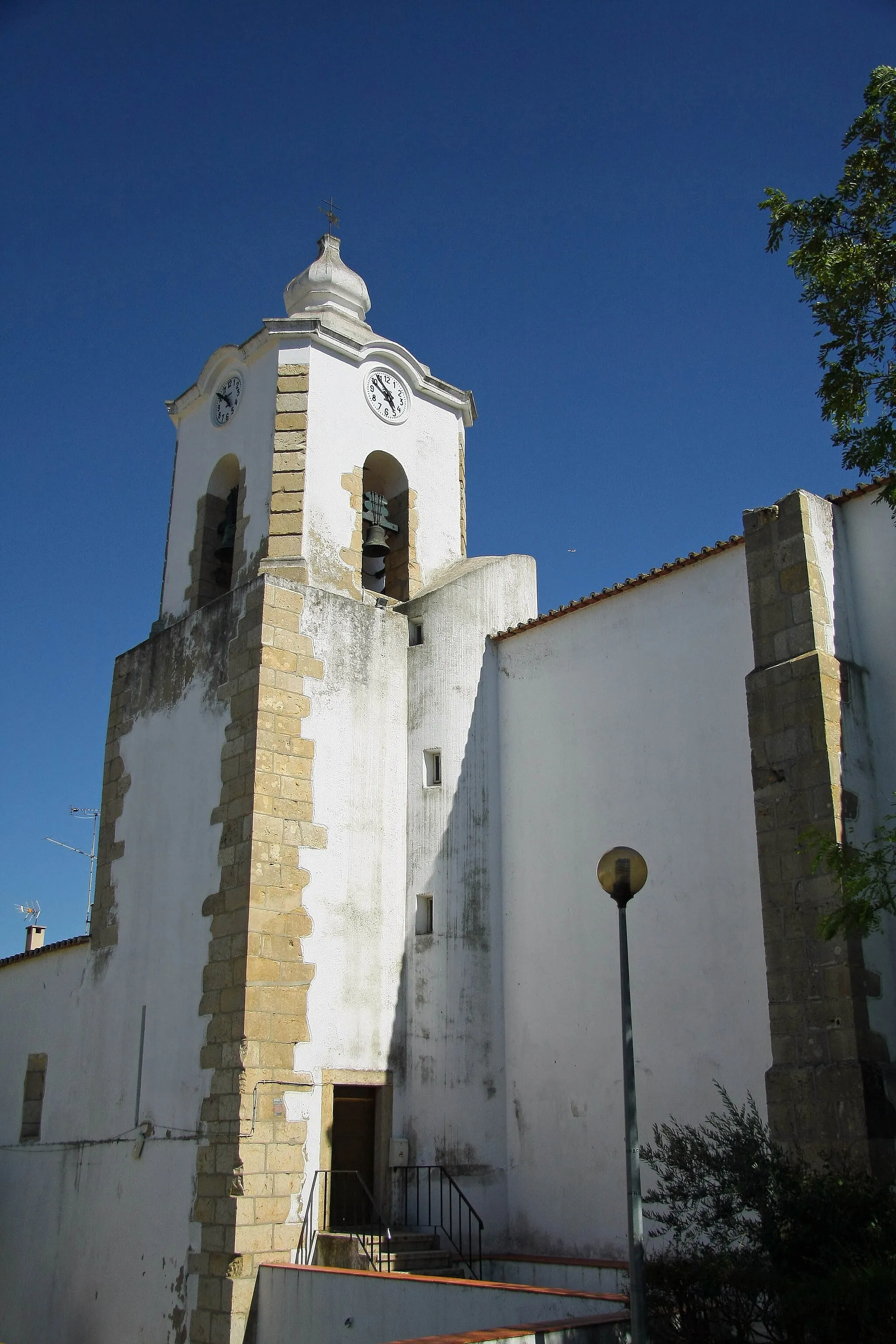
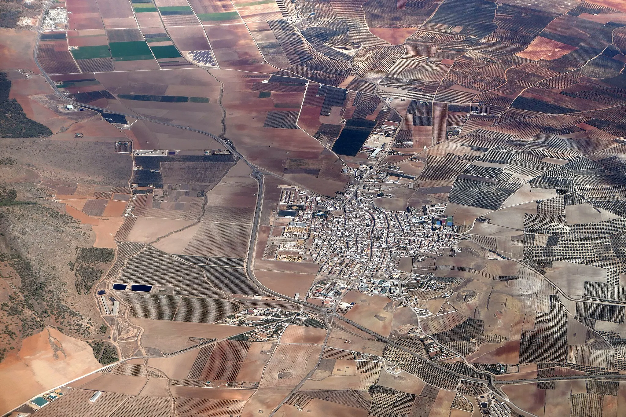
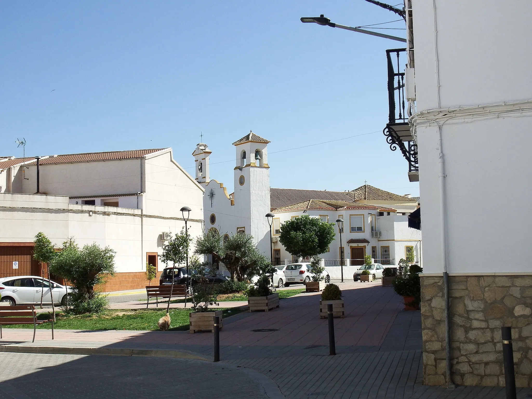
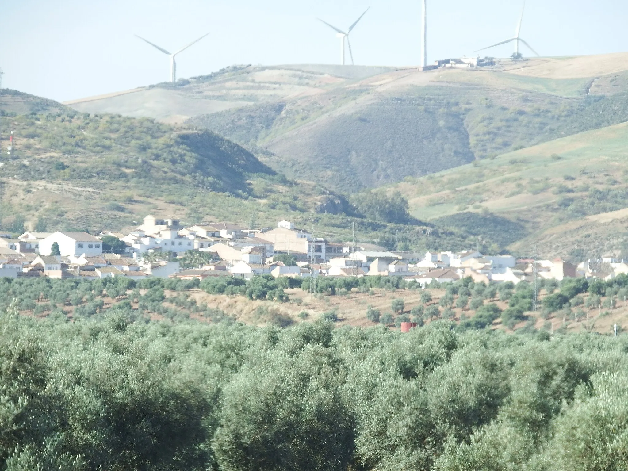
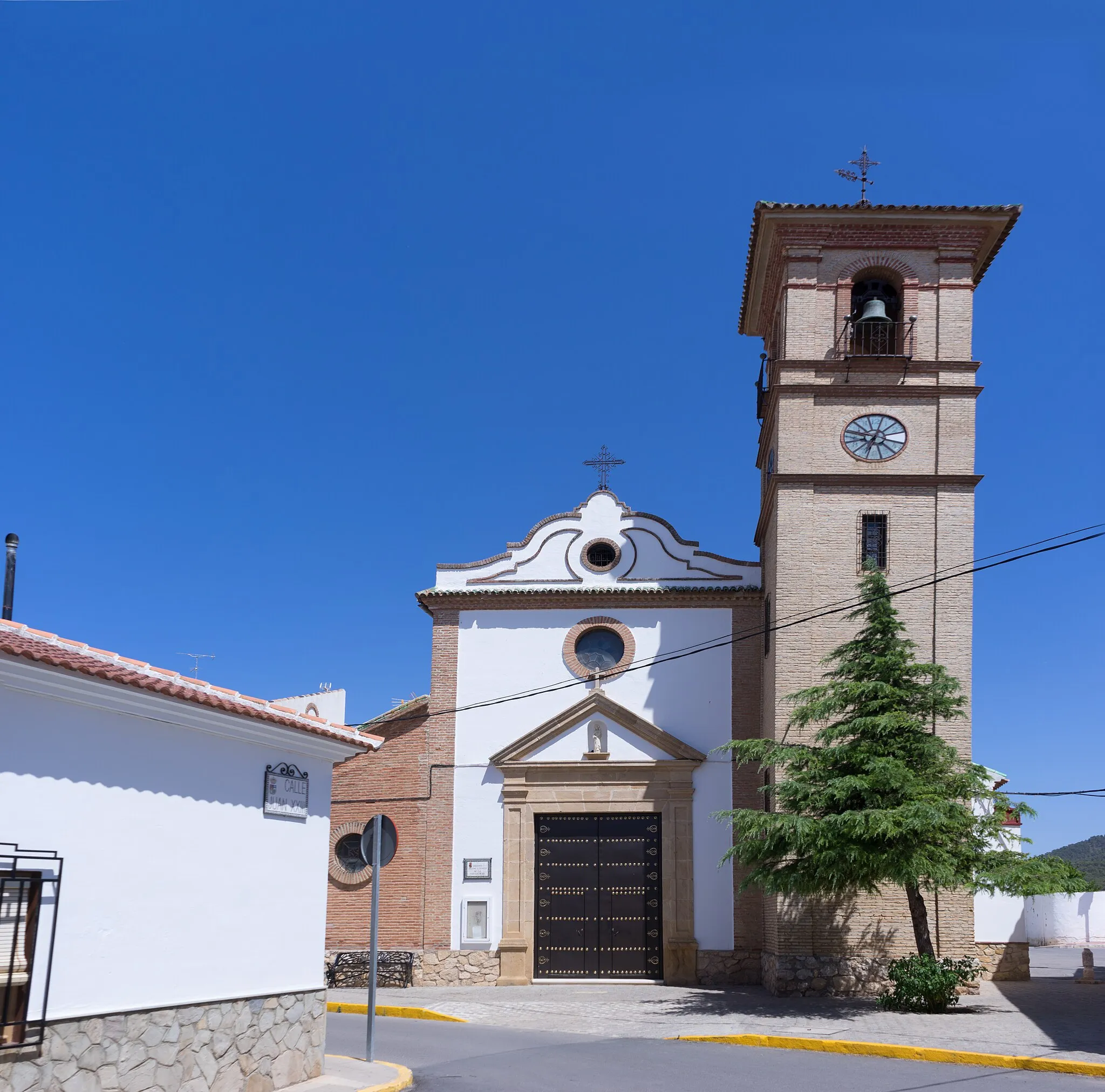
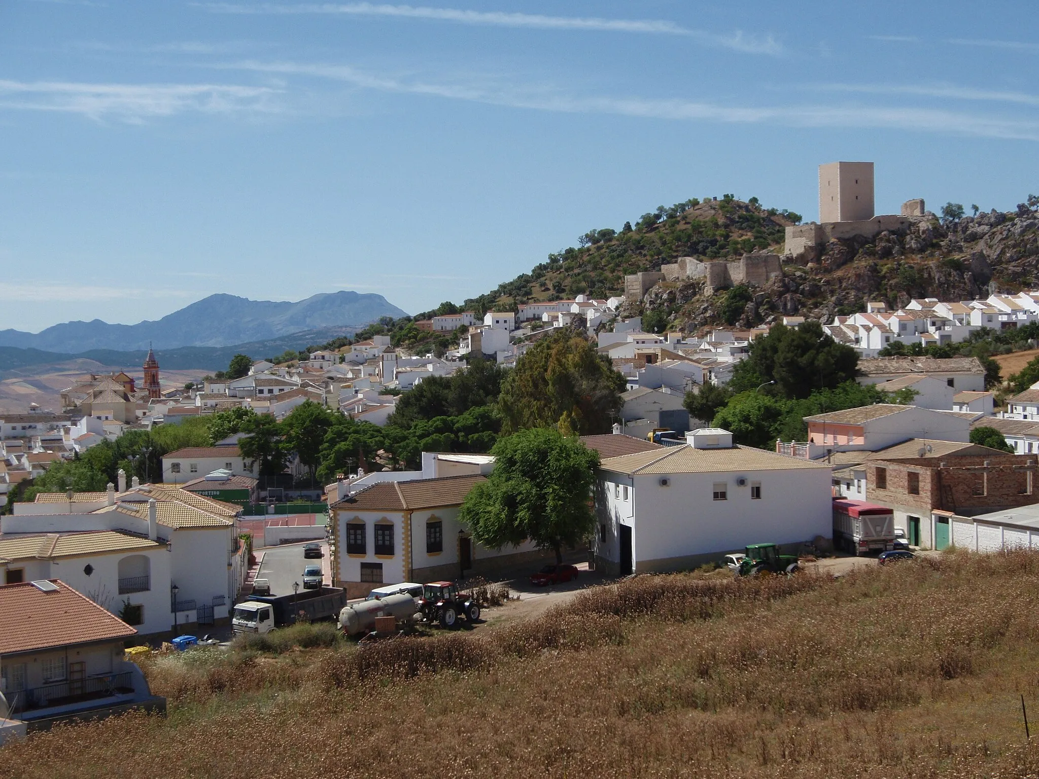
Campillos is a town located in Andalucía, Spain. From a cyclist's perspective, Campillos offers a mix of cycling opportunities. The town is surrounded by rolling hills and beautiful scenery, providing a pleasant backdrop for road and gravel cycling. The area features a variety of cycling routes that cater to different fitness levels. One of the notable climbs nearby is the Puerto de las Palomas, which offers a challenging ascent and rewarding views at the top. Campillos also hosts cycling events and races throughout the year, attracting cyclists from various parts of Spain. With its scenic routes and cycling events, Campillos ranks as a 3 for cyclists.
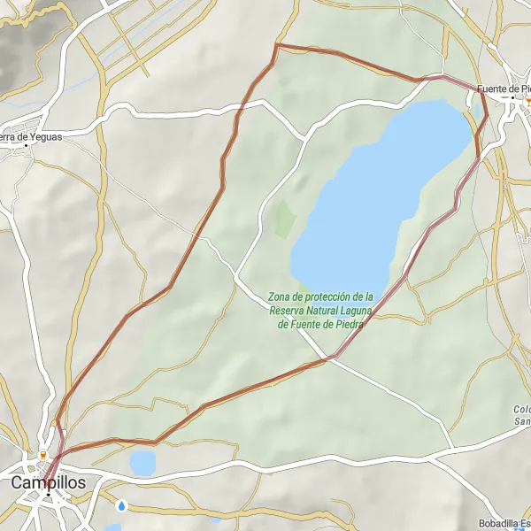
Explore Fuente de Piedra and Del Laguneto Natural Reserve on this gravel route starting from Campillos
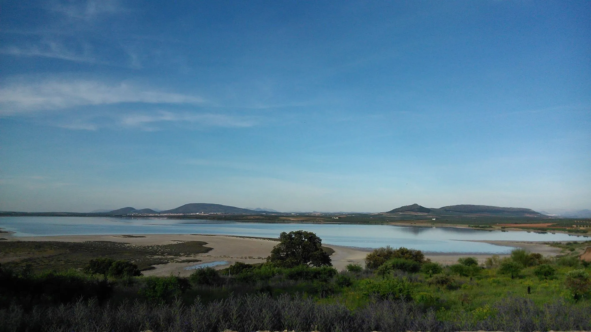
Starting from the town of Campillos, this gravel route takes you to Fuente de Piedra, home to one of the largest flamingo colonies in Europe. You can explore Del Laguneto Natural Reserve, where you'll find diverse bird species and stunning landscapes. This route offers a unique opportunity to observe wildlife and immerse yourself in nature. It is suitable for all skill levels and provides a peaceful and scenic cycling experience.
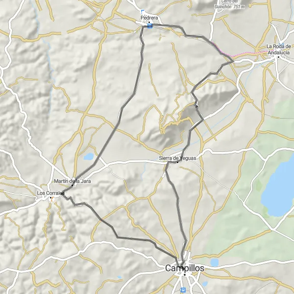
Embark on a challenging road cycling route through Campillos and the Sierra de Yeguas
This road cycling route starts from Campillos and takes you through the challenging Sierra de Yeguas. With steep climbs and sweeping descents, it is recommended for experienced cyclists who are seeking a thrill. The route also passes through Martín de la Jara and Pedrera, two charming towns where you can take a break and soak in the local culture. The highlight of this route is the stunning scenery of Sierra de Yeguas, offering panoramic views of the surrounding landscapes.
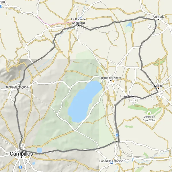
Enjoy the captivating landscapes along the road cycling route to Mollina
This scenic road cycling route takes you from Campillos to Mollina, covering a distance of 70 kilometers with a total ascent of 485 meters. The route showcases the vibrant Andalucían countryside, passing through Sierra de Yeguas, La Roda de Andalucía, and Colonia de Santa Ana. With its moderate difficulty level, this route is suitable for cyclists with a reasonable level of fitness. As you pedal through the picturesque landscapes, take in the charm of the traditional Andalucían towns and enjoy the breathtaking views along the way.
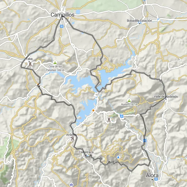
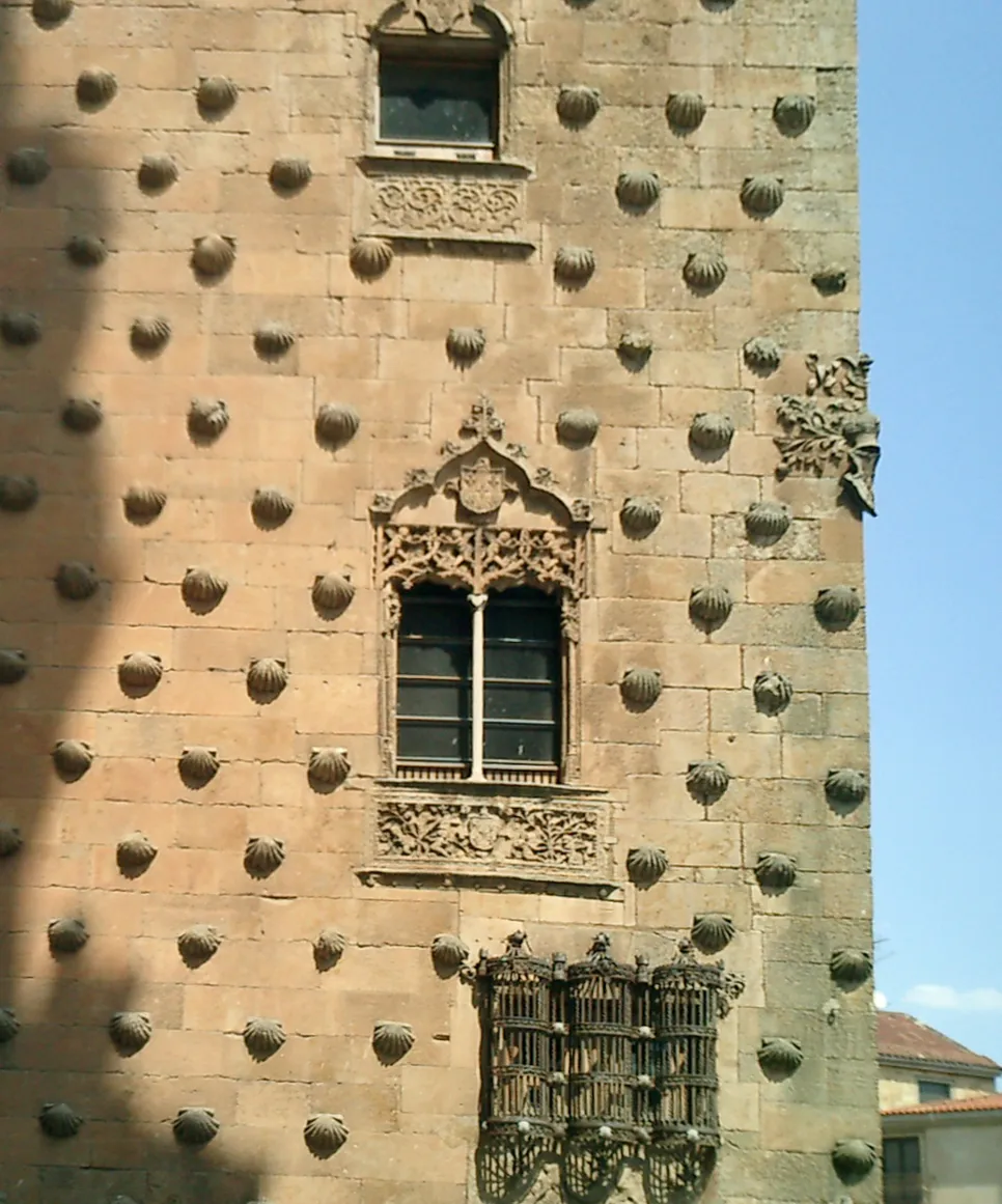
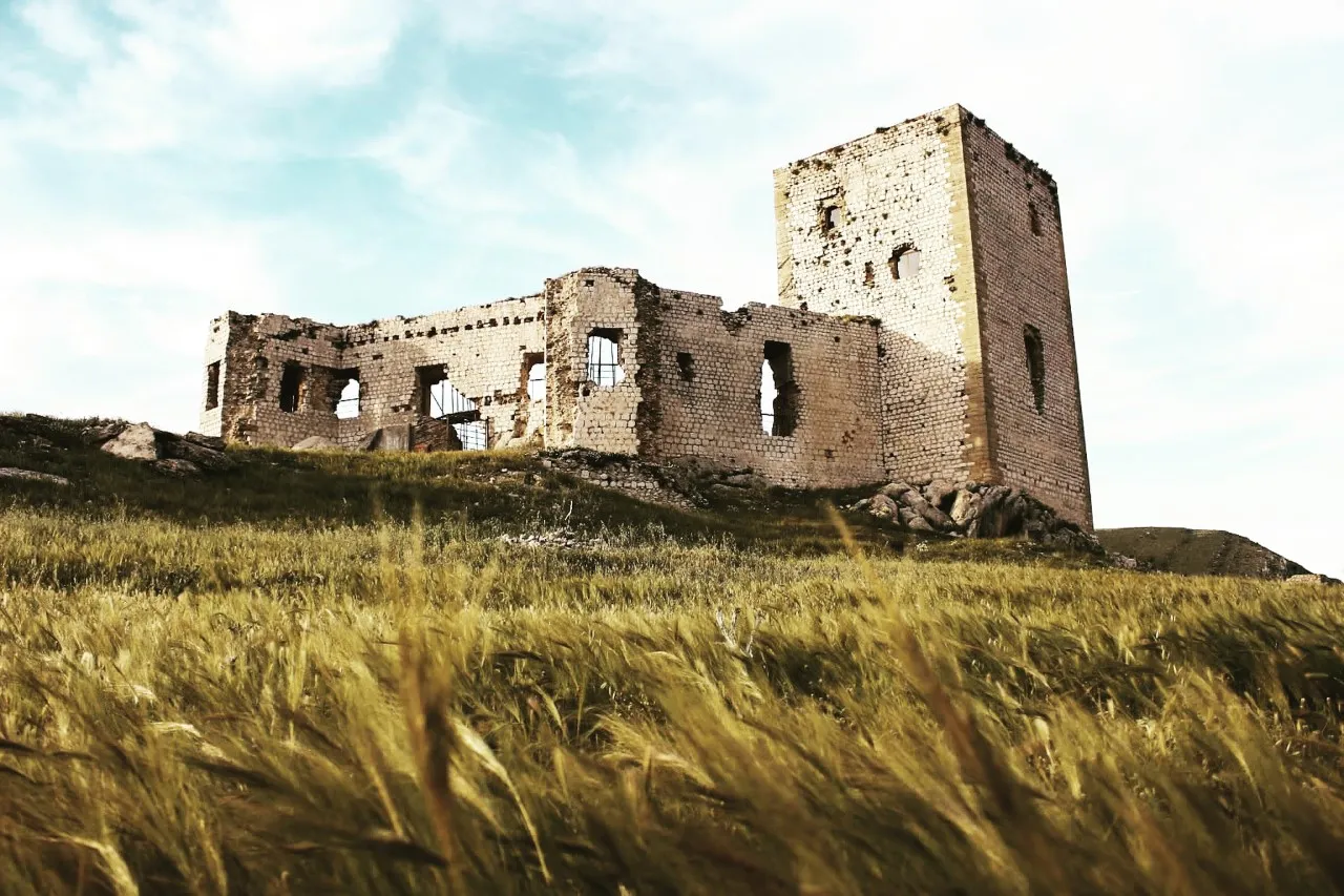
Conquer the challenges of this road cycling route to Castillo de la Estrella
This challenging road cycling route takes you from Campillos to Castillo de la Estrella, covering a distance of 100 kilometers with a total ascent of 1708 meters. The route is designed for experienced and well-trained cyclists, offering a demanding but rewarding experience. Along the way, you will pass through Mirador de los Tres Embalses, Valle de Abdalajís, and Carratraca, each offering unique highlights and stunning views. The final destination, Castillo de la Estrella, is a historic fortress with a rich history and breathtaking panoramic views of the surrounding landscapes.
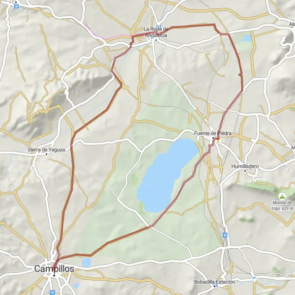
Discover the natural beauty of Laguna de las Palomas on this scenic gravel route
This scenic gravel cycling route takes you from Campillos to Laguna de las Palomas, covering a distance of 54 kilometers with a total ascent of 283 meters. The route offers a relatively easy difficulty level, making it suitable for cyclists of all levels. Along the way, you will pass through La Roda de Andalucía, Fuente de Piedra, and laguna de las Palomas, each offering unique highlights and natural beauty. Experience the serenity of the countryside as you cycle along the gravel paths and soak in the captivating landscapes of Andalucía.

Explore the beautiful countryside near Campillos
This round-trip cycling route near Campillos takes you through the stunning countryside of Andalucia. With a total ascent of 999 meters and a distance of 118 kilometers, this route offers a challenging yet rewarding experience for well-trained amateurs. The epicness score of this route is 4, with breathtaking landscapes and picturesque villages along the way. Highlights include: - Sierra de Yeguas (score: 4): Discover the rugged beauty of Sierra de Yeguas, known for its winding mountain roads and sweeping vistas. - Del Laguneto (score: 3): Take a break by the Laguneto Lake, a tranquil spot surrounded by nature. - Fuente de Piedra (score: 3): Visit the mesmerizing Fuente de Piedra, a natural lagoon famous for its flamingo population. - Villanueva de Algaidas (score: 4): Immerse yourself in the charming atmosphere of Villanueva de Algaidas, a traditional Andalucian village. - Peña de los Enamorados (score: 5): Marvel at the magnificent Peña de los Enamorados, a unique rock formation shaped like a sleeping giant. Overall, this route showcases the natural and cultural treasures of the Campillos region, making it a must-visit destination for cycling enthusiasts.
Campillos to Los Corrales
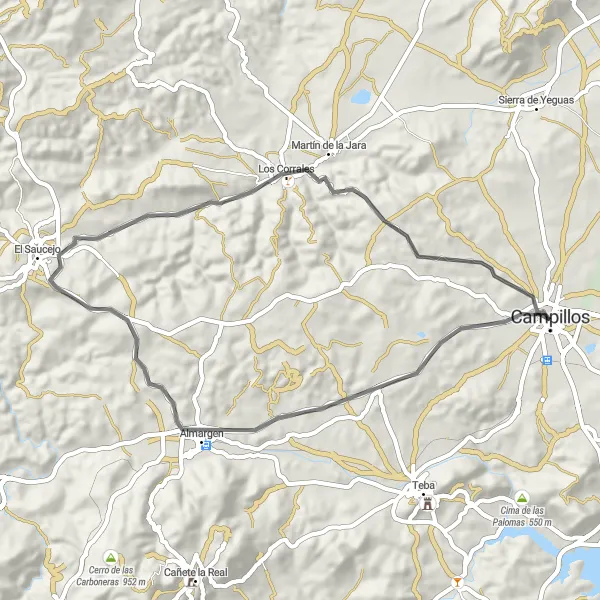
Explore the charming countryside from Campillos to Los Corrales
This road cycling route takes you through the picturesque countryside of Andalucía, covering a distance of 51 kilometers with a total ascent of 614 meters. You will pass through the towns of Almargen and El Saucejo, experiencing their unique charm as you cycle along. The route offers a moderate difficulty level, suitable for well-trained amateur cyclists. With its scenic views and cultural highlights, this route is a great choice for cycling enthusiasts seeking a memorable experience in the Andalucían countryside.
Gravel Ride to Sierra de Yeguas
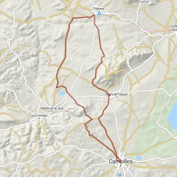
Embark on a thrilling gravel adventure to Sierra de Yeguas
This gravel cycling route takes you from Campillos to Sierra de Yeguas, covering a distance of 53 kilometers with an ascent of 727 meters. The route is ideal for gravel enthusiasts seeking an off-road adventure in the Andalucían countryside. With its challenging terrain and scenic landscapes, this route offers a moderate difficulty level, suitable for well-trained amateur cyclists. Experience the rugged beauty of Pedrera and Sierra de Yeguas, as you navigate through gravel paths and explore the hidden gems of Andalucía.
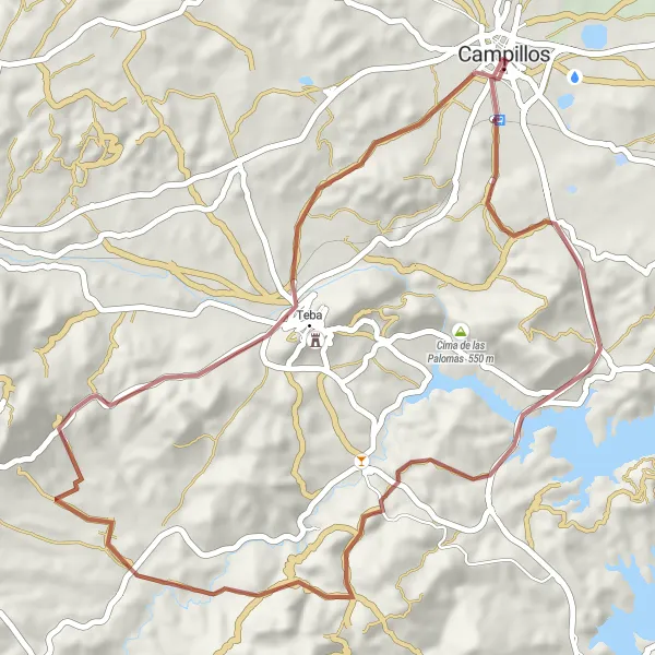
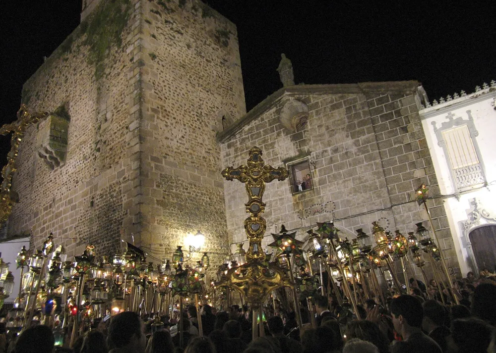
Cycling through Campillos, Teba, and enjoying bird watching at Buitres Peñarrubia Observatory
This gravel route takes you through the scenic town of Campillos, where you can start your adventure. As you cycle along, you will pass through Teba, a picturesque village known for its rich history and charming streets. One of the highlights of this route is the Buitres Peñarrubia Observatory, where you can witness majestic vultures in their natural habitat. Overall, this route offers a unique combination of natural beauty, cultural exploration, and bird watching.
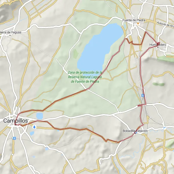
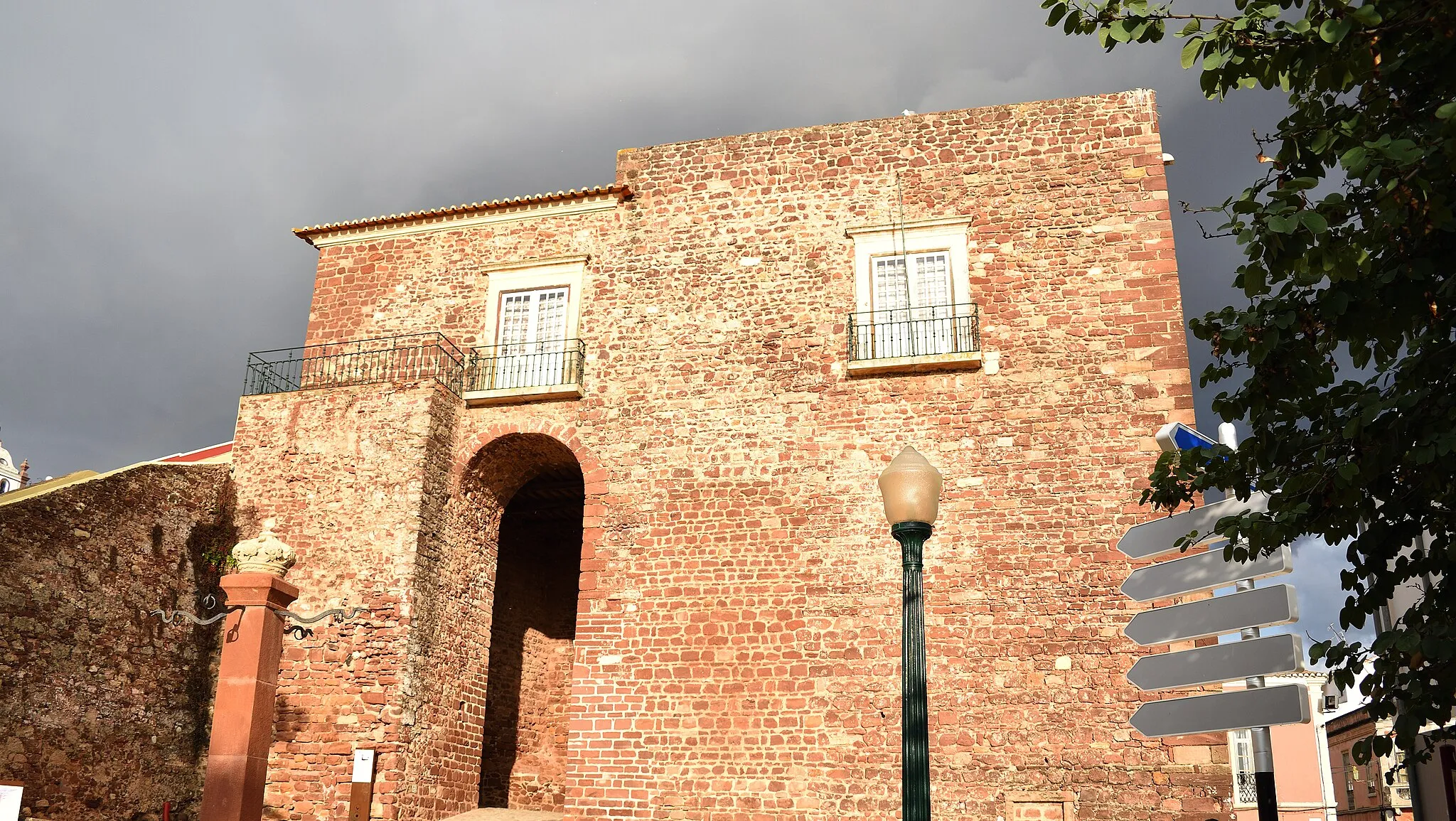
Visit the charming towns of Humilladero and Bobadilla Estación on this scenic gravel route
This gravel route starts from Campillos, taking you through the scenic landscapes of Andalucía. You'll pass through the charming town of Humilladero, known for its traditional architecture and friendly locals. The highlight of this route is Bobadilla Estación, a historic train station with architectural charm. Overall, this route combines natural beauty, cultural exploration, and a taste of local life in these lesser-known towns.
Cycling routes nearby:

Nearby regions: