![Cover image](https://images.tarmacs.app/cycling-routes/covers/spain/andalucia/cijuela-4.webp)
Enjoy peaceful rides and relaxed cycling in Cijuela.
Cycling routes from Cijuela
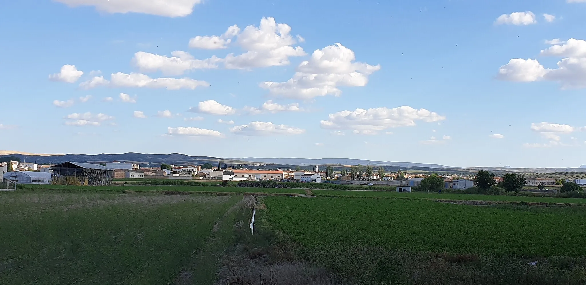
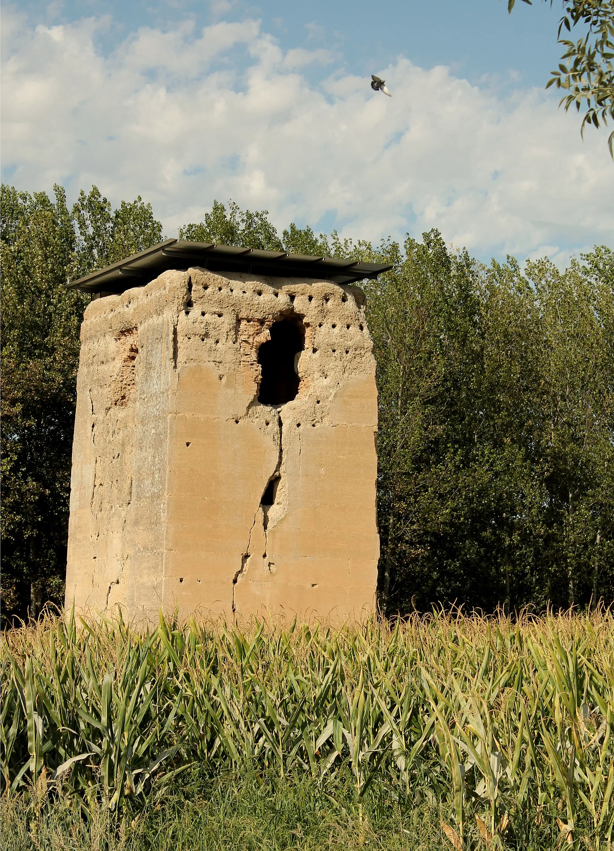
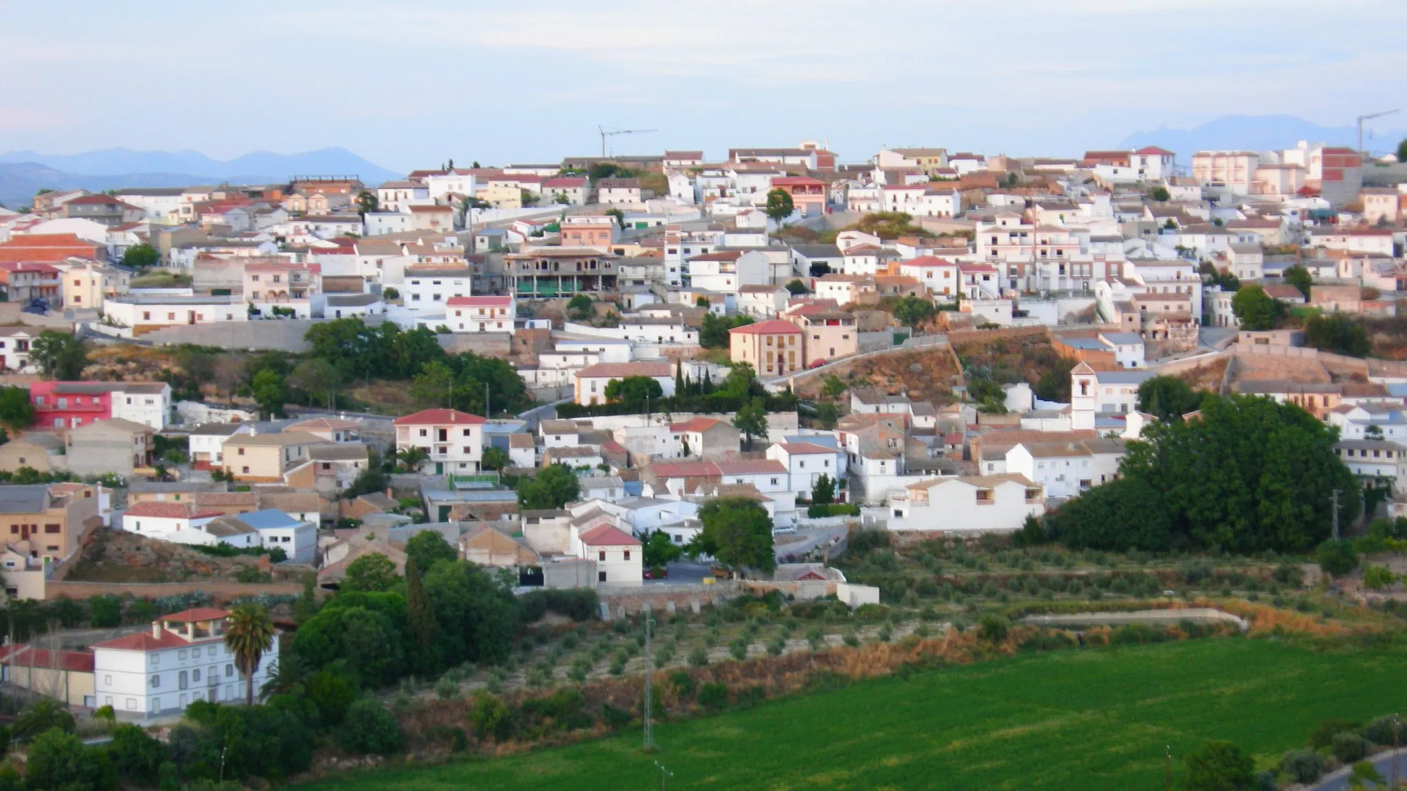
Cijuela in Andalucía, Spain, is a satisfactory locality for cyclists. The roads are generally in good condition, allowing for smooth rides. The terrain is mostly flat, which makes it suitable for leisurely rides or beginners. While Cijuela may not be known for its famous climbs or cycling hotspots, it offers a decent cycling experience with pleasant routes and a relaxed cycling atmosphere. Cijuela is an ideal location for those looking for tranquil rides in a flat terrain.
![Map miniature of "The Romilla Loop" cycling inspiration in Andalucía, Spain. Generated by Tarmacs.app cycling route planner](https://images.tarmacs.app/cycling-routes/routemaps/600/spain/andalucia/cijuela/road/360787.webp)
Experience the beautiful town of Romilla and its surrounding areas on this road cycling route.
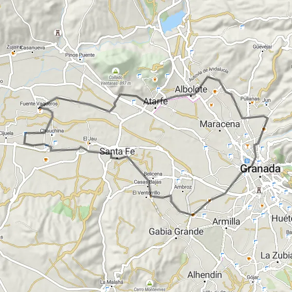
This scenic round-trip route starts near Cijuela and takes you through various picturesque towns and landscapes. The route has a total distance of 90km and a moderate ascent of 839m. It is suited for well-trained amateur cyclists who enjoy road cycling.
![Map miniature of "Gravel Route: Cijuela to Escóznar" cycling inspiration in Andalucía, Spain. Generated by Tarmacs.app cycling route planner](https://images.tarmacs.app/cycling-routes/routemaps/600/spain/andalucia/cijuela/gravel/360715.webp)
Embark on a gravel adventure through picturesque villages and rugged terrain.
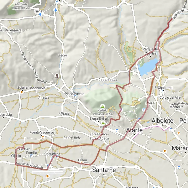
This gravel route starts in Cijuela and takes you through charming villages and challenging gravel paths. Covering a distance of 96 km with a total ascent of 1678 meters, experience the thrill of off-road cycling while enjoying the picturesque landscapes.
![Map miniature of "The Gravel Adventure" cycling inspiration in Andalucía, Spain. Generated by Tarmacs.app cycling route planner](https://images.tarmacs.app/cycling-routes/routemaps/600/spain/andalucia/cijuela/gravel/360705.webp)
Embark on an exciting gravel cycling adventure exploring the rugged terrain near Cijuela.
This gravel cycling route spans 53km with an ascent of 650m, perfect for those seeking an off-road adventure. The route showcases the natural beauty of the region and visits several charming towns along the way.
![Map miniature of "Gravel Route: Cijuela to Pedro Ruiz" cycling inspiration in Andalucía, Spain. Generated by Tarmacs.app cycling route planner](https://images.tarmacs.app/cycling-routes/routemaps/600/spain/andalucia/cijuela/gravel/360740.webp)
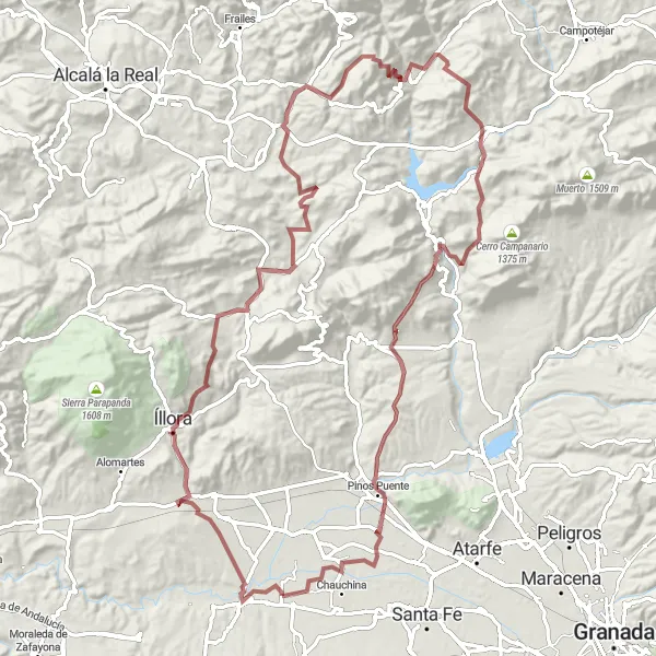
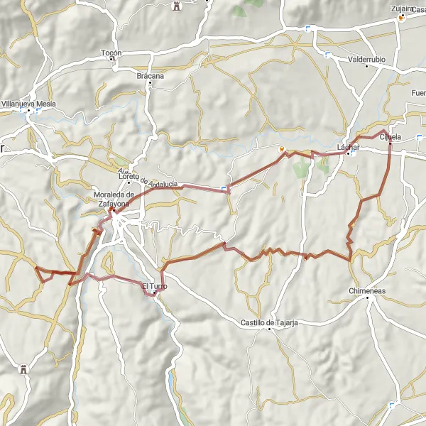
Cycle through picturesque villages and challenging gravel paths.
This gravel route starts in Cijuela and takes you through beautiful countryside and charming villages. The 103 km long route includes challenging gravel paths and a total ascent of 2022 meters. Enjoy the breathtaking views and rugged terrain as you make your way to the highlight of Pedro Ruiz.
![Map miniature of "The Rural Escape" cycling inspiration in Andalucía, Spain. Generated by Tarmacs.app cycling route planner](https://images.tarmacs.app/cycling-routes/routemaps/600/spain/andalucia/cijuela/gravel/360709.webp)
Escape into the serene countryside on this gravel cycling route exploring the outskirts of Cijuela.
This 55km gravel cycling route features a moderate ascent of 782m and takes you through scenic rural landscapes and quaint villages. It offers a peaceful and relaxed cycling experience away from the bustling cities.
![Map miniature of "Road Route: Fuensanta to Láchar" cycling inspiration in Andalucía, Spain. Generated by Tarmacs.app cycling route planner](https://images.tarmacs.app/cycling-routes/routemaps/600/spain/andalucia/cijuela/road/360742.webp)
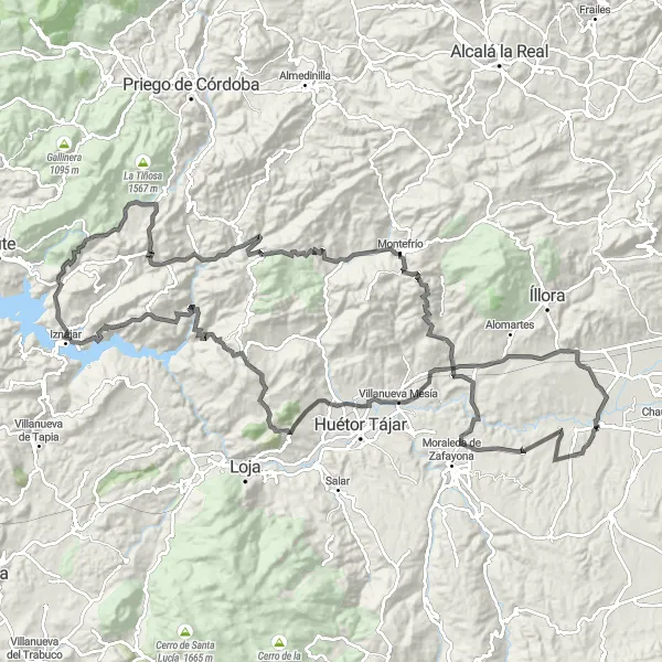
Test your endurance on a challenging road route through scenic landscapes.
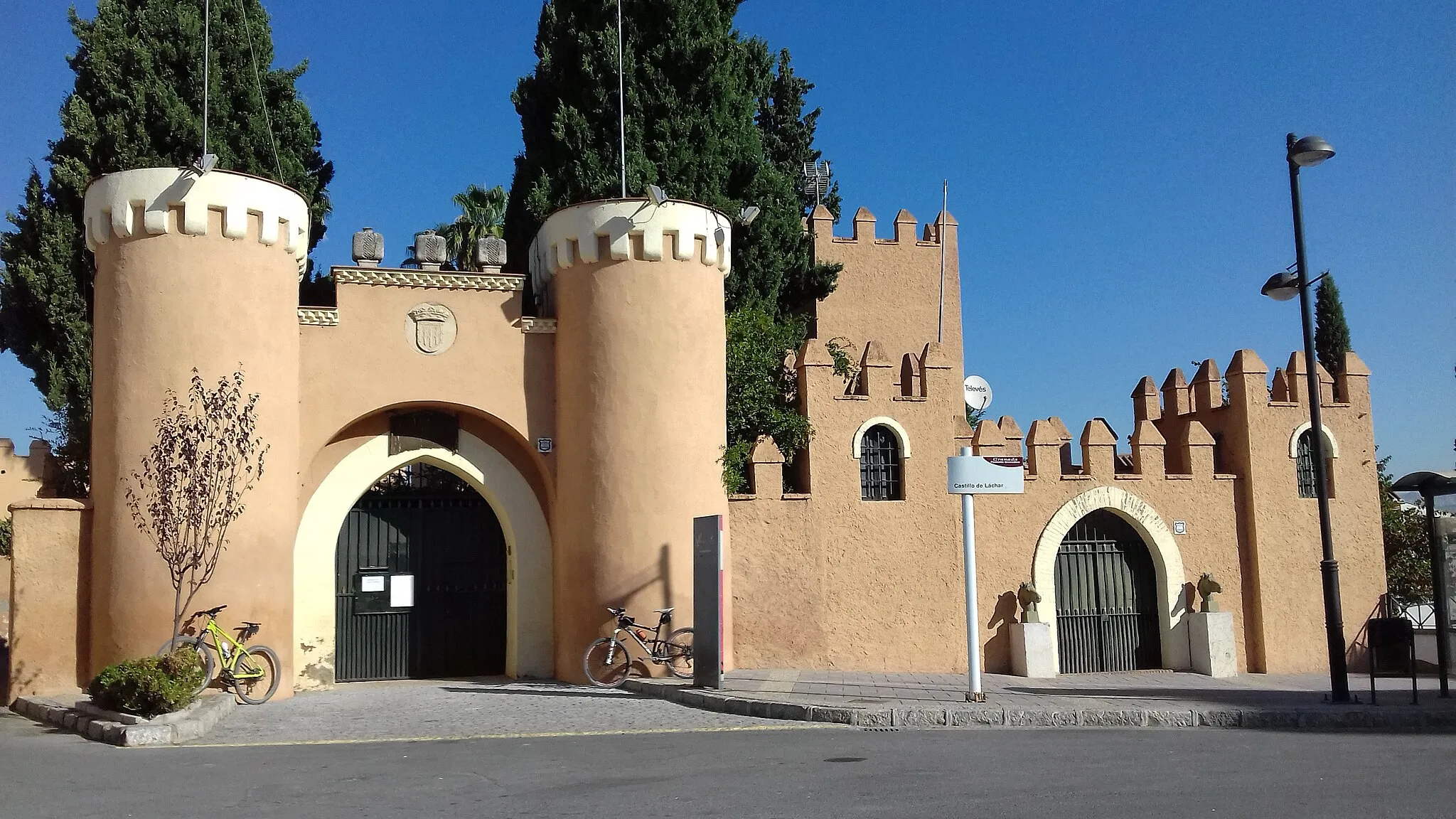
This road route covers a distance of 160 km and takes you through scenic landscapes and challenging terrains. Starting from Fuensanta, the route includes a total ascent of 2979 meters. Enjoy the breathtaking views as you make your way to the highlight of Láchar.
![Map miniature of "Road Route: El Turro to Obéilar" cycling inspiration in Andalucía, Spain. Generated by Tarmacs.app cycling route planner](https://images.tarmacs.app/cycling-routes/routemaps/600/spain/andalucia/cijuela/road/360754.webp)
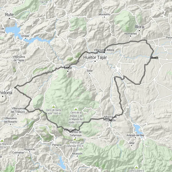
Conquer challenging climbs and soak in the beauty of the legendary viewpoints.
This road route covers a distance of 160 km with an ascent of 2162 meters. Test your endurance and climbing skills as you tackle challenging climbs and take in the stunning views along the way. Highlights include the Mirador de Alhama and the National Geographic Viewpoint.
![Map miniature of "Road Route: Fuensanta to Montefrío" cycling inspiration in Andalucía, Spain. Generated by Tarmacs.app cycling route planner](https://images.tarmacs.app/cycling-routes/routemaps/600/spain/andalucia/cijuela/road/360743.webp)
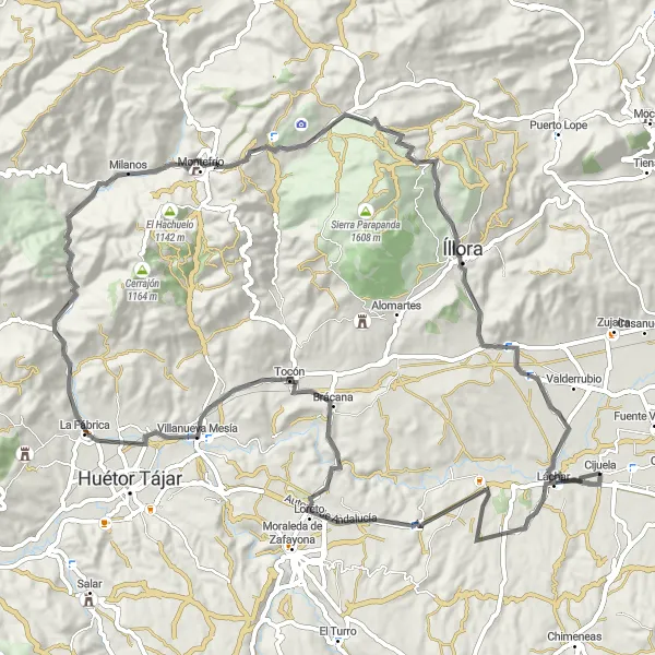
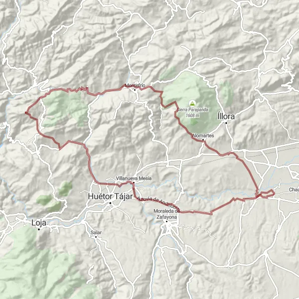
Enjoy a scenic road route with panoramic views of the Andalusian landscapes.
This road route takes you from Fuensanta to Montefrío, covering a distance of 93 km and a total ascent of 1305 meters. Experience the beauty of Andalusia as you cycle through scenic landscapes and enjoy panoramic views along the way.
![Map miniature of "Exploring the Vega" cycling inspiration in Andalucía, Spain. Generated by Tarmacs.app cycling route planner](https://images.tarmacs.app/cycling-routes/routemaps/600/spain/andalucia/cijuela/road/360786.webp)
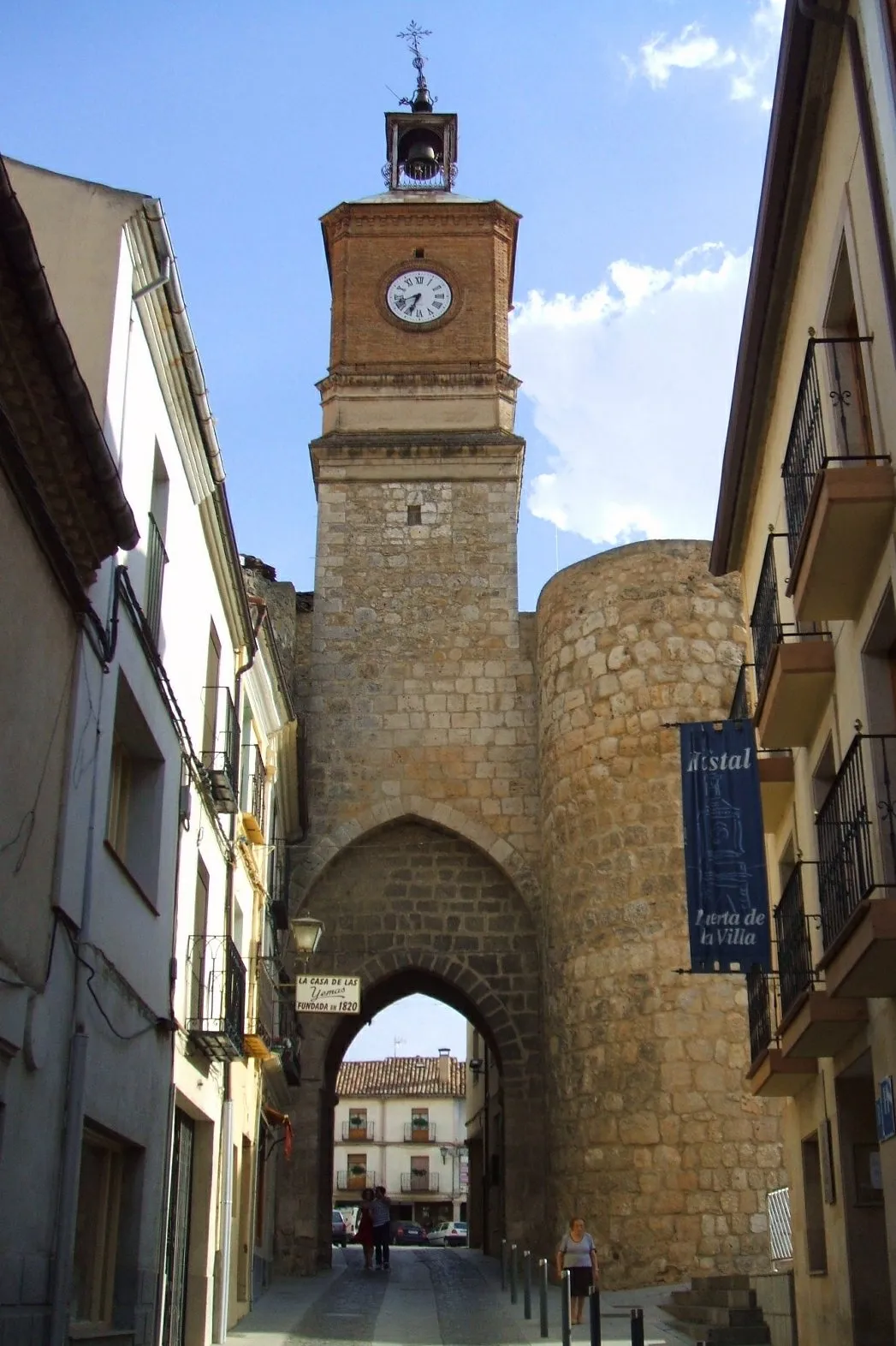
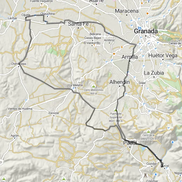
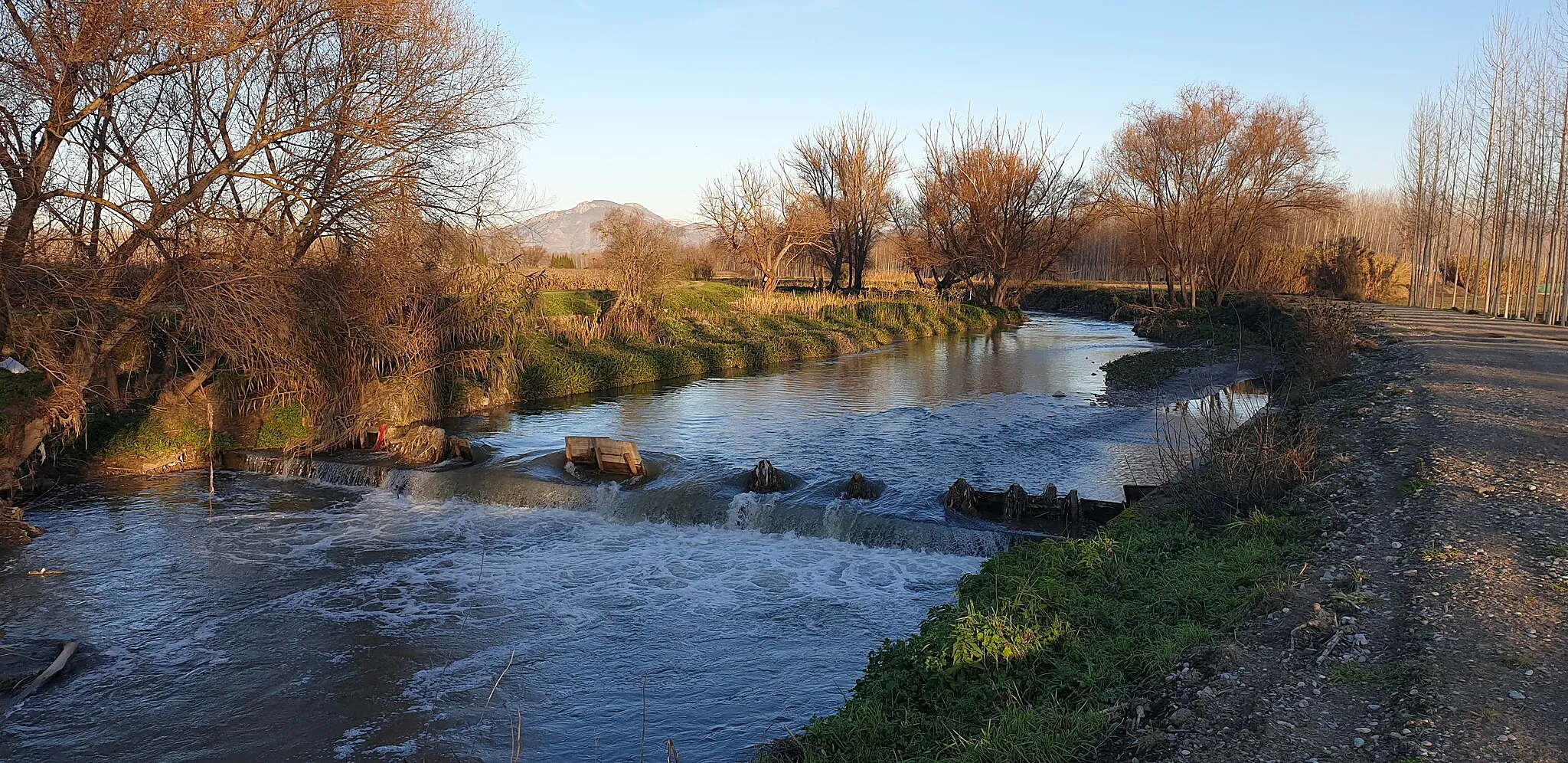
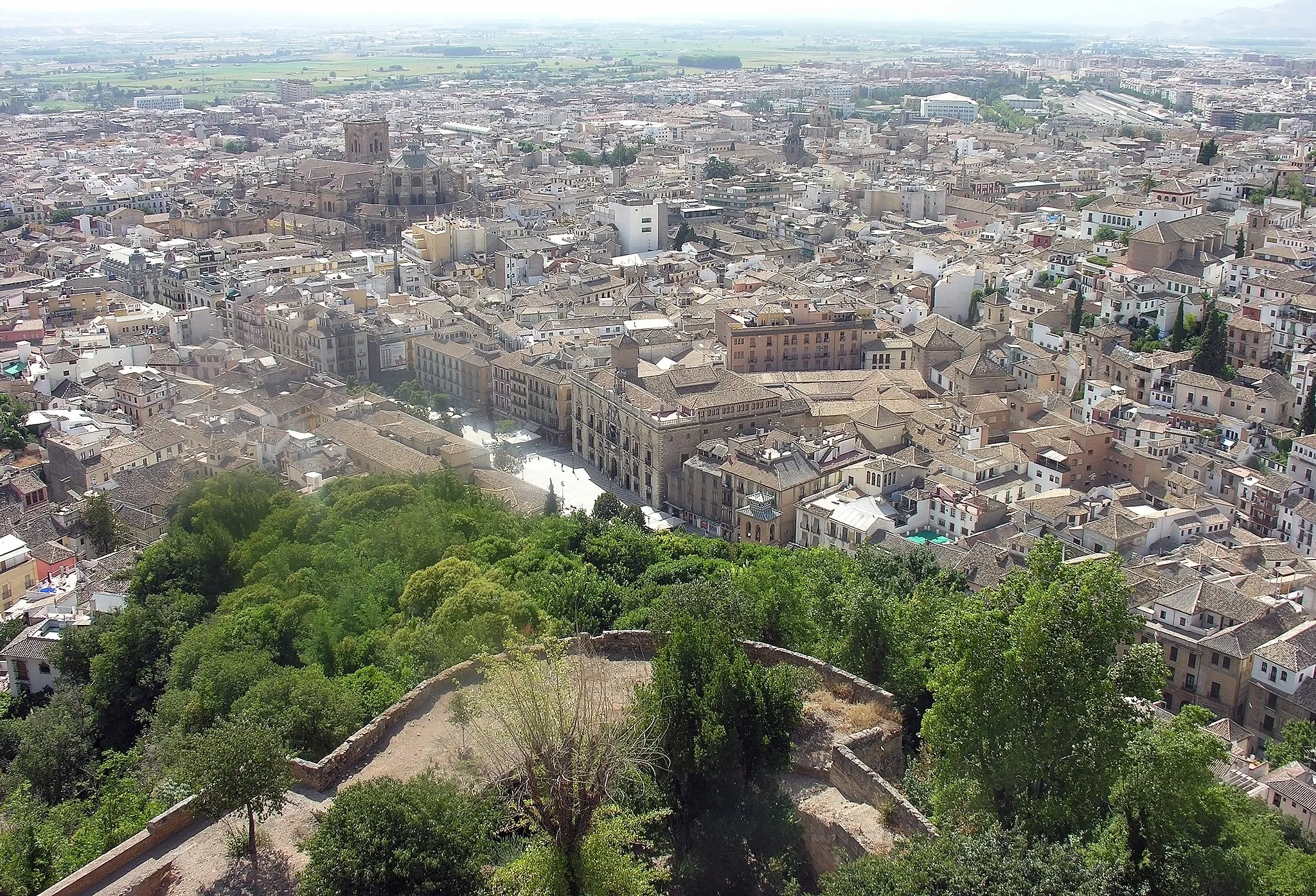
Discover the beauty of the Vega region with its historic sites and scenic landscapes on this road cycling route.
This road cycling route covers a distance of 52km with a gentle ascent of 250m. It takes you through breathtaking countryside and visits several notable towns and viewpoints.
Off-the-Beaten-Path Gravel
![Map miniature of "Off-the-Beaten-Path Gravel" cycling inspiration in Andalucía, Spain. Generated by Tarmacs.app cycling route planner](https://images.tarmacs.app/cycling-routes/routemaps/600/spain/andalucia/cijuela/gravel/360707.webp)
Venture off the beaten path and explore the hidden gems of the Cijuela region on this gravel cycling route.
This 54km gravel cycling route is perfect for adventurers who enjoy getting off the main roads. With a moderate ascent of 463m, you'll discover secluded villages and enjoy the rugged beauty of the countryside.
Cycling routes nearby:
![Image of Láchar](https://images.tarmacs.app/cycling-routes/covers/spain/andalucia/lachar-5.webp)
![Image of Fuente Vaqueros](https://images.tarmacs.app/cycling-routes/covers/spain/andalucia/fuente-vaqueros-5.webp)
![Image of Chauchina](https://images.tarmacs.app/cycling-routes/covers/spain/andalucia/chauchina-4.webp)
![Image of Pinos Puente](https://images.tarmacs.app/cycling-routes/covers/spain/andalucia/pinos-puente-5.webp)
![Image of Atarfe](https://images.tarmacs.app/cycling-routes/covers/spain/andalucia/atarfe-4.webp)
![Image of Moraleda de Zafayona](https://images.tarmacs.app/cycling-routes/covers/spain/andalucia/moraleda-de-zafayona-5.webp)
![Image of Albolote](https://images.tarmacs.app/cycling-routes/covers/spain/andalucia/albolote-5.webp)
![Image of Maracena](https://images.tarmacs.app/cycling-routes/covers/spain/andalucia/maracena-5.webp)
Nearby regions:
![Image of Castilla y León](https://images.tarmacs.app/cycling-routes/covers/spain/castilla-y-leon/almazan-3.webp)
![Image of Castilla-La Mancha](https://images.tarmacs.app/cycling-routes/covers/spain/castilla-la-mancha/cifuentes-3.webp)
![Image of Extremadura](https://images.tarmacs.app/cycling-routes/covers/spain/extremadura/burguillos-del-cerro-4.webp)
![Image of Comunitat Valenciana](https://images.tarmacs.app/cycling-routes/covers/spain/comunitat-valenciana/aspe-4.webp)
![Image of Región de Murcia](https://images.tarmacs.app/cycling-routes/covers/spain/region-de-murcia/moratalla-4.webp)
![Image of Algarve](https://images.tarmacs.app/cycling-routes/covers/portugal/algarve/armacao-de-pera-4.webp)
![Image of Área Metropolitana de Lisboa](https://images.tarmacs.app/cycling-routes/covers/portugal/area-metropolitana-de-lisboa/sesimbra-5.webp)
![Image of Alentejo](https://images.tarmacs.app/cycling-routes/covers/portugal/alentejo/aveiras-de-cima-5.webp)