Colmenar: Natural beauty and exciting terrain in Andalucía, Spain.
Cycling routes from Colmenar
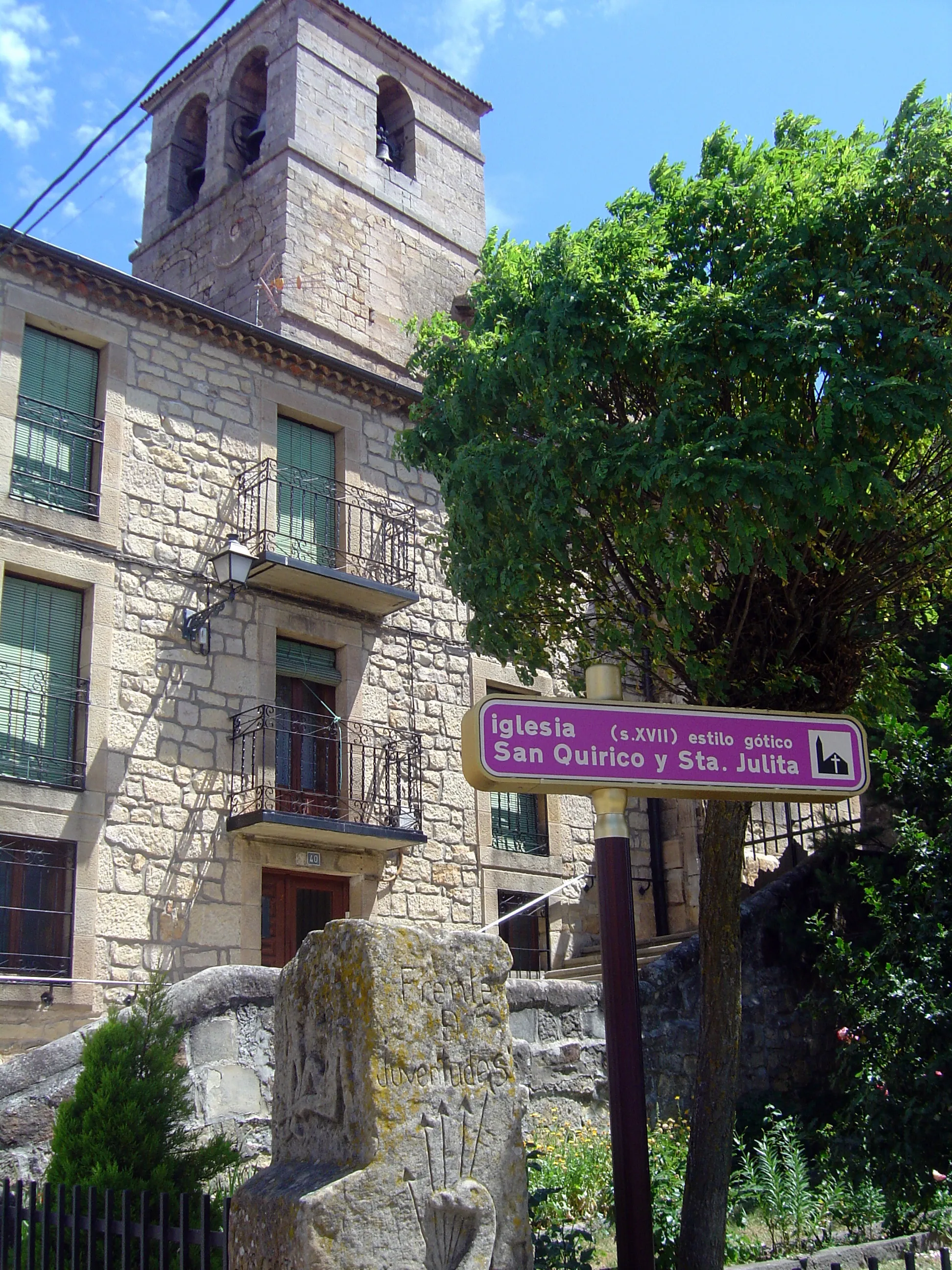
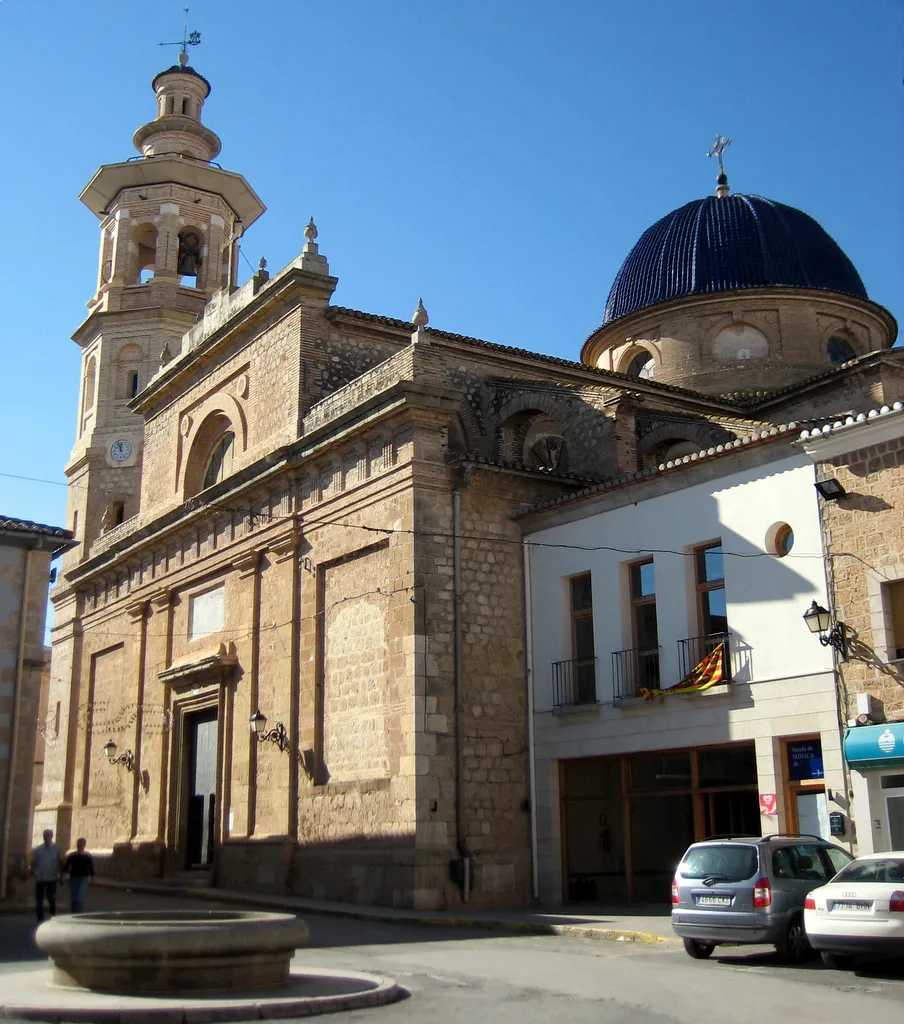
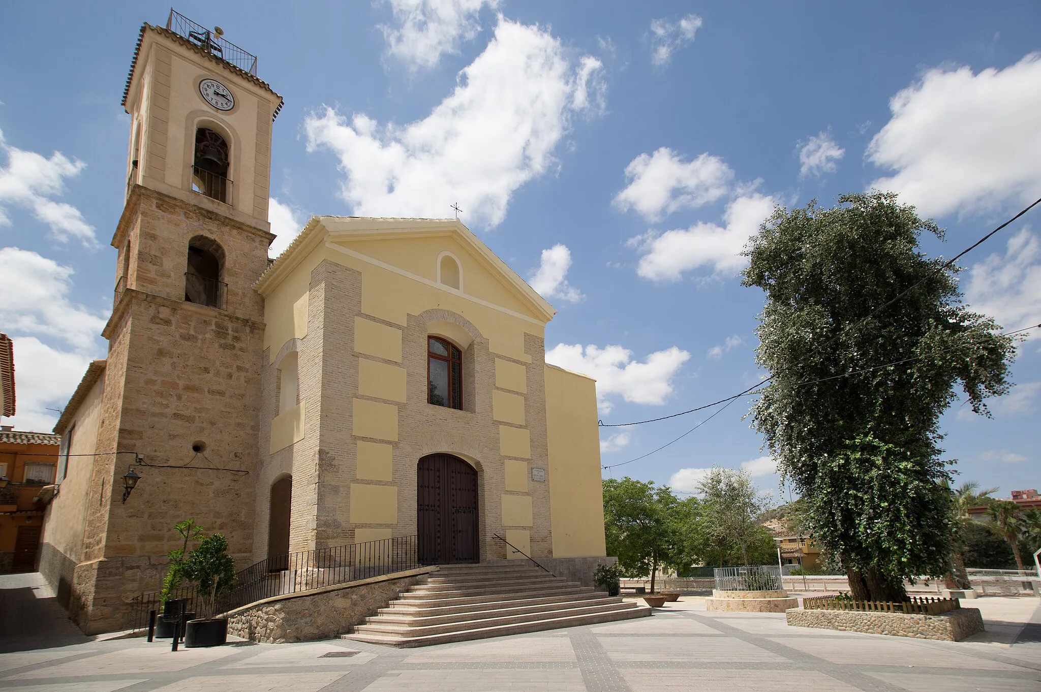
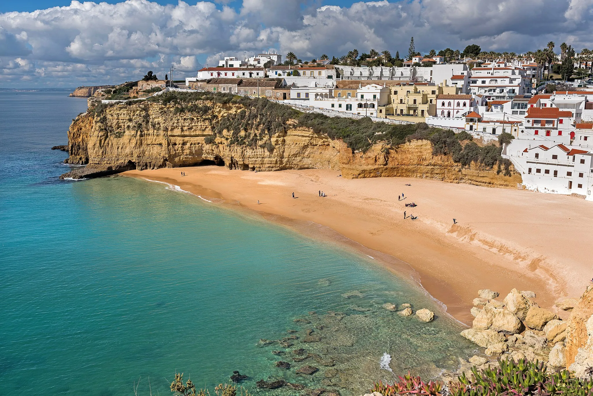
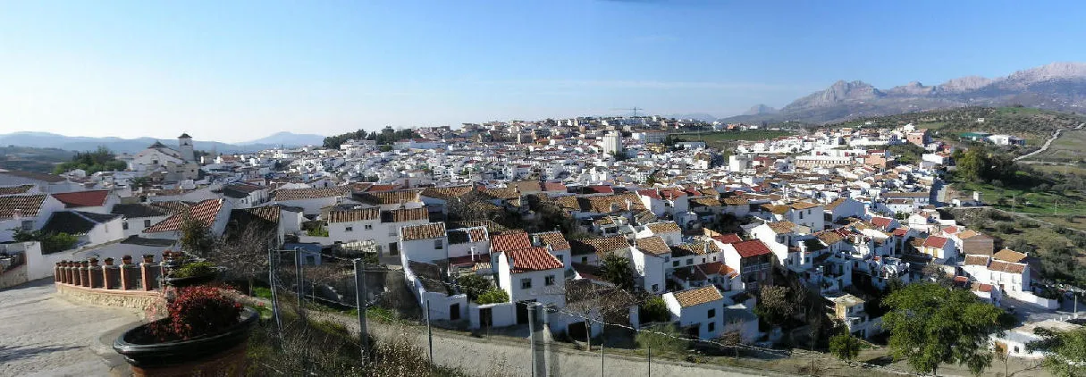
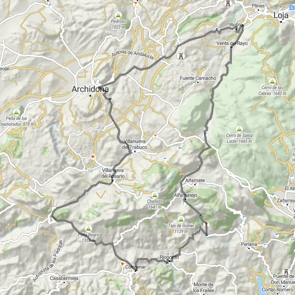
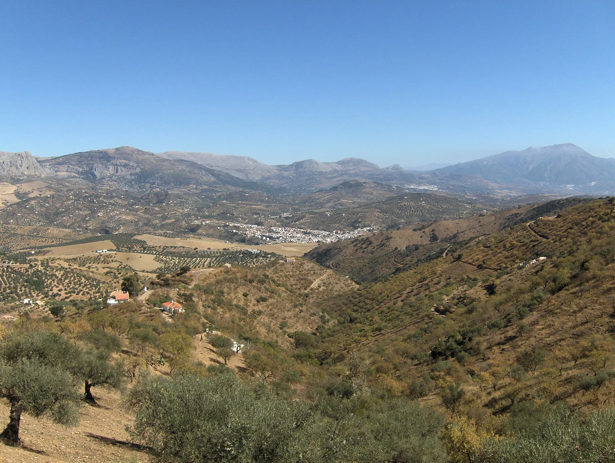
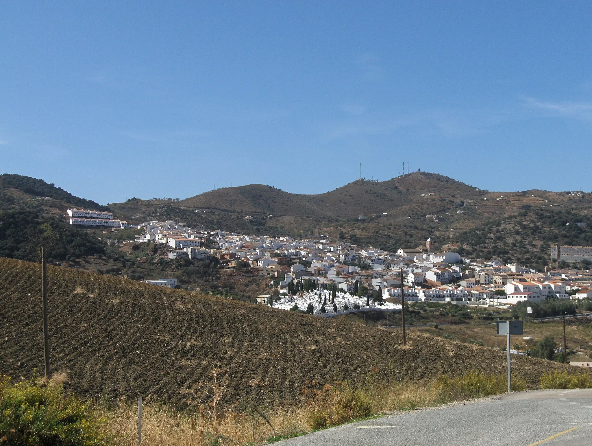
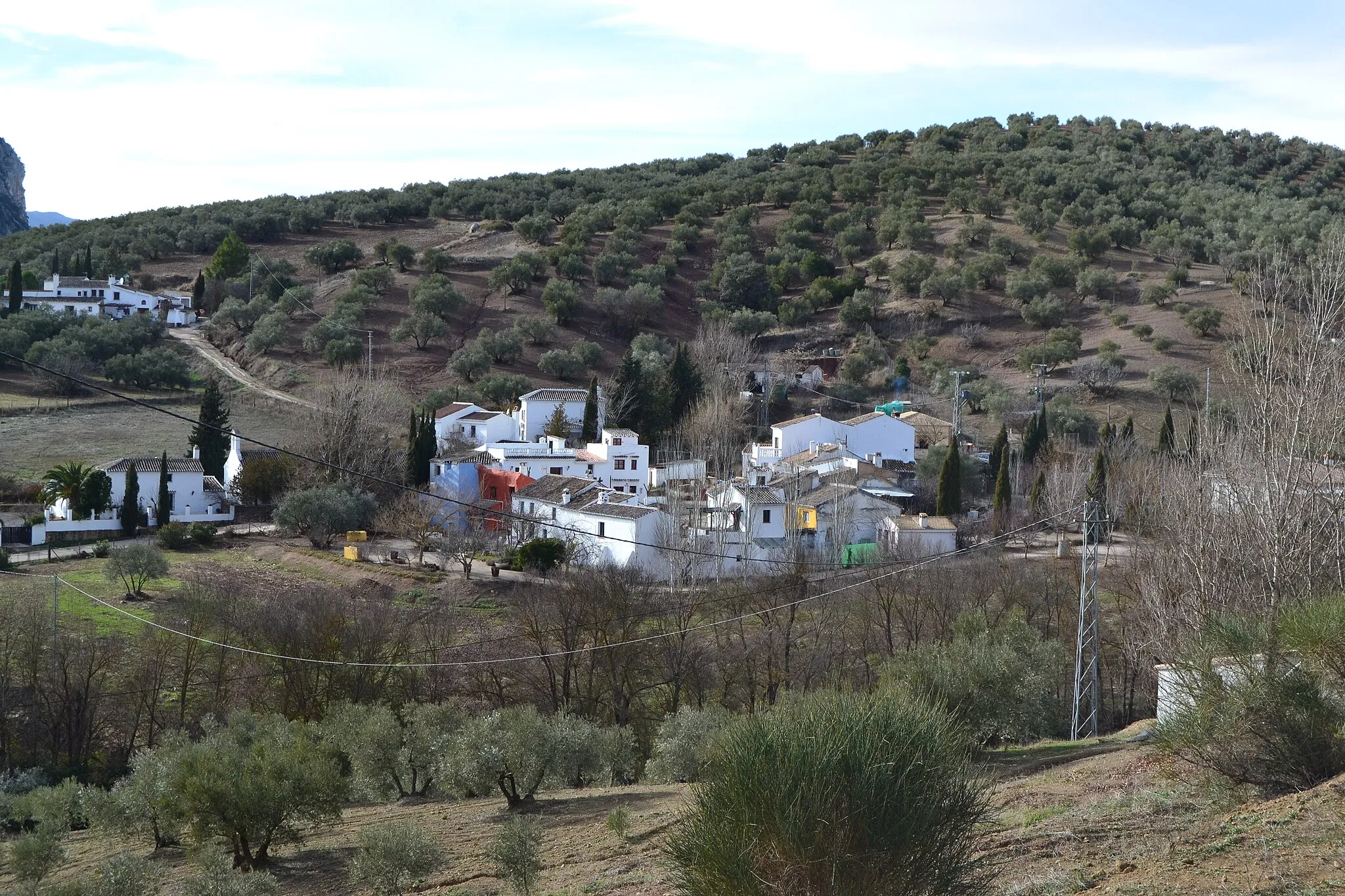
Colmenar, situated in Andalucía, Spain, is a cycling paradise nestled amidst stunning natural landscapes. The locality offers a suite of road and gravel routes, suitable for both seasoned cyclists and leisurely riders. Riders can enjoy the region's diverse scenery, including mountains, countryside, and olive groves. Colmenar is located in the famous Montes de Málaga Natural Park, known for its diverse wildlife, expansive forests, and exhilarating climbs. The locality is also a popular spot for birdwatching and offers numerous hiking trails for those who want to explore off the bike. With its natural beauty and cycling-friendly atmosphere, Colmenar is a must-visit destination for outdoor enthusiasts.
Serpentine Gravel Adventure
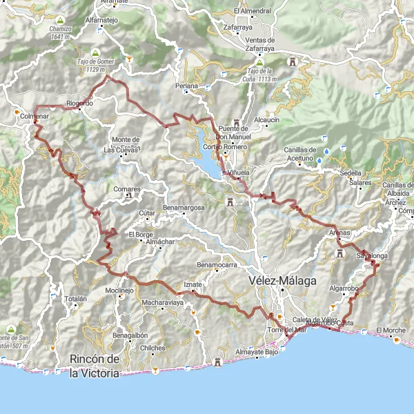
Explore the winding gravel roads around Colmenar
This gravel route takes you on a serpentine adventure through the beautiful countryside near Colmenar. With a total distance of 121 kilometers, it offers a challenging but rewarding ride. The route includes several highlights such as Riogordo, Viñuela, Sayalonga, Torre del Mar, Iznate, and of course, Colmenar. These charming towns are perfect spots for rest and exploration along the way. Be prepared for a tough ascent of 3982 meters, but the epic scenery and unique riding experience make it all worthwhile. Suitable for experienced amateur cyclists looking for a thrilling gravel adventure.
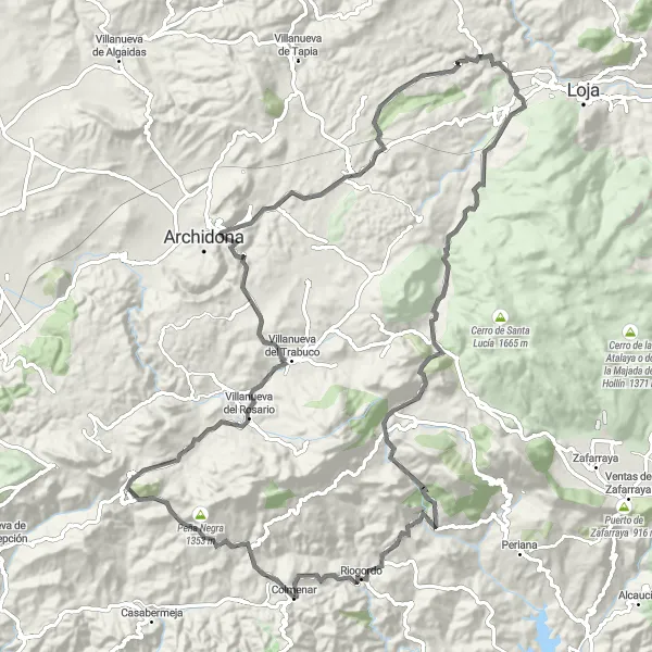
An adventurous road route through picturesque villages and mountainous landscapes.
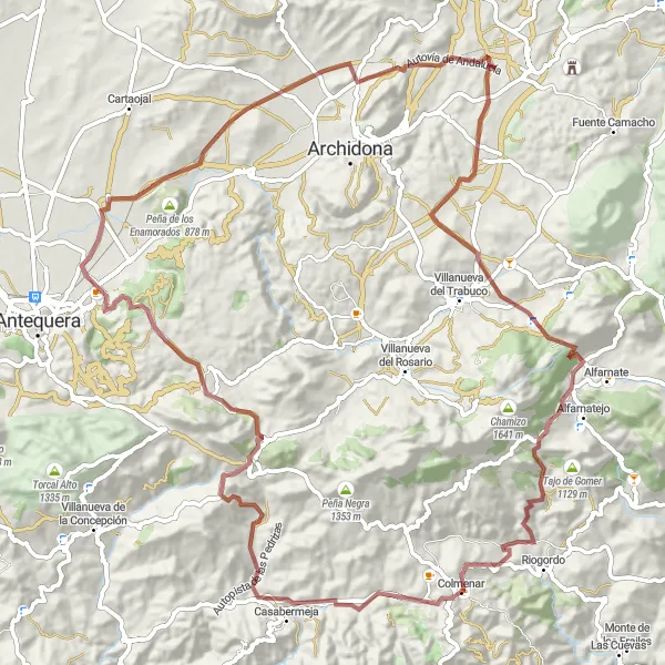
Embark on an adventurous road trip starting near Colmenar and explore the picturesque villages and mountainous landscapes of Andalucía. This challenging route covers a total distance of 111 kilometers, with an ascent of 1,926 meters. Highlights include Peña Negra, a majestic mountain peak offering breathtaking views, and Villanueva del Rosario, a quaint village with whitewashed houses and narrow streets. In addition, cyclists will pass by Cerro Artacho, known for its ancient ruins, and Los Alazores, a rural hamlet surrounded by olive groves. With a difficulty rating of 4, this route is ideal for experienced cyclists seeking an adventurous tour through varied landscapes and cultural gems.
A challenging road route with diverse highlights and breathtaking landscapes.
This road route starting near Colmenar offers a challenging cycling experience, combining diverse highlights and breathtaking landscapes. Cyclists will ride through scenic villages such as Villanueva de la Concepción, known for its charming white houses. The route also includes cultural spots like the Capilla Tribuna Virgen Socorro and the Ruta de las antiguas fábricas textiles, where cyclists can learn about the region's industrial history. With a difficulty rating of 3, this route is suitable for experienced cyclists looking for a mix of challenging terrain and cultural exploration.
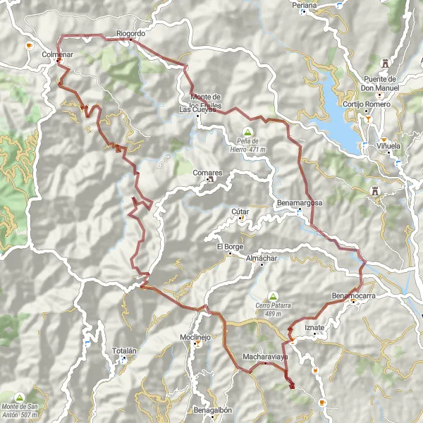
A challenging gravel route showcasing rugged terrains and cultural gems.
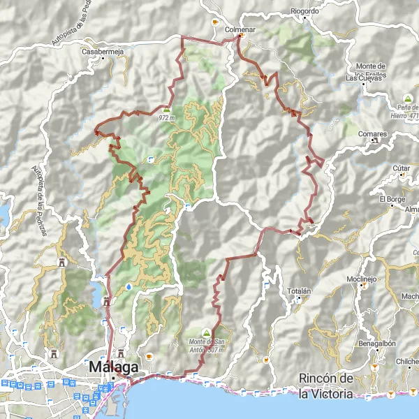
Embark on a challenging gravel route starting near Colmenar and immerse yourself in rugged terrains and cultural gems of Andalucía. This 76-kilometer route includes the Peña de Hierro, a dramatic rock formation with stunning views, and Benamocarra, a picturesque village known for its Moorish-inspired architecture. Cyclists will also pass through Macharaviaya, the birthplace of renowned statesman Bernardo de Gálvez, featuring a museum dedicated to his life. With an ascent of 2,719 meters, this route is best suited for experienced gravel cyclists seeking a thrilling adventure amidst unique landscapes and historical wonders.
Explore the scenic gravel roads near Colmenar
Discover the picturesque landscapes surrounding Colmenar with this gravel adventure route. Covering a total distance of 89 kilometers and boasting an ascent of 3304 meters, it offers both a challenging and visually stunning experience. Highlights along the route include Balneario Baños del Carmen, Mirador Este, Marquis of Casa Loring Mansion, Águila, and Jotrón. These markers represent glimpses into the natural and architectural wonders of the area. The difficulty level for this route is 5, making it suitable for experienced cyclists seeking a thrilling challenge.
A scenic gravel route with a challenging ascent and picturesque highlights.
This gravel route starting near Colmenar takes cyclists through the beautiful scenery of Andalucía. The route includes a challenging ascent and covers a total distance of 101 kilometers. Highlights along the route include Casabermeja, a charming village known for its 16th-century church, and Villanueva de Cauche, a small town featuring traditional whitewashed houses. Cyclists will also pass through Colmenar, the starting point of this adventurous and scenic round-trip cycling route.
Embark on a journey through stunning landscapes by road
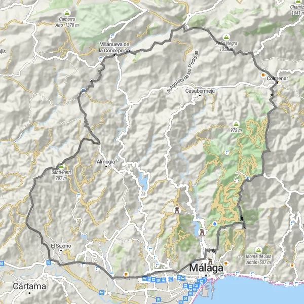
This road cycling route near Colmenar takes you through some of Andalucía's most picturesque landscapes. With a distance of 109 kilometers and an ascent of 2458 meters, it offers a challenging but rewarding experience. Highlights along the way include Reina, Cerro de la Tortuga, Acueducto de Torre Atalaya, Estación de Cártama, Santi-Petri, Villanueva de la Concepción, Peña Negra, and of course, Colmenar. These places not only offer fantastic photo opportunities but also a chance to discover the history and culture of the region. Difficulty Level: 3, Epicness Level: 4
Embark on an epic road cycling route through stunning landscapes
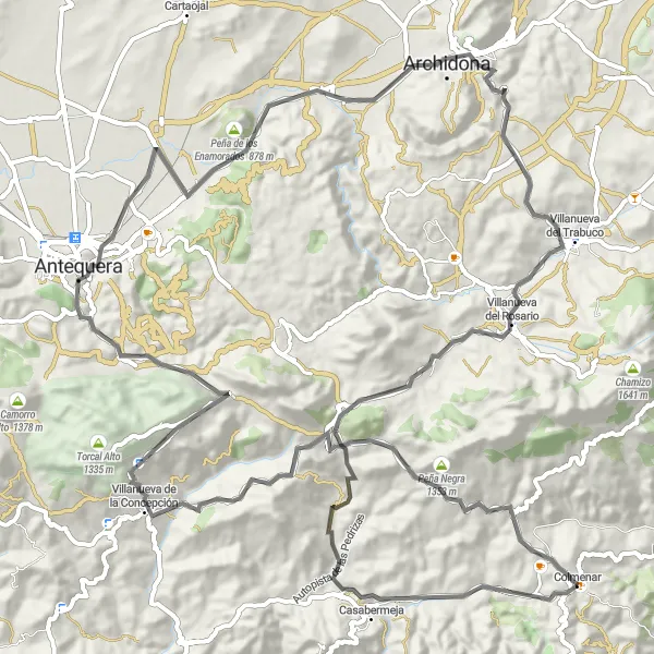
This road cycling route near Colmenar offers an epic adventure through the awe-inspiring landscapes of Andalucía. With a distance of 107 kilometers and an ascent of 2030 meters, it is suitable for experienced cyclists seeking a challenging but unforgettable ride. Highlights of the route include Peña Negra, Villanueva de la Concepción, Capilla Tribuna Virgen Socorro, Observatorio de El Caminante, Peña de los Enamorados, Plaza Ochavada, Villanueva del Rosario, Villanueva de Cauche, and Colmenar. These places offer both stunning vistas and cultural experiences. Difficulty Level: 4, Epicness Level: 4
Enjoy a road cycling route through stunning landscapes
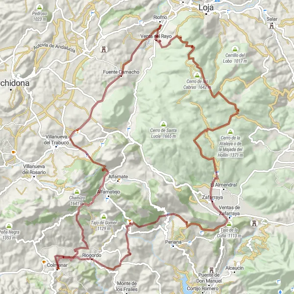
Explore the beauty of Andalucía's countryside with this road cycling route near Colmenar. Covering a distance of 105 kilometers and an ascent of 1810 meters, it offers a challenging yet scenic ride. Highlights along the way include Peña Negra, Villanueva de Cauche, Villanueva del Rosario, Cerro Artacho, Riofrío, Los Alazores, Puerto de los Alazores, and Riogordo. These places not only provide stunning views but also a chance to immerse yourself in the tranquil nature of the region. Difficulty Level: 3, Epicness Level: 3
A legendary gravel route featuring famous historical spots and breathtaking mountain passes.
Get ready for a legendary gravel route starting near Colmenar, featuring famous historical spots and breathtaking mountain passes. This 115-kilometer route includes highlights such as Castellón, a fortified town with ancient castle ruins, and the Cerro de la Encina, an impressive hilltop fortress offering panoramic views. Cyclists will also ride through Zafarraya, a historic village famous for its caves and archaeological finds. The route's epicness is elevated by the challenging Puerto de Zafarraya, a mountain pass that attracts cycling enthusiasts from around the world. With an ascent of 3,237 meters, this route is only recommended for experienced gravel cyclists seeking a thrilling and memorable adventure.
Cycling routes nearby:


Nearby regions: