Mountain Challenge: Lubrín and Beyond
A road cycling route starting from Fines
Embark on an epic road journey through Lubrín and its surroundings
Map
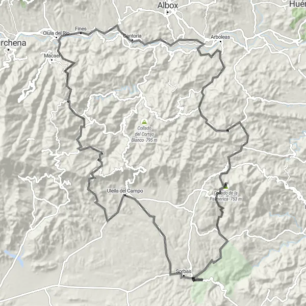
This road cycling route covers a distance of 135 kilometers, offering a thrilling adventure through Lubrín and the picturesque countryside. With a difficulty level of 5 and an epicness rating of 4, this route is ideal for experienced cyclists seeking a challenge. Starting near Fines, this route showcases the diverse landscapes of Andalucía.
road
135 km
2617 m
Savage
Route profile
Highlights on the route
0 km
0 km
Start: Fines Village centerFines: Exploring the rural landscapes of Fines and enjoying peaceful rides.
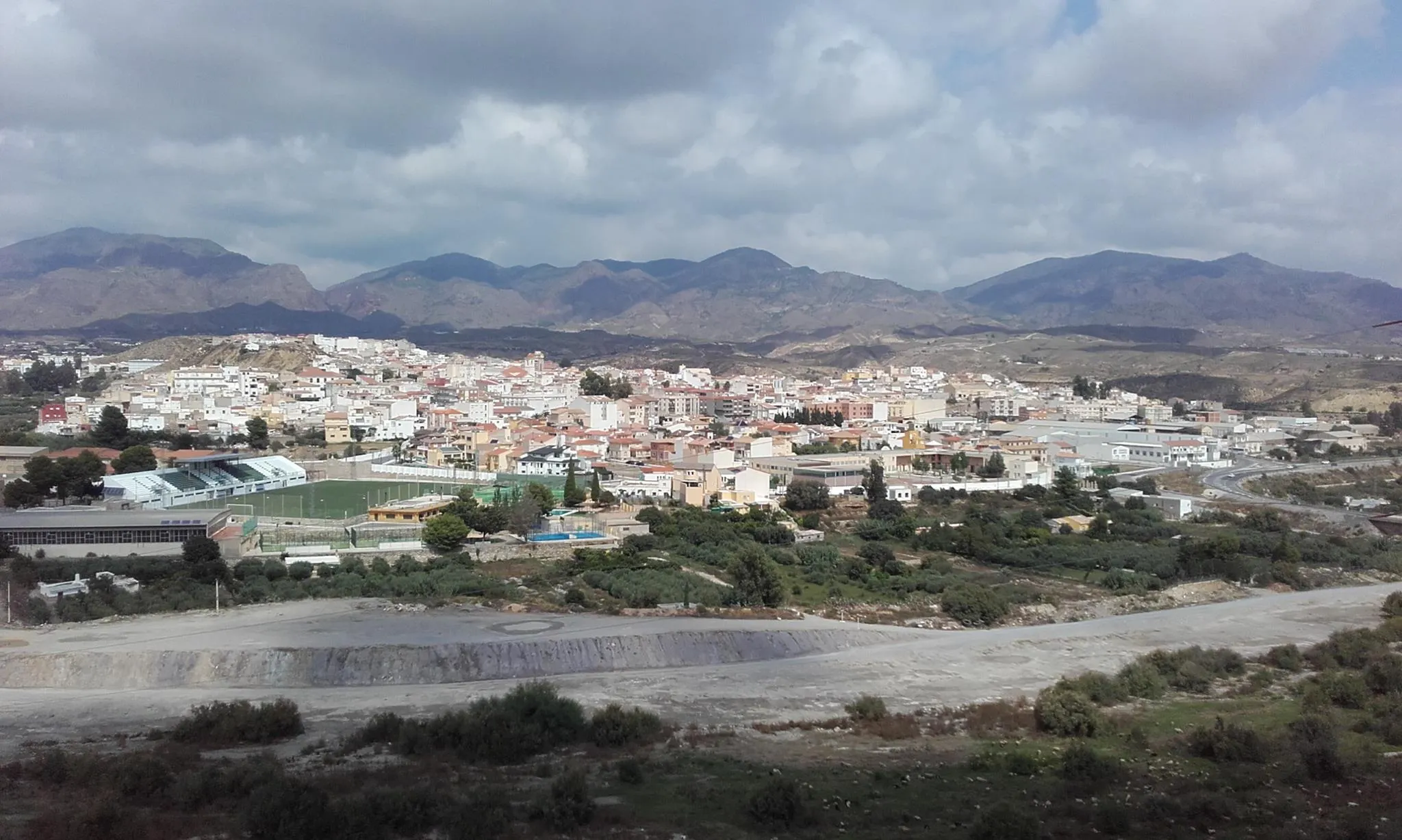
Fines is a locality located in Andalucía, Spain. As a road and gravel cyclist, Fines offers a range of cycling routes suitable for different abilities. The area is surrounded by beautiful natural landscapes and provides cyclists with varied terrain, both flat and hilly. Fines does not have any famous cycling-related spots or well-known climbs nearby, but its rural charm and peaceful roads create a pleasant cycling atmosphere. Overall, Fines is a good choice for cyclists looking to explore the scenic countryside of Andalucía.47 km
47 km
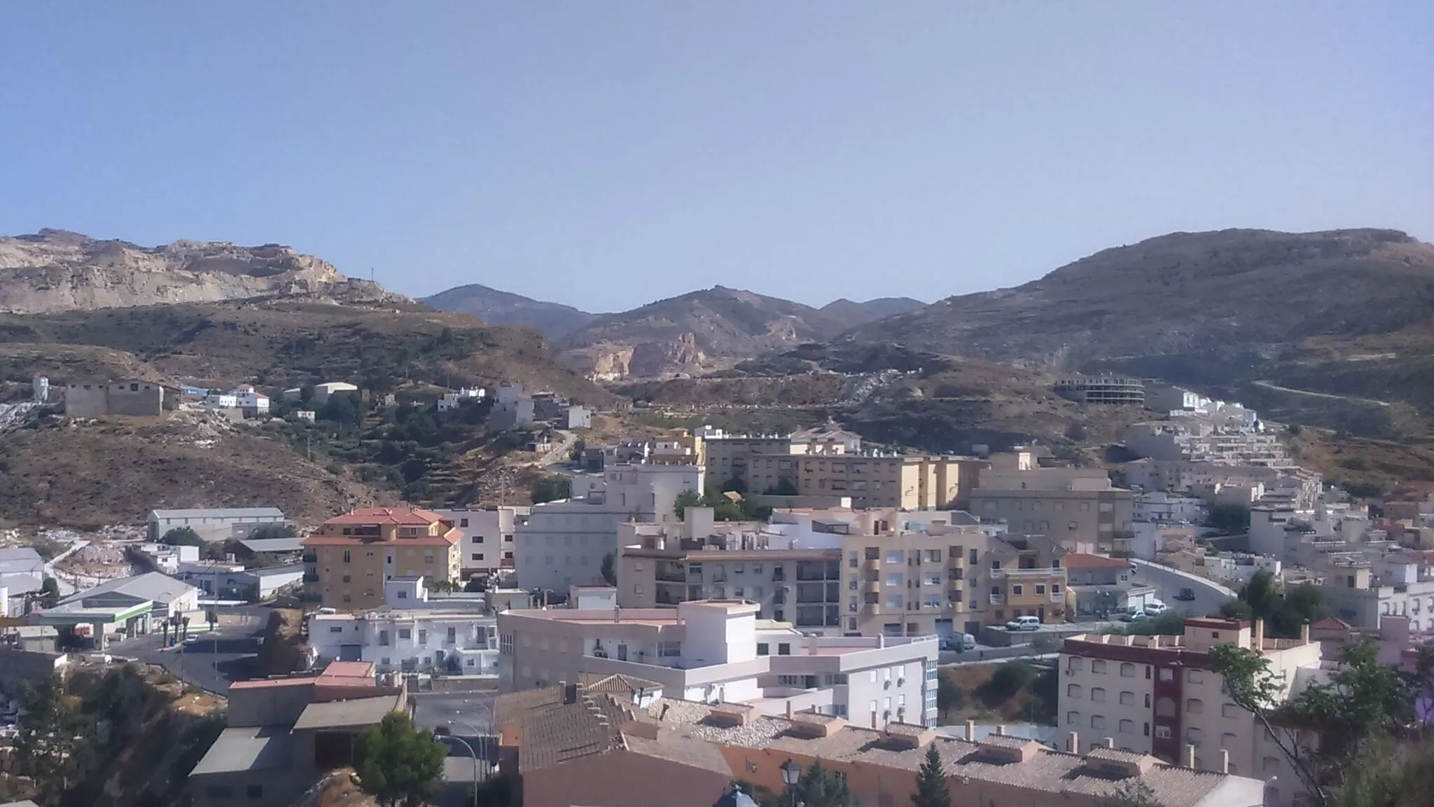
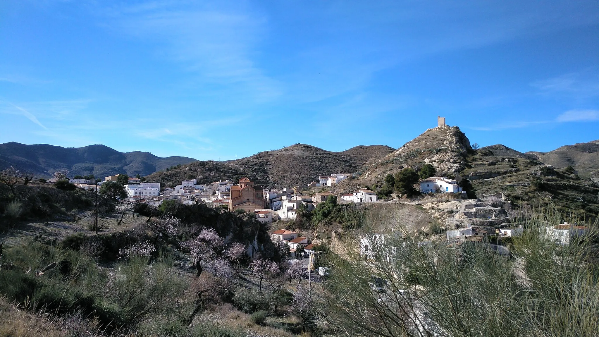
LubrínVillageLubrín, situated at the 47-kilometer mark, is a charming village known for its whitewashed houses and narrow streets.
71 km
71 km
Cuevas de SorbasAttractionLocated at 71 kilometers, the Cuevas de Sorbas are a series of impressive caves formed from ancient underground rivers.
90 km
90 km
Uleila del CampoVillageAt the 90-kilometer point, you will reach Uleila del Campo, a town renowned for its traditional Spanish architecture and rich culture.
108 km
108 km
BenitaglaVillageBenitagla, located at 108 kilometers, provides a glimpse into the area's Moorish history with its ancient fortress ruins.
132 km
132 km
Olula del RíoVillageOlula del Río, located at 132 kilometers, offers scenic views and is known for its traditional pottery workshops.
135 km
135 km
Finish: Fines Village centerFines: Exploring the rural landscapes of Fines and enjoying peaceful rides.
Cycling routes from Fines:
Fines Loop via Albox and Arboleas Fines Gravel Loop via Olula del Río and Tíjola Fines Loop via Partaloa, Oria, and El Roquez Fines Loop via Arboleas, Vera, and Mirador de Cerro Espíritu Santo Mountain Challenge: Lubrín and Beyond Cerro de Doña Paca Challenge Historical Journey: Albox and Beyond Fines Gravel Loop via Cerro de Doña Paca Rural Gem: Partaloa and More Almanzora Valley Gravel Adventure The Alhabia Circuit
Cycling routes nearby: