Exploring the Sierra Nevada Foothills
A gravel cycling route starting from Lanjaron
Challenging gravel ride through picturesque foothills
Map
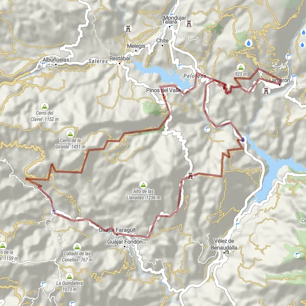
Embark on a challenging gravel ride through the picturesque foothills of the Sierra Nevada mountains. With a total ascent of 2431 meters over 67 kilometers, this route caters to experienced cyclists seeking thrilling climbs and rewarding vistas. Encounter highlights such as Acebuches, a scenic village surrounded by olive groves, Castillo "Venta la Cebada" showcasing its historical significance, and the rugged Cerro del Fuerte. Marvel at the expansive views from Cerro de los Jarales, immerse yourself in the natural beauty at Pinos del Valle, and enjoy the breathtaking panoramas from the Mirador Cañona. Set off from Lanjarón and embrace the challenges and charm of the Sierra Nevada foothills.
gravel
67 km
2431 m
Tough
Route profile
Highlights on the route
0 km
0 km
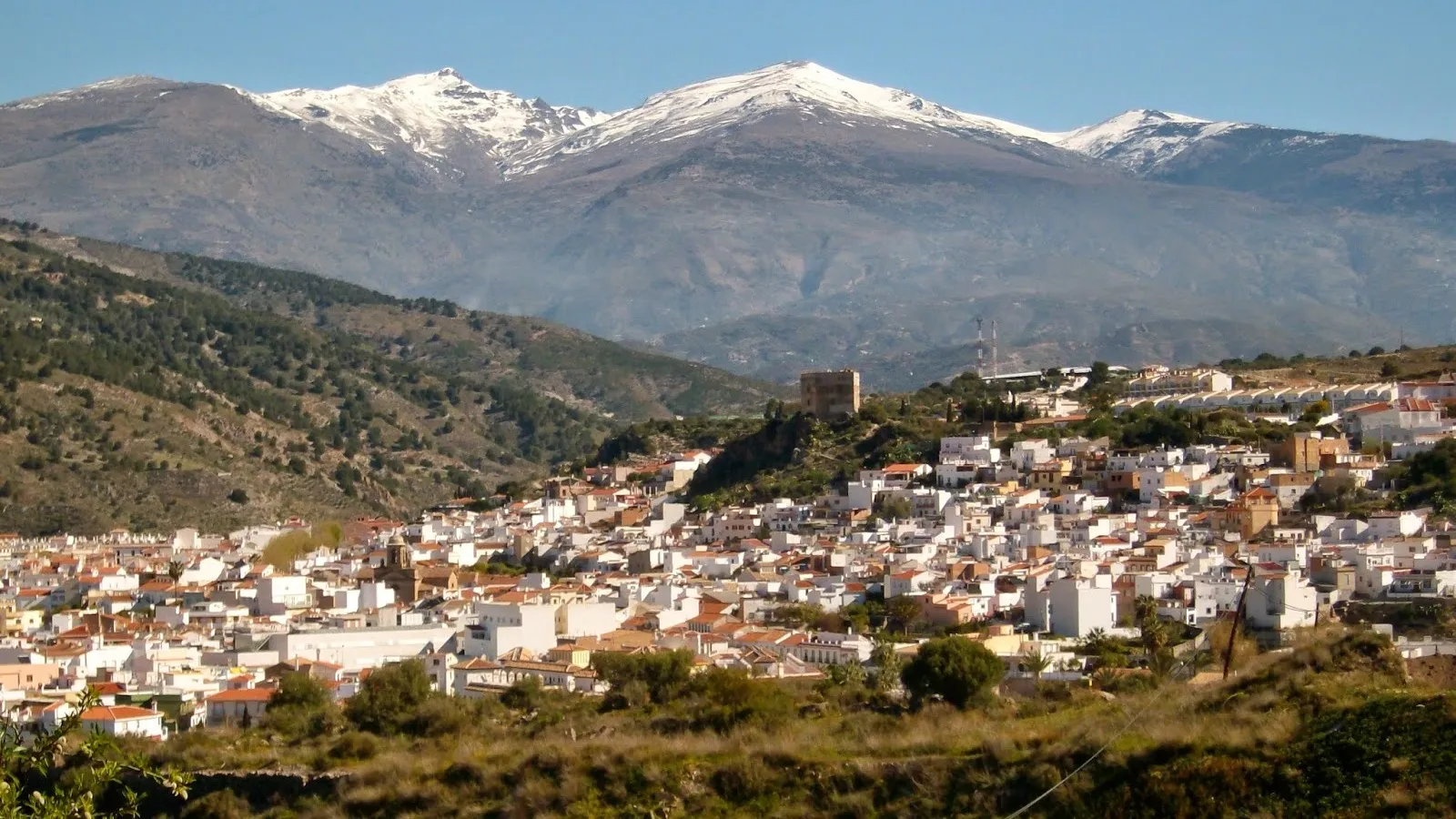
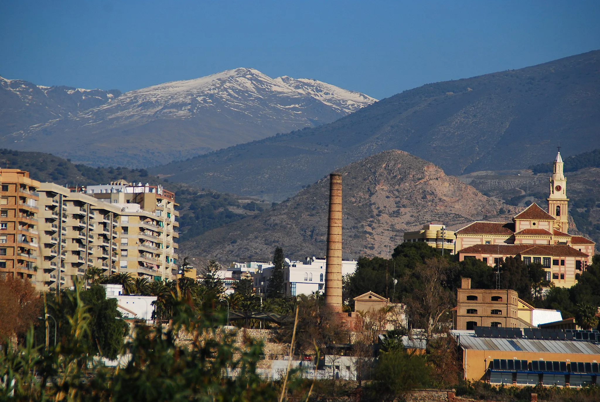
Start: Lanjarón Village centerLanjarón: Conquer epic mountain climbs and indulge in relaxation in Lanjarón.
Lanjarón, located in Andalucía, Spain, is surrounded by stunning mountainous landscapes that attract cyclists from around the world. The area offers a mix of challenging climbs and scenic roads for cyclists to explore. One well-known climb nearby is the Veleta Pass, which reaches an elevation of over 3,000 meters and provides breathtaking views of the Sierra Nevada mountains. Lanjarón itself is a charming town famous for its natural springs and spa resorts, offering a relaxing experience for cyclists after a demanding ride. Overall, Lanjarón is a must-visit locality for cyclists seeking epic mountain rides.3 km
3 km
Cerro de los Cañones791 mPeakCerro de los Cañones offers panoramic vistas of the stunning surrounding landscapes.
13 km
13 km
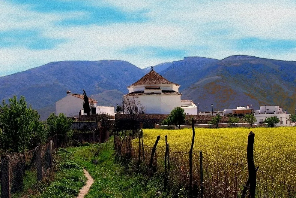
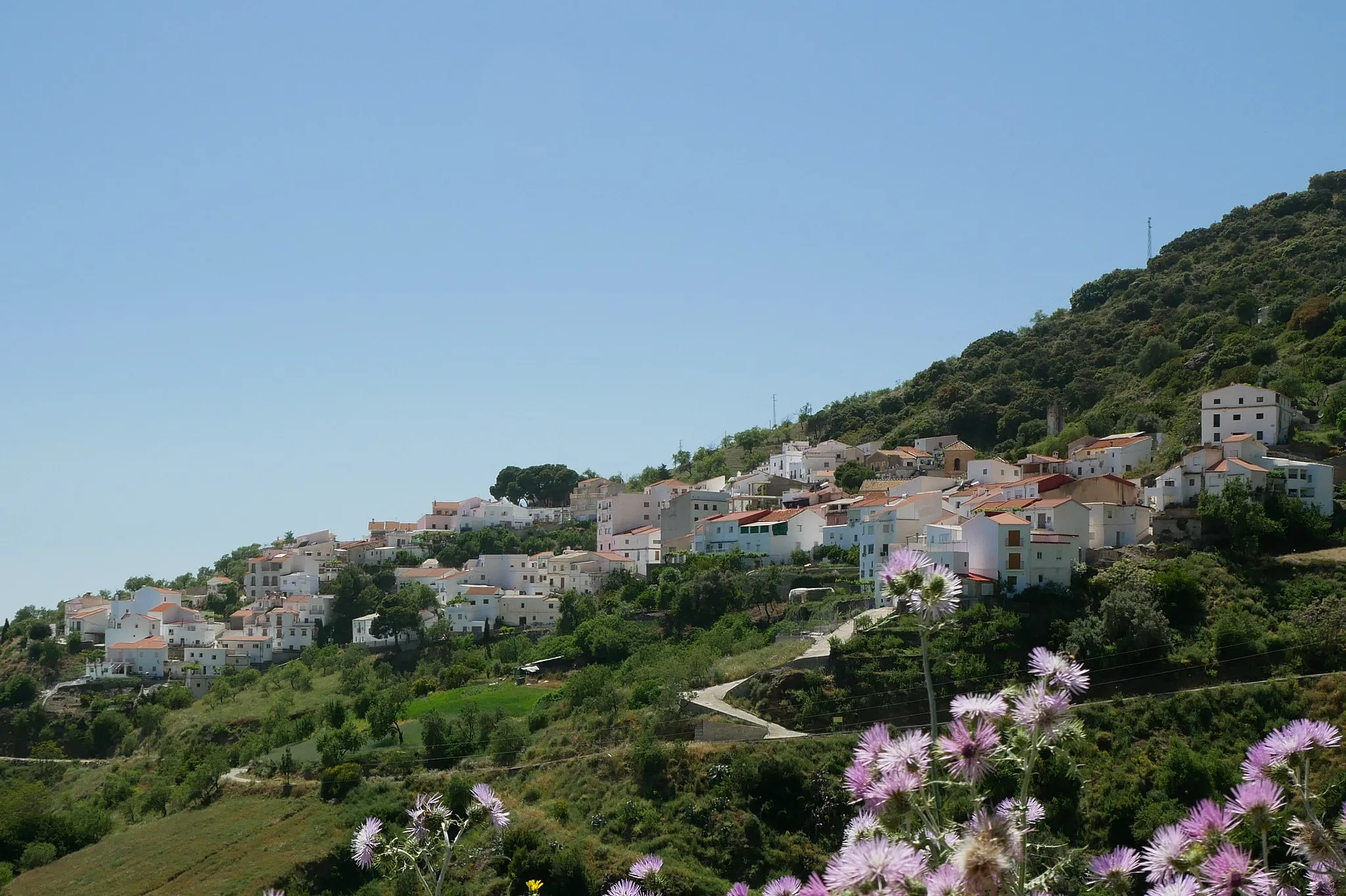
AcebuchesHamletAcebuches charms with its olive groves, rural ambiance, and picturesque streets.
21 km
21 km
Castillo "Venta la Cebada"CastleExplore the historical significance of Castillo "Venta la Cebada" along the route.
38 km
38 km
Cerro del Fuerte1044 mPeakCerro del Fuerte stands tall as a challenging ascent and rewards riders with breathtaking views.
45 km
45 km
Cerro de los Jarales1194 mPeakImmerse yourself in nature's beauty at Cerro de los Jarales, offering serenity and scenic vistas.
55 km
55 km
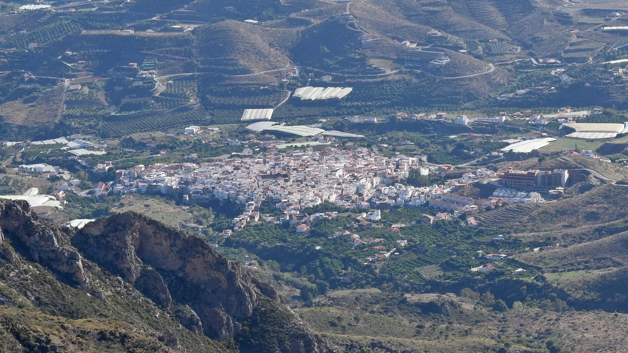
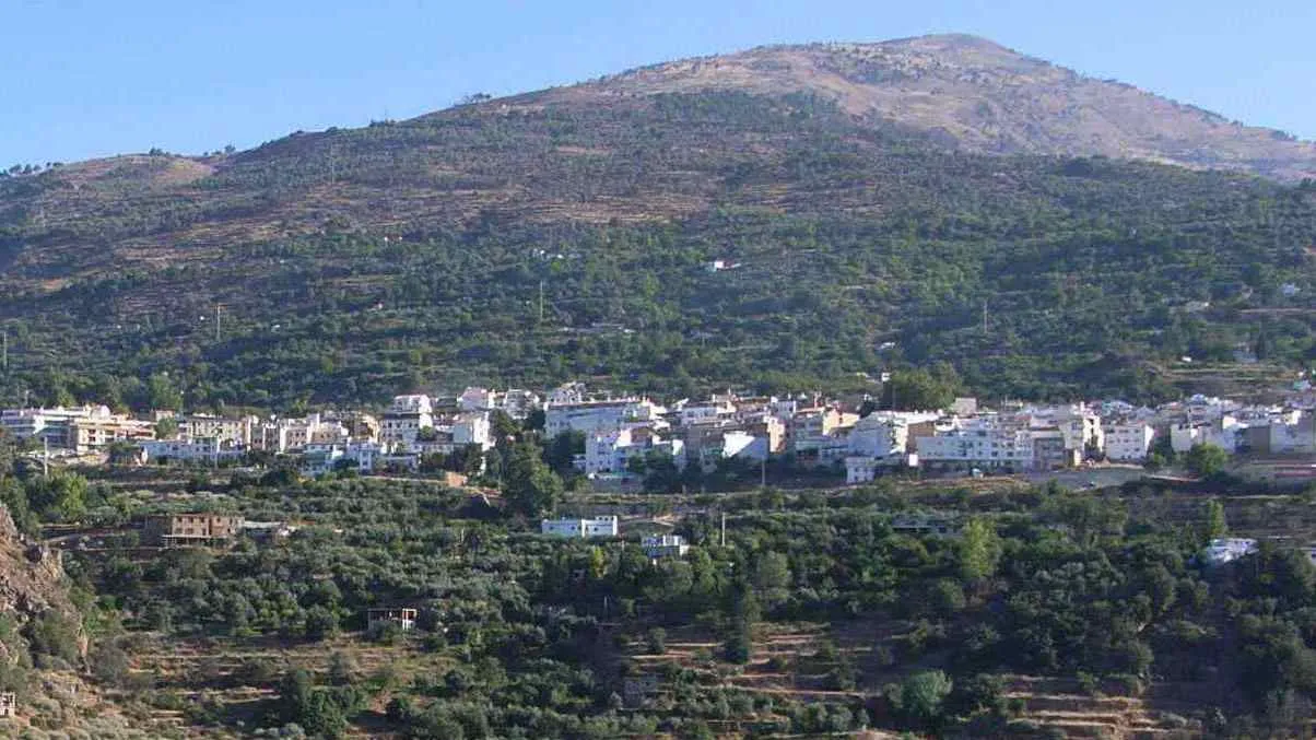
Pinos del ValleVillagePinos del Valle presents a tranquil setting amidst pine forests, capturing the essence of the region.
65 km
65 km
Mirador CañonaViewpointMirador Cañona treats cyclists to awe-inspiring panoramas over the foothills and surrounding countryside.
67 km
67 km
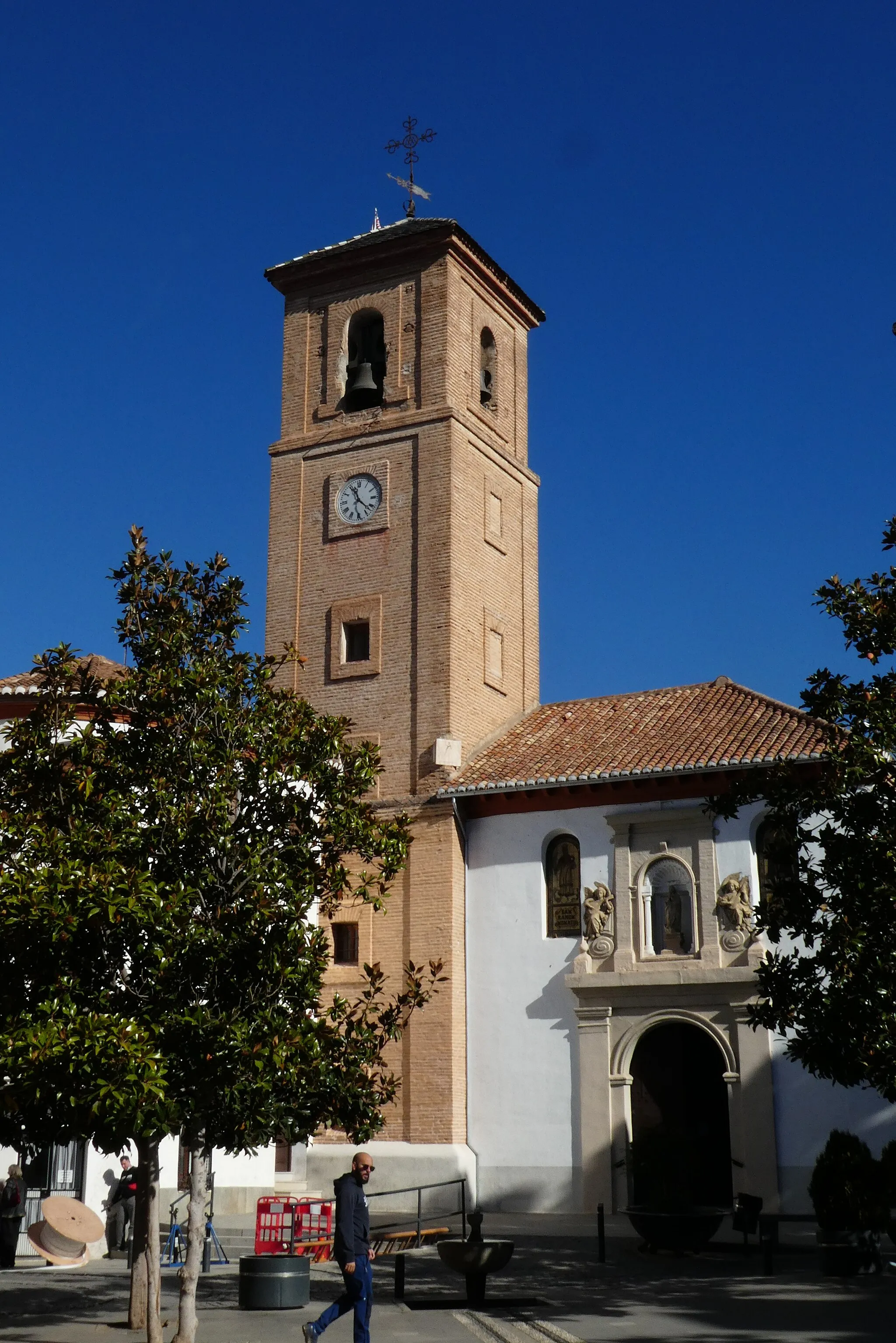
LanjarónVillageLanjarón, renowned for its therapeutic water sources, serves as an excellent starting point for this challenging gravel ride.
67 km
67 km
Finish: Lanjarón Village centerLanjarón: Conquer epic mountain climbs and indulge in relaxation in Lanjarón.
Cycling routes nearby: