Scenic roads and challenging climbs in the mountains.
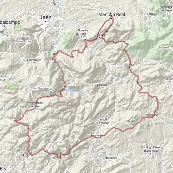
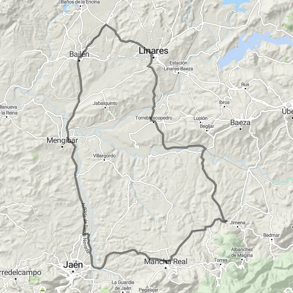
Cycling routes from Mancha Real
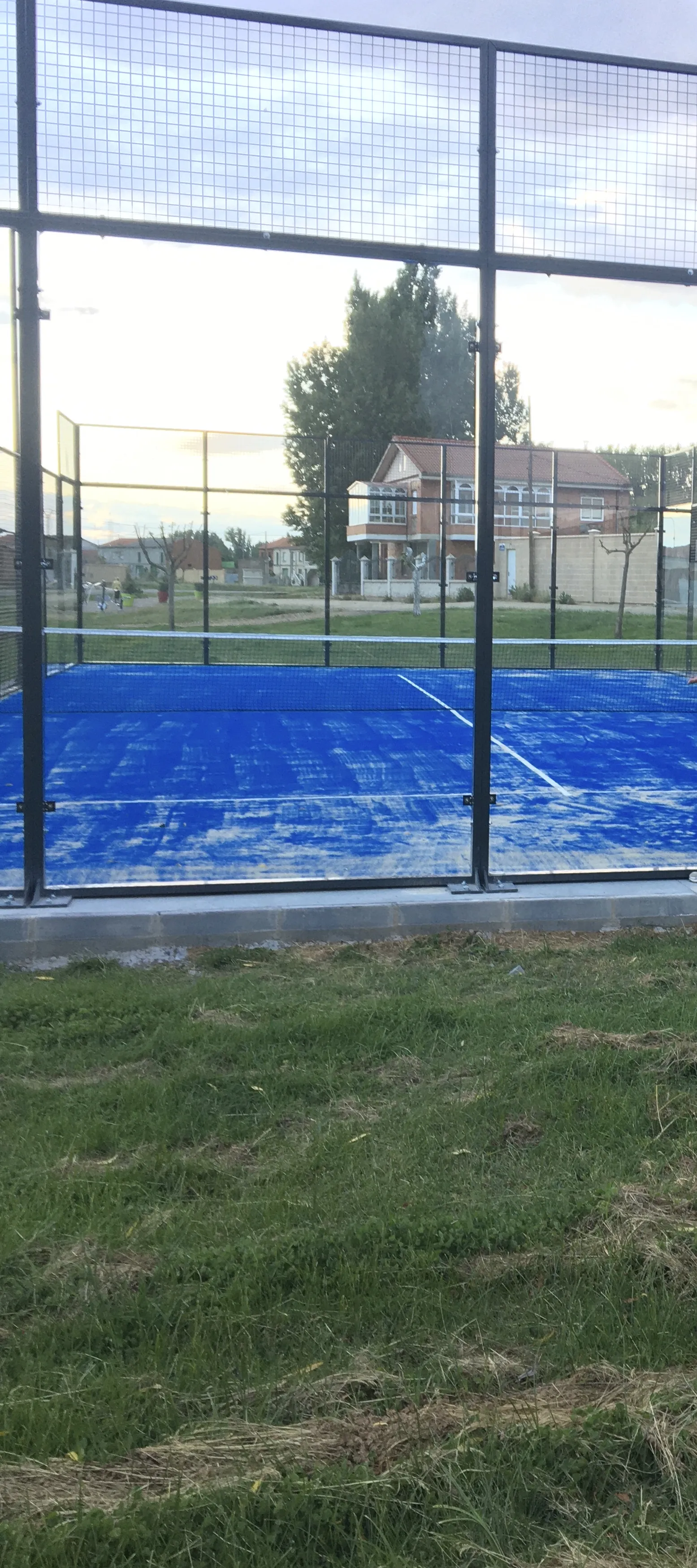
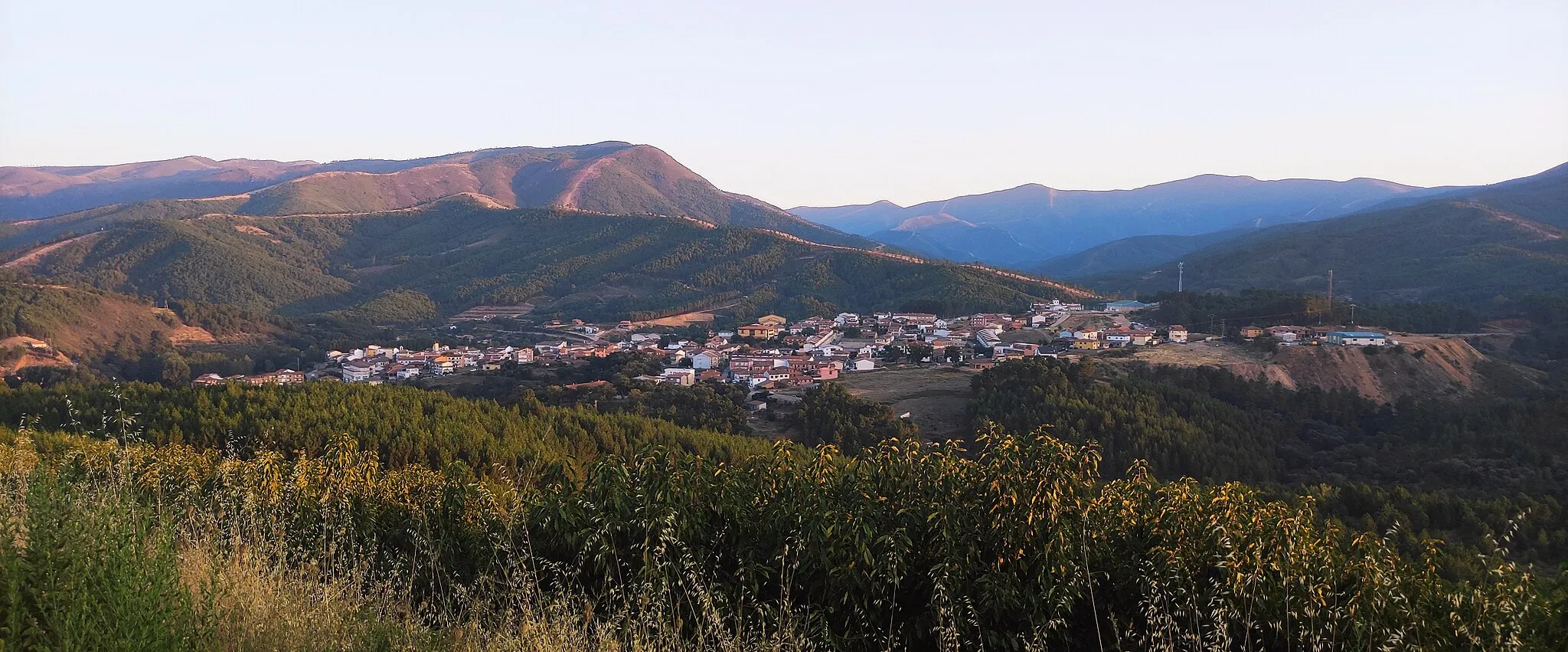
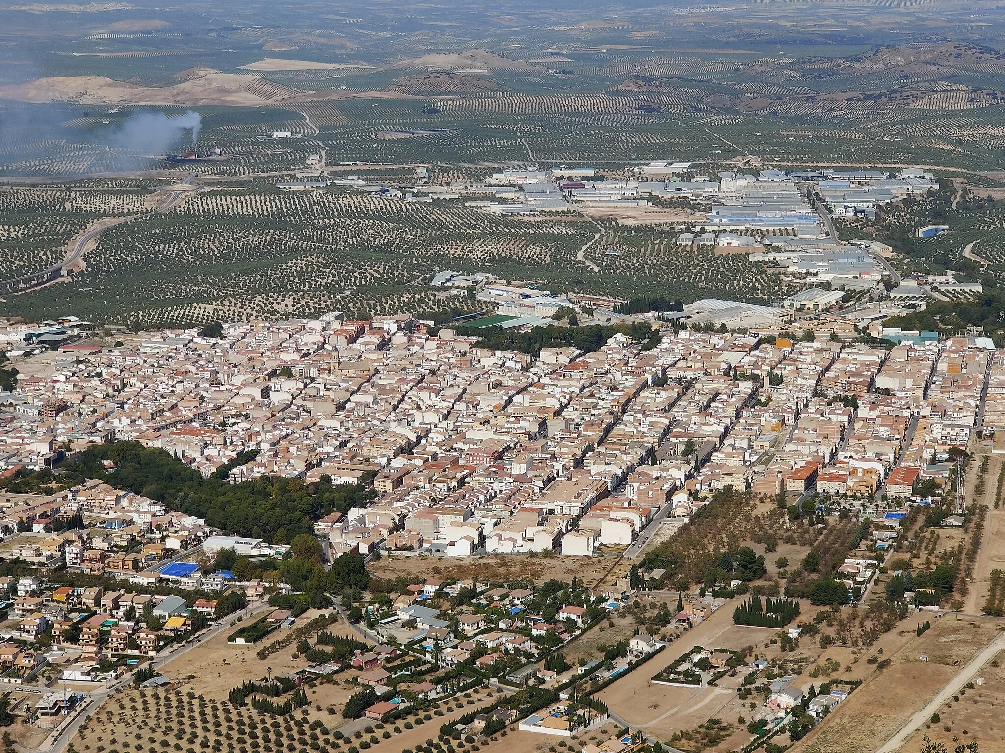
Mancha Real is a small locality located in Andalucía, Spain. From a cyclist's perspective, it offers diverse terrain with quiet and scenic roads perfect for road cycling. The area surrounding Mancha Real provides stunning views of the Sierra de Cazorla mountains. A well-known cycling spot nearby is Puerto de Mágina, a challenging climb that attracts many road cyclists.
Gravel Adventure in Mancha Real
An exciting off-road cycling experience near Mancha Real
Embark on an unforgettable gravel adventure near Mancha Real in Andalucía, Spain. This round-trip cycling route offers a challenging ascent of 4,323 meters over a distance of 156 kilometers. Prepare yourself for stunning landscapes, diverse terrain, and unique highlights along the way.
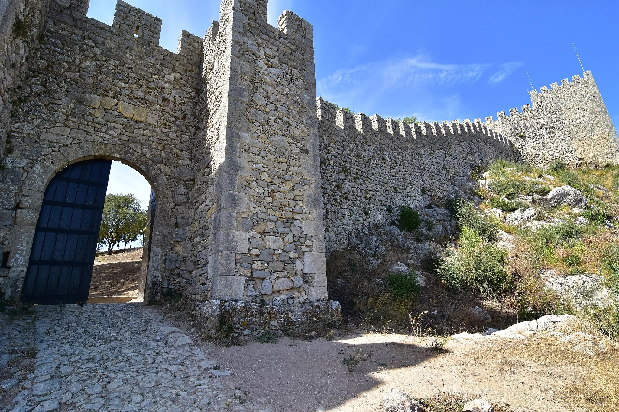
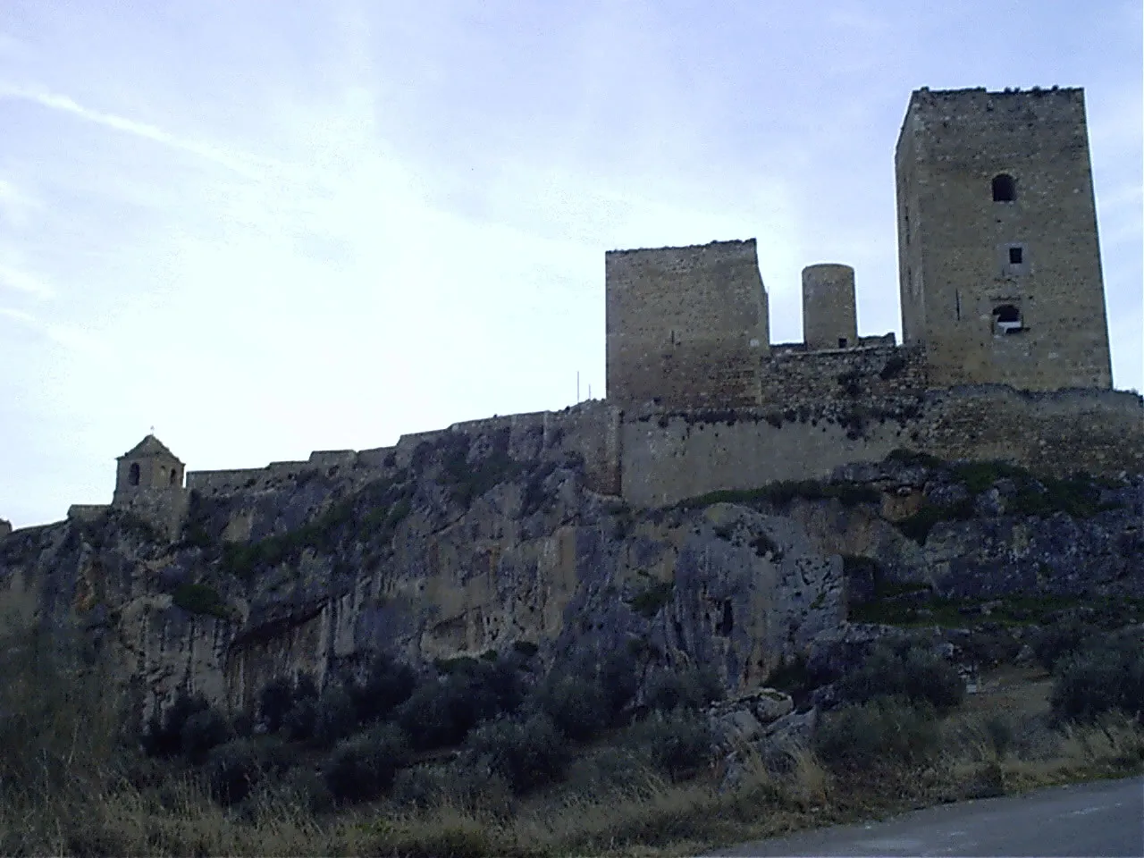
Experience the scenic beauty of Castillo de Bedmar on this road cycling route
This road cycling route near Mancha Real is a must-do for all cycling enthusiasts. With a total distance of 70 kilometers and an ascent of 1,541 meters, it offers a challenging yet rewarding experience. The highlight of this route is the picturesque Castillo de Bedmar, located 29 kilometers into the route. Admire the majestic castle and take in the stunning views of the surrounding countryside. Overall, this route combines physical exertion with cultural and natural beauty, making it a memorable cycling adventure.
Embark on a gravel bike adventure through the picturesque olive groves around Mancha Real.
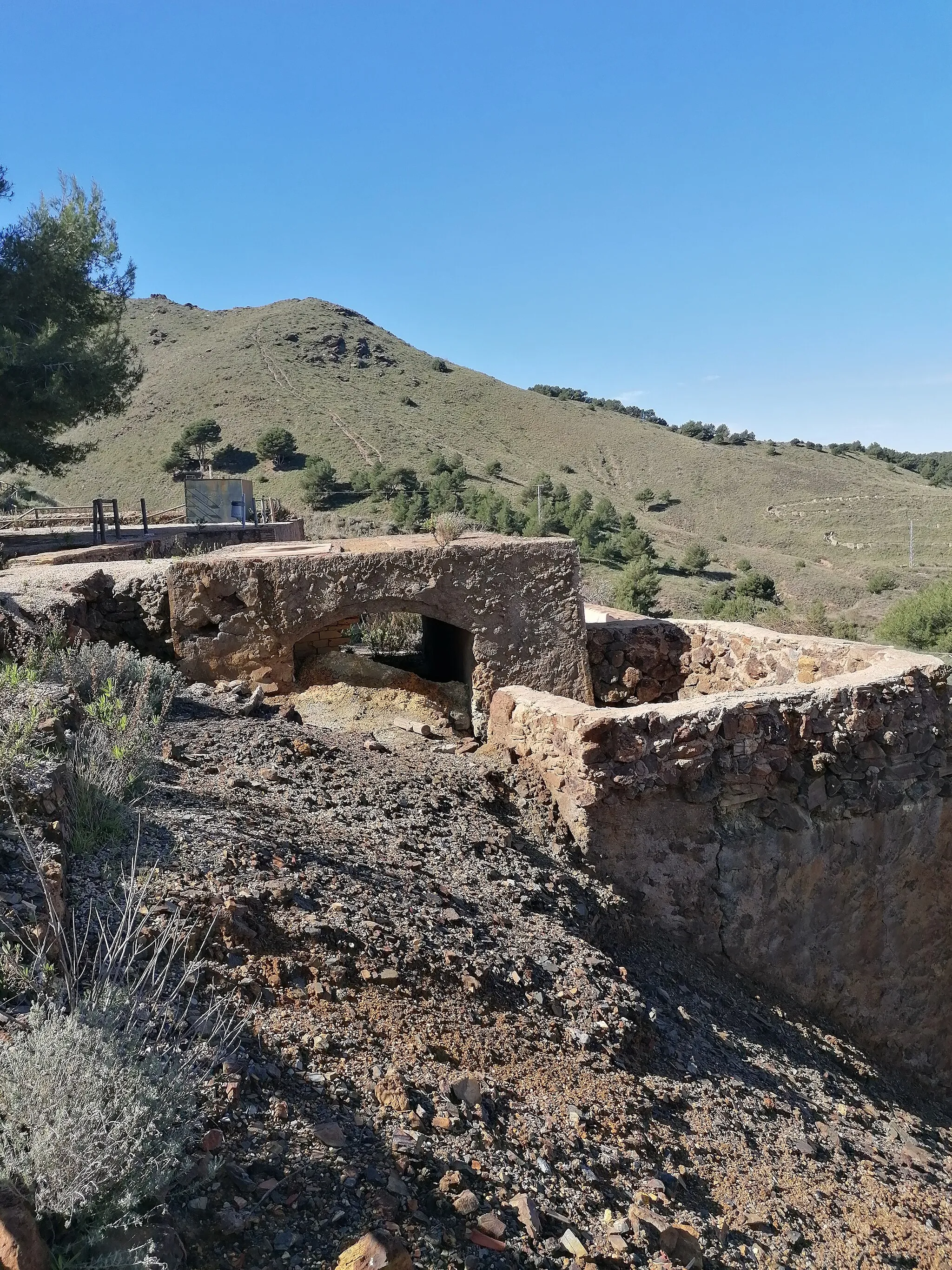
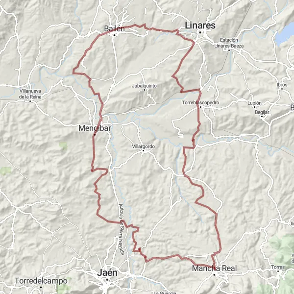
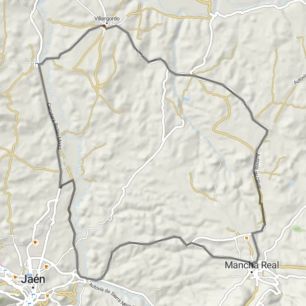
Saddle up for a thrilling gravel biking journey amidst the breathtaking olive groves near Mancha Real. This challenging route covers 126 kilometers, with a grueling ascent of 1541 meters, ensuring an adrenaline-filled ride. Delve into the heart of nature as you soak in the panoramic views and feel the invigoration of riding on unpaved terrain. With highlights including Puente Tablas and Torreblascopedro, this route promises a memorable experience tailored for gravel enthusiasts.
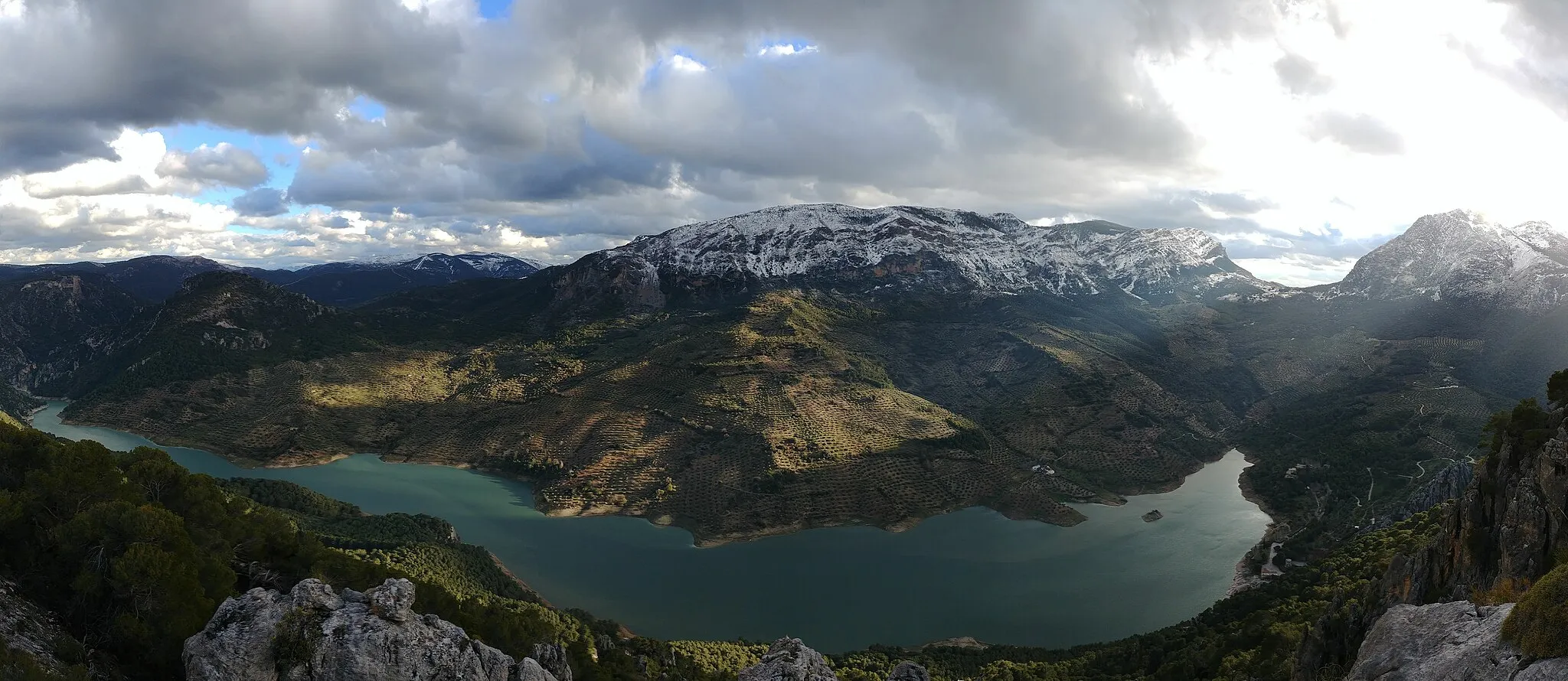
Embark on an epic gravel adventure among the high mountains of Andalusia.
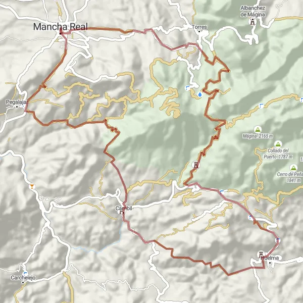
Challenge your limits with a thrilling gravel cycling exploration among the high mountains of Andalusia. This epic route covers a total distance of 78 kilometers, ascending 2457 meters in the process. Get ready to conquer legendary climbs and experience the breathtaking beauty of the region. From stunning castles like Mata Bejid and Los Duques de Alburquerque to the rustic charm of Cambil and the Peña del Águila in Mancha Real, this route promises a once-in-a-lifetime gravel adventure for avid off-road enthusiasts.
Cycling through Peña del Águila and Balneario de Jabalcuz
Discover the beauty of Mancha Real, Peña del Águila, and Puente Tablas with this 65 km gravel route. With a total ascent of 1,765 meters, this route offers scenic views and a moderate level of difficulty suitable for intermediate cyclists. Immerse yourself in the natural wonders of Balneario de Jabalcuz and Peña del Águila while exploring this picturesque section of Andalucía.
Jaén Hills Road Cycling
Cycle through the beautiful hills near Jaén
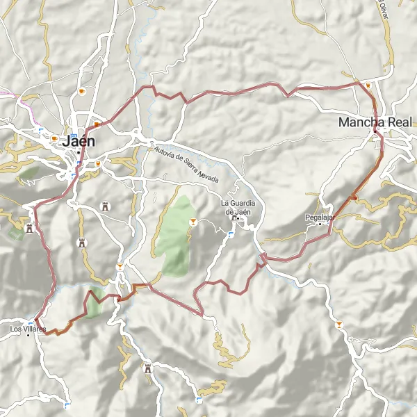
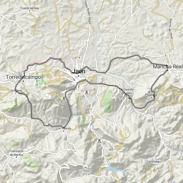
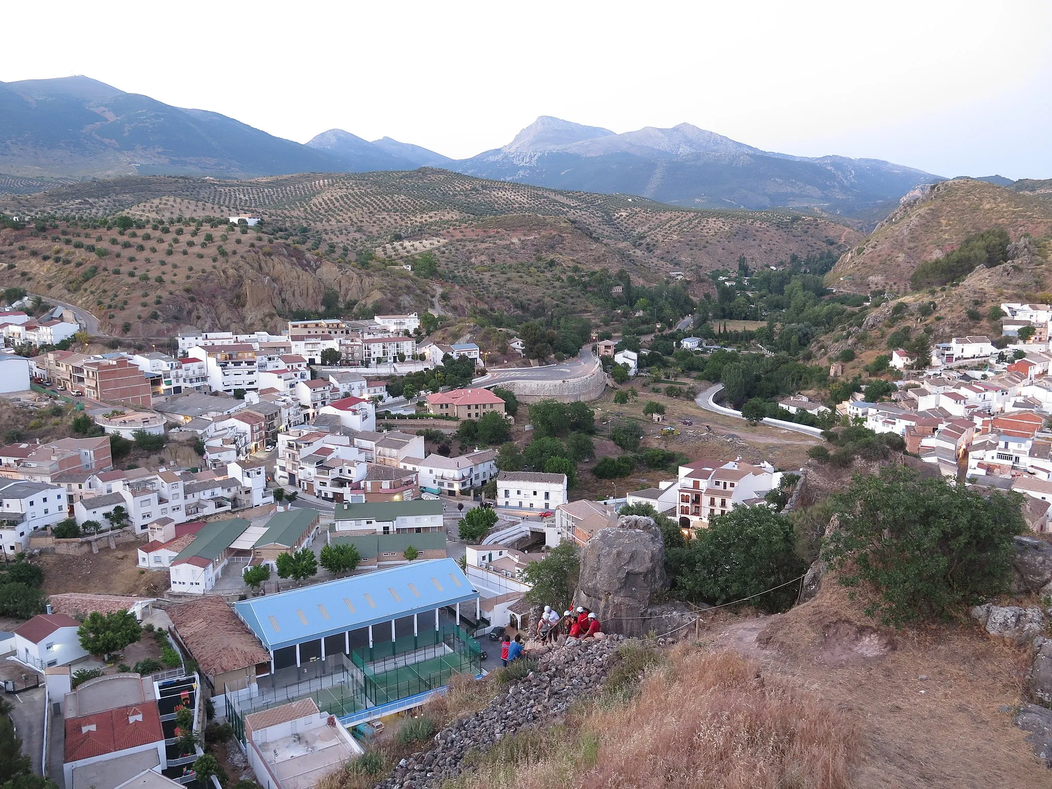
This road cycling route in the hills near Jaén offers a challenging yet rewarding experience for cyclists. With a total distance of 85 kilometers and an ascent of 1711 meters, it is suitable for very well-trained amateurs. The route starts near Mancha Real and passes through La Guardia de Jaén, Mirador del Castillo, Cerro de las Canteras, Balneario de Jabalcuz, Torredelcampo, Jaén, and Cerro de Muteros.
Andalusian Delights
Discover the hidden gems of Andalusia on this captivating road cycling tour.
Indulge in the authentic flavors of Andalusia as you embark on a mesmerizing road cycling journey. With a distance of 119 kilometers and an ascent of 1418 meters, this route offers a delightful mix of challenging climbs and breathtaking descents. Uncover the lesser-known treasures of the region as you pedal through enchanting villages and enjoy panoramic vistas of the surrounding landscapes.
Short and Sweet Road Adventure
Embark on a picturesque road adventure perfect for a quick cycling getaway.
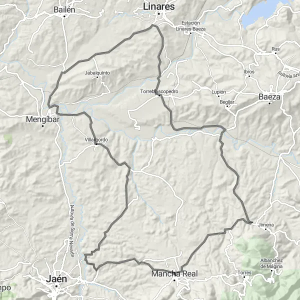
Enjoy a delightful road cycling adventure amidst enchanting landscapes and captivating villages. With a distance of 64 kilometers and an ascent of 768 meters, this route offers a challenging yet accessible experience for cyclists of varying skill levels. Admire the panoramic views from Cerro de la Medianoche and explore the historical wonder of Villargordo. As the journey culminates in Torrequebradilla, savor the countryside charm and soak in the tranquil ambiance.
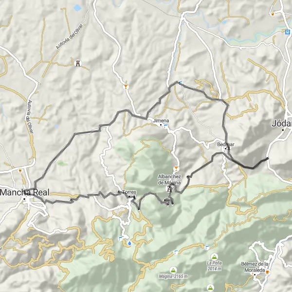
Cycling through Jimena, Bedmar, Jódar, and Aguade
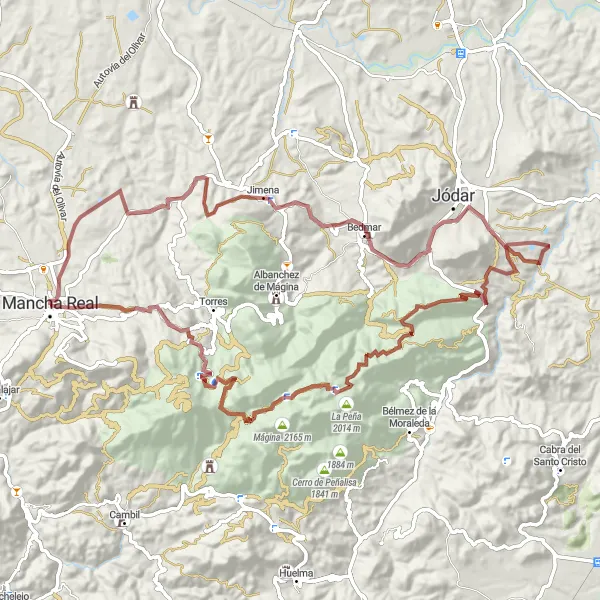
This 99 km gravel route takes you on a scenic journey through the towns of Jimena, Bedmar, Jódar, and Aguade. With a total ascent of 2,534 meters, this challenging ride offers breathtaking views and diverse landscapes. The route features gravel roads that are suitable for off-road cycling enthusiasts.
A thrilling road bike route with a vertiginous climb up Cerro de la Medianoche.
Embark on an unforgettable cycling adventure through scenic landscapes, villages, and historical landmarks. This route offers a challenging ascent up Cerro de la Medianoche, providing a thrilling experience for experienced cyclists. With a total distance of 126 kilometers and an ascent of 1335 meters, this route is suited for well-trained amateurs and promises to deliver outstanding panoramic views throughout.
Cycling routes nearby:


Nearby regions: