Mountain Adventure
A gravel cycling route starting from Monachil
Embark on a mountainous adventure with this gravel cycling route
Map
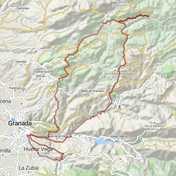
Discover the rugged beauty of the mountains near Monachil with this gravel cycling route. The route takes you through challenging ascents and thrilling descents, offering spectacular views along the way. With over 2000 meters of ascent, this route is perfect for cyclists seeking an adventurous and scenic ride. Take in the untouched natural landscapes as you pedal through the stunning countryside.
gravel
93 km
2297 m
Tough
Route profile
Highlights on the route
0 km
0 km
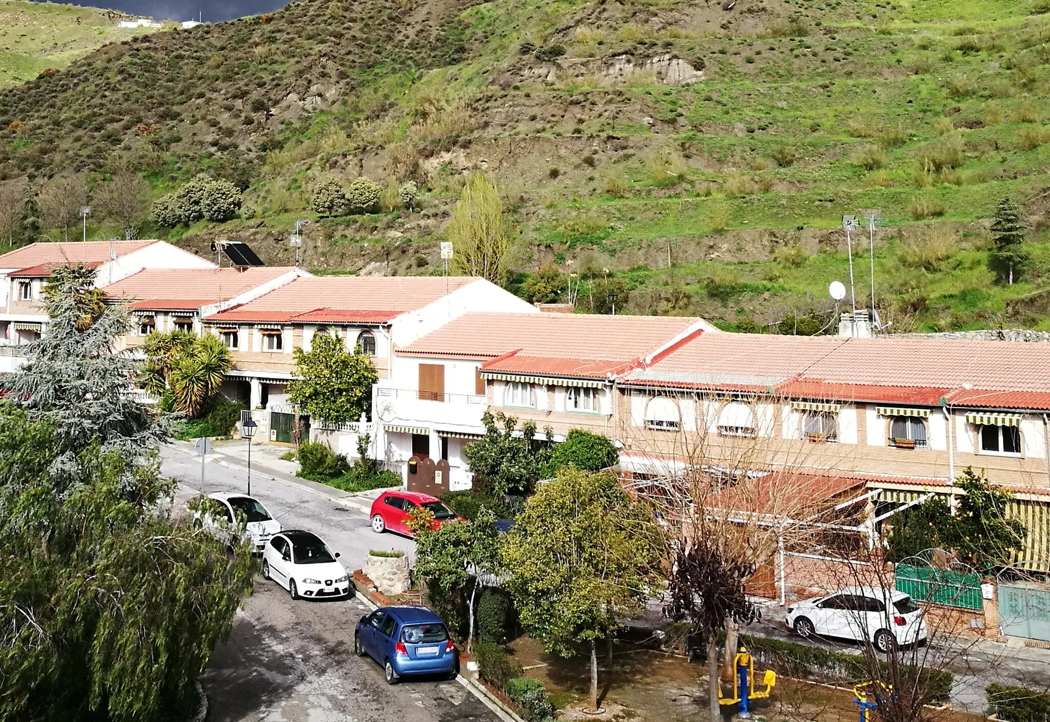
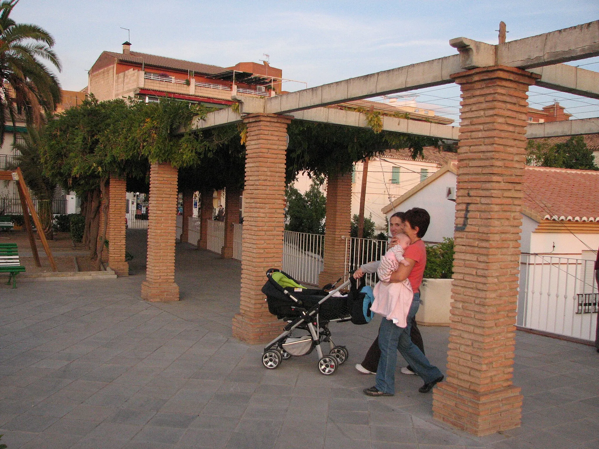
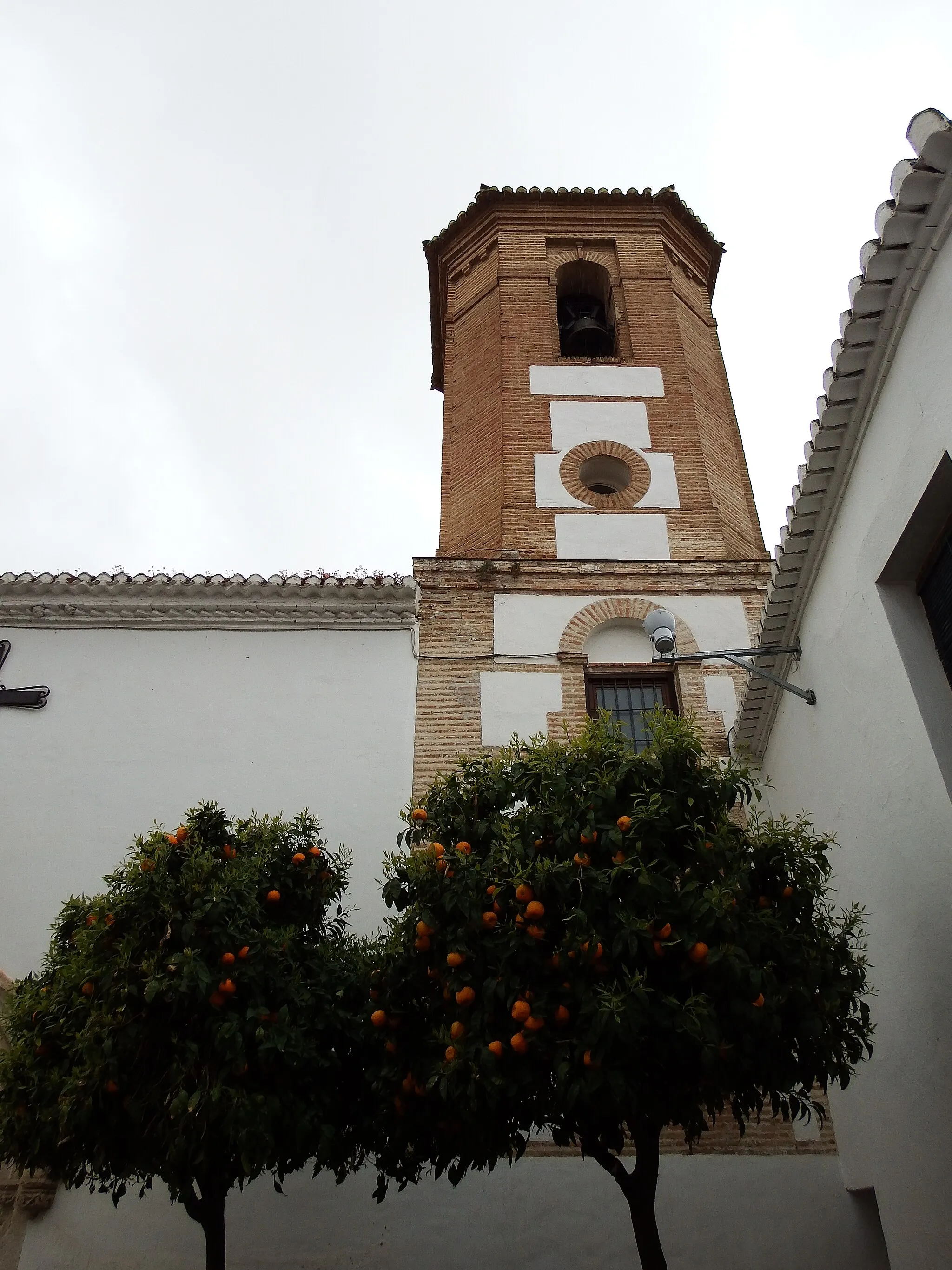
Start: Monachil Village centerMonachil: Epic Mountainous Terrain in Monachil
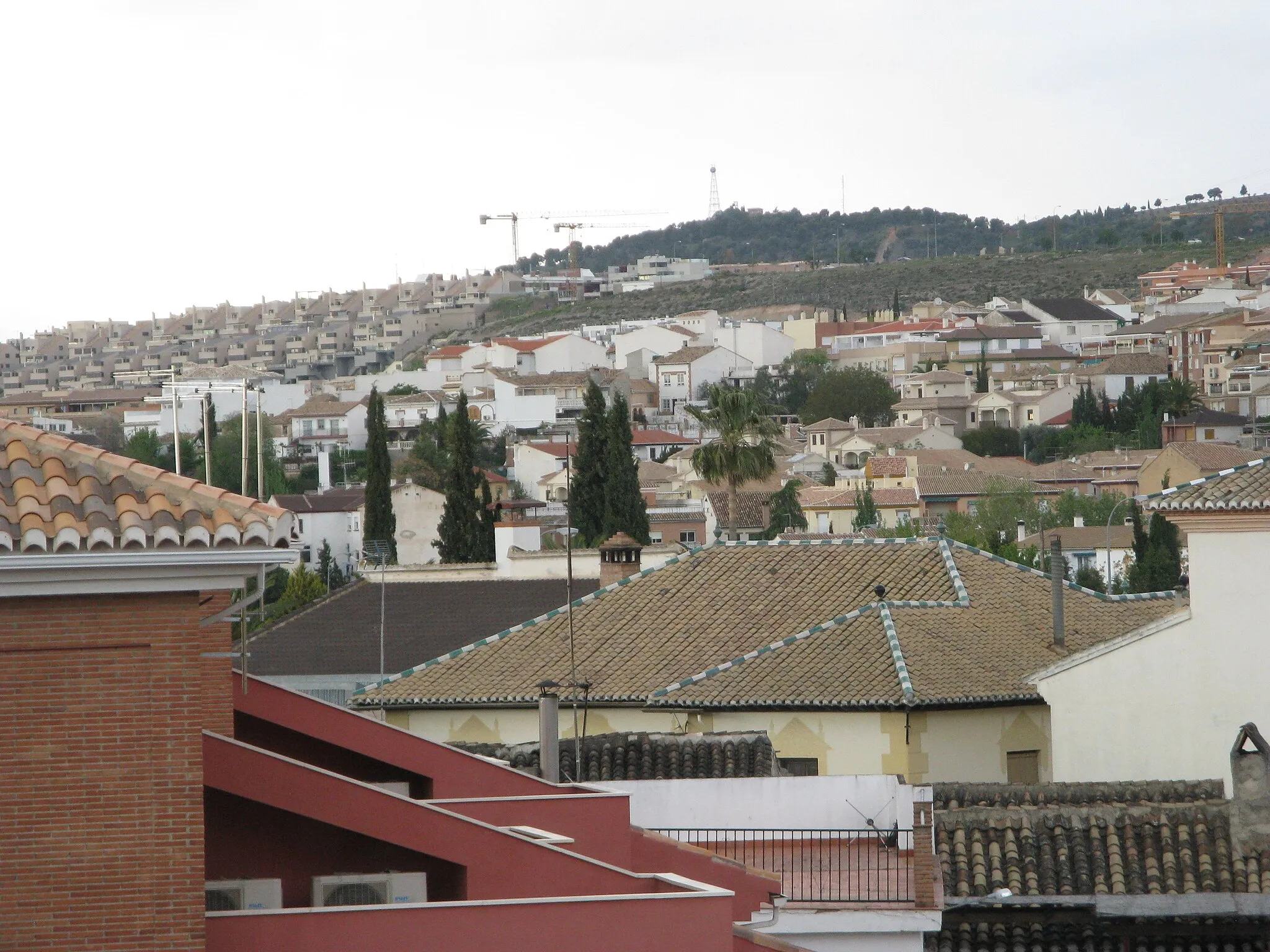
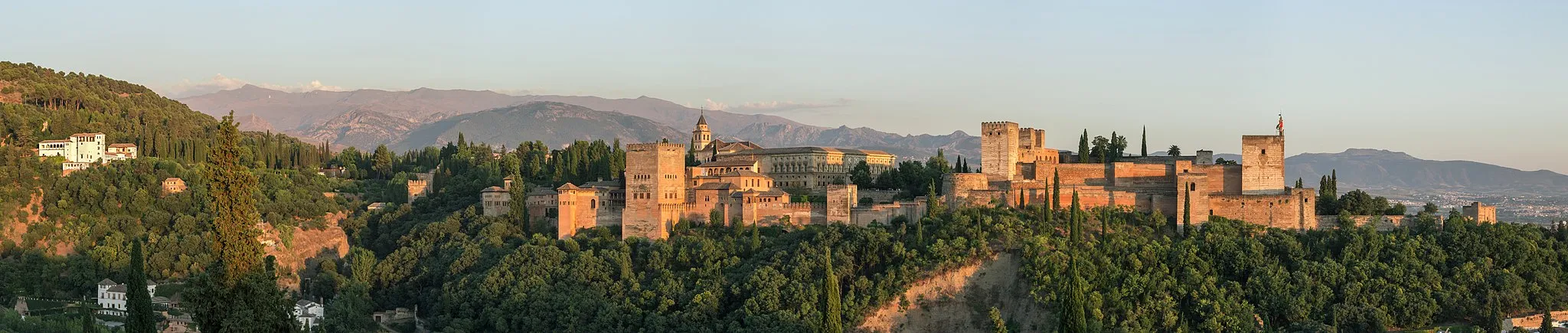
Monachil, located in Andalucía, Spain, is a fantastic destination for both road and gravel cyclists. The locality is surrounded by breathtaking mountains, offering cyclists the opportunity to conquer challenging climbs and enjoy stunning views. Monachil is home to the famous cycling route known as Los Cahorros, which features suspension bridges and narrow paths through spectacular rock formations. With its impressive cycling infrastructure, Monachil attracts cyclists from around the world. Cyclists will encounter various difficulty levels, ensuring that everyone can find a suitable challenge. Monachil is without a doubt, a top choice for cyclists seeking thrilling rides and epic climbs.10 km
10 km
Lancha del GenilVillageLocated at 10 km on the route, Lancha del Genil offers stunning views of the surrounding valley and river
13 km
13 km
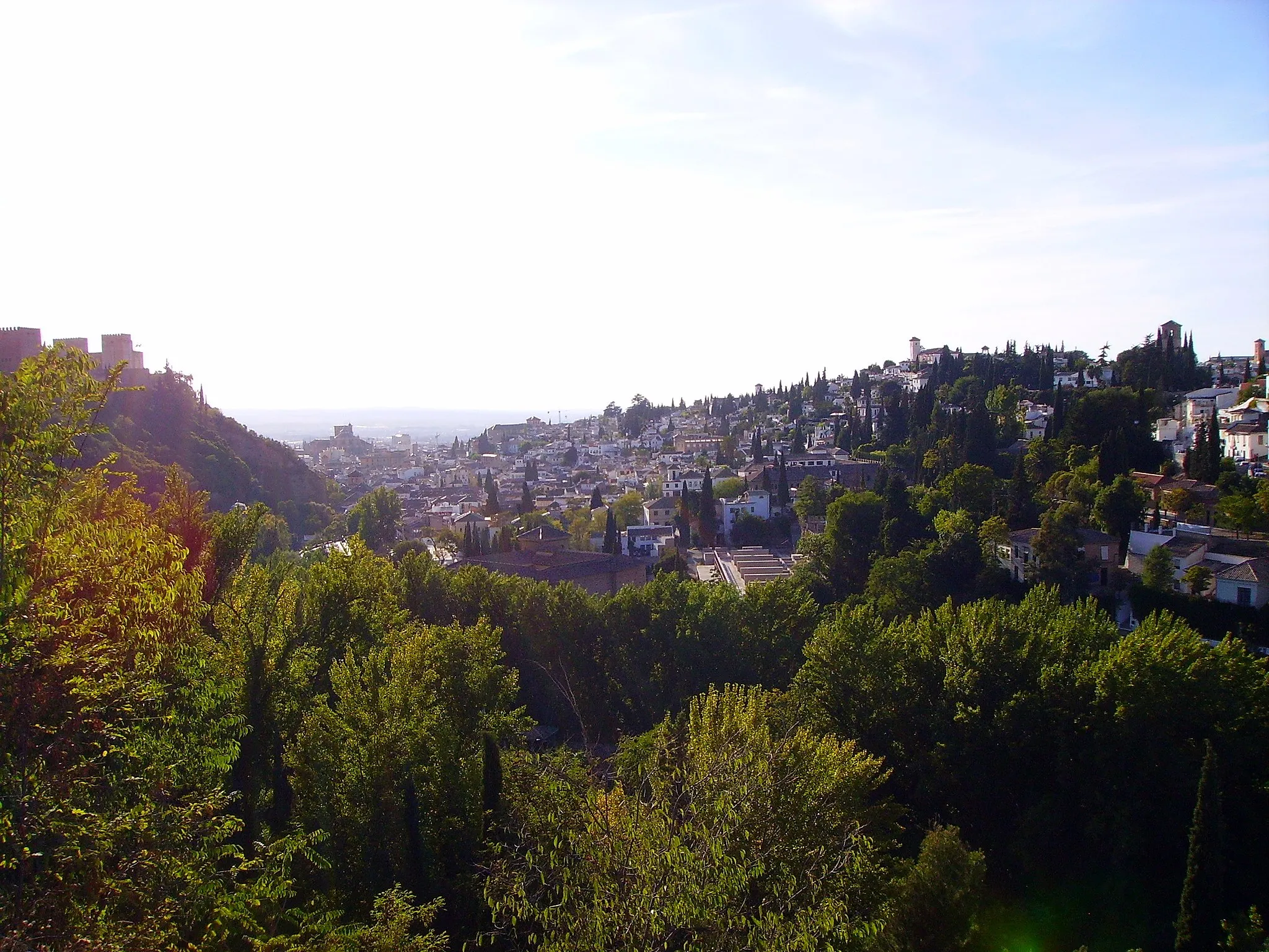
Cerro del solViewpointAt 13 km, Cerro del Sol provides panoramic views of the entire region, including the Sierra Nevada mountain range
27 km
27 km
Cerro de las Calaveras1586 mPeakCerro de las Calaveras, at 27 km, is a challenging climb rewarded with stunning views
61 km
61 km
Collado del Muchacho1508 mMountain PassLocated at 61 km, Collado del Muchacho rewards cyclists with its remote and untouched natural landscapes
72 km
72 km
Alto del Plantío1017 mPeakAt 72 km, Alto del Plantío provides a challenging climb through scenic mountainous terrain
79 km
79 km
Cenes de la VegaVillageCenes de la Vega, located at 79 km, offers panoramic views of the surrounding valleys
89 km
89 km
Cerro de Loma Redonda1122 mPeakCerro de Loma Redonda, located at 89 km, rewards cyclists with stunning views of the countryside
93 km
93 km
Finish: Monachil Village centerMonachil: Epic Mountainous Terrain in Monachil
Cycling routes from Monachil:
Valley Explorations Road Cycling Route: Monachil to Granada Valleys and Mountains Monachil to Peñón del Grajo Loop Challenging Road Cycling Route: Monachil to Canales Mountain Adventure The Gravel Challenge Remote Road Cycling Route: Monachil to Íllora Scenic Road Cycling Route: Monachil to La Zubia Gravel Cycling Route: Monachil to Albolote Monachil Climbs and Breath-taking Views
Cycling routes nearby: