Gravel Adventure in Granada
A gravel cycling route starting from Ogijares
Experience the thrill of gravel cycling in Granada
Map
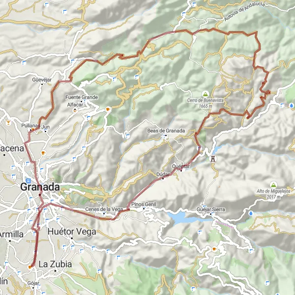
Embark on a gravel cycling adventure in Granada and discover the exhilarating beauty of this region. This 86 km gravel route takes you through the heart of Granada, where you can admire its rich history and cultural heritage. Along the route, you'll conquer challenging climbs like Cerro de los Mártires, Cerro Nevado, and Alto del Plantío, for an epic cycling experience. With a difficulty level of 4, this route is perfect for experienced gravel enthusiasts seeking a memorable ride.
gravel
86 km
1574 m
Tough
Route profile
Highlights on the route
0 km
0 km
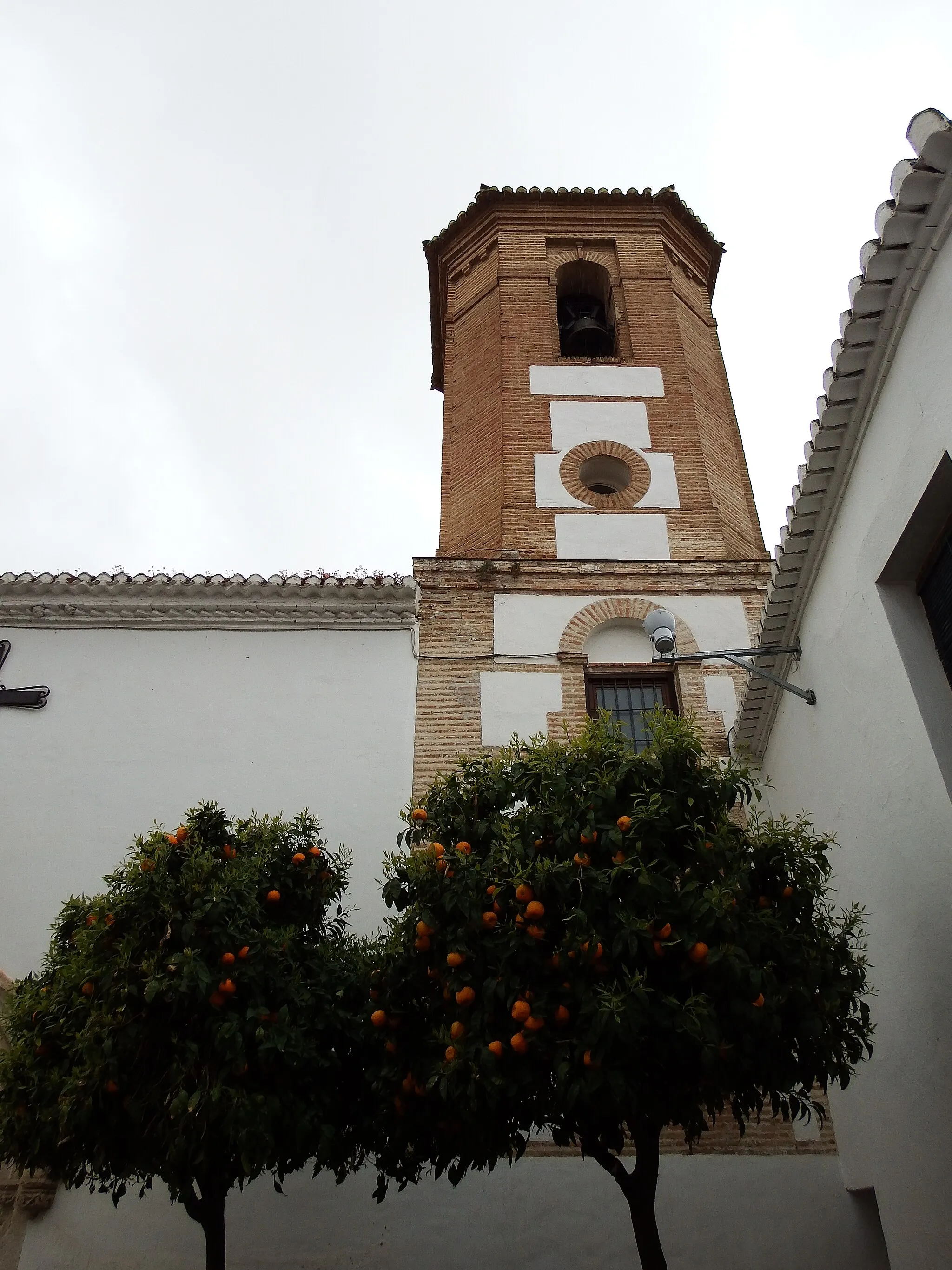
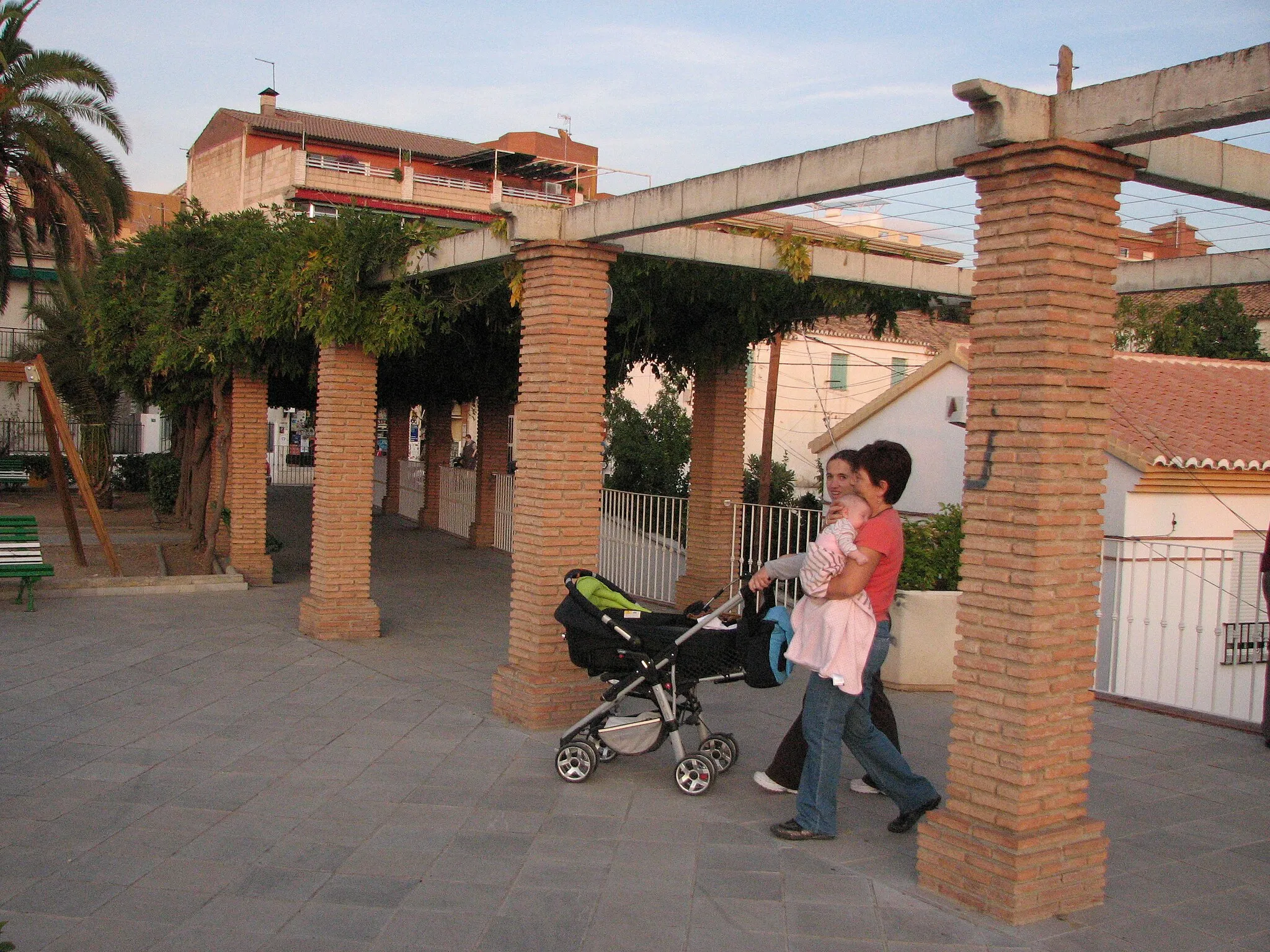
Start: Ogíjares City centerOgíjares: Discovering Countryside Charm in Ogíjares
Ogíjares, located in the Andalucía region of Spain, offers several cycling routes suitable for road and gravel cyclists. The locality is surrounded by rolling hills and countryside landscapes, making it an idyllic spot for outdoor enthusiasts. From Ogíjares, cyclists can embark on rides that lead to nearby towns and villages, soaking in the natural beauty of the region. While not known for any famous climbs, the relaxed atmosphere and scenic surroundings make Ogíjares an enjoyable destination for cyclists and tourists alike.7 km
7 km
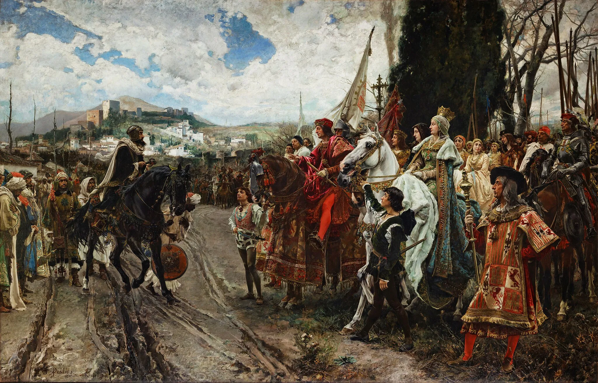
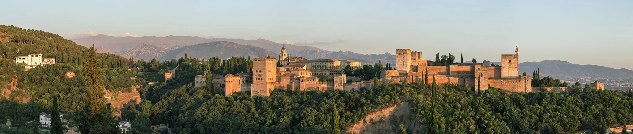
GranadaCityExplore the historic city of Granada and be amazed by its architectural wonders, including the stunning Alhambra.
15 km
15 km
Cerro de los Mártires821 mPeakConquer the challenging Cerro de los Mártires and enjoy panoramic views of Granada.
24 km
24 km
Cerro Nevado1275 mPeakClimb up Cerro Nevado and immerse yourself in the tranquility of its natural surroundings.
47 km
47 km
Cerro Tablas1511 mPeakTake on the demanding Cerro Tablas and experience the thrill of conquering difficult terrain.
67 km
67 km
Alto del Plantío1017 mPeakReach the summit of Alto del Plantío and enjoy breathtaking vistas of the surrounding countryside.
77 km
77 km
Cerro Culebra839 mPeakExperience the thrill of cycling up the challenging Cerro Culebra and challenge your gravel skills.
79 km
79 km
Fuente de la NinfaAttractionDiscover the enchanting Fuente de la Ninfa, a picturesque spot perfect for a rest and refreshment.
86 km
86 km
Finish: Ogíjares City centerOgíjares: Discovering Countryside Charm in Ogíjares
Cycling routes from Ogijares:
Cycling Adventure in Atarfe The Otura Challenge Scenic Gravel Tour of Ogíjares Gravel Exploration of Ogíjares and Peñuelas Gravel Adventure to Villa de Otura Puerto del Suspiro del Moro and Cerro Viñaero Loop Gravel Adventure in Granada A Loop through Hurpe and Granada Scenic Road Tour to Churriana de la Vega The Ultimate Granada Cycling Experience
Cycling routes nearby: