Gravel Adventure to Roc de Sant Cugat
A gravel cycling route starting from el Pont de Suert
Embark on a gravel adventure to Roc de Sant Cugat.
Map

This gravel cycling route takes you on an adventurous journey near el Pont de Suert. With a total ascent of 2591 meters and a distance of 93 kilometers, this route is suitable for well-trained amateur gravel cyclists. The highlight of this route is Roc de Sant Cugat, a unique rock formation offering impressive geological features. Other notable highlights along the way include Sopeira, Las Icnitas De Arén (Dinosaurs), Arén / Areny de Noguera, and Colle de Vent. This epic route is rated 3 in difficulty and 4 in epicness.
gravel
93 km
2591 m
Tough
Route profile
Highlights on the route
0 km
0 km
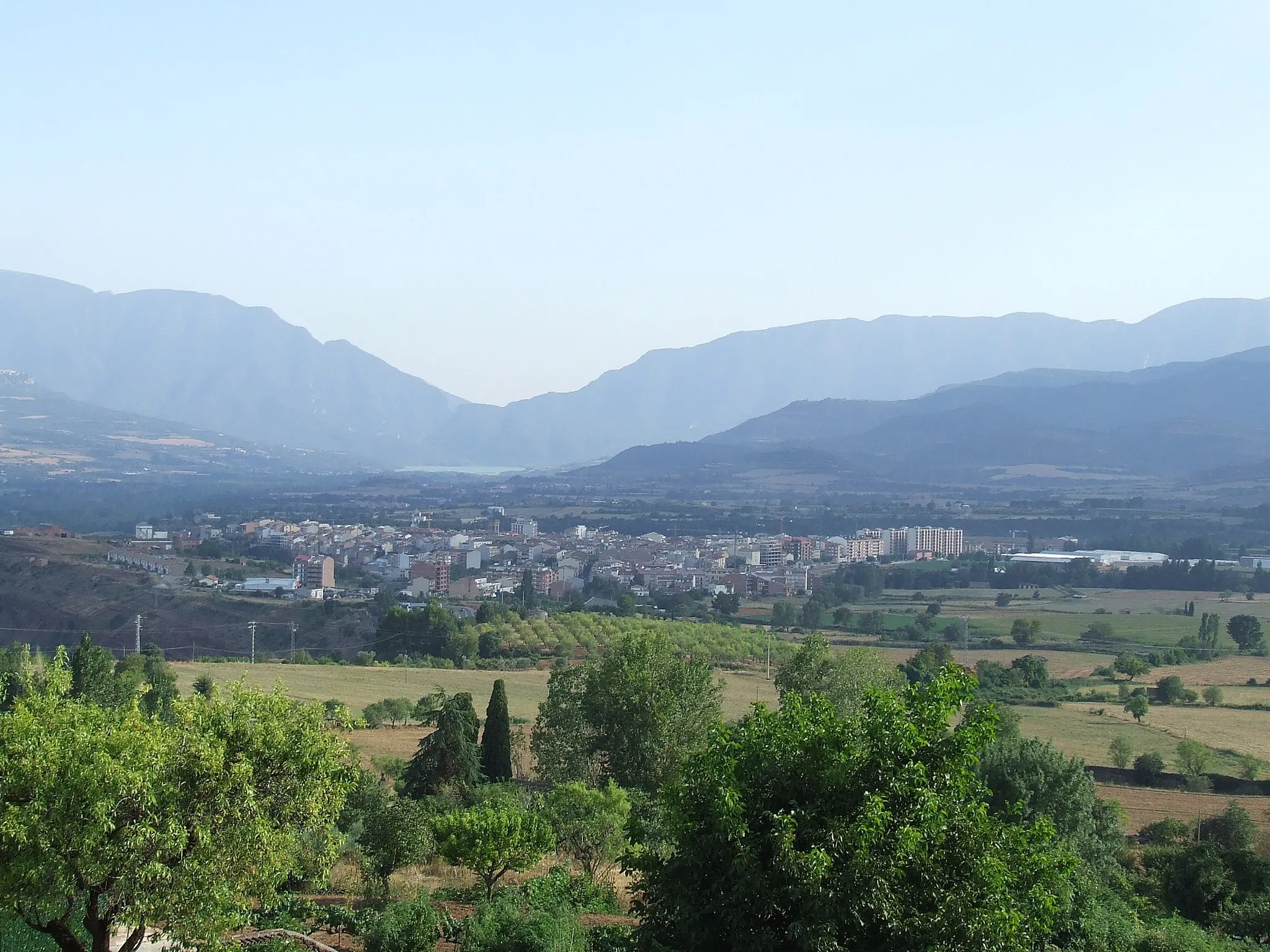
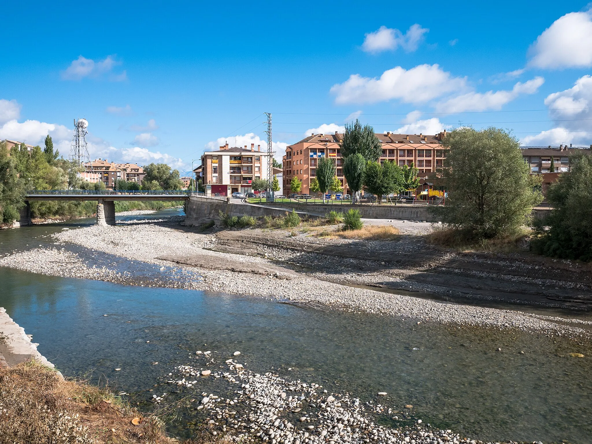
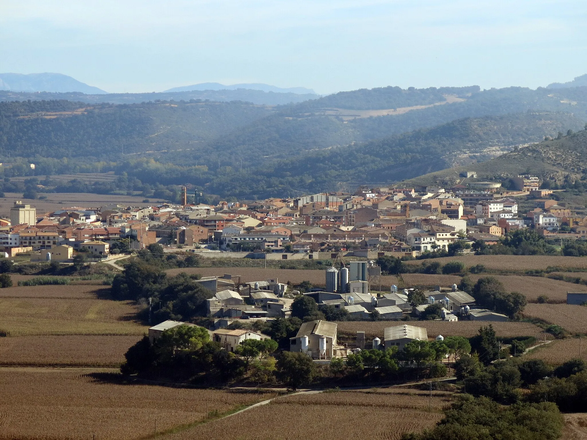
Start: el Pont de Suert City centerel Pont de Suert: Challenging climbs amidst picturesque surroundings in El Pont de Suert.
El Pont de Suert is a locality located in the Cataluña region of Spain. El Pont de Suert offers cyclists a mix of challenging climbs and picturesque routes. Cyclists can enjoy riding through the charming Spanish towns and villages in the area, or take on the demanding climbs in the Pyrenees Mountains. The nearby Vallibierna Dam is a popular spot for cyclists to visit, with its tranquil atmosphere and stunning views. Overall, El Pont de Suert provides cyclists with a combination of beautiful scenery, challenging climbs, and cultural experiences.14 km
14 km
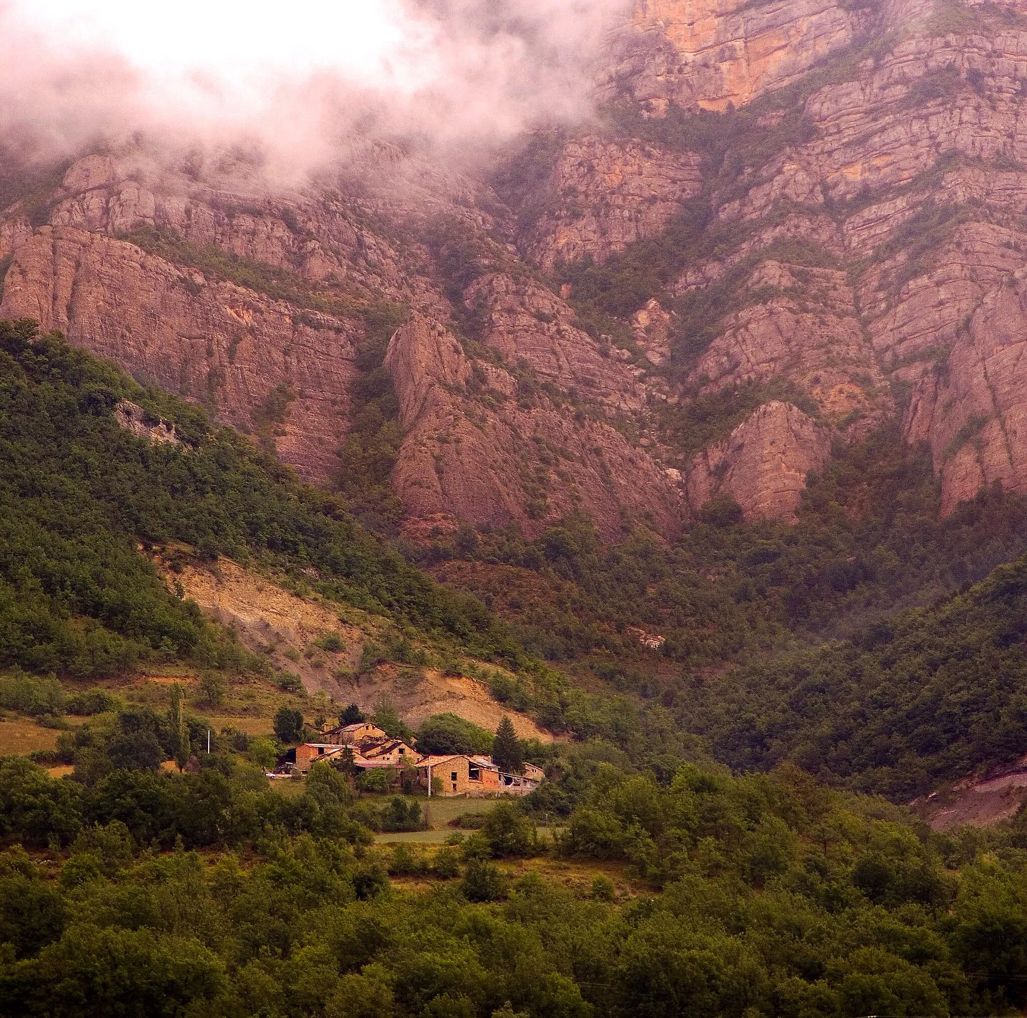
Roc de Sant Cugat1328 mPeakAt a distance of 14 kilometers, you'll reach Roc de Sant Cugat, a remarkable rock formation with interesting geological features.
14 km
14 km
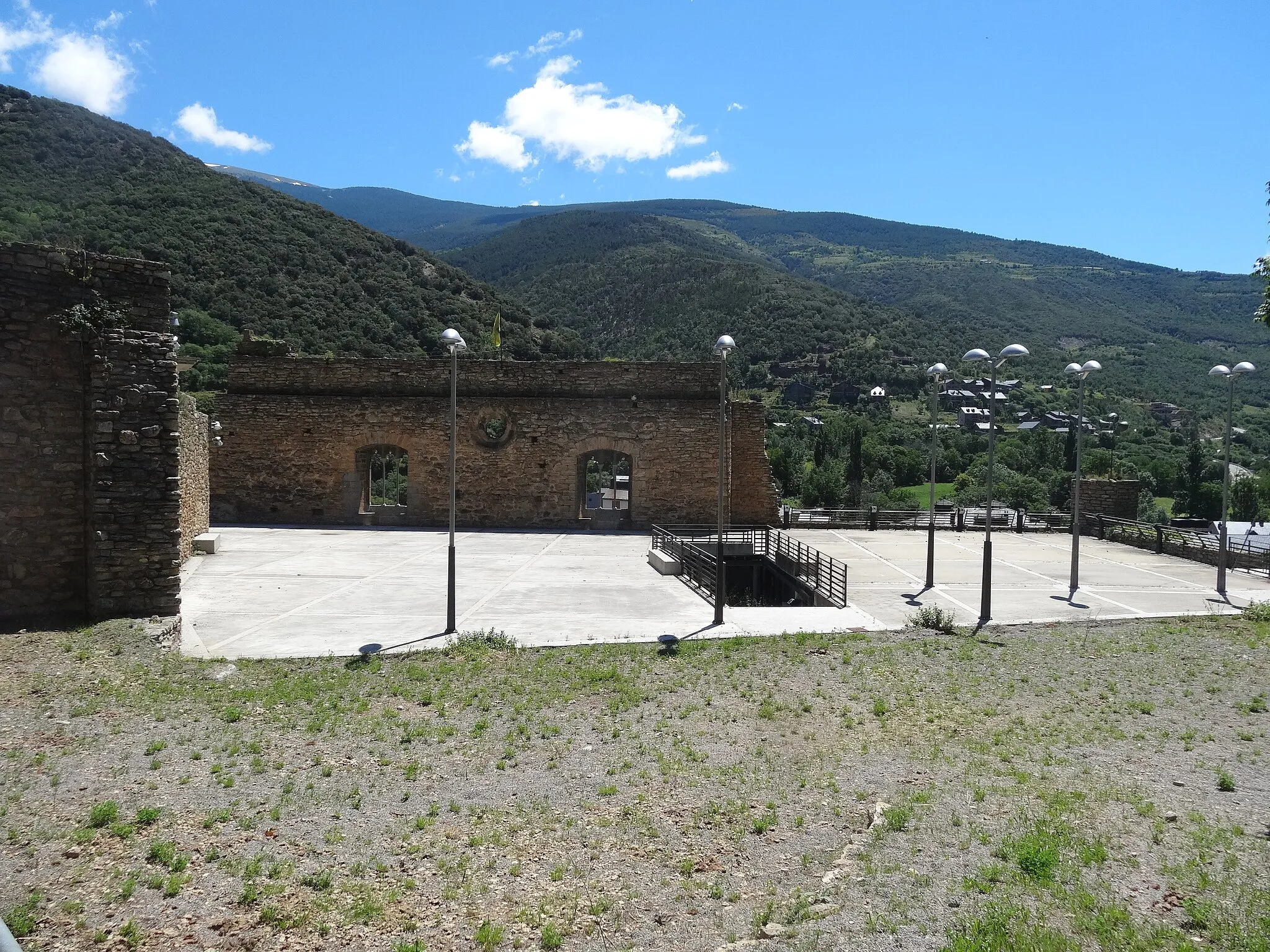
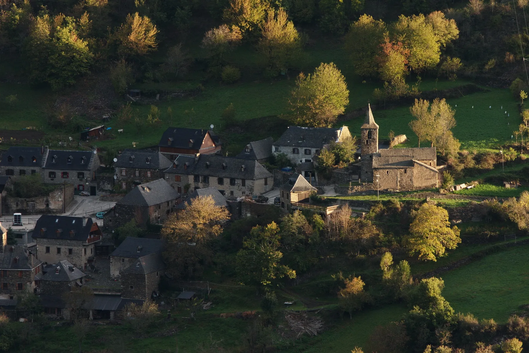
SopeiraVillageSopeira is a charming village located at a distance of 14 kilometers, known for its historic architecture and natural beauty.
23 km
23 km
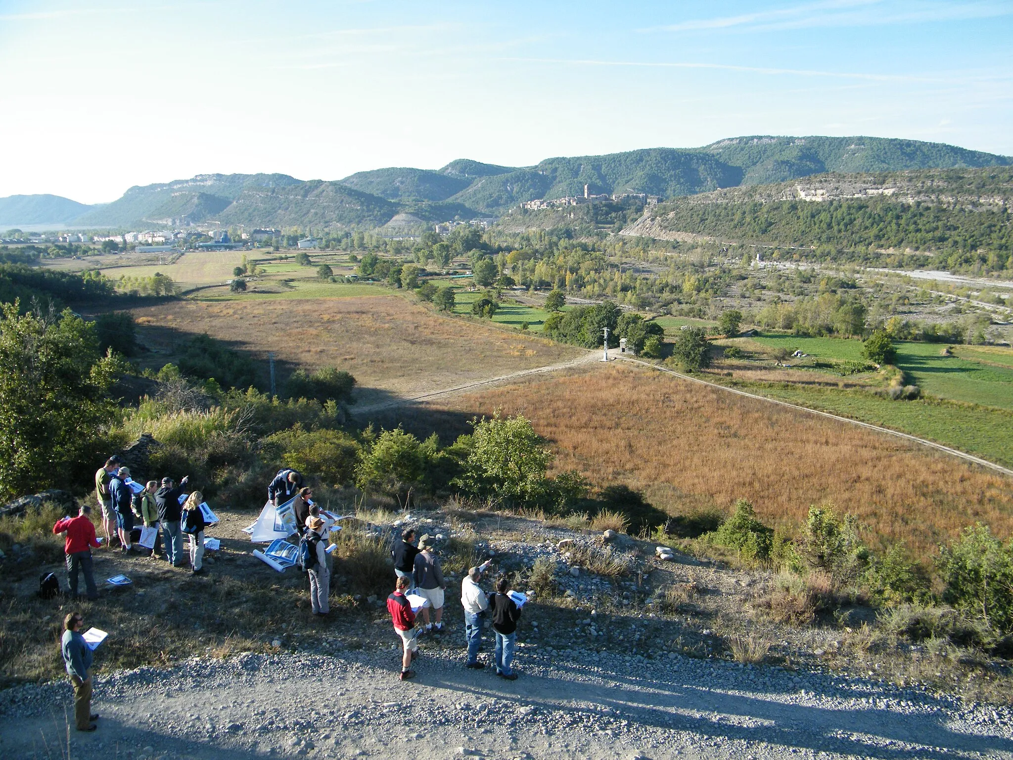
Las Icnitas De Arén (Dinosaurs)ViewpointLas Icnitas De Arén (Dinosaurs) is an archaeological site located at a distance of 23 kilometers, offering fossil footprints of dinosaurs.
24 km
24 km
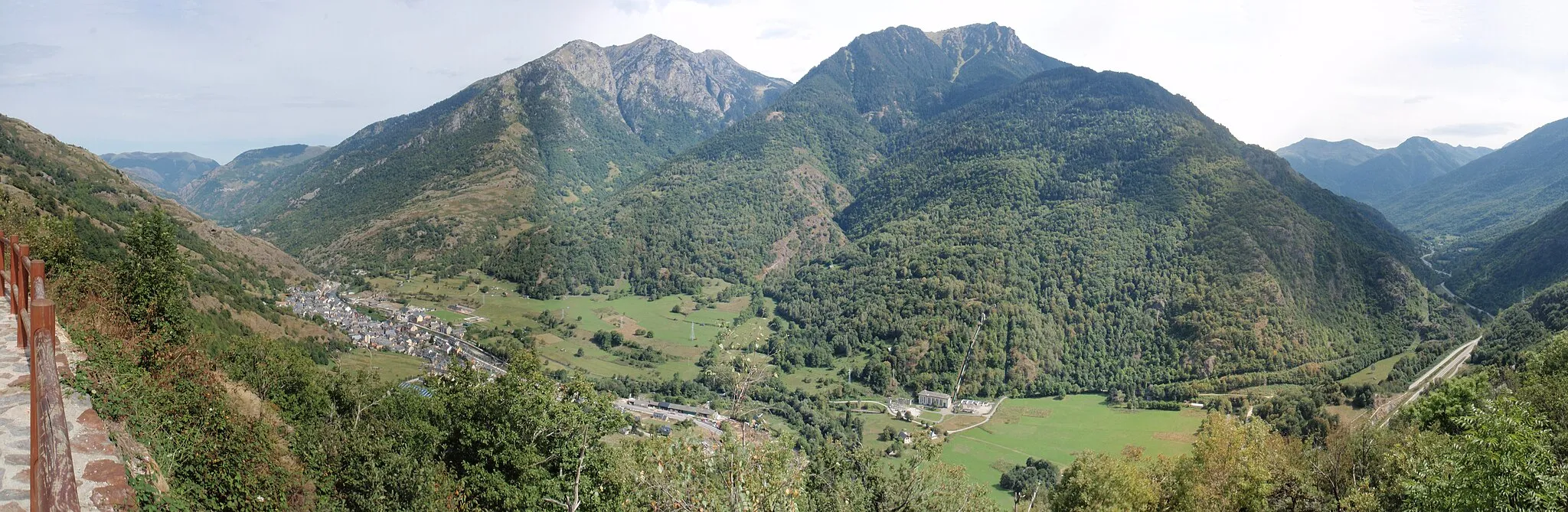
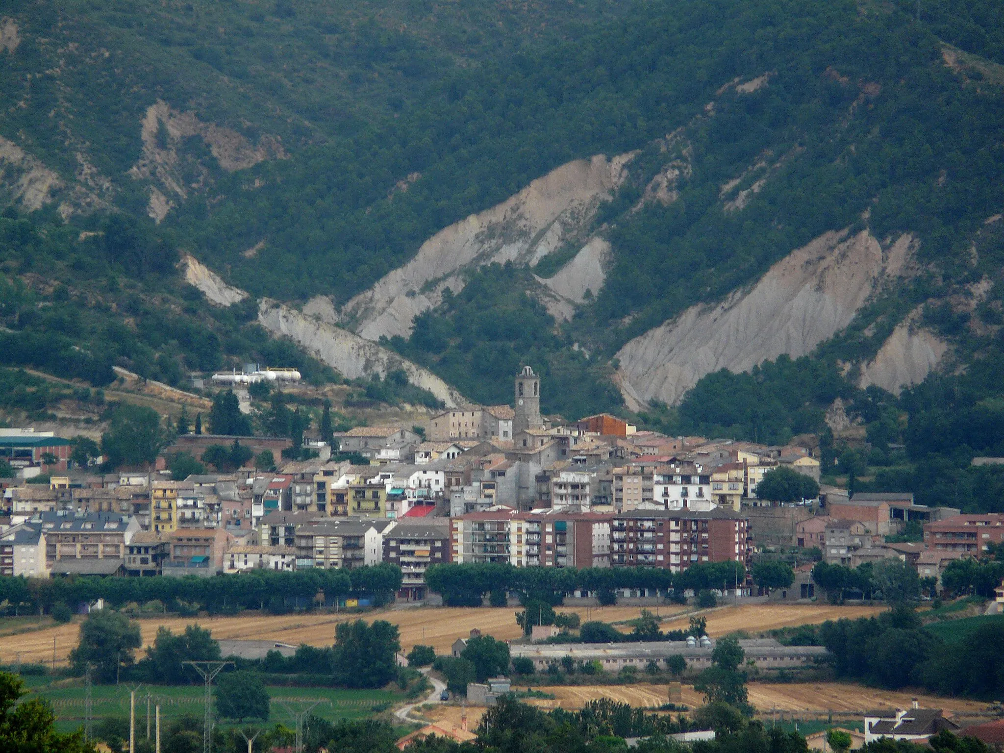
Arén / Areny de NogueraVillageArén / Areny de Noguera is a picturesque village located at a distance of 24 kilometers, known for its medieval castle and ancient walls.
56 km
56 km
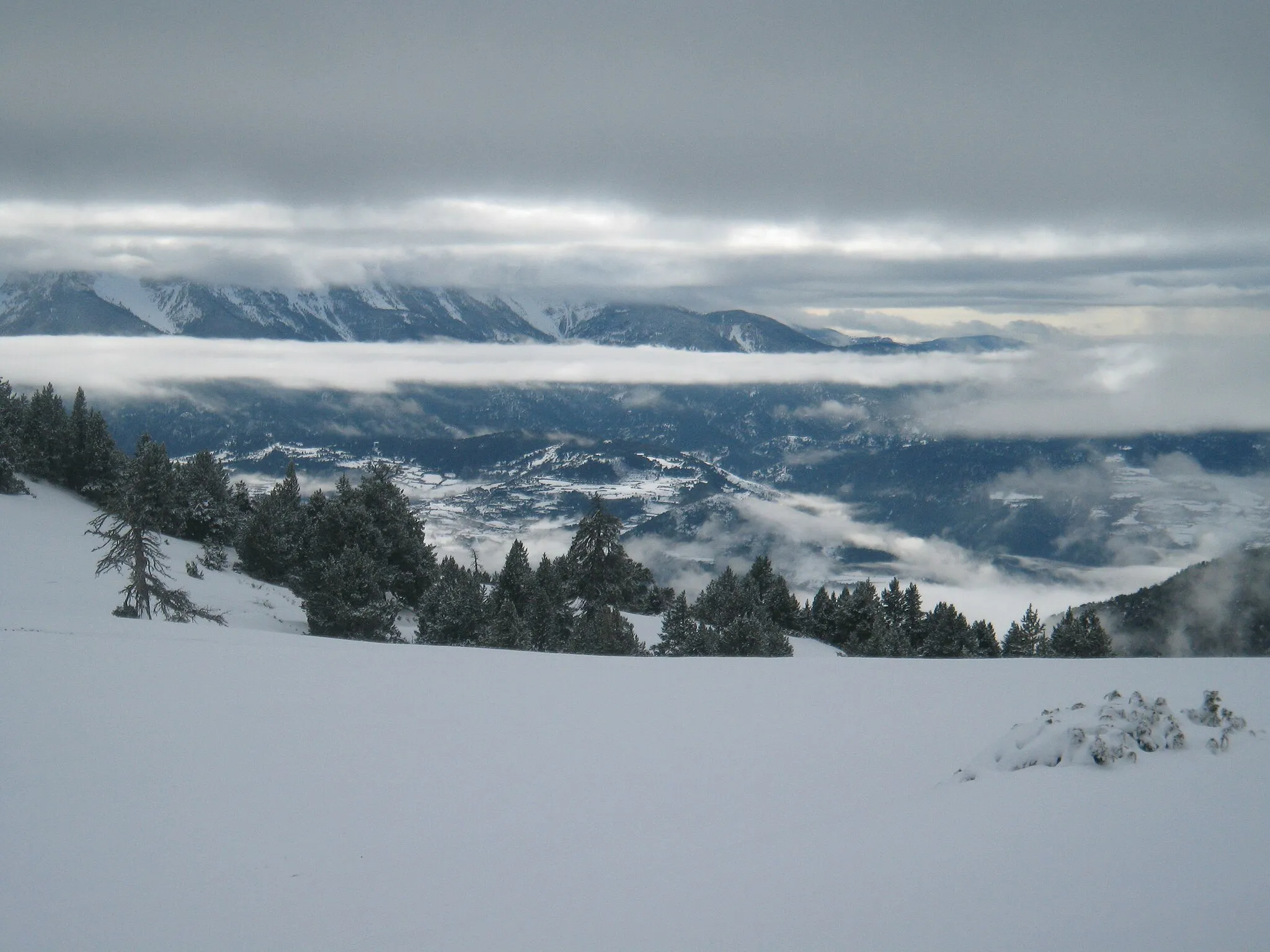
Colle de VentViewpointColle de Vent is a scenic mountain pass located at a distance of 56 kilometers, offering stunning views of the surrounding countryside.
67 km
67 km
BeranuyVillageBeranuy is a charming village located at a distance of 67 kilometers, known for its medieval houses and traditional festivals.
86 km
86 km
Tossal de la Mola1377 mPeakTossal de la Mola is a hill located at a distance of 86 kilometers, providing a challenging climb and rewarding views.
93 km
93 km
Finish: el Pont de Suert City centerel Pont de Suert: Challenging climbs amidst picturesque surroundings in El Pont de Suert.
Cycling routes from el Pont de Suert:
El Pont de Suert - Tossal de les Roques Collades El Pont de Suert - Pòrt de Vielha El Pont de Suert - Església de Sueix (Gravel) El Pont de Suert - Església de Sueix (Gravel) El Pont de Suert - el Faro Road to Tossal de les Roques Collades Gravel Adventure to Roc de Sant Cugat Off-Road Expedition to Tossal Roi Gravel Escape to Tossal de la Mola The Catalonian Gravel Adventure La Mola Gravel Adventure
Cycling routes nearby: