Santa Eulàlia de Ronçana Loop
A road cycling route starting from Llica d'Amunt
Explore the charming town of Santa Eulàlia de Ronçana
Map
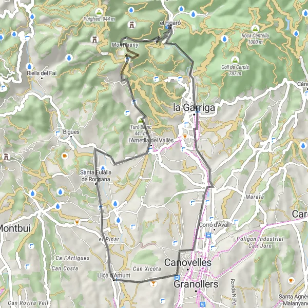
This road cycling route starts in Lliçà d'Amunt and takes you through picturesque countryside to the quaint town of Santa Eulàlia de Ronçana. The highlight of the route is reaching the top of Turó de Puioret, offering panoramic views of the surrounding landscape. The route covers a distance of 40 km with an ascent of 685 m, making it suitable for intermediate cyclists. Difficulty level is 2 out of 5 and it is rated 3 out of 5 for epicness.
road
40 km
685 m
Chill
Route profile
Highlights on the route
0 km
0 km
Start: Lliçà d'Amunt Village centerLliçà d'Amunt: Conquer the challenging climbs of Lliçà d'Amunt.
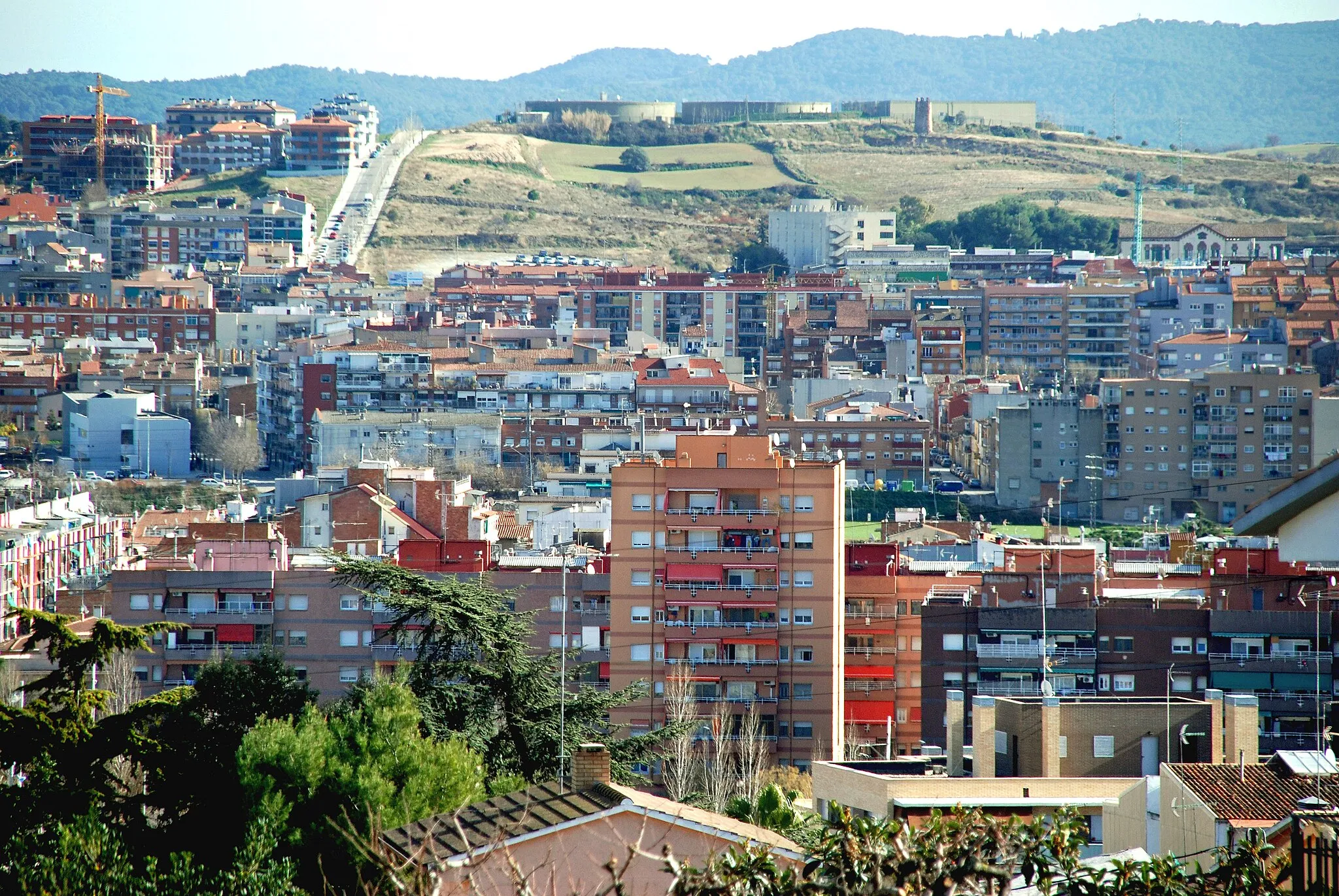
Lliçà d'Amunt is a locality in Cataluña, Spain. With its hilly terrain and scenic routes, Lliçà d'Amunt is a great destination for road and gravel cyclists. The area boasts several challenging climbs, including the Collsuspina mountain pass. Cyclists will also enjoy the picturesque countryside and charming Catalan villages.4 km
4 km
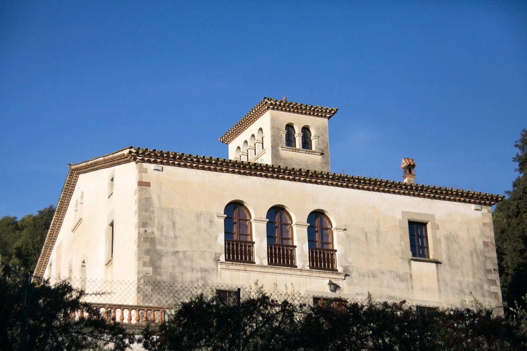
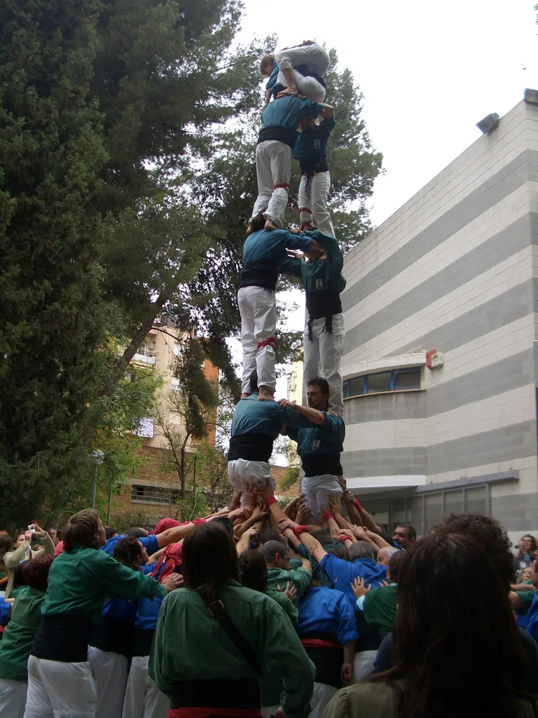
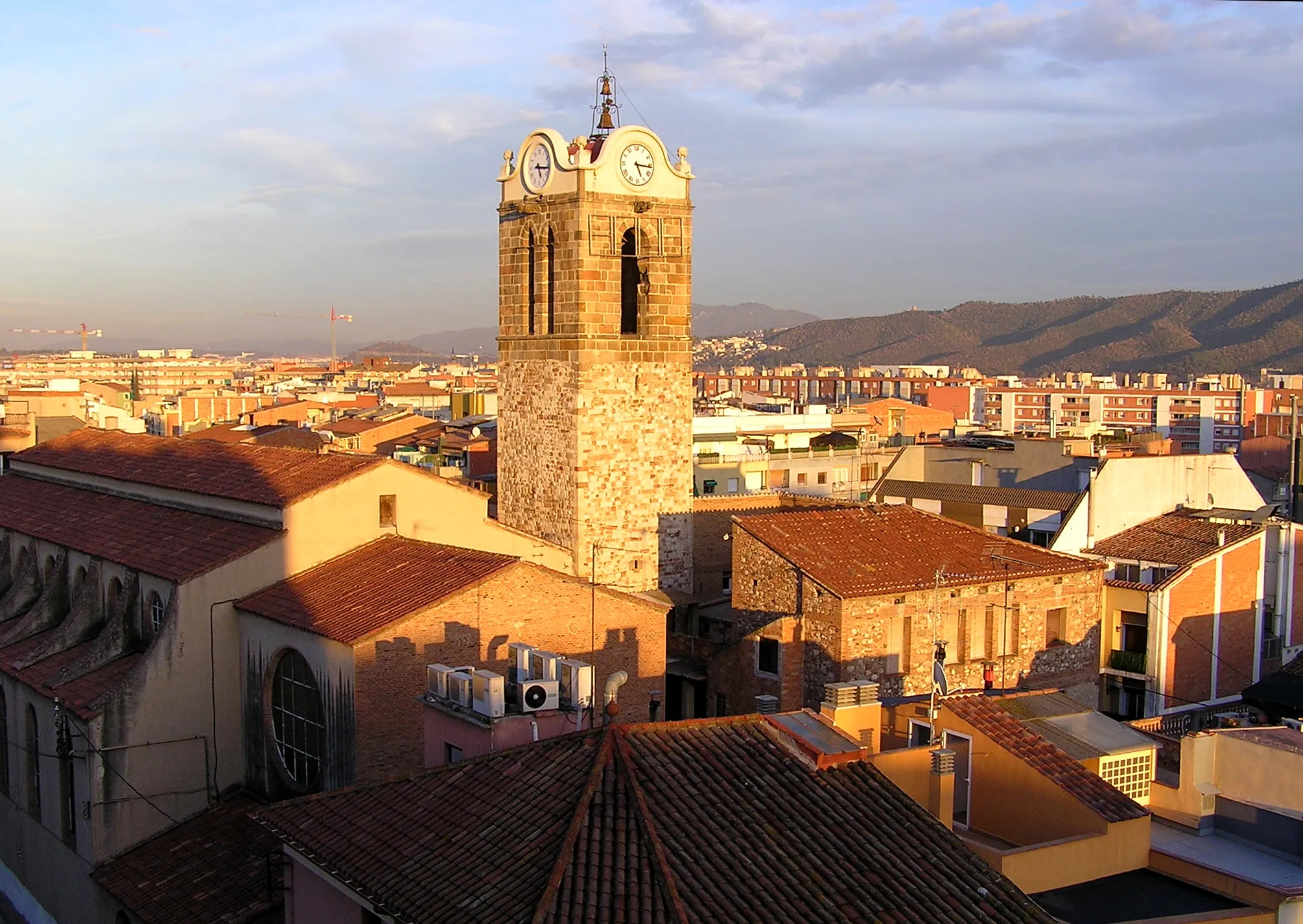
Santa Eulàlia de RonçanaVillageSanta Eulàlia de Ronçana is a charming town with narrow streets, ancient buildings, and a welcoming atmosphere.
13 km
13 km
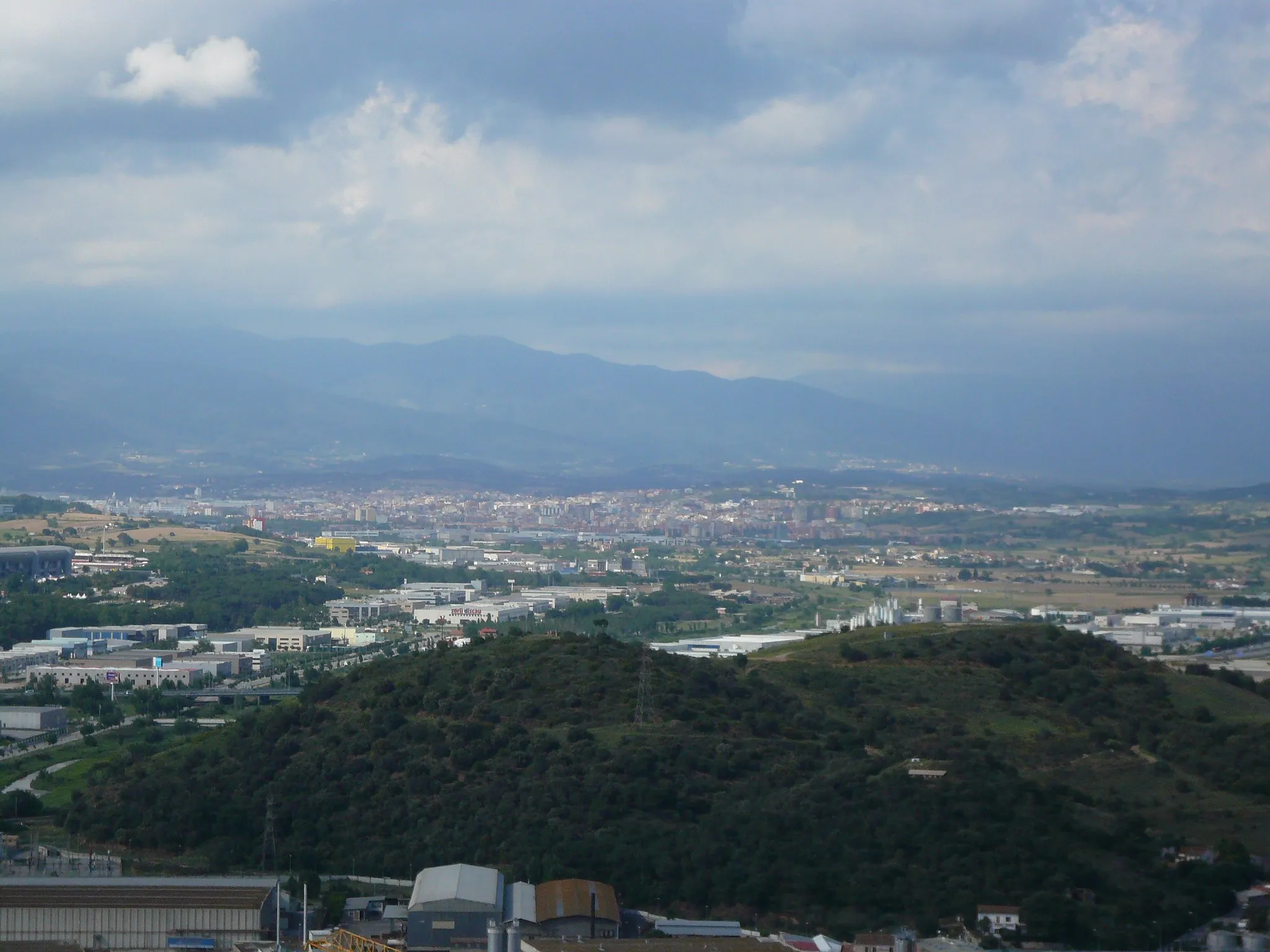
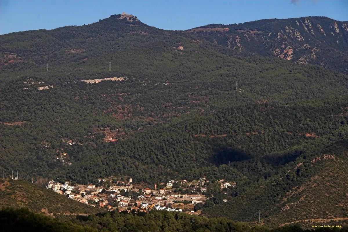
Turó de Puioret598 mPeakTuró de Puioret provides stunning views of the rolling hills and vineyards in the region.
22 km
22 km
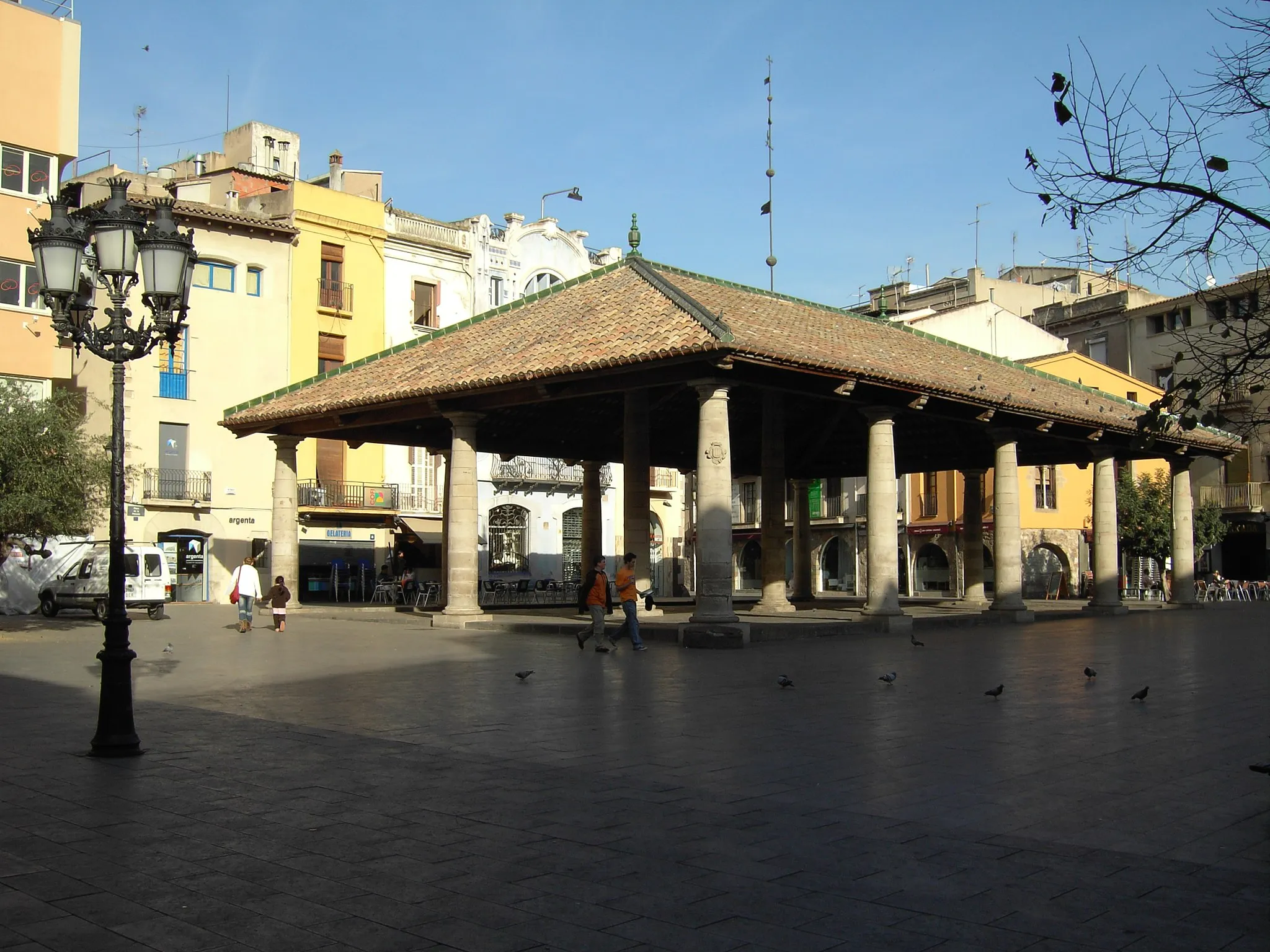
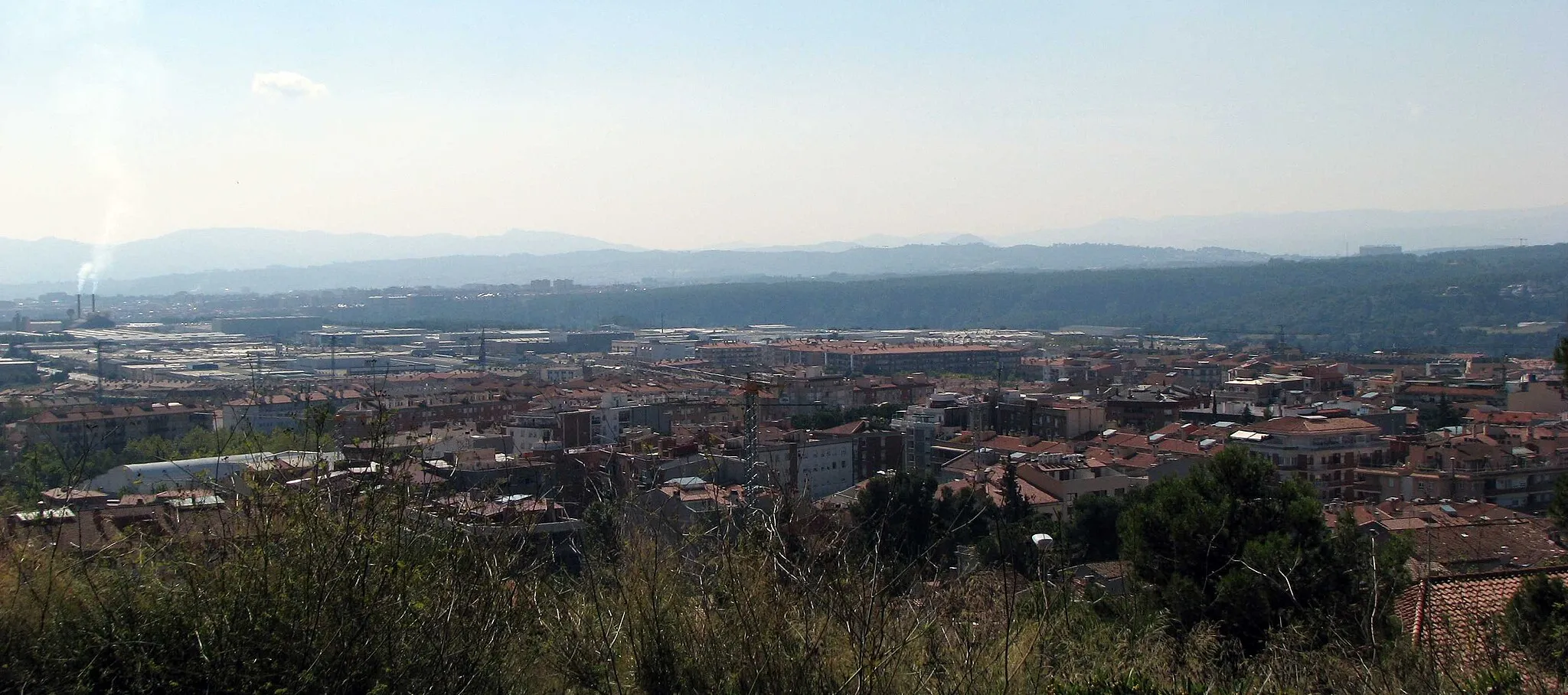
el FigaróVillageEl Figaró is a small town known for its traditional Catalan architecture and charming cafes.
26 km
26 km
Turons de Can Noguera347 mPeakTurons de Can Noguera is a series of hills with scenic views and quiet roads for enjoyable cycling.
40 km
40 km
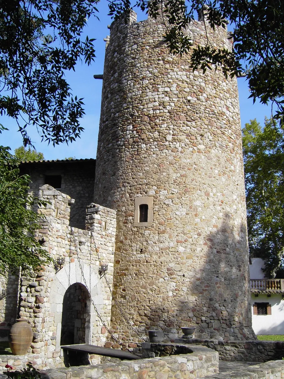
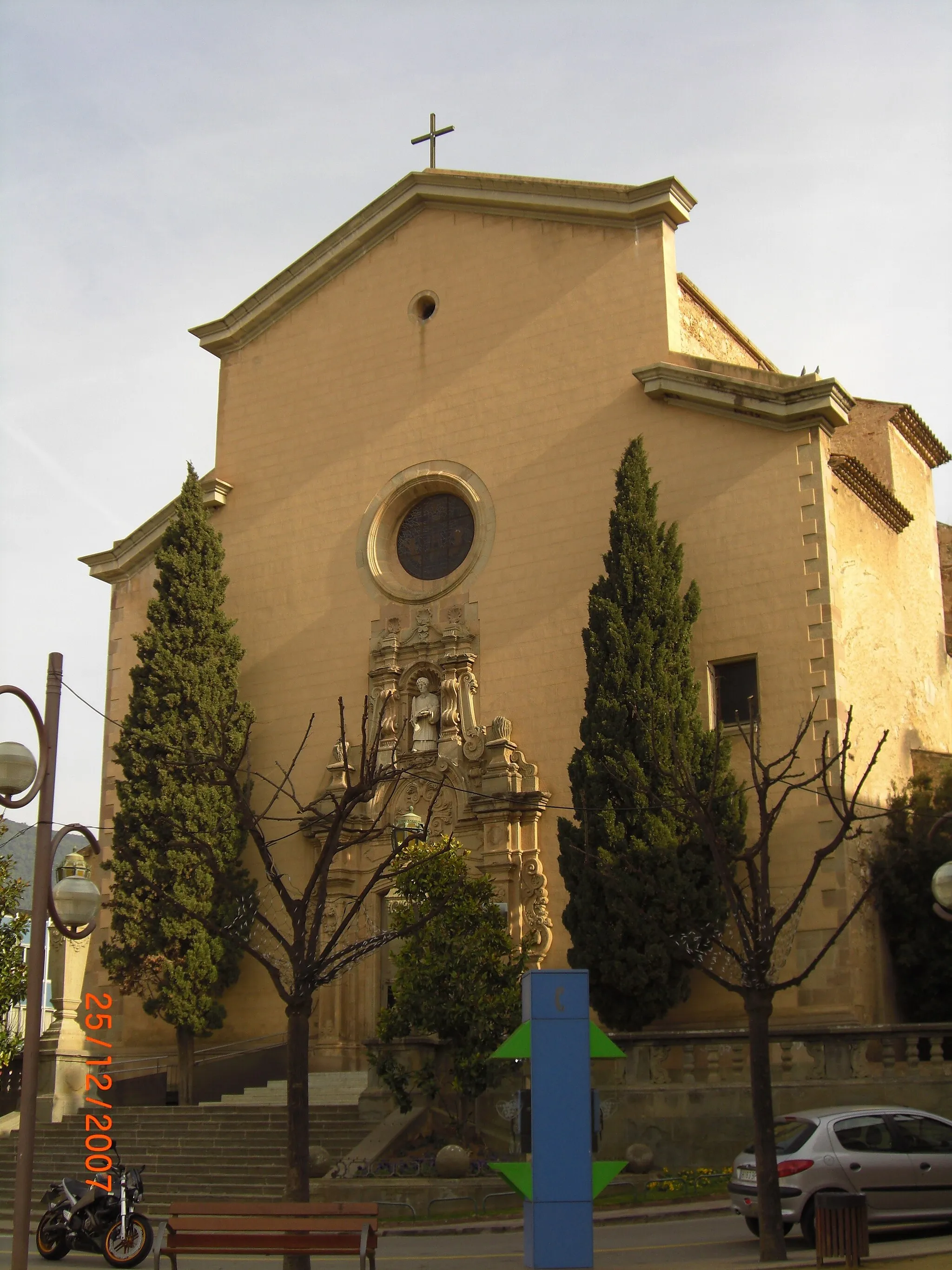
Lliçà d'AmuntVillageLliçà d'Amunt is a picturesque town with a beautiful historic center and great options for food and drinks.
40 km
40 km
Finish: Lliçà d'Amunt Village centerLliçà d'Amunt: Conquer the challenging climbs of Lliçà d'Amunt.
Cycling routes from Llica d'Amunt:
Cycling routes nearby: