Mountain Challenge
A gravel cycling route starting from Salt
Conquer the mountains on this challenging gravel route near Salt
Map

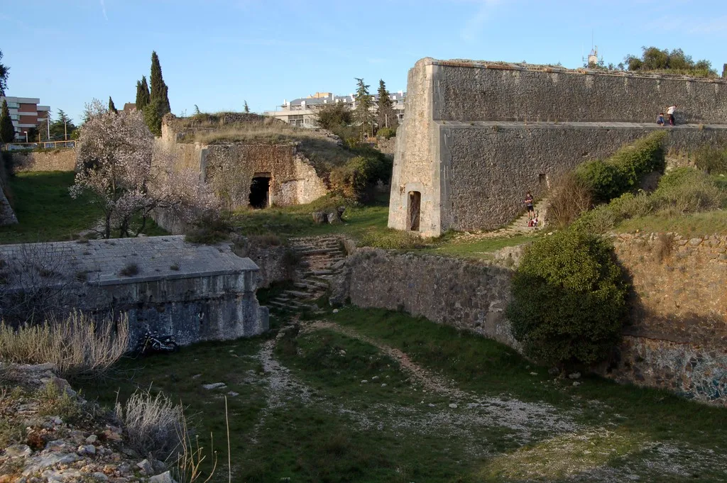
The Mountain Challenge is a tough gravel route near Salt, with a distance of 100 kilometers and an ascent of 2007 meters. This epic ride takes you through steep climbs and breathtaking mountain scenery. Starting in Salt, the route passes through Castell de Sant Esteve, Turó d'en Patllari, l'Esparra, Montgròs Xic, Joanet, Turó de Llumeneres, Anglès, punt d'observació d'aus, and Bescanó. Along the way, you'll encounter ancient castles, scenic viewpoints, and remote mountain trails. This route is suitable for experienced and fit cyclists seeking a challenging mountain adventure.
gravel
100 km
2007 m
Savage
Route profile
Highlights on the route
0 km
0 km
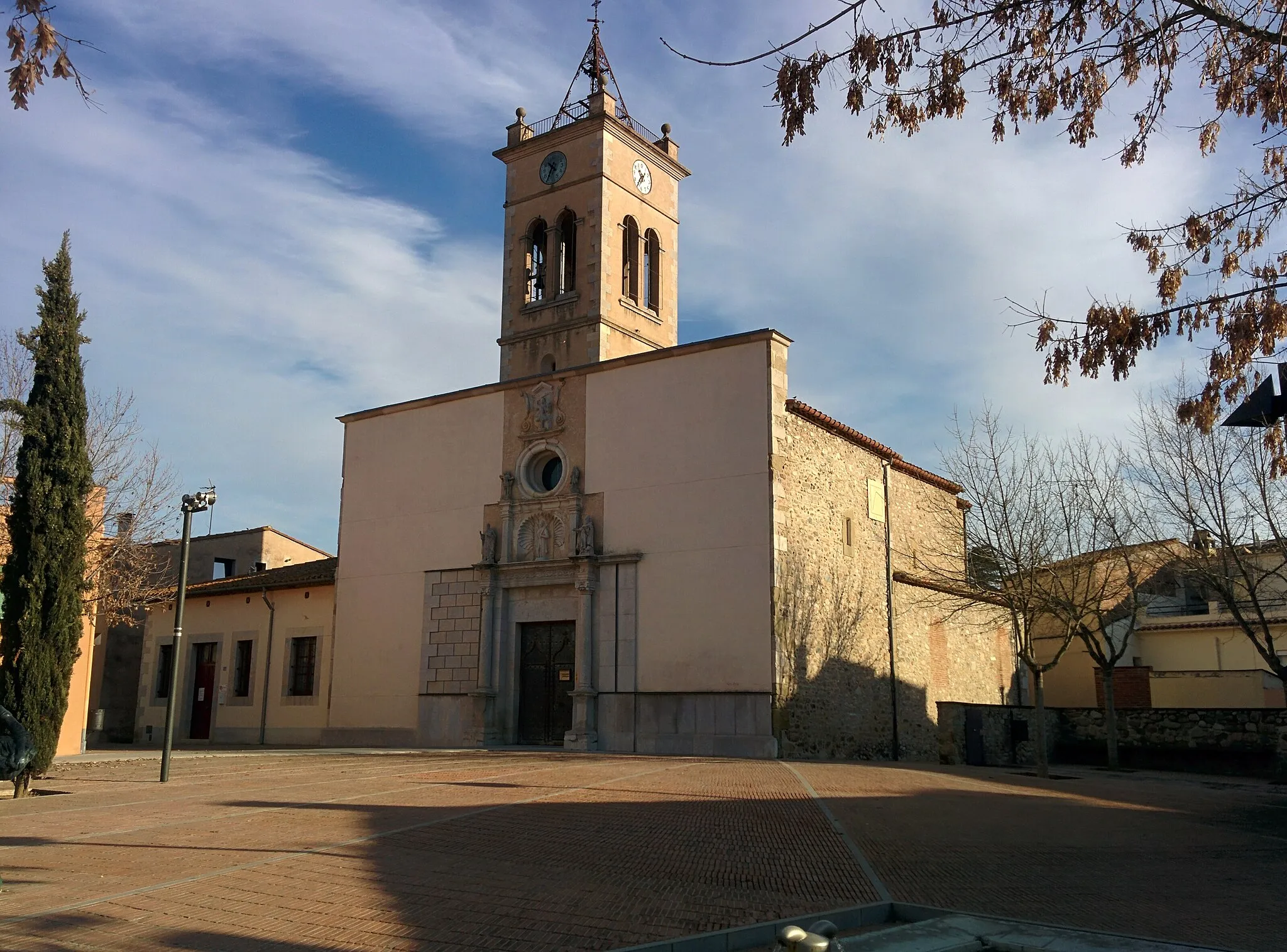
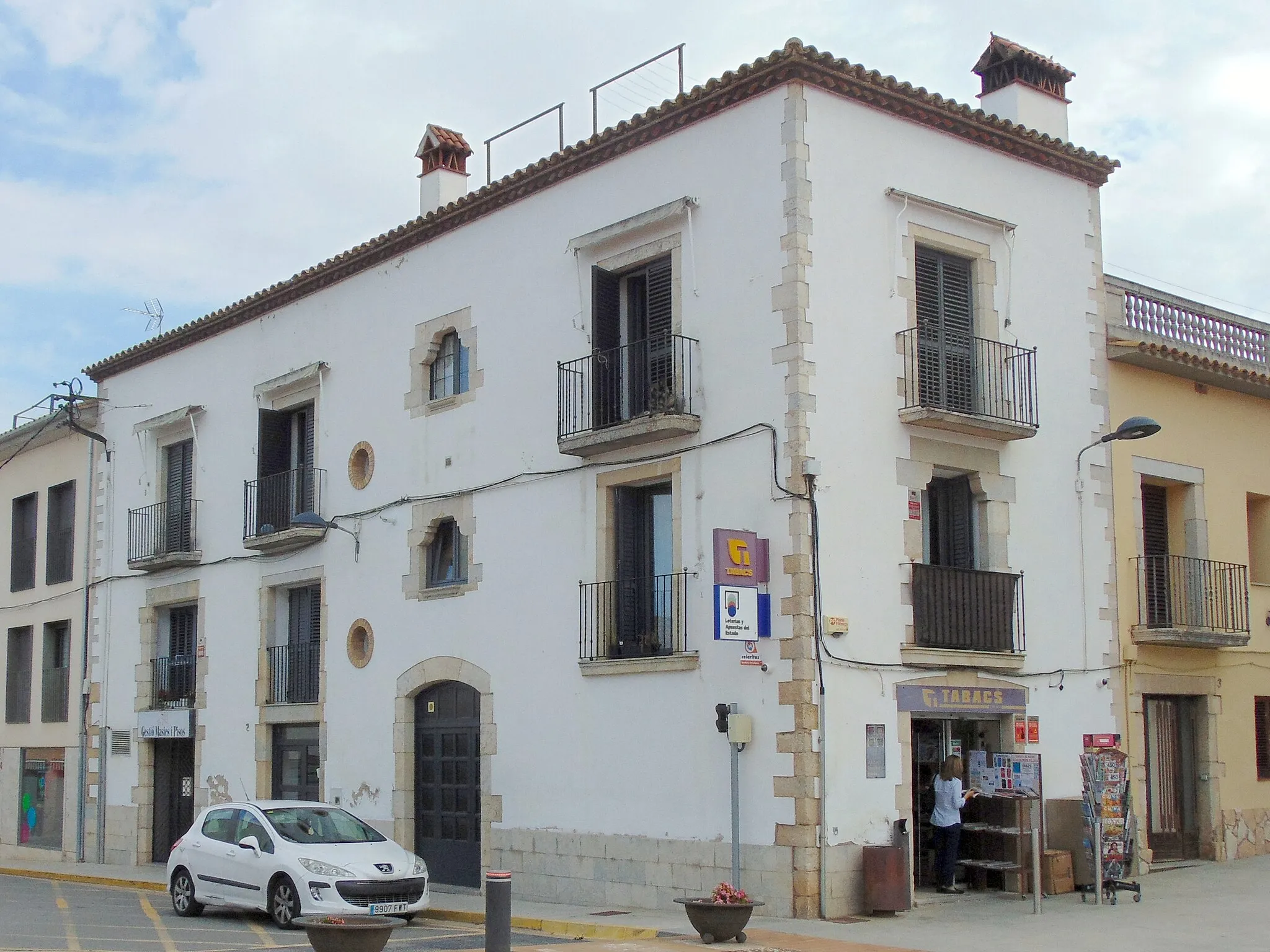
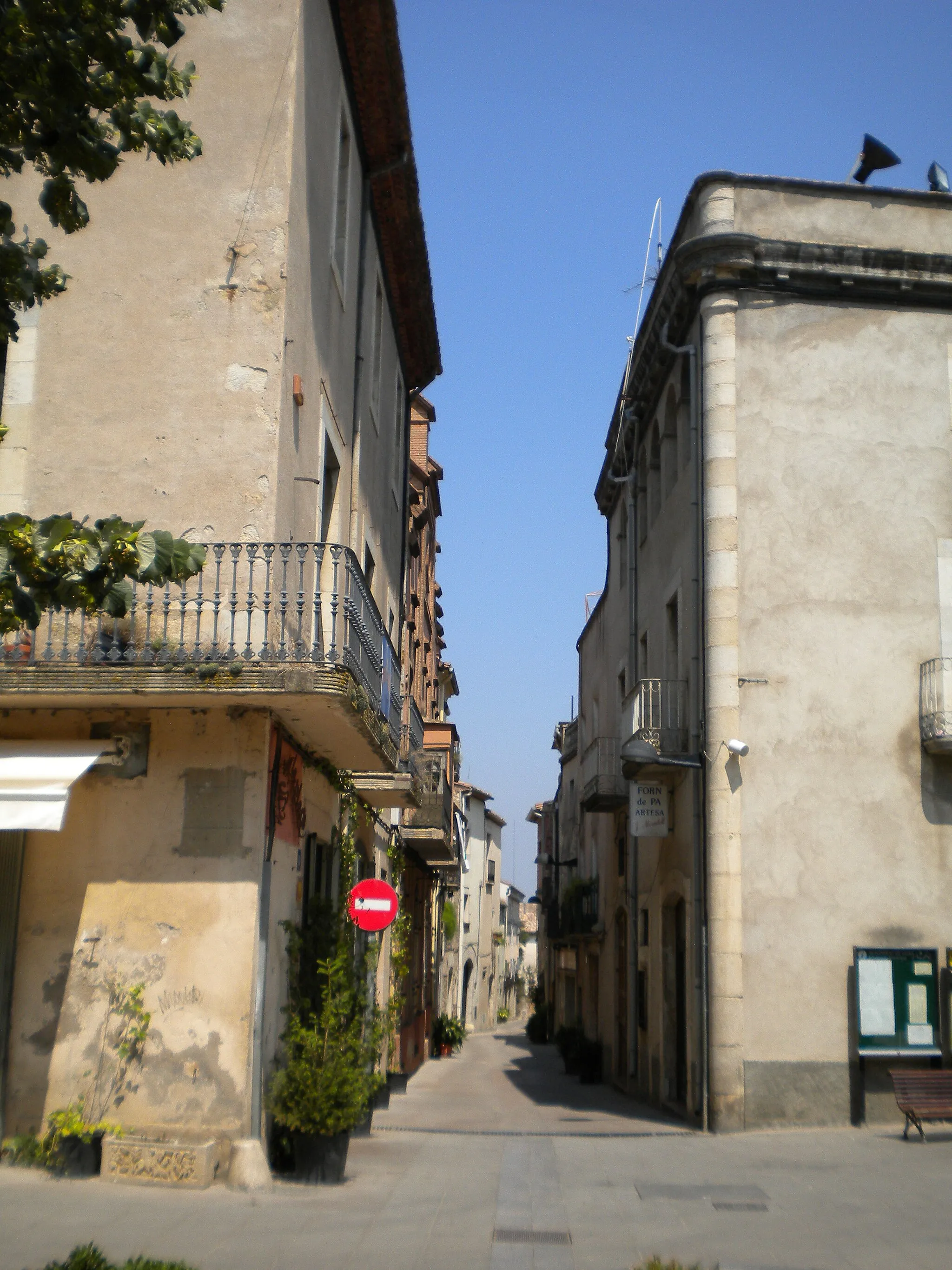
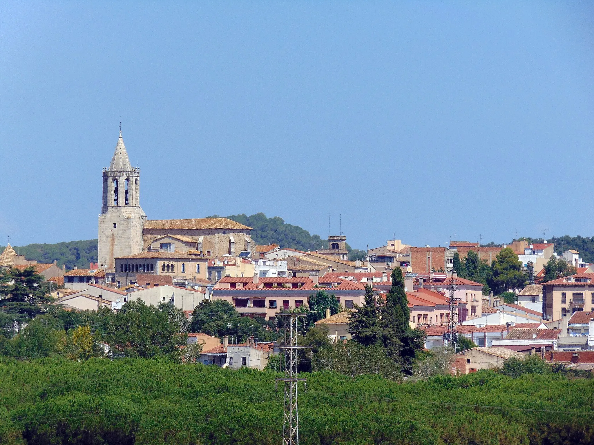
Start: Salt City centerSalt: Quiet and accessible cycling in a scenic countryside.
Salt, located in the Cataluña region of Spain, provides moderate cycling opportunities for road and gravel cyclists. The town has some decent cycling routes on its outskirts but is not known for any famous climbs or iconic cycling spots. However, Salt offers a pleasant environment for cyclists to enjoy quiet rides and explore the nearby countryside. With its relatively flat terrain and accessible roads, Salt is a suitable locality for leisurely cycling.0 km
0 km
SaltTownBegin your journey in the vibrant town of Salt
14 km
14 km
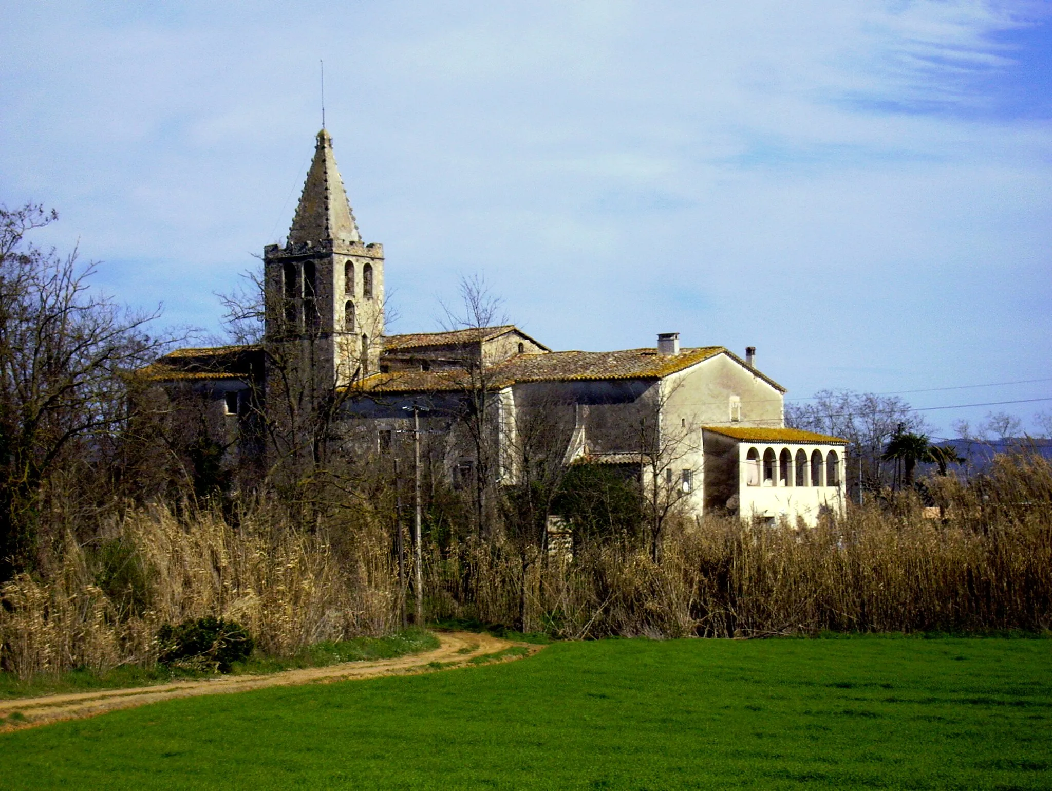
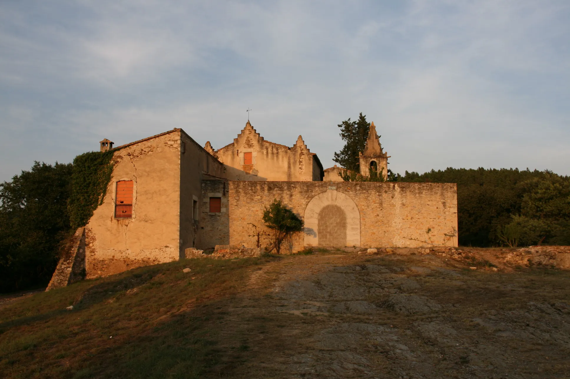
Castell de Sant EsteveCastleExplore the historic Castell de Sant Esteve
31 km
31 km
Turó d'en Patllari191 mPeakConquer the challenging climb up Turó d'en Patllari
33 km
33 km
l'EsparraHamletEnjoy panoramic views from l'Esparra
42 km
42 km
Montgròs Xic350 mPeakDiscover the hidden charm of Montgròs Xic
54 km
54 km
JoanetHamletVisit the secluded village of Joanet
74 km
74 km
Turó de Llumeneres794 mPeakExperience the rugged beauty of Turó de Llumeneres
84 km
84 km
AnglèsVillageClimb to the scenic town of Anglès
85 km
85 km
punt d'observació d'ausViewpointObserve birds at the viewpoint punt d'observació d'aus
94 km
94 km
BescanóVillageFinish your challenge in the town of Bescanó
100 km
100 km
Finish: Salt City centerSalt: Quiet and accessible cycling in a scenic countryside.
Cycling routes nearby: