Immerse yourself in nature's wonders while cycling through the remarkable landscapes of Campo Real.
Cycling routes from Campo Real
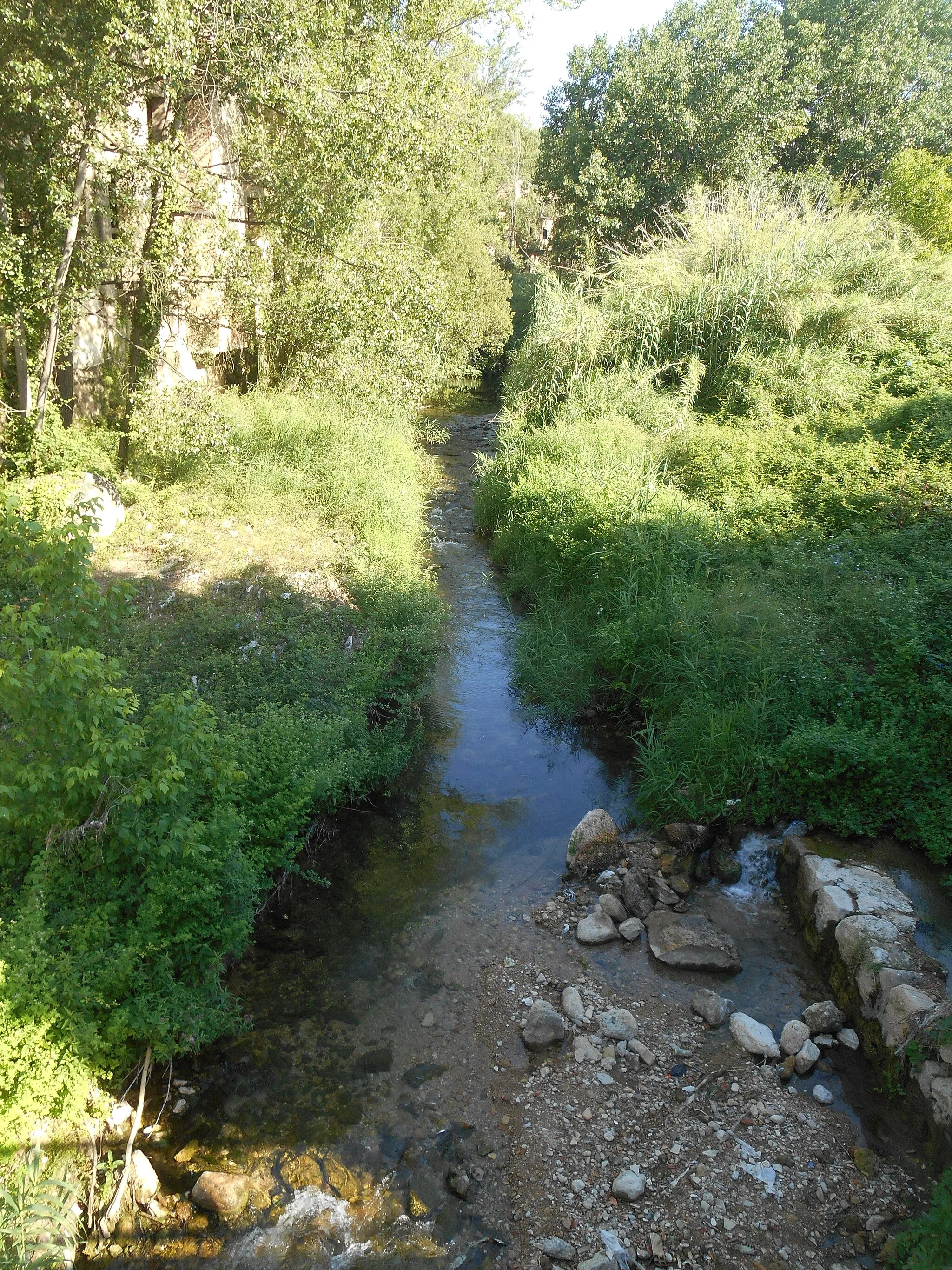
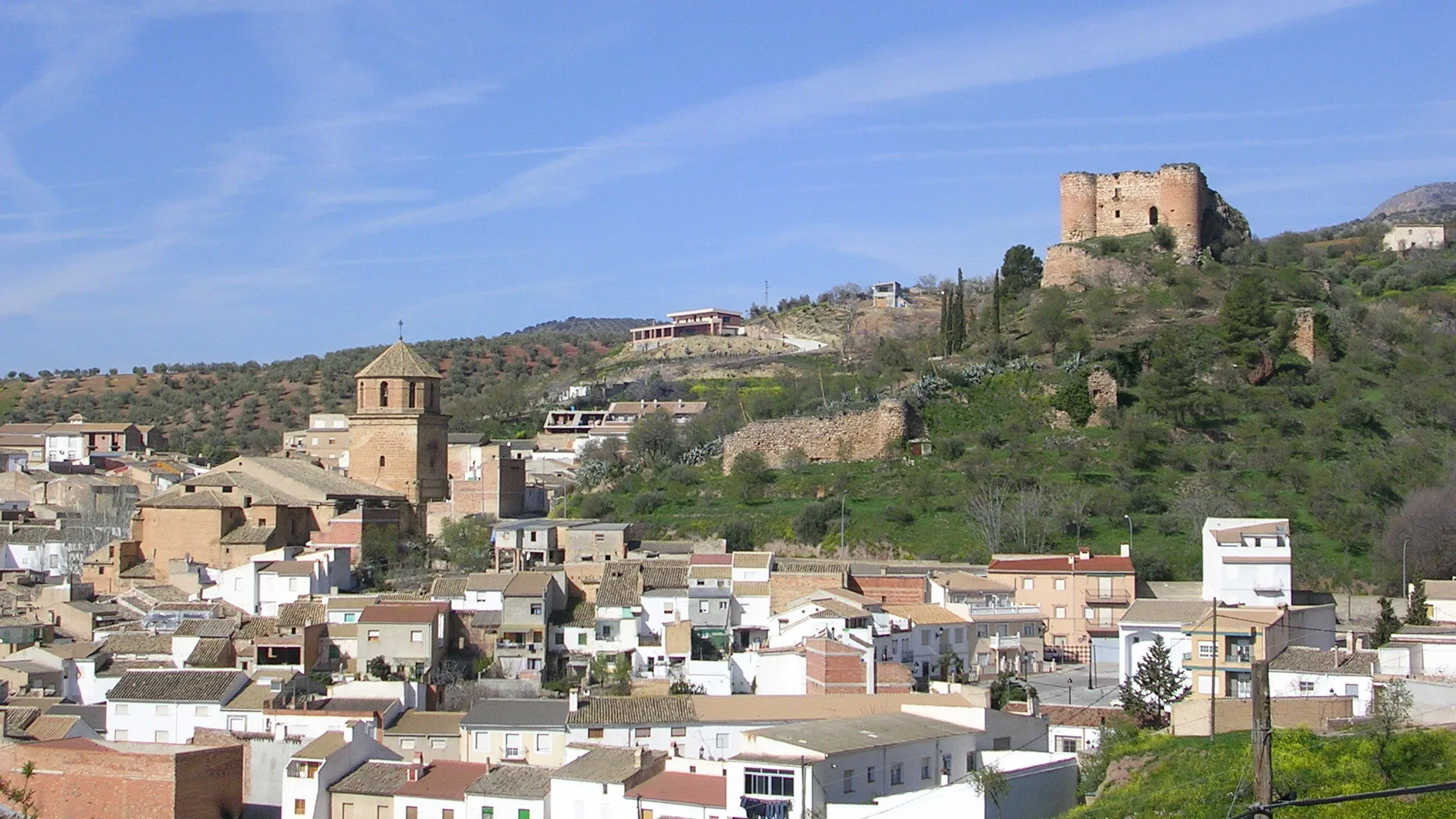
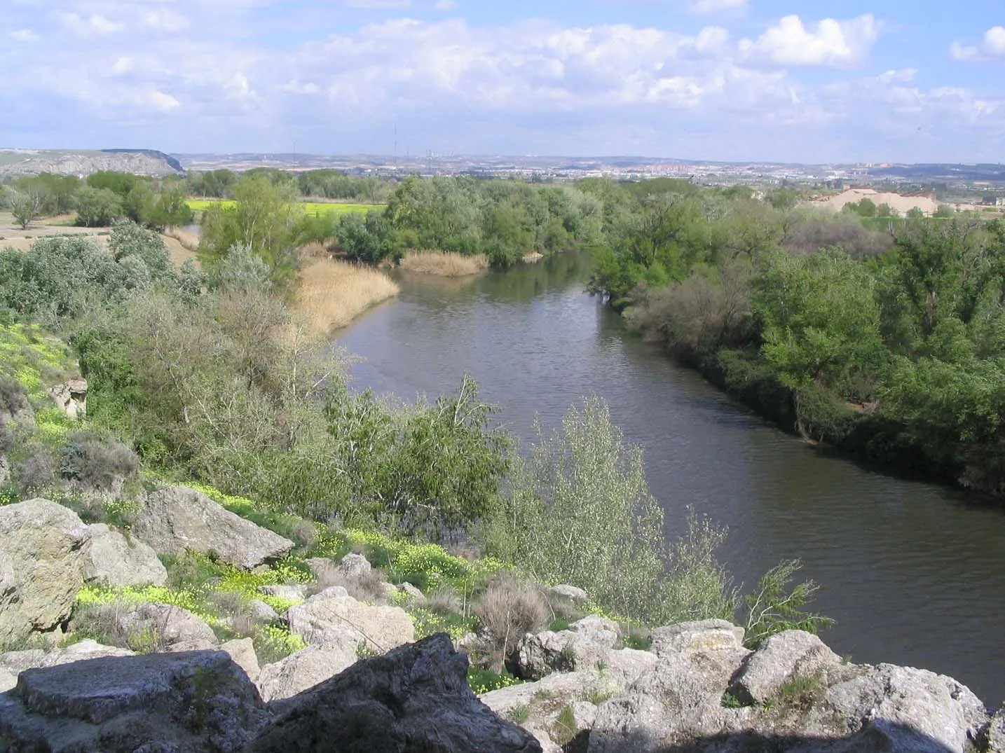
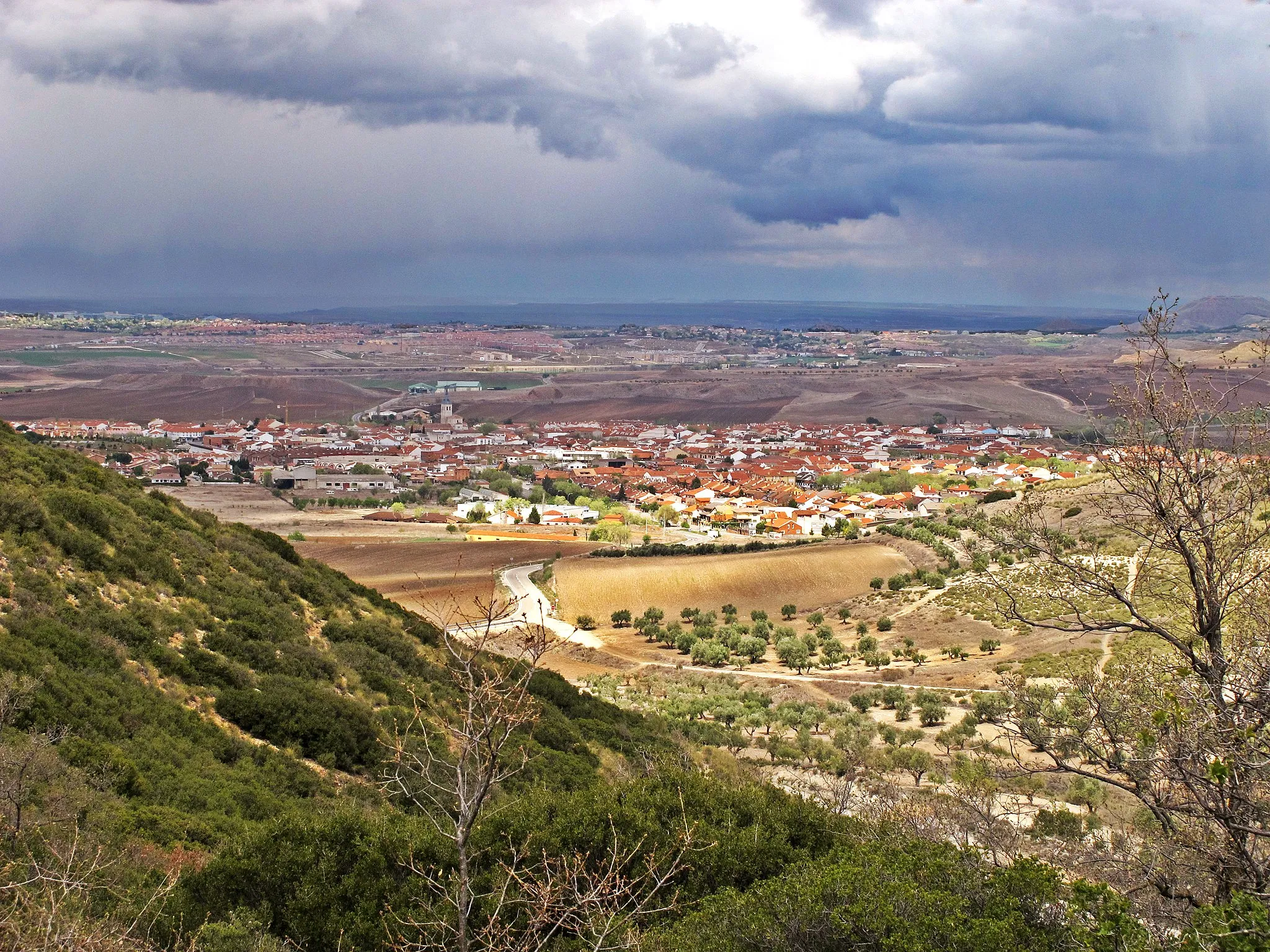
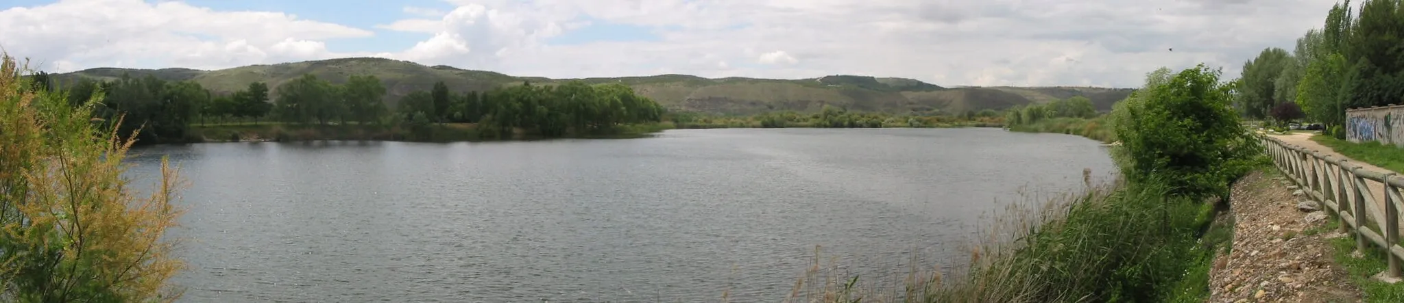
Campo Real, located in Comunidad de Madrid, Spain, offers an exciting cycling experience with its diverse terrains and scenic routes. Road and gravel cyclists can explore the breathtaking landscapes, including vineyards, olive groves, and picturesque villages. Campo Real is also home to the famous Parque Natural de Peñalara, which offers challenging climbs and stunning natural beauty. With its proximity to Madrid, cyclists can easily access the locality and enjoy a day of cycling in beautiful surroundings. Campo Real is a fantastic destination for cyclists looking for a diverse and memorable cycling adventure.
Get off the beaten path and discover the hidden gems of the surrounding towns.
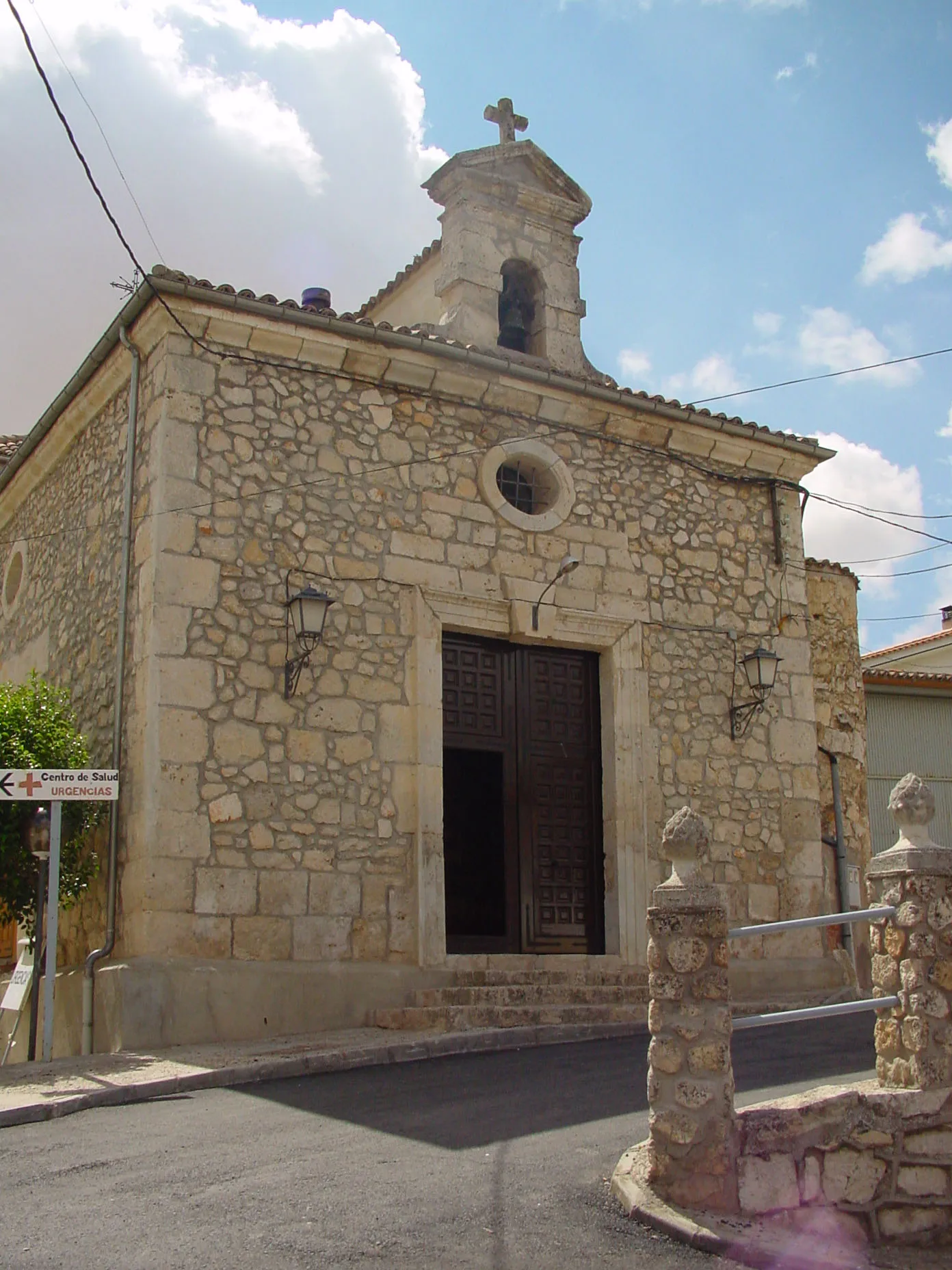
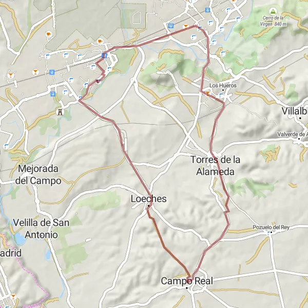
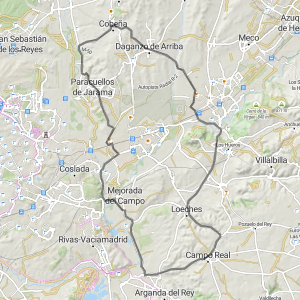
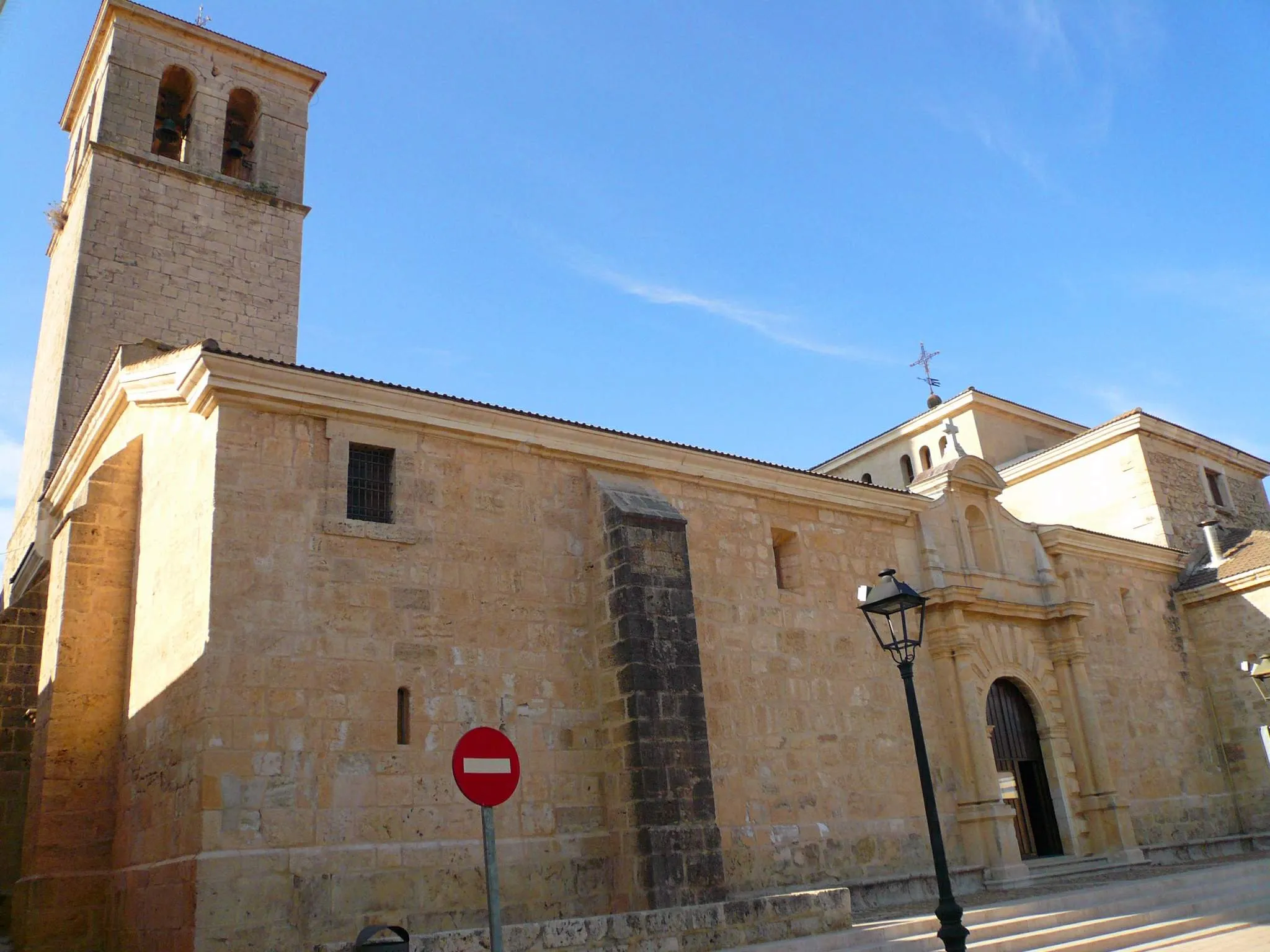
This gravel cycling route takes you from Campo Real to Loeches, Alcalá de Henares, and Torres de la Alameda before returning to the starting point. As you explore these lesser-known towns, you will be captivated by their authentic charm and historical significance. From the rich history of Alcalá de Henares, the birthplace of famous author Miguel de Cervantes, to the tranquil surroundings of Loeches, this route offers a unique glimpse into the region's cultural and natural heritage. While the difficulty level is moderate, the variety of landscapes and cultural highlights make this route an enjoyable experience for cyclists of all abilities.
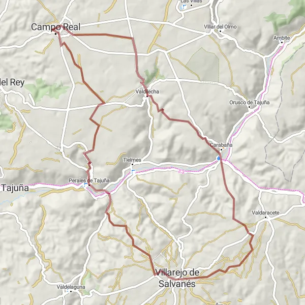
Cycle through the gravel roads from Campo Real to Villarejo de Salvanés and back
This gravel route covers a distance of 64 kilometers with a total ascent of 785 meters, taking you from Campo Real to Villarejo de Salvanés and back. Experience the rugged terrain and explore the picturesque towns along the way. Enjoy the challenges presented by gravel roads while immersing yourself in the natural surroundings of Comunidad de Madrid.

Embark on an exciting road cycling adventure, exploring a variety of landscapes and towns along the way.
This road cycling route takes you from Campo Real to Velilla de San Antonio, Exedra, Mirador Barajas T4, Ajalvir, Torrejón de Ardoz, Loeches, and finally back to Campo Real. Brace yourself for a route filled with diverse landscapes, from the charming streets of Velilla de San Antonio and Exedra to the panoramic views from Mirador Barajas T4. Along the way, you will pass through Ajalvir and Torrejón de Ardoz, two towns with their unique character and cultural attractions. Loeches marks the final stop of this exhilarating journey, with its historical center begging to be explored. This route delivers a combination of challenge and discovery, truly showcasing the diversity of the Madrid region.

Explore the outskirts of Madrid on this adventurous gravel route.
This gravel cycling route takes you on a scenic journey from Campo Real to Torres de la Alameda, Anchuelo, Pioz, Pezuela de las Torres, and Olmeda de las Fuentes. As you cycle through smaller towns and rural landscapes, you will have the opportunity to relish in the peacefulness of the countryside and admire the diverse scenery. The route offers a moderate challenge level with some inclines and gravel terrain, ideal for experienced cyclists seeking an off-road adventure.

Explore the scenic countryside near Campo Real
This route takes you through the beautiful countryside surrounding Campo Real, passing through the charming villages of Torres de la Alameda, Villalbilla, Santorcaz, Pezuela de las Torres, and Olmeda de las Fuentes. The gravel roads provide a smooth and adventurous ride, with a moderate ascent of 596 meters over a distance of 67 kilometers. Enjoy the picturesque landscapes and experience the peaceful atmosphere of the rural area.

Discover the charming towns of Valdilecha, Belmonte de Tajo, and Chinchón on this scenic route.
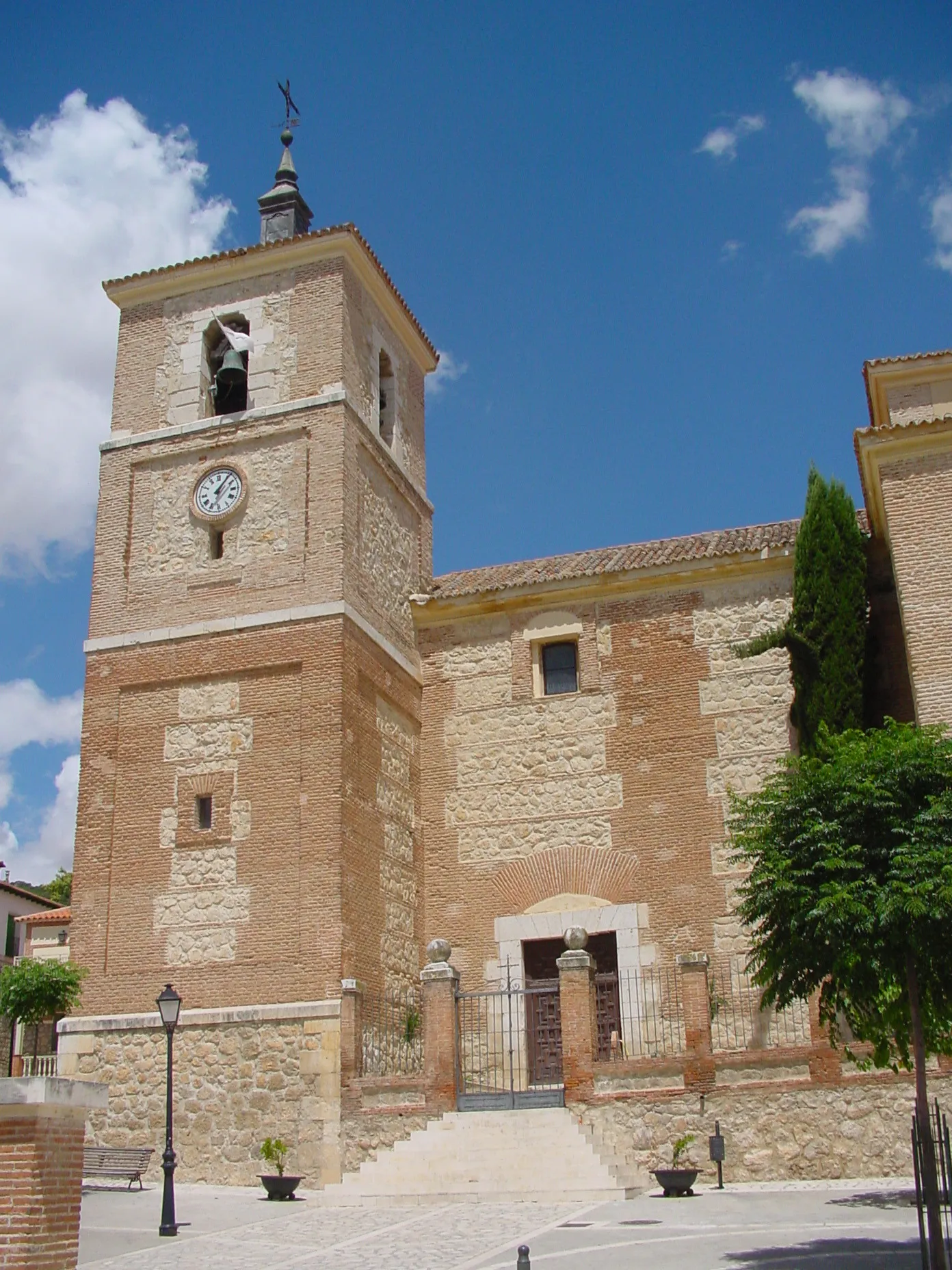
This round-trip cycling route starts in Campo Real and takes you through picturesque Spanish countryside, passing through Valdilecha and Belmonte de Tajo before reaching the stunning Mirador de la Iglesia. From there, the route continues to the historic town of Chinchón, known for its medieval square and traditional Spanish architecture. The overall beauty and cultural attractions along the way make this route highly enjoyable for cyclists of all levels.
Embark on a challenging road cycling adventure and discover the beauty of these Spanish towns.
This demanding road cycling route takes you from Campo Real to Torres de la Alameda, Santorcaz, Armuña de Tajuña, Renera, Loranca de Tajuña, Ambite, Orusco de Tajuña, and finally back to Valdilecha. With a combination of challenging climbs and stunning countryside views, this route offers a great workout for experienced cyclists. You will pass through various quaint towns, each with its own unique charm, allowing you to immerse yourself in the local culture and enjoy the country's unrivaled beauty.
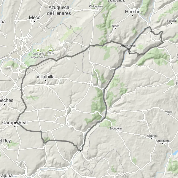
Ride from Campo Real to Daganzo de Arriba and back
Cycle from Campo Real to Daganzo de Arriba and back on this road route, covering a distance of 83 kilometers with an ascent of 845 meters. Enjoy a mix of pleasant roads and challenging climbs as you explore the beautiful countryside of Comunidad de Madrid. Along the way, you'll discover charming towns and cultural landmarks that add to the overall experience of this journey.
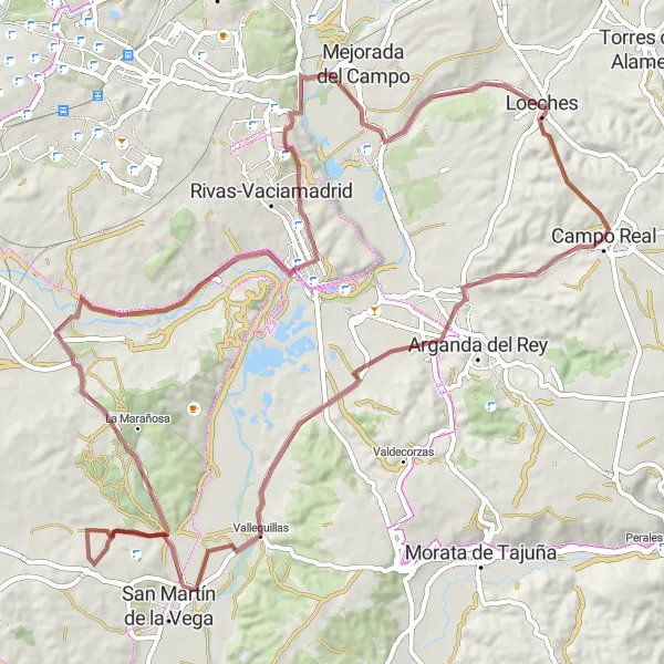
Campo Real - Pinto - Campo Real
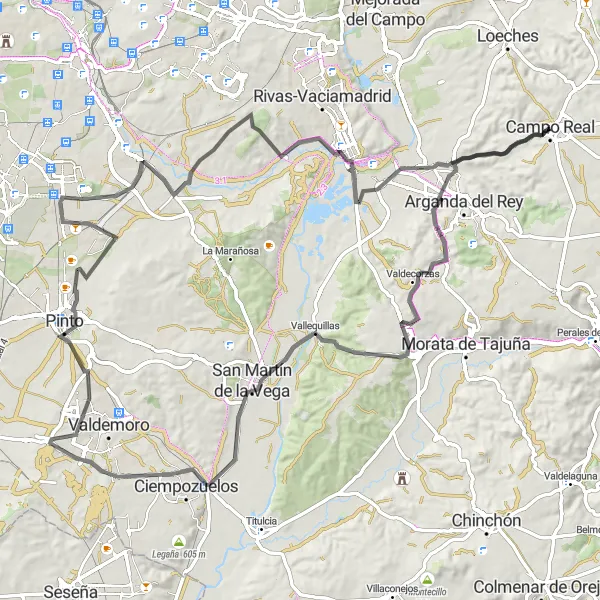
Ride from Campo Real to the town of Pinto and back
This scenic round-trip cycling route takes you from Campo Real to Pinto and back, covering a distance of 107 kilometers with a total ascent of 823 meters. The route passes through charming towns and picturesque landscapes, offering a mix of challenging climbs and enjoyable descents. Suitable for road bikes, this route provides a great opportunity to explore the natural beauty of Comunidad de Madrid.
Explore the countryside from Campo Real to Rivas de Jarama and back
Embark on this gravel route from Campo Real to Rivas de Jarama and back, covering a distance of 84 kilometers with an ascent of 739 meters. Enjoy the tranquility of the countryside as you cycle through rural landscapes and discover the historical towns along the way. This route provides an engaging mix of gravel paths and paved roads, showcasing the diverse beauty of Comunidad de Madrid.
Cycling routes nearby:


Nearby regions: