Discovering Valdemorillo
A gravel cycling route starting from Galapagar
Explore the scenic beauty and charm of Valdemorillo as you cycle through gravel roads
Map

This 72km gravel route starting near Galapagar takes you through picturesque landscapes and charming towns. As you ascend 880m, you'll be rewarded with stunning views and peaceful surroundings. The route is well-suited for experienced gravel cyclists.
gravel
72 km
880 m
Tough
Route profile
Highlights on the route
0 km
0 km
Start: Galapagar City centerGalapagar: Discover the scenic beauty and challenging climbs of Galapagar.
Galapagar is a town located in the Comunidad de Madrid region of Spain. From a cyclist's perspective, it offers a mix of rolling hills and challenging climbs, making it suitable for both road and gravel cycling. The surrounding countryside is also beautiful, with stunning views of the Sierra de Guadarrama mountains. One notable cycling spot in the area is the Puerto de la Cruz Verde, a well-known climb often used in local cycling events. Overall, Galapagar is a great destination for cyclists looking to explore scenic routes and enjoy challenging rides.14 km
14 km
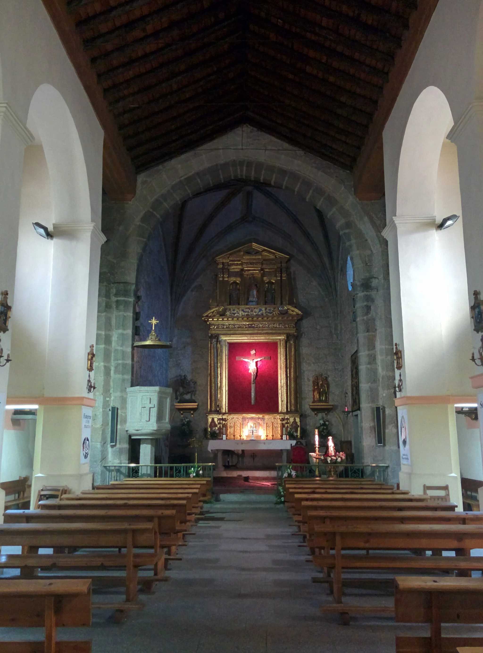
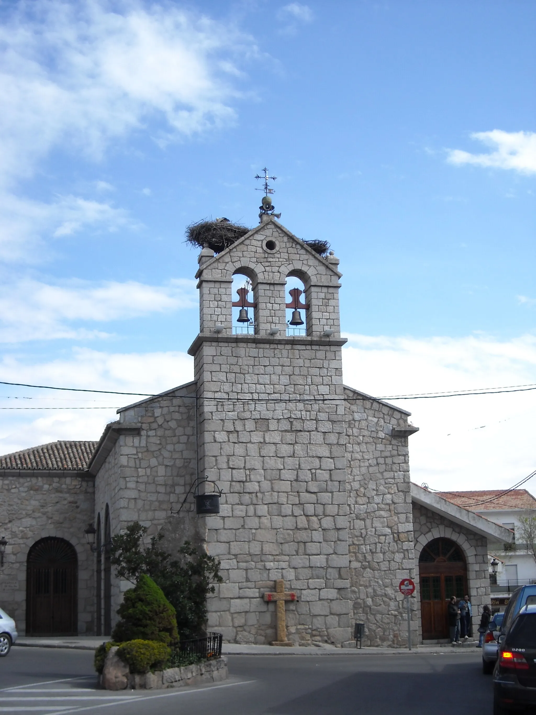
ValdemorilloTownIn the town of Valdemorillo, make sure to visit its beautiful church and enjoy the vibrant atmosphere of its historic center.
31 km
31 km
Colmenar del ArroyoVillageColmenar del Arroyo offers a peaceful escape from the city with its scenic landscape and traditional architecture.
40 km
40 km
Fresnedillas de la OlivaVillageFresnedillas de la Oliva is known for its olive oil production. Take some time to explore the olive groves and learn about the local production process.
64 km
64 km
Cerro de la Asunción977 mPeakCerro de la Asunción, the highest point in the area, offers panoramic views of the surrounding countryside and is a great spot to rest and take in the scenery.
72 km
72 km
Finish: Galapagar City centerGalapagar: Discover the scenic beauty and challenging climbs of Galapagar.
Cycling routes from Galapagar:
Galapagar - El Picazo - Hoyo de Manzanares - Puente del Grajal - Tres Cantos - Tambor - El Pardo - Puente Nuevo Gravel Wonderland Galapagar - Puente Nuevo - Urbanización El Berzalejo - Peña Bermeja Galapagar - Puente Nuevo - Mirador de Las Marías - Las Rozas de Madrid - Mirador del Cotoblanco - La Fortuna - Moraleja de Enmedio - Villaviciosa de Odón - Villanueva de la Cañada - Mirador de Valdemorillo - Pino Alto Galapagar - Navacerrada - Peña Pintada - Puerto de Cotos - Puente del Perdón - Resguardo de la Morcuera - Castilla Vista do de Manzanares - Collado Villalba Galapagar - Colmenarejo - Machota - Real Monasterio de San Lorenzo de El Escorial - Cerro de la Asunción Discovering Valdemorillo Majadahonda Adventure Challenging Navacerrada Road Cycling in Guadarrama
Cycling routes nearby: