Historical Gravel Route
A gravel cycling route starting from Getafe
Trace the historical paths through scenic landscapes on this gravel cycling route.
Map
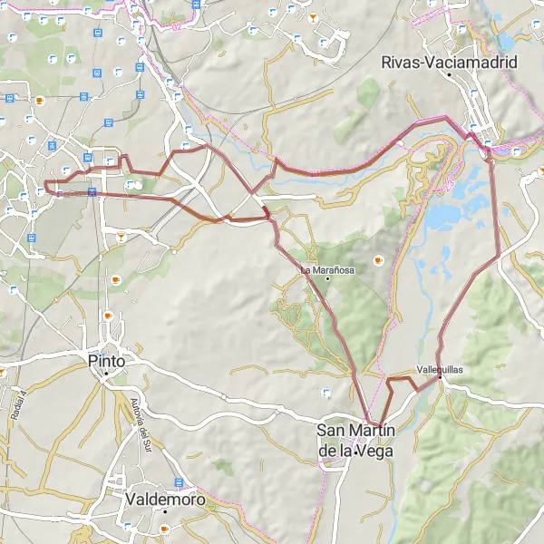
Follow in the footsteps of history on this gravel cycling route, passing through the historic towns and landmarks surrounding Madrid. With a moderate level of difficulty, this route is suitable for amateur cyclists interested in exploring the region's rich heritage. Highlights include Mirador Charlie Donnelly, where you can enjoy panoramic views of the picturesque surroundings, and Puente de Arganda, a historic bridge that has withstood the test of time. Vallequillas, home to charming traditional houses, and the vast bunker, add an intriguing touch to the historical journey. Enrich your knowledge of the region while immersing yourself in the stunning landscapes on this extraordinary gravel route.
gravel
62 km
288 m
Tough
Route profile
Highlights on the route
0 km
0 km
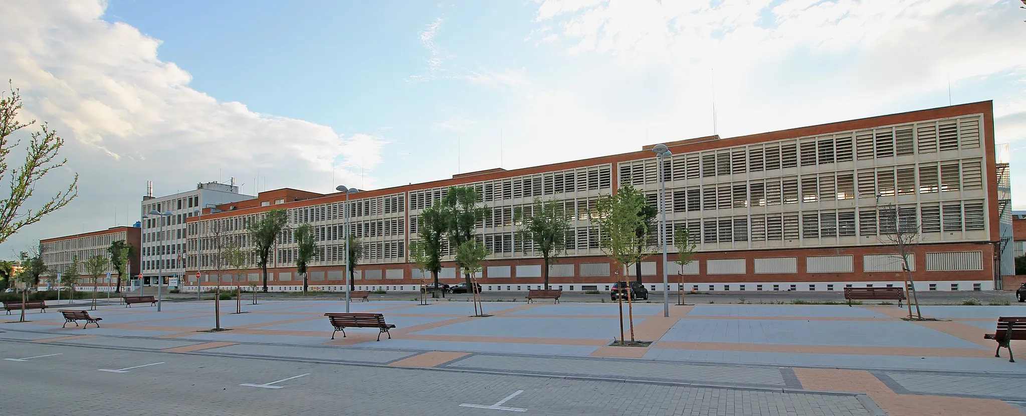
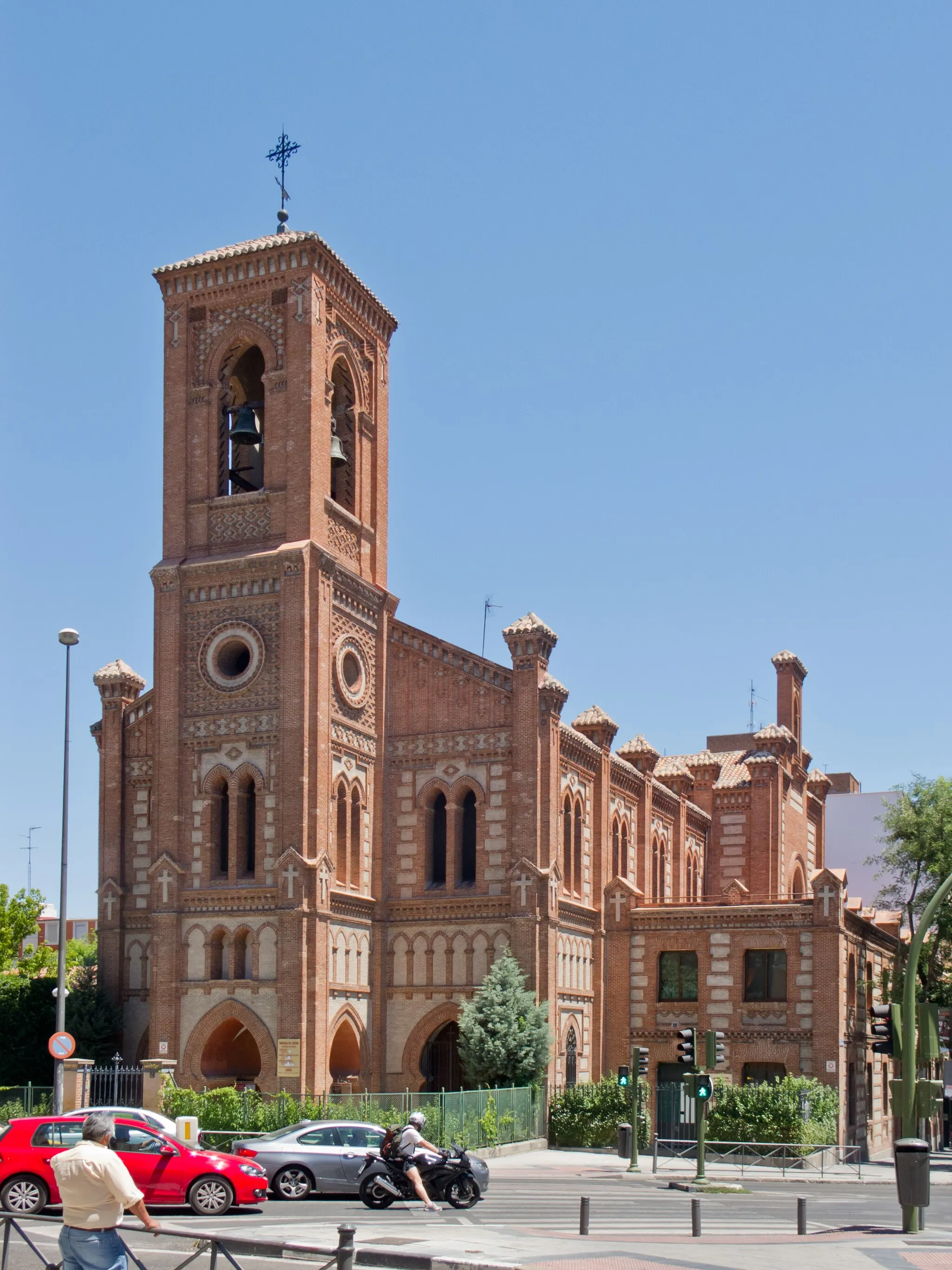
Start: Getafe City centerGetafe: Unleash your cycling potential in the heart of Comunidad de Madrid
Getafe is a locality situated in the Comunidad de Madrid region of Spain. From a cyclist's perspective, it offers great infrastructure for cycling, including bike lanes and dedicated paths. The town itself serves as an excellent starting point for exploring the breathtaking Sierra de Guadarrama Natural Park. Cyclists can take on iconic climbs such as Puerto de la Morcuera or the stunning Puerto de Navacerrada. With its convenient location and exceptional cycling options, Getafe is a fantastic base for road and gravel cyclists looking to discover one of Spain's most beautiful natural areas.9 km
9 km
Perales del RíoSub-urbPerales del Río is a quaint town offering a glimpse into the region's historical and cultural heritage.
24 km
24 km
Mirador Charlie DonnellyViewpointMirador Charlie Donnelly rewards cyclists with breathtaking panoramic views of the surrounding landscape.
26 km
26 km
Puente de ArgandaHamletPuente de Arganda, a historic bridge with architectural significance and a key landmark in the area.
35 km
35 km
VallequillasVillageVisit Vallequillas, a picturesque village with well-preserved traditional houses and charming streets.
58 km
58 km
búnkerCastle RuinsExplore the remains of a bunker, an intriguing reminder of the region's turbulent past.
58 km
58 km
Cerro de los Ángeles670 mPeakCerro de los Ángeles, a hill offering panoramic views and housing the famous monument to the Sacred Heart.
62 km
62 km
Finish: Getafe City centerGetafe: Unleash your cycling potential in the heart of Comunidad de Madrid
Cycling routes nearby: