![Cover image](https://images.tarmacs.app/cycling-routes/covers/spain/comunidad-de-madrid/mostoles-5.webp)
Relaxing cycling experiences in Móstoles
Cycling routes from Mostoles
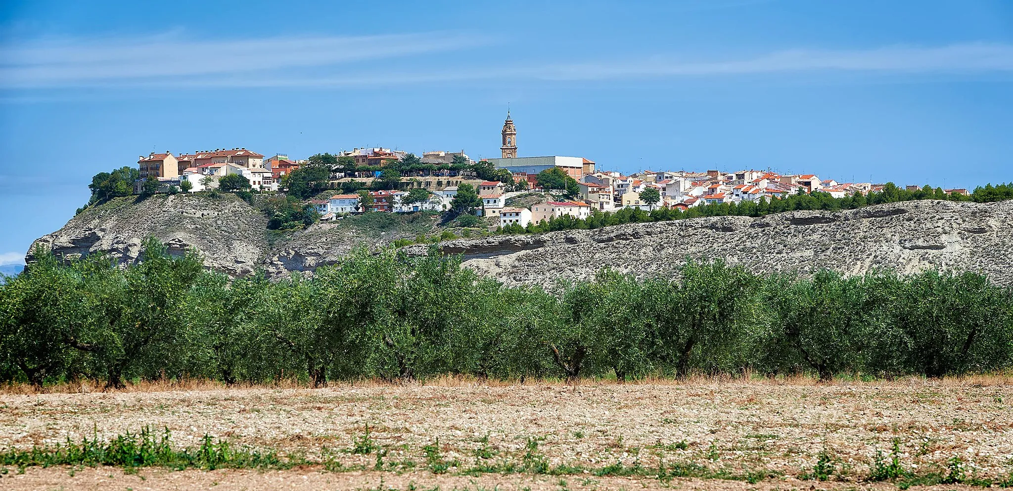
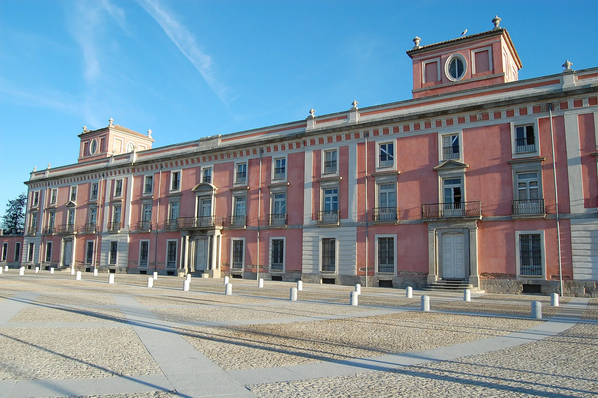
Móstoles is a locality in Comunidad de Madrid, Spain. It offers various cycling options, including road and gravel routes, but is more suited for recreational and leisure rides rather than intense training or challenging climbs. The roads in Móstoles are generally well-maintained, providing cyclists with a pleasant cycling experience. The locality is conveniently located near several parks, where cyclists can enjoy off-road trails and scenic paths. While Móstoles may not have any iconic cycling spots, it offers a leisurely and enjoyable cycling environment for enthusiasts.
![Map miniature of "Fuenlabrada Loop" cycling inspiration in Comunidad de Madrid, Spain. Generated by Tarmacs.app cycling route planner](https://images.tarmacs.app/cycling-routes/routemaps/600/spain/comunidad-de-madrid/mostoles/road/281389.webp)
Enjoy a scenic loop ride through the countryside near Fuenlabrada
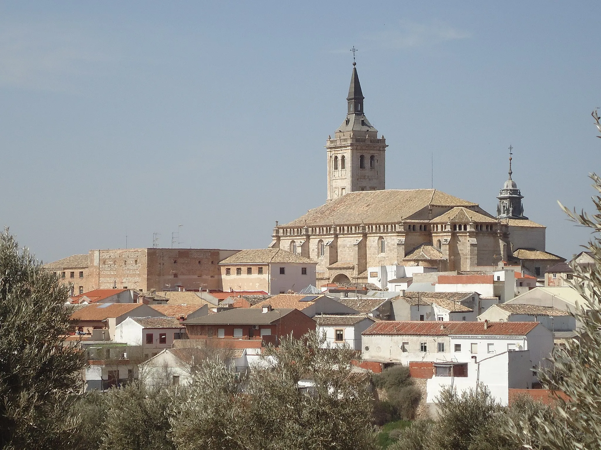
Discover the natural beauty of the countryside near Fuenlabrada on this road cycling loop. With a total distance of 43 kilometers and an ascent of 341 meters, this route offers a moderate challenge. Enjoy the peaceful landscapes and explore the charming villages along the way.
![Map miniature of "Alcorcón to Móstoles Gravel Route" cycling inspiration in Comunidad de Madrid, Spain. Generated by Tarmacs.app cycling route planner](https://images.tarmacs.app/cycling-routes/routemaps/600/spain/comunidad-de-madrid/mostoles/gravel/281426.webp)
Take on the challenge of this gravel route from Alcorcón to Móstoles.
This gravel cycling route offers a thrilling adventure from Alcorcón to Móstoles, with a distance of 56 kilometers and an ascent of 431 meters. Suitable for gravel bike enthusiasts, this route includes highlights such as Alcorcón and Mirador de Parquesur, providing opportunities to explore both urban and natural attractions.
![Map miniature of "Torreón de Arroyomolinos Gravel Ride" cycling inspiration in Comunidad de Madrid, Spain. Generated by Tarmacs.app cycling route planner](https://images.tarmacs.app/cycling-routes/routemaps/600/spain/comunidad-de-madrid/mostoles/gravel/281394.webp)
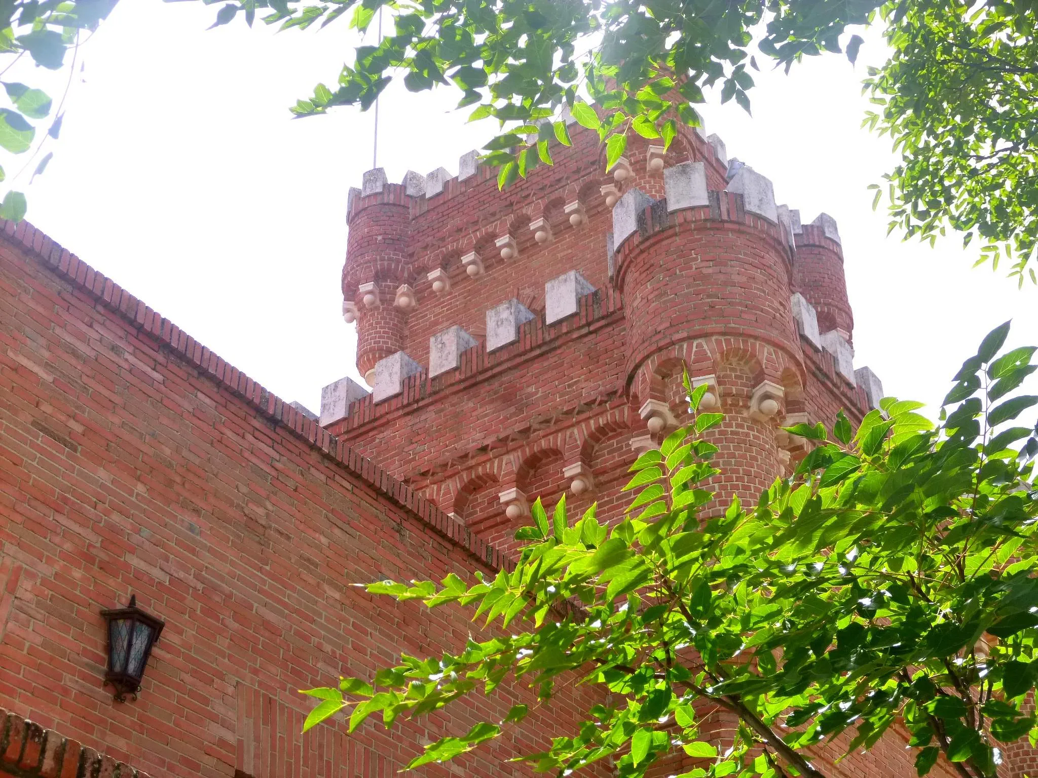
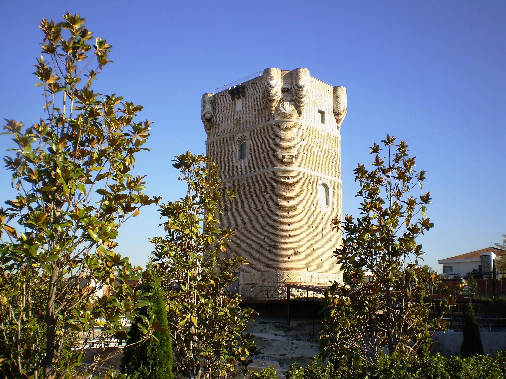
Embark on a thrilling gravel ride to the impressive Torreón de Arroyomolinos
This challenging gravel route takes you to the Torreón de Arroyomolinos, a historic tower with stunning views. With a total distance of 47 kilometers and an ascent of 510 meters, this route is recommended for experienced cyclists. Discover the rich history and natural beauty of the area.
![Map miniature of "Villaviciosa de Odón to Móstoles Gravel Route" cycling inspiration in Comunidad de Madrid, Spain. Generated by Tarmacs.app cycling route planner](https://images.tarmacs.app/cycling-routes/routemaps/600/spain/comunidad-de-madrid/mostoles/gravel/281307.webp)
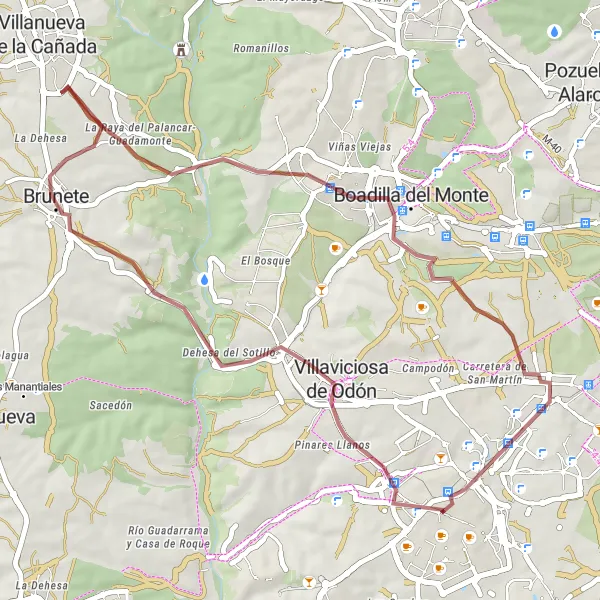
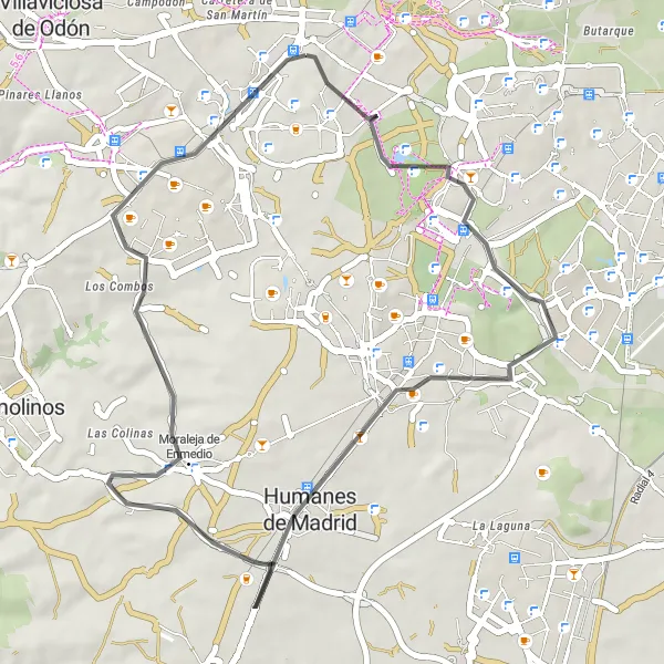
Embark on an adventurous gravel route from Villaviciosa de Odón to Móstoles.
This gravel cycling route takes you from Villaviciosa de Odón to Móstoles, offering scenic views and challenging terrains. With a distance of 47 kilometers and an ascent of 414 meters, this route is suitable for gravel bike enthusiasts. Highlights along the way include Villaviciosa de Odón and Boadilla del Monte, providing opportunities to explore historical and natural attractions.
![Map miniature of "Leganés to Móstoles Cycling Route" cycling inspiration in Comunidad de Madrid, Spain. Generated by Tarmacs.app cycling route planner](https://images.tarmacs.app/cycling-routes/routemaps/600/spain/comunidad-de-madrid/mostoles/road/281399.webp)
Explore the picturesque towns of Leganés and Móstoles on this road cycling route.
This road cycling route takes you through the scenic towns of Leganés and Móstoles, allowing you to explore the beautiful countryside of Comunidad de Madrid. The route covers a distance of 97 kilometers and includes a total ascent of 523 meters. With highlights such as Leganés and Perales del Río along the way, this route offers a combination of cultural and natural attractions.
![Map miniature of "Navalcarnero Loop" cycling inspiration in Comunidad de Madrid, Spain. Generated by Tarmacs.app cycling route planner](https://images.tarmacs.app/cycling-routes/routemaps/600/spain/comunidad-de-madrid/mostoles/road/281372.webp)
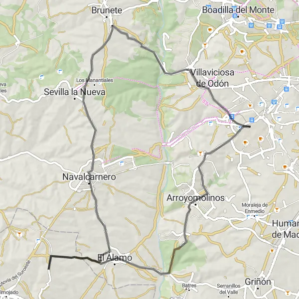
Discover the charm of Navalcarnero on this scenic cycling route
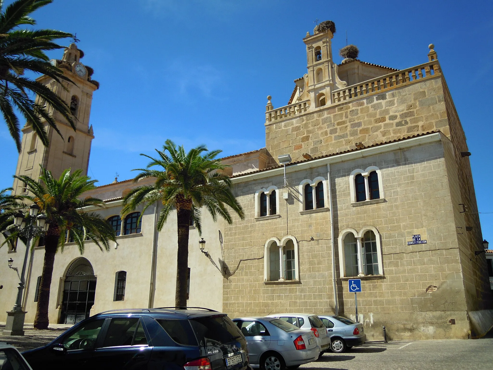
Explore the picturesque town of Navalcarnero and its surrounding countryside on this road cycling loop. The route offers a moderate challenge with a total ascent of 539 meters over a distance of 68 kilometers. Enjoy the beautiful landscapes and historic highlights along the way.
![Map miniature of "Boadilla del Monte to Móstoles Gravel Route" cycling inspiration in Comunidad de Madrid, Spain. Generated by Tarmacs.app cycling route planner](https://images.tarmacs.app/cycling-routes/routemaps/600/spain/comunidad-de-madrid/mostoles/gravel/281341.webp)
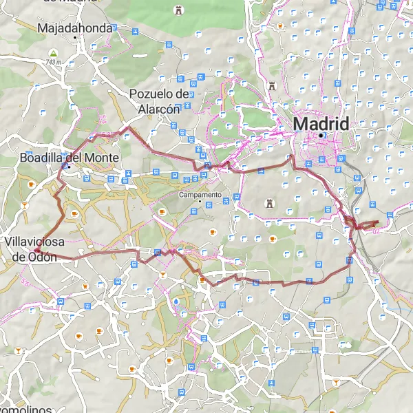
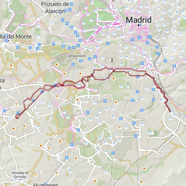
Embark on an epic gravel cycling adventure from Boadilla del Monte to Móstoles.
This gravel cycling route takes you on an epic adventure from Boadilla del Monte to Móstoles, covering a distance of 63 kilometers and an ascent of 561 meters. Designed for experienced gravel cyclists, this route offers a combination of challenging terrains and stunning landscapes. Highlights along the way include Cerro de la Mica and Latina, providing opportunities to explore natural and cultural attractions.
Majadahonda Gravel Adventure
![Map miniature of "Majadahonda Gravel Adventure" cycling inspiration in Comunidad de Madrid, Spain. Generated by Tarmacs.app cycling route planner](https://images.tarmacs.app/cycling-routes/routemaps/600/spain/comunidad-de-madrid/mostoles/gravel/281323.webp)
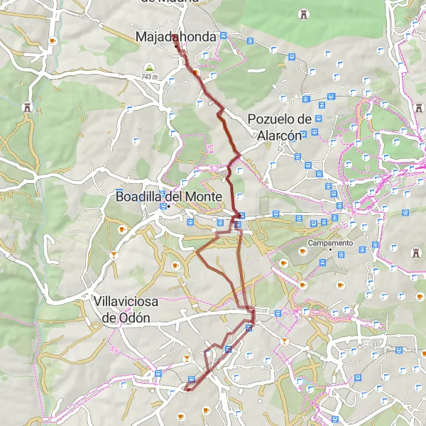
Embark on an exciting gravel adventure through the stunning countryside near Majadahonda
Experience the thrill of off-road cycling on this gravel route near Majadahonda. With a total distance of 47 kilometers and an ascent of 296 meters, this route is suitable for intermediate cyclists. Enjoy the diverse landscapes and discover hidden gems along the way.
![Map miniature of "Madrid Panorama Road Trip" cycling inspiration in Comunidad de Madrid, Spain. Generated by Tarmacs.app cycling route planner](https://images.tarmacs.app/cycling-routes/routemaps/600/spain/comunidad-de-madrid/mostoles/road/281331.webp)
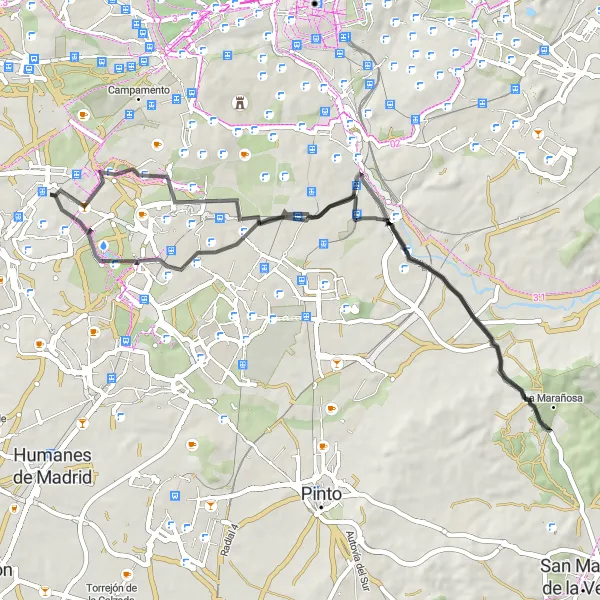
Explore the scenic beauty and impressive landmarks of Madrid on this road trip
Embark on a road trip that takes you through the outskirts of Madrid and offers breathtaking views of the city's skyline. With a total distance of 107 kilometers and an ascent of 807 meters, this challenging route is suitable for experienced cyclists. Discover the hidden gems and iconic landmarks along the way.
![Map miniature of "La Fortuna to Móstoles Cycling Route" cycling inspiration in Comunidad de Madrid, Spain. Generated by Tarmacs.app cycling route planner](https://images.tarmacs.app/cycling-routes/routemaps/600/spain/comunidad-de-madrid/mostoles/road/281322.webp)
Embark on an exciting road cycling adventure from La Fortuna to Móstoles.
This road cycling route takes you from La Fortuna to Móstoles, offering breathtaking views and challenging terrains. With a distance of 62 kilometers and an ascent of 448 meters, this route is suitable for well-trained amateur cyclists. Highlights along the way include La Fortuna and Perales del Río, providing opportunities to explore historical and cultural attractions.
Cycling routes nearby:
![Image of Alcorcón](https://images.tarmacs.app/cycling-routes/covers/spain/comunidad-de-madrid/alcorcon-5.webp)
![Image of Villaviciosa de Odón](https://images.tarmacs.app/cycling-routes/covers/spain/comunidad-de-madrid/villaviciosa-de-odon-4.webp)
![Image of Moraleja de Enmedio](https://images.tarmacs.app/cycling-routes/covers/spain/comunidad-de-madrid/moraleja-de-enmedio-4.webp)
![Image of Fuenlabrada](https://images.tarmacs.app/cycling-routes/covers/spain/comunidad-de-madrid/fuenlabrada-4.webp)
![Image of Arroyomolinos](https://images.tarmacs.app/cycling-routes/covers/spain/comunidad-de-madrid/arroyomolinos-4.webp)
![Image of Humanes de Madrid](https://images.tarmacs.app/cycling-routes/covers/spain/comunidad-de-madrid/humanes-de-madrid-4.webp)
![Image of Leganés](https://images.tarmacs.app/cycling-routes/covers/spain/comunidad-de-madrid/leganes-1.webp)
![Image of Boadilla del Monte](https://images.tarmacs.app/cycling-routes/covers/spain/comunidad-de-madrid/boadilla-del-monte-1.webp)
![Image of Getafe](https://images.tarmacs.app/cycling-routes/covers/spain/comunidad-de-madrid/getafe-5.webp)
Nearby regions:
![Image of País Vasco](https://images.tarmacs.app/cycling-routes/covers/spain/pais-vasco/algorta-5.webp)
![Image of Comunidad Foral de Navarra](https://images.tarmacs.app/cycling-routes/covers/spain/comunidad-foral-de-navarra/lerin-5.webp)
![Image of La Rioja](https://images.tarmacs.app/cycling-routes/covers/spain/la-rioja/aldeanueva-de-ebro-1.webp)
![Image of Aragón](https://images.tarmacs.app/cycling-routes/covers/spain/aragon/binefar-3.webp)
![Image of Castilla y León](https://images.tarmacs.app/cycling-routes/covers/spain/castilla-y-leon/villaturiel-5.webp)
![Image of Castilla-La Mancha](https://images.tarmacs.app/cycling-routes/covers/spain/castilla-la-mancha/huerta-de-valdecarabanos-3.webp)
![Image of Extremadura](https://images.tarmacs.app/cycling-routes/covers/spain/extremadura/fuente-de-cantos-5.webp)
![Image of Comunitat Valenciana](https://images.tarmacs.app/cycling-routes/covers/spain/comunitat-valenciana/guadassuar-2.webp)
![Image of Andalucía](https://images.tarmacs.app/cycling-routes/covers/spain/andalucia/guillena-4.webp)