Valdetorres de Jarama - Fuente el Saz de Jarama Road Ride
A road cycling route starting from Valdetorres de Jarama
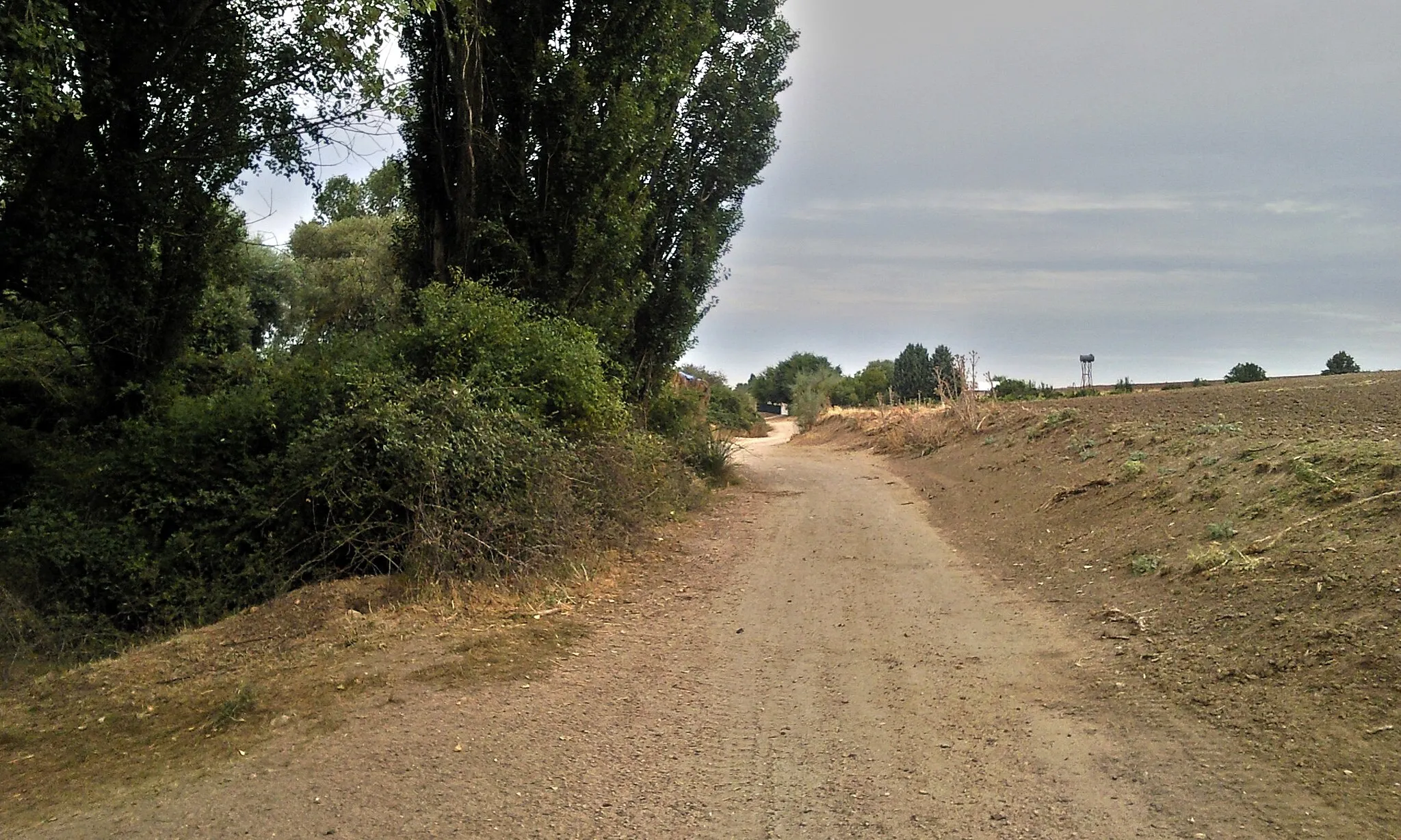
Road ride to Fuente el Saz de Jarama with picturesque views
Map
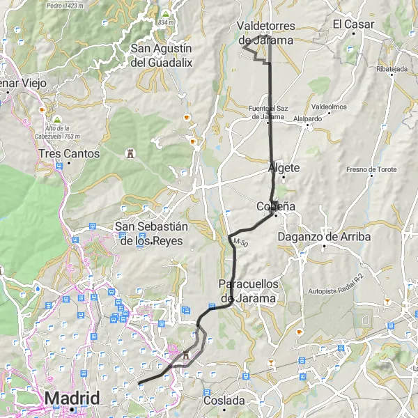
Enjoy the picturesque roads and charming countryside on this 79-kilometer road ride starting near Valdetorres de Jarama. With an ascent of 520 meters, this route is suitable for intermediate cyclists. The highlight of this route is Fuente el Saz de Jarama, a scenic town known for its beautiful landscapes and traditional Spanish architecture.
road
79 km
520 m
Tough
Route profile
Highlights on the route
0 km
0 km
Start: Valdetorres de Jarama City centerValdetorres de Jarama: A Scenic Cycling Paradise in Comunidad de Madrid
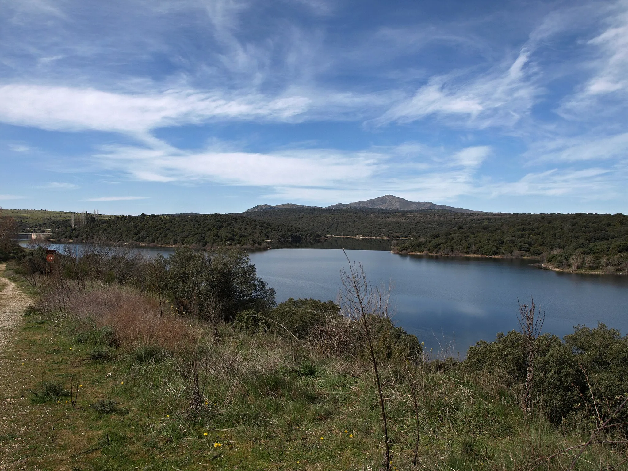
Valdetorres de Jarama, situated in the Comunidad de Madrid region of Spain, is a charming locality that attracts cyclists looking for both peaceful rides and challenging climbs. With its well-paved roads and scenic landscapes, it provides an ideal environment for road cycling. The nearby Jarama River offers a picturesque backdrop as you pedal through the countryside. One of the notable cycling routes near Valdetorres de Jarama is the climb to Puerto de Canencia, a well-known destination for cyclists seeking a challenging ascent. Additionally, the locality offers gravel cycling options with its network of trails and paths. Overall, Valdetorres de Jarama is a delightful destination for cyclists of all levels.7 km
7 km
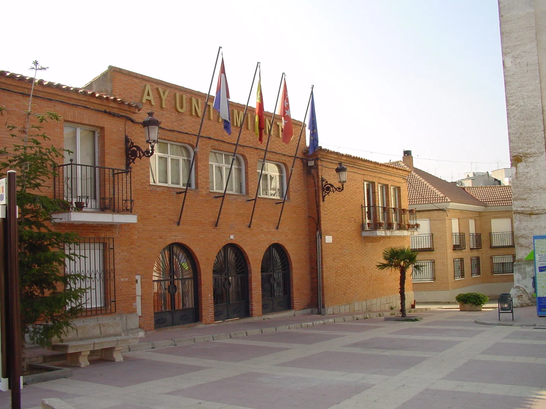
Fuente el Saz de JaramaVillageFuente el Saz de Jarama, located only 7 kilometers into the ride, is a delightful town with historic buildings and a vibrant atmosphere, perfect for a quick stop and exploration.
29 km
29 km
Mirador Barajas T4ViewpointMirador Barajas T4, at the 29-kilometer mark, offers stunning views of the surrounding countryside and the chance to spot airplanes landing and taking off at the nearby airport.
35 km
35 km
CanillejasSub-urbCanillejas, located at the 35-kilometer mark, is a lively neighborhood with a vibrant food scene and beautiful parks, making it a great place to take a break and refuel.
44 km
44 km
BarajasSub-urbBarajas, at the 44-kilometer mark, is a bustling town with modern amenities and a vibrant atmosphere, providing an ideal spot for a quick break during the ride.
60 km
60 km
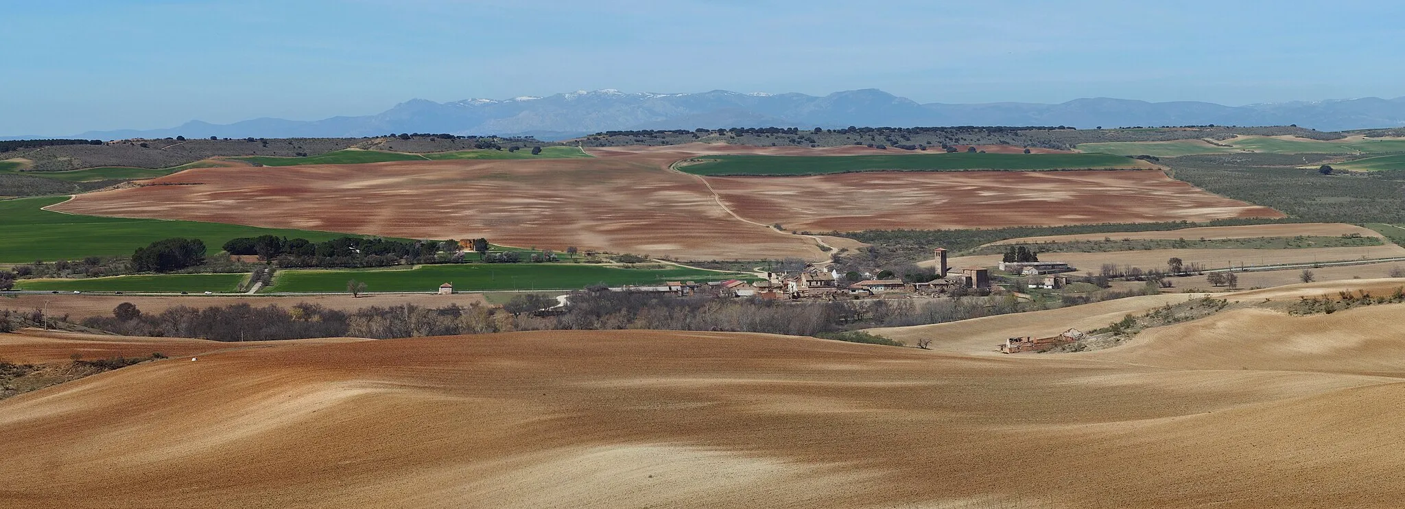
CobeñaTownCobeña, located at the 60-kilometer mark, is a small town with a rich history and picturesque landscapes, making it a perfect spot to relax and soak in the surroundings.
61 km
61 km
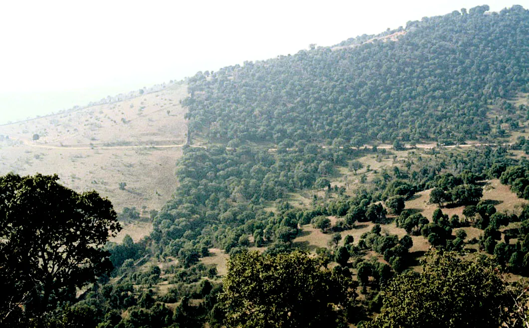
Cerro del Castillo749 mPeakCerro del Castillo, known for its archaeological remains and panoramic views, is a highlight of this route at the 61-kilometer mark.
79 km
79 km
Finish: Valdetorres de Jarama City centerValdetorres de Jarama: A Scenic Cycling Paradise in Comunidad de Madrid
Cycling routes from Valdetorres de Jarama:
Valdetorres de Jarama - Valdepiélagos Loop Valdetorres de Jarama - Valdepiélagos Gravel Loop Jarama Valley Loop Jarama Gravel Adventure Jarama Cultural Road Trip Henares Forest Gravel Ride Jarama Gravel Adventure Valdetorres de Jarama - Fuente el Saz de Jarama Road Ride Valdetorres de Jarama - Atalaya de El Vellón Valdetorres de Jarama - Talamanca de Jarama Route
Cycling routes nearby: