Gravel adventure through Quijorna and Cerro Alarcón
A gravel cycling route starting from Villanueva de la Canada
Embark on a thrilling gravel adventure through Quijorna and Cerro Alarcón
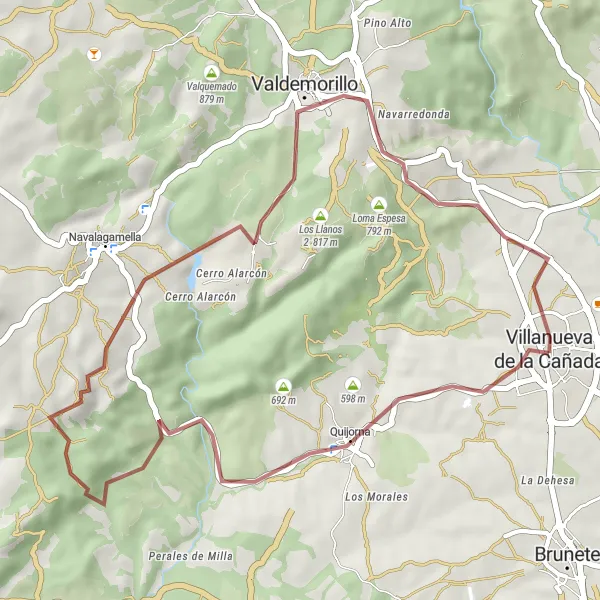
Map
This gravel cycling route takes you through rugged terrain and scenic landscapes near Quijorna and Cerro Alarcón. You will experience challenging off-road sections, breathtaking views, and cultural highlights along the way. The difficulty level of this route is rated as moderate, suitable for well-trained amateur cyclists. The epicness of this route is rated as a 4, offering a thrilling gravel adventure with some unforgettable moments.
gravel
38 km
535 m
Tough
Route profile
Highlights on the route
0 km
0 km
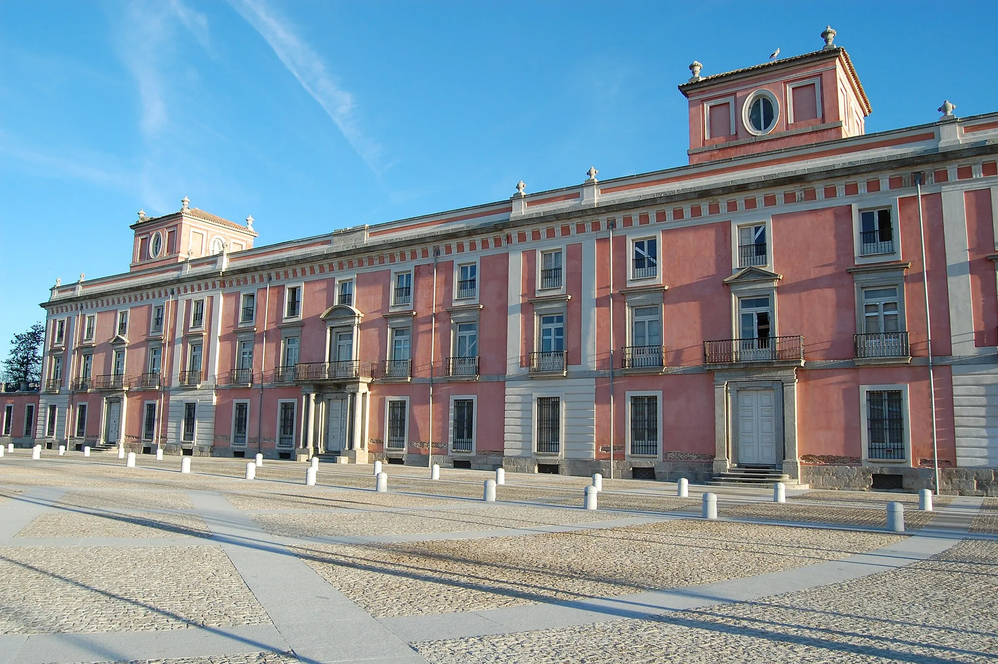
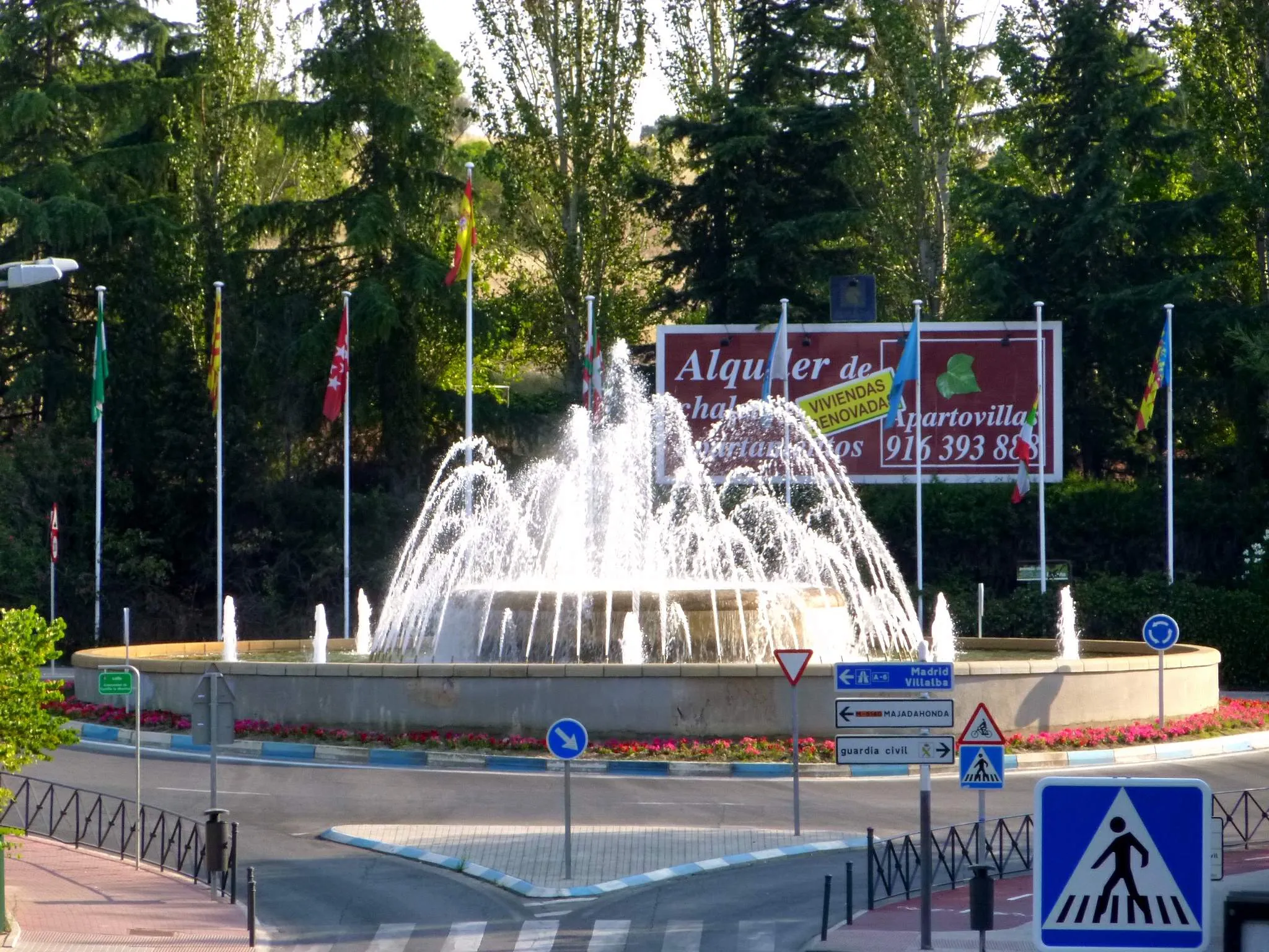
Start: Villanueva de la Cañada City centerVillanueva de la Cañada: Cycling-Friendly Locality in Comunidad de Madrid
Villanueva de la Cañada, situated in Comunidad de Madrid region of Spain, is a cyclist's haven. The locality offers a great cycling-related infrastructure with well-maintained roads and dedicated cycling paths. Scenic landscapes, including rolling hills and expansive countryside, make Villanueva de la Cañada an ideal destination for both road and gravel cyclists. Nearby, cyclists can explore Puerto de Navacerrada, a well-known climb frequently featured in the Vuelta a España. With its favorable cycling conditions and access to famous climbs, Villanueva de la Cañada attracts both local and international cyclists.5 km
5 km
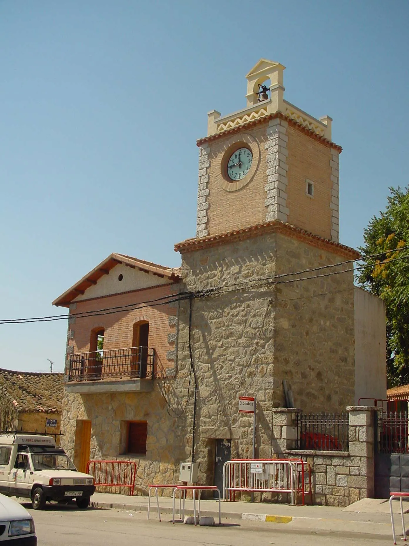
QuijornaVillageQuijorna is a charming village known for its traditional architecture and peaceful surroundings
24 km
24 km
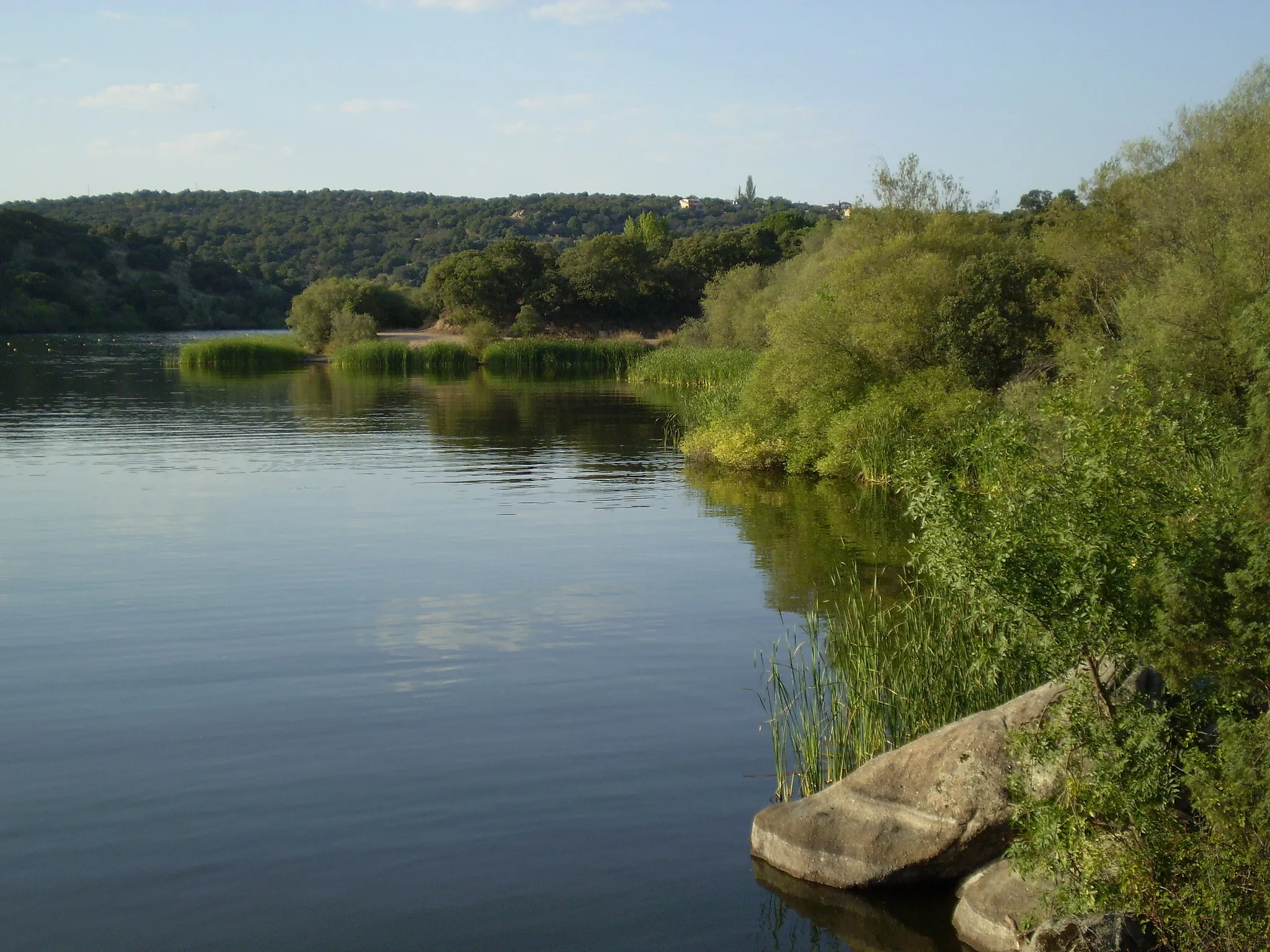
Cerro AlarcónSub-urbCerro Alarcón offers a challenging climb and rewarding views of the surrounding countryside
30 km
30 km
PuentelasierraSub-urbPuentelasierra is a picturesque spot with a beautiful bridge and tranquil atmosphere
32 km
32 km
Loma Espesa792 mPeakLoma Espesa is a hidden gem with stunning panoramic vistas
38 km
38 km
Finish: Villanueva de la Cañada City centerVillanueva de la Cañada: Cycling-Friendly Locality in Comunidad de Madrid
Cycling routes from Villanueva de la Canada:
Scenic road route from Villanueva de la Cañada to Las Rozas Circular route through Villanueva de la Cañada and surroundings Gravel adventure through Quijorna and Cerro Alarcón Gravel loop from Villanueva de la Cañada to Villanueva del Pardillo Chapinería Gravel Adventure Exploring the Western Countryside Majadahonda Circuit Challenging road ride through Majadahonda and Boadilla del Monte Gravel Adventure Loop Scenic Road Tour
Cycling routes nearby: