Villaverde to Castillo de Puñoenrostro Gravel Route
A gravel cycling route starting from Villaverde
Embark on an exciting gravel adventure from Villaverde to Castillo de Puñoenrostro.
Map

With a distance of 92 km and an ascent of 609 m, this gravel route offers a mix of urban and rural scenery. Highlights along the route include Villaverde, Pinto, and the impressive Castillo de Puñoenrostro.
gravel
92 km
609 m
Chill
Route profile
Highlights on the route
0 km
0 km
Start: Locality centerVillaverde: Explore the diverse cycling routes around Villaverde in Comunidad de Madrid.
Villaverde is a district located in Comunidad de Madrid, Spain. While Villaverde may not be primarily known for its cycling infrastructure, it provides access to numerous cycling routes in the surrounding Comunidad de Madrid region. Nearby, the Casa de Campo offers extensive cycling paths and trails through its expansive park. The flat terrain in and around Villaverde is suitable for leisurely rides and family outings. For more challenging cycling experiences, the Sierra de Guadarrama mountain range presents legendary climbs and demanding routes. While Villaverde itself may not be a renowned cycling spot, it allows cyclists to explore the wider cycling possibilities in the area.0 km
0 km
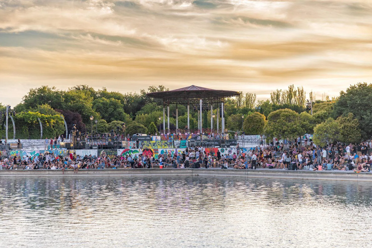
VillaverdeSub-urbStart your journey in Villaverde, a vibrant neighborhood in Madrid.
23 km
23 km
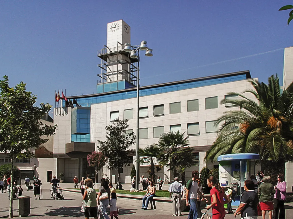
PintoTownExplore the charming town of Pinto, known for its historical heritage and beautiful landscapes.
42 km
42 km
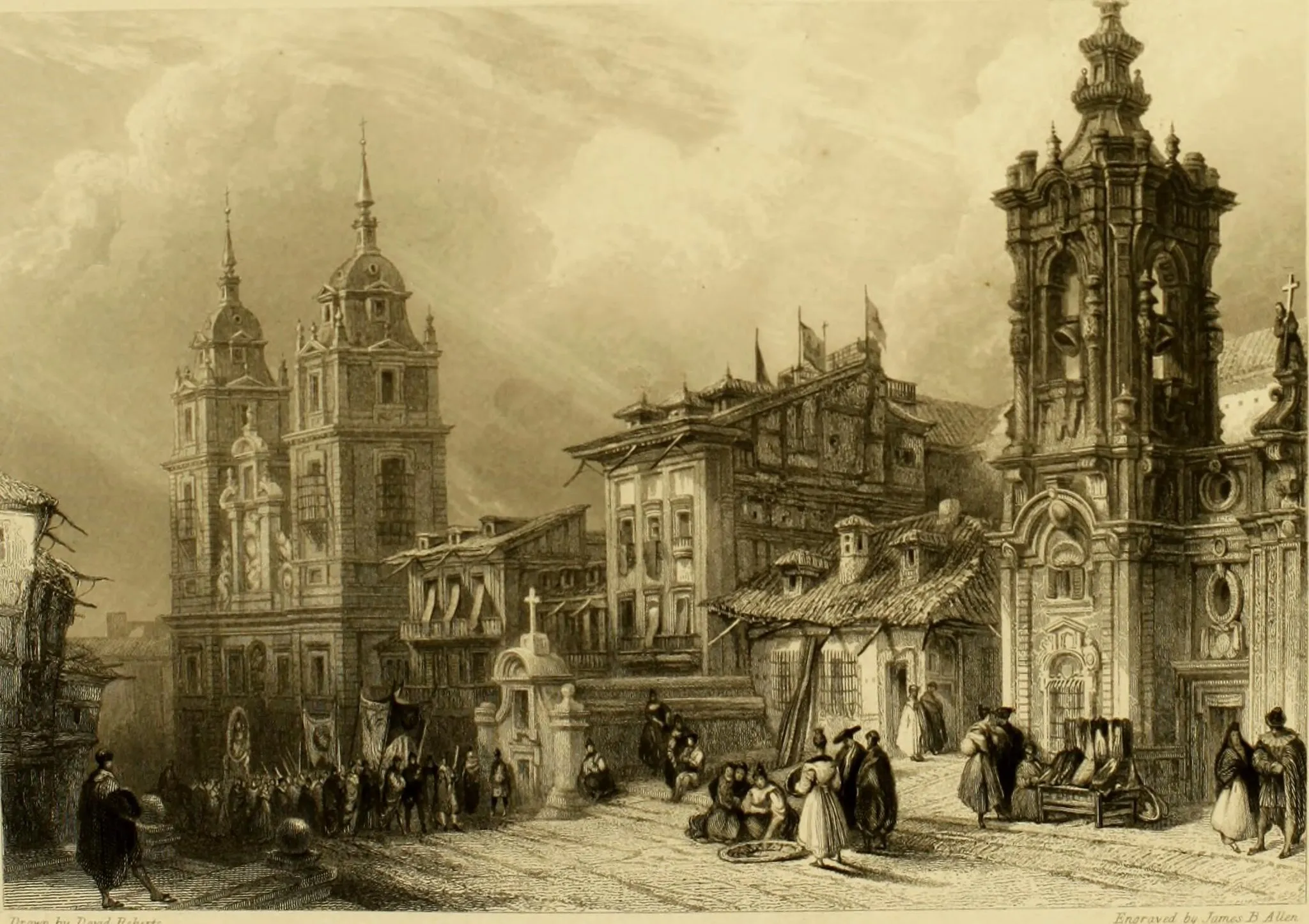
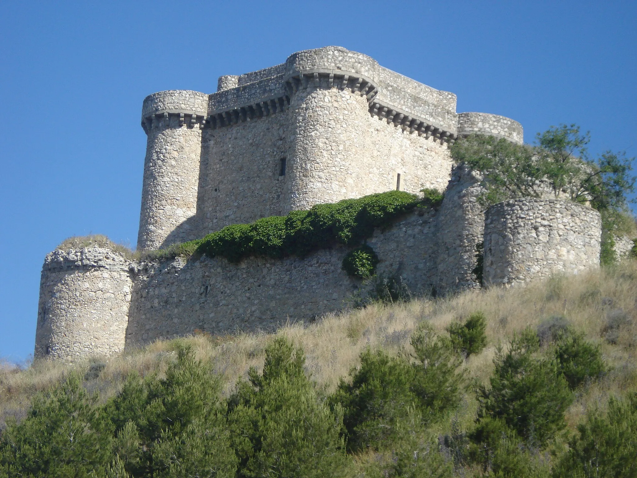
Castillo de PuñoenrostroCastleMarvel at the majestic Castillo de Puñoenrostro, a castle with a rich history and stunning architecture.
61 km
61 km
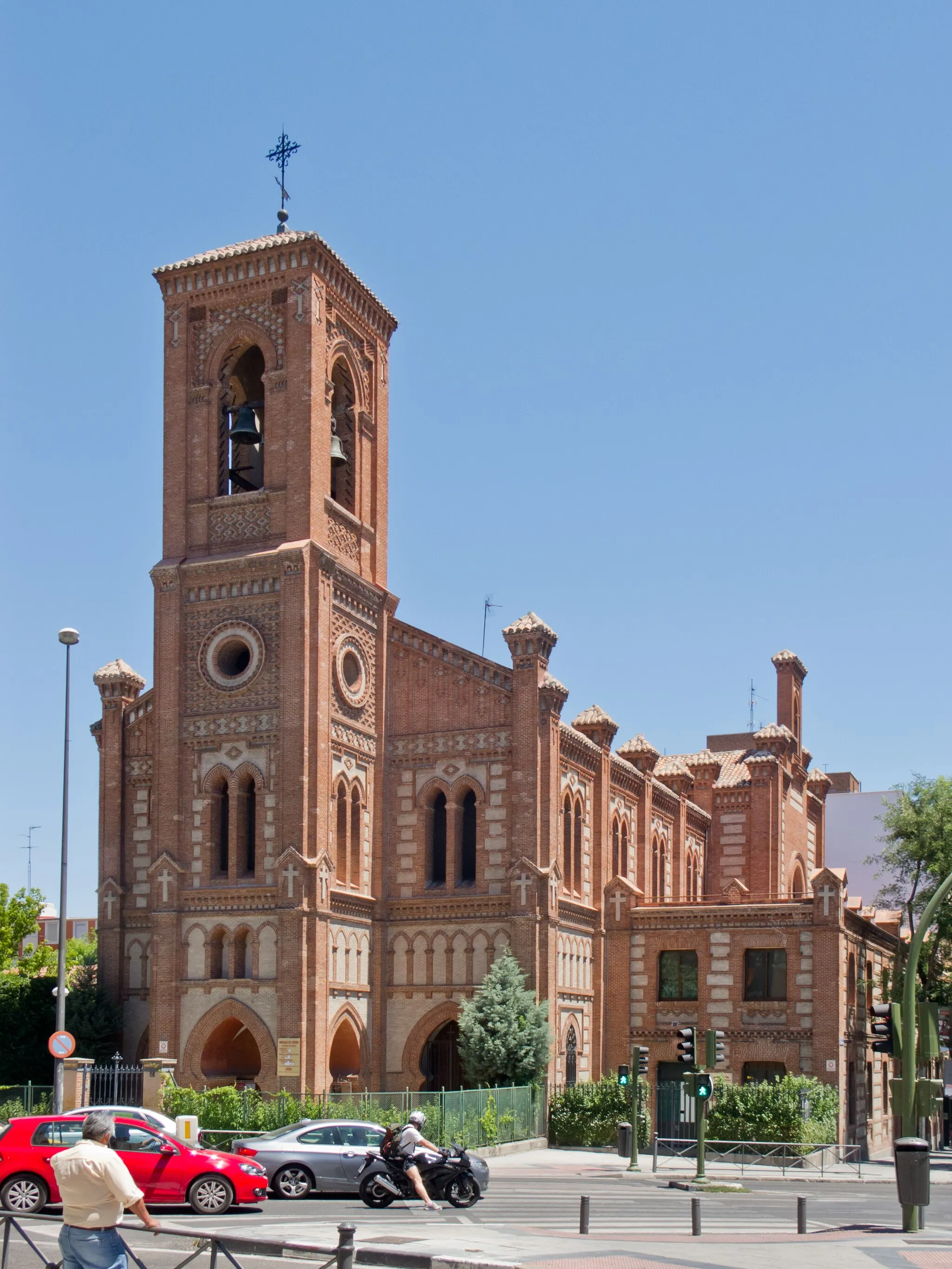
CasarrubuelosVillagePass through Casarrubuelos, a traditional Spanish village with scenic surroundings.
83 km
83 km
Vereda de los EstudiantesSub-urbCycling along Vereda de los Estudiantes, you'll enjoy picturesque views of nature.
91 km
91 km
Villaverde AltoSub-urbAt Villaverde Alto, experience the thrill of reaching an elevated point offering panoramic city views.
92 km
92 km
Finish: Locality centerVillaverde: Explore the diverse cycling routes around Villaverde in Comunidad de Madrid.
Cycling routes from Villaverde:
Through Gravel Roads to Scenic Villages Villaverde to San Martín de la Vega Villaverde to Canillejas Villaverde to Mirador de Tierno Galván Villaverde to Alcobendas The Matadero Bridge and the Villaverde Alto Challenge Villaverde to Castillo de Puñoenrostro Gravel Route Villaverde to Majadahonda Villaverde to Chinchón Circuit Exploring the Countryside and Historic Landmarks
Cycling routes nearby: