Hills and Charming Villages
A road cycling route starting from Cullera
Discover the beauty of the hills and explore charming villages
Map
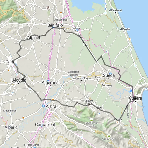
This round-trip cycling route offers a mix of natural and cultural attractions. The route takes you through the hilly landscapes surrounding Cullera and features visits to charming villages with historical landmarks. The difficulty level is moderate to challenging, with a total ascent of 232 meters over a distance of 73 kilometers. The epicness level of this route is rated 3 out of 5.
road
73 km
232 m
Tough
Route profile
Highlights on the route
0 km
0 km
Start: Cullera City centerCullera: Discovering the coastal beauty of Cullera while cycling.
Cullera is a locality in the Comunitat Valenciana region of Spain. As a cyclist, Cullera offers a mix of flat coastal roads and hilly inland routes, providing a variety of options for road and gravel cycling. The town is known for its picturesque views of the Mediterranean Sea, making it a popular destination for tourists and cyclists alike. Notable cycling spots near Cullera include the climb up to the Cullera Castle, which offers stunning panoramic views of the surrounding area. With its scenic beauty and cycling-friendly atmosphere, Cullera is a great place to explore on two wheels.0 km
0 km
CulleraTownCullera is a coastal town known for its beautiful beaches and castle. Enjoy the stunning views of the Mediterranean Sea.
10 km
10 km
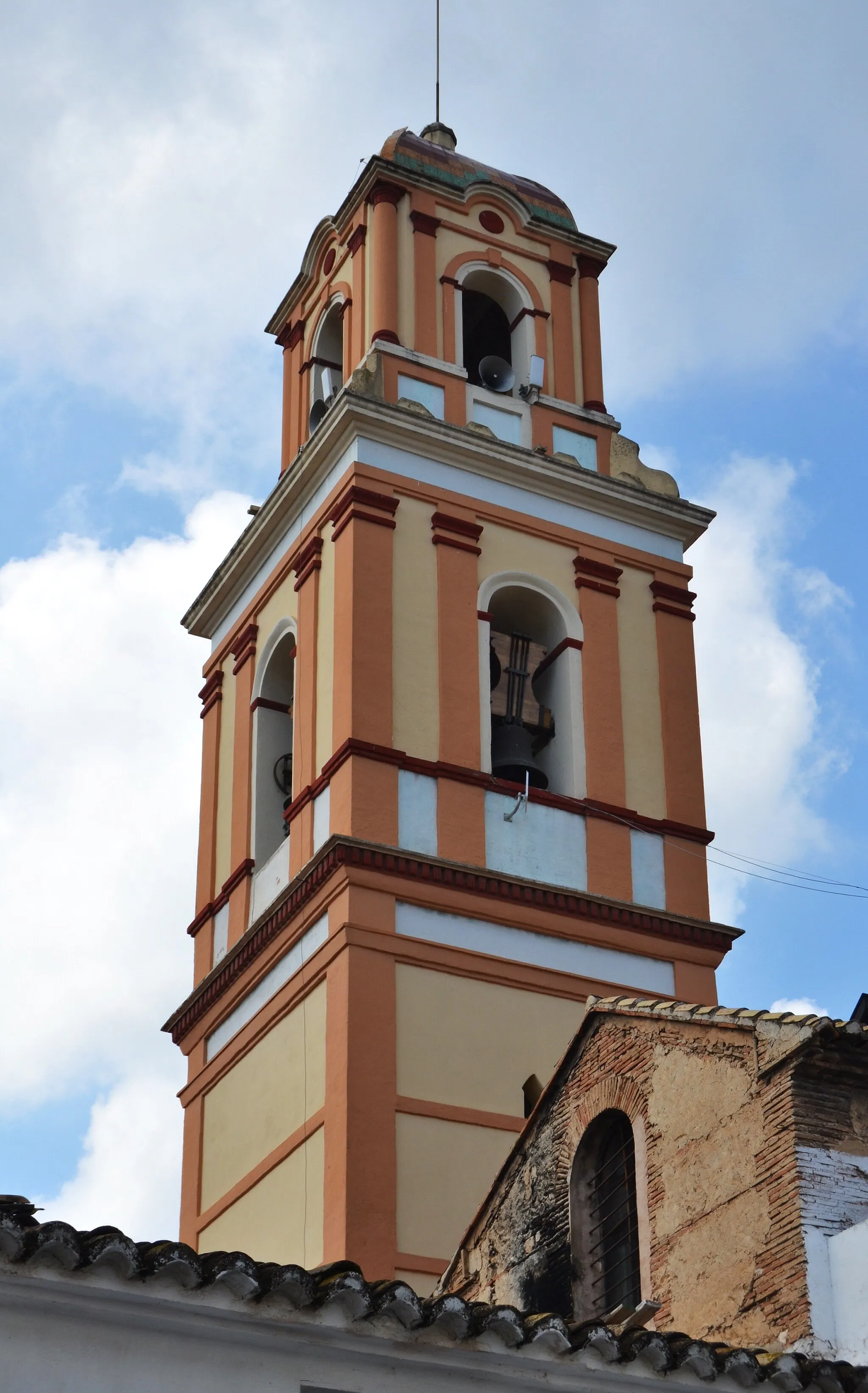
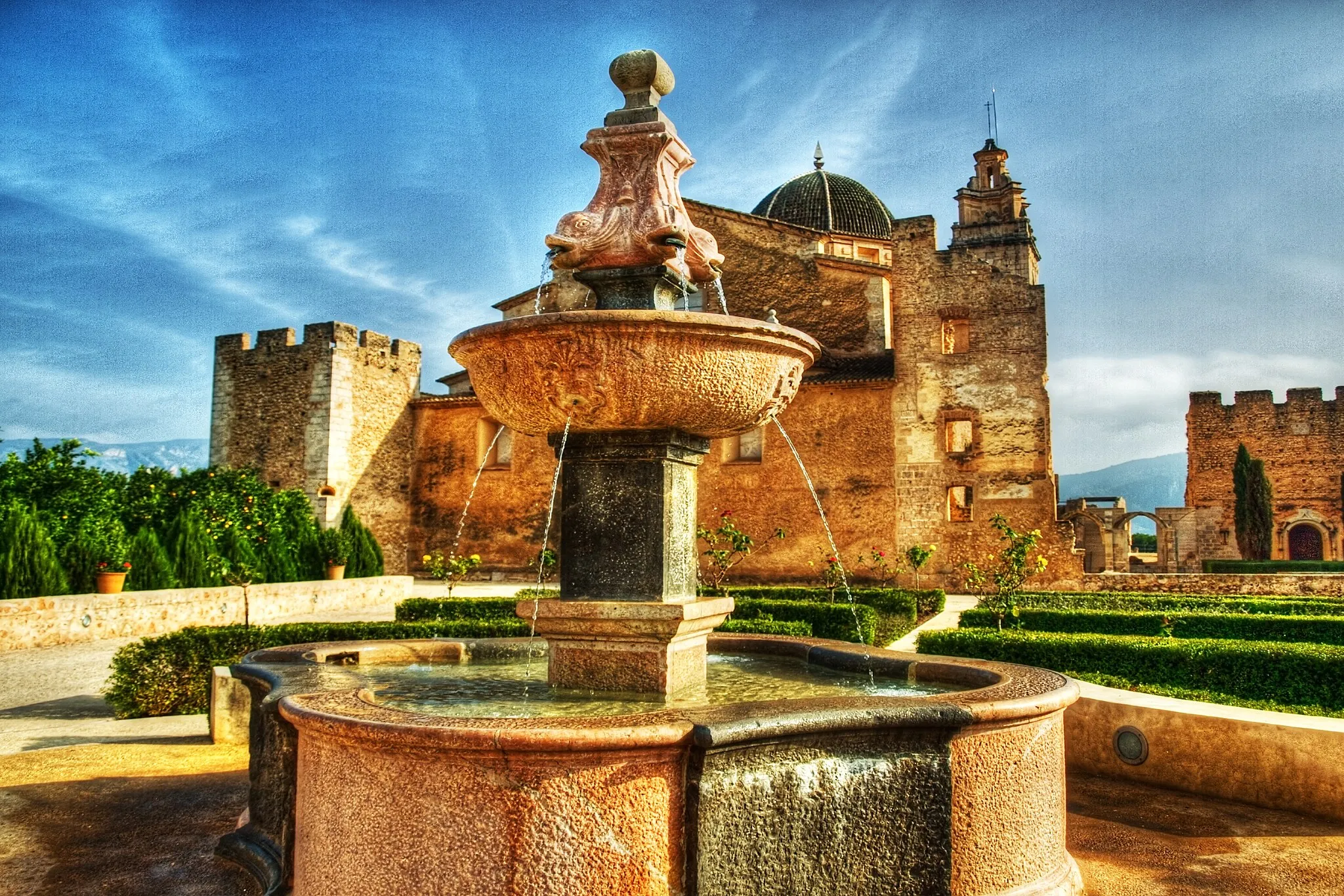
LlauríVillageLlaurí is a small village nestled in the hills. Admire the traditional architecture and enjoy the peaceful ambiance of the countryside.
21 km
21 km
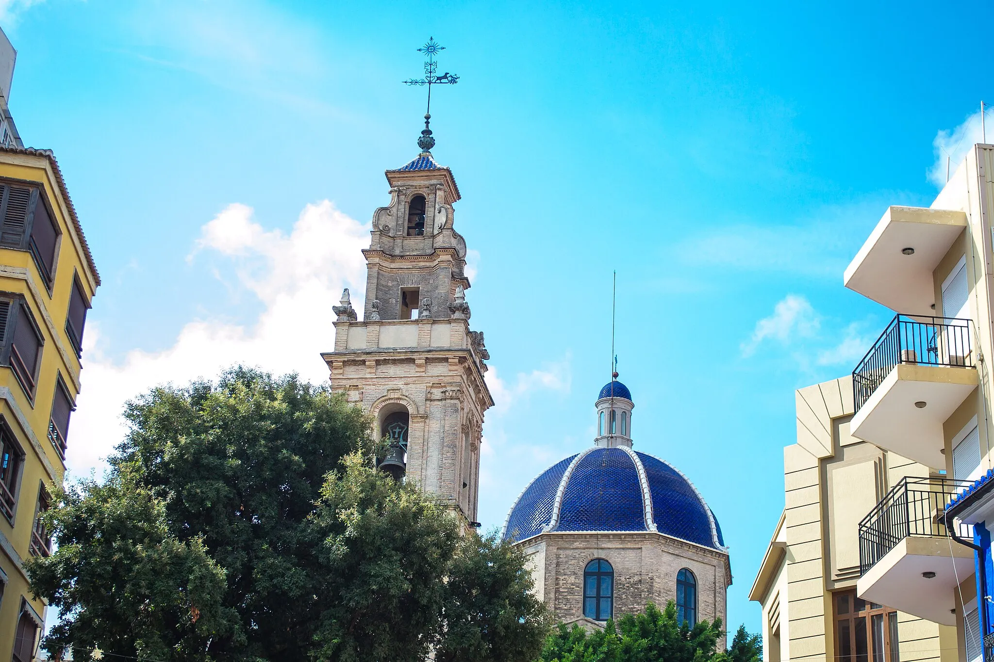
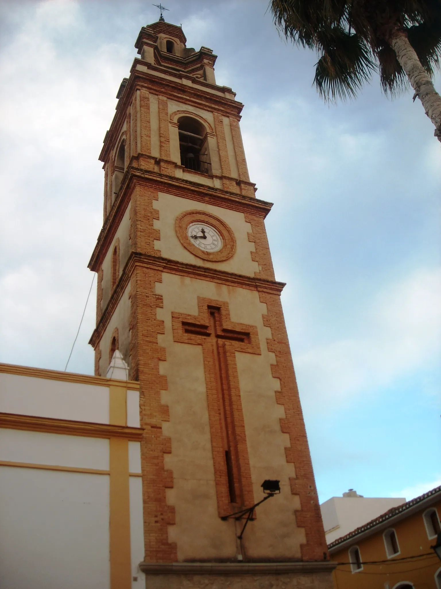
AlziraTownAlzira is a town located on the banks of the Júcar River. Visit the historic city center and the picturesque bridge.
34 km
34 km
CarletTownCarlet is a pleasant town with historical buildings and a charming main square. Take a break and relax in its cozy atmosphere.
48 km
48 km
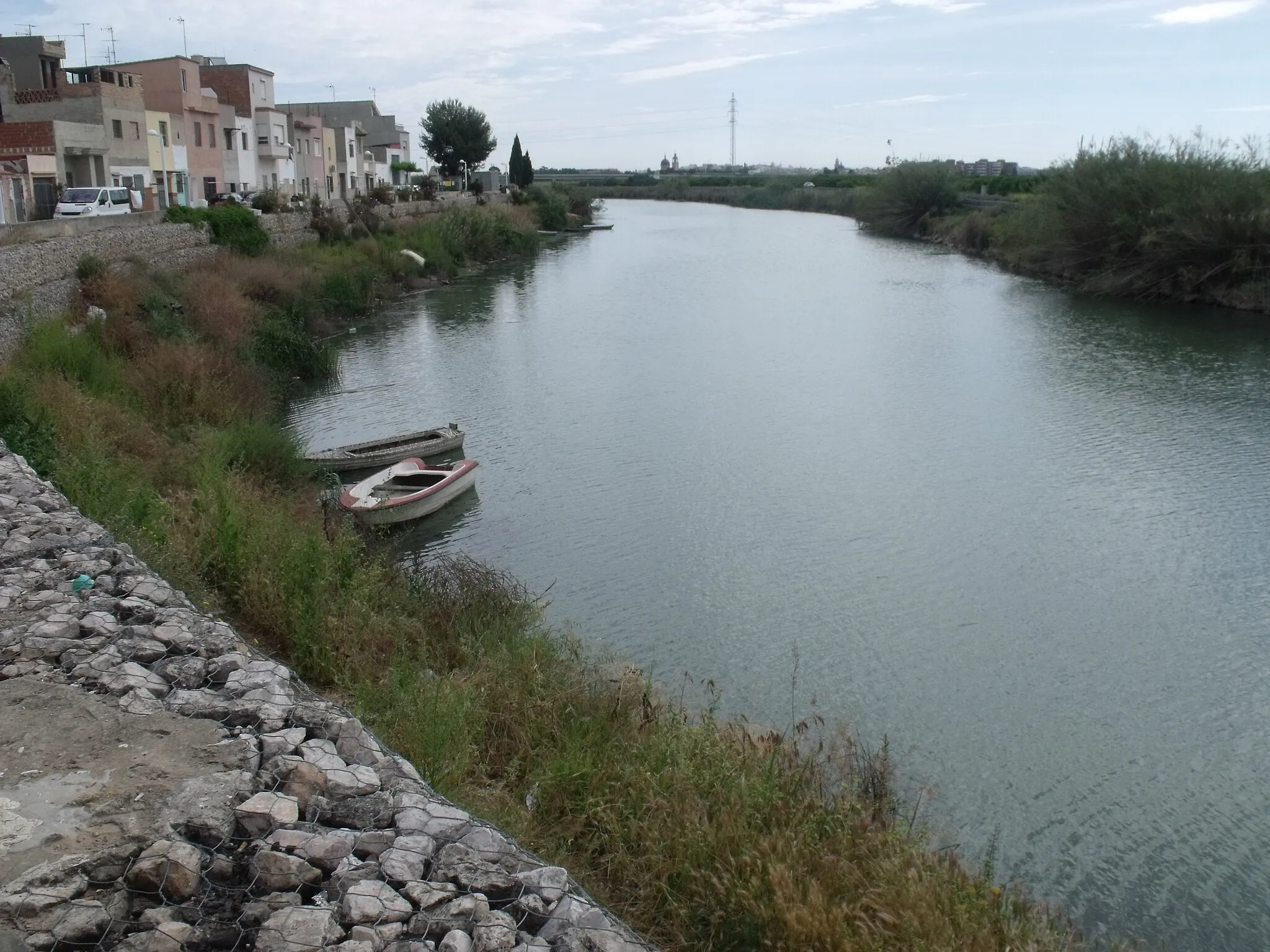
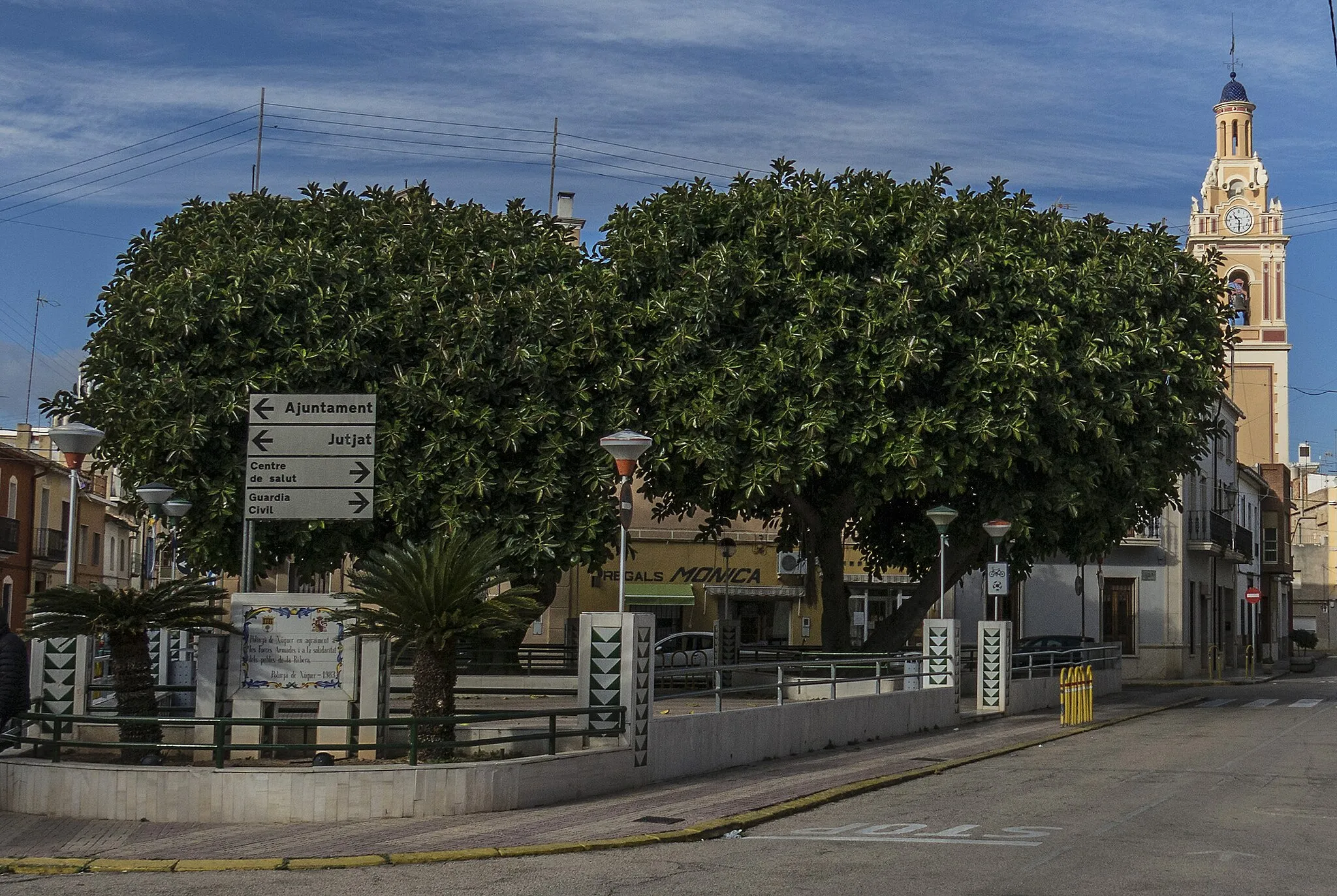
BenifaióTownBenifaió is a small village with traditional architecture and beautiful natural surroundings. Explore its rural beauty and tranquility.
71 km
71 km
Pic dels Francesos234 mPeakPic dels Francesos is a hill offering panoramic views of the surrounding landscapes. Climb to the top for stunning photo opportunities.
72 km
72 km
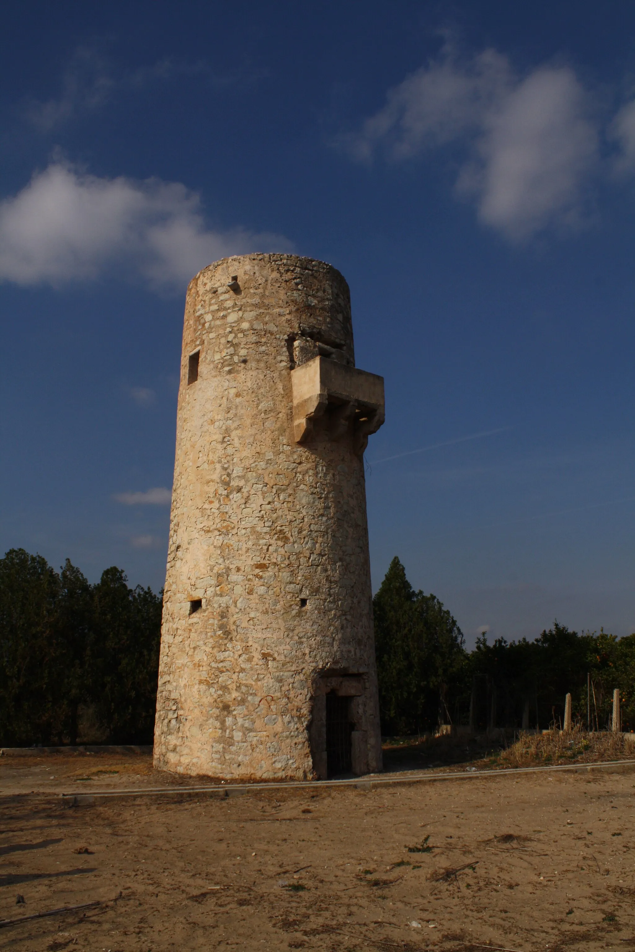
muralla moraCastle RuinsMuralla mora is a historical landmark in Cullera. Explore the remains of the medieval wall and learn about its significance.
73 km
73 km
Finish: Cullera City centerCullera: Discovering the coastal beauty of Cullera while cycling.
Cycling routes nearby: