Challenging Adventure: Buñol to Yátova
A road cycling route starting from Yatova
Embark on a challenging road cycling adventure from Buñol to Yátova, exploring rugged landscapes and historic sites.
Map
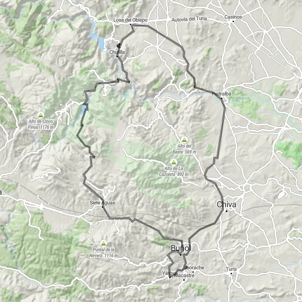
This road cycling route takes riders from Buñol to Yátova, covering a distance of 120 kilometers and featuring a total ascent of 2330 meters. Cyclists can expect a challenging and scenic journey, with highlights including Siete Aguas, Chulilla, and Pedralba. This route is recommended for experienced cyclists looking for thrilling ascents and incredible natural beauty.
road
120 km
2330 m
Savage
Route profile
Highlights on the route
0 km
0 km
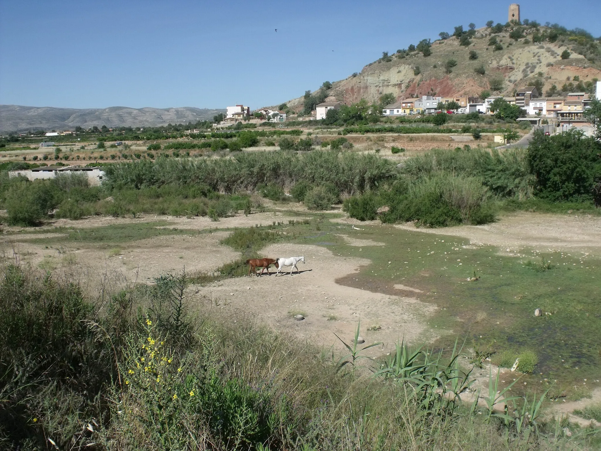
Start: Yátova Village centerYátova: Escape to mountainous landscapes and thrilling rides in Yátova
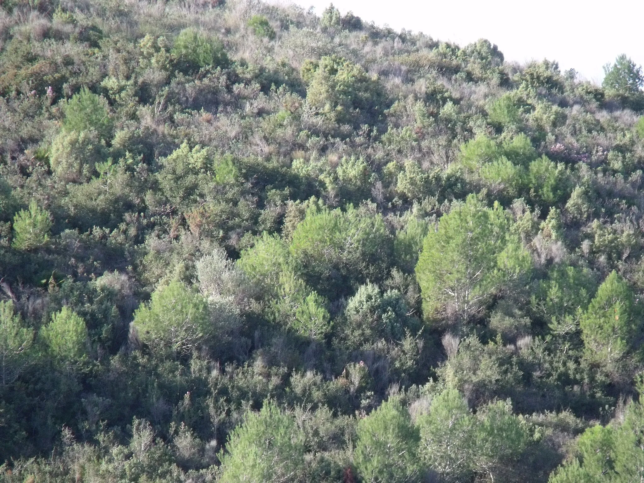
Yátova, located in Comunitat Valenciana, Spain, is a cyclist's paradise with its abundance of cycling routes and stunning scenery. The town is surrounded by mountains, offering a range of climbs for road cyclists of different abilities. Cyclists can enjoy challenging rides on winding roads that provide amazing views of the countryside. Yátova is also close to the Sierra de Yátova Natural Park, where gravel cyclists can explore off-road trails through forests and rugged landscapes. With its combination of mountainous terrain and natural beauty, Yátova is a great destination for cyclists seeking both exhilarating rides and peaceful surroundings.7 km
7 km
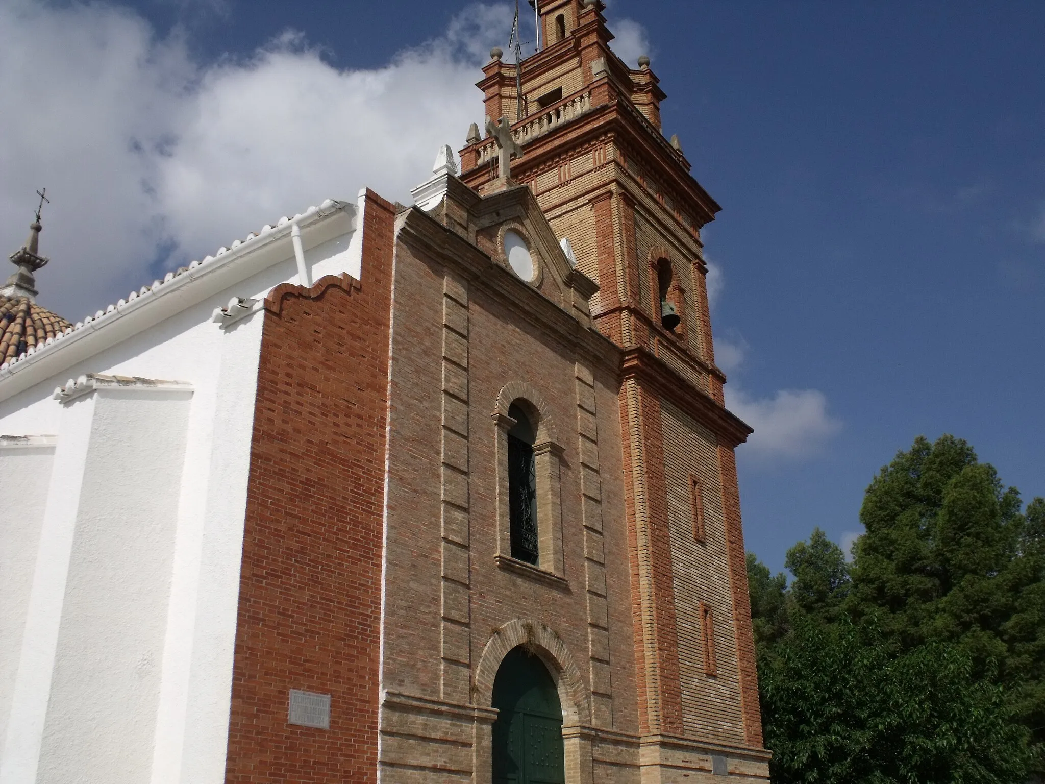
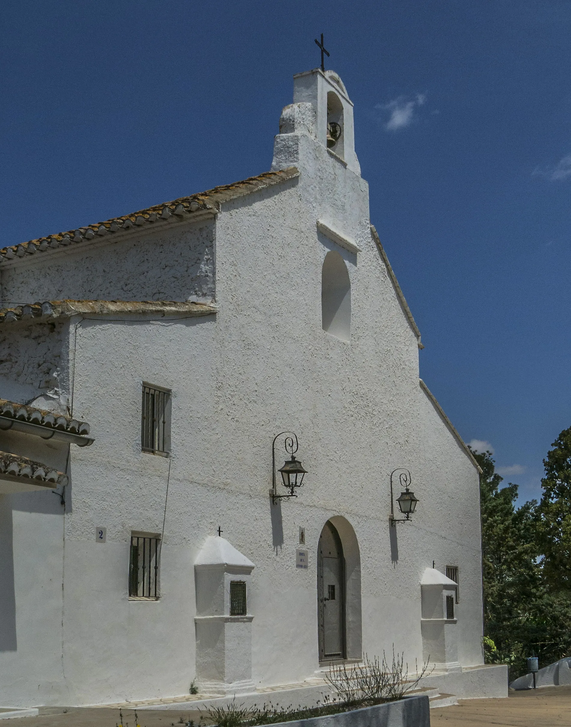
BuñolTownBuñol, the starting point of this challenging adventure, is a lively town famous for its ancient castle and the annual La Tomatina festival.
22 km
22 km
Siete AguasVillageSiete Aguas, located 22 kilometers into the route, reveals beautiful countryside landscapes and a historic feel.
60 km
60 km
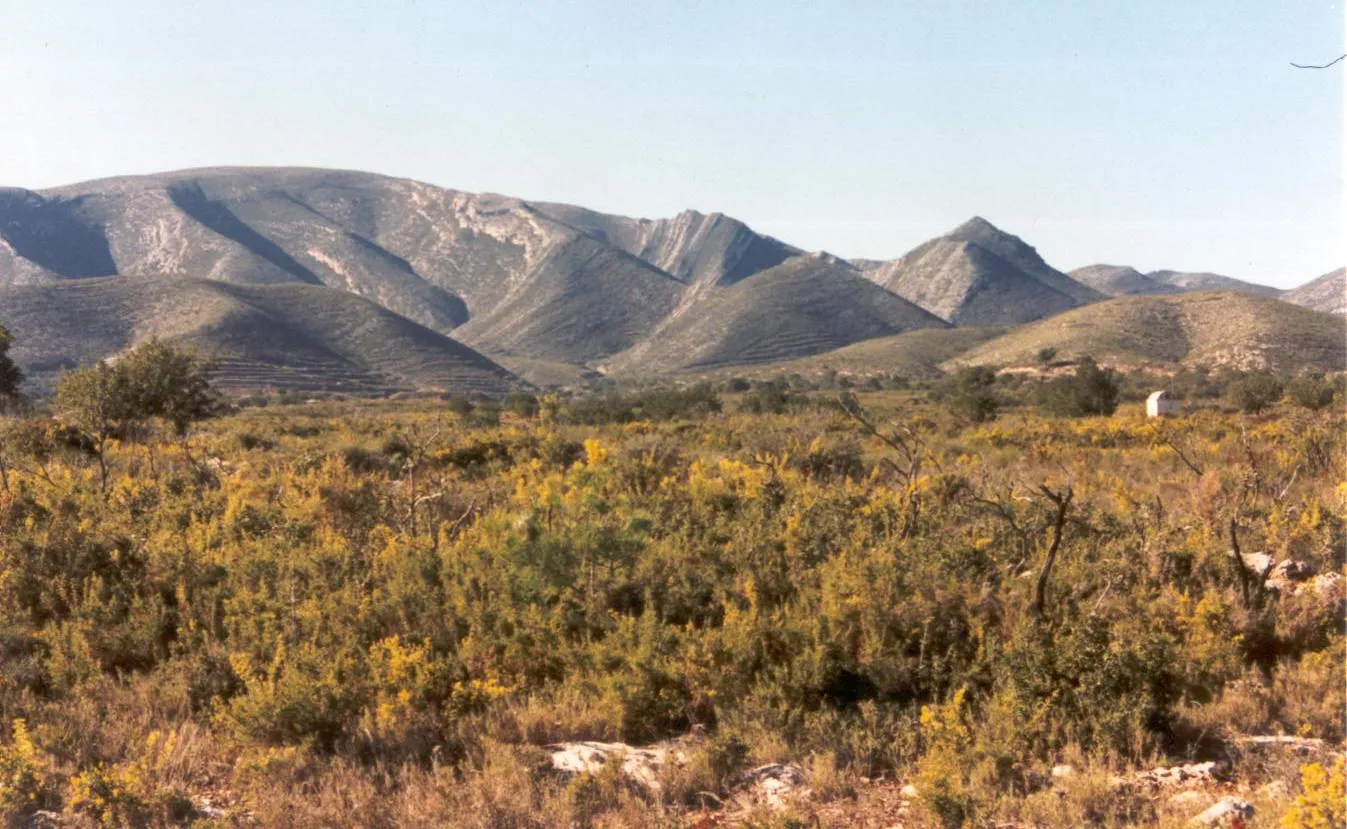
ChulillaVillageChulilla, situated at the 60-kilometer mark, is known for its rugged and impressive rock formations, attracting climbers and outdoor enthusiasts.
82 km
82 km
Altico del Palomo333 mPeakAltico del Palomo, located 82 kilometers into the route, features a challenging climb and panoramic vistas, rewarding cyclists with awe-inspiring landscapes.
86 km
86 km
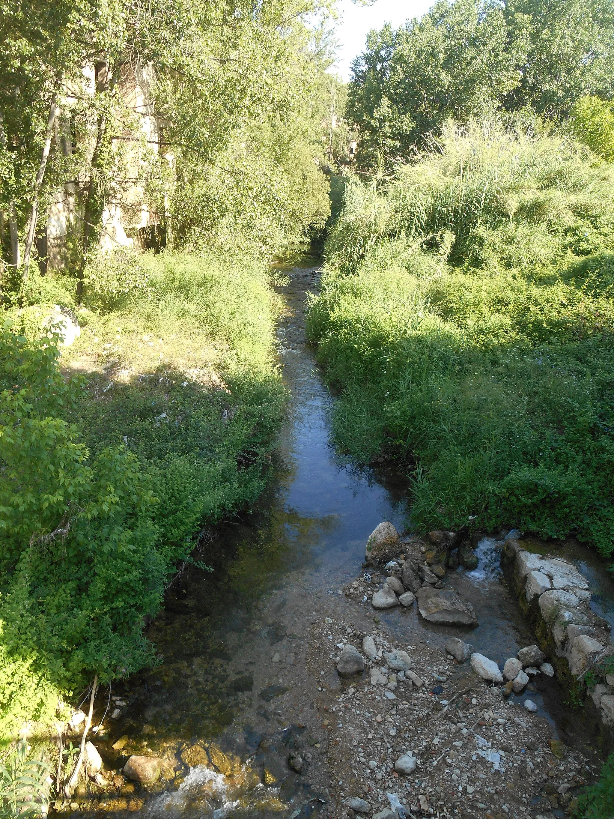
PedralbaVillagePedralba, found at the 86-kilometer mark, offers stunning scenic views of the Turia River canyon, making it a must-see highlight along this route.
104 km
104 km
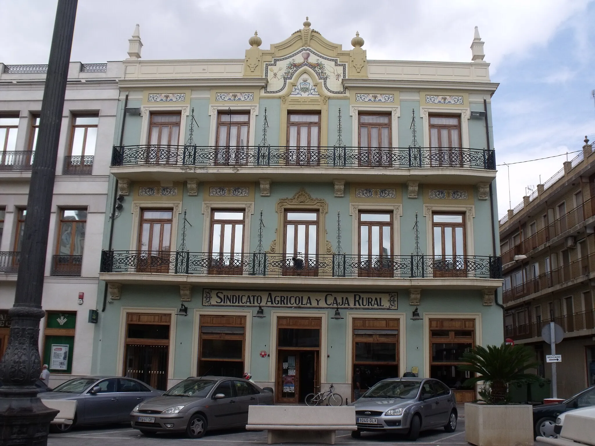
ChivaTownChiva, situated at the 104-kilometer mark, provides cyclists with a glimpse into the region's history through its ancient walls and picturesque streets.
105 km
105 km
Mirador Peña LomerosViewpointMirador Peña Lomeros, located at the 105-kilometer mark, rewards cyclists with breathtaking views and natural beauty that showcases the best of the region.
115 km
115 km
Mirador del TurcheViewpointMirador del Turche, positioned at the 115-kilometer mark, offers cyclists the opportunity to take in stunning vistas and enjoy a well-deserved break.
120 km
120 km
YátovaVillageYátova, the endpoint of this challenging adventure, welcomes cyclists with its natural beauty and small-town charm, creating a memorable conclusion to the route.
120 km
120 km
Finish: Yátova Village centerYátova: Escape to mountainous landscapes and thrilling rides in Yátova
Cycling routes from Yatova:
Off the Beaten Track: Macastre and Buñol Gravel Adventure The Ultimate Mountain Challenge: Exploring Yátova and Beyond Yátova Hills and Mountain Majesty Gravel Circuit Challenging Adventure: Buñol to Yátova Yátova to Macastre Road Cycling Route Road Cycling Adventure: Yátova to Cofrentes Road Cycling Escape: From Yátova to Buñol Off the Beaten Path: Gravel Cycling near Yátova Scenic Route: From Yátova to Alborache Gravel Adventure in Yátova
Cycling routes nearby: