Sierra Morena Loop
A road cycling route starting from Cabeza la Vaca
Experience the rugged beauty of Sierra Morena
Map
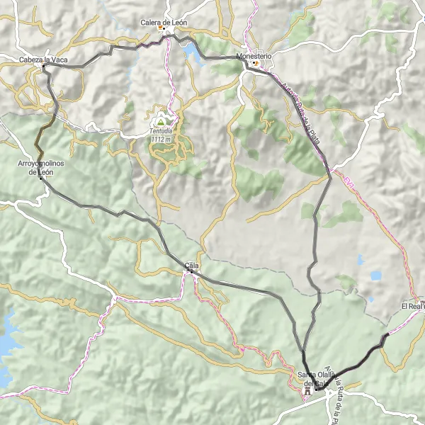
The Sierra Morena Loop is a challenging road cycling route starting near Cabeza la Vaca. With a total ascent of 1316m over a distance of 83kms, this route offers breathtaking views and diverse terrains. The difficulty level is rated at 4 out of 5, suitable for well-trained amateurs. The epicness rating is 4 out of 5, making it an adventurous choice for cyclists. Highlights of this route include Cabeza la Vaca, Monesterio, Santa Olalla del Cala, Arroyomolinos de León, and Cerro de la Fontanilla.
road
83 km
1316 m
Tough
Route profile
Highlights on the route
0 km
0 km
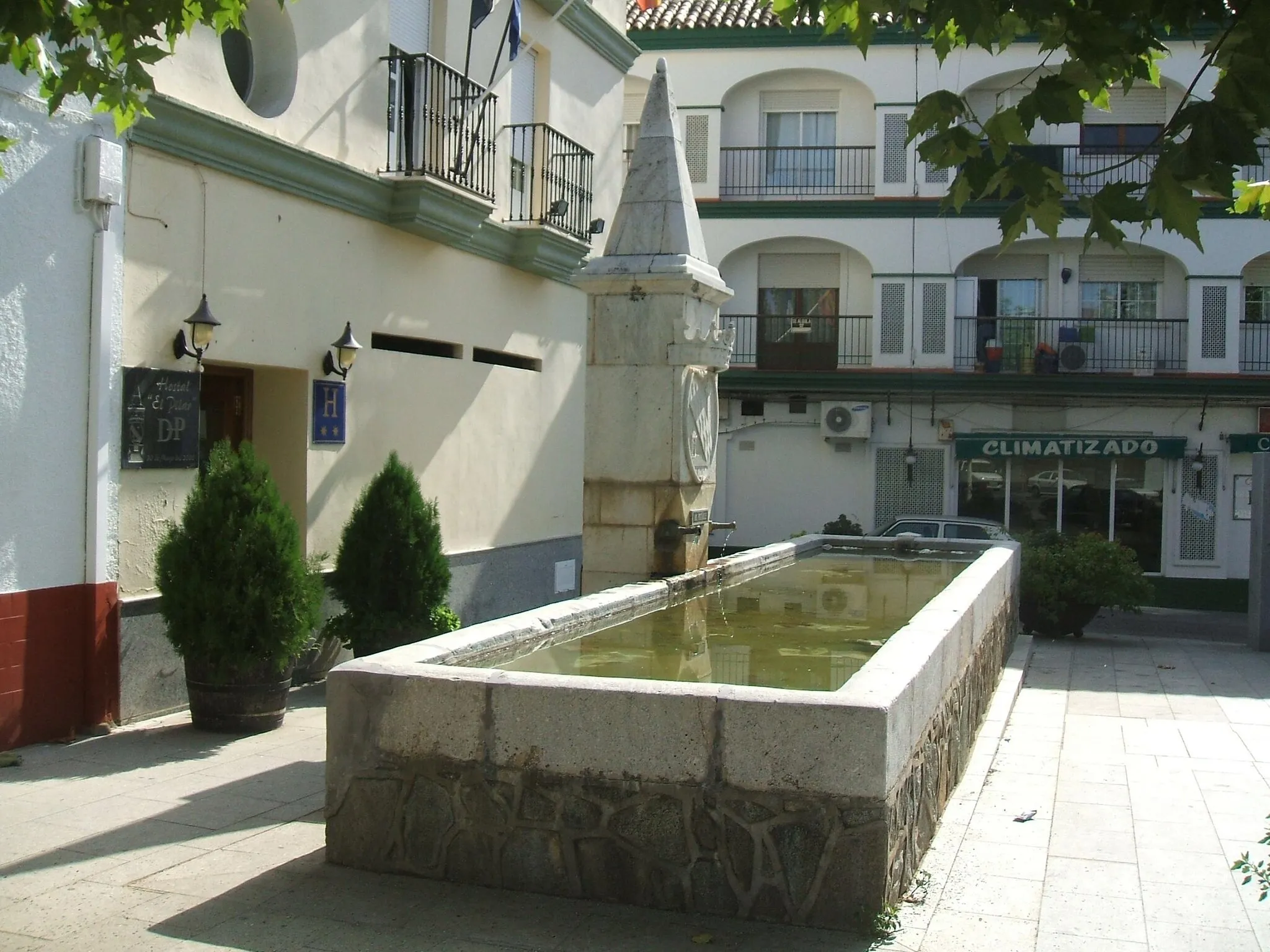
Start: Cabeza la Vaca Village centerCabeza la Vaca: Cabeza la Vaca: A Cyclist's Paradise in Extremadura, Spain
Cabeza la Vaca in Extremadura, Spain is a charming locality for road and gravel cyclists. The region offers a mix of rolling hills and challenging terrain, providing plenty of opportunities for both casual rides and intense training sessions. The region boasts beautiful landscapes and picturesque villages, making it an ideal destination for tourists as well. One notable cycling spot nearby is Sierra de Tentudía, which offers a demanding climb and breathtaking views. Overall, Cabeza la Vaca rates a 4 for its cycling-friendly environment and tourism potential.0 km
0 km
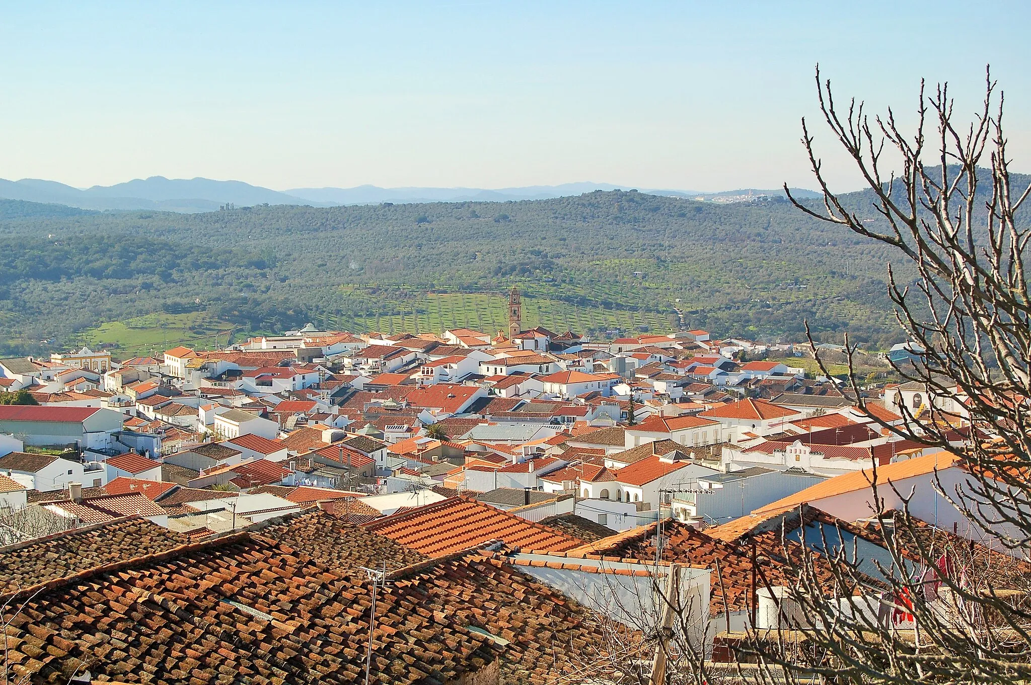
Cabeza la VacaVillageCabeza la Vaca: a charming village with rich cultural heritage.
15 km
15 km
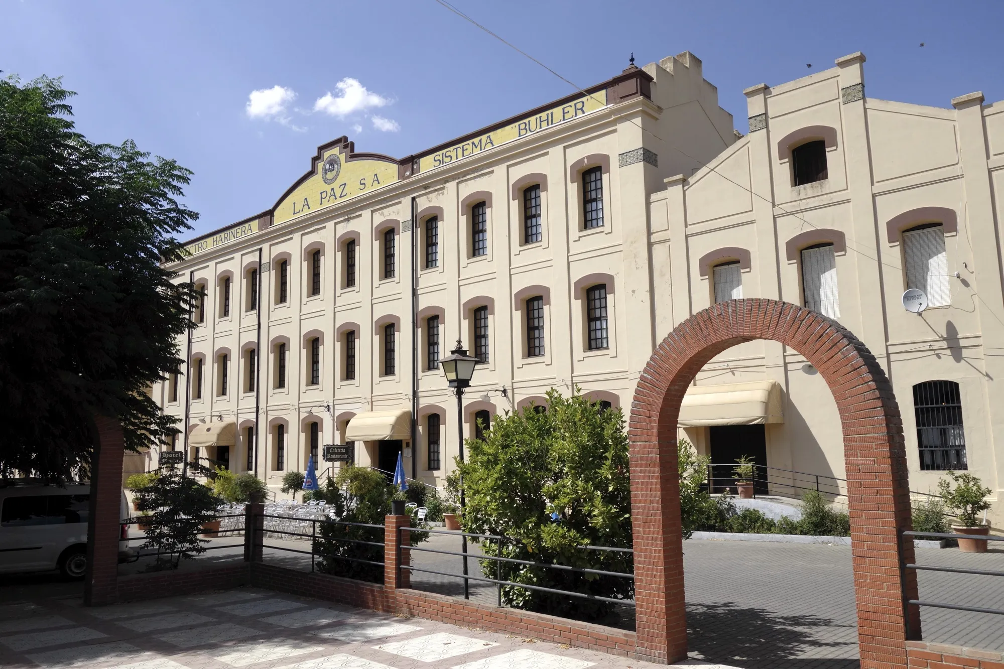
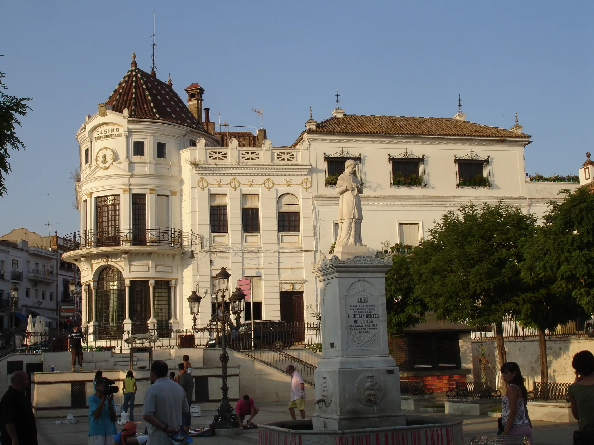
MonesterioVillageMonesterio: known for its traditional food and beautiful countryside.
50 km
50 km
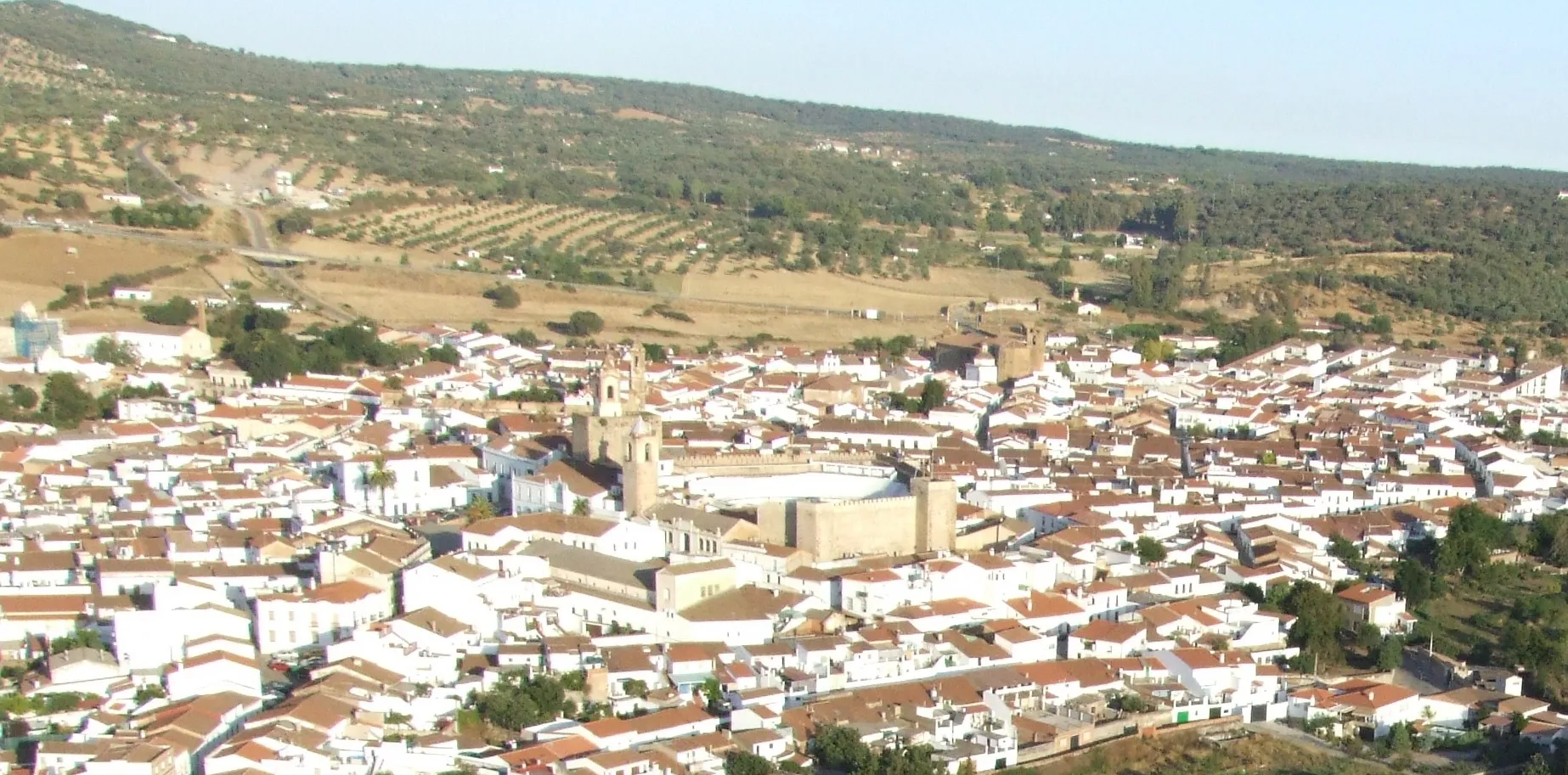
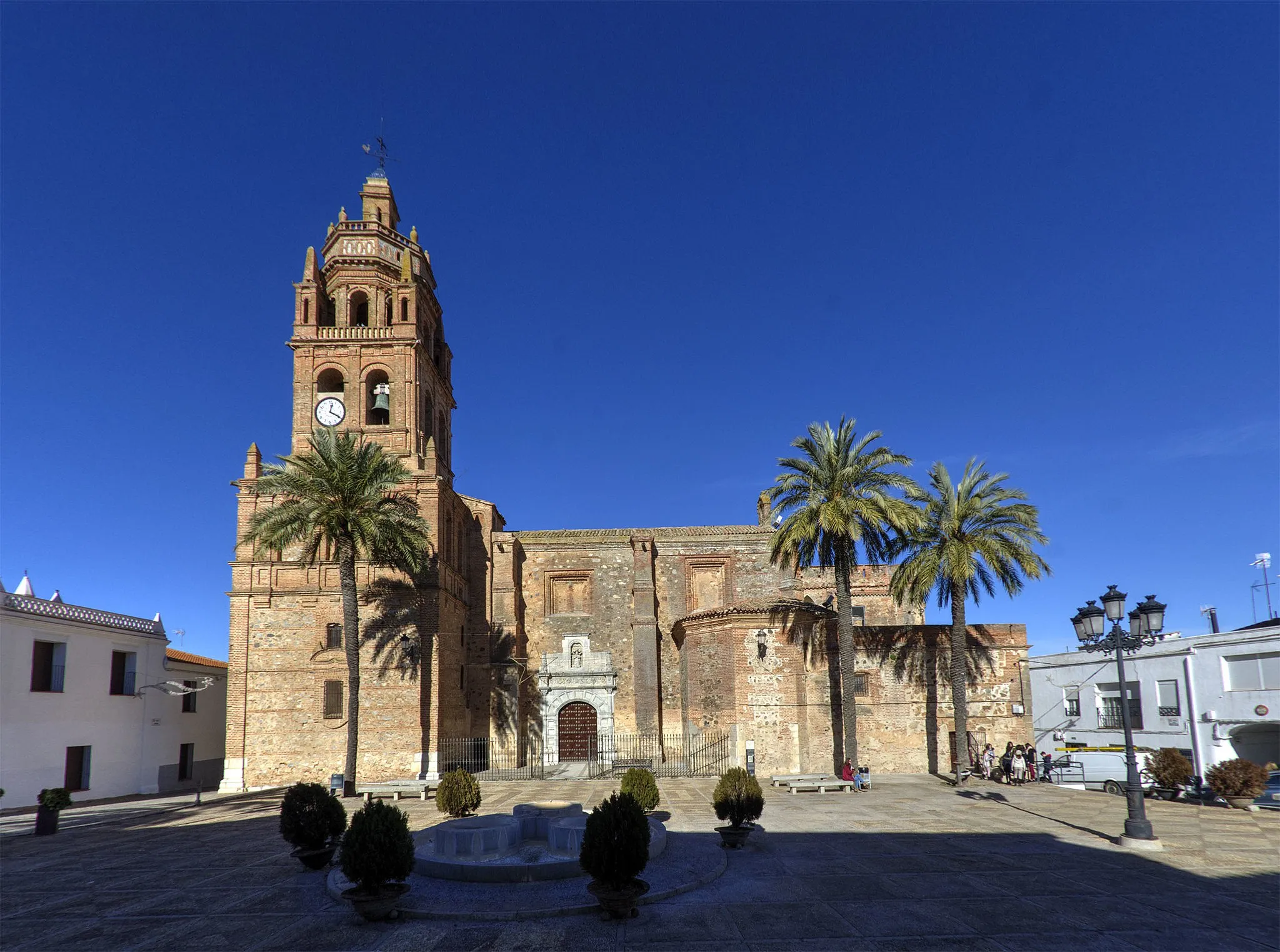
Santa Olalla del CalaVillageSanta Olalla del Cala: a historical town with narrow streets and picturesque charm.
74 km
74 km
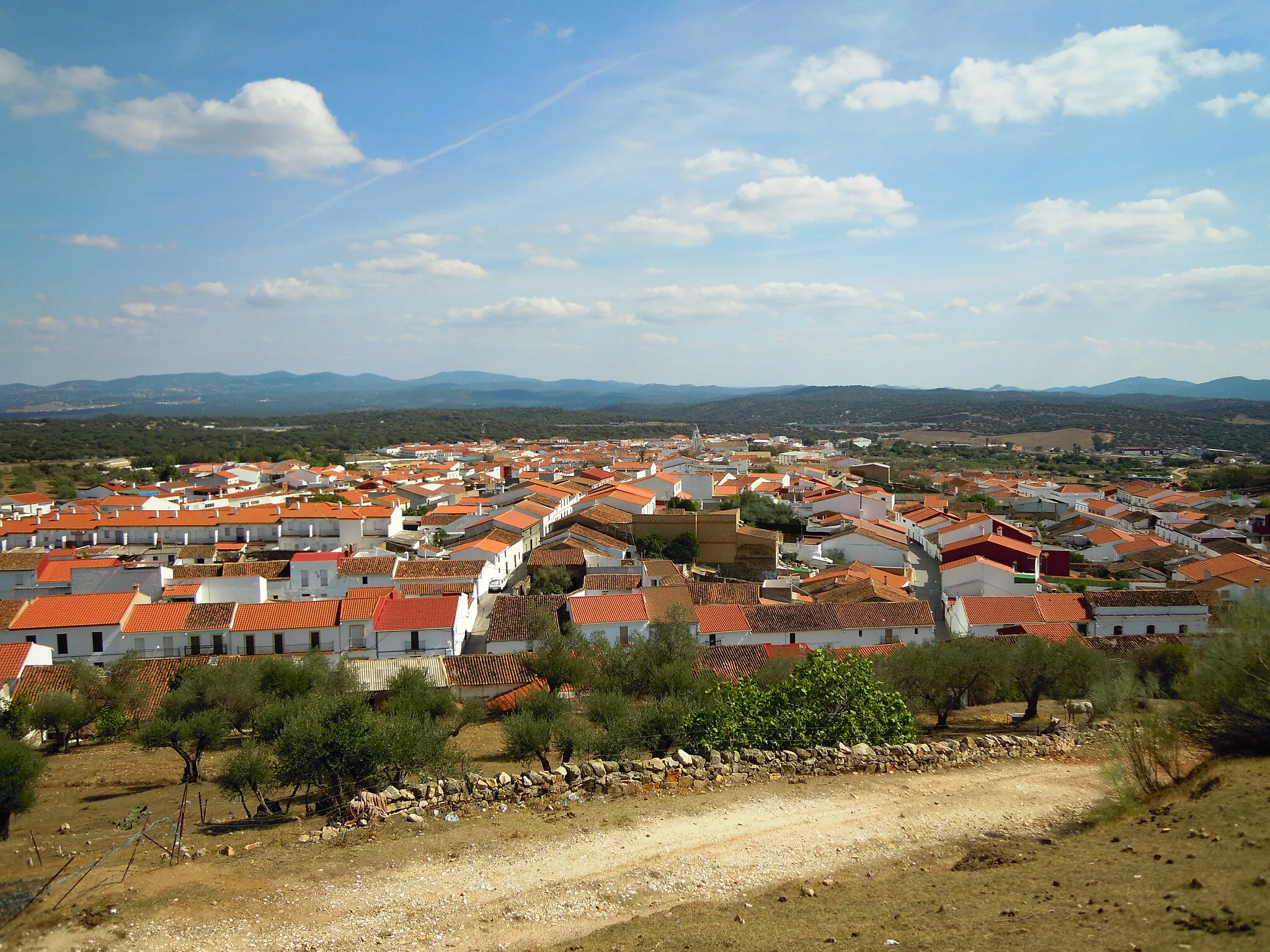
Arroyomolinos de LeónVillageArroyomolinos de León: surrounded by nature reserves, perfect for outdoor enthusiasts.
81 km
81 km
Cerro de la Fontanilla978 mPeakCerro de la Fontanilla: a scenic viewpoint offering panoramic views of the Sierra Morena region.
83 km
83 km
Finish: Cabeza la Vaca Village centerCabeza la Vaca: Cabeza la Vaca: A Cyclist's Paradise in Extremadura, Spain
Cycling routes from Cabeza la Vaca:
Hidden Gems of Sierra de Tentudía Magical Landscapes of Fregenal de la Sierra Cabeza la Vaca - Cerro de la Fontanilla loop Segura de León Loop Cabeza la Vaca - Cerro de la Fontanilla circular route Cabeza la Vaca Road Route Sierra Morena Loop Cabeza la Vaca Gravel Route Gravel Adventure in Tentudía Cabeza la Vaca Extended Road Route
Cycling routes nearby: