Paradela Climb
A road cycling route starting from Rodeiro
Conquer the ascent to Monte de Paradela on this thrilling cycling route.
Map
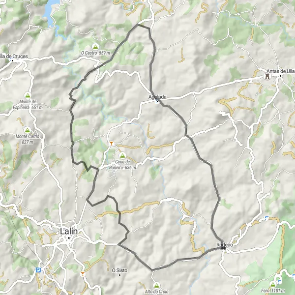
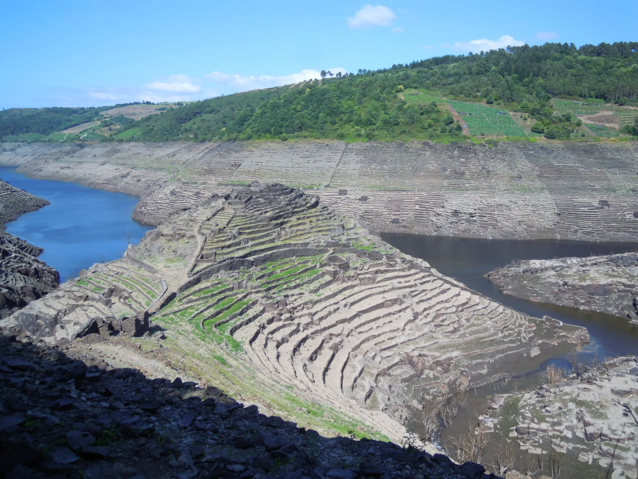
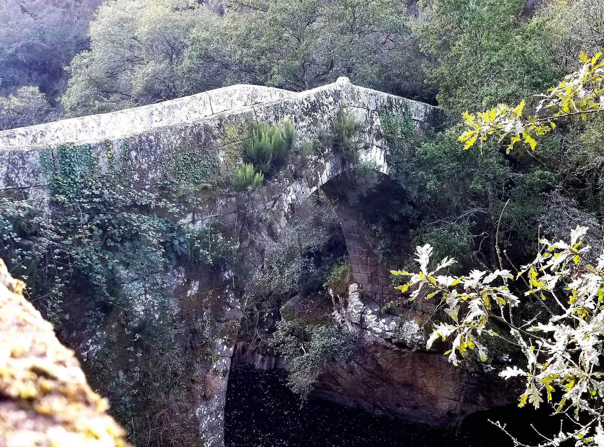
The Paradela Climb is a 64km route known for its steep climb to Monte de Paradela, making it a challenge for amateur cyclists. Starting from Rodeiro, the route showcases the natural beauty of Galicia with stunning landscapes along the way.
road
64 km
1102 m
Tough
Route profile
Highlights on the route
0 km
0 km
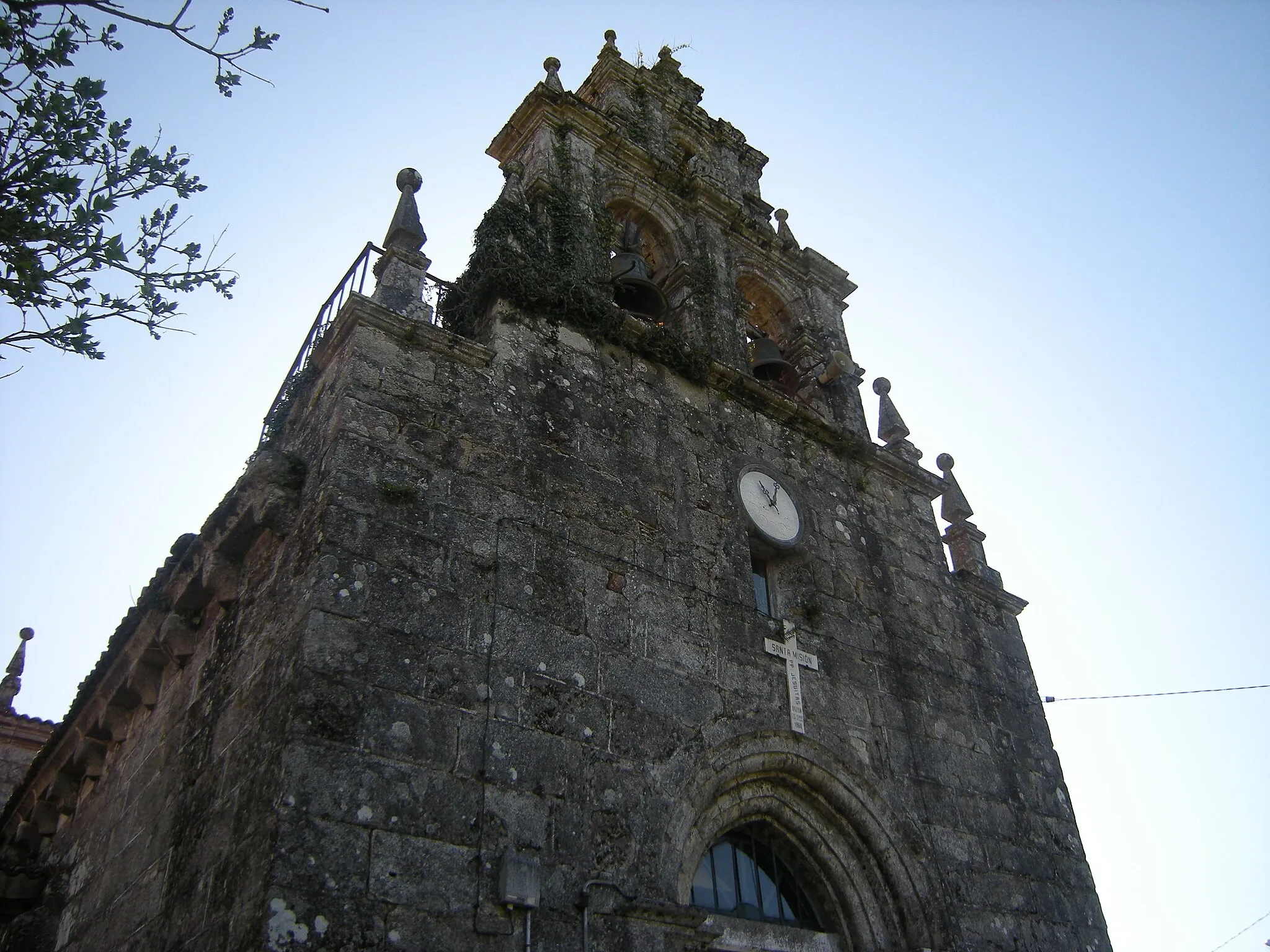
Start: Rodeiro Village centerRodeiro: Explore the picturesque countryside and conquer the challenging climbs of Rodeiro, Galicia, Spain.
Rodeiro is a locality in Galicia, Spain that offers a variety of cycling opportunities. The region boasts beautiful countryside and well-paved roads, creating a pleasant riding environment for cyclists. Rodeiro is located close to the Serra do Cando, which provides cyclists with challenging climbs and breathtaking panoramic views. Additionally, the Camino de Santiago is within reach, offering historical and cultural sites for cyclists to explore. Whether you're looking for leisurely rides or more adventurous routes, Rodeiro has something to offer for every cyclist.0 km
0 km
RodeiroVillageRodeiro serves as the starting point for this thrilling uphill cycling adventure.
6 km
6 km
Cerro da Rocha813 mPeakCerro da Rocha offers tranquil surroundings and an ideal spot for rest during the ride.
33 km
33 km
Monte de Paradela524 mPeakMonte de Paradela presents a challenging ascent, rewarding cyclists with breathtaking views at the top.
64 km
64 km
Finish: Rodeiro Village centerRodeiro: Explore the picturesque countryside and conquer the challenging climbs of Rodeiro, Galicia, Spain.
Cycling routes from Rodeiro:
Cycling routes nearby: