Águilas to Calabardina Route
A gravel cycling route starting from Aguilas
Discover the rugged coastline and hidden gems
Map
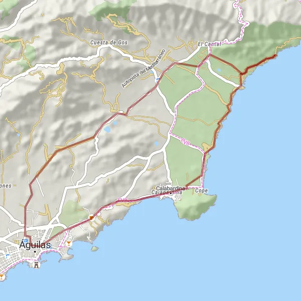
Embark on this gravel cycling route from Águilas to Calabardina, and immerse yourself in the rugged coastline and hidden gems of the region. With a distance of 39 kilometers and an ascent of 432 meters, it offers a moderate challenge for gravel enthusiasts. Along the way, you'll pass through Calabardina, known for its beautiful beaches and crystal-clear waters. Don't miss the Embarcadero del Hornillo, an old pier that provides great photo opportunities. The route also takes you to Molino Sagrera, a historic windmill that offers beautiful views of the surrounding landscape. This route is a perfect blend of natural beauty and cultural treasures.
gravel
39 km
432 m
Chill
Route profile
Highlights on the route
0 km
0 km
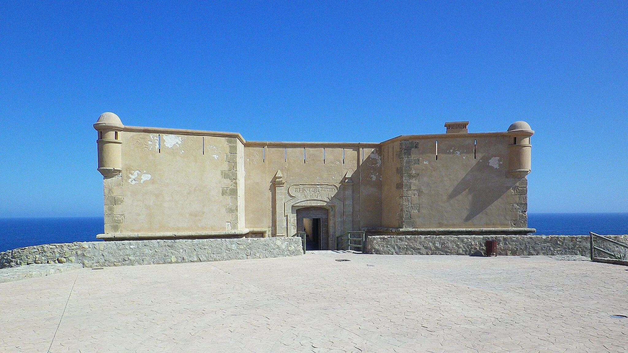
Start: Águilas City centerÁguilas: Exploring the coastal routes and mountain climbs of Águilas
Águilas is a locality in the Región de Murcia region of Spain. From a cyclist's perspective, Águilas offers a mix of flat coastal routes and challenging mountain climbs, making it suitable for both road cyclists and gravel cyclists. The roads in the area are generally well-paved and there are scenic viewpoints along the way. One of the well-known cycling spots nearby is the Sierra de las Moreras, a challenging climb that attracts cyclists from all over the world. With its diverse cycling routes and beautiful coastal scenery, Águilas is a fantastic destination for cyclists.0 km
0 km
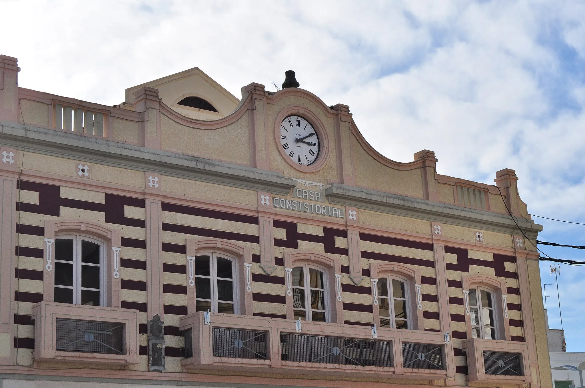
ÁguilasTownStart your journey from Águilas, a coastal town with a rich maritime history.
32 km
32 km
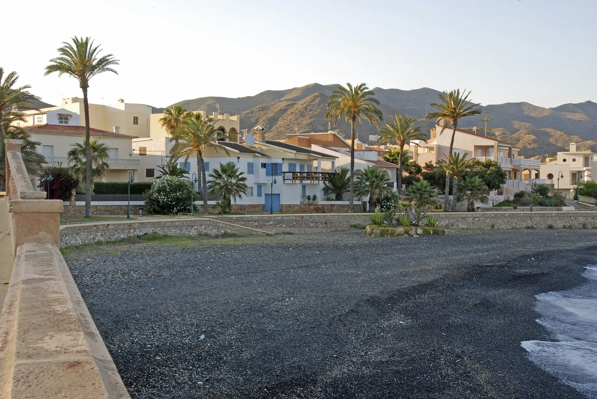
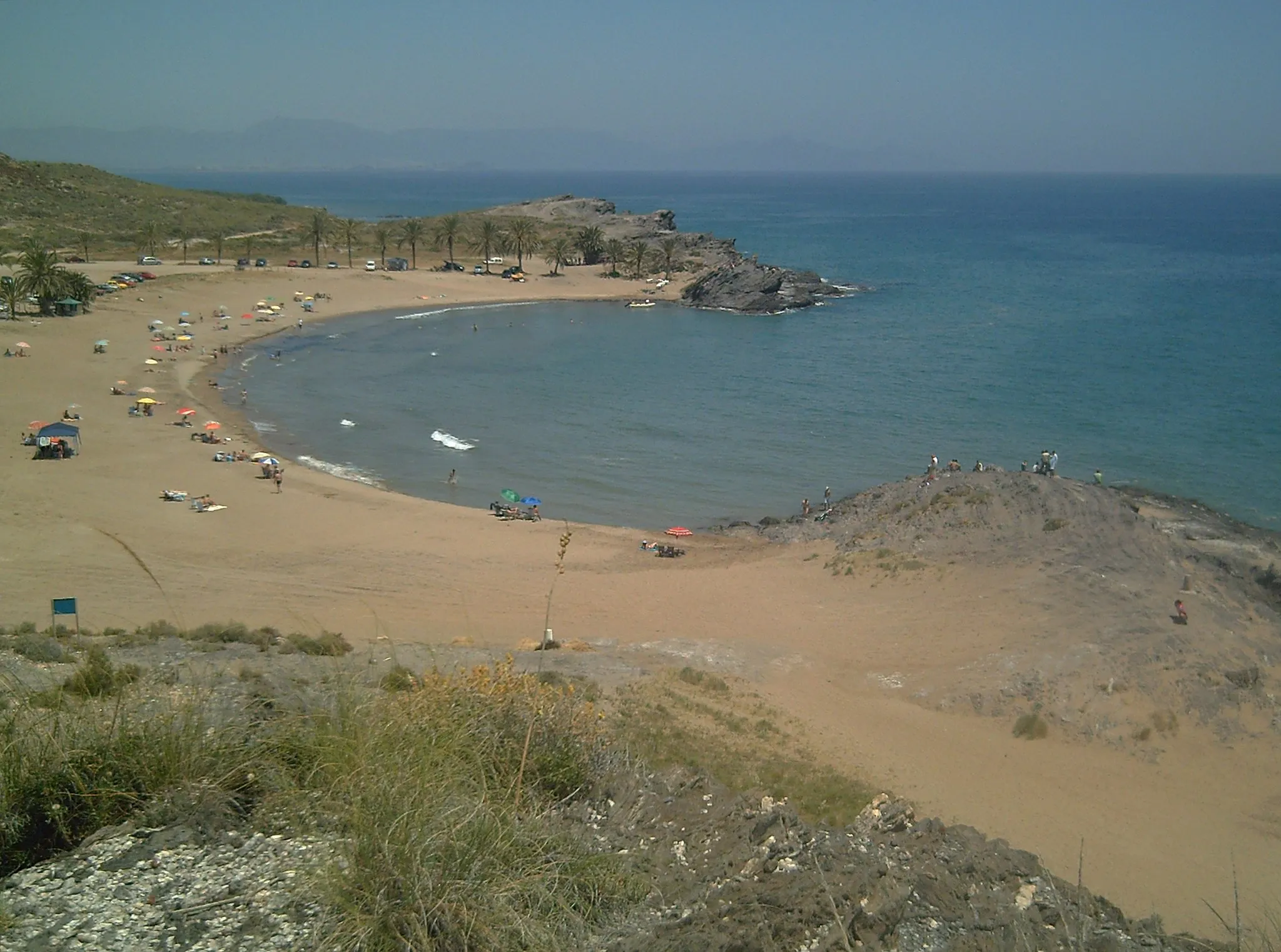
CalabardinaSub-urbCalabardina boasts stunning sandy beaches and pristine waters, perfect for a refreshing swim.
38 km
38 km
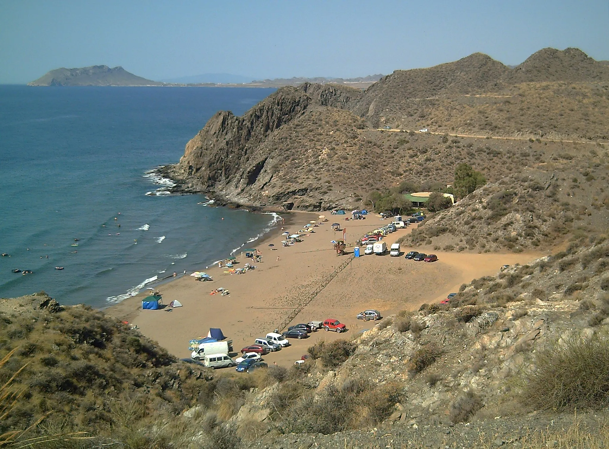
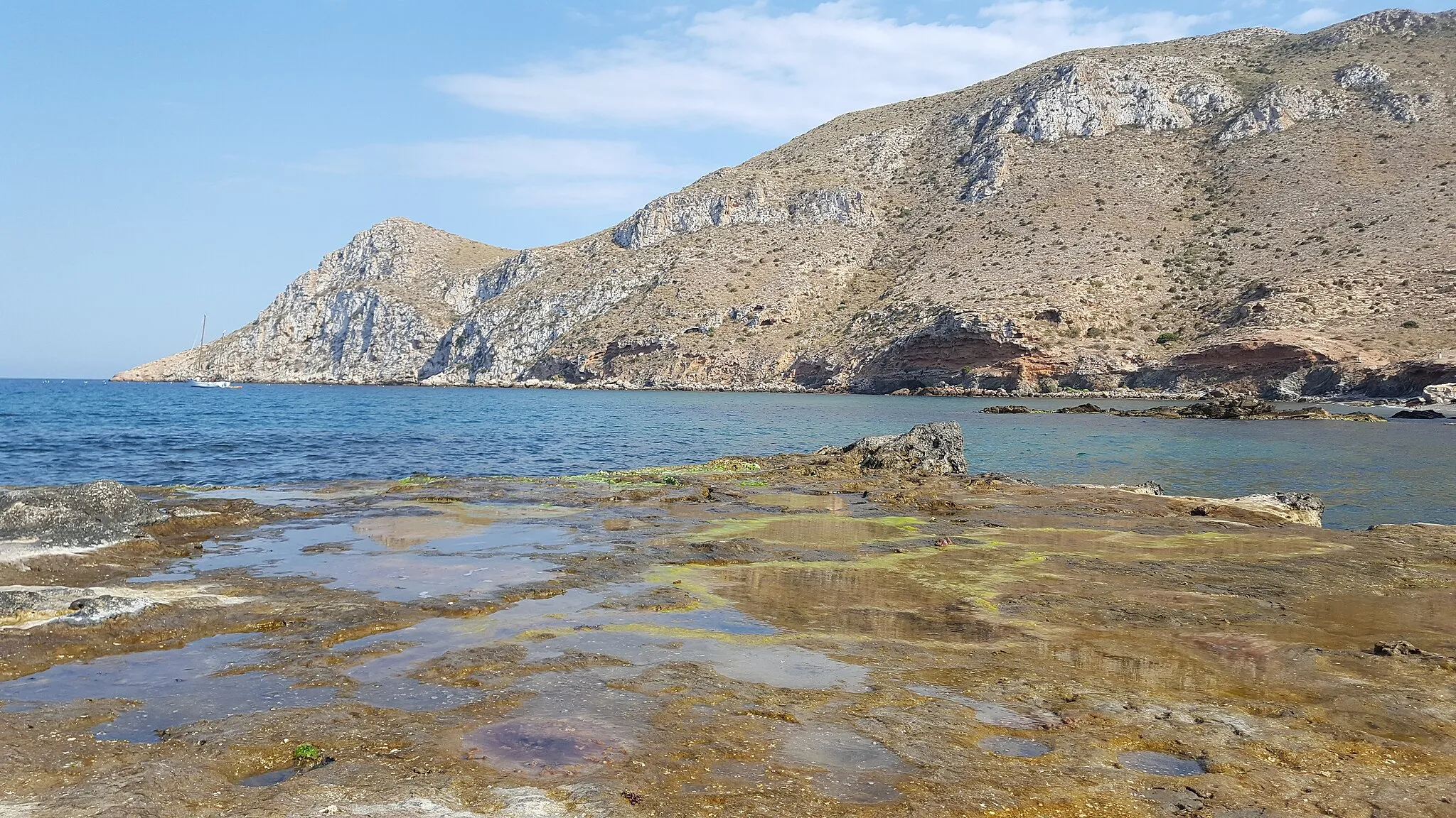
Embarcadero del HornilloAttractionEmbarcadero del Hornillo, an old pier, offers panoramic views of the coastline and nearby cliffs.
39 km
39 km
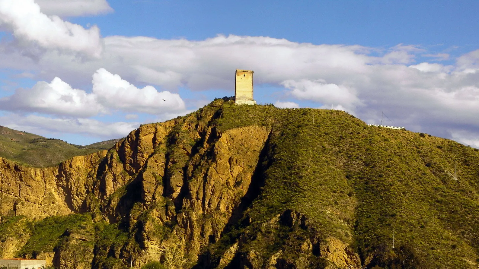
Molino SagreraViewpointMolino Sagrera, a historic windmill, provides a glimpse into the region's agricultural heritage.
39 km
39 km
Finish: Águilas City centerÁguilas: Exploring the coastal routes and mountain climbs of Águilas
Cycling routes nearby: