Pico del Aguila Challenge
A road cycling route starting from Santomera
Conquer the Pico del Aguila peak
Map
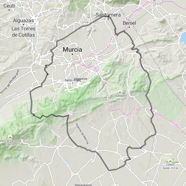
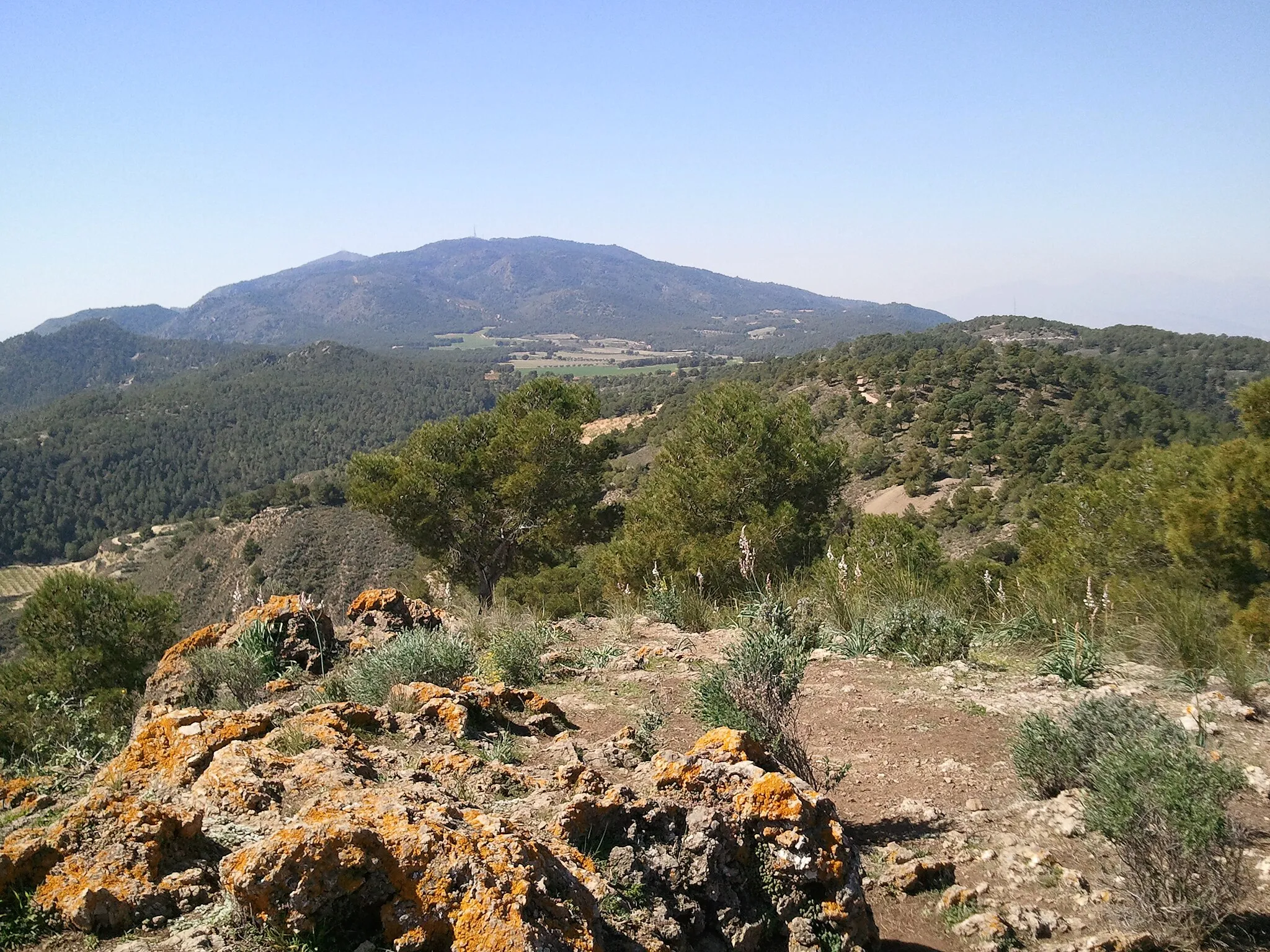
Embark on an exhilarating adventure to reach the summit of Pico del Aguila, a legendary climb known for its challenging ascent. This 108km road route is not for the faint-hearted, with over 1000m of elevation gain. With stunning views at every turn, this epic cycling experience will leave you breathless. Highlights on this route include the picturesque village of Zeneta, the scenic Torre Guil tower, and the unique natural beauty of Rincón de Beniscornia.
road
108 km
1016 m
Savage
Route profile
Highlights on the route
0 km
0 km
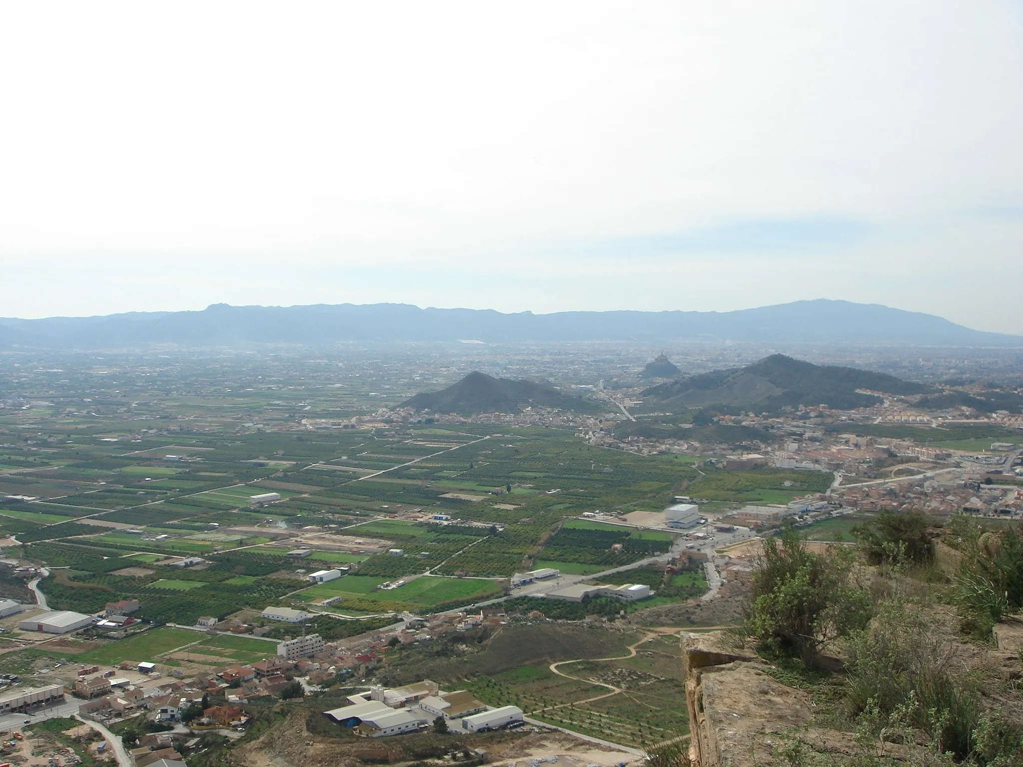
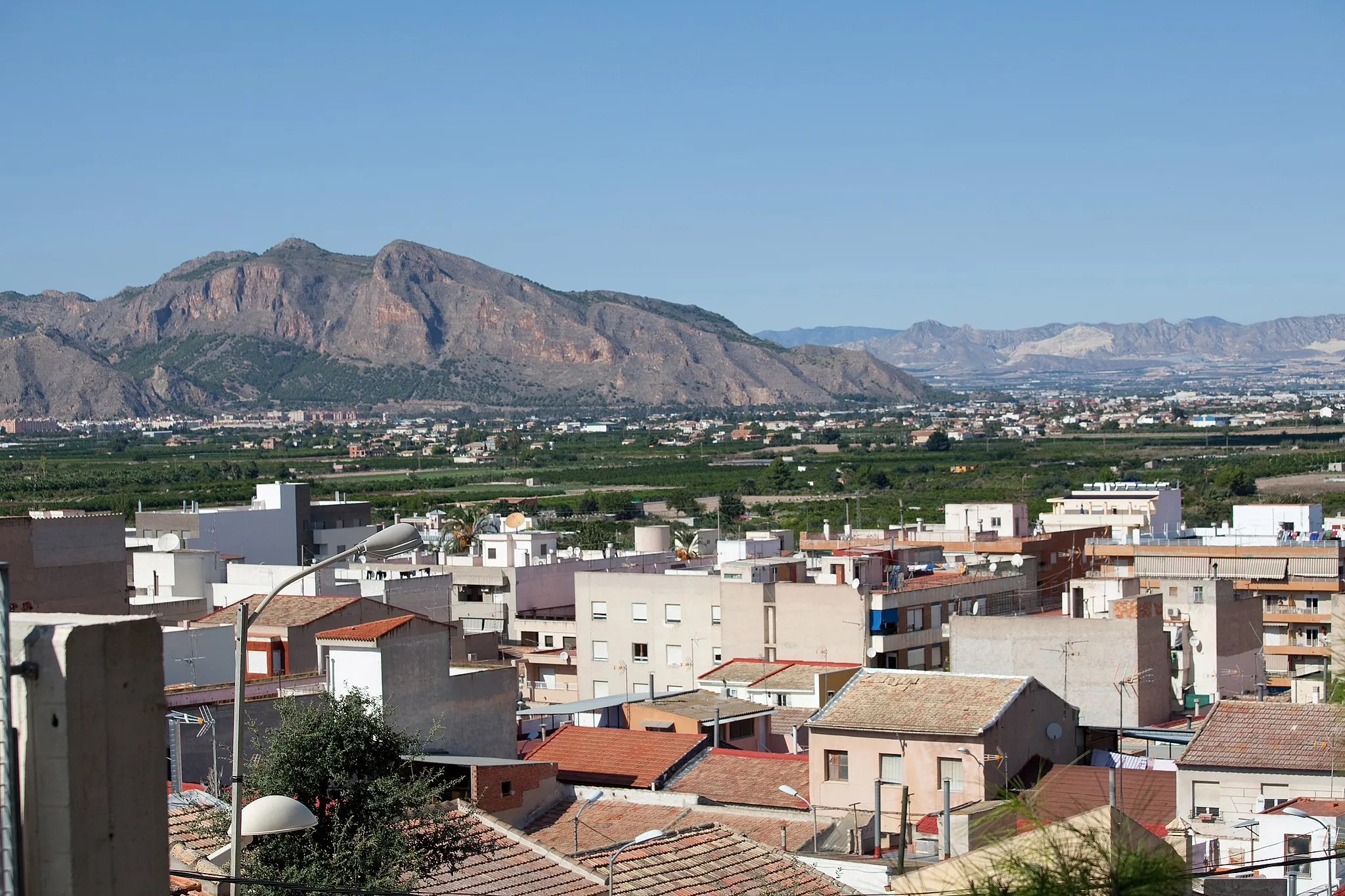
Start: Santomera City centerSantomera: Varied terrains and cultural heritage in Spain.
Santomera is a locality in the Región de Murcia region of Spain. As a road and gravel cyclist, Santomera offers diverse terrains and stunning scenery, making it an ideal destination for cyclists of all levels. The region is surrounded by mountains and natural parks, providing ample opportunities for challenging climbs and exploration. Cyclists can also visit nearby towns like Orihuela to experience the rich cultural heritage of the area. Santomera itself hosts various cycling events throughout the year, showcasing its commitment to cycling tourism. Overall, Santomera is a cycling-friendly area with both mountainous and cultural attractions.10 km
10 km
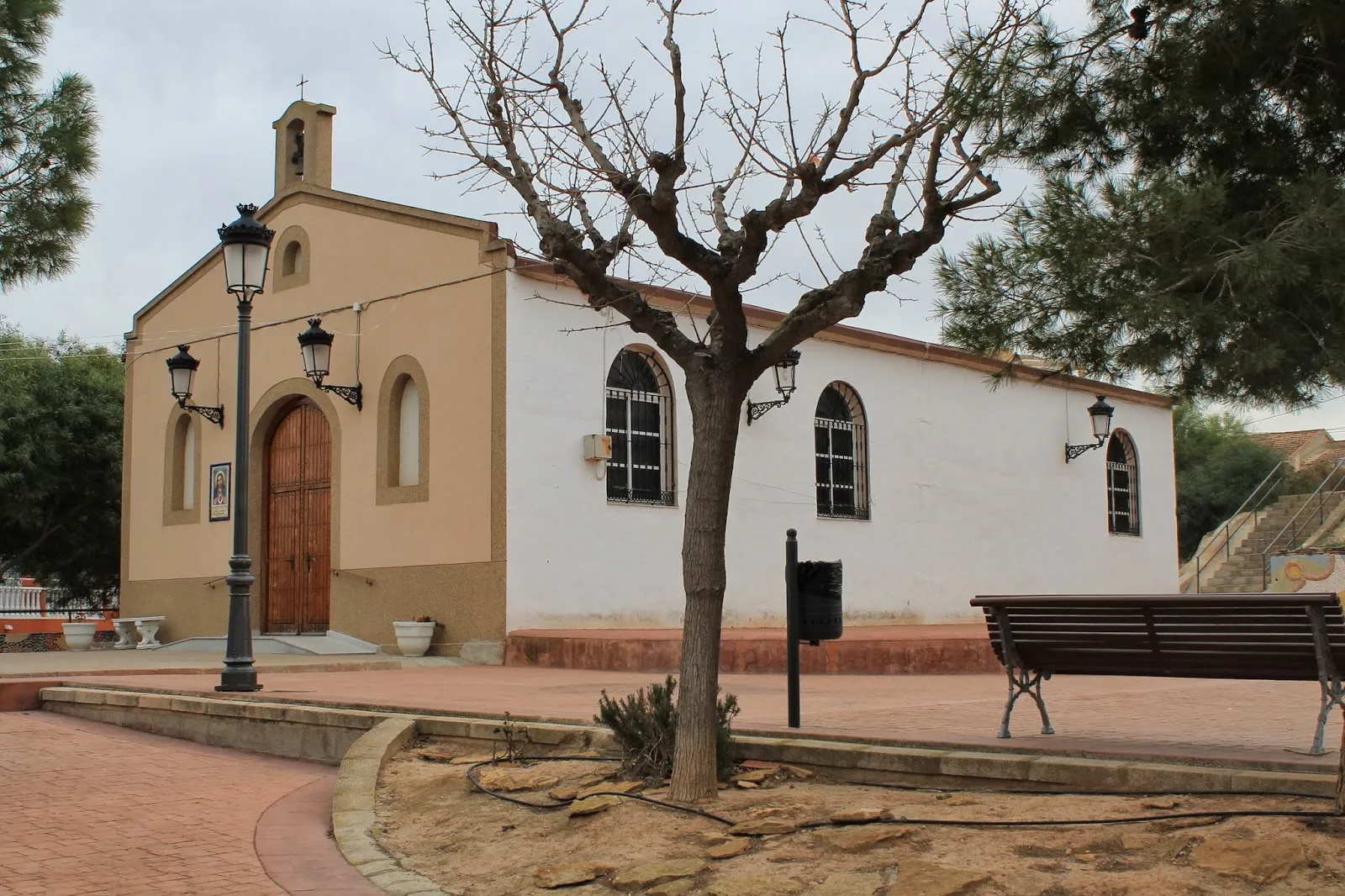
ZenetaSub-urbZeneta's serene countryside offers a peaceful setting for cyclists to relax and recharge.
29 km
29 km
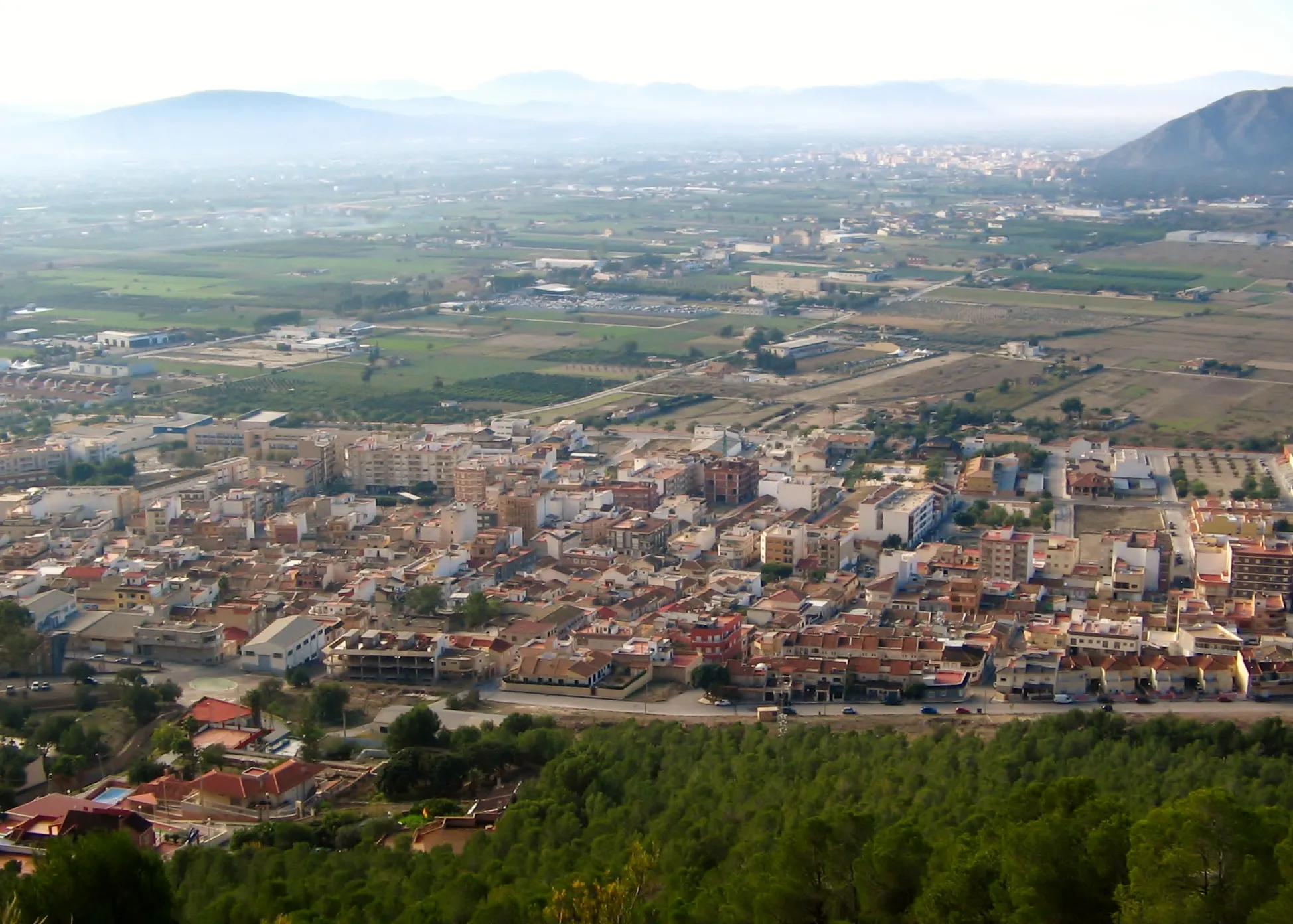
SucinaSub-urbSucina is a small village with charming traditional houses that transport you back in time.
72 km
72 km
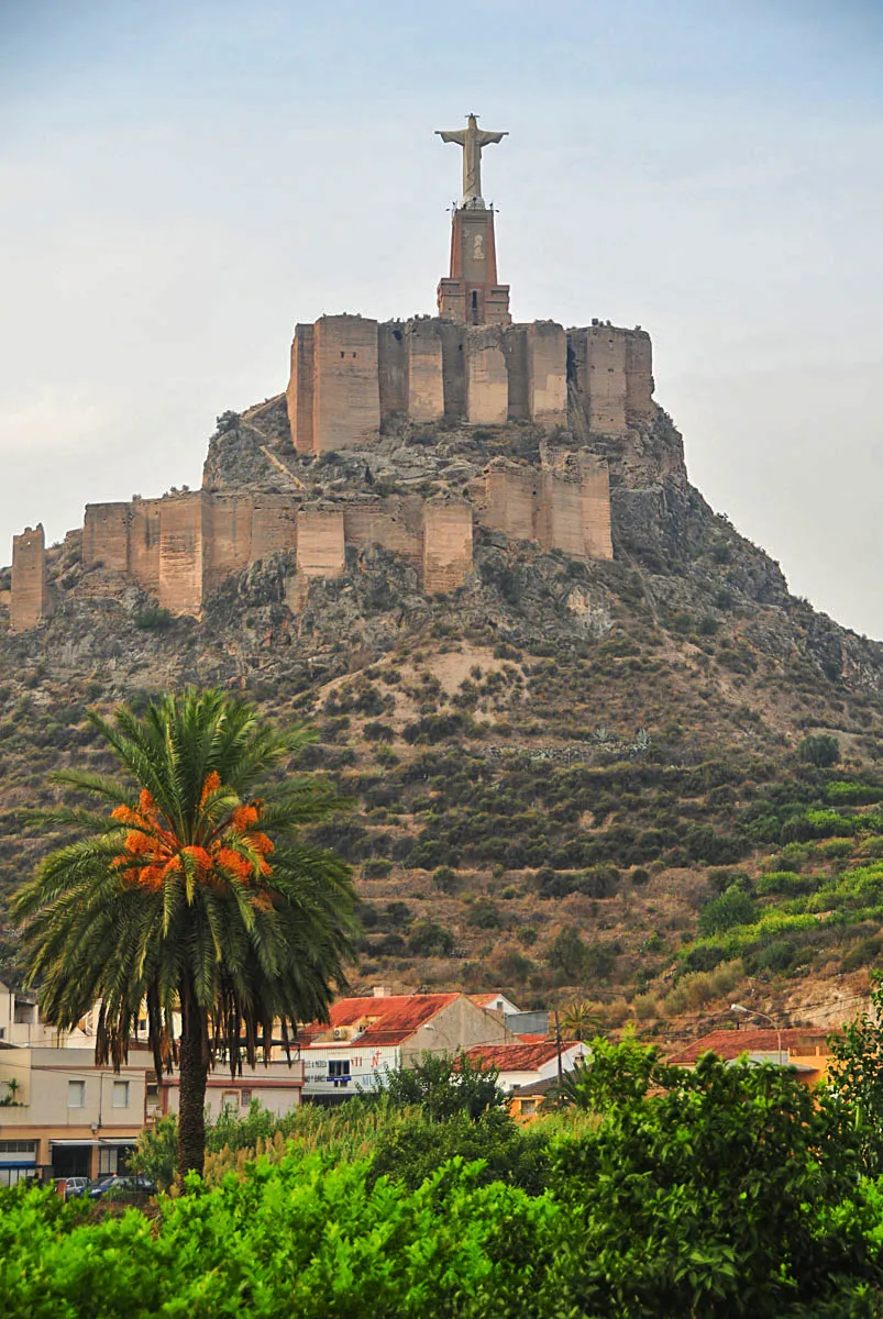
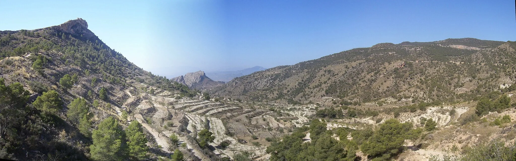
Pico del Aguila637 mPeakPico del Aguila is a legendary climb, attracting professional cyclists from around the world for its difficulty and stunning views.
76 km
76 km
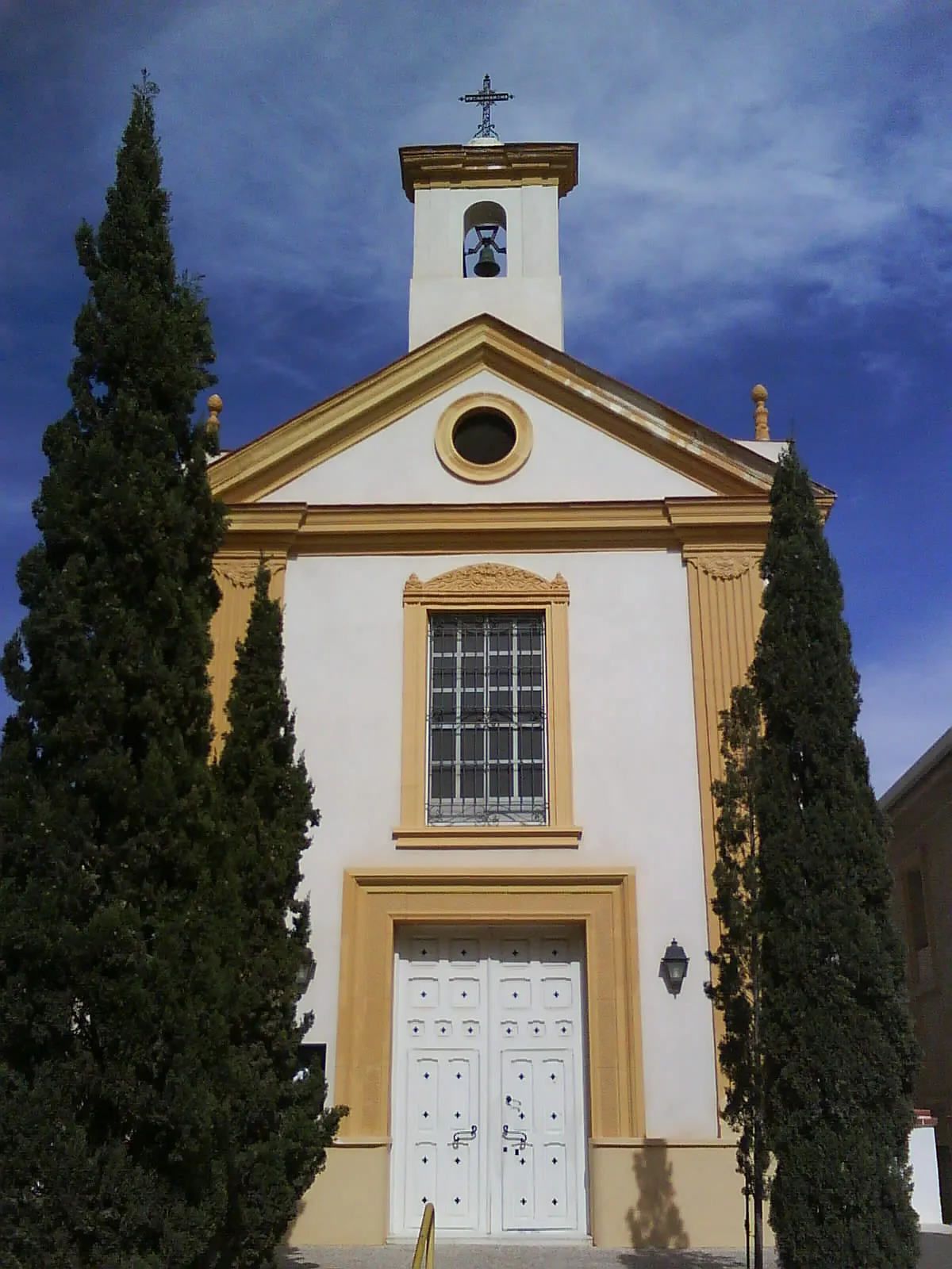
Torre GuilSub-urbTorre Guil is a medieval tower that offers panoramic views of the surrounding countryside.
90 km
90 km
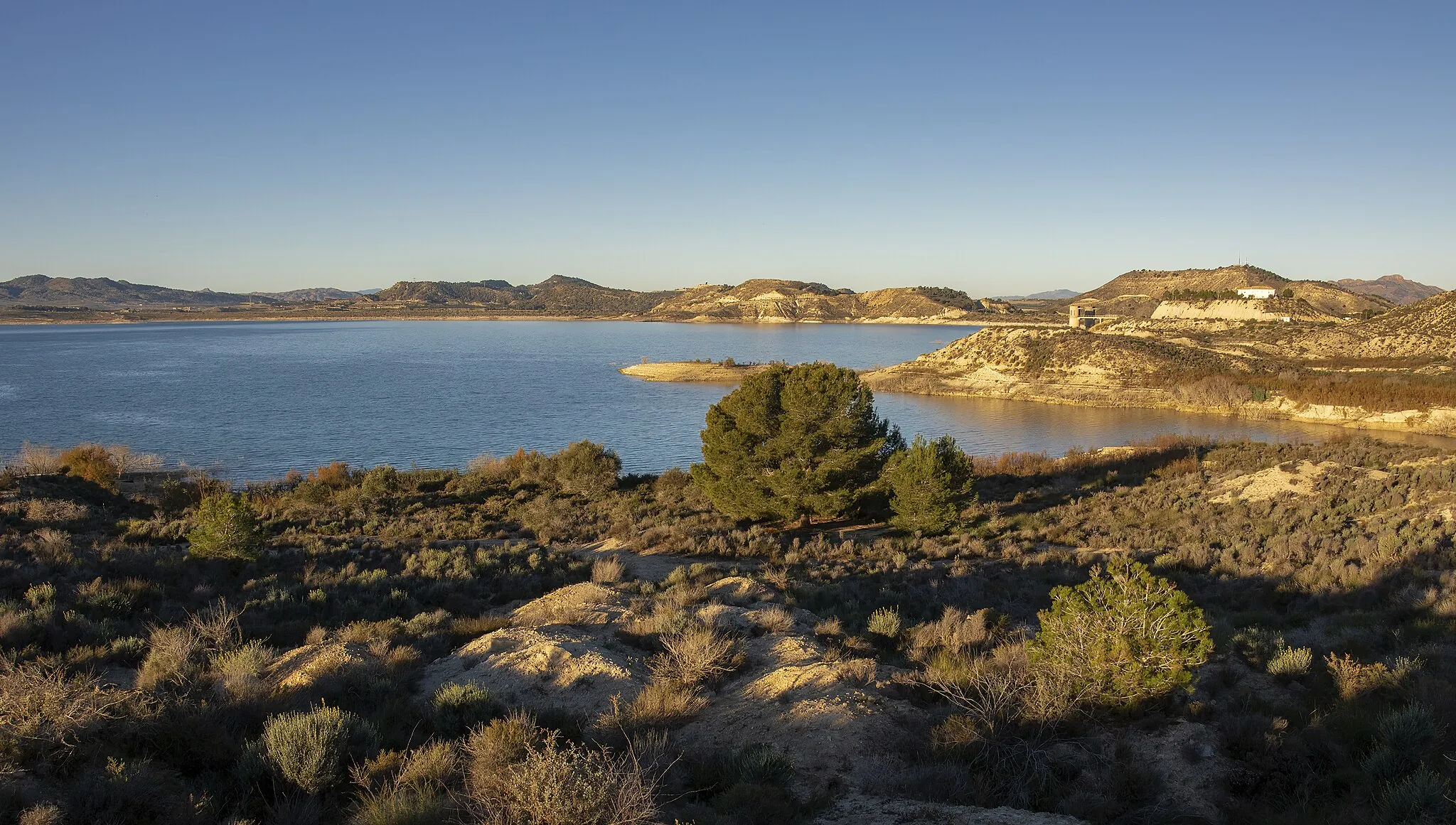
Rincón de BeniscorniaSub-urbRincón de Beniscornia is a hidden gem surrounded by natural beauty, perfect for a quiet picnic or photo opportunity.
106 km
106 km
Pico Bermejo312 mPeakPico Bermejo is a challenging climb rewarded with sweeping views of the rugged landscape.
108 km
108 km
Finish: Santomera City centerSantomera: Varied terrains and cultural heritage in Spain.
Cycling routes from Santomera:
Cycling routes nearby: