Explore cycling diversity in Jordbro, Sweden
Cycling routes from Jordbro
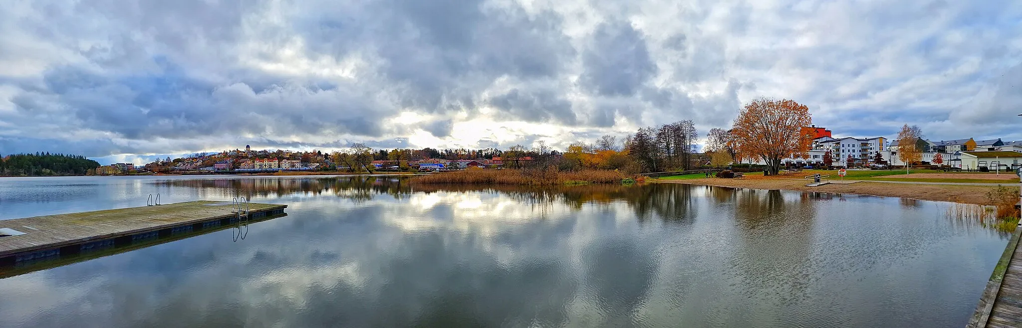
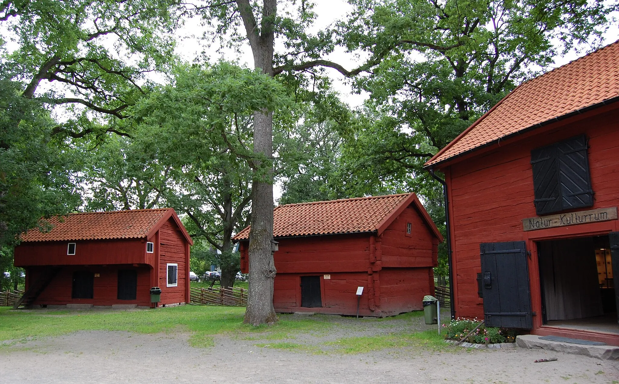
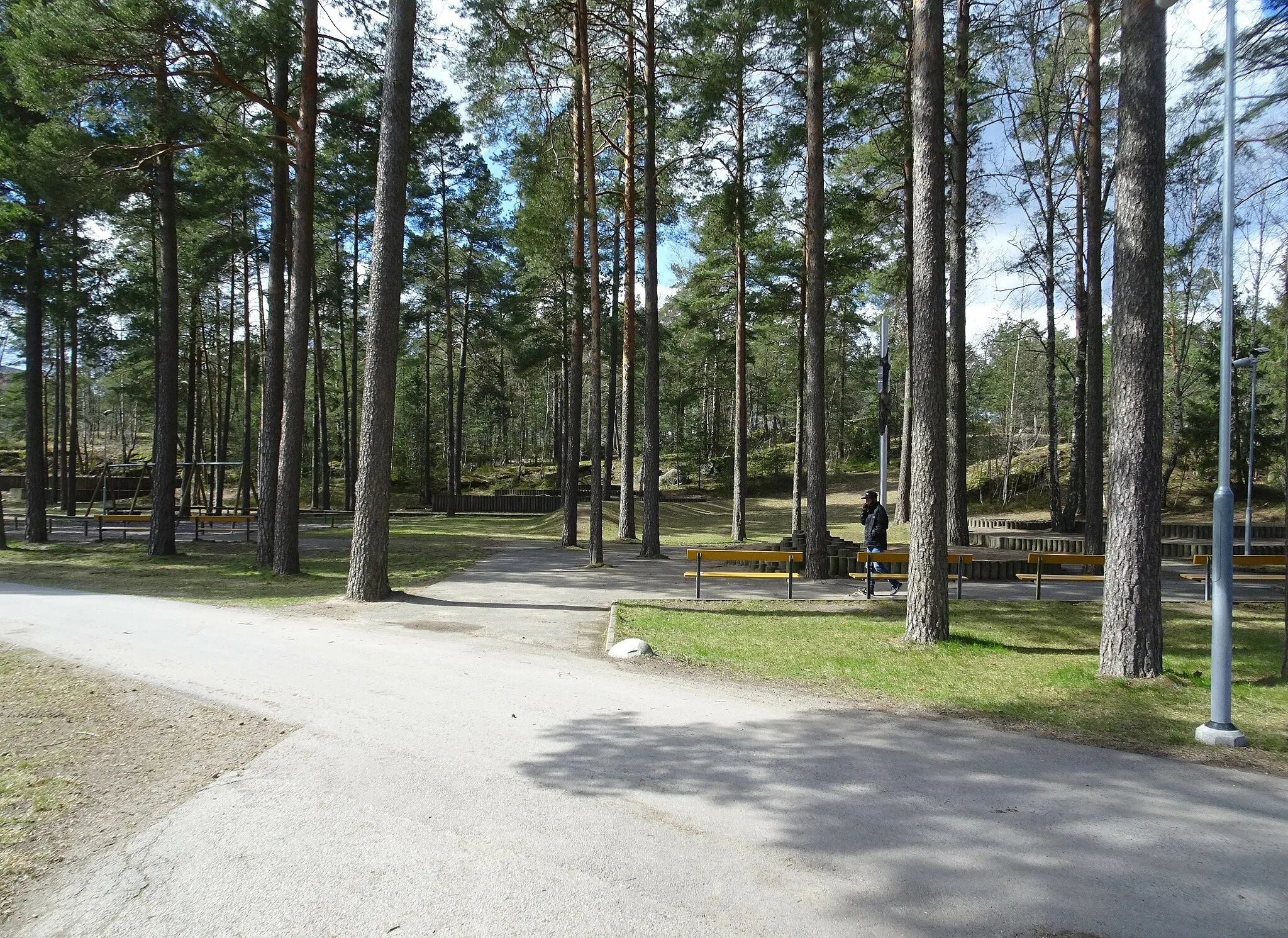
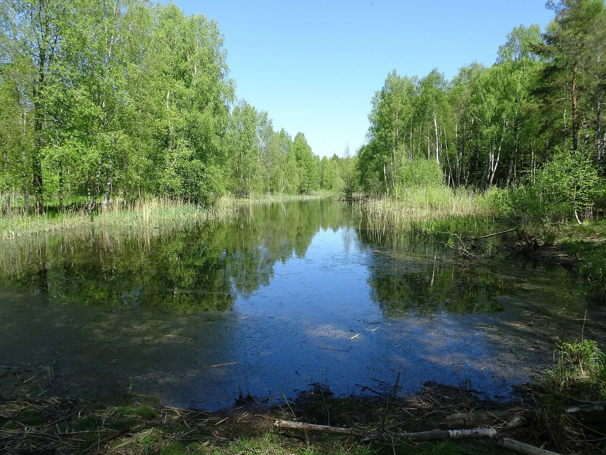
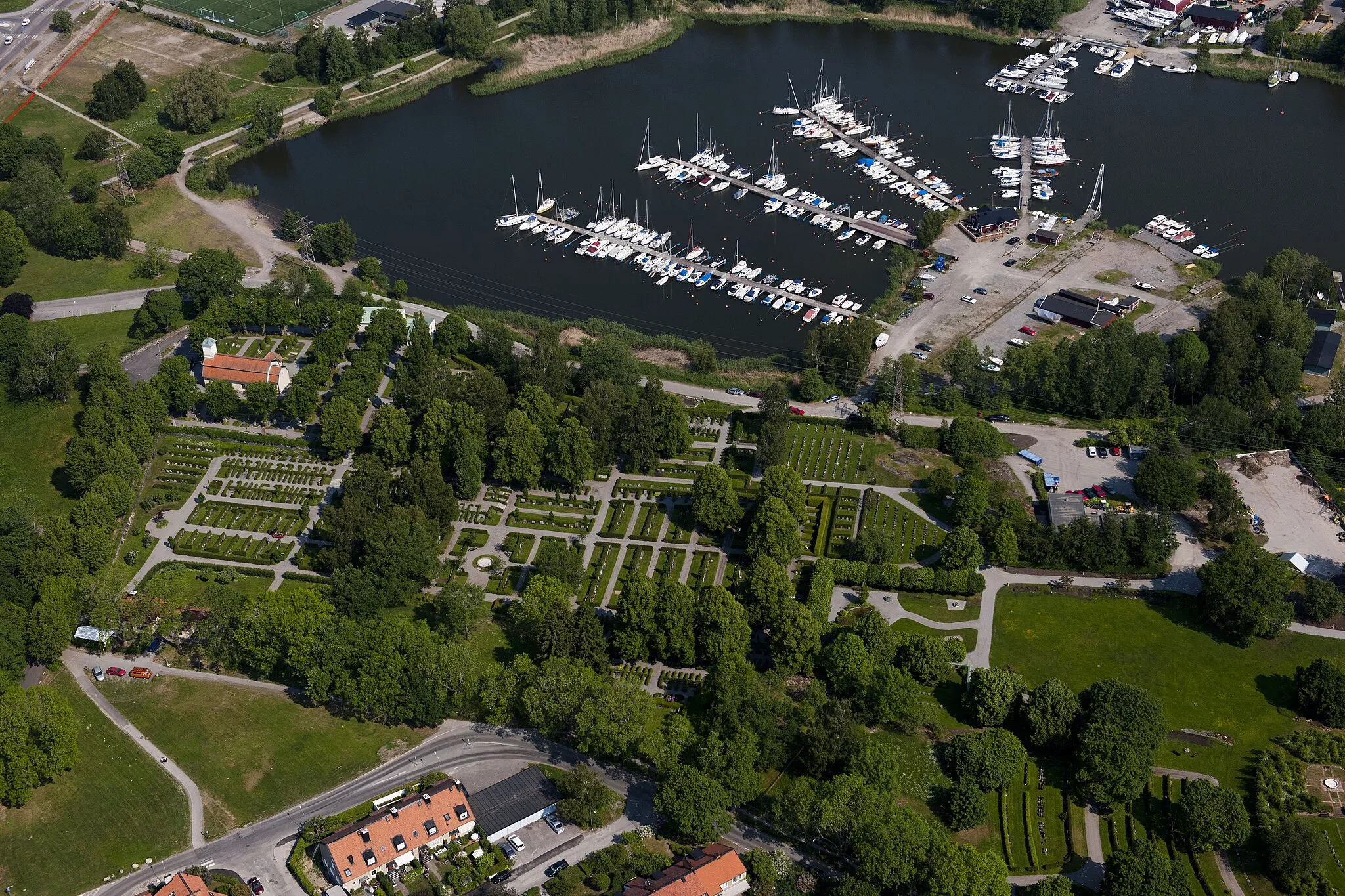
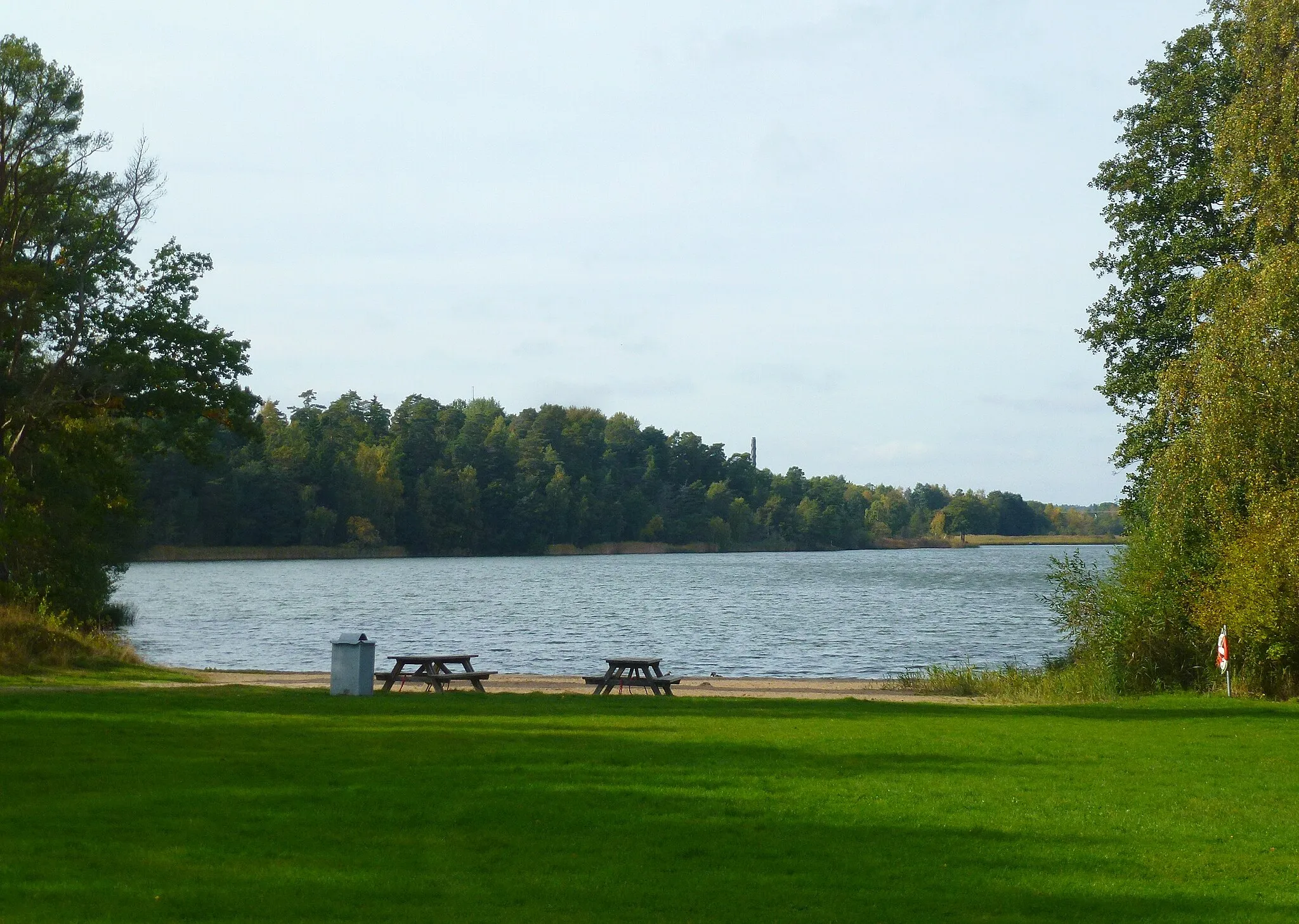
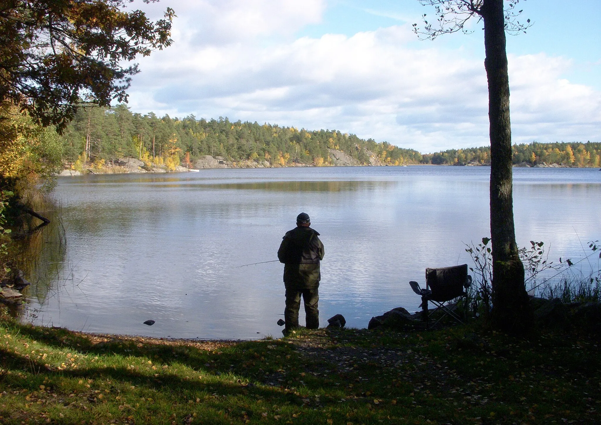
Jordbro, located in Stockholm, Sweden, is a cyclist-friendly locality offering diverse cycling opportunities. The area features a mix of urban and rural cycling routes, making it suitable for both road and gravel cyclists. Cyclists can enjoy cycling through bustling city streets or venture out to scenic countryside roads. Nearby renowned cycling spots include Tyresta National Park, which offers challenging climbs and beautiful forest views. Jordbro is a great destination for cyclists looking for an array of cycling routes and the chance to explore Stockholm's cycling culture.
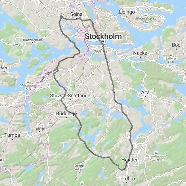
Experience the best of Stockholm in one epic ride
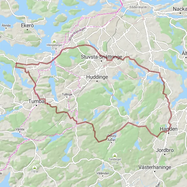
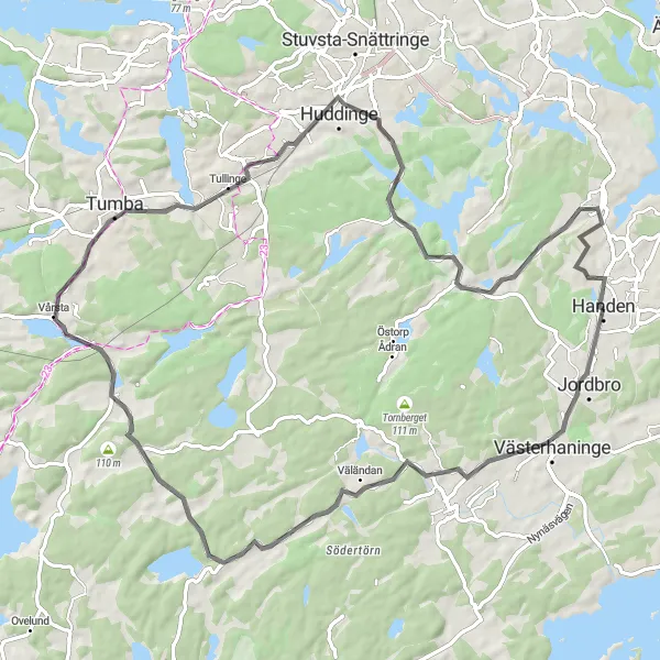
The Ultimate Stockholm Tour is a 66-km road cycling route that showcases the highlights of Stockholm's vibrant cityscape while also taking riders through tranquil nature reserves. With an ascent of 629 meters, this route offers a moderate challenge for well-trained amateur cyclists. Rated with an epicness score of 4, this route combines urban exploration with serene natural scenery, allowing riders to visit Handen, Untsikstsplats Solgårds Fornborg, Sjödalen-Fullersta, Ormberget, and various other exciting locations. Cyclists will get a taste of both the bustling city life and the peacefulness of Stockholm's green spaces. Overall, the Ultimate Stockholm Tour provides a diverse and unforgettable cycling experience that highlights the best of both worlds.
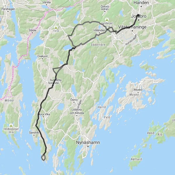
Embark on an epic cycling journey through the challenging terrain of Södertörn
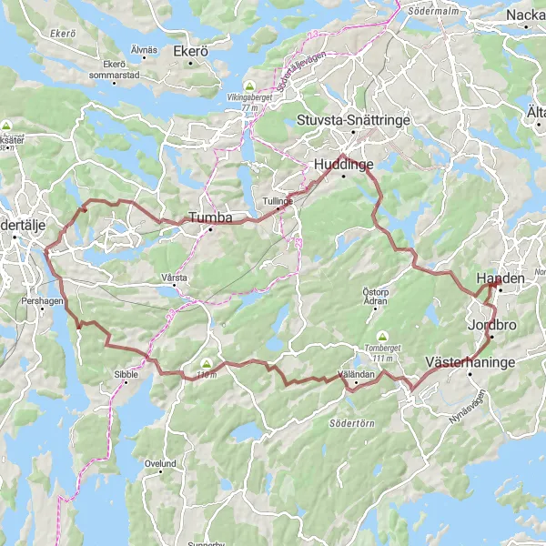
The Södertörn Challenge is a 101 km road cycling route near Stockholm, Sweden. With a significant ascent of 876 meters, this route presents a formidable challenge for experienced cyclists. The highlights along the route include Skogs Ekeby, Grödby, Sorunda, and Västerhaninge. These attractions offer a taste of Södertörn's natural beauty and rich cultural heritage.
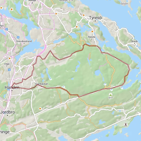
Explore the tranquil surroundings of Handen
The Handen Scenic Route is a 36-km gravel cycling route that starts near Jordbro and showcases the idyllic landscapes surrounding Handen. With an ascent of 268 meters, this route provides a moderate challenge for amateur cyclists. The route is rated with an epicness score of 2, offering riders a serene cycling experience through peaceful nature reserves and picturesque Swedish countryside. The Handen Scenic Route provides riders with the opportunity to visit Handen, Vendelsö, Åvaviken, and a bird tower overlooking surrounding wetlands. Overall, this route allows cyclists to immerse themselves in the quiet beauty of the Handen area and enjoy a peaceful ride away from the bustling city.
Tranquil Forest Ride
Discover the secluded beauty of Stockholm's forests
The Tranquil Forest Ride is a 65-km gravel cycling route that leads riders through Stockholm's enchanting forests and hidden gems. With an ascent of 555 meters, this route offers a challenging yet rewarding experience for well-trained amateur cyclists. Rated with an epicness score of 3, this route allows riders to explore Trylens vindskydd, Hallunda, Snättringe, Högdalstoppen, and Handen. Throughout the journey, cyclists will be surrounded by lush greenery and peaceful nature reserves, providing a serene cycling experience away from the city's hustle and bustle. Overall, the Tranquil Forest Ride offers a wilderness adventure that showcases the natural beauty of Stockholm's forests.
Embark on a historical and adventurous cycling journey
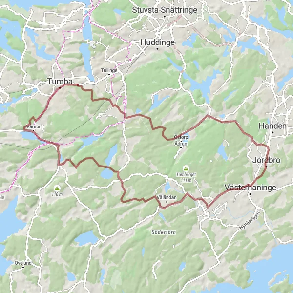
The Untsikstsplats Solgårds Fornborg Exploration is an 84-km gravel cycling route starting near Jordbro that takes riders through scenic landscapes and ancient historical sites. With an impressive ascent of 784 meters, this route is considered moderately difficult for amateur cyclists. Rated with an epicness score of 4, this route offers riders a thrilling adventure through Västerhaninge, Brink, Östertälje, Tullinge, and the Untsikstsplats Solgårds Fornborg. Cyclists will witness breathtaking views from different vantage points and have the chance to explore the historic Solgårds Fornborg archaeological site. Overall, this route combines the joy of cycling with captivating historical discoveries, making it a truly unforgettable experience.
Discover the natural wonders and rich history of the Stockholm Archipelago on this road cycling route
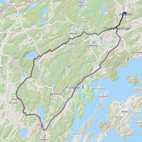
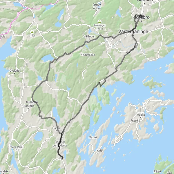
The Archipelago Escape is a 61 km road cycling route near Stockholm, Sweden. With a total ascent of 531 meters, cyclists will traverse stunning coastal roads and scenic forest trails. The highlights along the route include Västerhaninge, Landfjärden, Ösmo, Grödby, and Krigslida. These attractions showcase the unique and diverse landscapes found within the Stockholm Archipelago.
Experience the scenic beauty and historical landmarks along this road cycling route near Jordbro
The Jordbro Circuit is a 75 km road cycling route near Stockholm, Sweden. With a total ascent of 654 meters, this route offers a mix of rolling countryside roads and challenging climbs. The highlights along the route include Vårsta, Rönninge, Tullinge, Untsikstsplats Solgårds fornborg, and Trylens vindskydd, each offering unique glimpses into the history and natural beauty of the area.
Värmdö Trail
Embark on an exhilarating road cycling journey through picturesque landscapes near Jordbro
The Värmdö Trail is a 67 km road cycling route near Stockholm, Sweden. With a total ascent of 592 meters, this route offers both challenging climbs and sweeping descents. The highlights along the route include Västerhaninge, Vårsta, Tullinge, Untsikstsplats Solgårds fornborg, and Vega. These attractions showcase the diverse natural beauty and cultural heritage of the area.
Experience the rugged beauty of the Swedish countryside on this gravel cycling route.
This 62km gravel adventure near Jordbro takes you through the scenic landscapes of Sweden. With an elevation gain of 567m, you'll pass through Västerhaninge, Norrga, Bremora, and Jordbro. The route is suitable for well-trained amateurs and offers a moderate level of difficulty (3 out of 5). It has an epicness score of 4 out of 5, showcasing the stunning natural beauty of the region. Highlights along the route include Västerhaninge, a charming village with traditional Swedish architecture, and Jordbro, a historic area known for its cultural heritage and scenic surroundings.
Västerhaninge Loop
A captivating loop exploring the outskirts of Stockholm
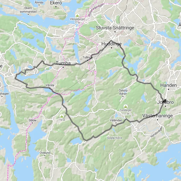
The Västerhaninge Loop is a diverse cycling route that takes riders through the outskirts of Stockholm, offering a variety of beautiful landscapes and interesting sights. The 73-km road route starts near Jordbro and takes cyclists on a journey through Västerhaninge, Landfjärden, Ösmo, Grödby, and Krigslida. With an ascent of 571 meters, this route provides a moderate challenge for well-trained amateur cyclists. The route has an epicness rating of 3, making it an enjoyable and rewarding experience for riders of all skill levels. Overall, the Västerhaninge Loop offers a unique perspective of Stockholm's surrounding areas and showcases the natural beauty of the region.
Cycling routes nearby:

Nearby regions: