Handen Scenic Route
A gravel cycling route starting from Jordbro
Explore the tranquil surroundings of Handen
Map
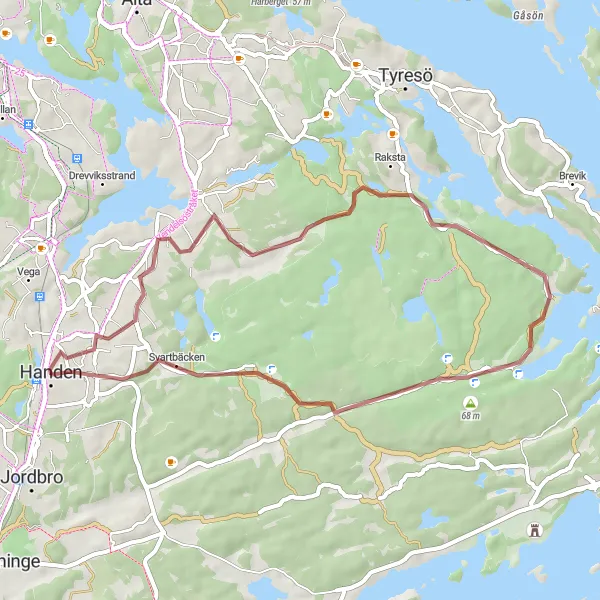
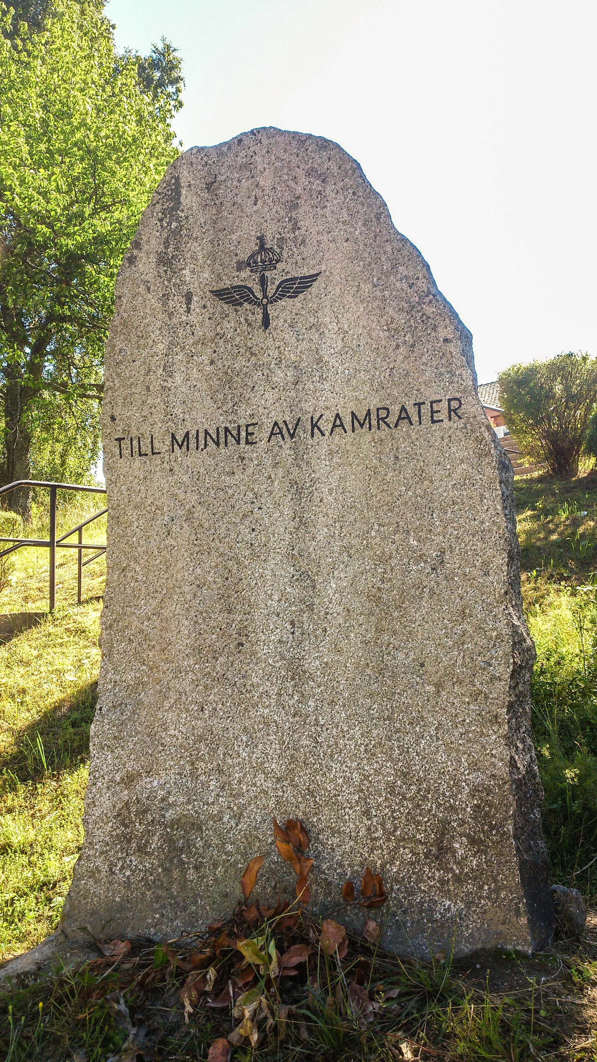
The Handen Scenic Route is a 36-km gravel cycling route that starts near Jordbro and showcases the idyllic landscapes surrounding Handen. With an ascent of 268 meters, this route provides a moderate challenge for amateur cyclists. The route is rated with an epicness score of 2, offering riders a serene cycling experience through peaceful nature reserves and picturesque Swedish countryside. The Handen Scenic Route provides riders with the opportunity to visit Handen, Vendelsö, Åvaviken, and a bird tower overlooking surrounding wetlands. Overall, this route allows cyclists to immerse themselves in the quiet beauty of the Handen area and enjoy a peaceful ride away from the bustling city.
gravel
36 km
268 m
Chill
Route profile
Highlights on the route
0 km
0 km
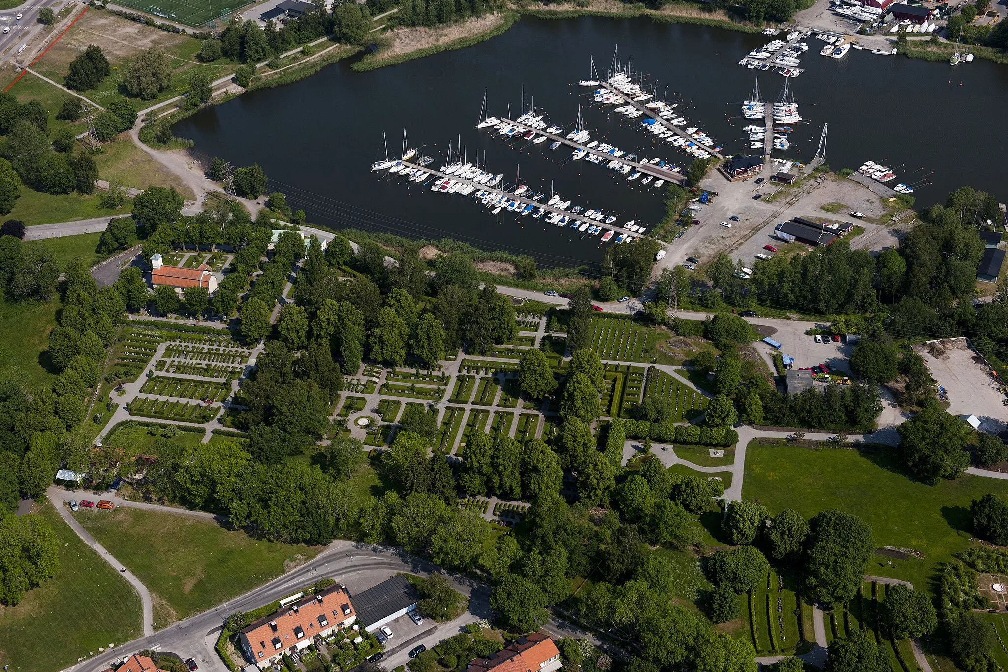
Start: Handen City centerJordbro: Explore cycling diversity in Jordbro, Sweden
Jordbro, located in Stockholm, Sweden, is a cyclist-friendly locality offering diverse cycling opportunities. The area features a mix of urban and rural cycling routes, making it suitable for both road and gravel cyclists. Cyclists can enjoy cycling through bustling city streets or venture out to scenic countryside roads. Nearby renowned cycling spots include Tyresta National Park, which offers challenging climbs and beautiful forest views. Jordbro is a great destination for cyclists looking for an array of cycling routes and the chance to explore Stockholm's cycling culture.0 km
0 km
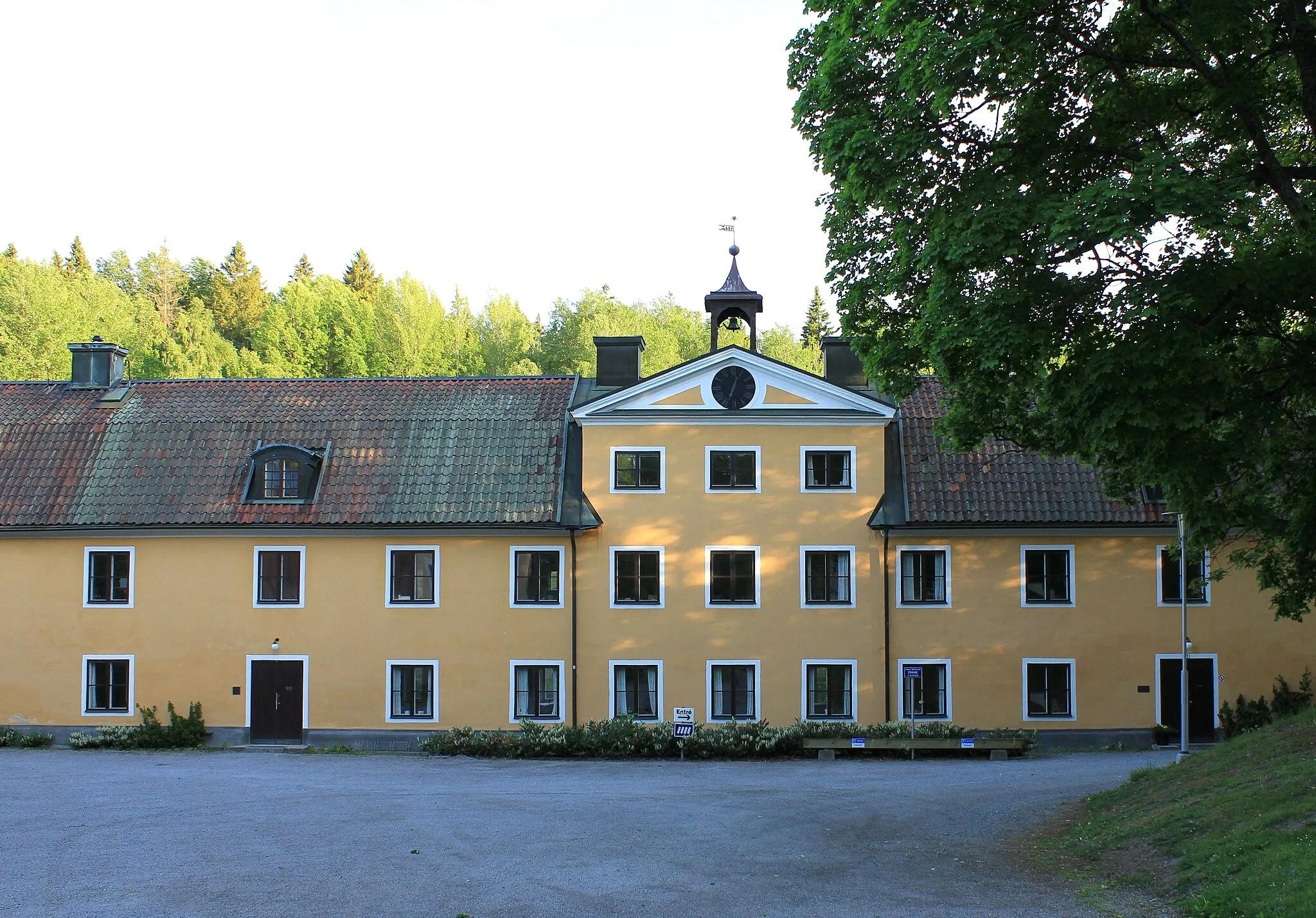
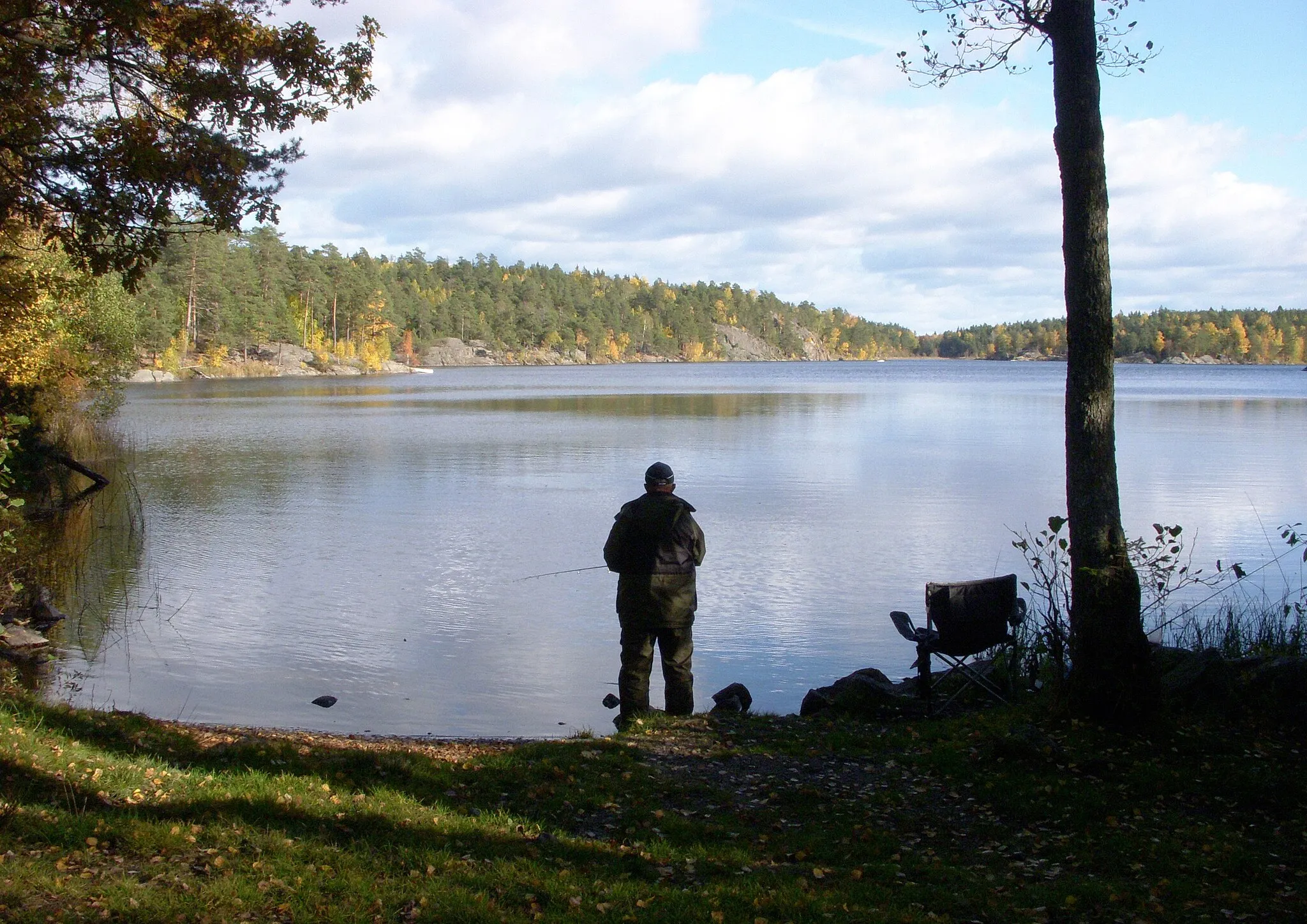
HandenTownHanden is the starting point of the route and serves as the gateway to the tranquil surroundings of the region.
5 km
5 km
VendelsöSub-urbVendelsö is a charming town along the route that offers riders a chance to experience genuine Swedish countryside.
21 km
21 km
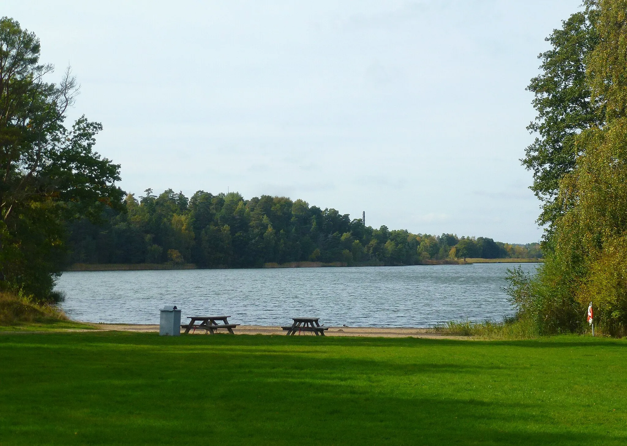
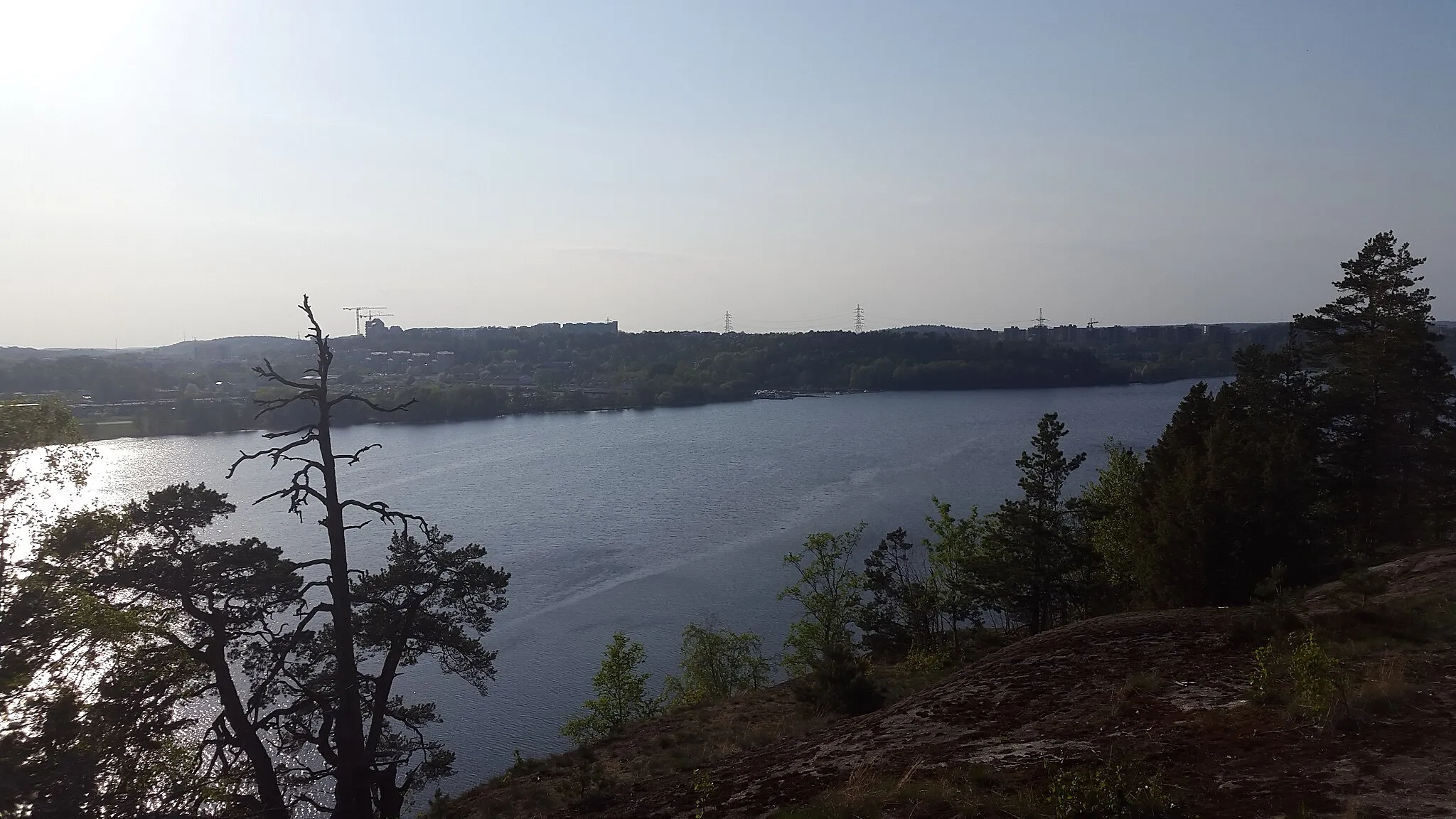
ÅvavikenHamletÅvaviken is a pristine nature reserve with a diverse ecosystem, providing riders with the opportunity to spot various bird species.
29 km
29 km
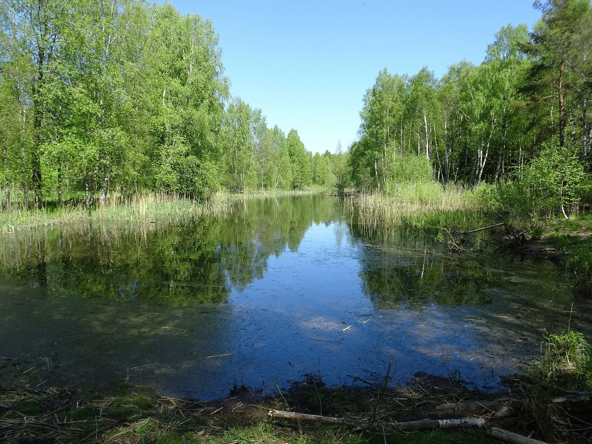
Bird towerViewpointThe bird tower along the route offers a fantastic viewpoint to observe the rich wildlife in the wetland area.
36 km
36 km
Finish: Handen City centerJordbro: Explore cycling diversity in Jordbro, Sweden
Cycling routes nearby: