Solothurn Loop Road Route
A road cycling route starting from Bettlach
Embark on a picturesque road journey around the enchanting city of Solothurn.
Map
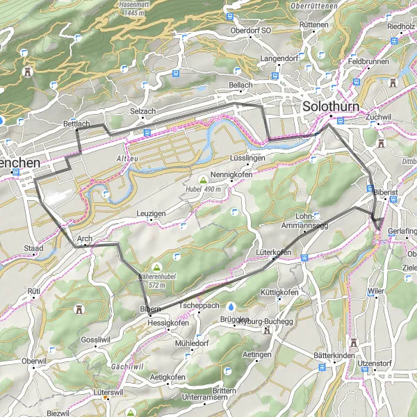
This road route offers a delightful cycling experience around the beautiful city of Solothurn. With a total ascent of 244 meters and a distance of 34 kilometers, it is suitable for well-trained amateurs looking for an enjoyable ride. The route provides breathtaking views of Solothurn's old town and its captivating architecture. Highlights along the way include the Hunnenberg hill, Solothurn's numerous historical sights, Näherenhubel, and a return to Bettlach itself, ending the journey with a sense of accomplishment.
road
34 km
244 m
Chill
Route profile
Highlights on the route
0 km
0 km
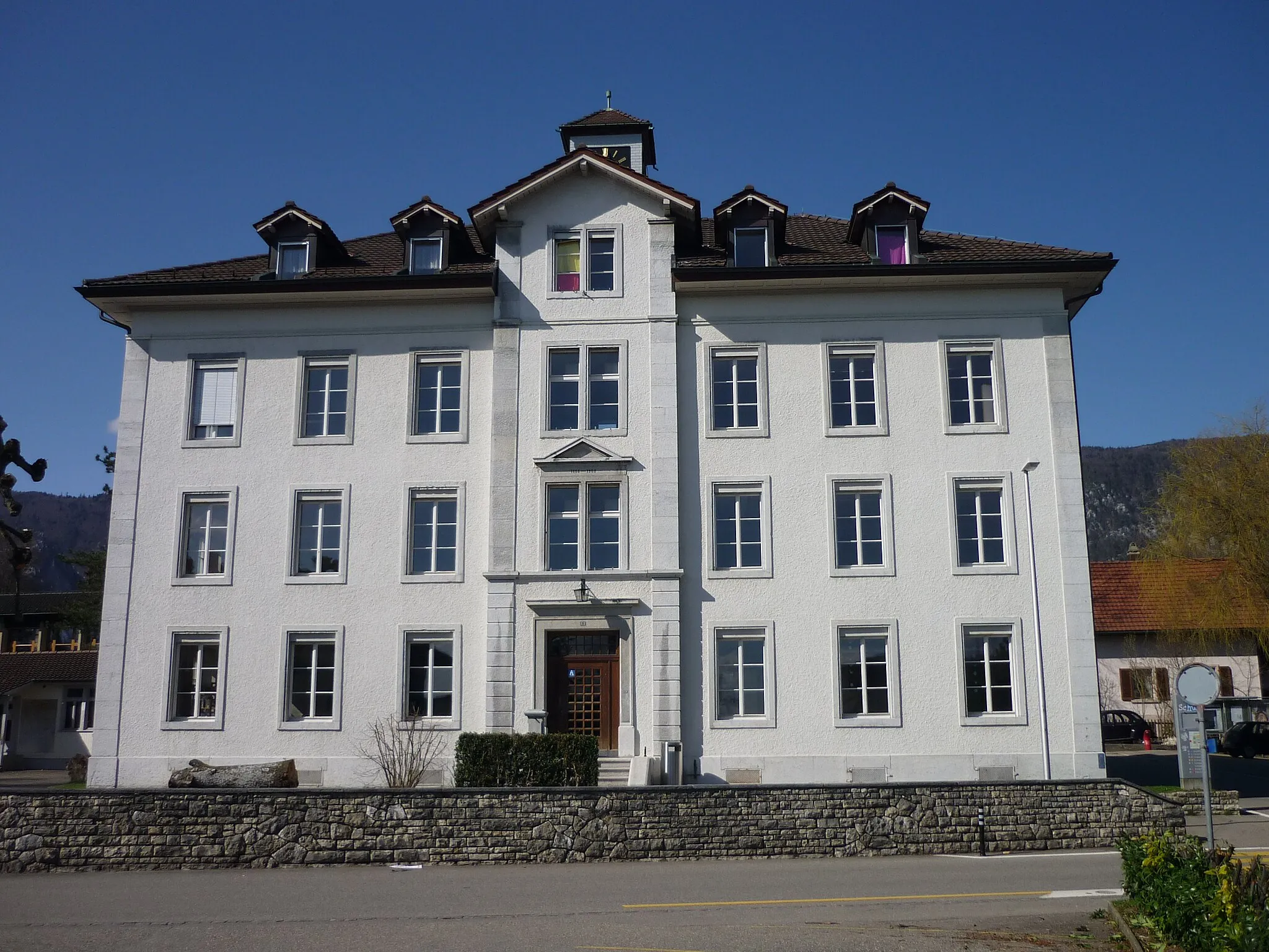
Start: Bettlach Village centerBettlach: Bettlach - Smooth rides and nearby climbs.
Bettlach, situated in Espace Mittelland, Switzerland, provides moderate options for road and gravel cycling. The roads in Bettlach are generally well-maintained, enabling smooth rides. However, there are limited dedicated cycling paths in the area. Although Bettlach does not have any prominent cycling-related spots, there are a few notable climbs nearby, including Opicina Triestina Pass and Homburger Kante. These climbs offer a decent challenge for cycling enthusiasts. Overall, Bettlach is a satisfactory locality for regular cycling but lacks exceptional features.9 km
9 km
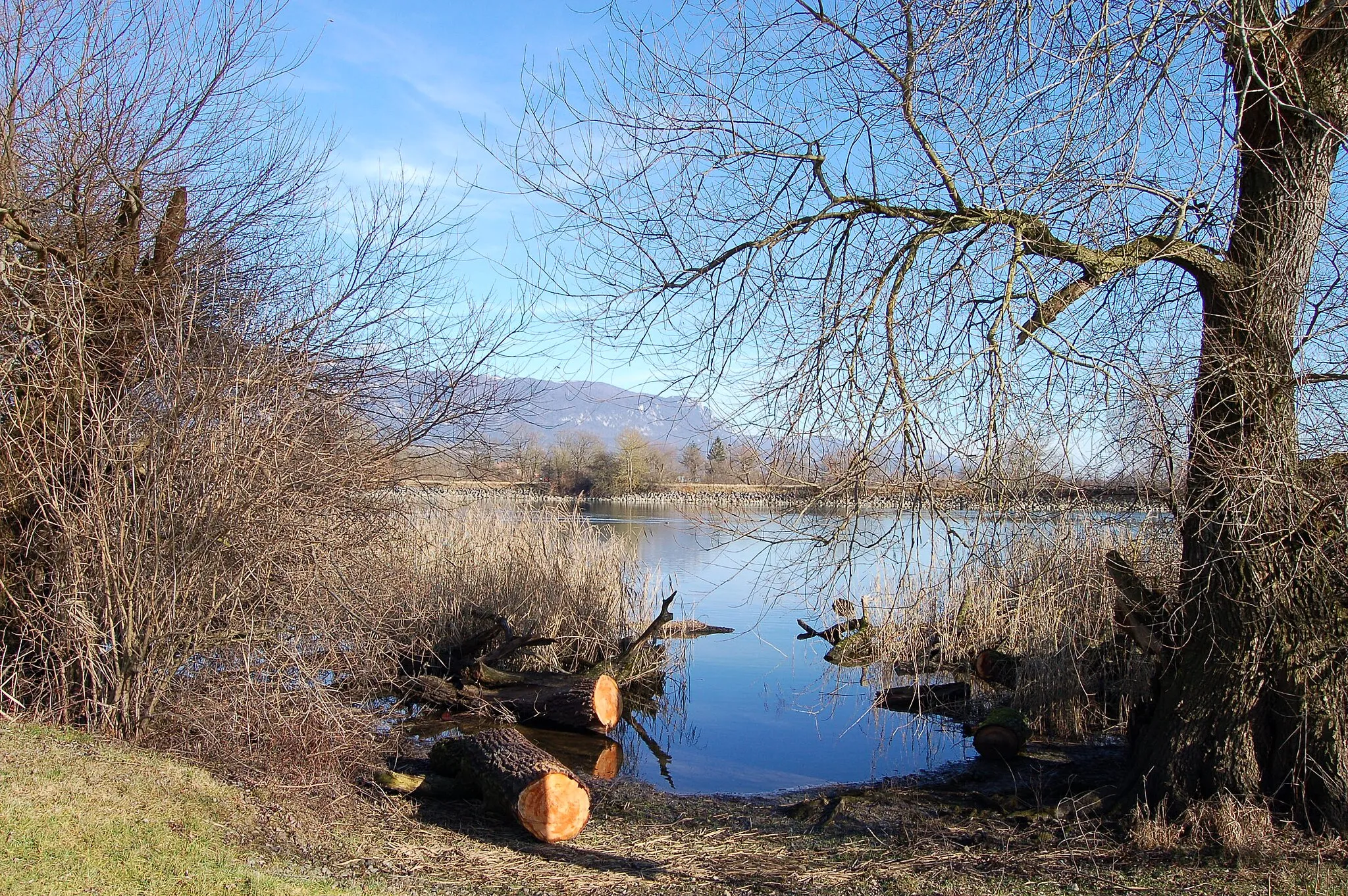
Hunnenberg490 mPeakHunnenberg hill offers stunning views of the surrounding landscapes and is a popular spot for cyclists.
10 km
10 km
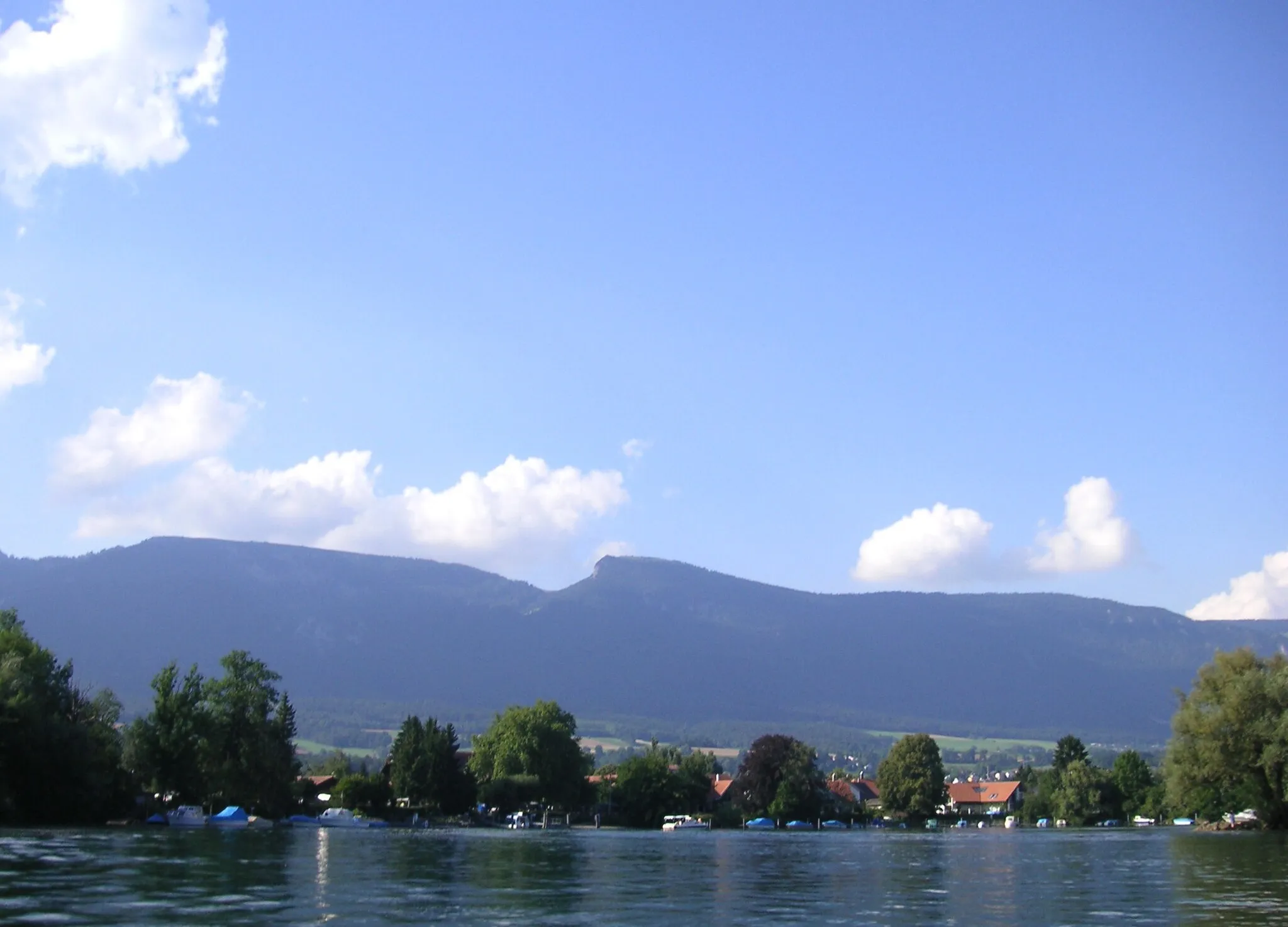
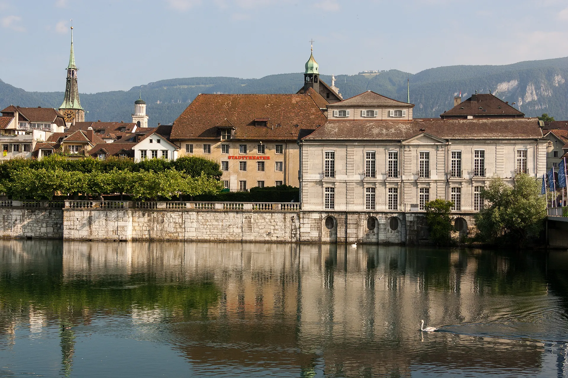
SolothurnTownSolothurn, the jewel of Espace Mittelland, is known for its charming old town and impressive landmarks.
25 km
25 km
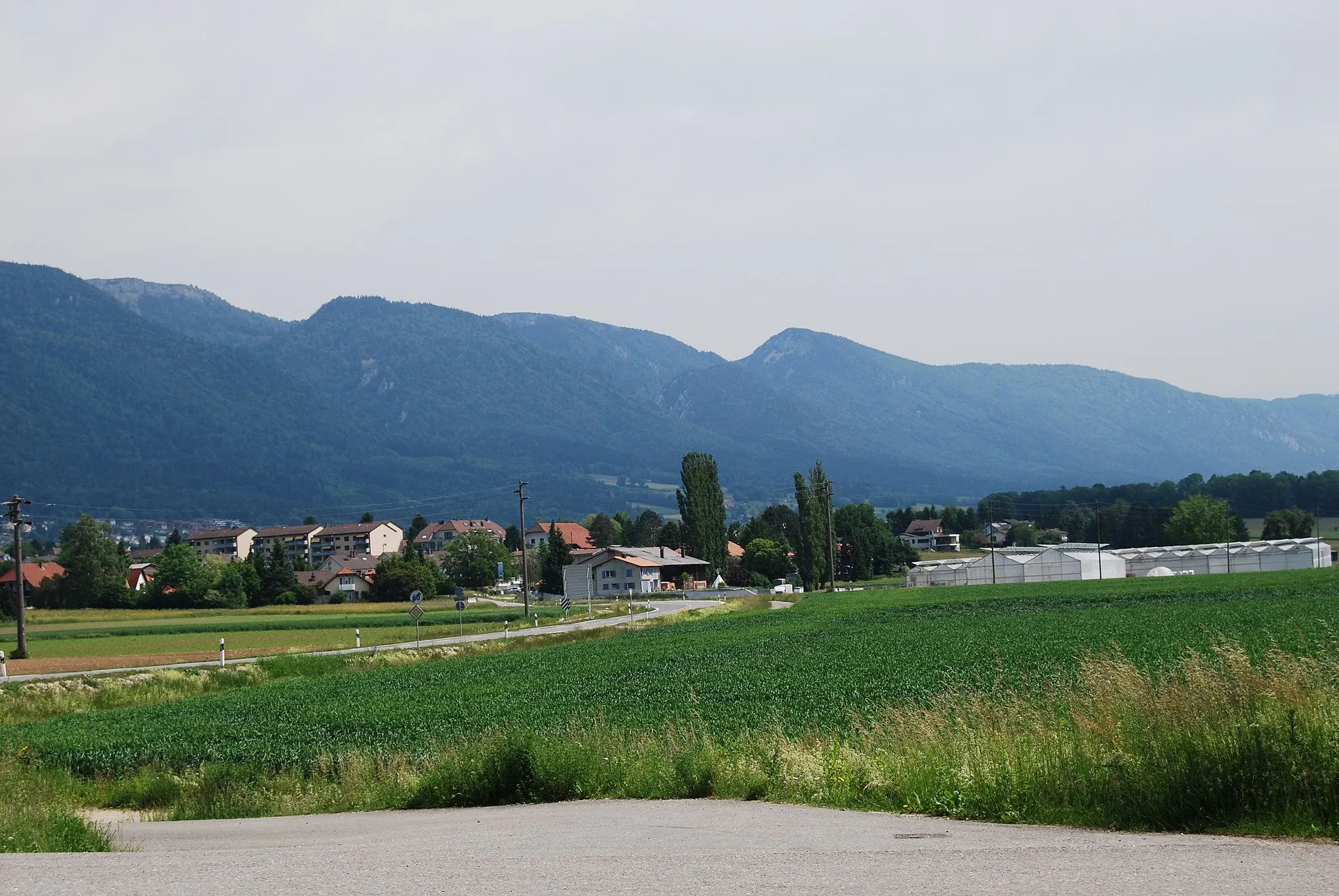
Näherenhubel572 mPeakNäherenhubel provides a peaceful natural setting and great views of the nearby hills.
28 km
28 km
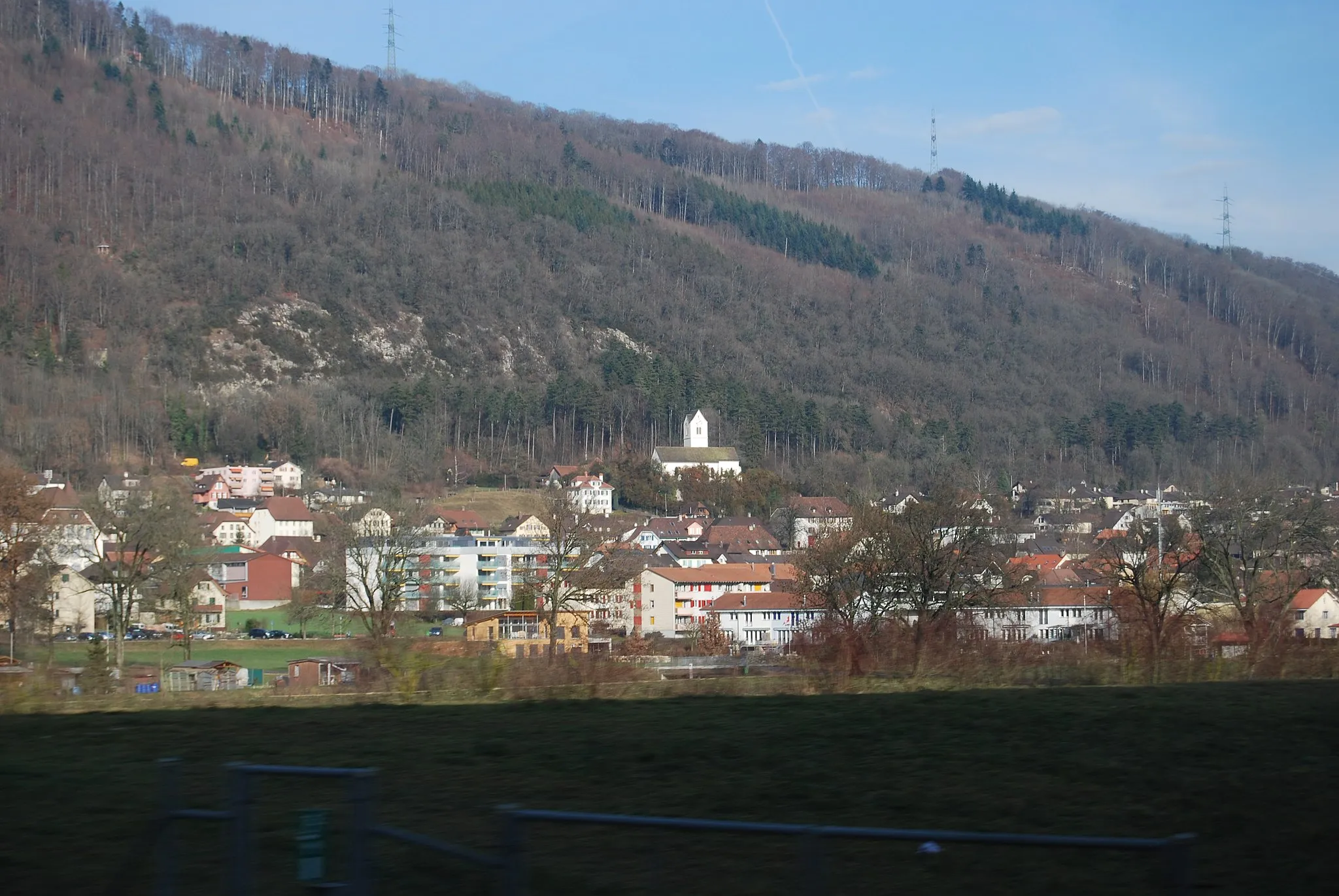
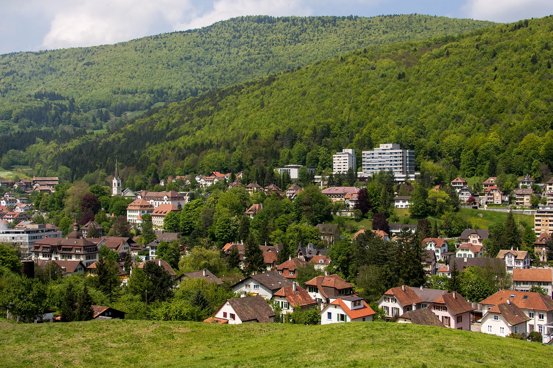
ArchVillageArch village makes an appearance in this route, offering a glimpse of its unique character.
34 km
34 km
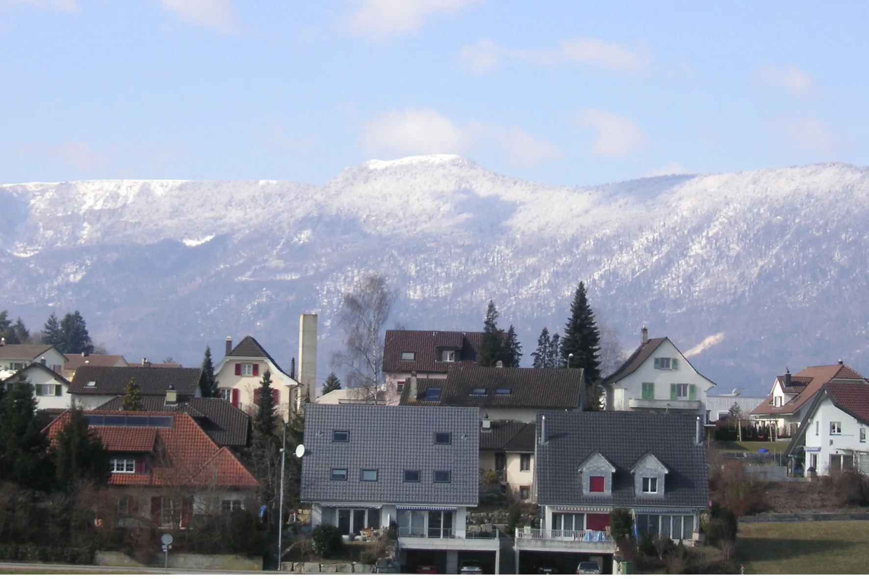
BettlachVillageReturning to Bettlach, you can reflect on your enjoyable journey and take pride in your accomplishment.
34 km
34 km
Finish: Bettlach Village centerBettlach: Bettlach - Smooth rides and nearby climbs.
Cycling routes from Bettlach:
Cycling routes nearby: