The Noir Bos Challenge
A road cycling route starting from Bevilard
Conquer the challenging climb up Noir Bos and enjoy breathtaking views along the way
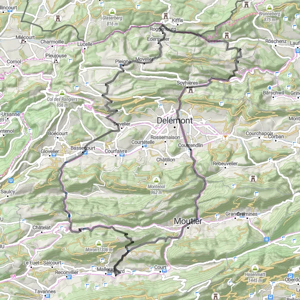
Map
This road cycling route takes you through scenic landscapes and challenging ascents, leading to the iconic Noir Bos peak. With a moderate difficulty level, it is suitable for well-trained amateur cyclists.
road
88 km
2261 m
Tough
Route profile
Highlights on the route
0 km
0 km
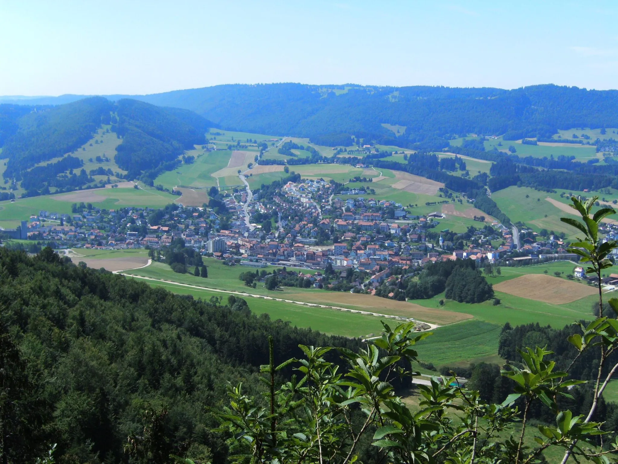
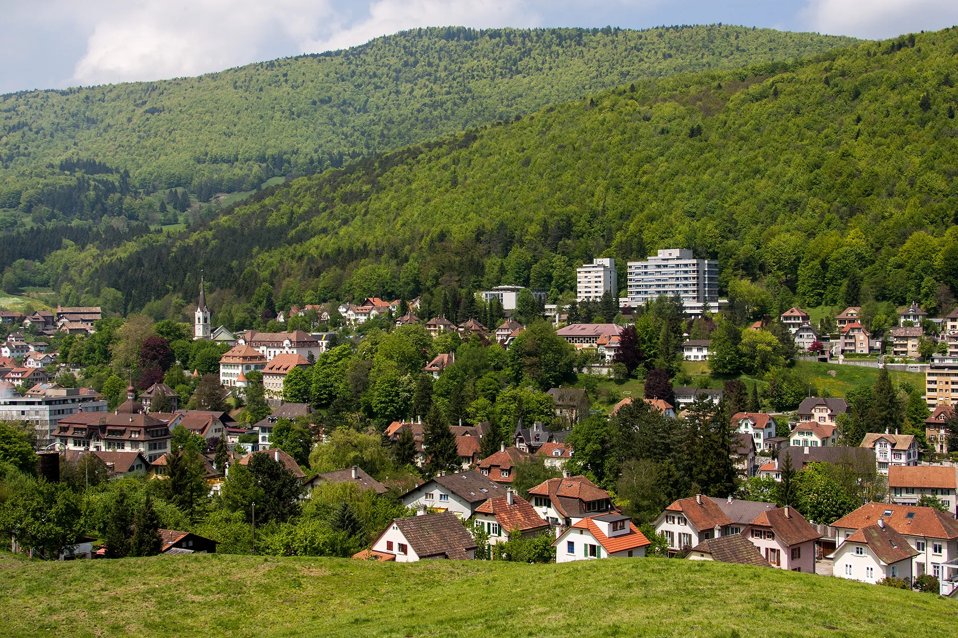
Start: Bévilard Village centerBévilard: Cycling paradise with stunning Alpine views.
Bévilard, located in Switzerland's Espace Mittelland region, is a picturesque town that offers great cycling opportunities. The roads in and around Bévilard are well-maintained, making them ideal for both road and gravel cyclists. Cyclists can explore the beautiful surrounding countryside, passing through charming villages and enjoying stunning views of the Swiss Alps. Bévilard is also home to several famous cycling spots, including the challenging climb up the nearby Chasseral mountain. With its scenic routes and cycling-friendly atmosphere, Bévilard is a must-visit destination for cyclists of all levels.10 km
10 km
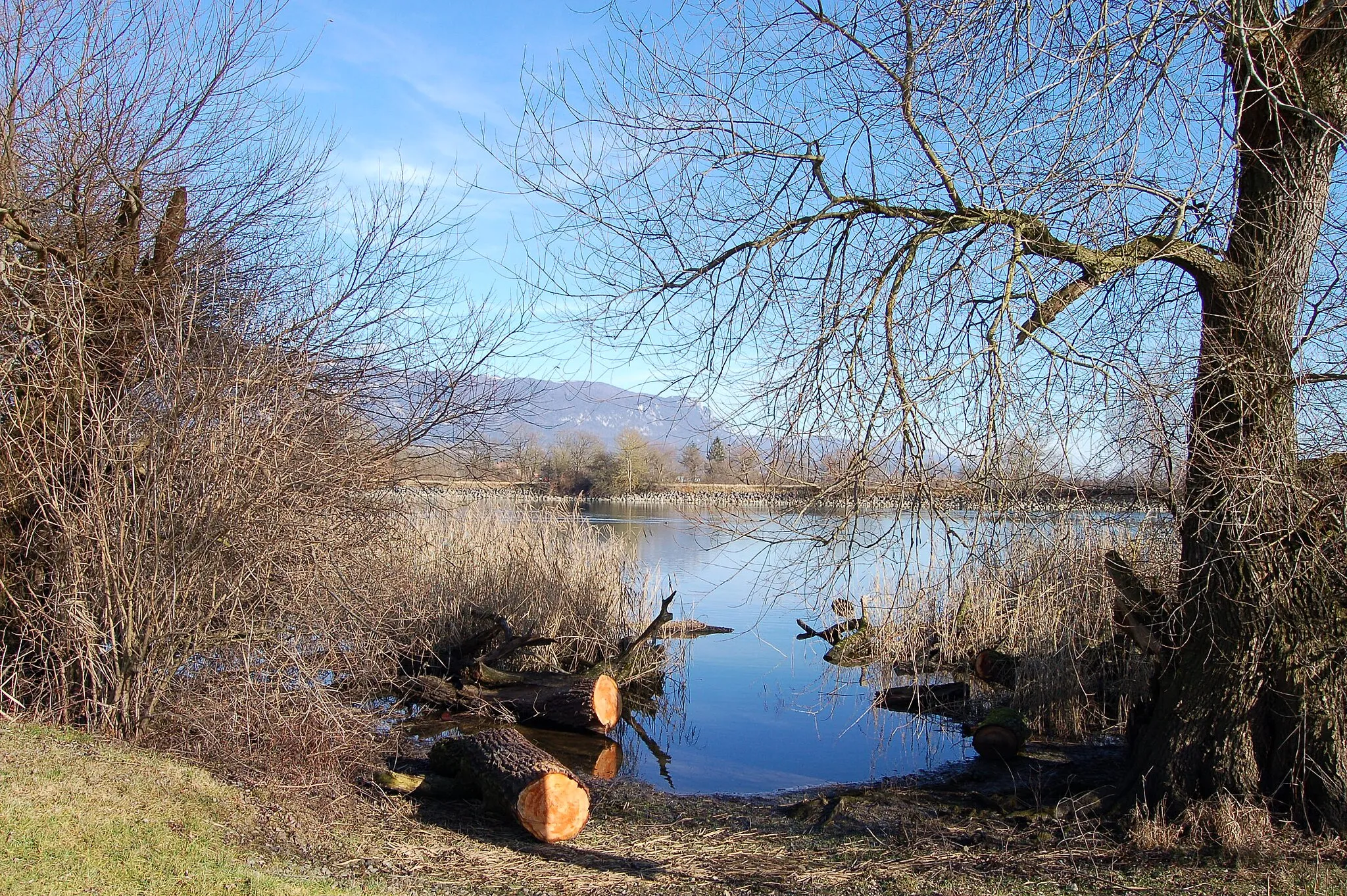
Le Noir Bos1103 mPeakLe Noir Bos offers a thrilling climb and rewards with panoramic views of the surrounding valleys.
16 km
16 km
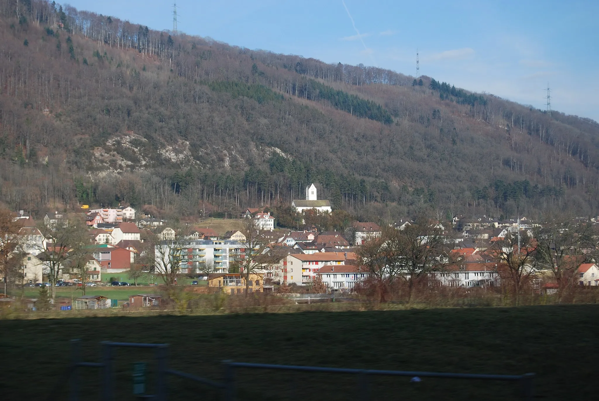
UndervelierVillageUndervelier is a picturesque village with charming Swiss architecture and cozy cafes.
37 km
37 km
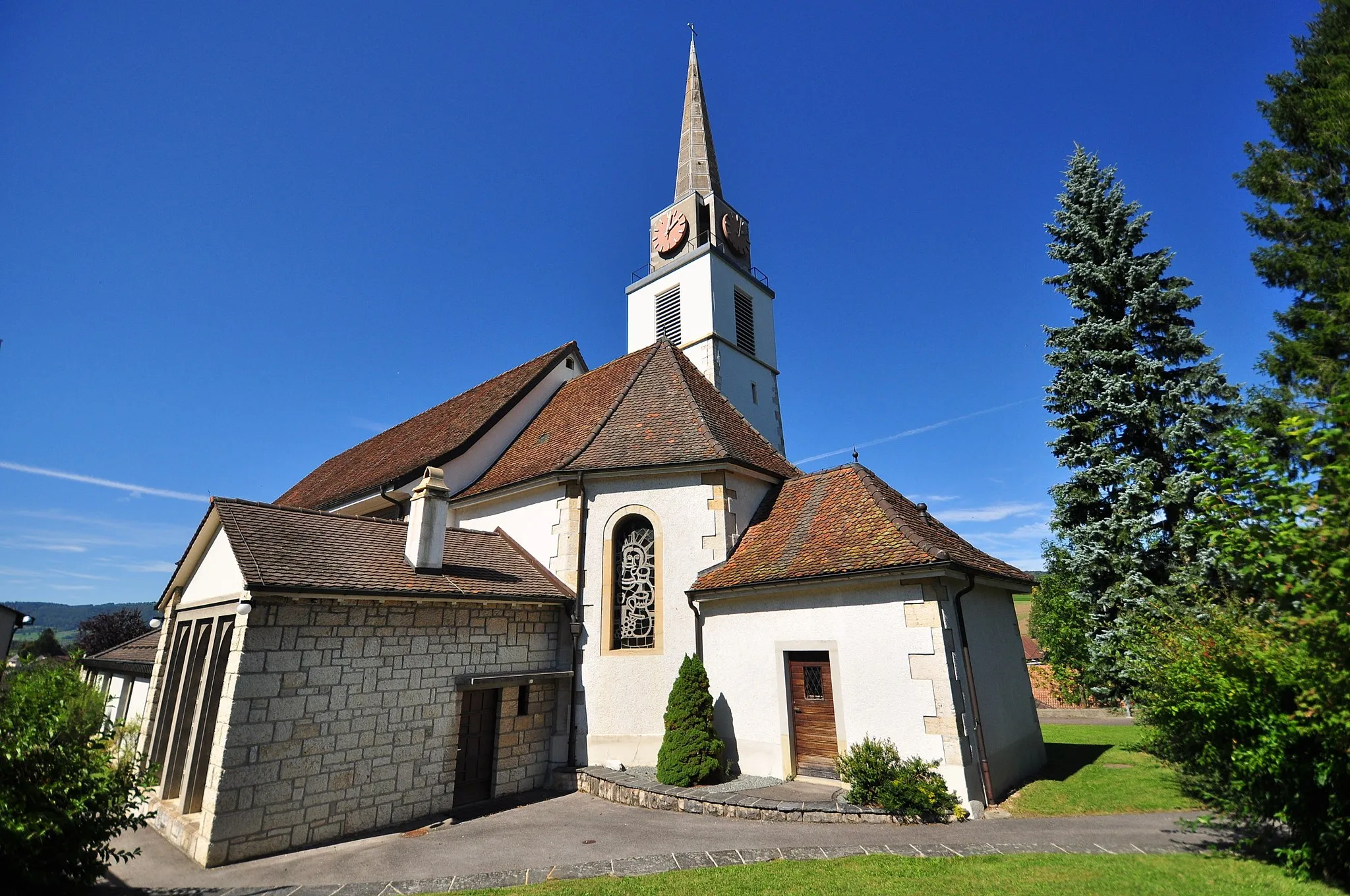
PleigneVillageCycle through the quaint town of Pleigne, known for its traditional crafts and friendly locals.
51 km
51 km
KleinlützelVillageKleinlützel invites you to relax and enjoy the lush green meadows and Swiss countryside.
55 km
55 km
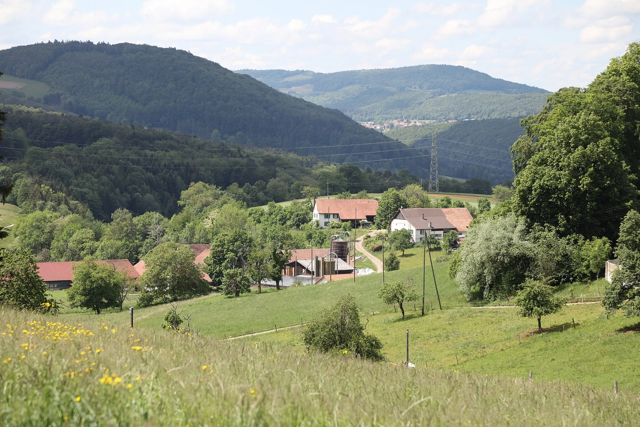
Räschberg752 mPeakRäschberg is a scenic spot that offers stunning views of the Jura Mountains.
69 km
69 km
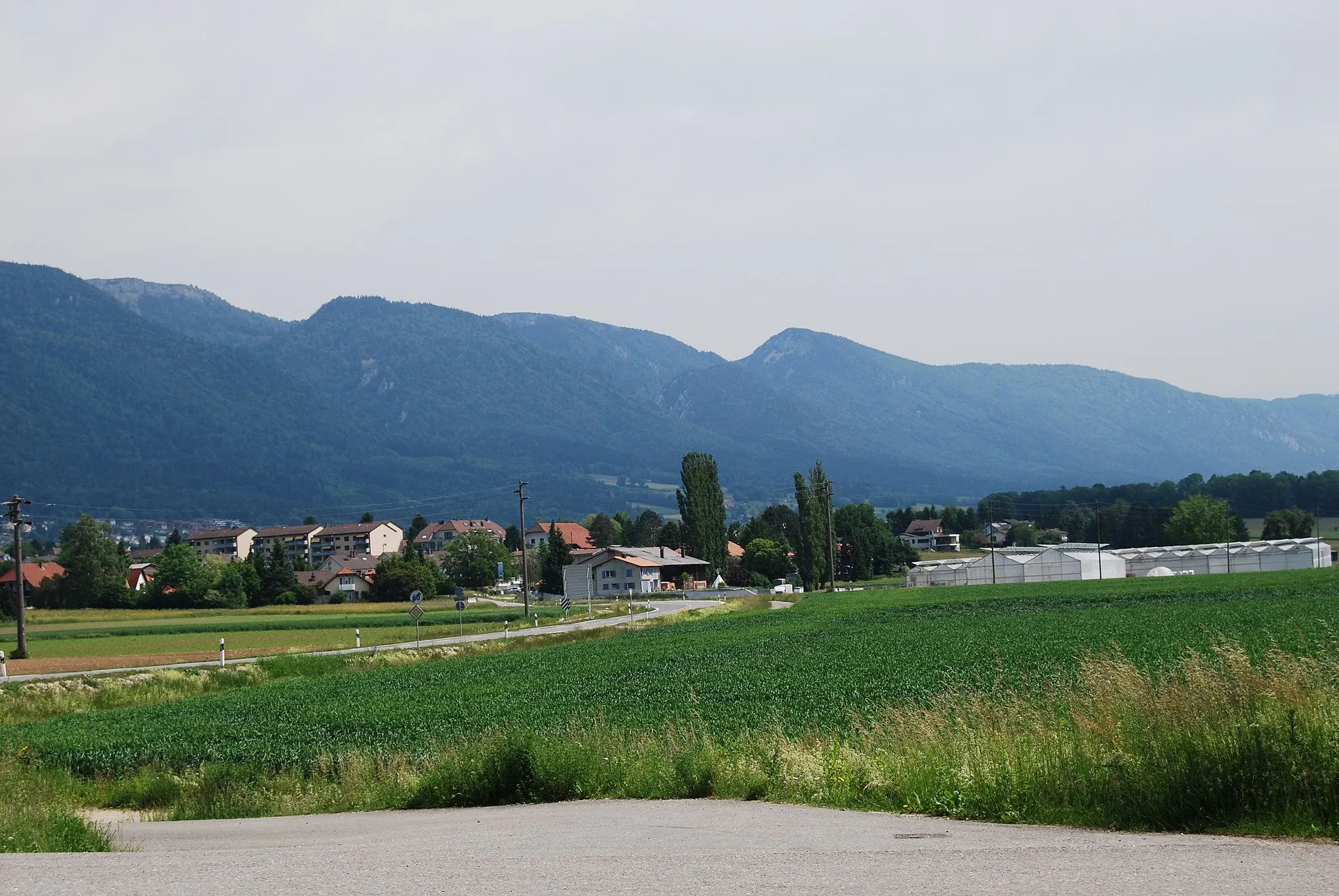
CourrendlinVillageCourrendlin is a vibrant town with a rich history and charming streets.
77 km
77 km
Plateau d'observationViewpointVisit the Plateau d'observation for a breathtaking panoramic view of the surrounding landscapes.
88 km
88 km
BévilardVillageBévilard is the starting point of the route and a charming Swiss village with a welcoming atmosphere.
88 km
88 km
Finish: Bévilard Village centerBévilard: Cycling paradise with stunning Alpine views.
Cycling routes nearby: