Cernier's Scenic Gravel Loop with Diverse Highlights
A gravel cycling route starting from Cernier
An adventurous gravel route with diverse landscapes
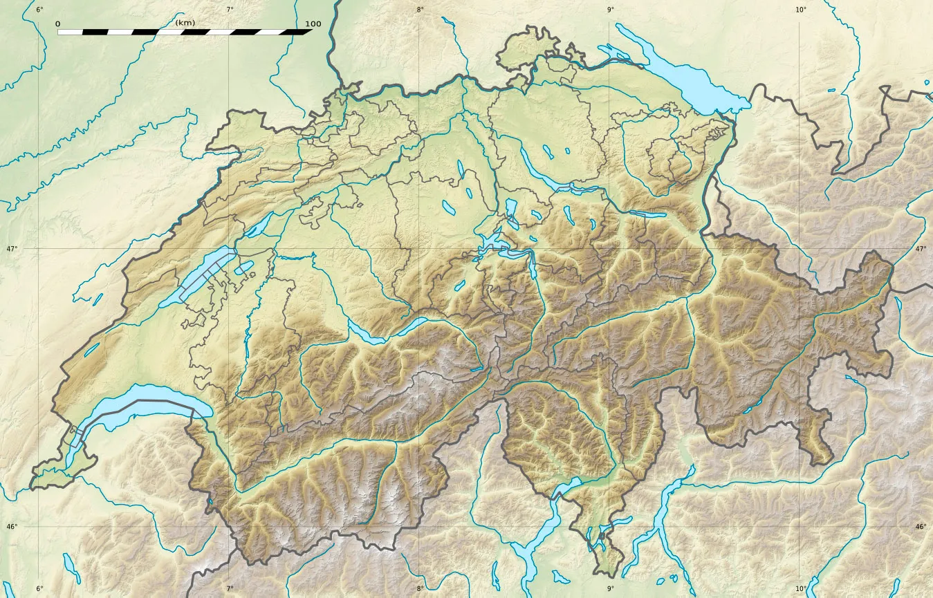
Map
Embark on a thrilling 86-kilometer gravel ride near Cernier that will take you through diverse landscapes and breathtaking highlights. With an ascent of 1,479 meters, this route is suitable for intermediate to advanced cyclists. Highlights along the way include Cernier, Crêt-du-Puy, St.Jodel, Ins, Kerzers, Galmiz, Mont Vully, Saint-Blaise, and Tête Plumée. Begin in Cernier and climb up to Crêt-du-Puy for panoramic views. Ride through scenic countryside and picturesque villages before reaching Kerzers, famous for its nature reserve. Wrap up the loop with a visit to Mont Vully, offering stunning vistas of the Swiss landscape. This route is truly an adventure for all senses.
gravel
86 km
1479 m
Tough
Route profile
Highlights on the route
0 km
0 km
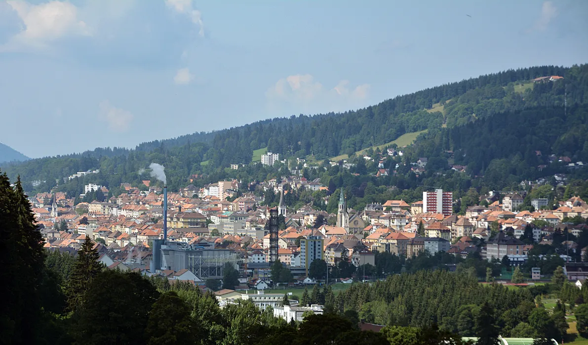
Start: Cernier Village centerCernier: Conquer challenging climbs and soak in breathtaking vistas in Cernier
Cernier, a locality in the Espace Mittelland region of Switzerland, is a cyclist's paradise. With its diverse terrain and well-maintained roads, Cernier offers thrilling rides for both road and gravel cyclists. The region is famous for its challenging climbs, including the nearby Col des Pontins and Mont-Soleil, attracting professional riders and avid cycling enthusiasts. Exploring Cernier on two wheels allows for breathtaking views of the majestic Swiss Alps and the stunning Swiss countryside.0 km
0 km
CernierVillageCernier is the starting point of this scenic gravel loop, surrounded by picturesque landscapes.
12 km
12 km
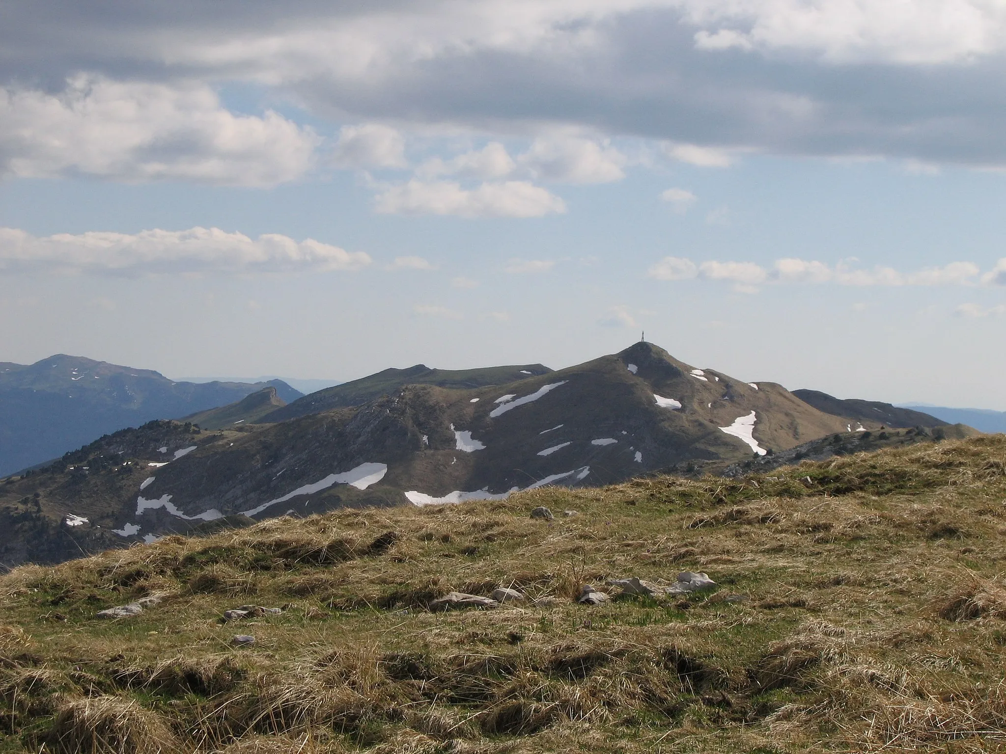
Crêt-du-Puy1263 mPeakCrêt-du-Puy is a mountain with panoramic views of the Swiss countryside.
30 km
30 km
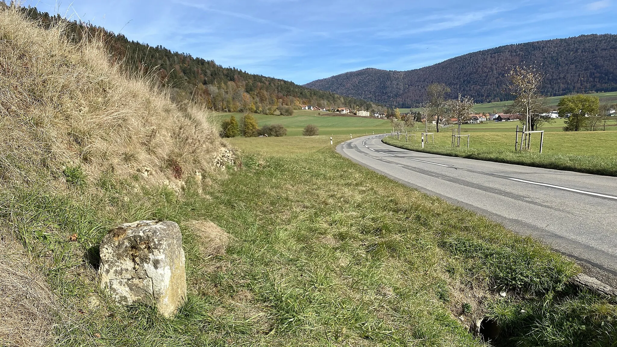
St.JodelViewpointSt.Jodel is a small village known for its traditional Swiss chalets and tranquil atmosphere.
31 km
31 km
InsVillageIns is a charming Swiss village situated on the banks of the Aare River.
40 km
40 km
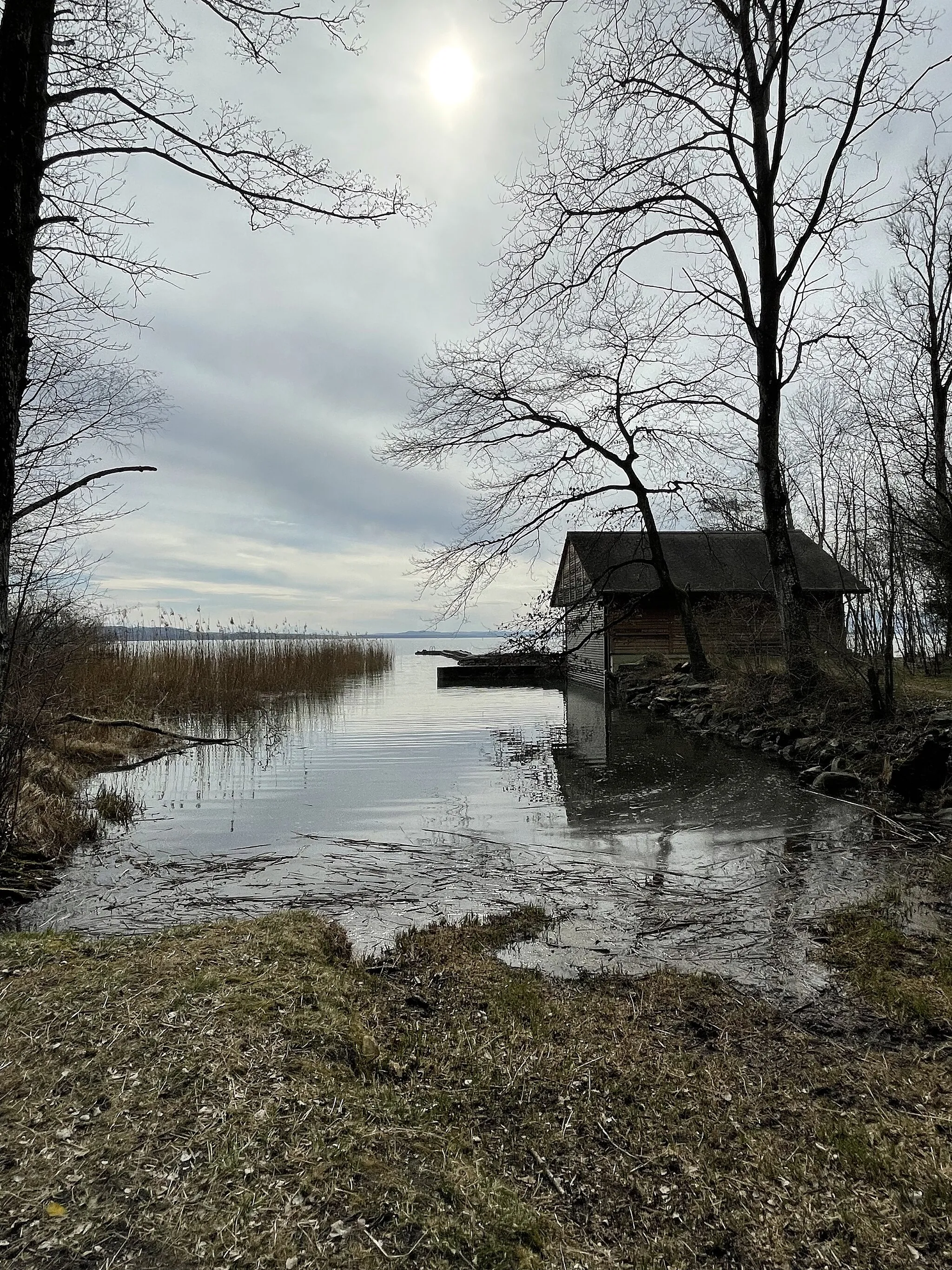
KerzersVillageKerzers is famous for its nature reserve, home to various bird species.
48 km
48 km
GalmizVillageGalmiz is a picturesque village known for its well-preserved historic buildings.
56 km
56 km
Mont Vully653 mPeakMont Vully offers panoramic views of Lake Murten, vineyards, and the Swiss Alps.
69 km
69 km
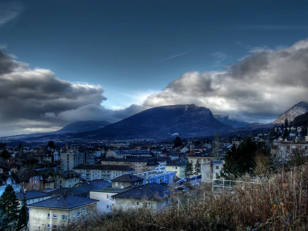
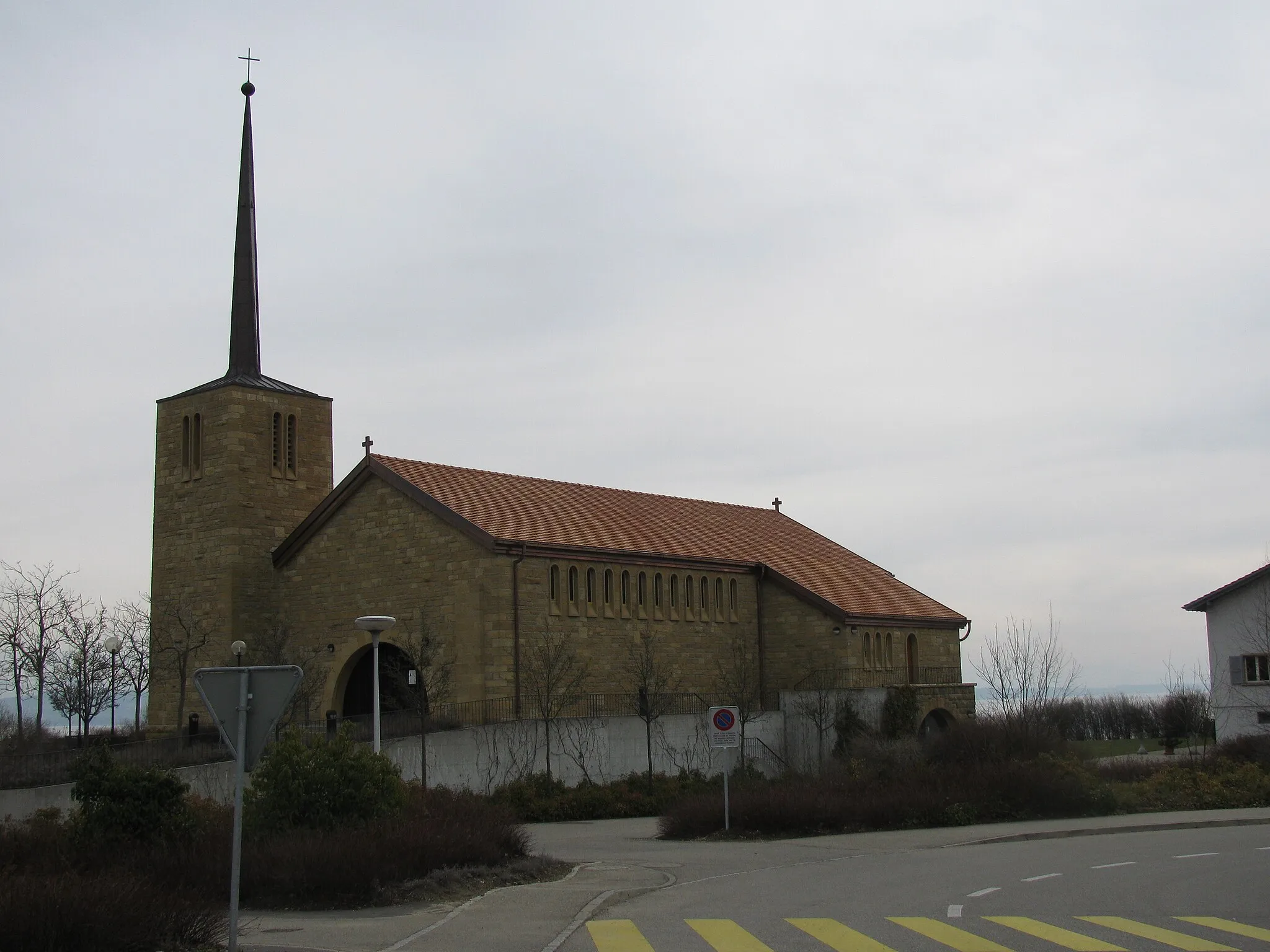
Saint-BlaiseVillageSaint-Blaise is a charming village situated on the shores of Lake Neuchâtel.
75 km
75 km
Tête Plumée758 mPeakTête Plumée is a natural reserve with diverse flora and fauna, perfect for nature enthusiasts.
86 km
86 km
Finish: Cernier Village centerCernier: Conquer challenging climbs and soak in breathtaking vistas in Cernier
Cycling routes from Cernier:
Panoramic Gravel Ride with Stunning Mountain Views Challenging Gravel Adventure with Scenic Routes Discover the Natural Beauty of Gravel Routes Near Cernier Cernier's Scenic Gravel Loop with Diverse Highlights Epic Road Cycling Adventure near Cernier Jura Panorama The Chasseral Loop Chasseral Express Jura Gravel Adventure Swiss Mountain Challenge
Cycling routes nearby: