Gravel in the Mountains
A gravel cycling route starting from Courrendlin
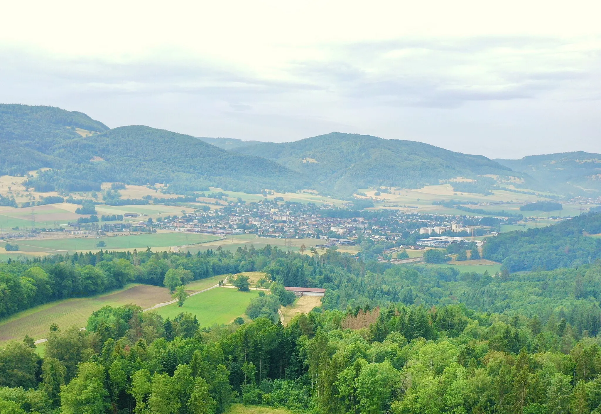
An adventurous gravel ride with impressive mountain ascents
Map
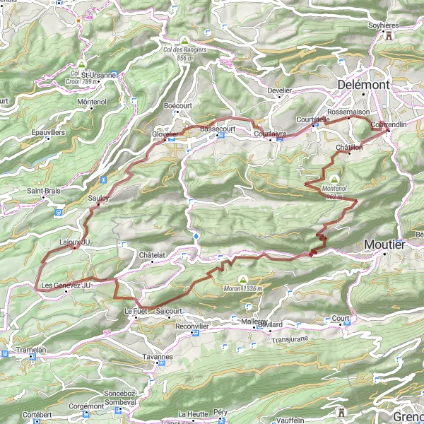
This scenic gravel route takes you through challenging mountainous terrain, offering breathtaking views along the way. With a total ascent of 1827 meters over a distance of 69 kilometers, it is suitable for experienced gravel riders. The route is known for its highlights including Châtillon and Montagne de Moutier, which provide unique experiences along the course. Overall, this route is a great option for gravel enthusiasts looking for an exciting challenge in the mountains.
gravel
69 km
1827 m
Tough
Route profile
Highlights on the route
0 km
0 km
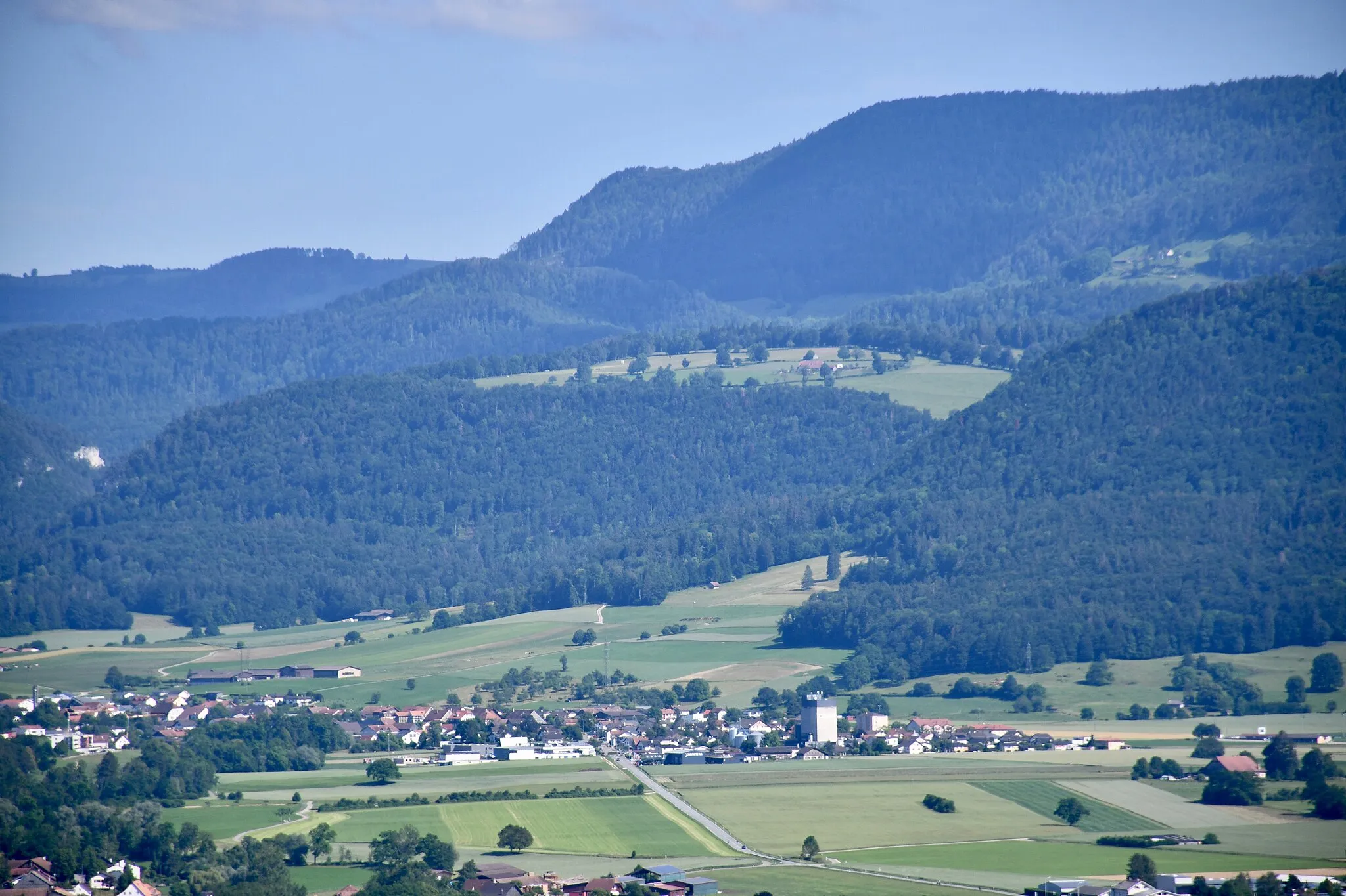
Start: Courrendlin Village centerCourrendlin: Cycling in Courrendlin: Challenging climbs and scenic trails in the Jura Mountains.
Courrendlin is a locality located in Espace Mittelland, Switzerland. As a cyclist, Courrendlin offers a range of cycling routes for all levels of experience. The region is known for its well-maintained roads and cycling infrastructure, making it cyclist-friendly. The Jura Mountains offer challenging climbs for road cyclists, while gravel cyclists can enjoy the scenic trails through forests and countryside. One popular cycling spot nearby is the Bike Park Rosaly, which offers mountain biking trails for adrenaline seekers. Overall, Courrendlin is a great destination for cyclists of all levels, with its diverse routes and beautiful landscapes.2 km
2 km
ChâtillonVillageChâtillon is a charming village situated on a hilltop, offering panoramic views of the surrounding countryside.
13 km
13 km
Montagne de Moutier1169 mPeakMontagne de Moutier is a popular cycling hotspot with stunning vistas of the Jura Mountains.
24 km
24 km
SoubozVillageSouboz is a small village known for its picturesque landscapes and traditional Swiss architecture.
31 km
31 km
Col du Fuet935 mMountain PassCol du Fuet is a challenging mountain pass offering a thrilling ascent and rewarding views at its summit.
46 km
46 km
SaulcyVillageSaulcy is a quaint village surrounded by lush greenery, ideal for a rest stop during the ride.
52 km
52 km
Drapeau JurassienViewpointDrapeau Jurassien is a significant landmark that represents the cultural identity of the Jura region.
52 km
52 km
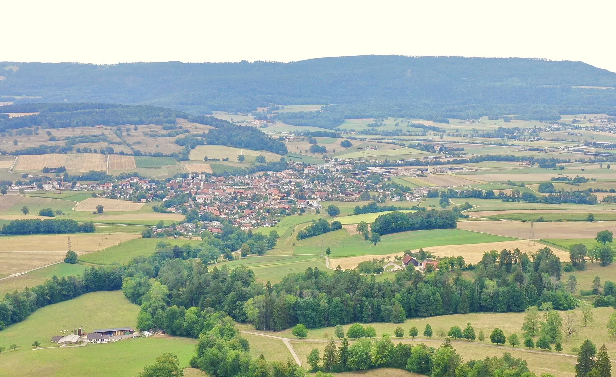
GlovelierVillageIn Glovelier, you can explore charming cobblestone streets and enjoy the local hospitality at one of its traditional cafes.
63 km
63 km
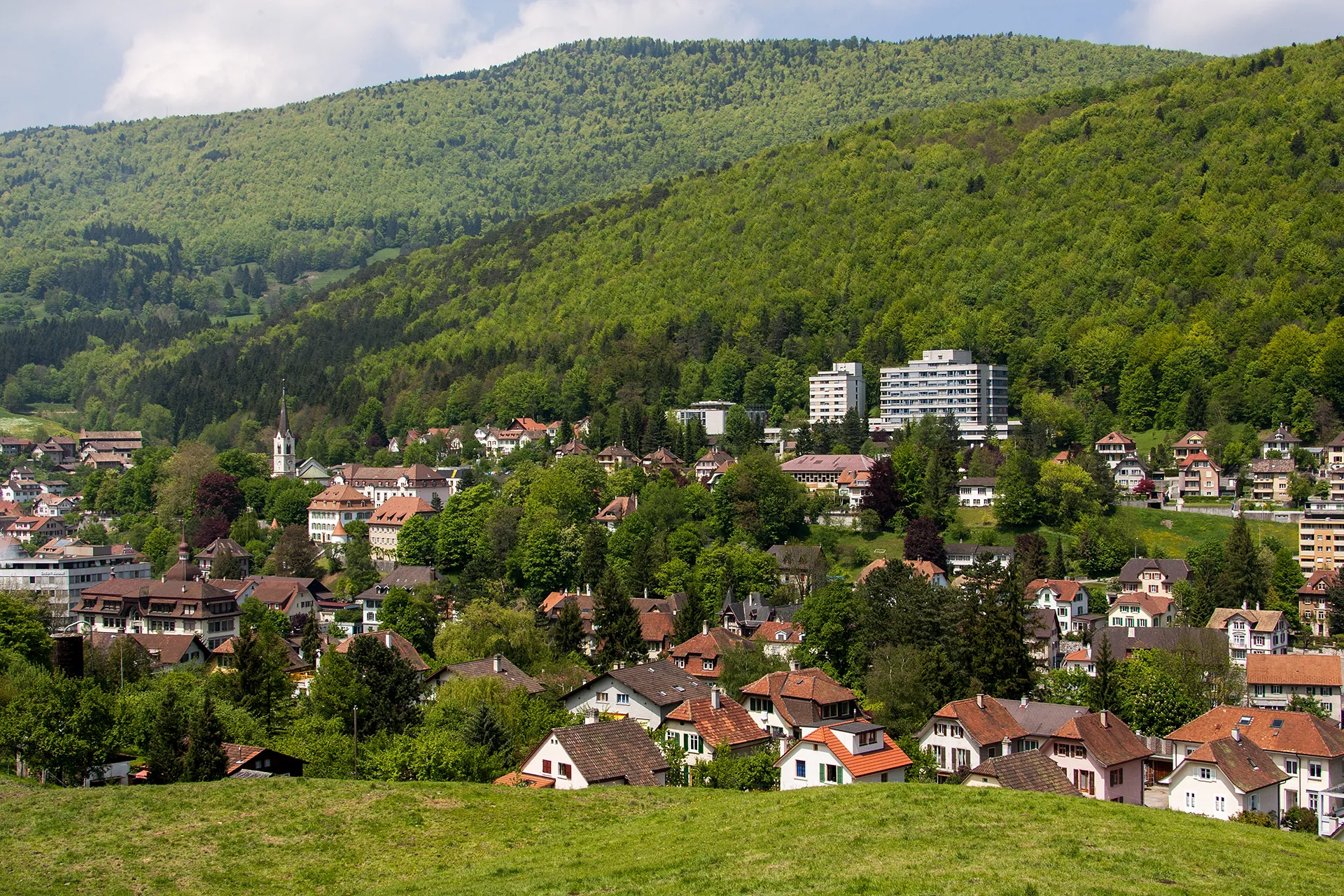
CourtételleVillageCourtételle is a historic town with well-preserved medieval architecture and a vibrant cultural scene.
67 km
67 km
Montchaibeux627 mPeakMontchaibeux is a small hamlet located on a hill, offering stunning panoramic views of the surrounding countryside.
69 km
69 km
Finish: Courrendlin Village centerCourrendlin: Cycling in Courrendlin: Challenging climbs and scenic trails in the Jura Mountains.
Cycling routes nearby: