Challenge of Niederwangen
A road cycling route starting from Koeniz
Take on the challenging climbs of Niederwangen and enjoy breathtaking views along the way.
Map
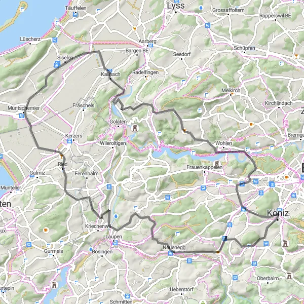
This road route is perfect for cyclists seeking a challenging ride. With an ascent of 966m over a distance of 73km, it offers stunning views and rewarding climbs. Highlights include Köniz, Mängistorfberg, and Frieswil. Prepare for a tough but rewarding workout while enjoying the beauty of the Swiss countryside.
road
73 km
966 m
Savage
Route profile
Highlights on the route
0 km
0 km
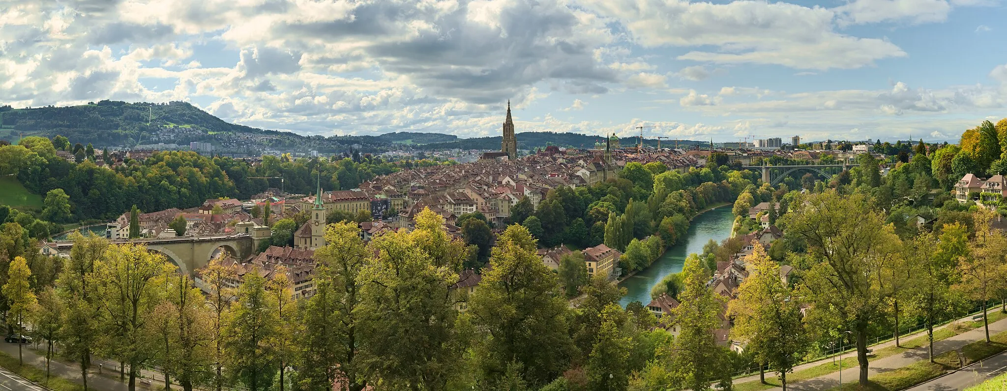
Start: Köniz City centerKöniz: Cycling paradise with legendary Gurten climb.
Köniz in Switzerland is a cyclist's dream destination. The region boasts well-maintained roads and a plethora of cycling routes suitable for both road and gravel riders. Köniz is known for its proximity to the legendary Gurten climb, a challenging ascent that attracts cyclists from around the world. With its stunning natural landscapes and bike-friendly infrastructure, Köniz offers an unforgettable cycling experience.0 km
0 km
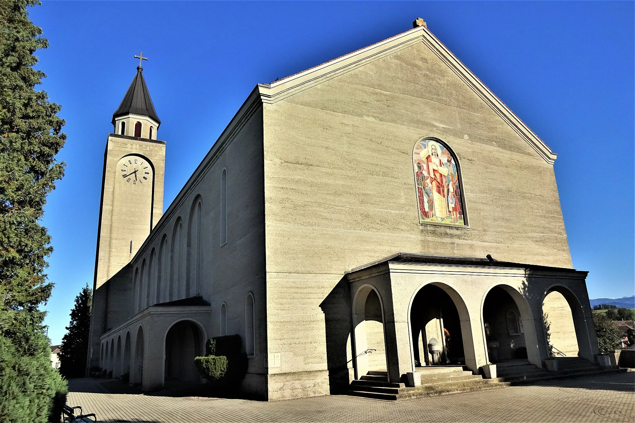
KönizTownKöniz is a picturesque town with a rich cultural heritage.
3 km
3 km
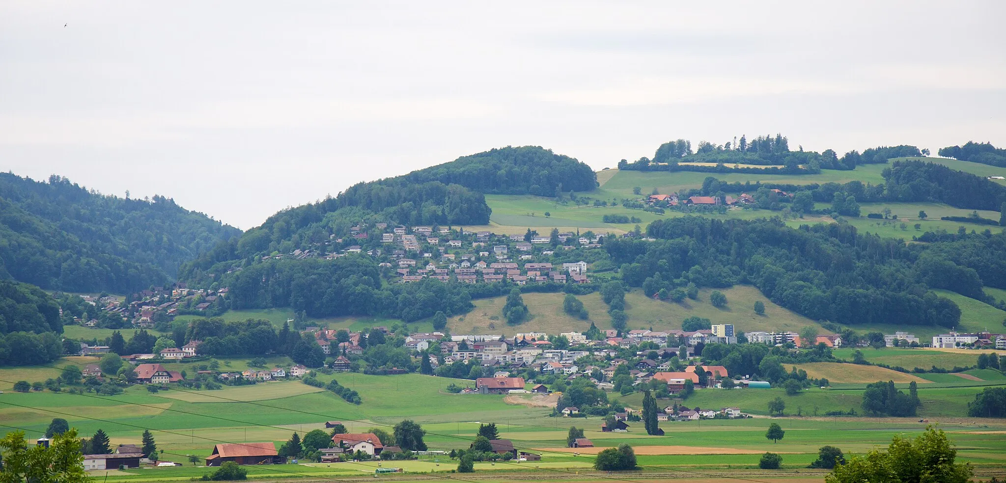
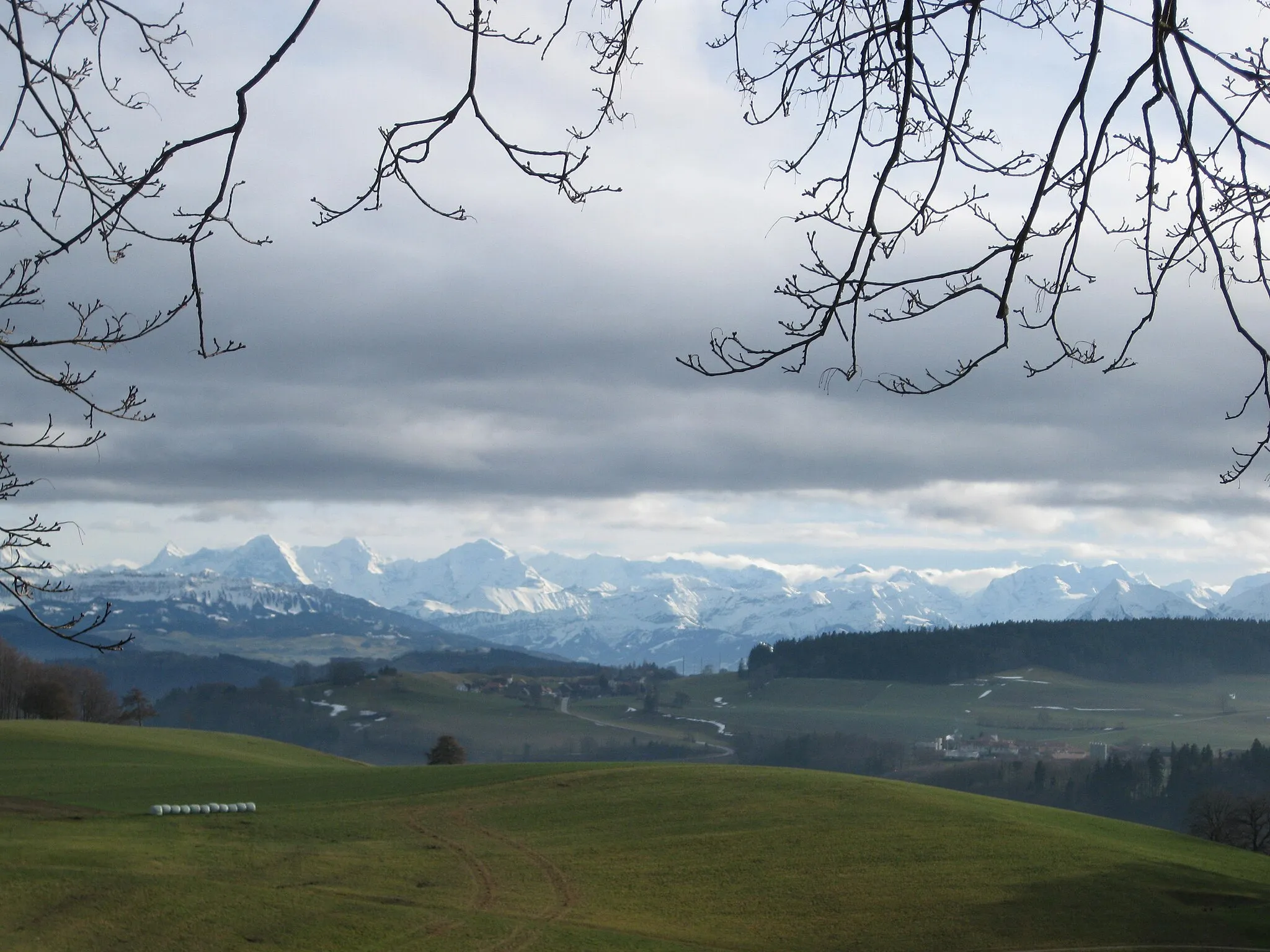
Mängistorfberg754 mPeakMängistorfberg offers a challenging climb and panoramic views at the top.
26 km
26 km
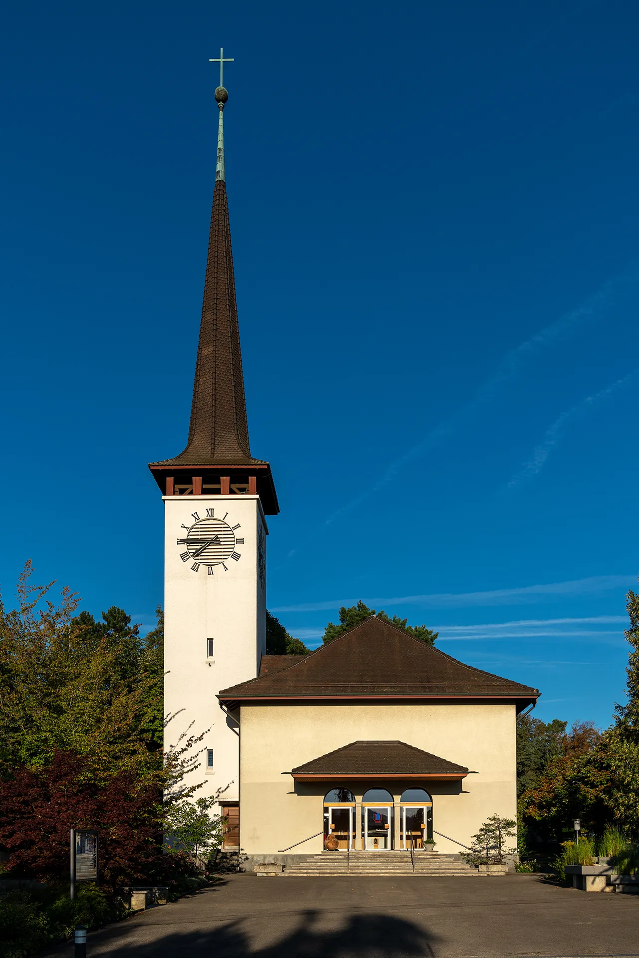
UlmizVillageUlmiz is a small village with traditional Swiss architecture and peaceful surroundings.
46 km
46 km
KallnachVillageKallnach is a charming village located on the shore of Lake Biel.
54 km
54 km
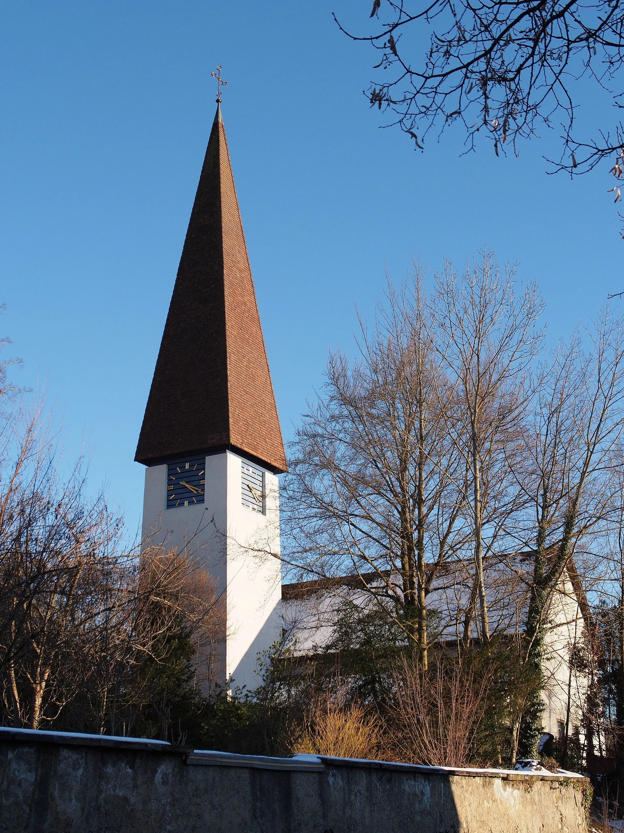
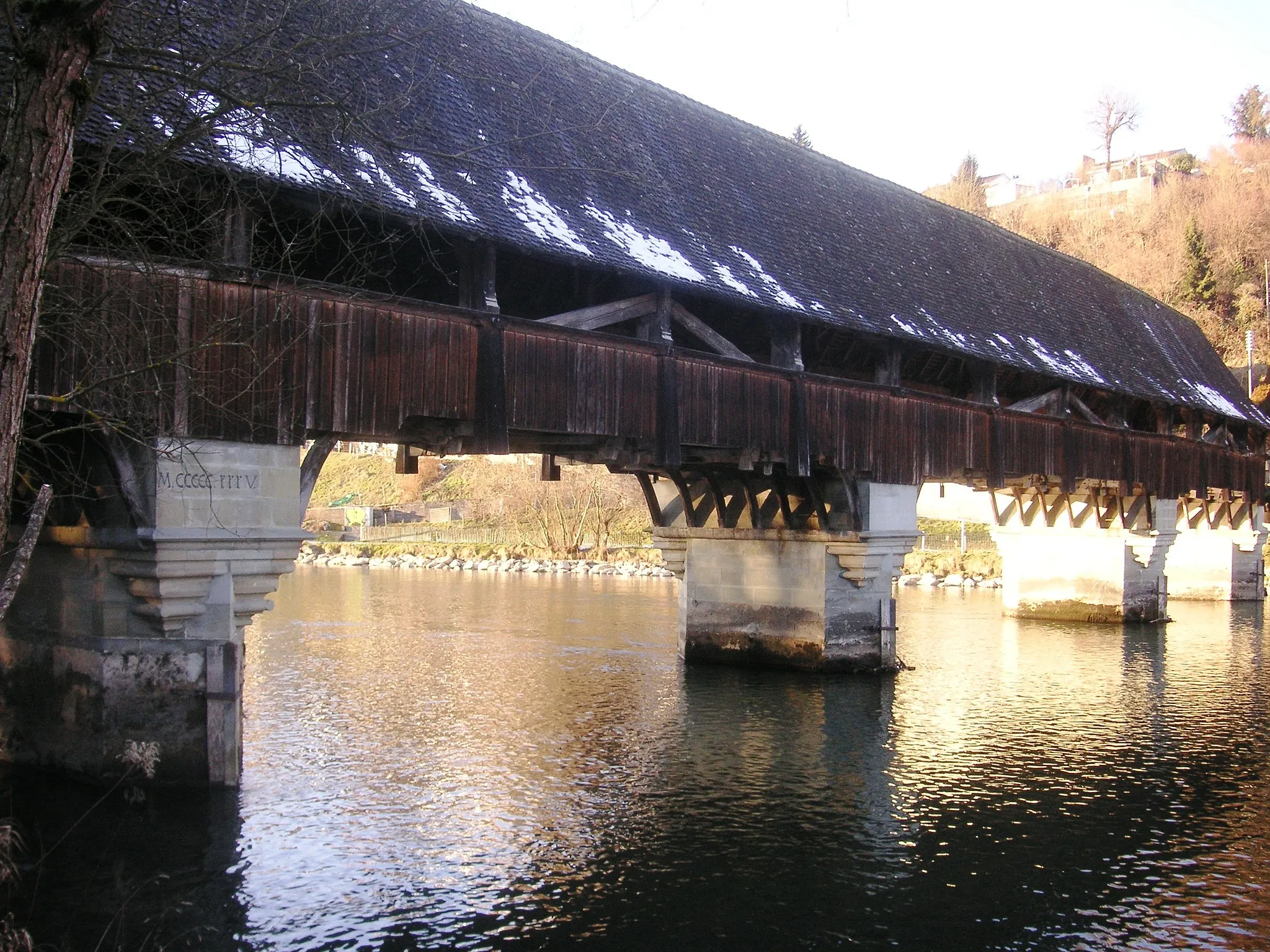
FrieswilSub-urbFrieswil is a charming village with a rich history and beautiful natural surroundings.
70 km
70 km
NiederwangenSub-urbNiederwangen offers stunning views and challenging climbs, making it a popular spot among cyclists.
72 km
72 km
Könizberg674 mPeakKönizberg offers panoramic views and beautiful hiking trails.
73 km
73 km
Finish: Köniz City centerKöniz: Cycling paradise with legendary Gurten climb.
Cycling routes nearby: