Lohn-Ammannsegg Gravel Route
A gravel cycling route starting from Langendorf
Adventure through stunning landscapes and charming villages
Map
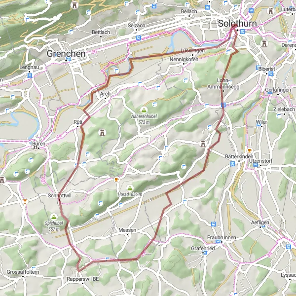
Embark on a gravel route that takes you through beautiful landscapes and picturesque villages of Lohn-Ammannsegg. With a moderate elevation gain of 433 meters and a distance of 48 kilometers, this route provides a great balance between challenge and enjoyment. The route showcases highlights such as Britterenhubel, known for its panoramic views, and Nennigkofen, a historical village with charming architecture.
gravel
48 km
433 m
Tough
Route profile
Highlights on the route
0 km
0 km
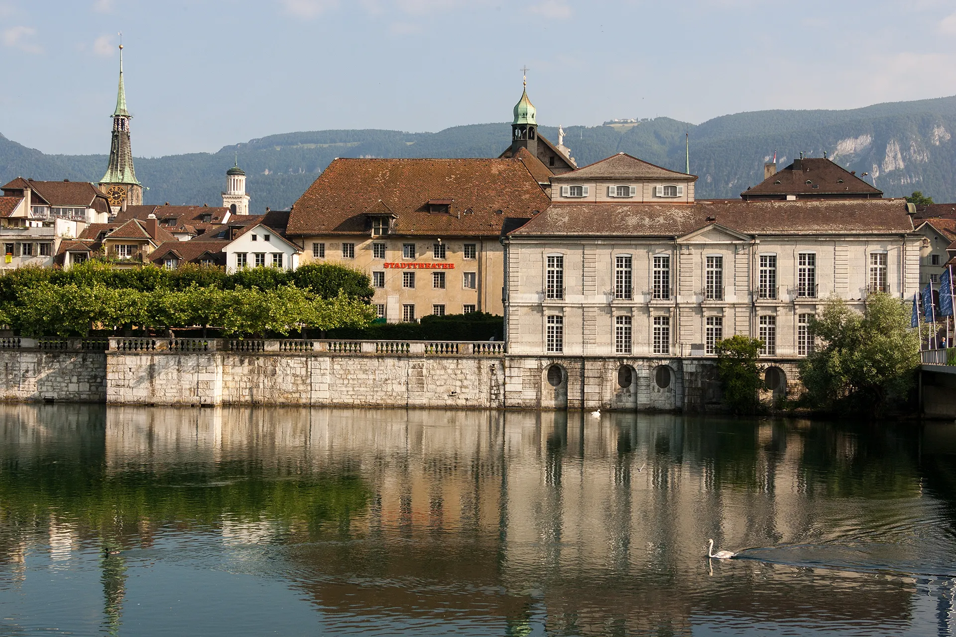
Start: Solothurn City centerLangendorf: Langendorf - Satisfying rides and access to famous climbs.
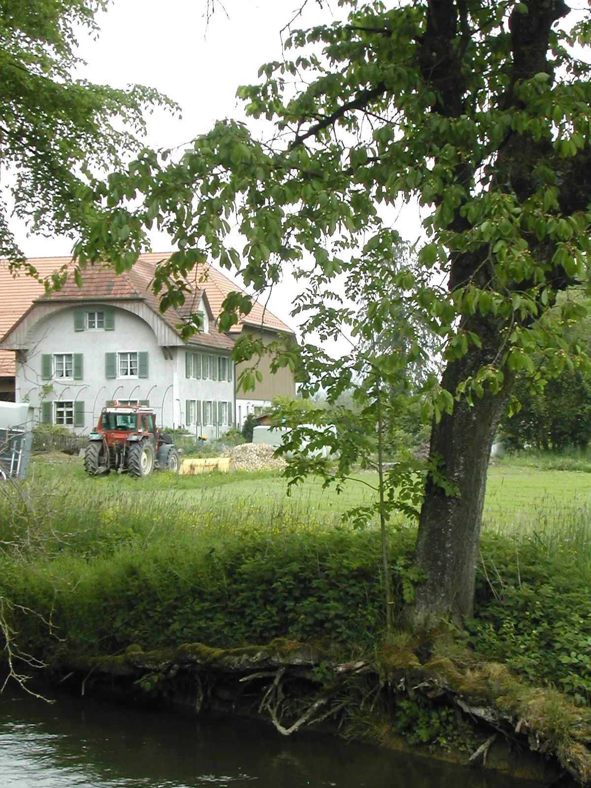
Langendorf is a town located in Espace Mittelland, Switzerland. It offers satisfying conditions for road and gravel cycling, with well-maintained roads and scenic surroundings. While Langendorf itself does not have any famous cycling-related spots, there are notable climbs nearby, such as Wildhaus and St. Gotthard Pass. These climbs attract many cyclists looking for challenging routes. Overall, Langendorf is a cycling-friendly locality with enjoyable rides and nearby renowned climbs.4 km
4 km
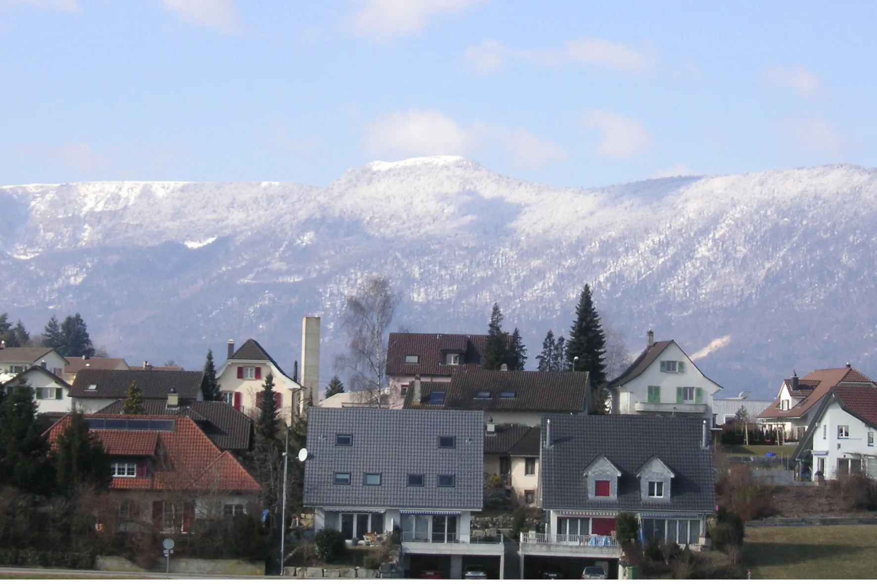
Lohn-AmmannseggVillageLohn-Ammannsegg is a beautiful village known for its quaint charm and traditional Swiss buildings.
12 km
12 km
Britterenhubel540 mPeakBritterenhubel offers stunning panoramic views of the surrounding countryside, making it a perfect spot to take a break.
27 km
27 km
Spishubel557 mPeakSpishubel is a small hamlet with a rich history and charming traditional architecture.
31 km
31 km
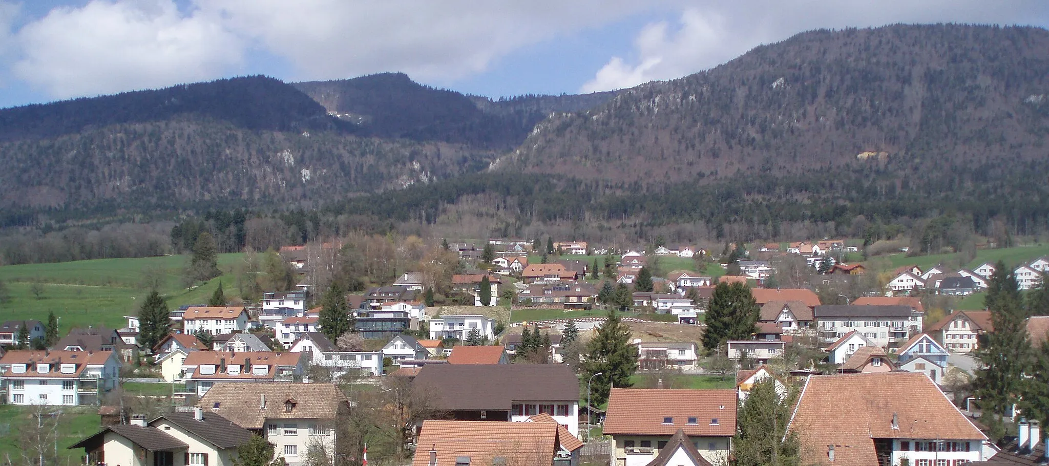
OberwilVillageOberwil is a quaint village with beautiful wooden houses and well-preserved cultural heritage.
43 km
43 km
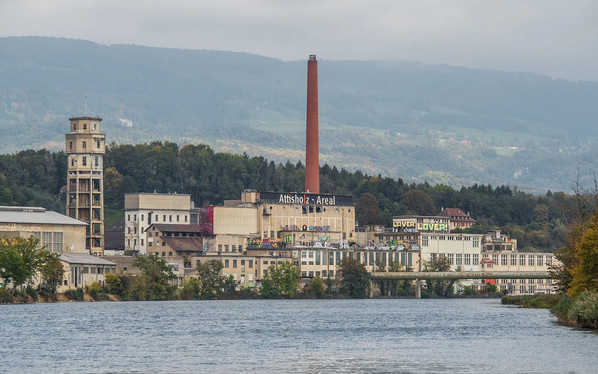
NennigkofenVillageNennigkofen is a historic village surrounded by lush green fields and picturesque landscapes.
46 km
46 km
Hunnenberg490 mPeakHunnenberg is a peaceful hamlet nestled amidst green fields, offering a serene atmosphere.
48 km
48 km
Finish: Solothurn City centerLangendorf: Langendorf - Satisfying rides and access to famous climbs.
Cycling routes from Langendorf:
Lohn-Ammannsegg Gravel Route Wangen an der Aare Gravel Route Solothurn Gravel Adventure Langendorf to Solothurn Loop Explore Aeschi and Wangen Epic Mountain Cycling Route Epic Jura Mountain Challenge Scenic Road Cycling Route Thunstetten and Humberg Exploration Zuchwil Road Cycling Route Langendorf Gravel Adventure Langendorf Road Adventure Langendorf Epic Road Adventure
Cycling routes nearby: