Embark on an unforgettable cycling adventure through the stunning landscapes of Laupersdorf, Espace Mittelland, Switzerland
Cycling routes from Laupersdorf
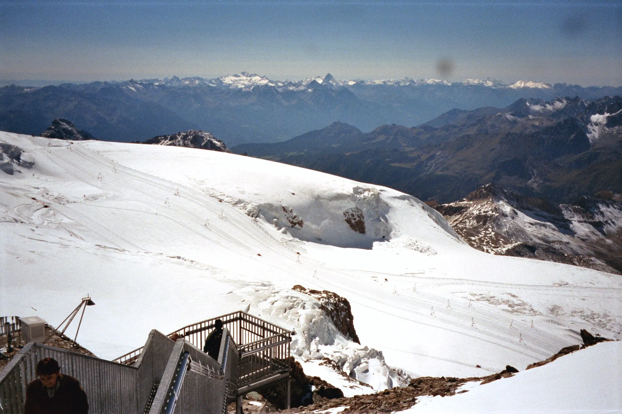
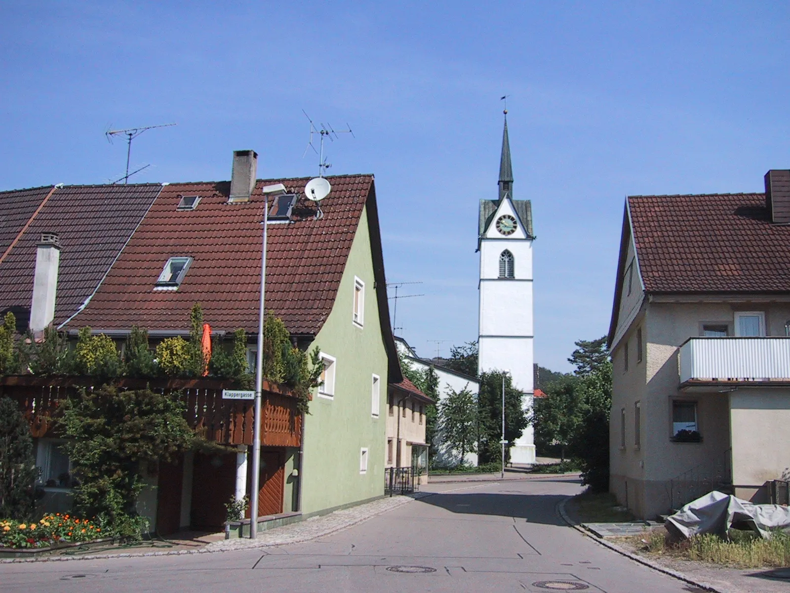
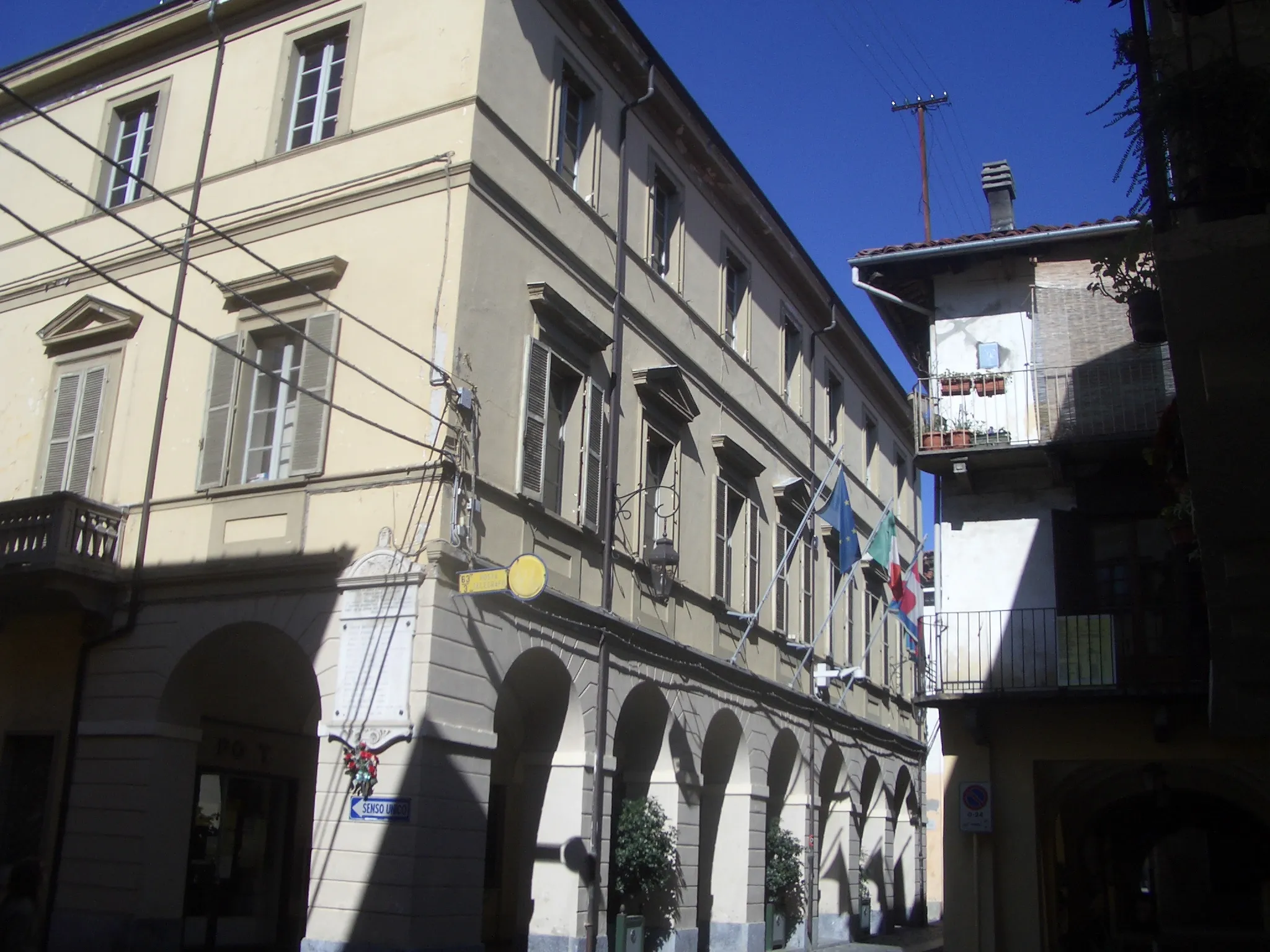
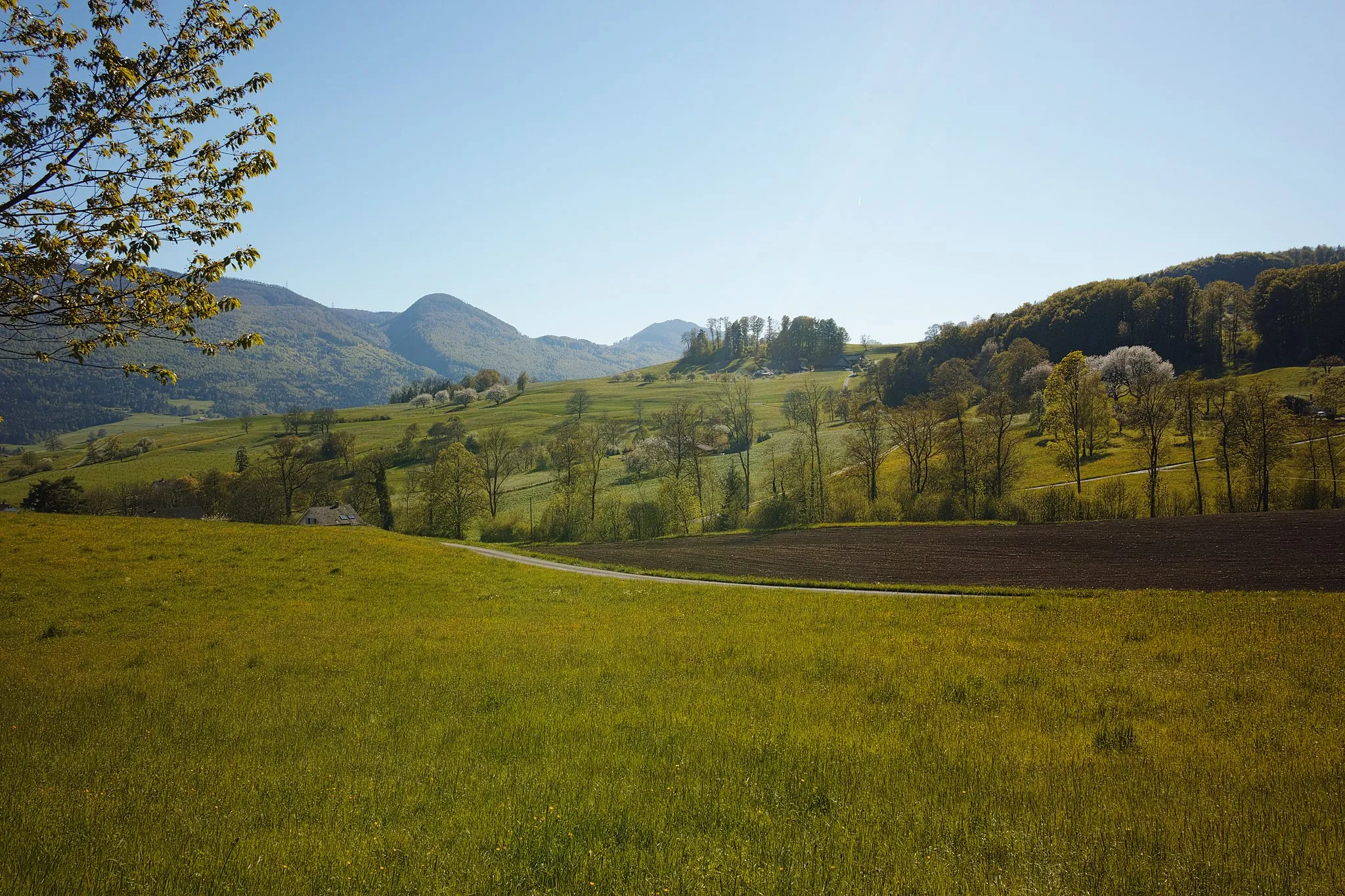
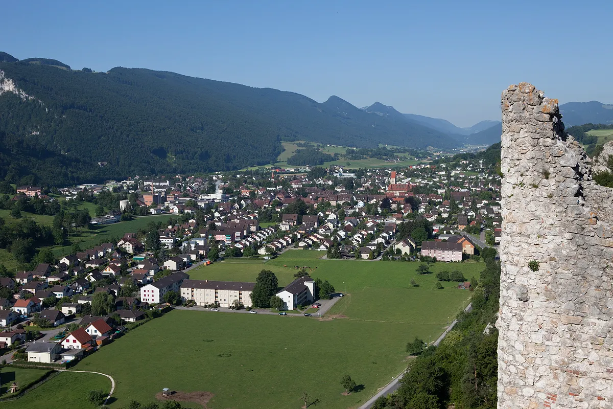
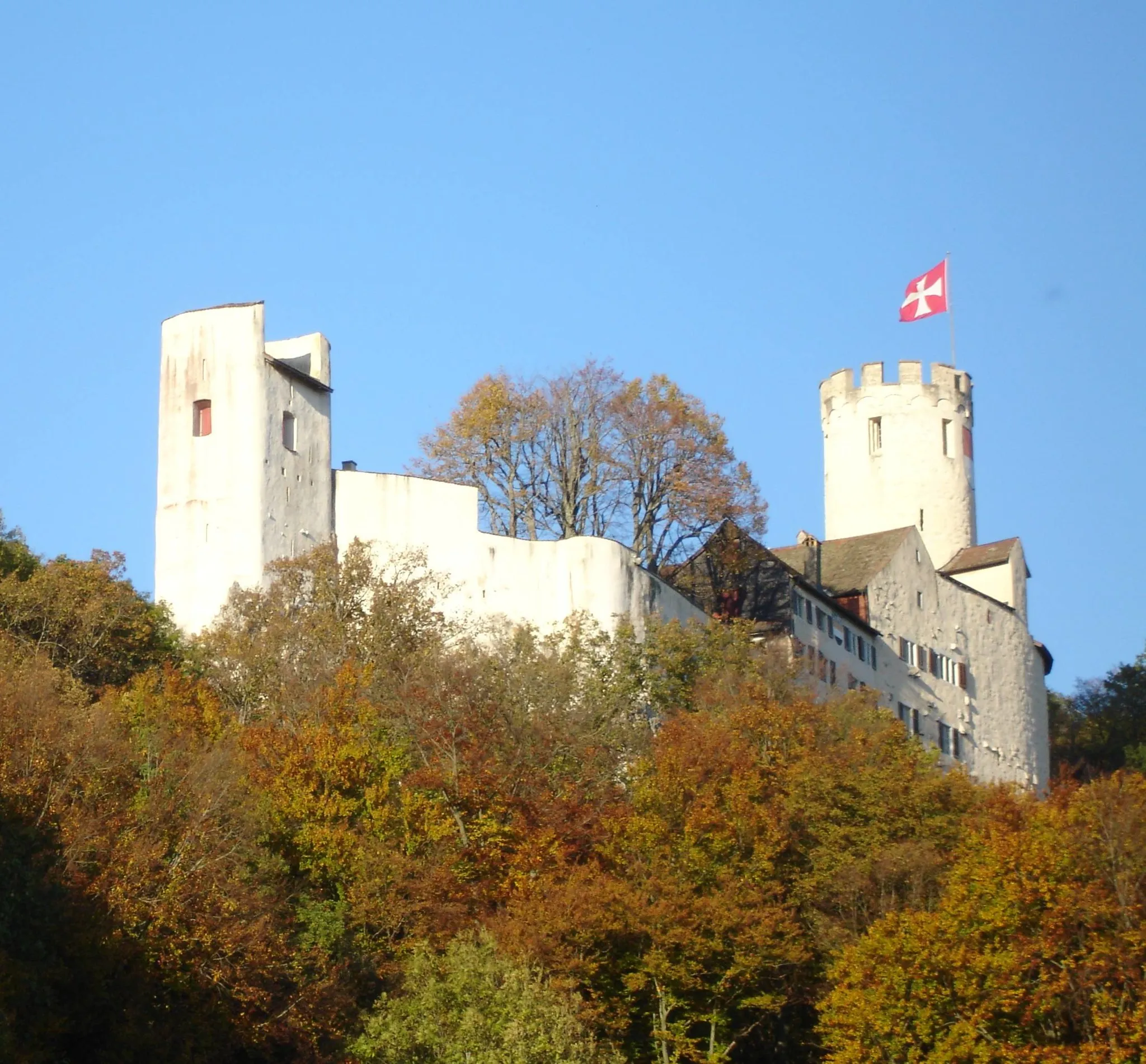
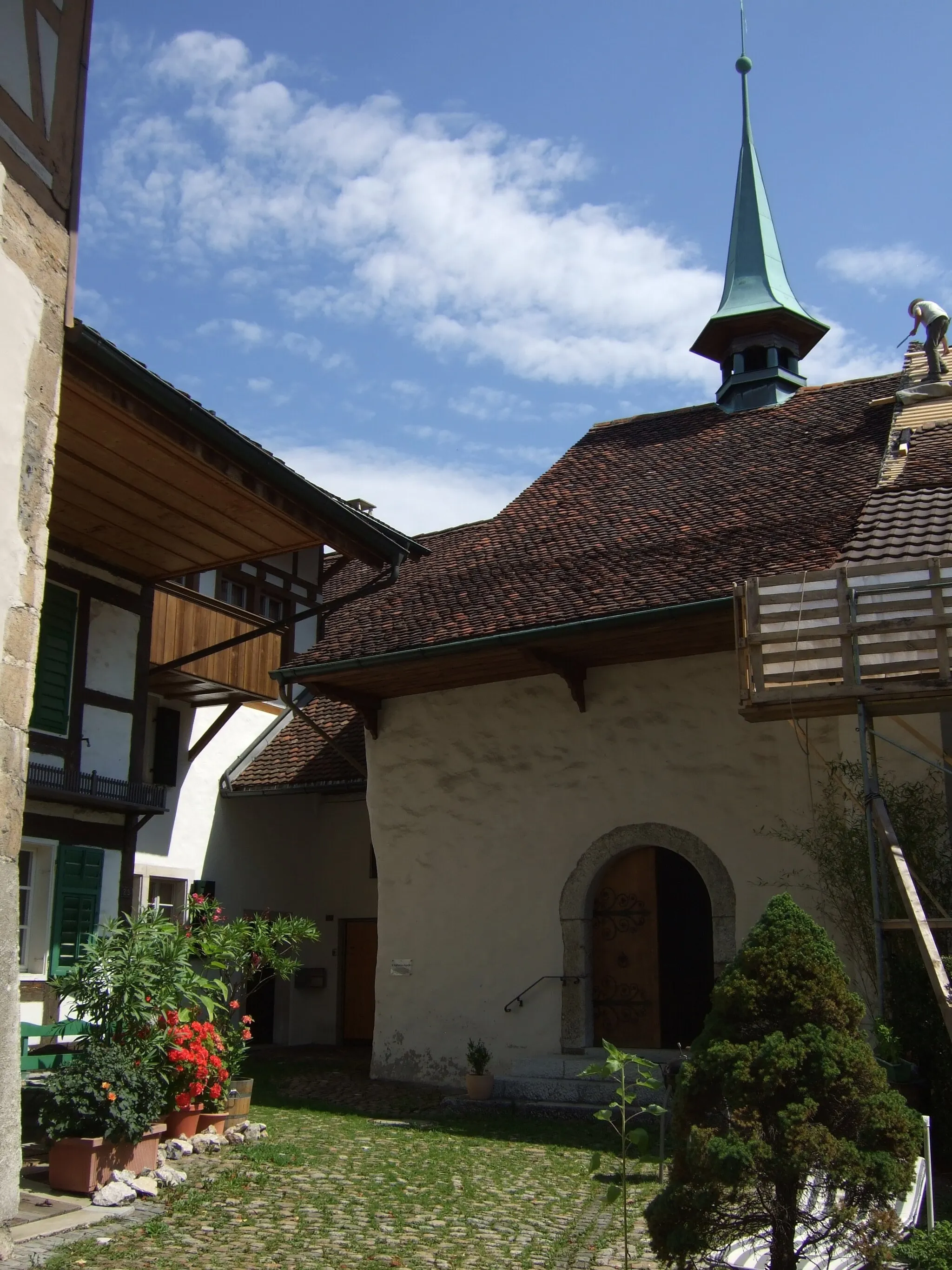
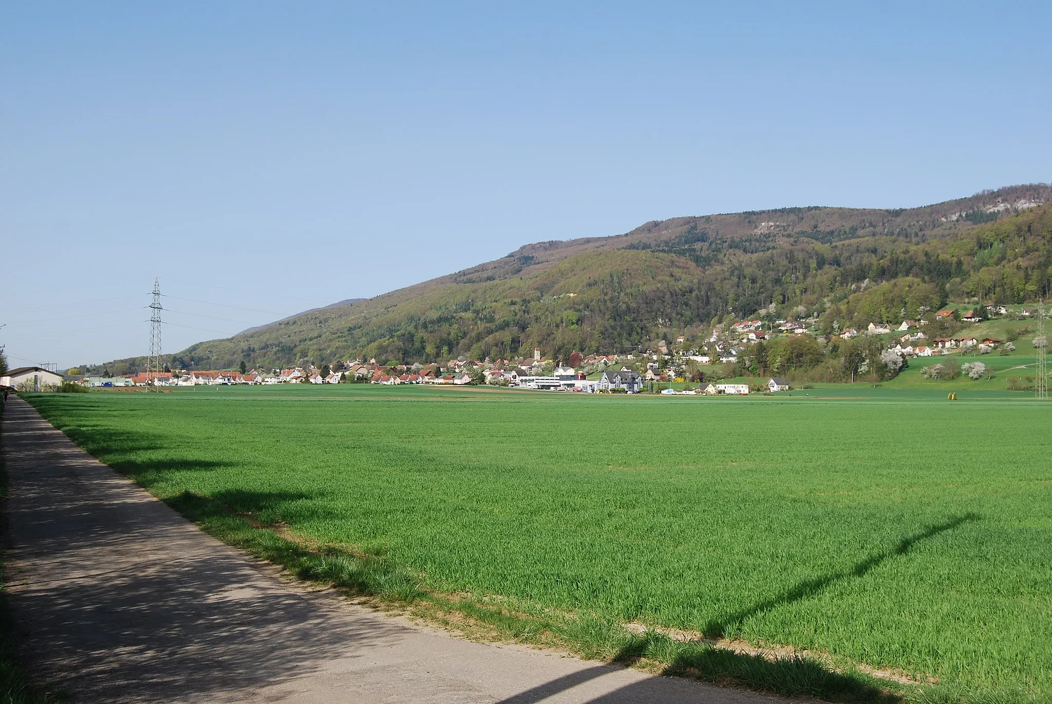
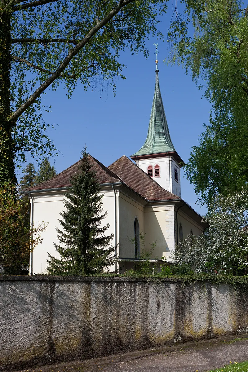
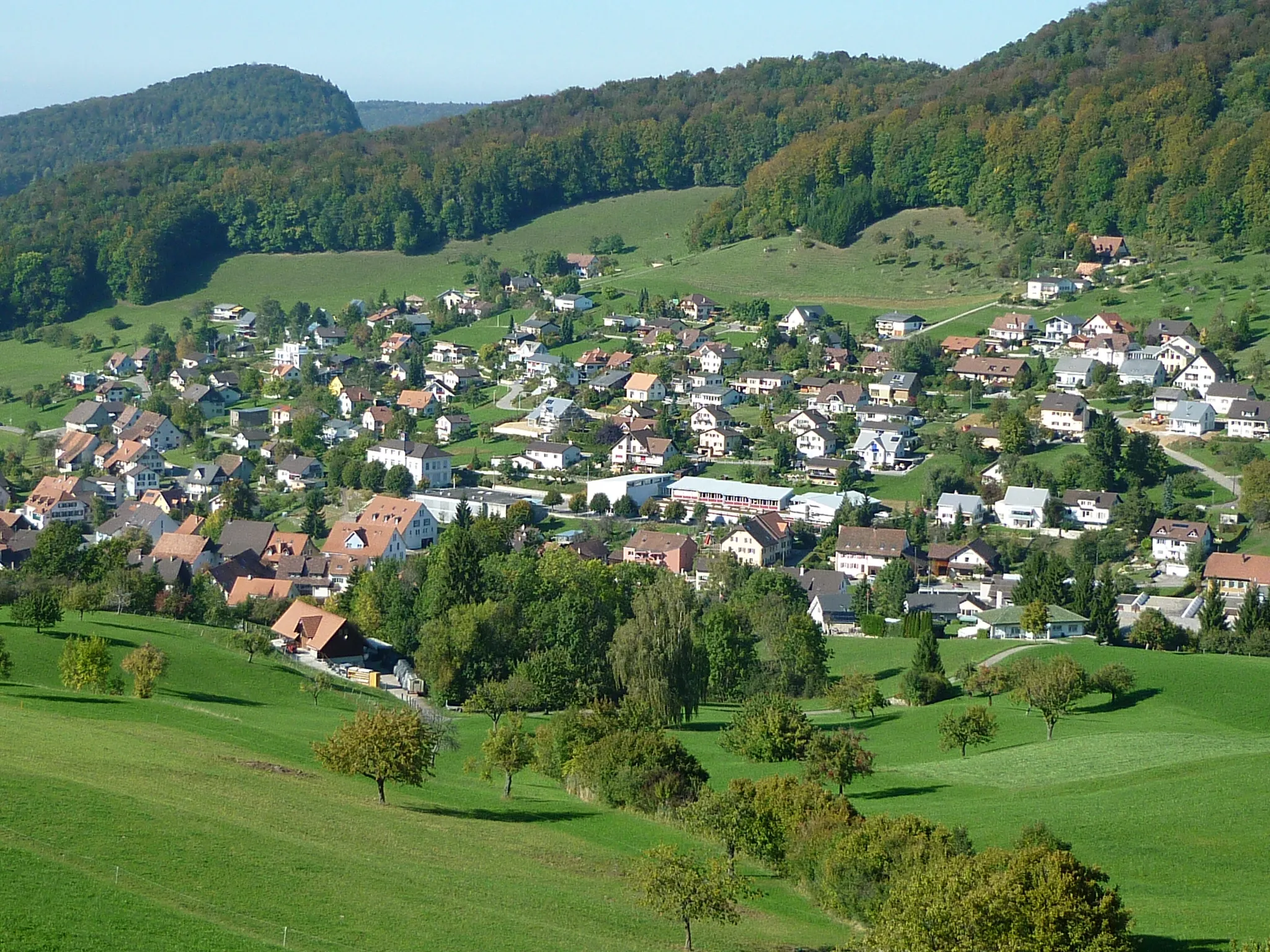
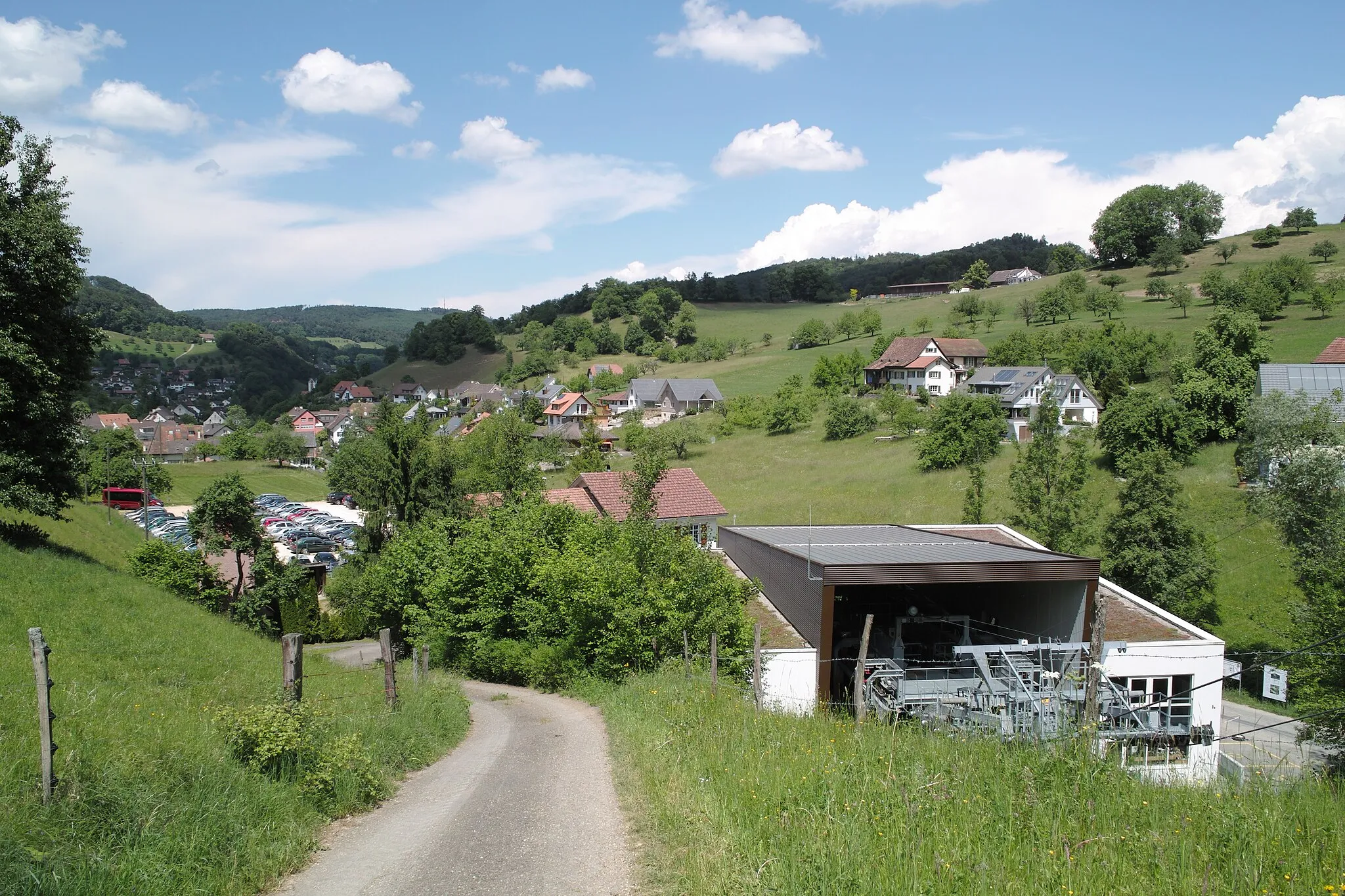
Laupersdorf in Espace Mittelland, Switzerland, is a cyclist's paradise boasting breathtaking scenery and idyllic cycling routes. The locality is surrounded by stunning landscapes, including lush meadows, rolling hills, and serene forests. Road cyclists can enjoy challenging climbs with rewarding summit vistas, while gravel enthusiasts can explore the variety of off-road trails available. Laupersdorf is also home to the famous Passwang, a mountain pass renowned for its challenging gradients, which adds to its appeal as a cycling destination. With its extraordinary landscapes and cycling opportunities, Laupersdorf receives a well-deserved 5 on the cyclist's perspective scale.
Embark on an extraordinary road expedition to Balsthal and Lehnflue
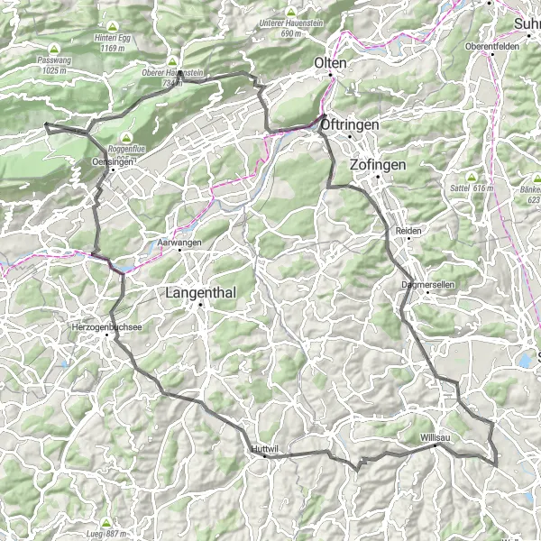
Prepare yourself for a true cycling adventure on this 112-kilometer road route near Laupersdorf. With an elevation gain of 1396 meters, this route offers a challenging yet rewarding experience for cyclists. Explore historic towns, enjoy breathtaking views, and embrace the thrill of the open road.
Discover the cultural heritage and natural beauty of Solothurn on this road cycling route
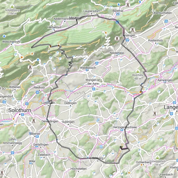
The Solothurn Circuit takes you on a scenic journey through the Solothurn region, showcasing its cultural attractions and beautiful landscapes. With a total ascent of 1,028 meters over a distance of 68 kilometers, this route is suitable for intermediate cyclists. Explore notable highlights such as Balsthal, Lehnflue, Herzogenbuchsee, Derendingen, Dittiberg, Flumenthal, Rüttelhorn, and Aedermannsdorf as you pedal through charming towns and enjoy breathtaking views.
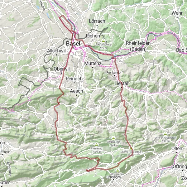
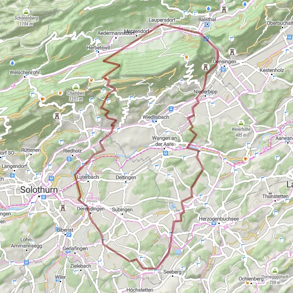
Embark on a gravel adventure through majestic landscapes and conquer legendary climbs near Laupersdorf
Experience the thrill of a gravel cycling adventure through the majestic landscapes and challenging terrain near Laupersdorf. With an ascent of 2241 meters over a distance of 120 kilometers, this route is reserved for experienced and well-prepared cyclists. Prepare to climb up iconic peaks, enjoy breathtaking descents, and soak in the natural beauty of the area. Highlights of this route include Laupersdorf, Scheltenpass, Hochstelleli, Zwingen, Pfalz, Basel, Huningue, Hornfelsen, Liestal, Murenberg, Oberer Hauenstein, Langenbruck, Roggenflue, and Balsthal.
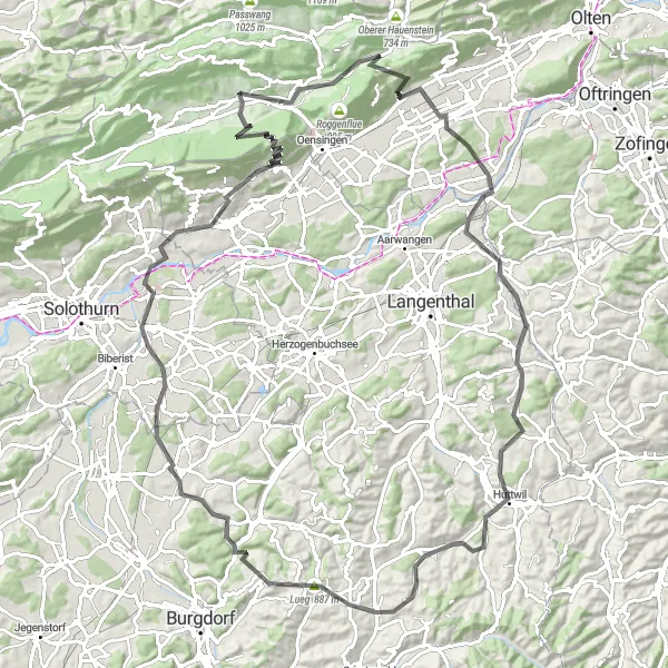
Immerse yourself in the serene countryside and visit charming villages near Laupersdorf on this road cycling route
Escape the hustle and bustle of the city and embark on a journey through the tranquil countryside surrounding Laupersdorf. This road cycling route offers a mix of challenging climbs and scenic descents, as well as the opportunity to explore charming villages along the way. With an ascent of 1713 meters over a distance of 78 kilometers, this route is suitable for well-trained amateur cyclists. Highlights of the route include Egg, Oberbuchsiten, Fulenbach, Hohwacht Reisiswil, Herzogenbuchsee, Gensberg, Walden, and Laupersdorf.

A scenic gravel route through Jura mountains with challenging climbs and stunning landscapes.
This Jura Gravel Adventure takes you on a 72 km journey through the beautiful Jura mountains surrounding Laupersdorf. With a total ascent of 2443 meters, this route is suitable for experienced gravel riders looking for a challenging ride. The route offers breathtaking views, peaceful countryside, and picturesque villages along the way. Make sure to stop at Scheltenpass, Hochstelleli, Breitenbach, Strick, Bretzwil, Passwang, and Balsthal for some of the route's highlights. This route is a true gravel adventure for those seeking an epic cycling experience.
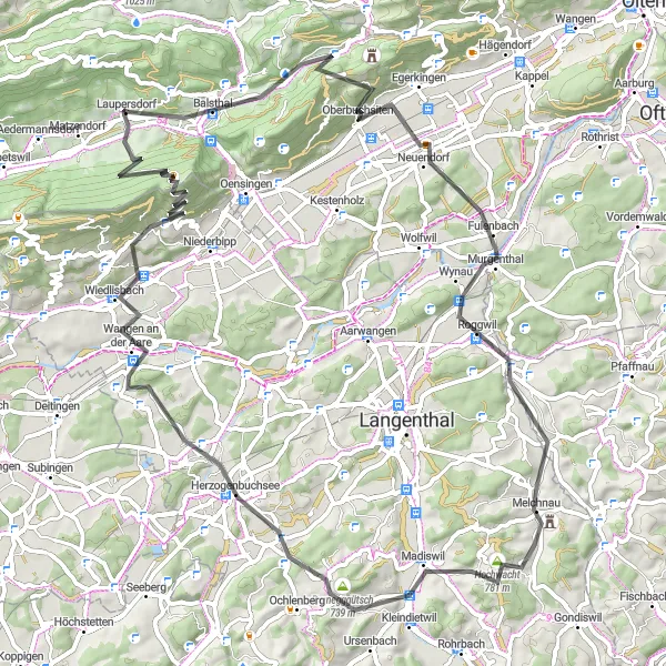
Embark on a challenging cycling adventure with breathtaking views near Laupersdorf
This road cycling route will test even the most seasoned cyclists with an ascent of 1990 meters over a distance of 108 kilometers. From Laupersdorf, you'll conquer steep hills, experience thrilling descents, and take in the stunning scenery of the surrounding area. Highlights along the way include Egg, Oberbuchsiten, Fulenbach, Isehuet, Dürrenroth, Gratchnubel, Lueg, Koppigen, Wiedlisbach, Walden, and Laupersdorf.
Embark on a thrilling road adventure to Walden and Dilitschchopf
Embark on this 83-kilometer road route near Laupersdorf and experience the joy of cycling through beautiful scenery and captivating highlights. With an elevation gain of 1745 meters, this route is suitable for well-trained cyclists looking for a challenge. Enjoy the stunning views and immerse yourself in the enchanting surroundings.
Embark on a thrilling gravel ride through Balsthal and Lehnflue
Get ready for an exhilarating adventure along this 56-kilometer gravel route near Laupersdorf. With a challenging ascent of 1054 meters, this route is best suited for experienced riders. Discover the beauty of the terrain and enjoy the captivating highlights along the way.
The Jura Ridge Loop
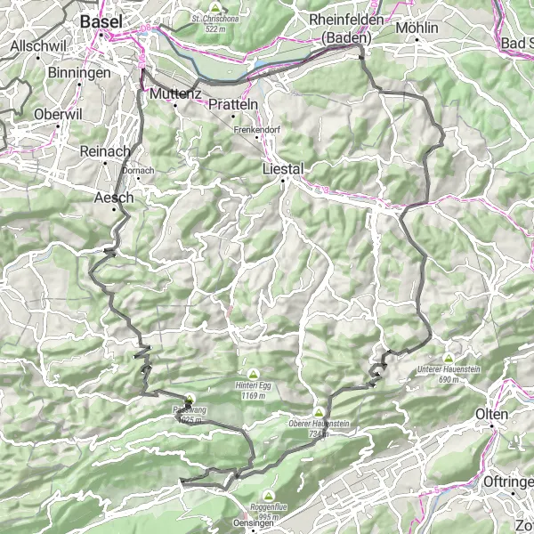
Explore the picturesque Jura region on this challenging road cycling route
The Jura Ridge Loop takes you through stunning landscapes, charming villages, and challenging climbs in the Jura region of Switzerland. With a total ascent of 2,442 meters over a distance of 112 kilometers, this route is recommended for experienced cyclists looking for a scenic and demanding challenge. Experience the beauty of the Mümliswil, Passwang, Chilchberg, Aesch, Biotop, Rheinfelden, Farnsberg, Läufelfingen, Belchenflue, Langenbruck, Bisecht, and Laupersdorf highlights along the way.
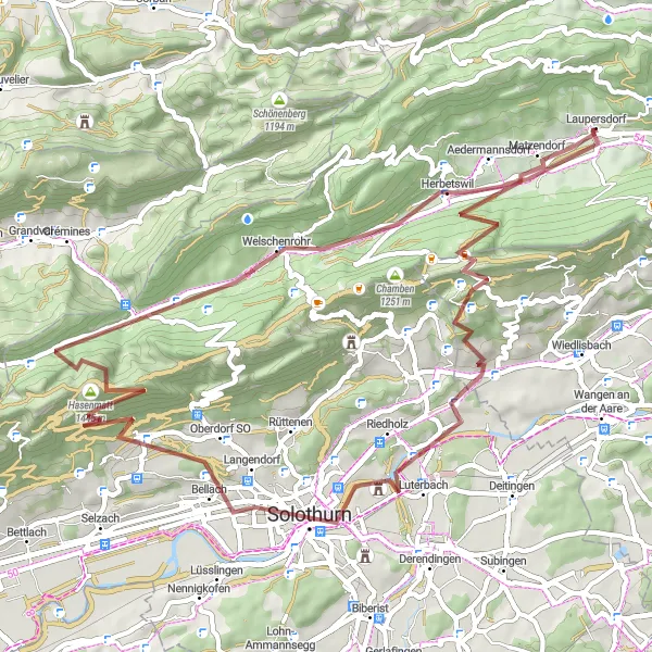
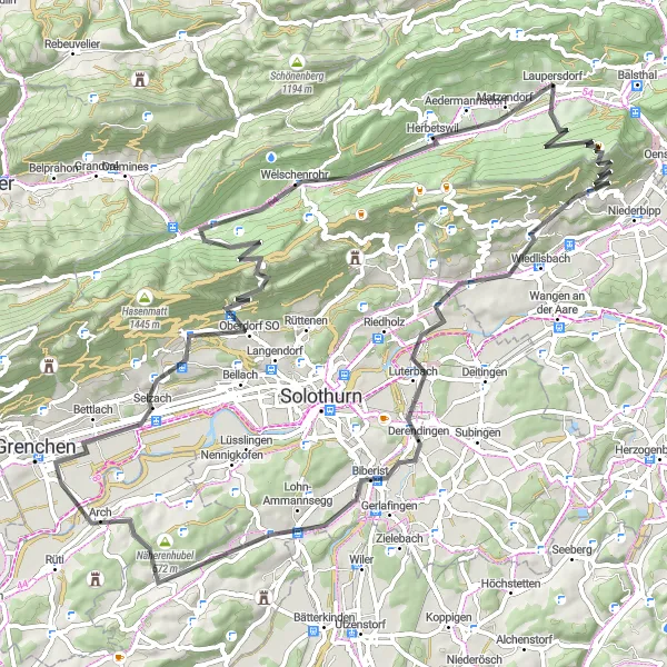
Embark on a challenging gravel expedition to Rüttelhorn and Hasenmatt
This 61-kilometer gravel route near Laupersdorf will test your cycling skills and reward you with breathtaking views. With a demanding ascent of 1572 meters, this route is recommended for experienced and adventurous riders. Explore stunning highlights along the way and take in the unparalleled beauty of the surroundings.
Cycling routes nearby:


Nearby regions: