The Countryside Loop
A road cycling route starting from Malleray
Explore the serene countryside on this scenic cycling route
Map

The Countryside Loop is a picturesque cycling route that takes you through the tranquil countryside of Switzerland. With a total ascent of 1,281 meters and a distance of 65 kilometers, this route is perfect for cyclists looking to enjoy peaceful surroundings and scenic landscapes. Highlights include Saules, a charming village known for its traditional Swiss farms and scenic views, and Le Coteniat, a historic stone bridge that offers a great photo opportunity. This route is ideal for those seeking a leisurely cycling experience away from the hustle and bustle of city life.
road
65 km
1281 m
Chill
Route profile
Highlights on the route
0 km
0 km
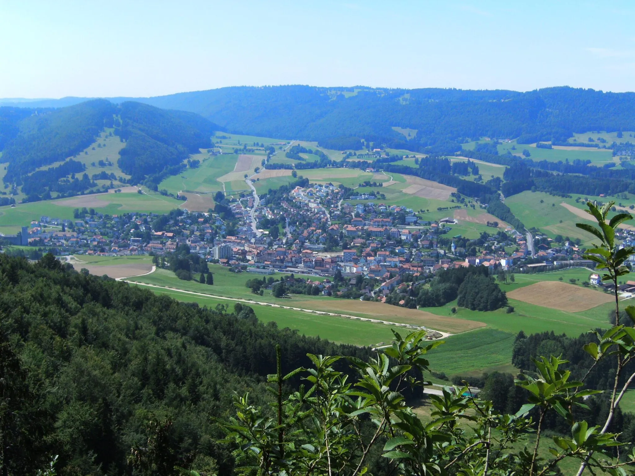
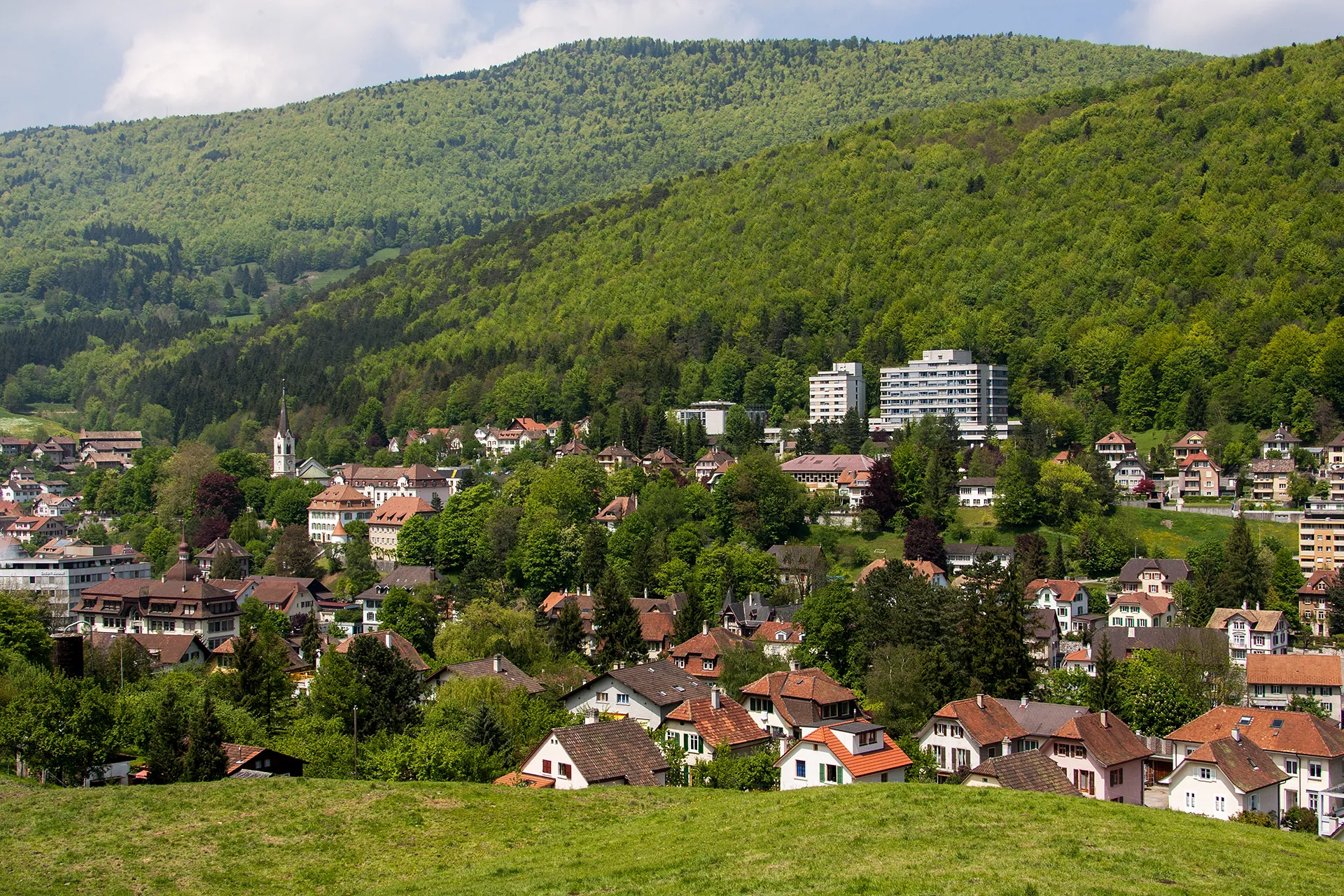
Start: Malleray Village centerMalleray: Panoramic views and charming villages in Espace Mittelland
Malleray is a locality in Espace Mittelland, Switzerland. It offers a range of cycling routes suitable for road and gravel cyclists. The landscapes surrounding Malleray feature rolling hills, vineyards, and picturesque villages. Cyclists can enjoy the tranquility of the area as they ride on well-maintained roads that provide stunning views. Malleray is well-connected to other cycling routes, including the Swiss Jura Route, offering opportunities for longer rides and exploration. With its scenic routes and accessibility, Malleray ranks as a 4 out of 5 for cycling enthusiasts.4 km
4 km
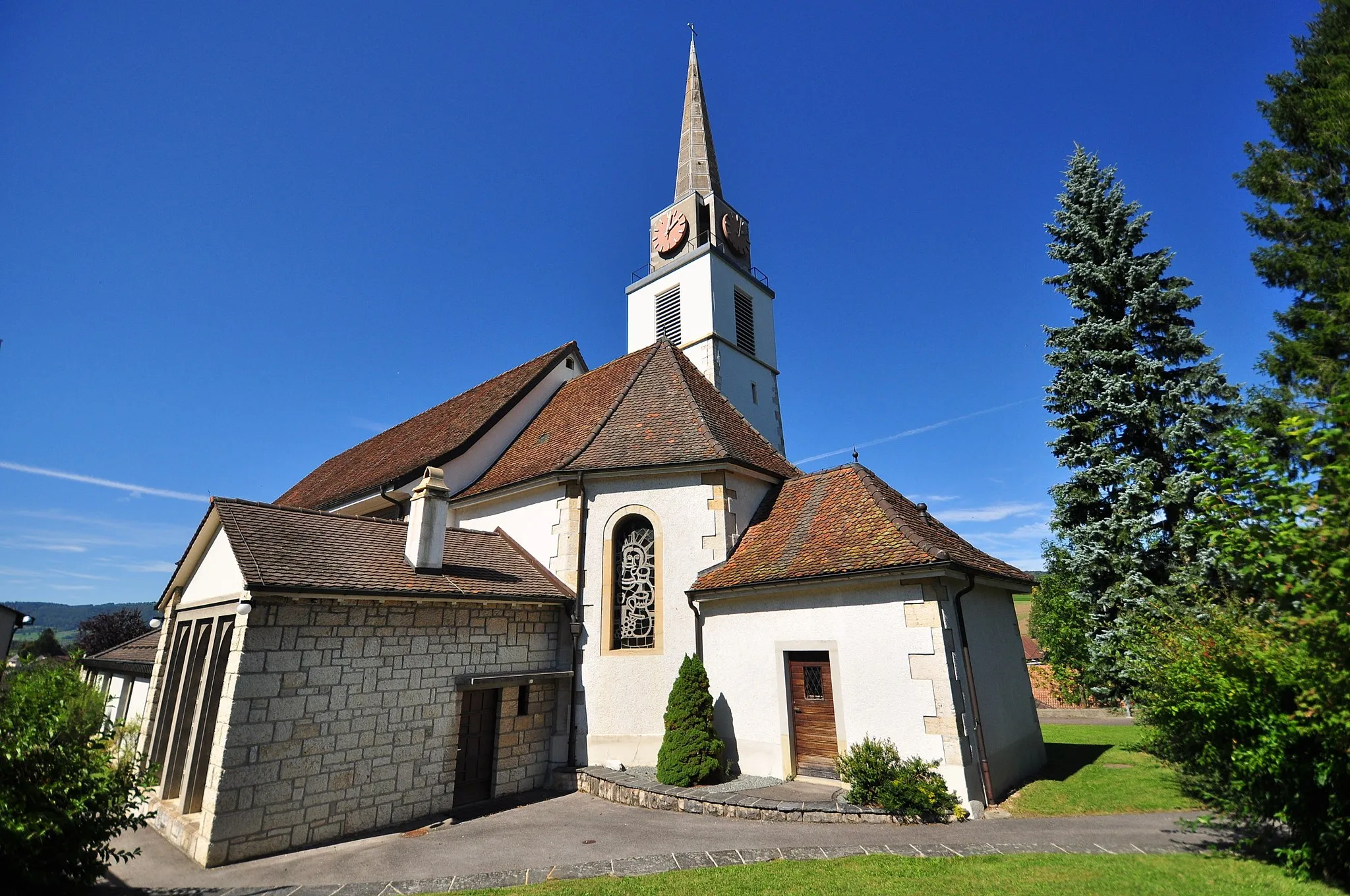
SaulesVillageSaules is a small village known for its picturesque Swiss farms and peaceful atmosphere.
12 km
12 km
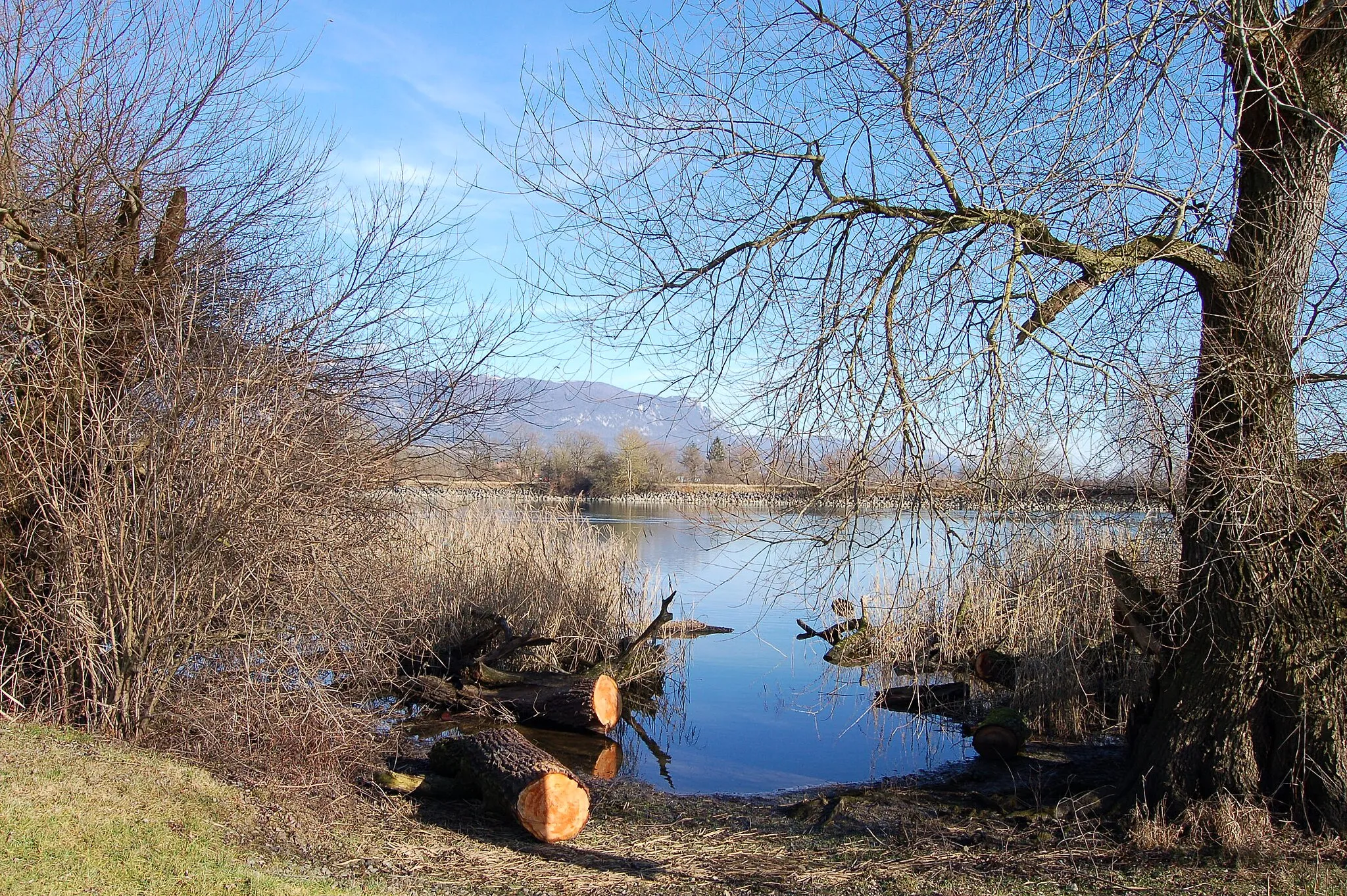
Le Coteniat900 mPeakLe Coteniat is a historic stone bridge that crosses a tranquil river, providing a great spot for photos.
25 km
25 km
Drapeau JurassienViewpointDrapeau Jurassien is a popular cycling path that offers beautiful views of the Jura Mountains.
26 km
26 km
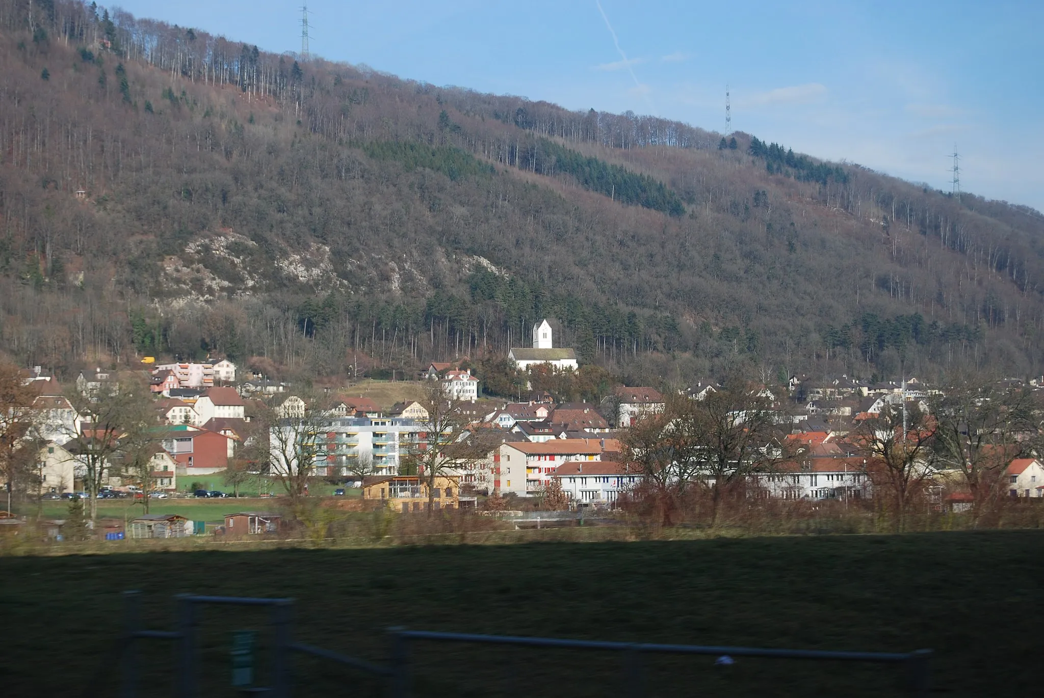
GlovelierVillageGlovelier is a charming Swiss village with traditional architecture and friendly locals.
31 km
31 km
MontavonHamletMontavon is a small hamlet located in a picturesque valley surrounded by rolling hills.
45 km
45 km
Montchaibeux627 mPeakMontchaibeux is a peaceful spot with stunning panoramic views over the countryside.
59 km
59 km
Mont Girod1044 mPeakMont Girod is a challenging climb with steep gradients and breathtaking views from the top.
61 km
61 km
ChampozVillageChampoz is a traditional Swiss village with well-preserved wooden houses and a peaceful atmosphere.
65 km
65 km
Finish: Malleray Village centerMalleray: Panoramic views and charming villages in Espace Mittelland
Cycling routes nearby: