Mountainous Road Adventure from Oberbuchsiten
A road cycling route starting from Oberbuchsiten
Discover challenging climbs and breathtaking views on this mountainous route
Map
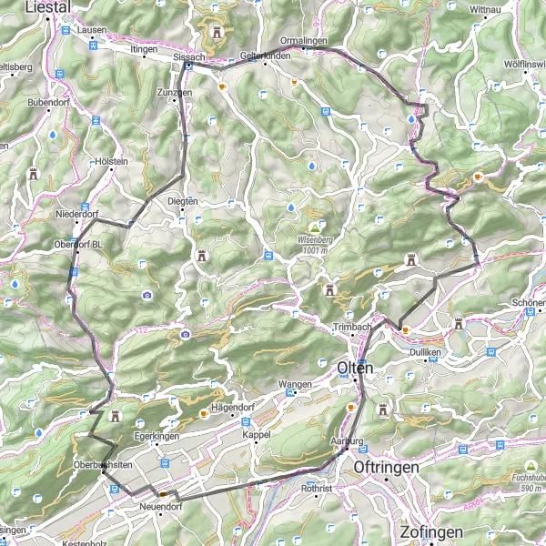
This mountainous road adventure starts in Oberbuchsiten and covers a distance of 72 kilometers with an elevation gain of 1228 meters. The route takes you through diverse landscapes, including challenging climbs and scenic vistas. Highlights along the way include Hard, Waldenburg, Buechholz, Gelterkinden, Oltingen, Leutschenberg, Känzeli, Aarburg, and Oberbuchsiten. Designed for experienced road cyclists, this route offers a thrilling and unforgettable experience for those seeking to test their cycling skills and enjoy panoramic views of the Espace Mittelland.
road
72 km
1228 m
Savage
Route profile
Highlights on the route
0 km
0 km
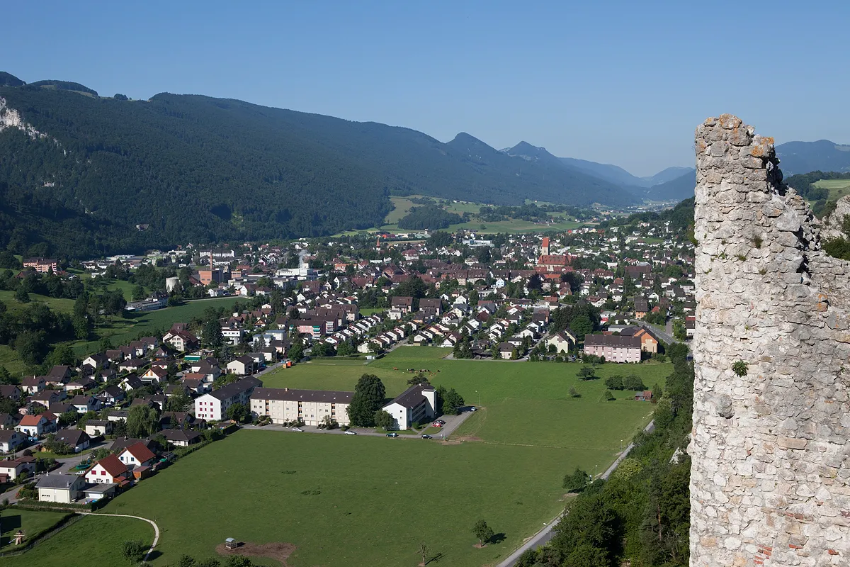
Start: Oberbuchsiten Village centerOberbuchsiten: Cycling paradise in breathtaking Espace Mittelland, Switzerland
Oberbuchsiten in Switzerland's Espace Mittelland region offers cyclists a great variety of cycling routes and stunning scenery. The area is well-known for its well-maintained roads and extensive network of cycling paths, making it a haven for cycling enthusiasts. Cyclists can enjoy riding along the rolling countryside of Espace Mittelland, with its charming villages, green pastures, and beautiful lakes. One of the famous cycling spots near Oberbuchsiten is the fairy-tale like Emmental Valley, which offers breathtaking views and challenging climbs. Whether you're a road cyclist or prefer off-road adventures, Oberbuchsiten caters to all types of cyclists with its diverse cycling options and bike-friendly facilities.2 km
2 km
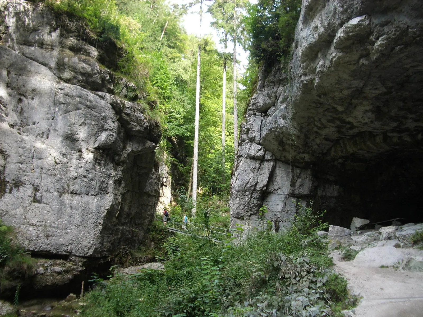
Hard767 mPeakHard is a small village known for its picturesque setting and challenging uphill sections.
12 km
12 km
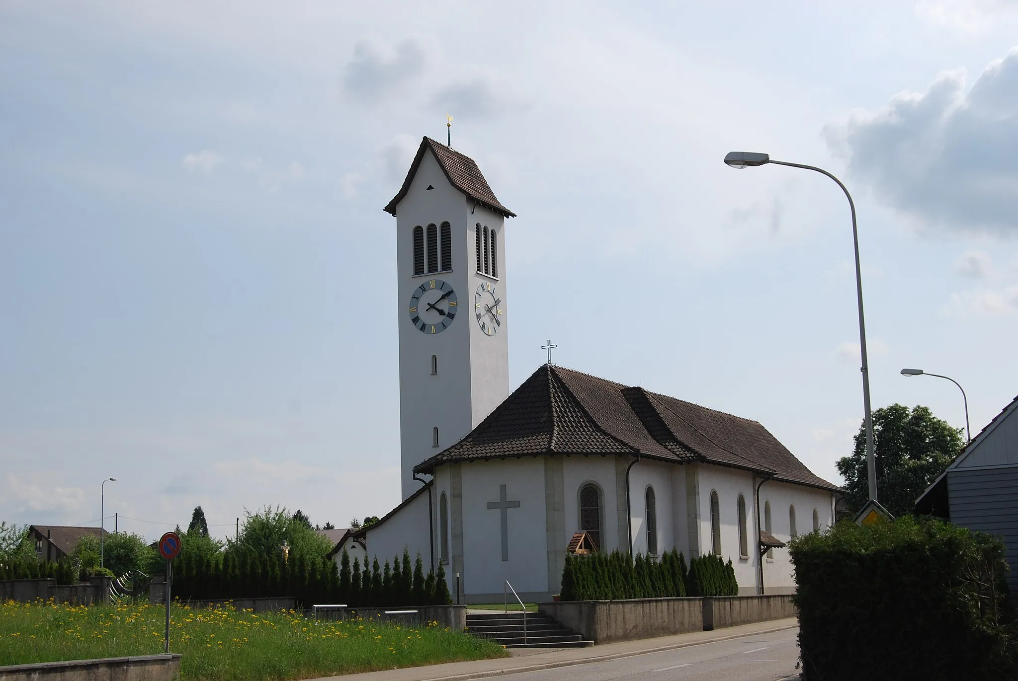
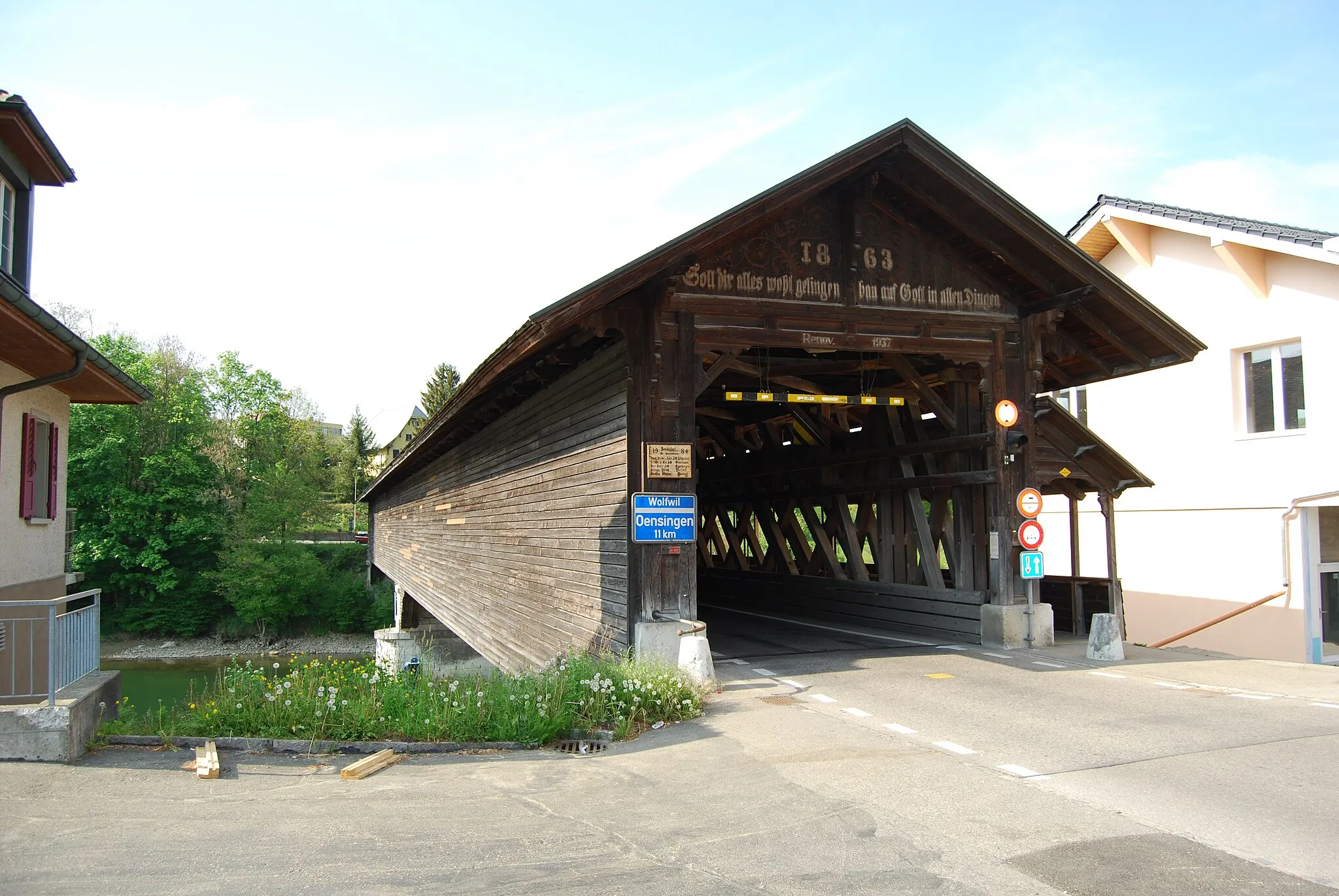
WaldenburgVillageWaldenburg is a medieval town with well-preserved architecture and offers delightful scenic views.
20 km
20 km
Buechholz523 mPeakBuechholz is a hilltop village with panoramic vistas over the surrounding mountains and valleys.
29 km
29 km
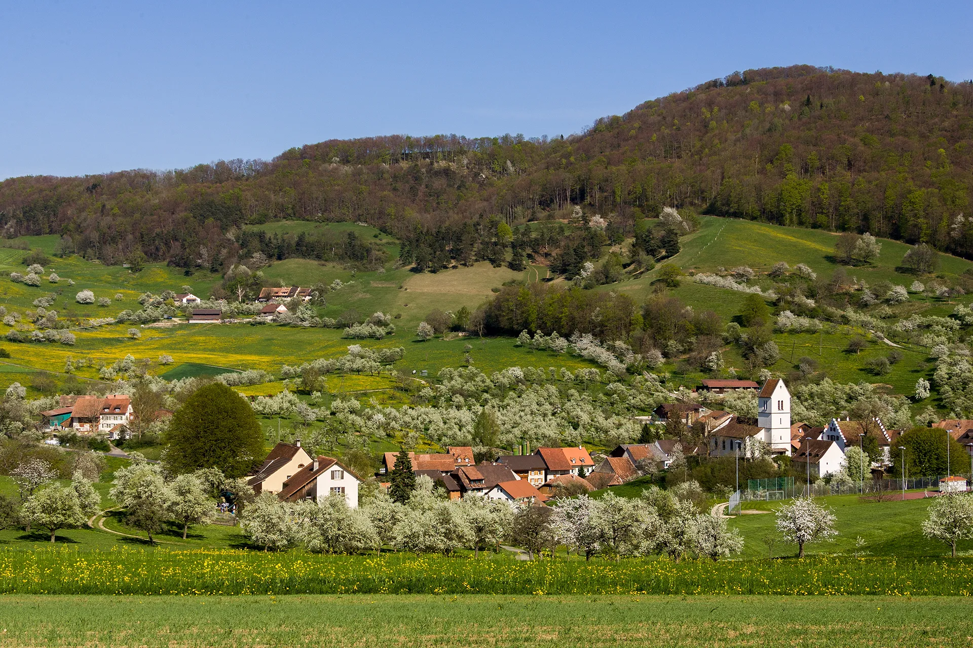
GelterkindenVillageGelterkinden is a charming town located in a picturesque valley with stunning natural surroundings.
39 km
39 km
OltingenVillageOltingen offers captivating alpine landscapes and cozy Swiss mountain village charm.
42 km
42 km
Leutschenberg925 mPeakLeutschenberg is a small hamlet with breathtaking views of the countryside and distant mountains.
56 km
56 km
KänzeliViewpointKänzeli is a viewpoint that offers unparalleled panoramic vistas of the entire region and beyond.
60 km
60 km
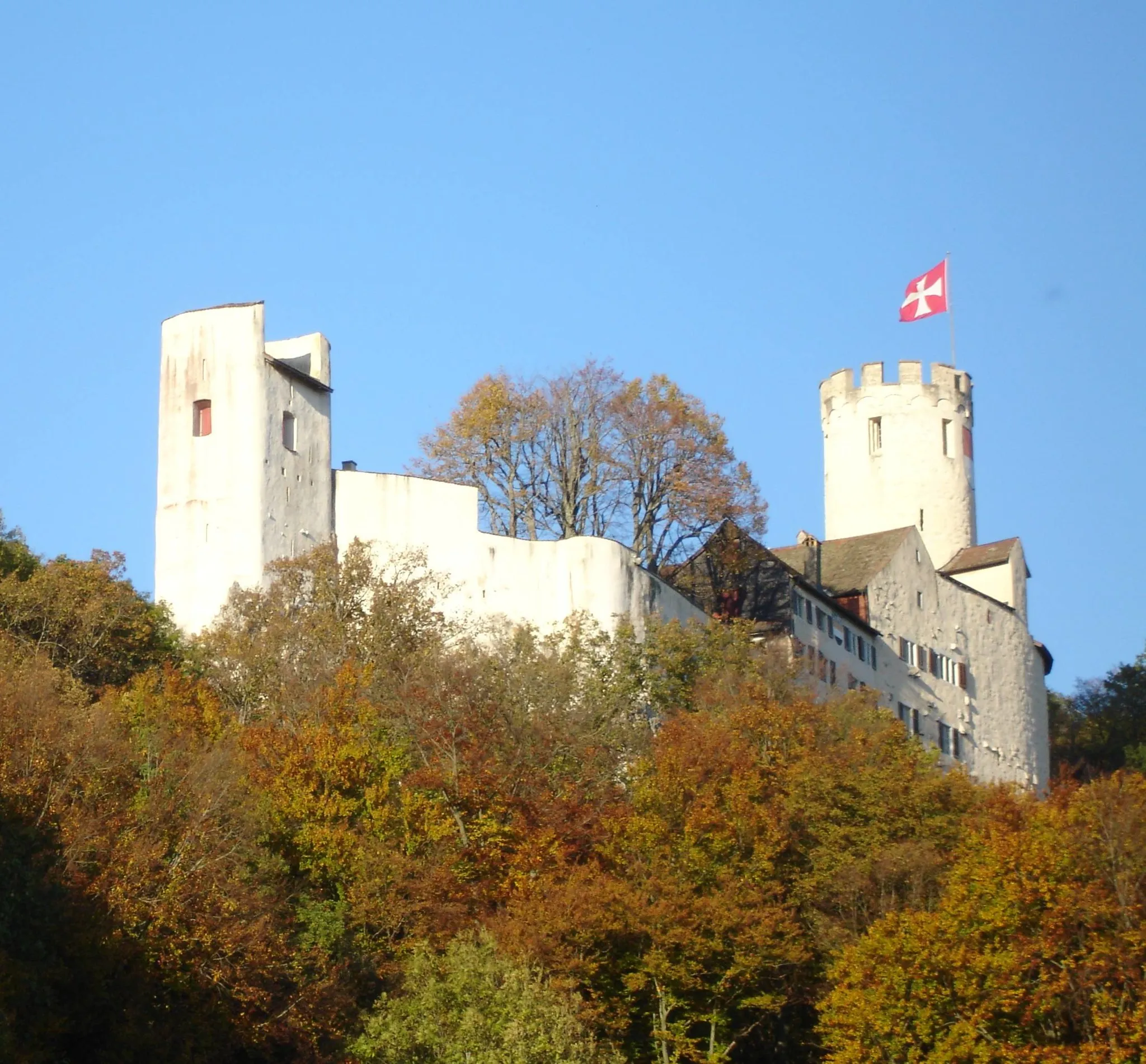
AarburgVillageAarburg is known for its historical castle, but apart from that, it doesn't offer remarkable attractions.
72 km
72 km
OberbuchsitenVillageOberbuchsiten is both the starting and finishing point of this challenging route, offering convenient amenities for cyclists.
72 km
72 km
Finish: Oberbuchsiten Village centerOberbuchsiten: Cycling paradise in breathtaking Espace Mittelland, Switzerland
Cycling routes from Oberbuchsiten:
Challenging Gravel Adventure from Oberbuchsiten Scenic Road Cycling Loop from Oberbuchsiten Mountainous Road Adventure from Oberbuchsiten Ultimate Gravel Adventure in the Mountains near Oberbuchsiten Mesmerizing Gravel Loop near Oberbuchsiten The Hills of Oberbuchsiten Gravel Adventure: From Born to Niederbuchsiten The Countryside Charm: Exploring Kirchberg to Chöpfli The Ultimate Climbing Challenge: Rheinfelden to Oberbuchsiten Off the Beaten Path: Exploring Egerkingen to Härkingen The Jura Challenge
Cycling routes nearby: