The Ultimate Gravel Challenge
A gravel cycling route starting from Saignelegier
Embark on an epic gravel adventure through the challenging terrains near Saignelégier.
Map
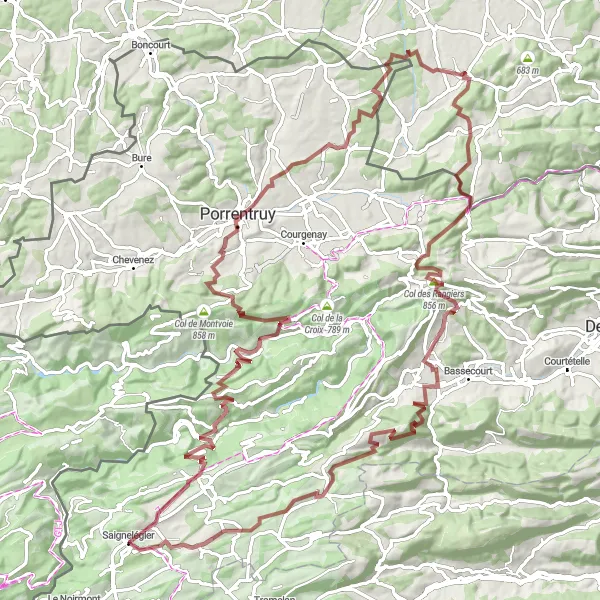
If you're seeking the ultimate gravel challenge, this 116km round-trip route is perfect for you. Starting near Saignelégier, you will conquer steep ascents and thrilling descents while exploring Les Hormets, Soubey, Ocourt, Porrentruy, Vendlincourt, Durlinsdorf, Col des Rangiers, Montavon, Jolimont, and Lajoux JU. This route is not for the faint-hearted.
gravel
116 km
3110 m
Savage
Route profile
Highlights on the route
0 km
0 km
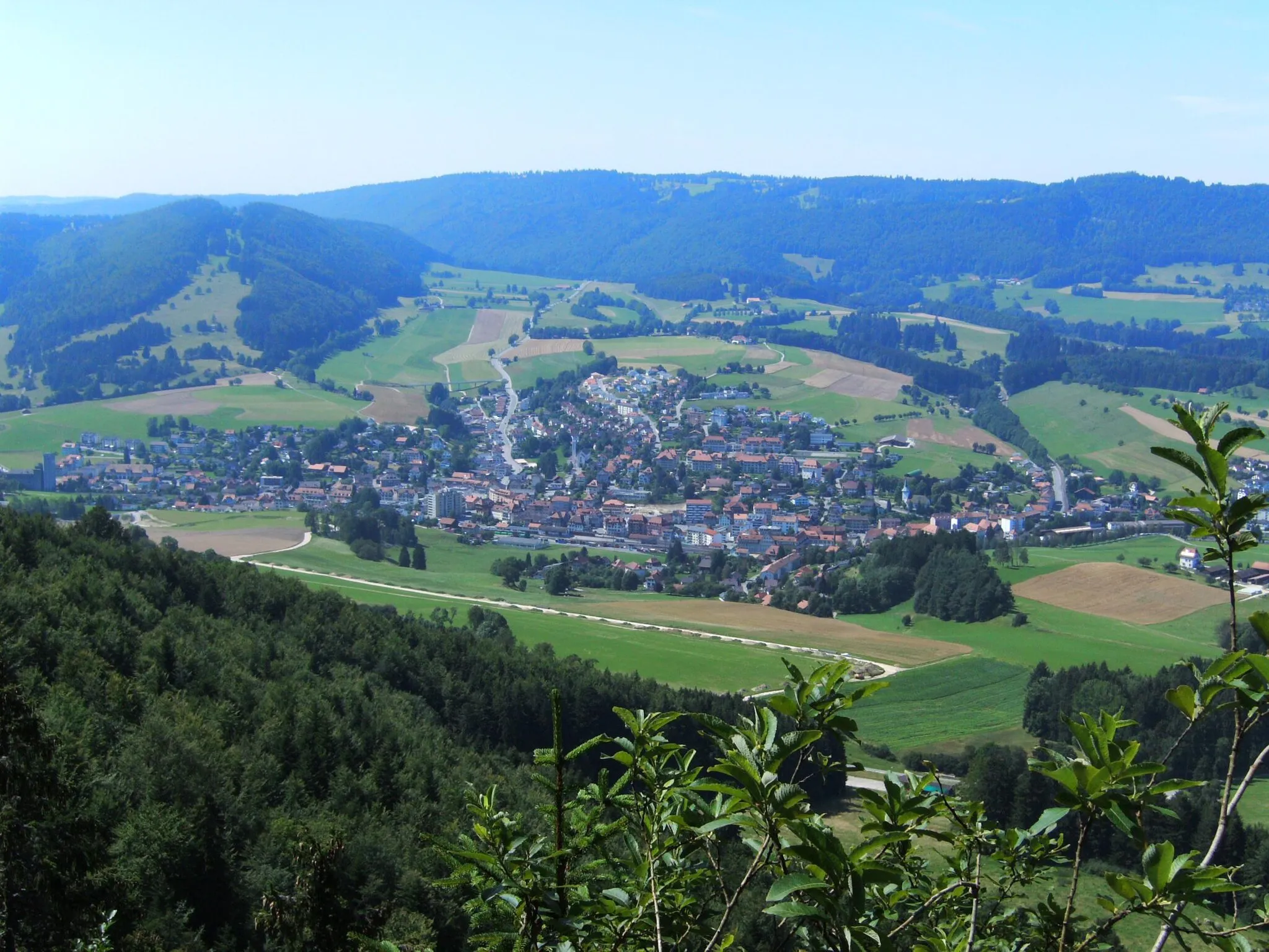
Start: Saignelégier Village centerSaignelégier: Versatile cycling routes amidst beautiful landscapes.
Saignelégier is a locality situated in the Espace Mittelland region of Switzerland. From a cyclist's perspective, it offers a mix of flat and hilly terrains, making it suitable for a variety of cycling experiences. The region is known for its well-maintained roads and cycling-friendly infrastructure. Nearby, you can find Col de la Tourne, a challenging climb that attracts cyclists from all over. Saignelégier is a great destination for both road and gravel cyclists, offering scenic views and peaceful surroundings.12 km
12 km
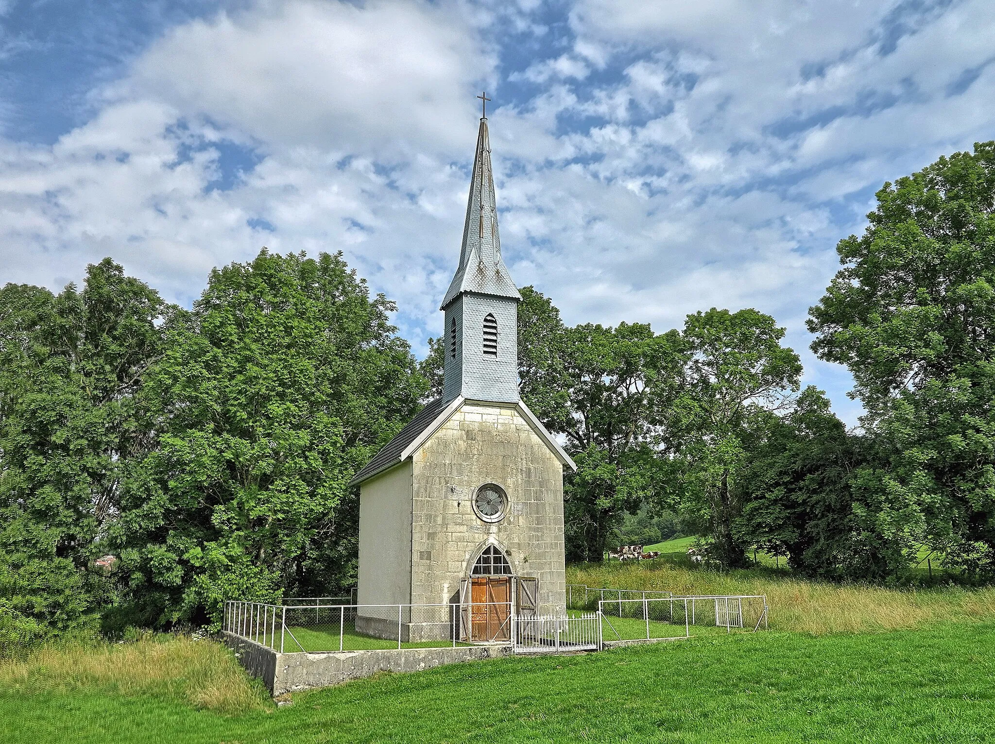
Les HormetsViewpointTake a moment to appreciate the idyllic beauty of Les Hormets and its peaceful countryside views.
12 km
12 km
SoubeyVillageCycle through Soubey, a charming river-side village showcasing picturesque half-timbered houses.
23 km
23 km
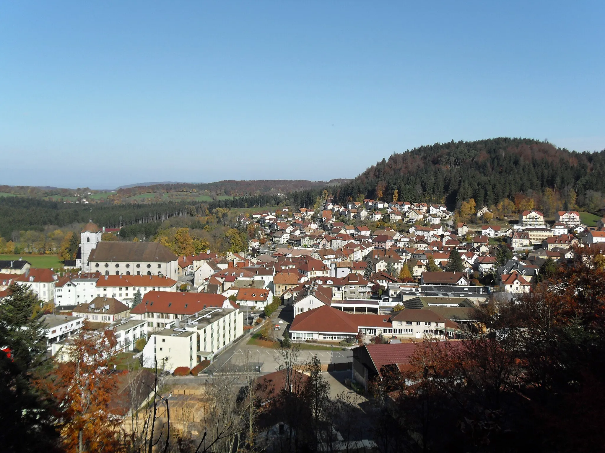
OcourtVillageChallenge yourself on the ascent to Ocourt, where you'll be rewarded with panoramic views.
39 km
39 km
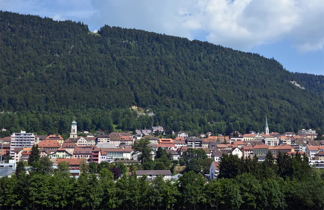
PorrentruyTownExplore Porrentruy, an ancient town with medieval walls and a stunning castle.
47 km
47 km
VendlincourtVillagePass through Vendlincourt and enjoy cycling along the border between Switzerland and France.
60 km
60 km
DurlinsdorfVillageExperience the serene countryside of Durlinsdorf, with its charming farms and rolling hills.
78 km
78 km
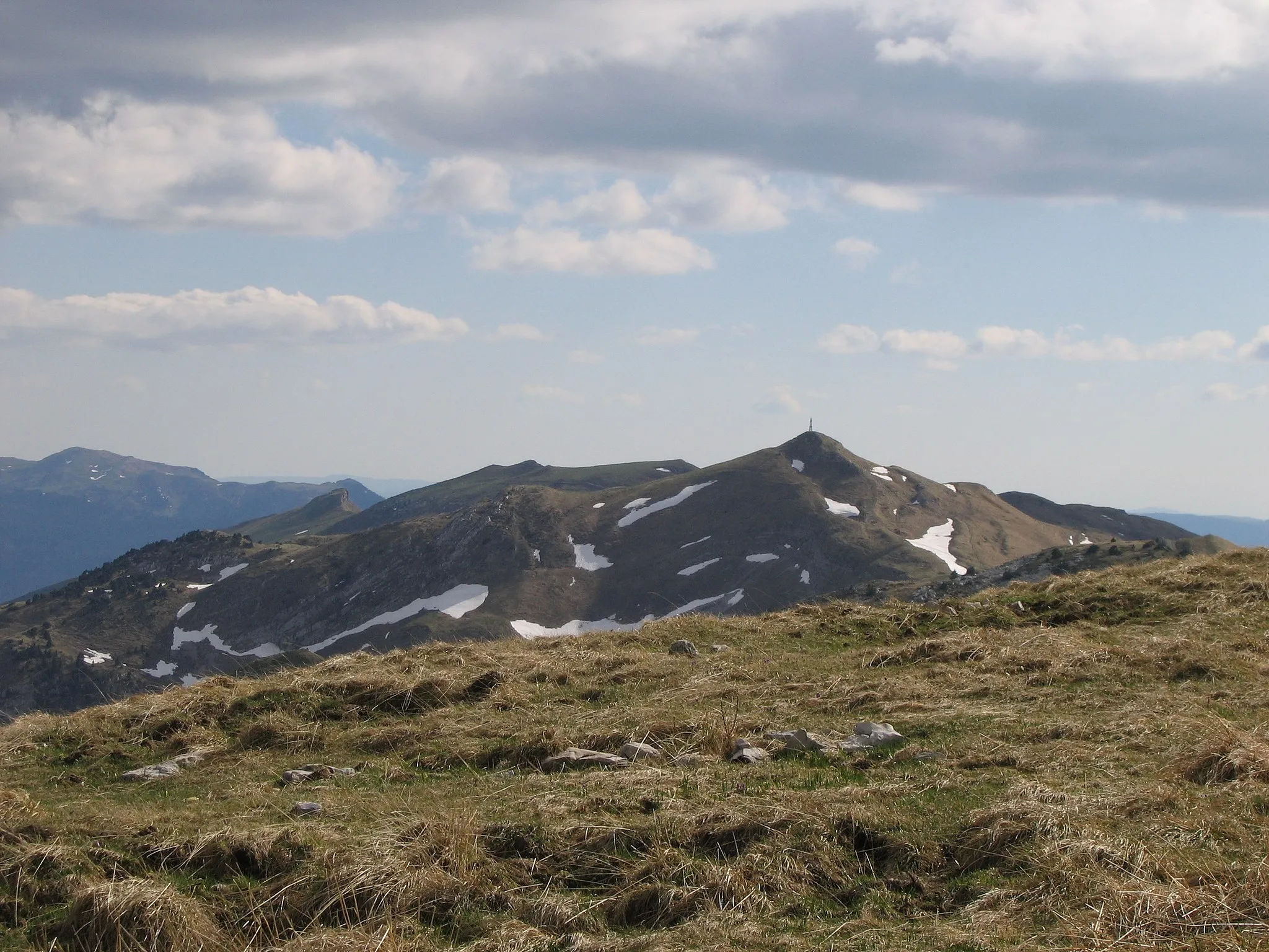
Col des Rangiers856 mMountain PassConquer the epic Col des Rangiers, known among cyclists as one of the most challenging climbs.
81 km
81 km
MontavonHamletRide through the historic village of Montavon and marvel at its well-preserved traditional architecture.
95 km
95 km
Jolimont1026 mPeakAdmire the incredible views from Jolimont, a popular spot for taking in the surrounding landscapes.
104 km
104 km
Lajoux JUVillageEnd your journey at Lajoux JU, a tranquil village offering stunning panoramas and a peaceful atmosphere.
116 km
116 km
Finish: Saignelégier Village centerSaignelégier: Versatile cycling routes amidst beautiful landscapes.
Cycling routes nearby: