The Mountain Challenge
A road cycling route starting from Saint-Aubin-Sauges
Conquer the mountain challenge on this demanding road route.
Map
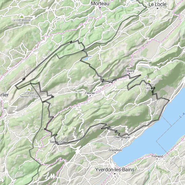
This challenging road cycling route near Saint-Aubin-Sauges covers a total distance of 121 kilometers with an ascent of 3136 meters. Get ready to push yourself to the limit as you conquer the mountain terrain and experience the thrill of achievement.
road
121 km
3136 m
Savage
Route profile
Highlights on the route
0 km
0 km
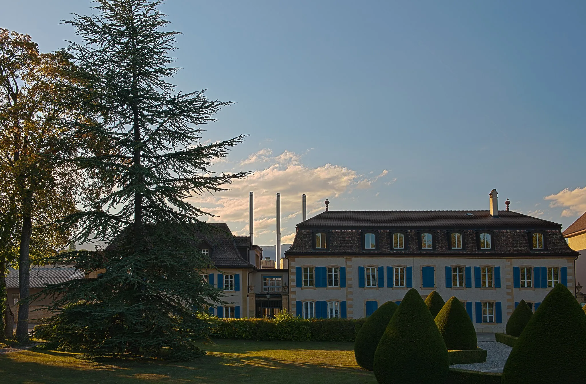
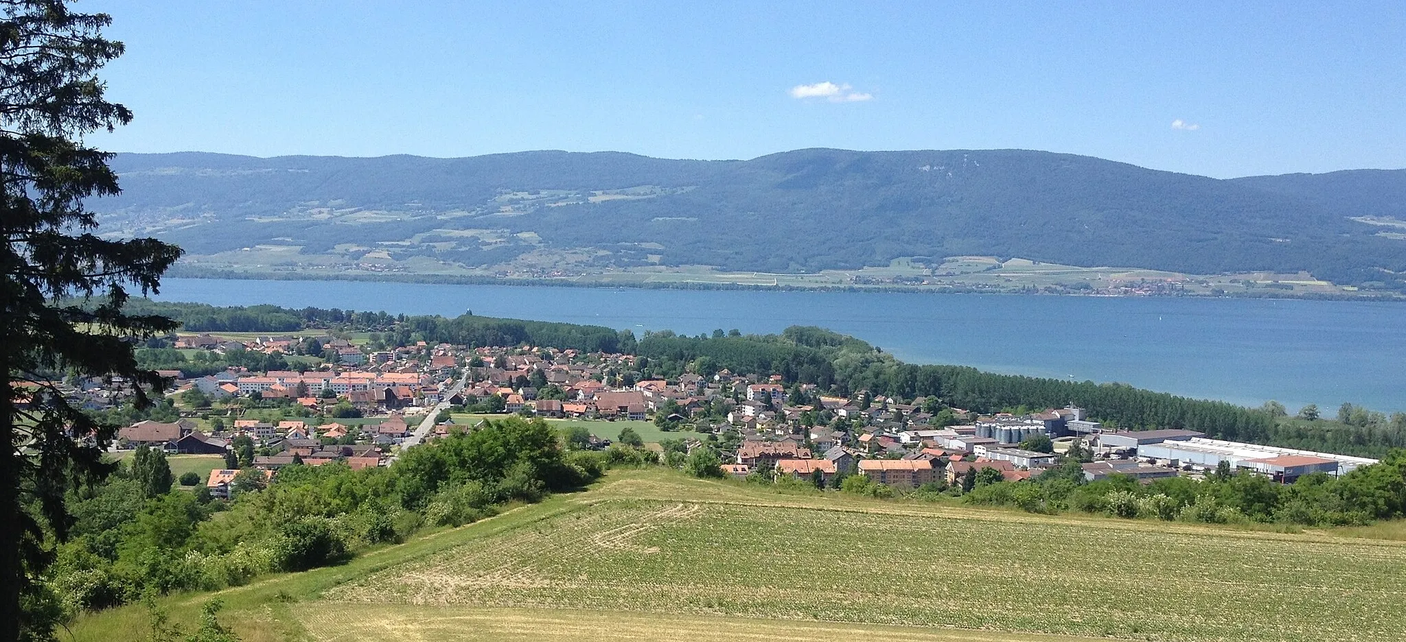
Start: Saint-Aubin-Sauges Village centerSaint-Aubin-Sauges: Cycling paradise in Espace Mittelland
Saint-Aubin-Sauges, located in the Espace Mittelland region of Switzerland, is a cyclist's dream destination. The town offers breathtaking views and well-maintained cycling paths, perfect for road and gravel cyclists to explore. The area's picturesque landscapes, including rolling hills and pristine lakes, create an idyllic setting for cycling enthusiasts. Cyclists can challenge themselves with climbs like Gruyères, a famous cycling location nearby. With its stunning natural beauty and unparalleled cycling opportunities, Saint-Aubin-Sauges deserves a rank of 5.11 km
11 km
BonvillarsVillageBonvillars is a charming village nestled in the heart of the vineyards. Take a moment to appreciate the picturesque setting and vineyard landscapes.
28 km
28 km
BulletVillageBullet is a small village located on the banks of the Arnon River. Rest and recharge by the serene riverside.
34 km
34 km
Col des Etroits1152 mMountain PassCol des Etroits is a challenging mountain pass with stunning views of the surrounding peaks. Push through the difficult ascent and enjoy the reward of breathtaking vistas.
42 km
42 km
La Côte-aux-FéesVillageLa Côte-aux-Fées is a quaint village belonging to the Val-de-Travers region. Explore the idyllic charm and natural beauty of the area.
59 km
59 km
Le Grand Taureau1323 mPeakLe Grand Taureau is a mountain peak offering remarkable panoramic views of the Swiss Alps. Take a moment to appreciate the grandeur of the mountains.
68 km
68 km
Les AlliésVillageLes Alliés is a beautiful area known for its stunning landscapes and walking trails. Immerse yourself in the tranquility of nature.
82 km
82 km
Mont Châteleu1301 mPeak ViewpointMont Châteleu is a mountain summit that offers panoramic views of the Swiss Jura. Enjoy the awe-inspiring vistas and rugged beauty of the landscape.
96 km
96 km
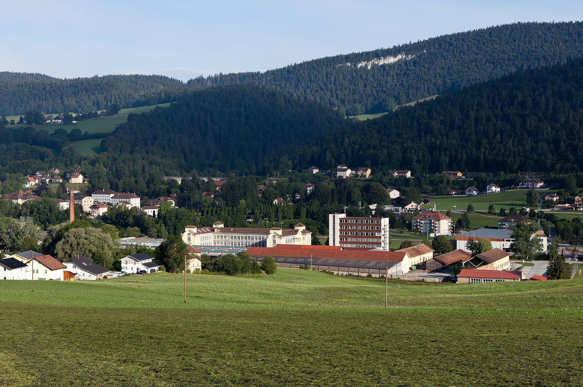
CouvetVillageCouvet is a picturesque village located in the Val-de-Travers region. Explore the charming streets and discover the local culture.
112 km
112 km
Le Soliat1465 mPeakLe Soliat is a scenic viewpoint that overlooks the majestic Creux du Van. Marvel at the breathtaking natural amphitheater carved by nature.
118 km
118 km
MontalchezVillageMontalchez is a small village known for its traditional Swiss architecture. Appreciate the charming beauty of the village as you pass through.
121 km
121 km
Finish: Saint-Aubin-Sauges Village centerSaint-Aubin-Sauges: Cycling paradise in Espace Mittelland
Cycling routes from Saint-Aubin-Sauges:
The Challenging Tour of Saint-Aubin-Sauges The Adventurous Gravel Ride near Saint-Aubin-Sauges The Scenic Gravel Loop from Saint-Aubin-Sauges The Scenic Gravel Ride through Saint-Aubin-Sauges The Grand Tour of Saint-Aubin-Sauges The Gravel Adventure The Hills and Valleys Gravel Ride The Road to Champagne The Mountain Challenge The Ultimate Challenge Gravel Exploration from Saint-Aubin-Sauges Gravel Loop from Saint-Aubin-Sauges
Cycling routes nearby: