Col des Pontins Gravel Route
A gravel cycling route starting from Saint-Imier
Conquer the challenging Col des Pontins on this gravel cycling route starting from Saint-Imier.
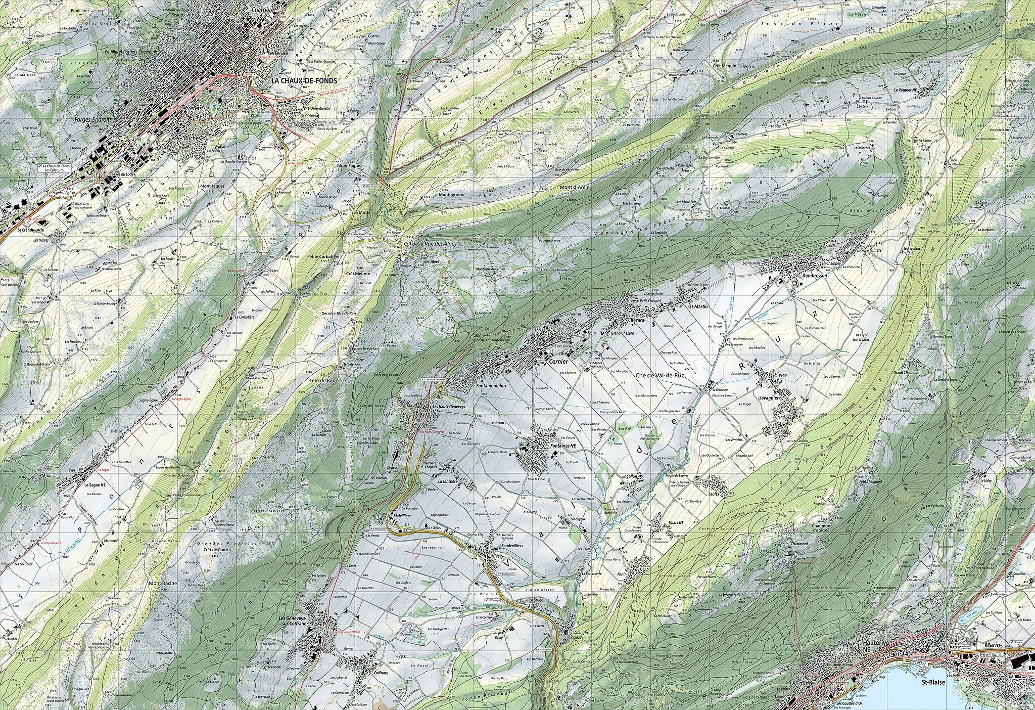
Map
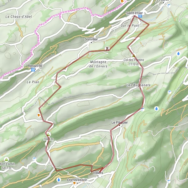
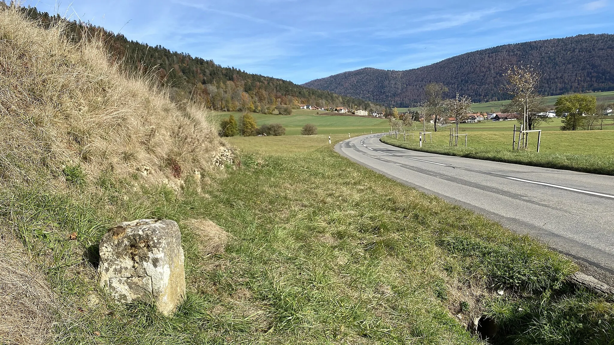
Embark on a thrilling gravel adventure with this route starting from Saint-Imier. Covering a distance of 29 kilometers with an ascent of 1027 meters, this intermediate-level route offers a exciting challenge for gravel enthusiasts. The highlight of this route is reaching Col des Pontins, a steep and demanding climb known for pushing riders to their limit. Along the way, you'll also pass through interesting places like Dombresson and Mont-Soleil, where you can take in stunning panoramic views of the surrounding countryside.
gravel
29 km
1027 m
Tough
Route profile
Highlights on the route
0 km
0 km
Start: Saint-Imier Village centerSaint-Imier: Scenic cycling haven in Espace Mittelland
Saint-Imier is located in Switzerland, specifically in the region of Espace Mittelland. As a road and gravel cyclist, you'll find Saint-Imier to be a paradise with its picturesque landscapes and well-maintained cycling routes. The region offers a perfect combination of challenging climbs and scenic descents, attracting both professional and recreational cyclists. One well-known cycling-related spot near Saint-Imier is the Chasseral, a mountain pass famous for its stunning panoramic views. With its cycling-friendly infrastructure and stunning natural surroundings, Saint-Imier ranks high as a cycling destination for enthusiasts.0 km
0 km
Saint-ImierVillageStart your journey from the picturesque town of Saint-Imier, known for its vibrant watchmaking heritage.
3 km
3 km
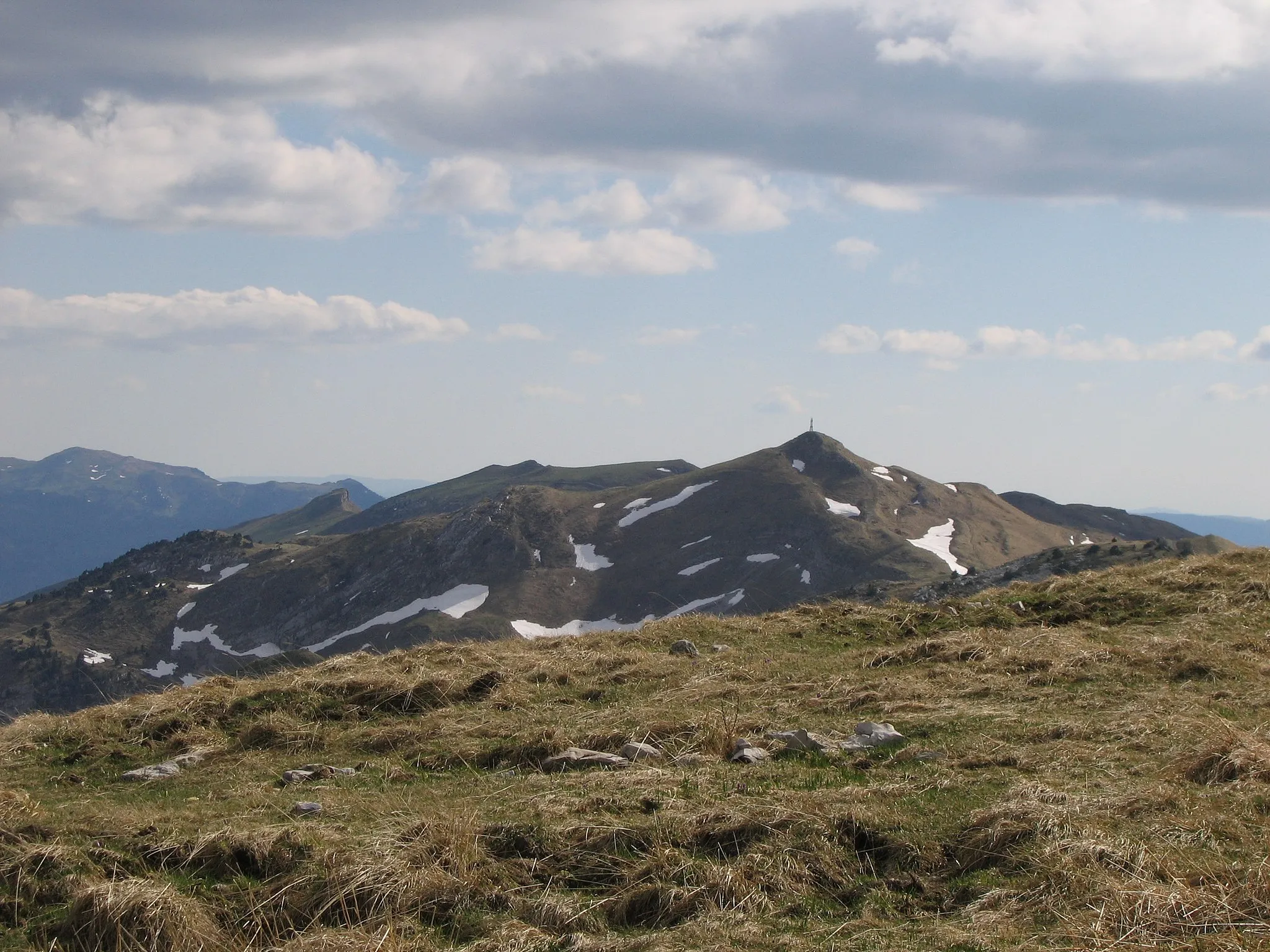
Col des Pontins1110 mMountain PassConquer the challenging Col des Pontins, a steep climb that offers rewarding views at the top.
14 km
14 km
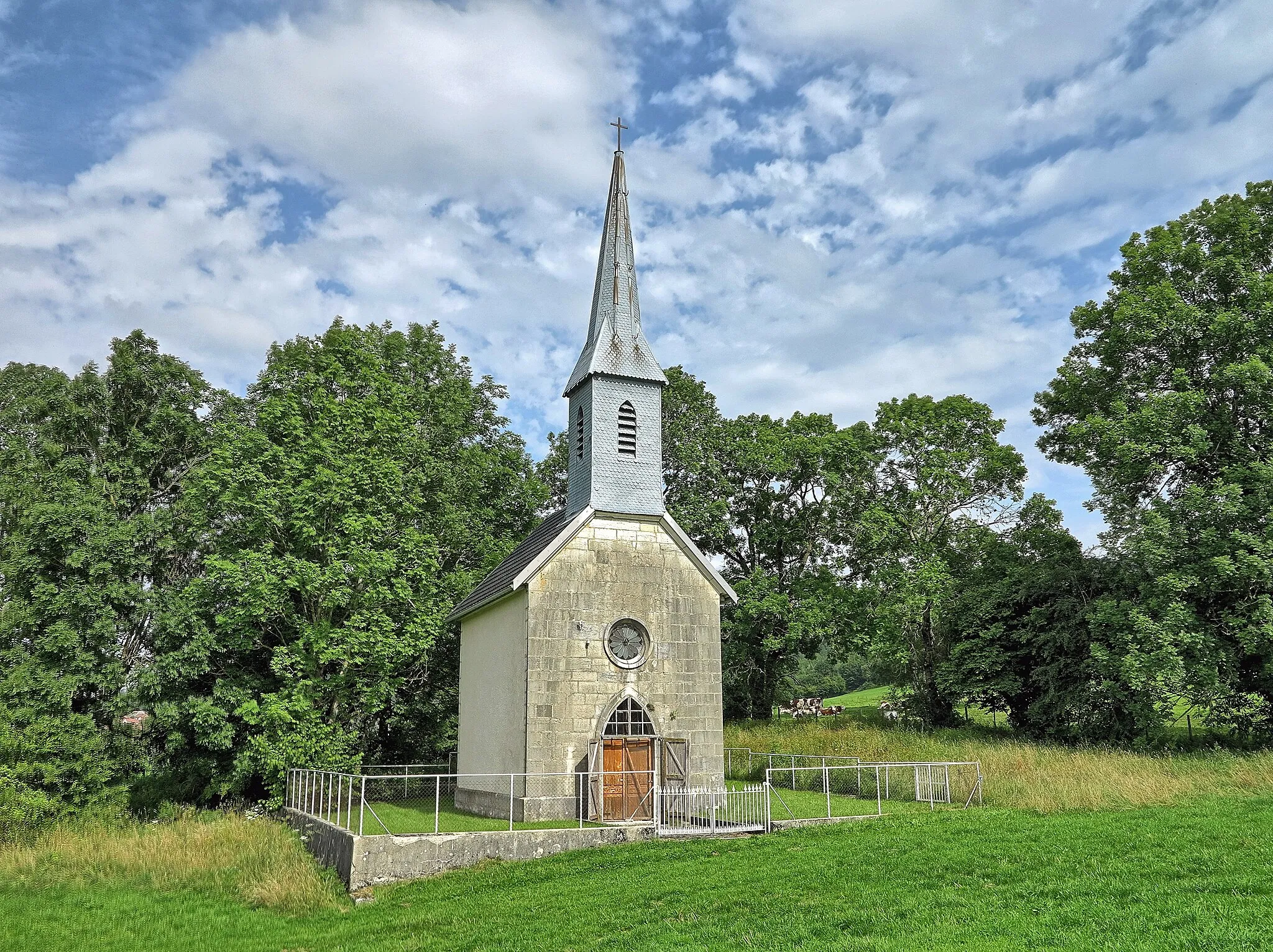
DombressonVillageMake a stop at Dombresson to explore its charming streets, traditional architecture, and picturesque countryside.
28 km
28 km
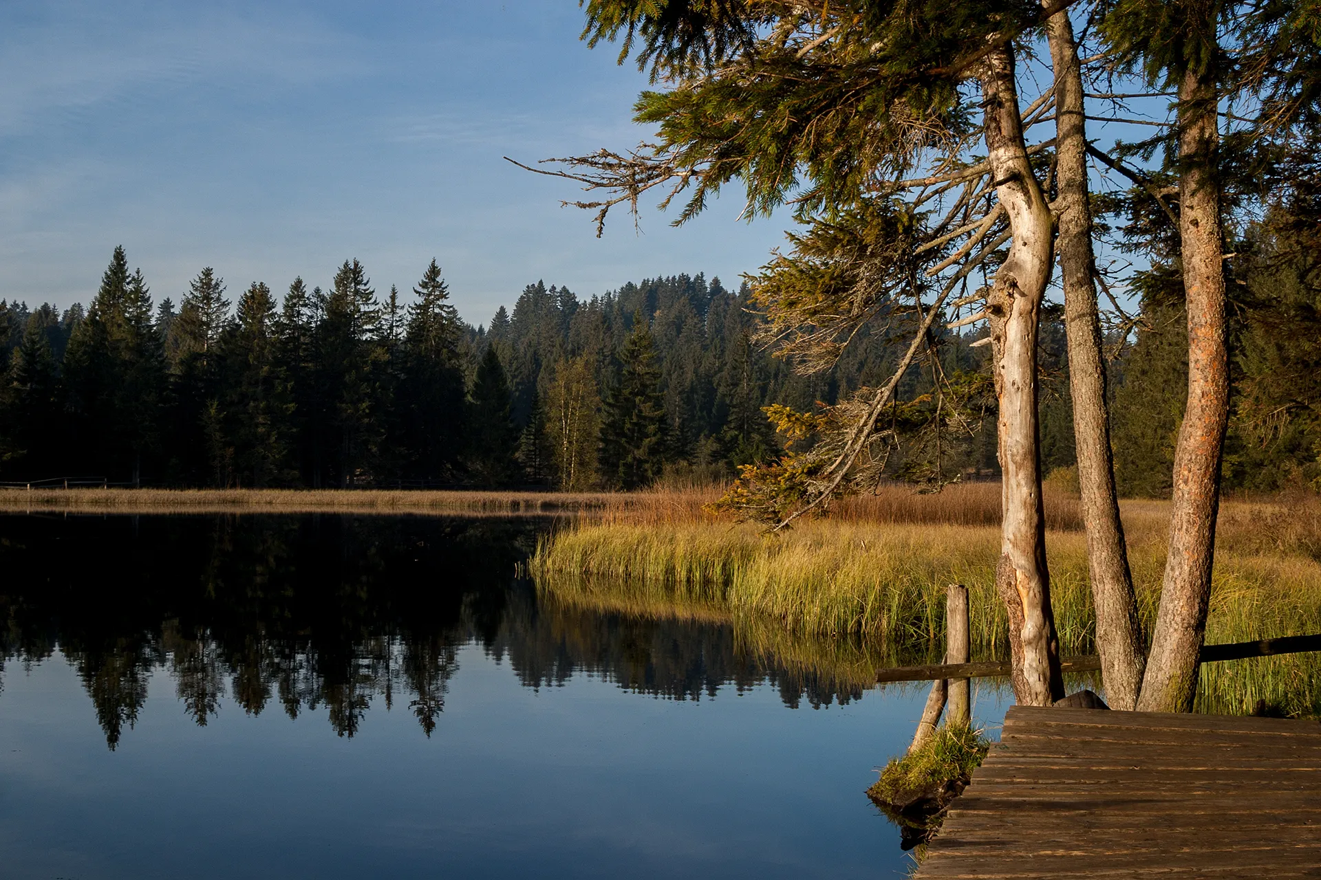
Mont-SoleilHamletReach Mont-Soleil and witness the impressive wind turbines that make it a popular spot for renewable energy enthusiasts.
28 km
28 km
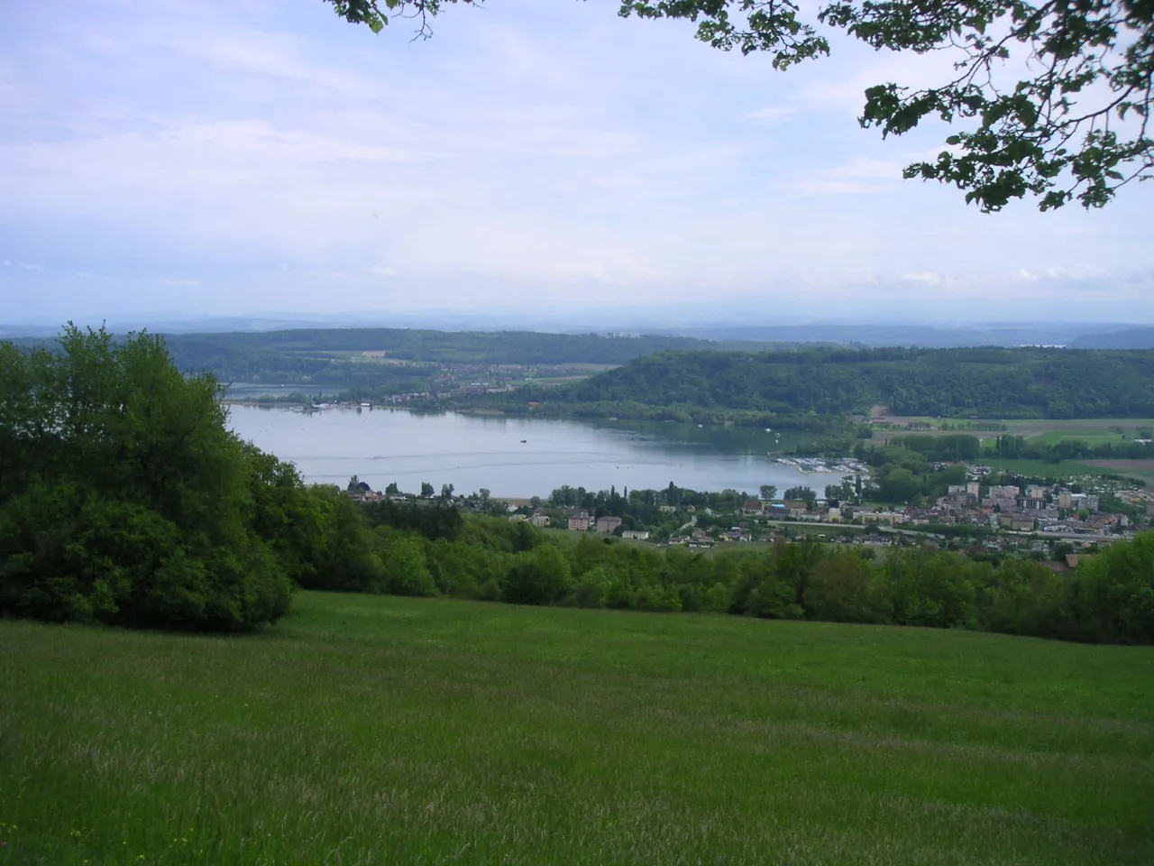
BelvédèreViewpointVisit Belvédère and enjoy panoramic views of the rolling hills and valleys of the Jura Mountains.
29 km
29 km
Finish: Saint-Imier Village centerSaint-Imier: Scenic cycling haven in Espace Mittelland
Cycling routes nearby: