Thun Lake Road and Mountain Challenge
A road cycling route starting from Sigriswil
Combining road and mountain cycling to conquer epic terrain near Thun Lake
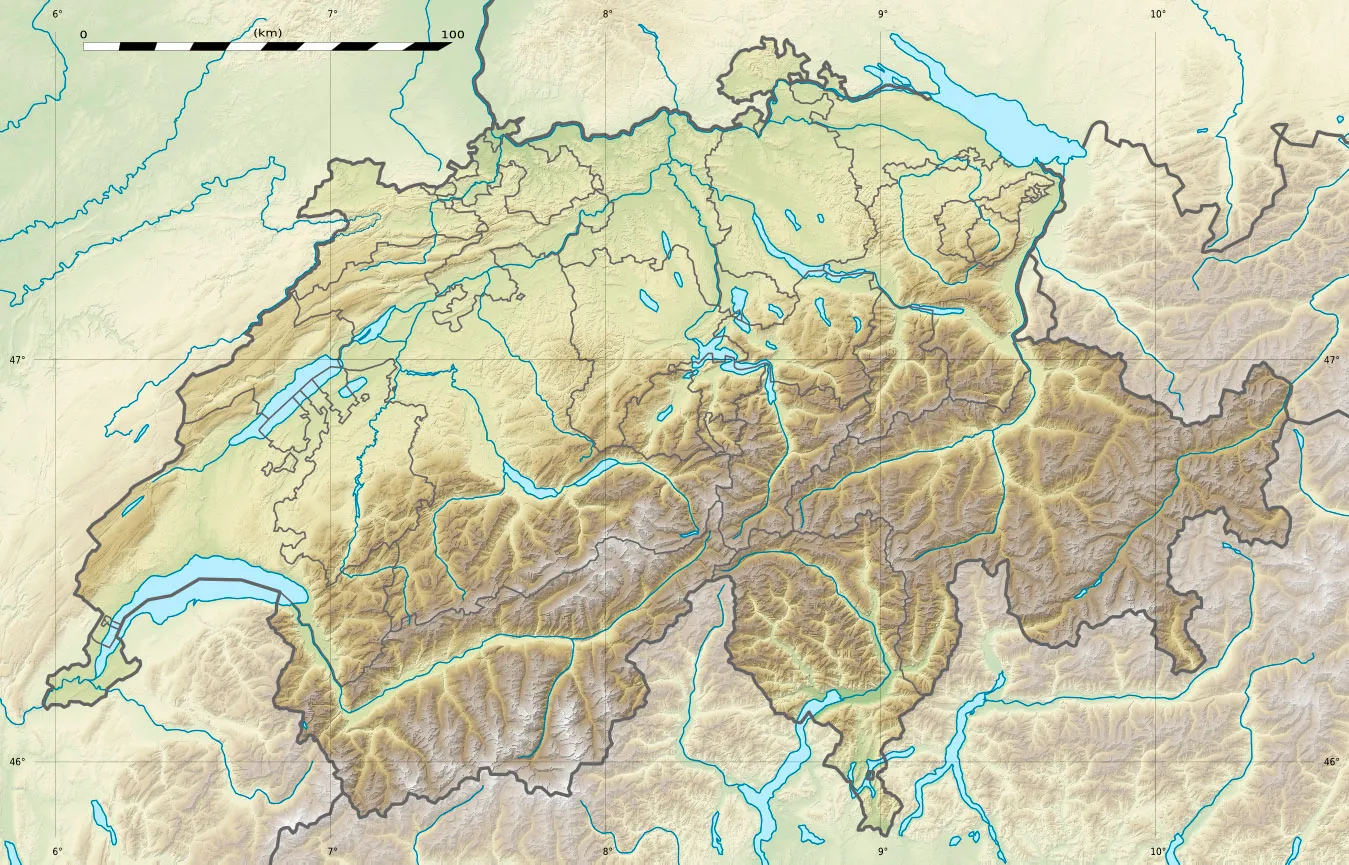
Map
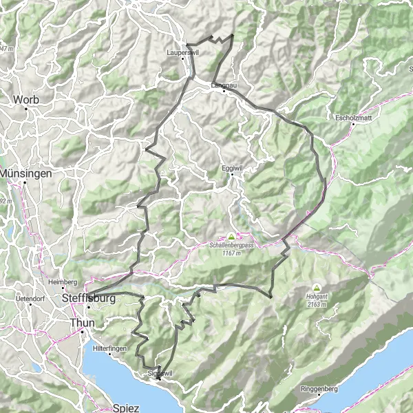
Embark on a diverse and challenging cycling adventure featuring both road and mountain trails near Thun Lake. Covering a distance of 113 kilometers and an ascent of 2,949 meters, this route promises excitement and spectacular scenery. Highlights include Heiligenschwendi, Egg, Steffisburg, Aussichtsturm Chuderhüsi, Signau, Langnau, Chrüzhöchi, Guggchnubel, Marbach, Eriz, Hubel, and concludes in Sigriswil.
road
113 km
2949 m
Savage
Route profile
Highlights on the route
0 km
0 km
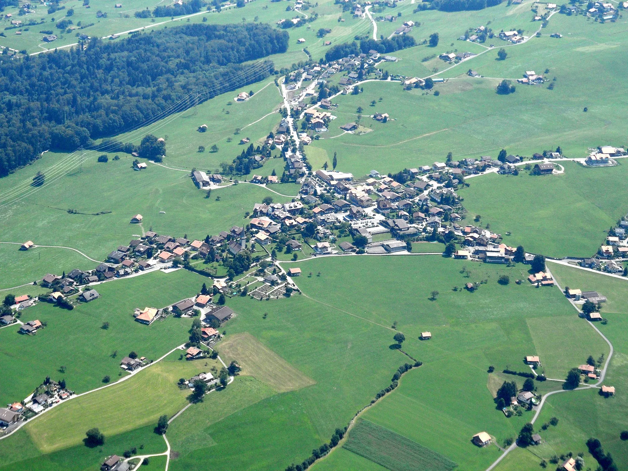
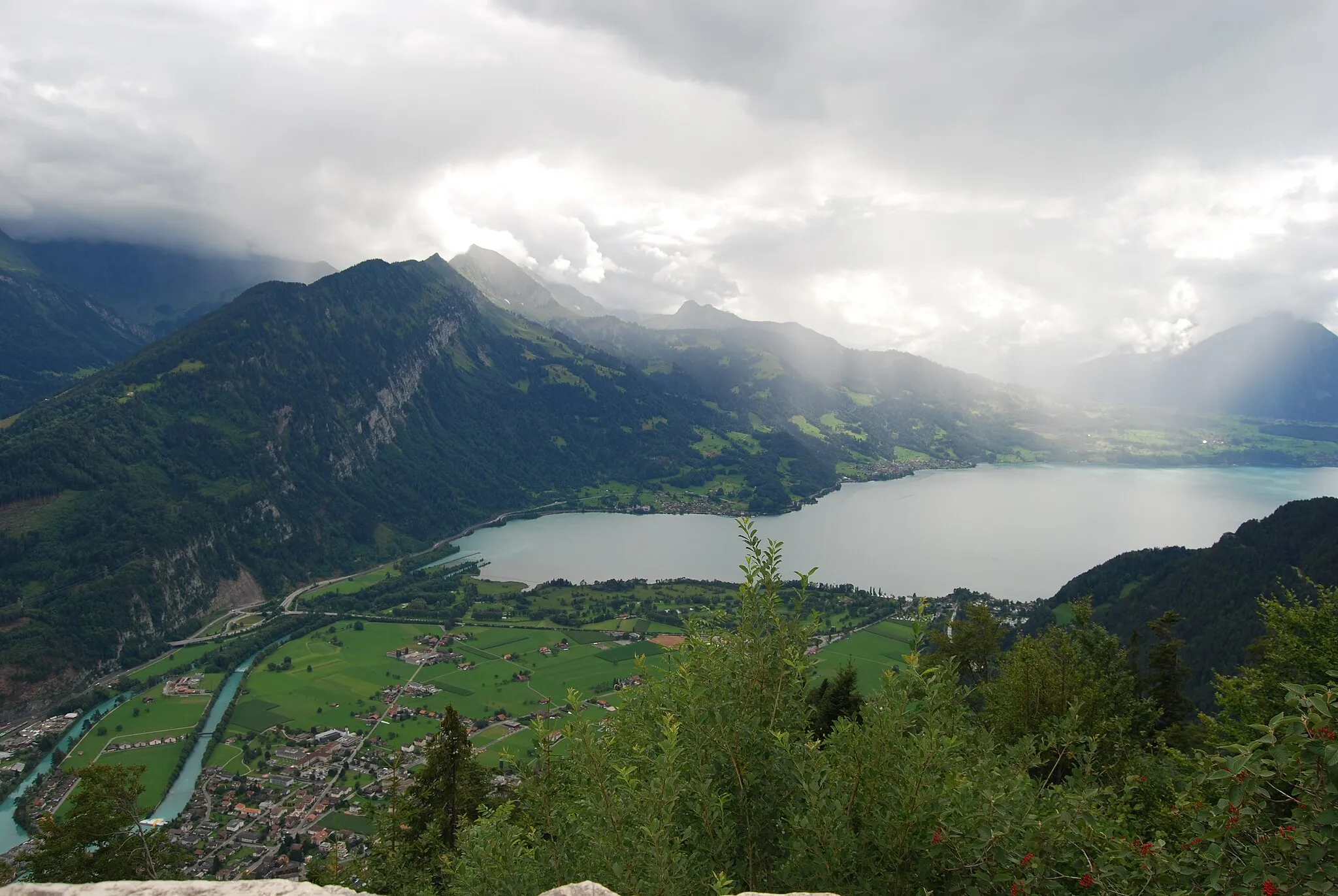
Start: Sigriswil Village centerSigriswil: Exploring nature on two wheels in Sigriswil.
Sigriswil is a town located in the Espace Mittelland region of Switzerland. From a cyclist's perspective, Sigriswil offers a mix of cycling opportunities for both road and gravel cyclists. The roads in Sigriswil are well-maintained, making it suitable for road cycling. There are also gravel paths and trails that provide a more adventurous experience for gravel cyclists. One of the famous cycling-related spots near Sigriswil is the Gantrisch Natural Park, which offers stunning natural landscapes for cyclists to explore. Overall, Sigriswil is a picturesque destination for cyclists, with its diverse terrains and beautiful scenery.8 km
8 km
HeiligenschwendiVillageHeiligenschwendi awaits at 8 kilometers, offering sweeping views of the surrounding mountains and Thun Lake from its elevated position.
10 km
10 km
Egg1172 mPeakEgg, located 10 kilometers into the route, presents riders with a challenging mountain climb and rewarding panoramic vistas.
18 km
18 km
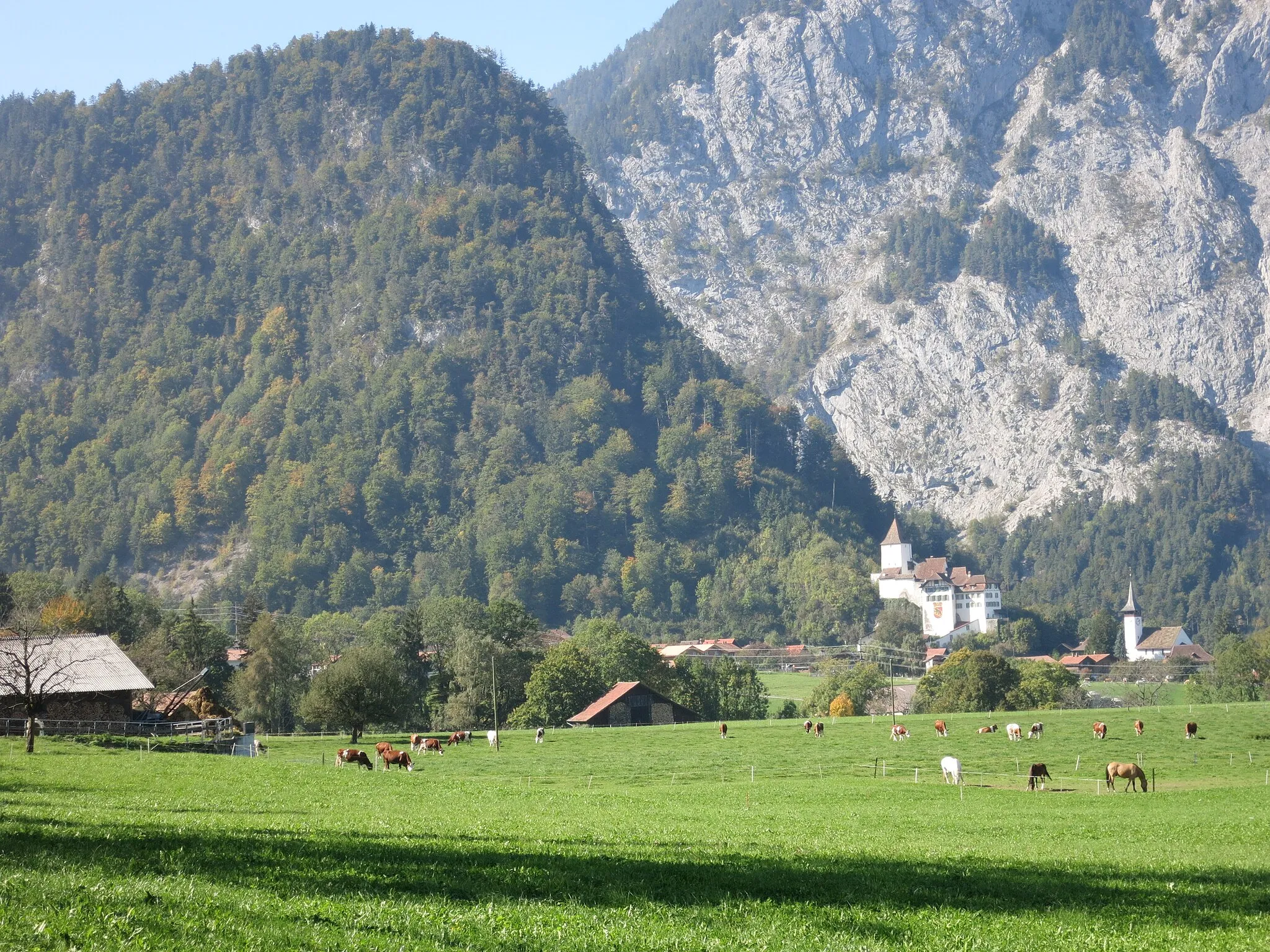
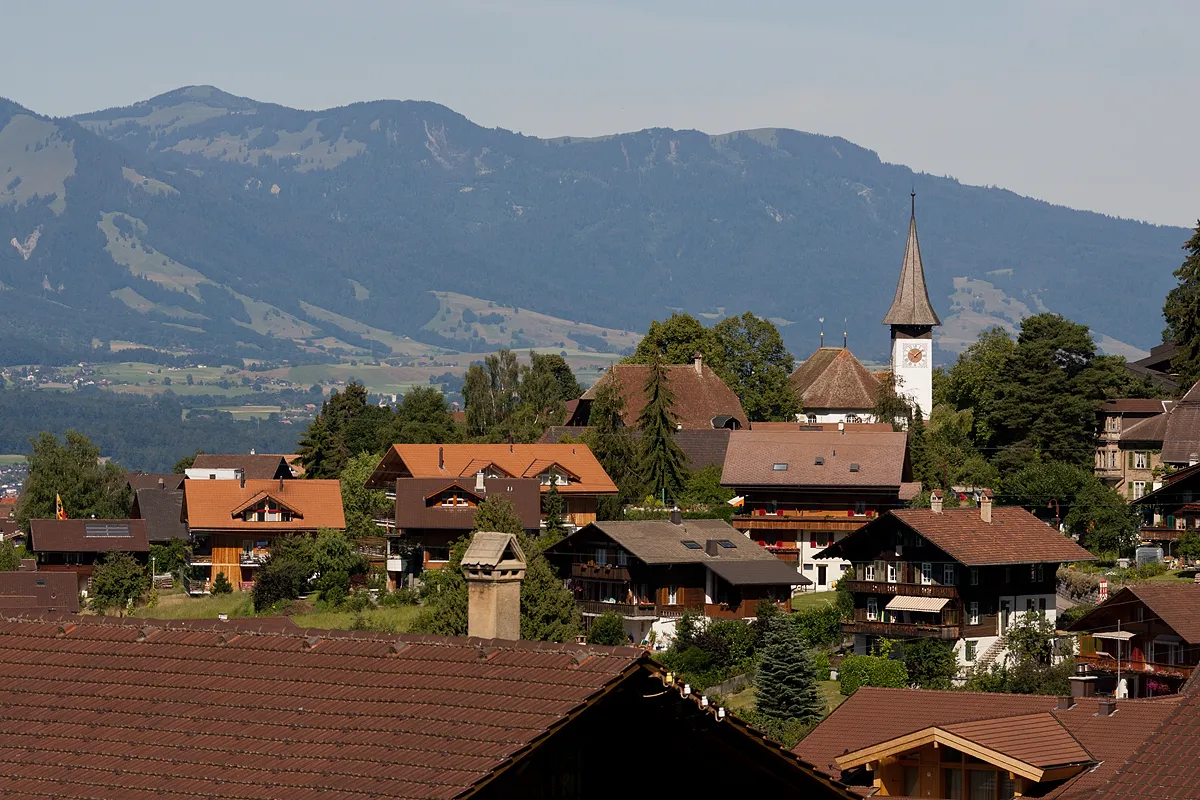
SteffisburgTownSteffisburg, at 18 kilometers, impresses with its historic castle and medieval town center.
34 km
34 km
Aussichtsturm ChuderhüsiViewpointAussichtsturm Chuderhüsi, found at 34 kilometers, rewards cyclists with unmatched 360-degree views of the surrounding landscapes.
43 km
43 km
SignauVillageSignau, located 43 kilometers into the route, invites riders to explore its picturesque town square and charming historic buildings.
63 km
63 km
LangnauVillageLangnau awaits at the 63-kilometer mark, boasting picturesque landscapes and a delightful town center.
64 km
64 km
Chrüzhöchi847 mMountain PassChrüzhöchi, at 64 kilometers, unveils stunning panoramic views of the Espace Mittelland, Alps, and Thun Lake.
74 km
74 km
Guggchnubel1023 mPeakGuggchnubel, found at 74 kilometers, presents a challenging mountain climb and rewards cyclists with unforgettable vistas.
79 km
79 km
MarbachVillageMarbach, located 79 kilometers into the route, mesmerizes with its rolling hills, rural landscapes, and picturesque villages.
94 km
94 km
ErizVillageEriz, at 94 kilometers, showcases a tranquil countryside adorned with Swiss heritage and traditional architecture.
103 km
103 km
Hubel1207 mPeakHubel, at 103 kilometers, offers a peaceful escape into nature and stunning alpine panoramas.
113 km
113 km
SigriswilVillageConclude your challenging ride back in Sigriswil, where you can relax and revel in the accomplishment of conquering both road and mountain terrain.
113 km
113 km
Finish: Sigriswil Village centerSigriswil: Exploring nature on two wheels in Sigriswil.
Cycling routes from Sigriswil:
Cycling routes nearby: