Gravel Adventure to Gänsbrunnen
A gravel cycling route starting from Solothurn
Escape the main roads and discover the beauty of Gänsbrunnen
Map
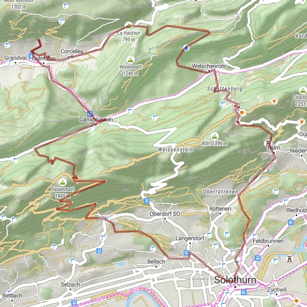
This gravel adventure takes you to Gänsbrunnen, a hidden gem near Solothurn. With a distance of 52km and an ascent of 2120m, this route is perfect for gravel enthusiasts looking for a challenging yet rewarding ride. Highlights include Zeitglockenturm, Gitziflue, La Hauteur, and Balm. Explore diverse terrain, conquer challenging climbs, and soak in the stunning natural beauty along the way.
gravel
52 km
2120 m
Tough
Route profile
Highlights on the route
0 km
0 km
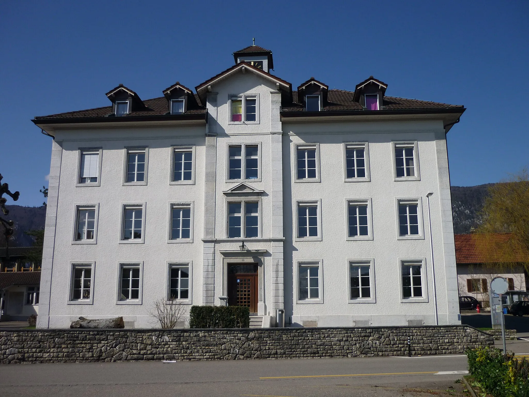
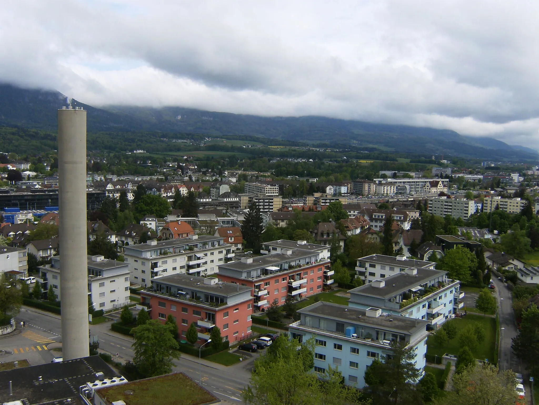
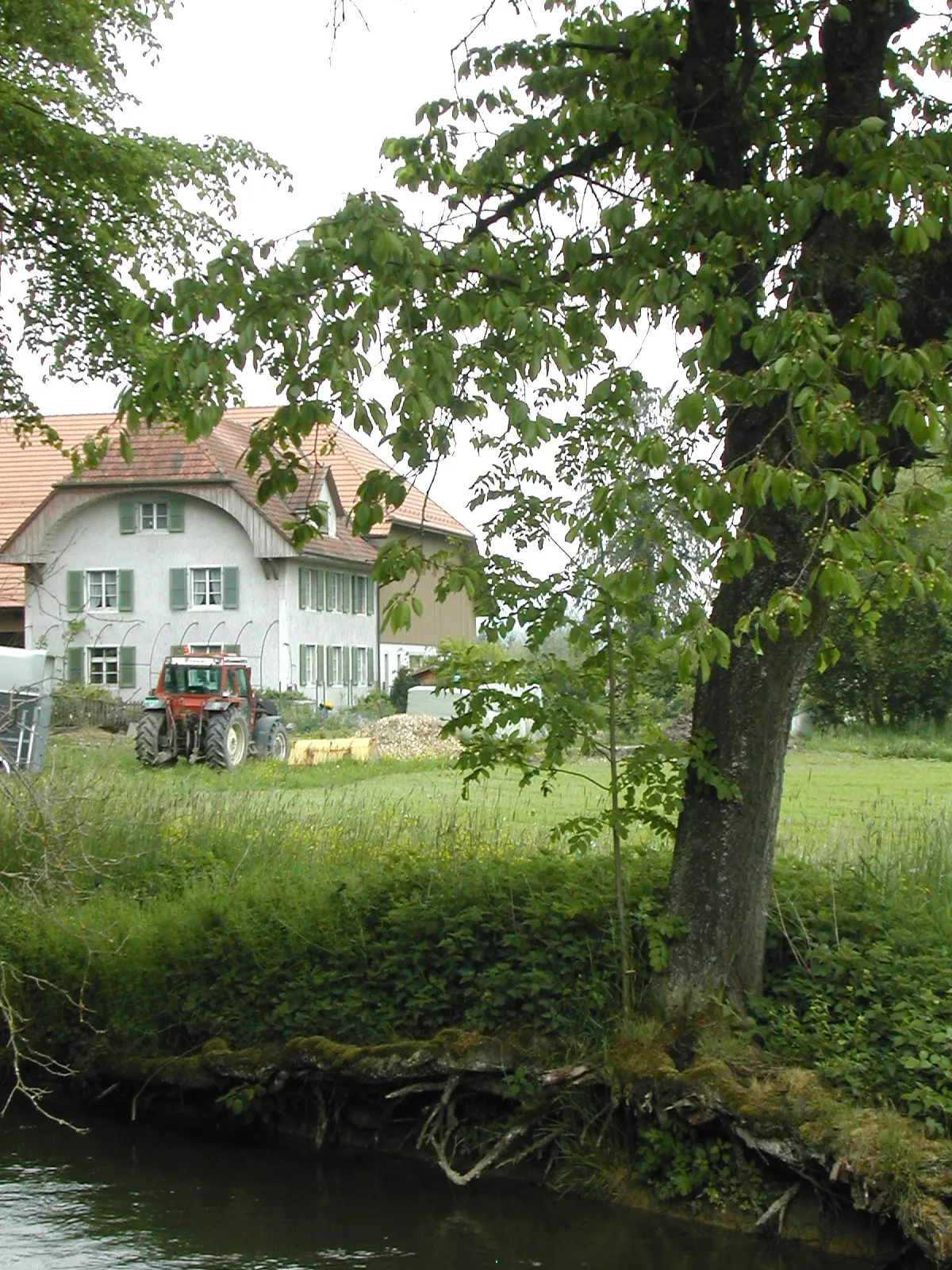
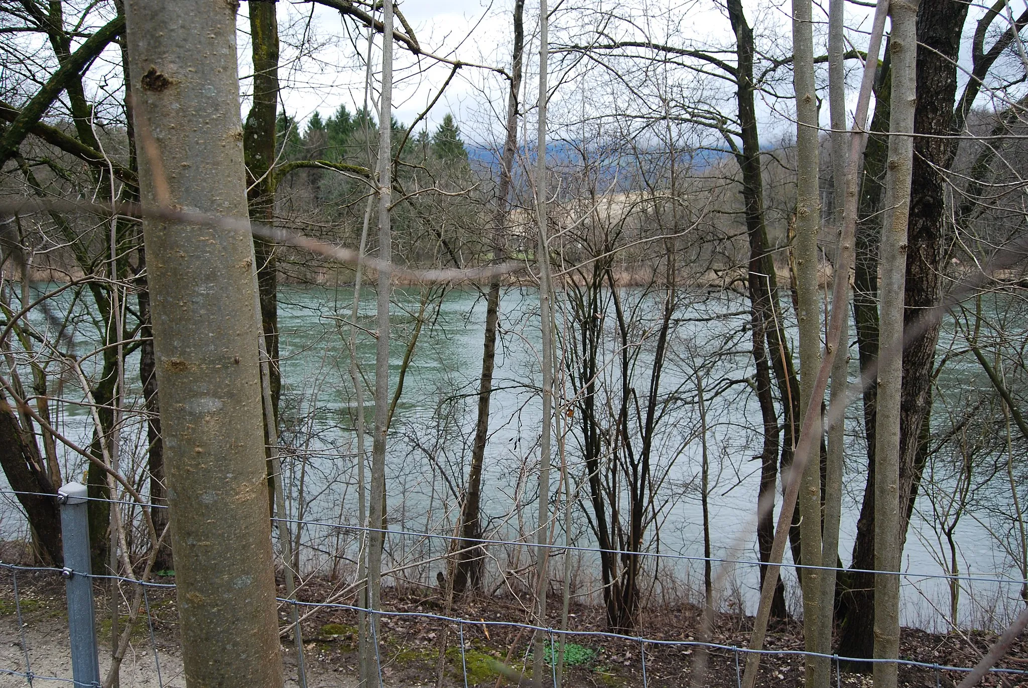
Start: Solothurn City centerSolothurn: Scenic cycling along the Aare River.
Solothurn is a locality situated in the Espace Mittelland region of Switzerland. Cyclists can enjoy a pleasant mix of flat and hilly routes in the area, with picturesque views of the Aare River. The region is known for its excellent cycling infrastructure and well-marked trails. One famous cycling spot nearby is Grenchenberg, a challenging climb that rewards cyclists with stunning vistas. Solothurn is a cyclist-friendly destination, suitable for both road and gravel cycling.0 km
0 km
ZeitglockenturmAttractionVisit the Zeitglockenturm, a historic clock tower in the heart of Solothurn. Learn about its fascinating history and enjoy panoramic views from the top.
13 km
13 km
Gitziflue1329 mPeakConquer Gitziflue, a challenging climb that rewards you with breathtaking views of the surrounding landscapes. Enjoy the sense of accomplishment as you reach the top.
20 km
20 km
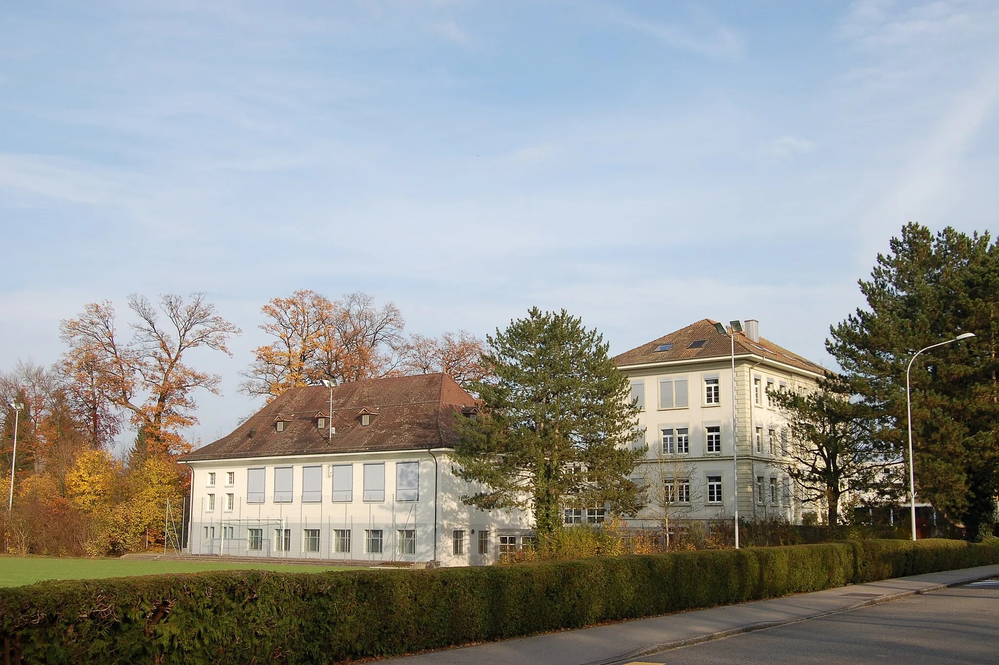
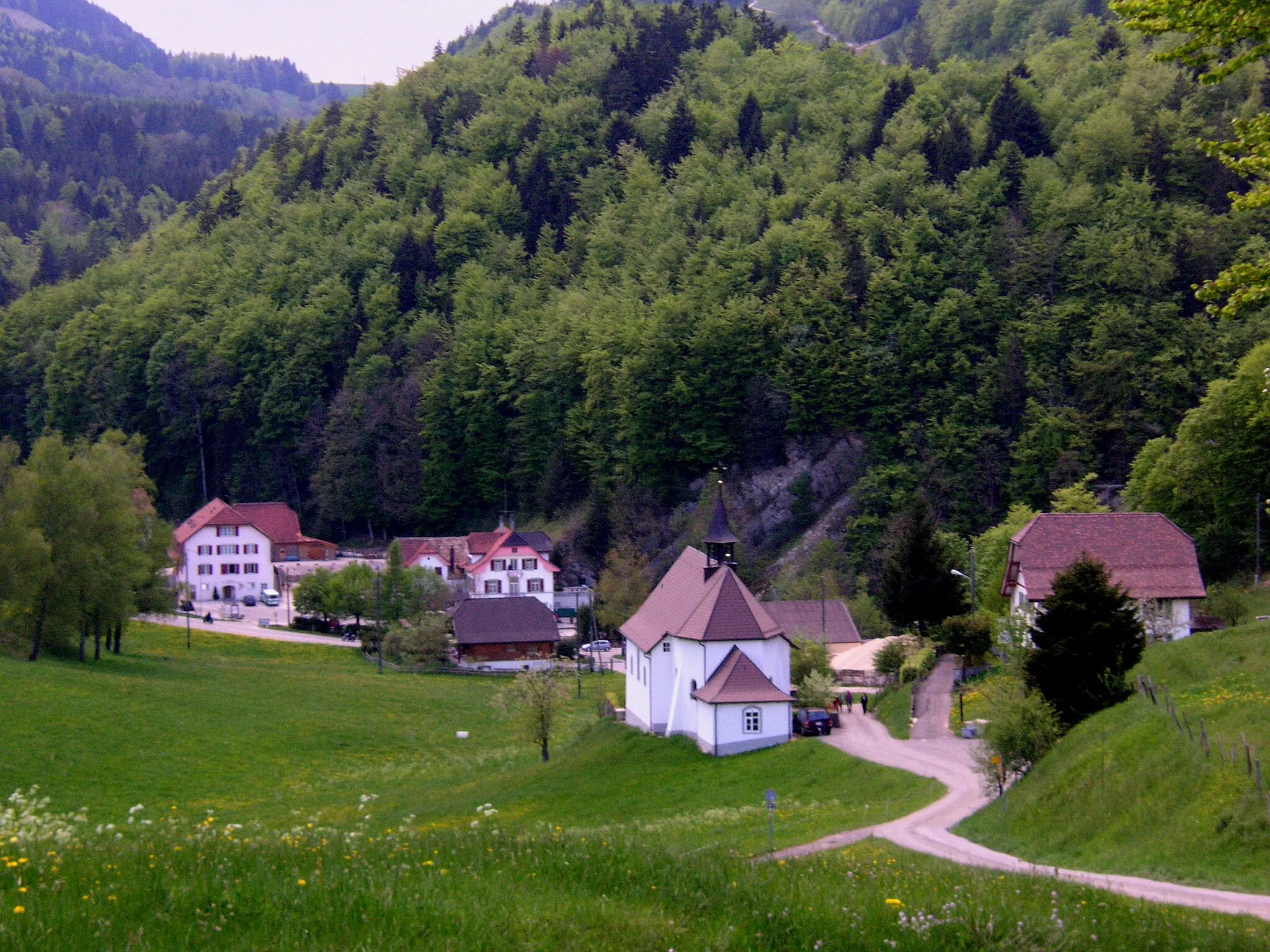
GänsbrunnenVillagePass through Gänsbrunnen, a tranquil village known for its scenic landscapes and traditional Swiss chalets. Take a moment to explore its charming streets and immerse yourself in its peaceful atmosphere.
31 km
31 km
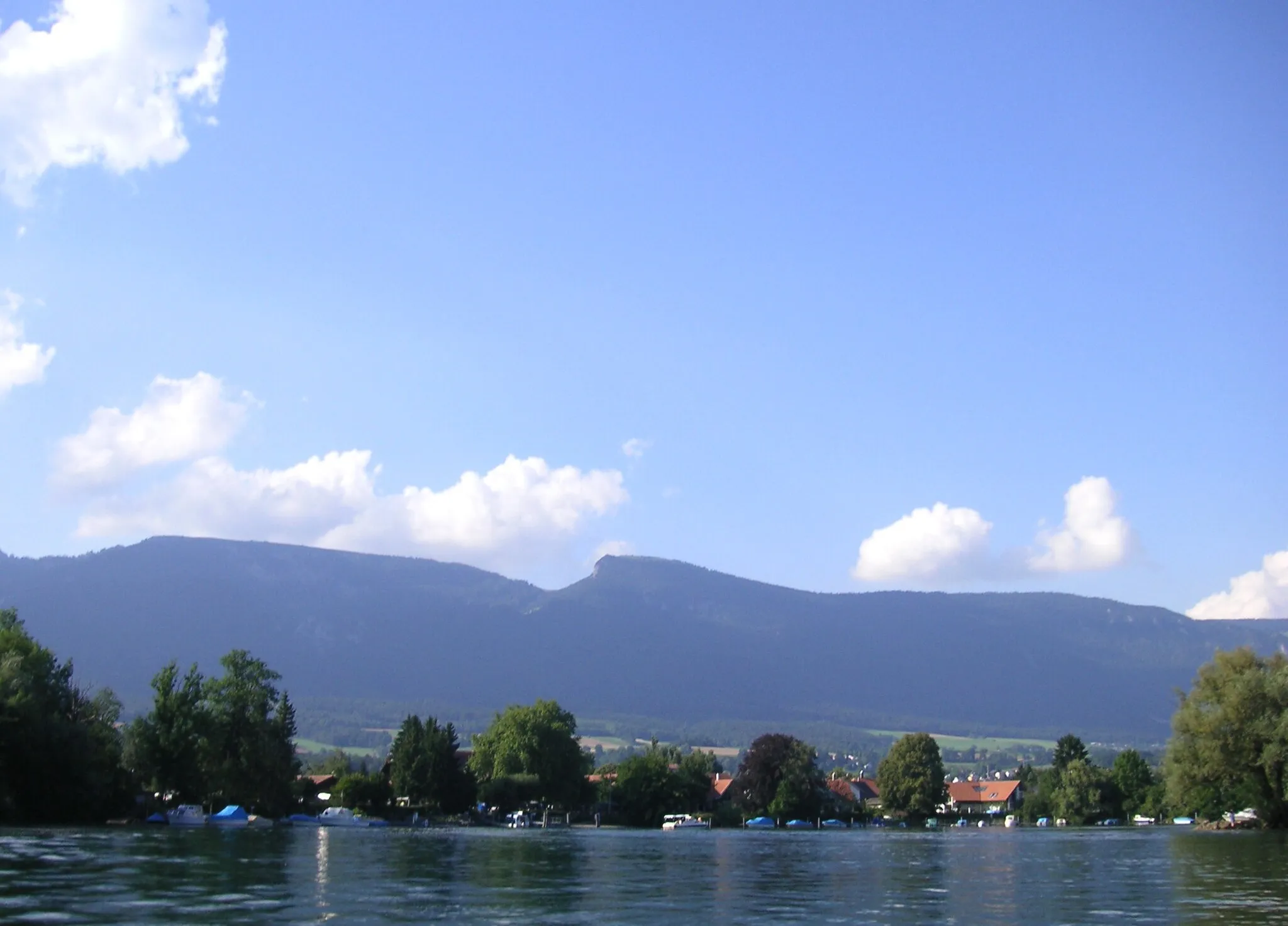
La Hauteur795 mMountain PassCycle through La Hauteur, a picturesque area with rolling hills and expansive views. Revel in the beauty of the Swiss countryside and enjoy the peaceful surroundings.
46 km
46 km
BalmVillageRide through Balm, a small village surrounded by lush greenery. Admire the natural beauty of the area and take in the serene atmosphere.
48 km
48 km
Rehhubel581 mPeakDescend Rehhubel, a thrilling gravel descent that challenges your bike handling skills. Enjoy the adrenaline rush as you navigate the twists and turns of this exhilarating section.
52 km
52 km
Finish: Solothurn City centerSolothurn: Scenic cycling along the Aare River.
Cycling routes from Solothurn:
Cycling routes nearby: