Scenic Road Cycling Expedition
A road cycling route starting from Walkringen
Embark on a scenic road cycling route to Walkringen and immerse yourself in the picturesque Swiss landscapes.
Map
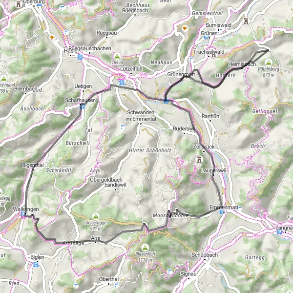
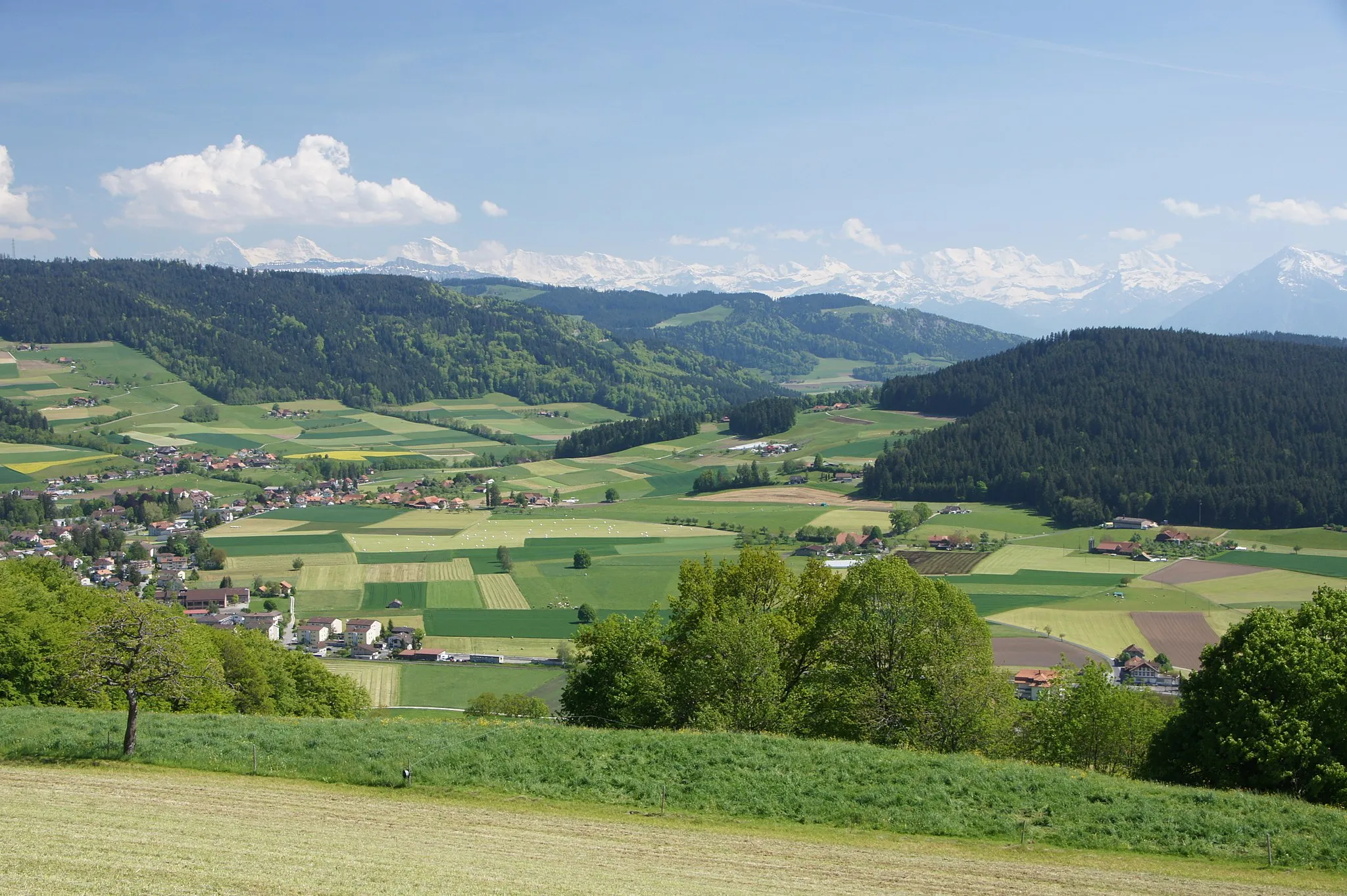
Enjoy a 46-km scenic road cycling adventure through the rolling hills and charming villages en route to Walkringen. This route presents a moderate challenge with an ascent of 807 meters, making it suitable for well-trained amateurs seeking breathtaking views. Highlights along the way include Grünenmatt, a quaint village known for its idyllic Swiss countryside, and the stunning natural beauty of Lauperswil. Conclude your journey after 46 km, as you return to Walkringen to bask in your accomplishment.
road
46 km
807 m
Chill
Route profile
Highlights on the route
0 km
0 km
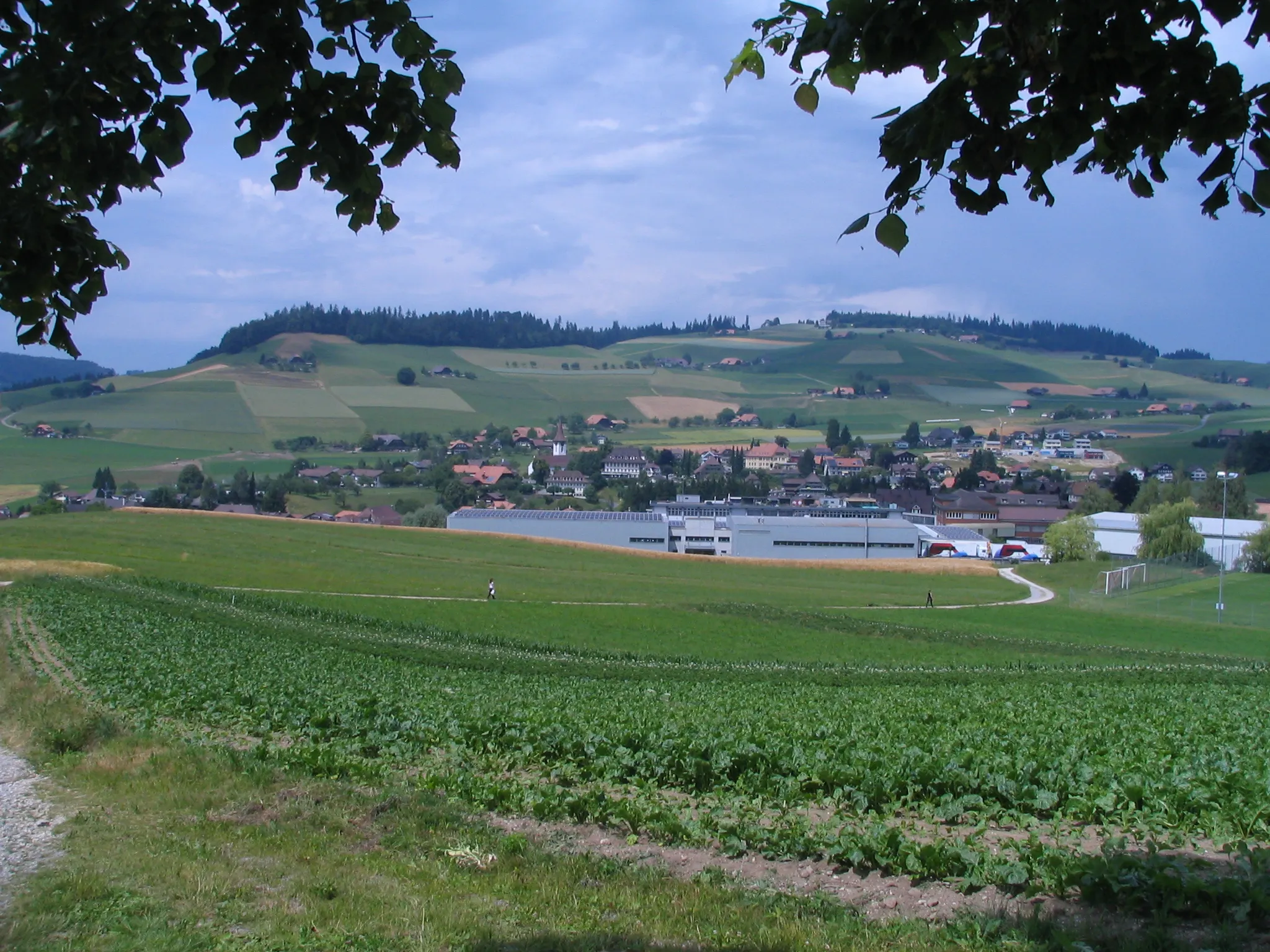
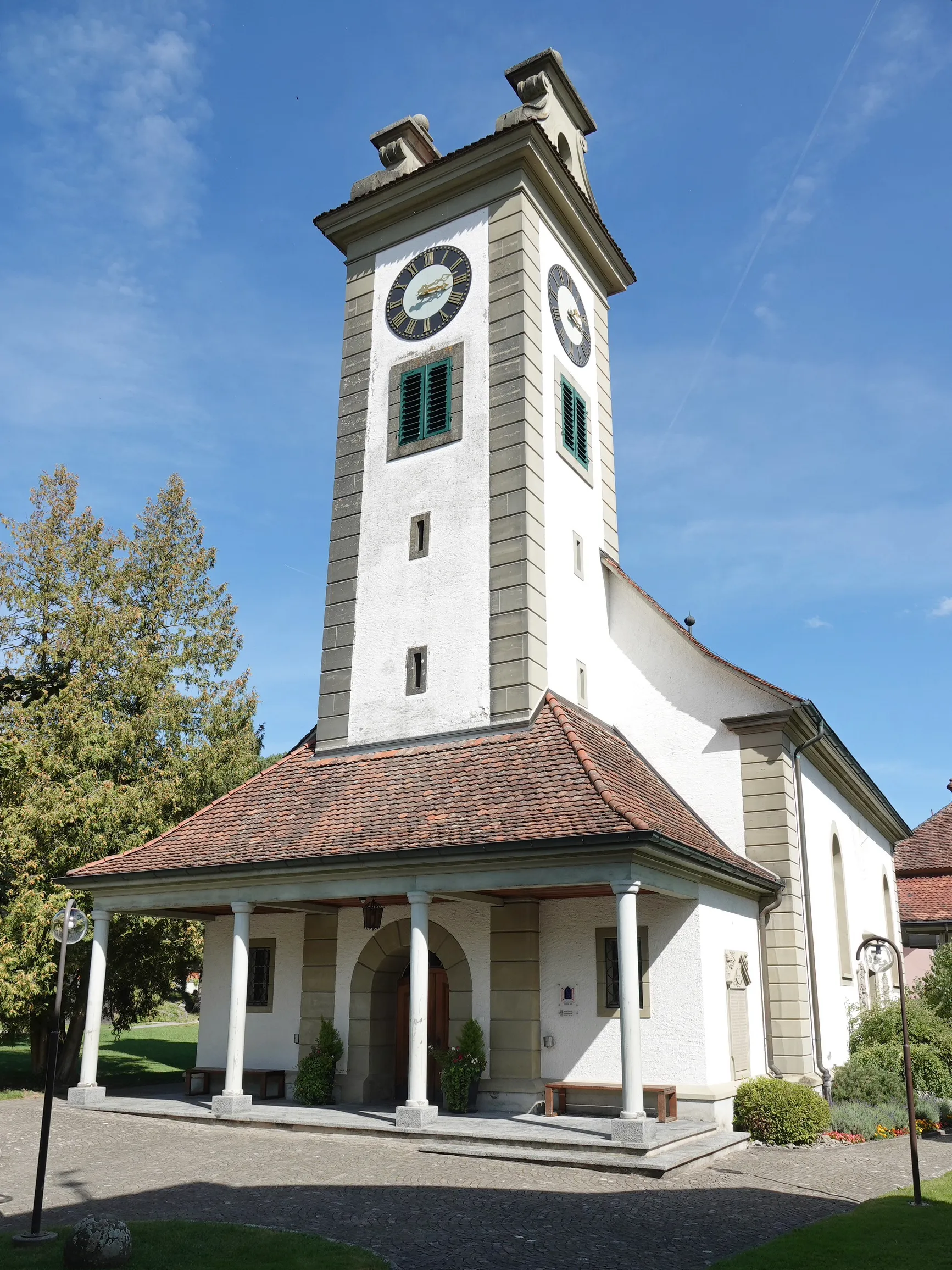
Start: Walkringen Village centerWalkringen: Mountainous Cycling in Espace Mittelland
Walkringen, located in the Espace Mittelland region of Switzerland, provides a spectacular cycling experience for both road and gravel cyclists. The surrounding mountainous terrain offers challenging climbs and thrilling descents, making Walkringen a haven for cycling enthusiasts. The nearby climb of Grosse Scheidegg is a famous spot in the region, known for its stunning scenery and demanding ascent. Overall, Walkringen offers a thrilling and picturesque setting for cyclists seeking an unforgettable ride.12 km
12 km
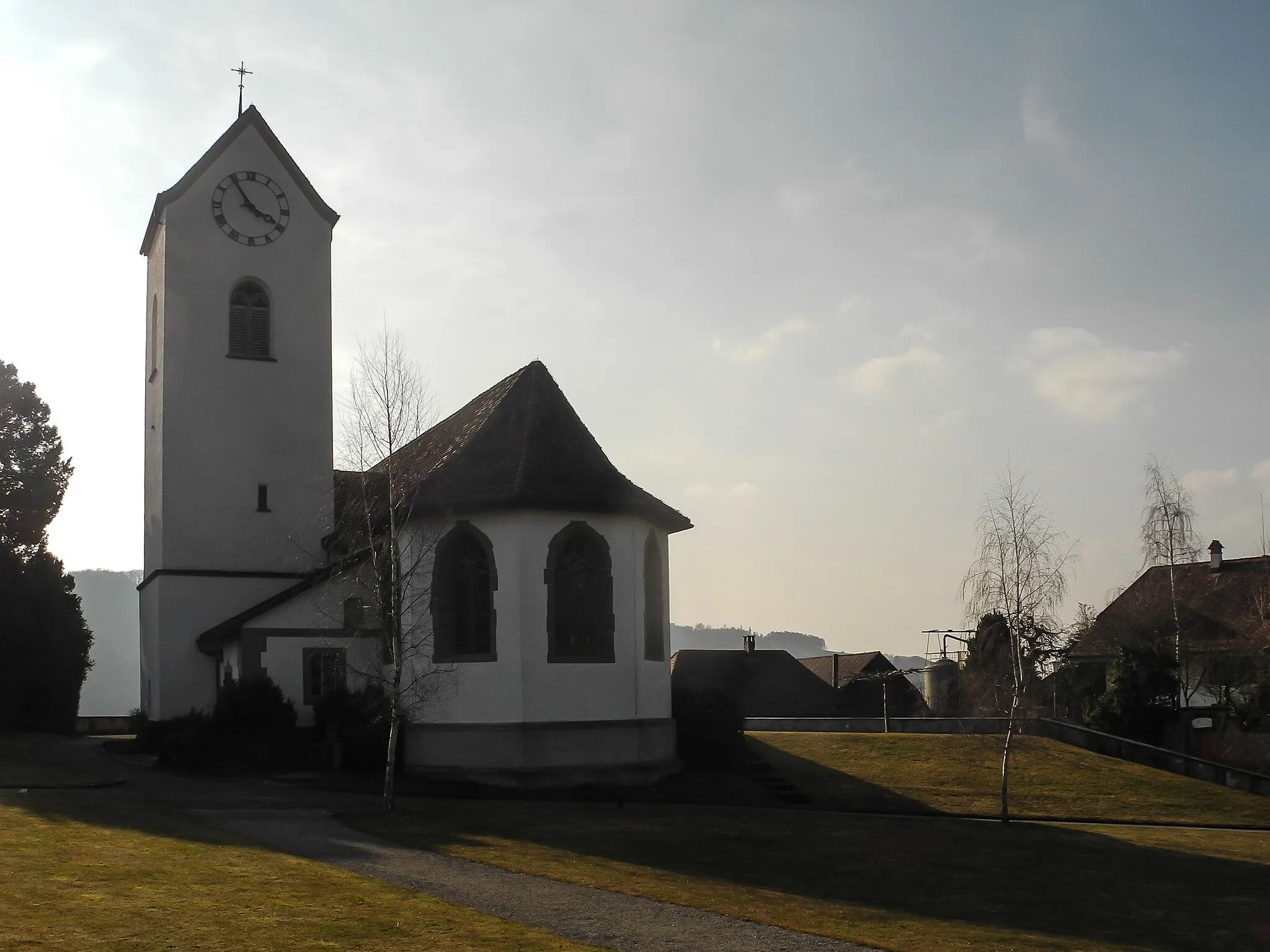
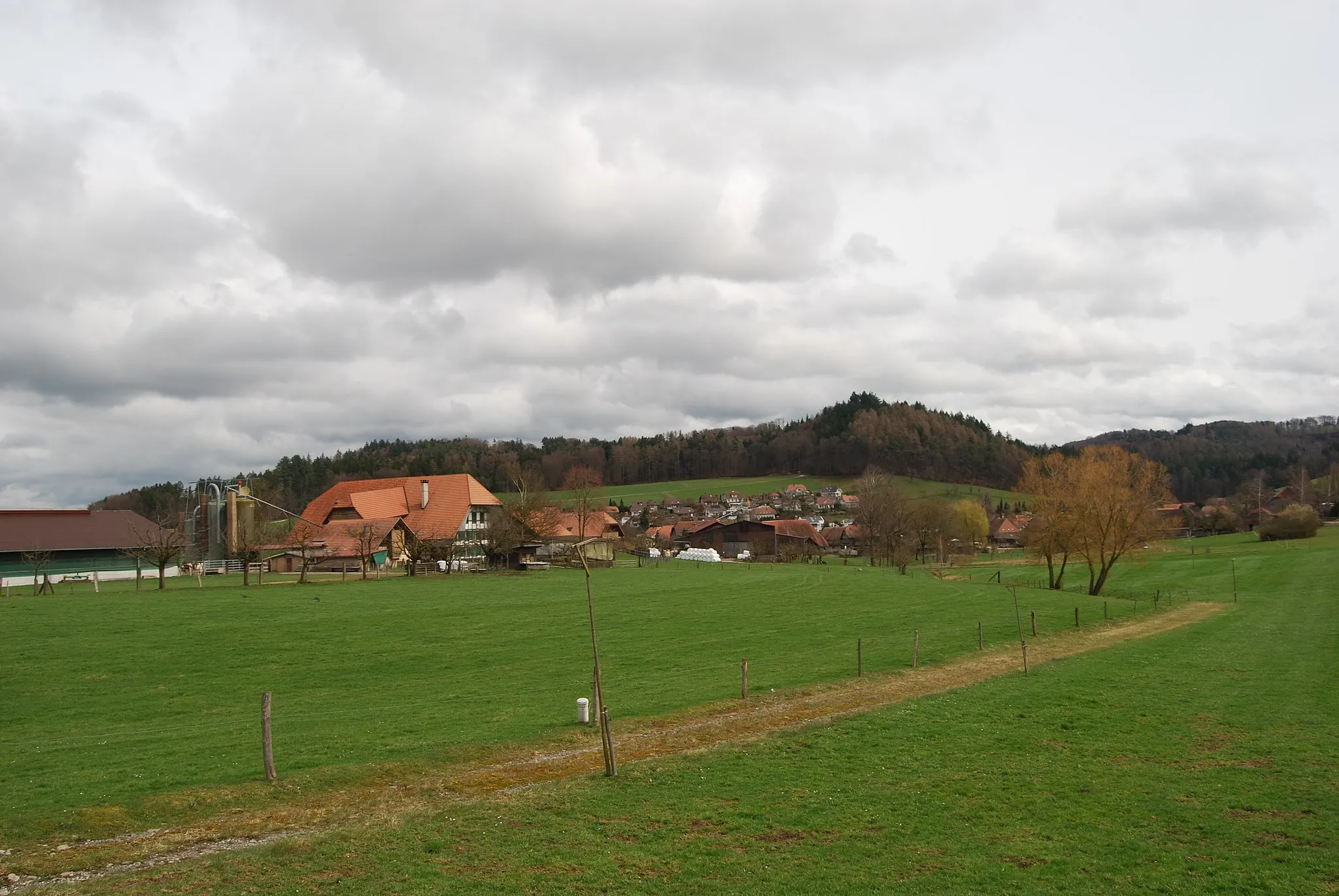
GrünenmattVillageGrünenmatt offers cyclists a glimpse into rural Swiss life, with its traditional wooden houses and charming ambiance.
18 km
18 km
Röthlisberg873 mPeakRöthlisberg boasts magnificent views of the Emmental region, with gentler terrain perfect for cycling.
30 km
30 km
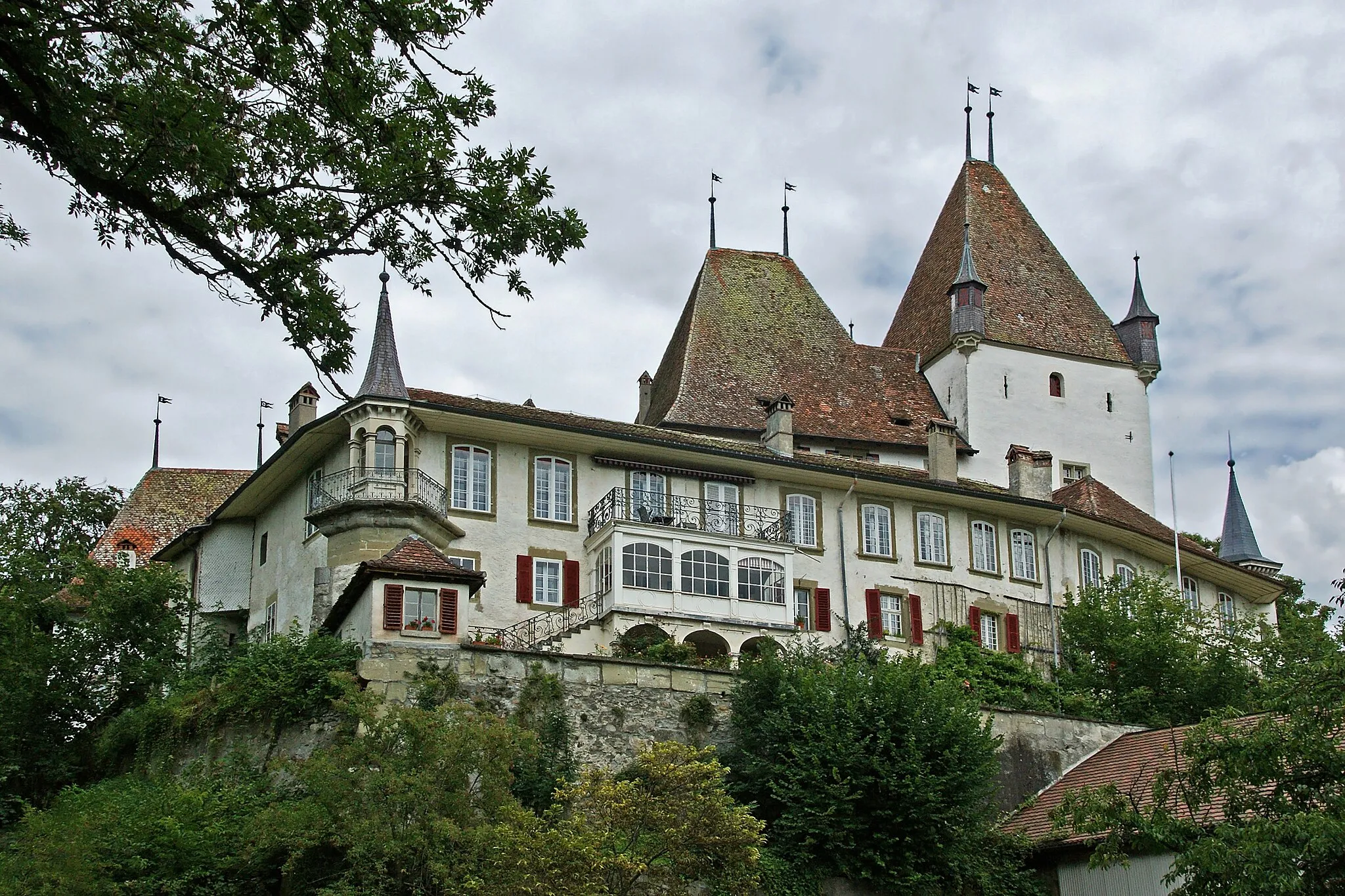
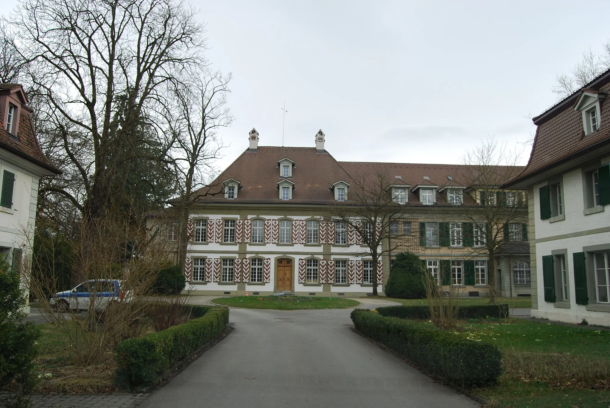
LauperswilVillageLauperswil showcases the picturesque Swiss countryside at its finest, providing a serene and tranquil atmosphere.
44 km
44 km
Adlisberg908 mPeakAdlisberg is famous for its dense forests and challenging cycling trails, surrounded by breathtaking natural beauty.
46 km
46 km
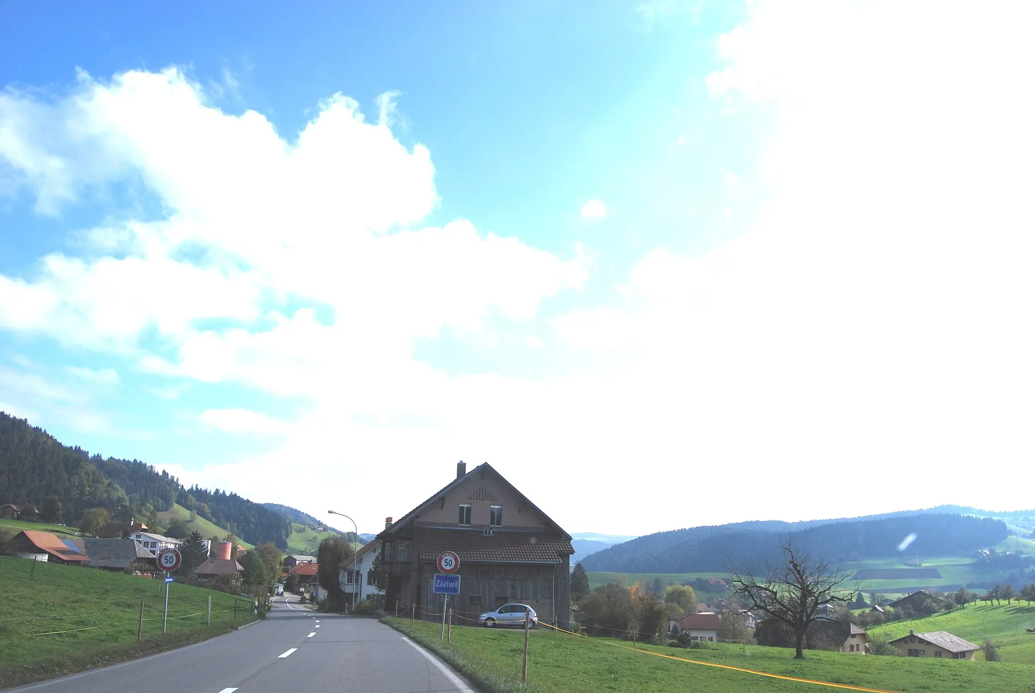
WalkringenVillageWalkringen awaits as your starting and ending point on this delightful road cycling expedition.
46 km
46 km
Finish: Walkringen Village centerWalkringen: Mountainous Cycling in Espace Mittelland
Cycling routes from Walkringen:
Scenic Road Cycling Expedition Cycling Adventure to Walkringen Scenic Road Cycling Route through Walkringen Gravel Adventure to Walkringen Discover Burgdorf Gravel Tour Worb to Bigenthal Gravel Route Road Tour from Walkringen Ultimate Road Cycling Challenge Gravel Discovery to Walkringen Worb to Lüüseberg Gravel Route
Cycling routes nearby: