Belp to Tägertschi road cycling route
A road cycling route starting from Wichtrach
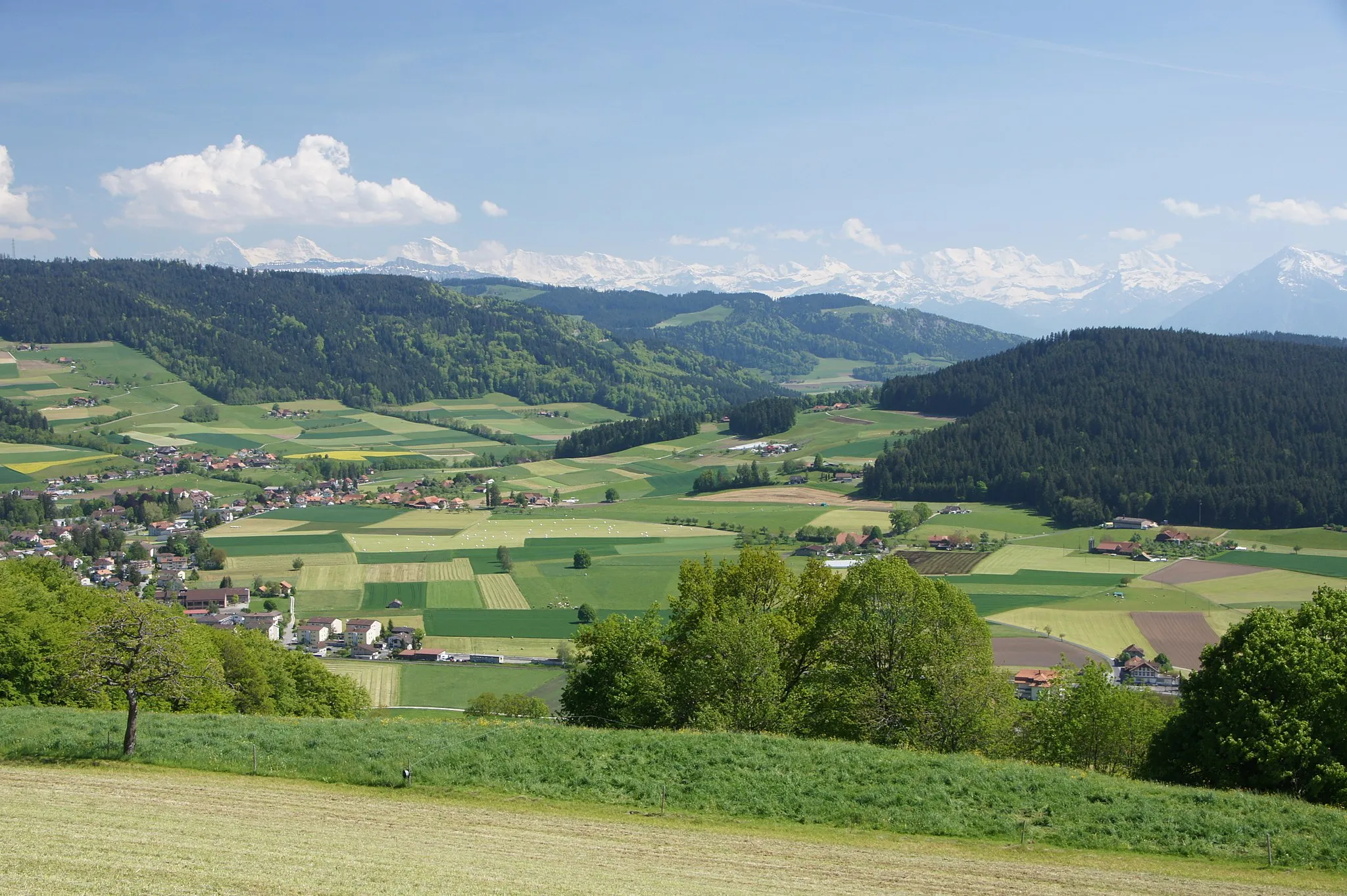
Ride through scenic landscapes from Belp to Tägertschi
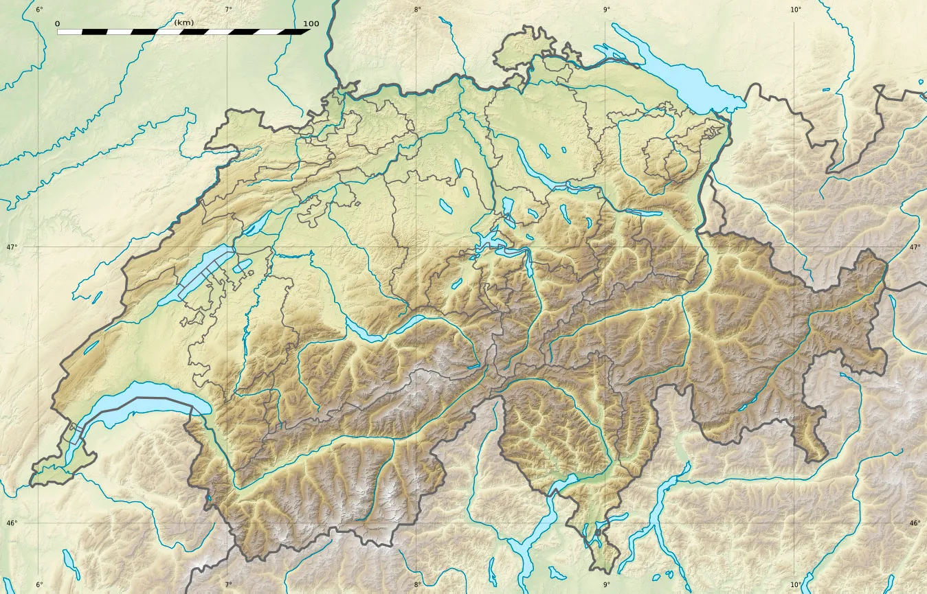
Map
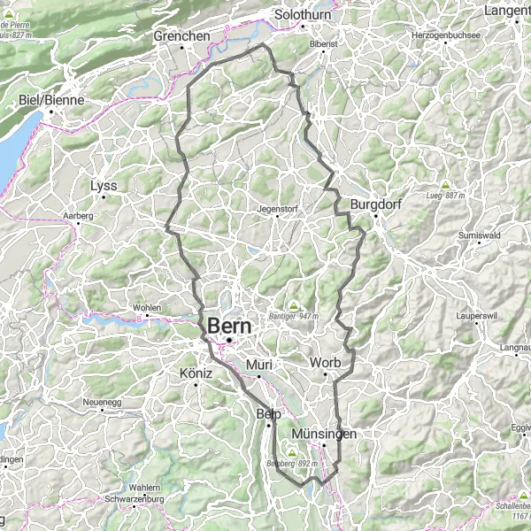
This road cycling route takes you on a journey through picturesque landscapes, starting from Belp and ending in Tägertschi. With a total distance of 110km and an ascent of 1562m, this route provides a good balance of distance and moderate elevation gain. The route showcases stunning highlights such as the Säuhoger, Gschuntnehubel, and Altisberg, offering a mix of challenging terrains and breathtaking viewpoints. Overall, this route is suitable for well-trained amateurs looking for a rewarding cycling experience.
road
110 km
1562 m
Tough
Route profile
Highlights on the route
0 km
0 km
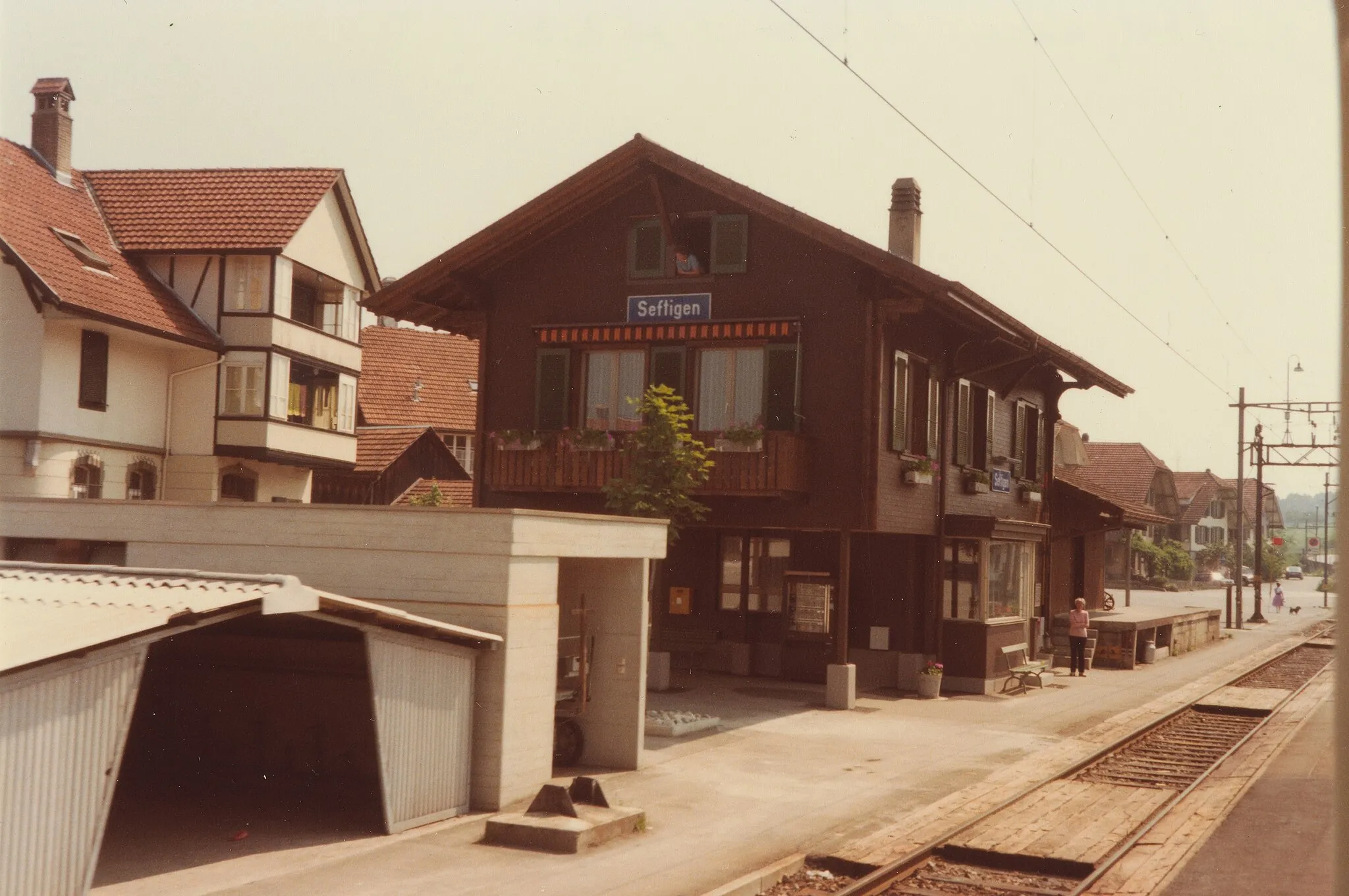
Start: Wichtrach Village centerWichtrach: Cycling paradise in Espace Mittelland, Switzerland
Wichtrach is a locality situated in Espace Mittelland, Switzer land. When it comes to cycling, Wichtrach offers stunning routes through its beautiful countryside. The area is popular among road cyclists for its challenging climbs and rewarding descents. Wichtrach is also surrounded by well-known cycling locations, including the famous Gurnigel Pass. With its diverse range of cycling opportunities and breathtaking landscapes, Wichtrach is a paradise for cyclists looking for a combination of beauty and challenge.12 km
12 km
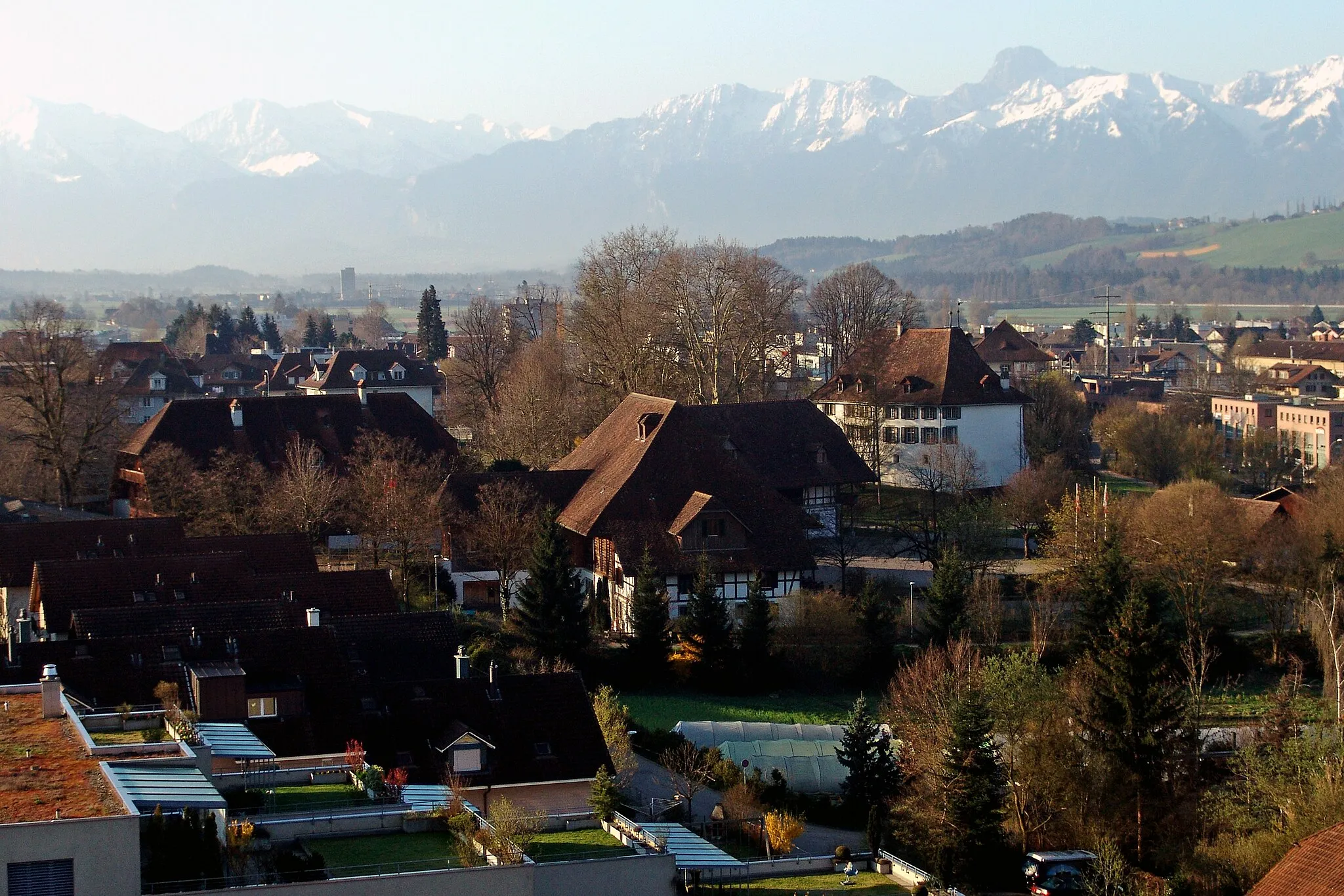
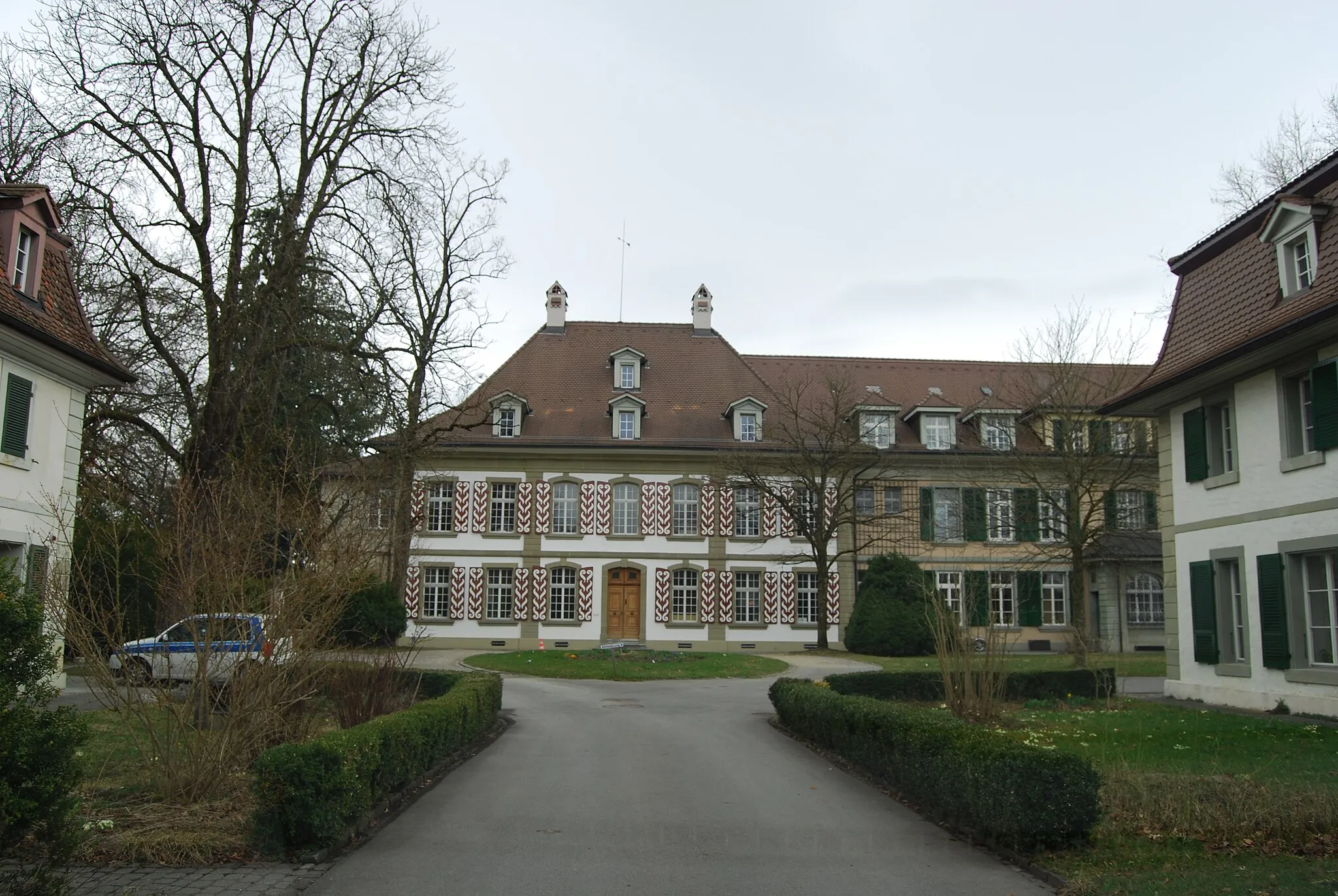
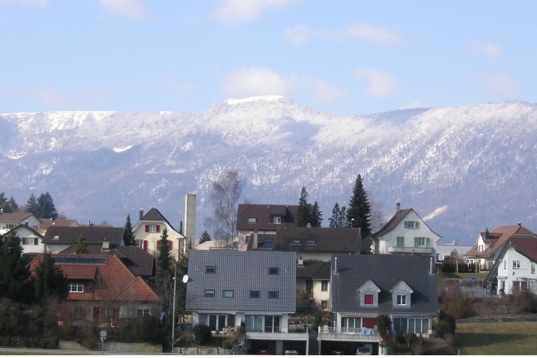
BelpTownExperience the charming town of Belp, known for its beautiful medieval castle.
15 km
15 km
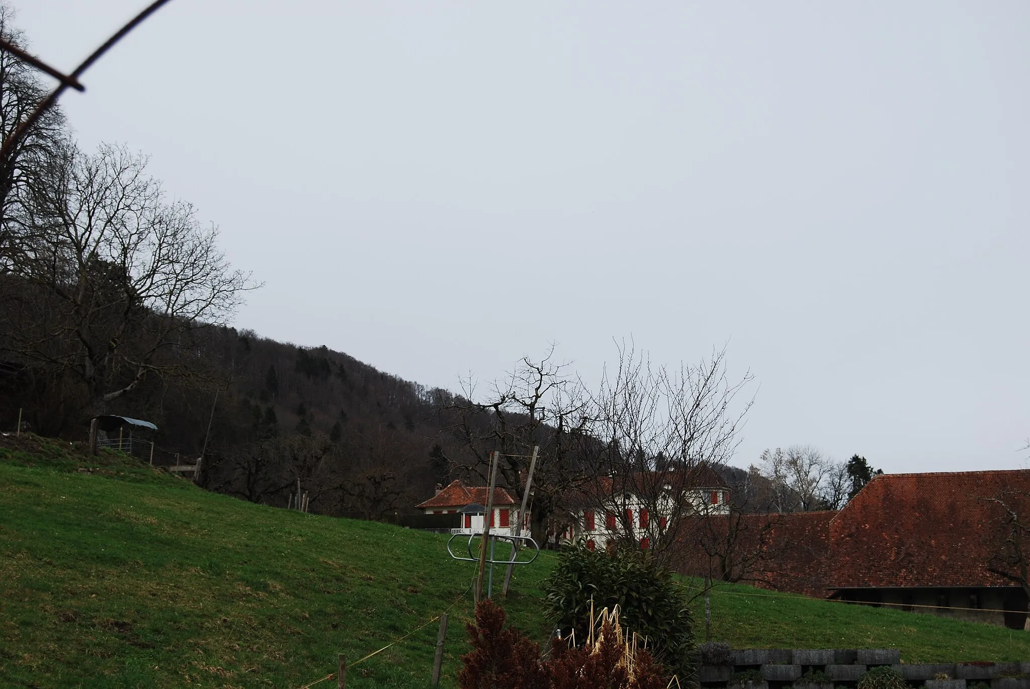
Säuhoger713 mPeakImmerse yourself in the tranquil beauty of Säuhoger, a hill with stunning panoramic views.
24 km
24 km
Gschuntnehubel569 mPeakEnjoy the challenging climb up Gschuntnehubel, which rewards you with breathtaking vistas at its peak.
29 km
29 km
KirchlindachVillagePass through the village of Kirchlindach, known for its historic church and charming streets.
43 km
43 km
Spishubel557 mPeakMarvel at the gorgeous views from Spishubel, a mountain known for its scenic hiking trails.
44 km
44 km
SchnottwilVillageDiscover the charming village of Schnottwil, known for its historic buildings and rural atmosphere.
51 km
51 km
ArchVillageAdmire the architecture of Arch, a small town with beautiful old houses and cobblestone streets.
63 km
63 km
Altisberg501 mPeakClimb Altisberg, a challenging hill that offers stunning views over the surrounding countryside.
72 km
72 km
AefligenVillagePass through the charming village of Aefligen, known for its traditional Swiss houses and picturesque setting.
87 km
87 km
Steichnubel750 mPeakExplore the scenic Steichnubel, a hill with panoramic views and tranquil nature.
95 km
95 km
Lüüseberg923 mPeakEnjoy the beauty of Lüüseberg, a hill with lush greenery and stunning vistas.
105 km
105 km
TägertschiVillageEnd your journey in Tägertschi, a quaint village surrounded by rolling hills and picturesque landscapes.
110 km
110 km
Finish: Wichtrach Village centerWichtrach: Cycling paradise in Espace Mittelland, Switzerland
Cycling routes from Wichtrach:
Panoramic Views of Niedermuhlern and Münsingen Belp to Tägertschi road cycling route Glimpses of Tägertschi and Chuderhüsi Spitze Chnubel to Fuchsegg road cycling route Tägertschi to Oberdiessbach gravel cycling route Spectacular Ride through Gschuntnehubel and Derendingen Scenic Cycle through Konolfingen and Langnau Oberdiessbach to Brenzikofen gravel cycling route Off-Road Adventure through Walkringen and Herbligen Muri to Schloss Münsingen gravel cycling route
Cycling routes nearby: