Road Cycling Expedition to Konolfingen and Gro ß höchstetten
A road cycling route starting from Zaziwil
Embark on a breathtaking road cycling expedition through charming towns and scenic landscapes
Map
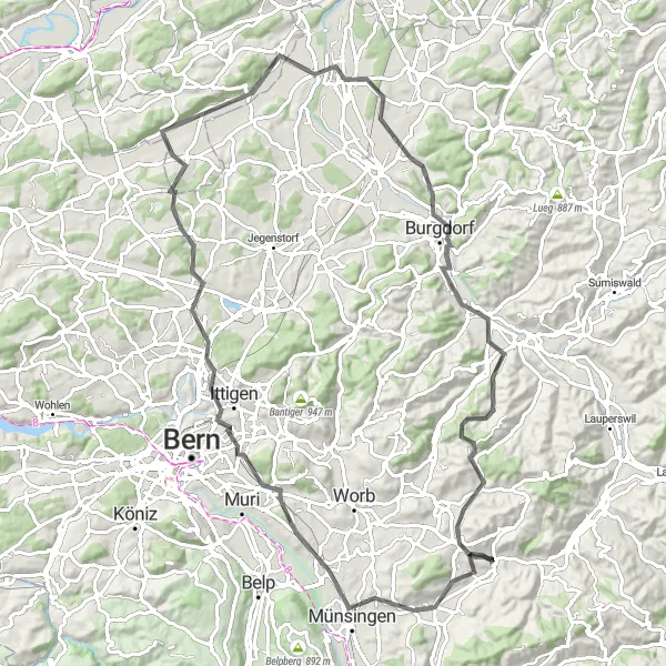
Discover the beauty of Espace Mittelland on this 90 km road cycling route starting near Zäziwil. Ride through Konolfingen, Ballenbühl, Ostermundigeberg, Münchenbuchsee, Hubel, Utzenstorf, Längeberg, Hasle, and finish in Grosshöchstetten. With an ascent of 1054m, this route is suitable for well-trained amateur cyclists looking for a challenging expedition. The difficulty is rated as 4 out of 5, while the epicness score is 4 as well.
road
90 km
1054 m
Tough
Route profile
Highlights on the route
0 km
0 km
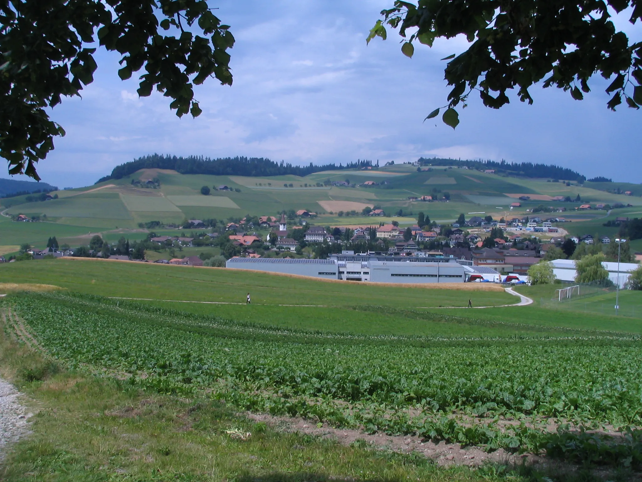
Start: Zäziwil Village centerZäziwil: Excellent cycling opportunities with famous climbs and picturesque countryside.
Zäziwil is a locality in Espace Mittelland, Switzerland. From a cyclist's perspective, Zäziwil offers excellent road and gravel cycling opportunities. The region is characterized by scenic landscapes and challenging mountain roads. One famous cycling spot near Zäziwil is the Gurnigel Pass, known for its demanding climb and breathtaking views. Additionally, the Emmental region offers picturesque countryside routes for leisurely rides. In summary, Zäziwil is a must-visit location for road and gravel cyclists seeking challenging climbs and stunning natural beauty.5 km
5 km
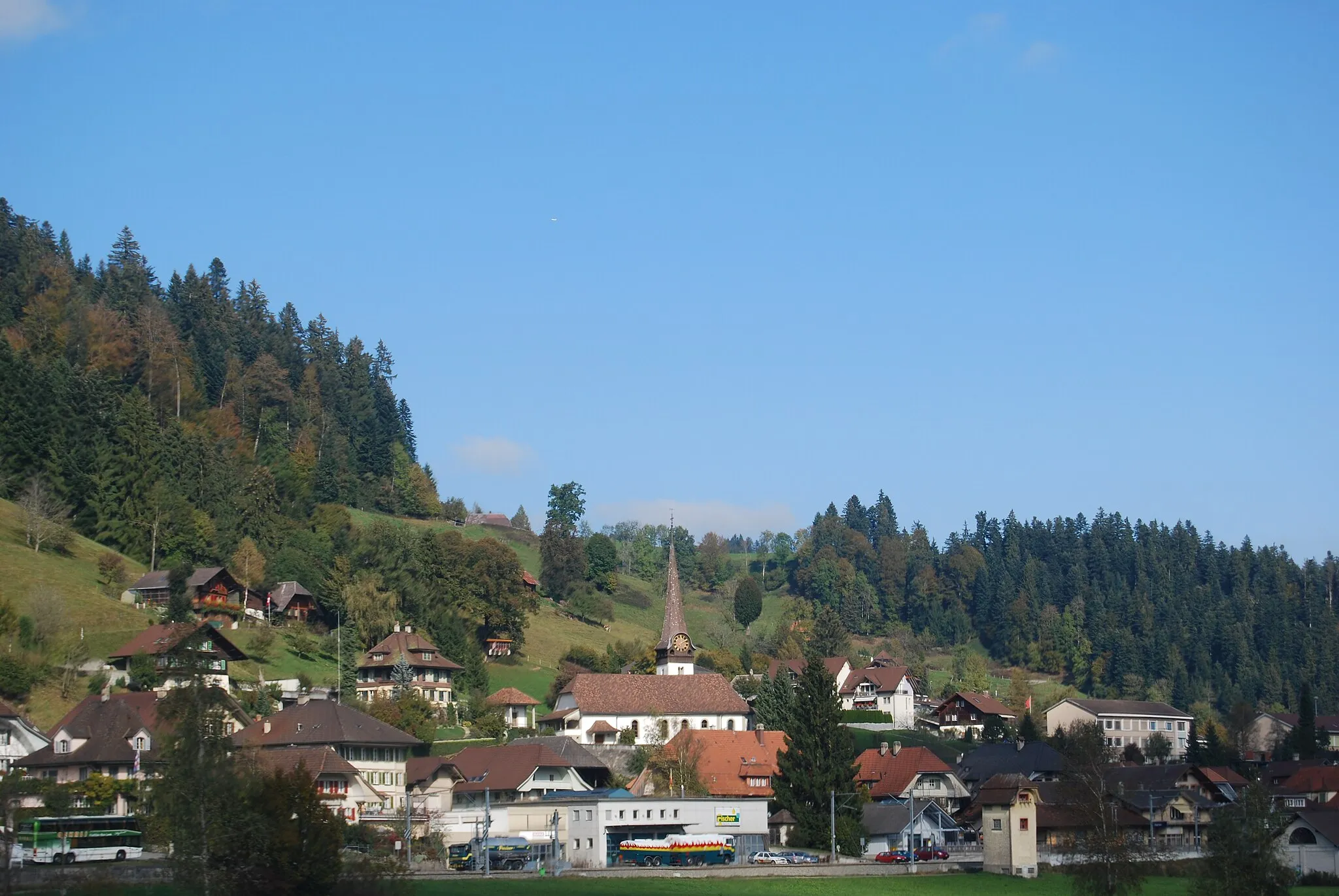
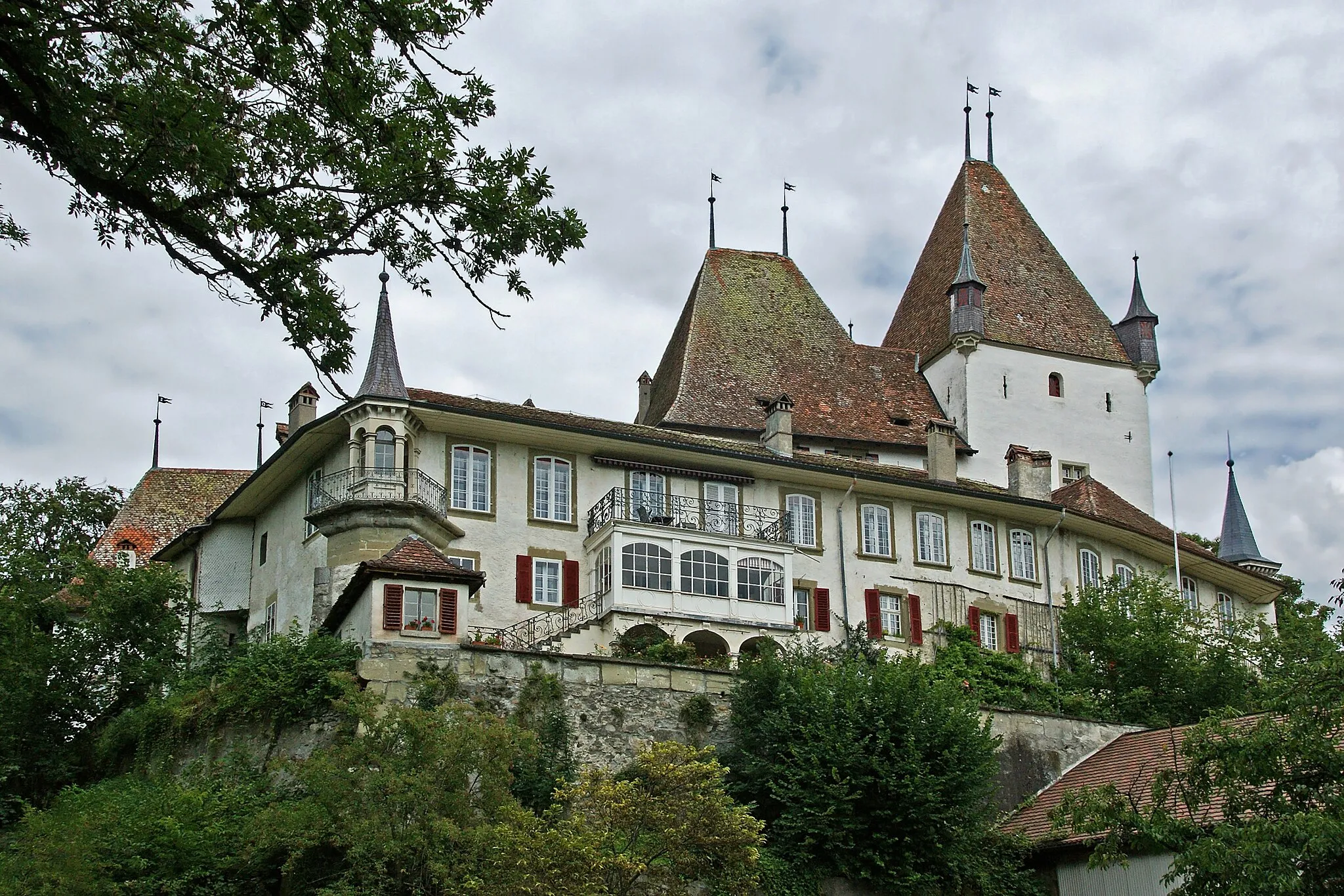
KonolfingenVillageKonolfingen offers a charming town center with historic buildings and a relaxed atmosphere.
7 km
7 km
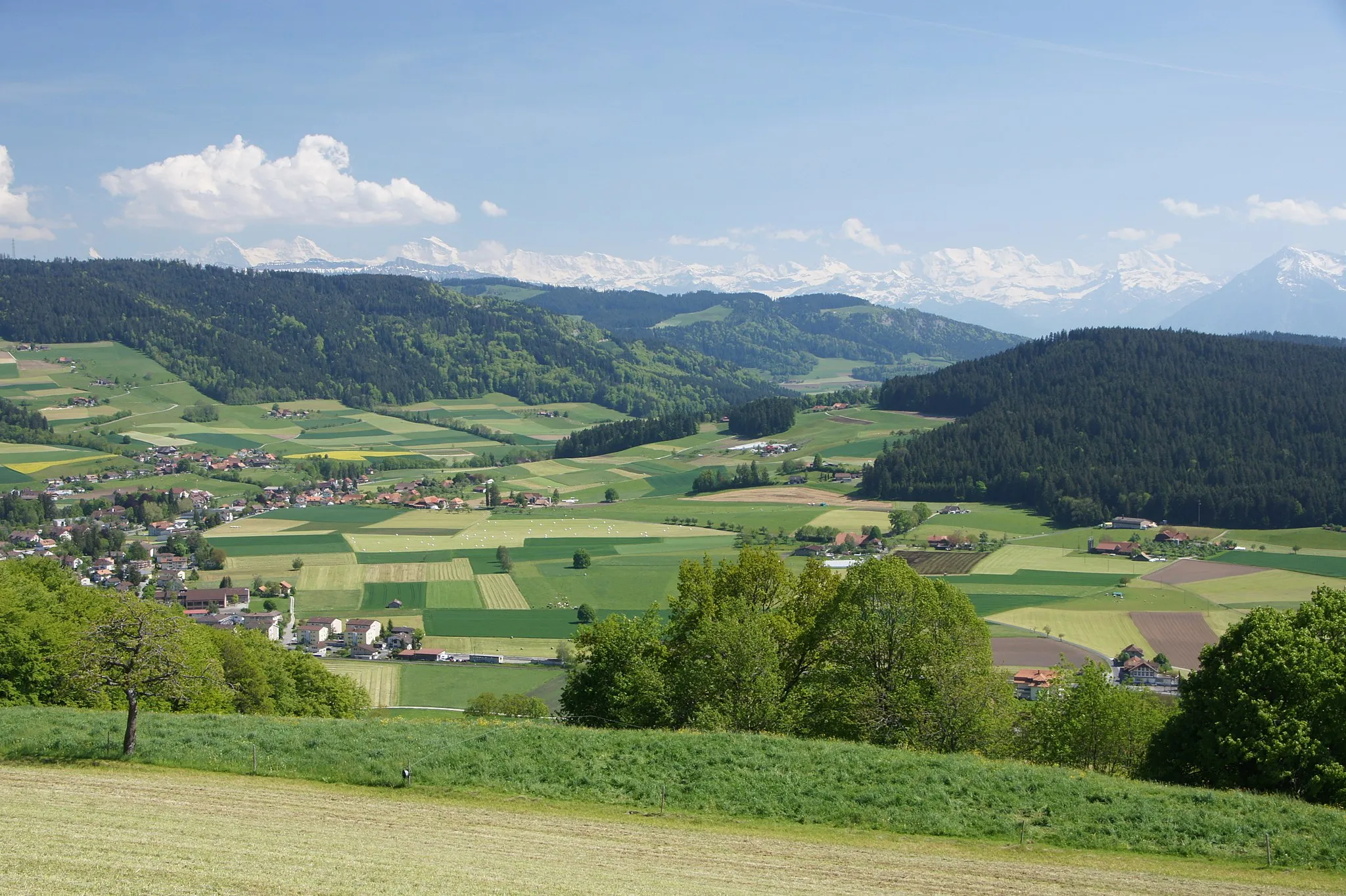
BallenbühlViewpointBallenbühl rewards cyclists with stunning views of rolling hills and a peaceful countryside ambiance.
20 km
20 km
Ostermundigeberg732 mPeakOstermundigeberg provides panoramic views over Bern and the surrounding region.
31 km
31 km
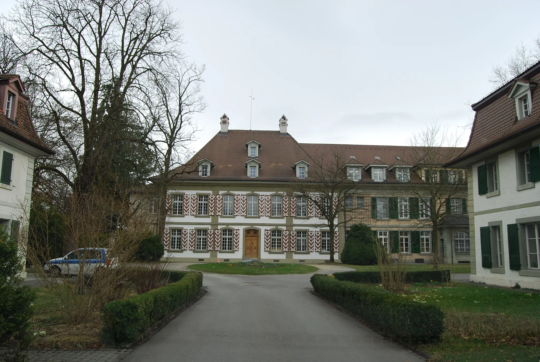
MünchenbuchseeVillageIn Münchenbuchsee, you can explore its quaint old town with picturesque historic houses.
43 km
43 km
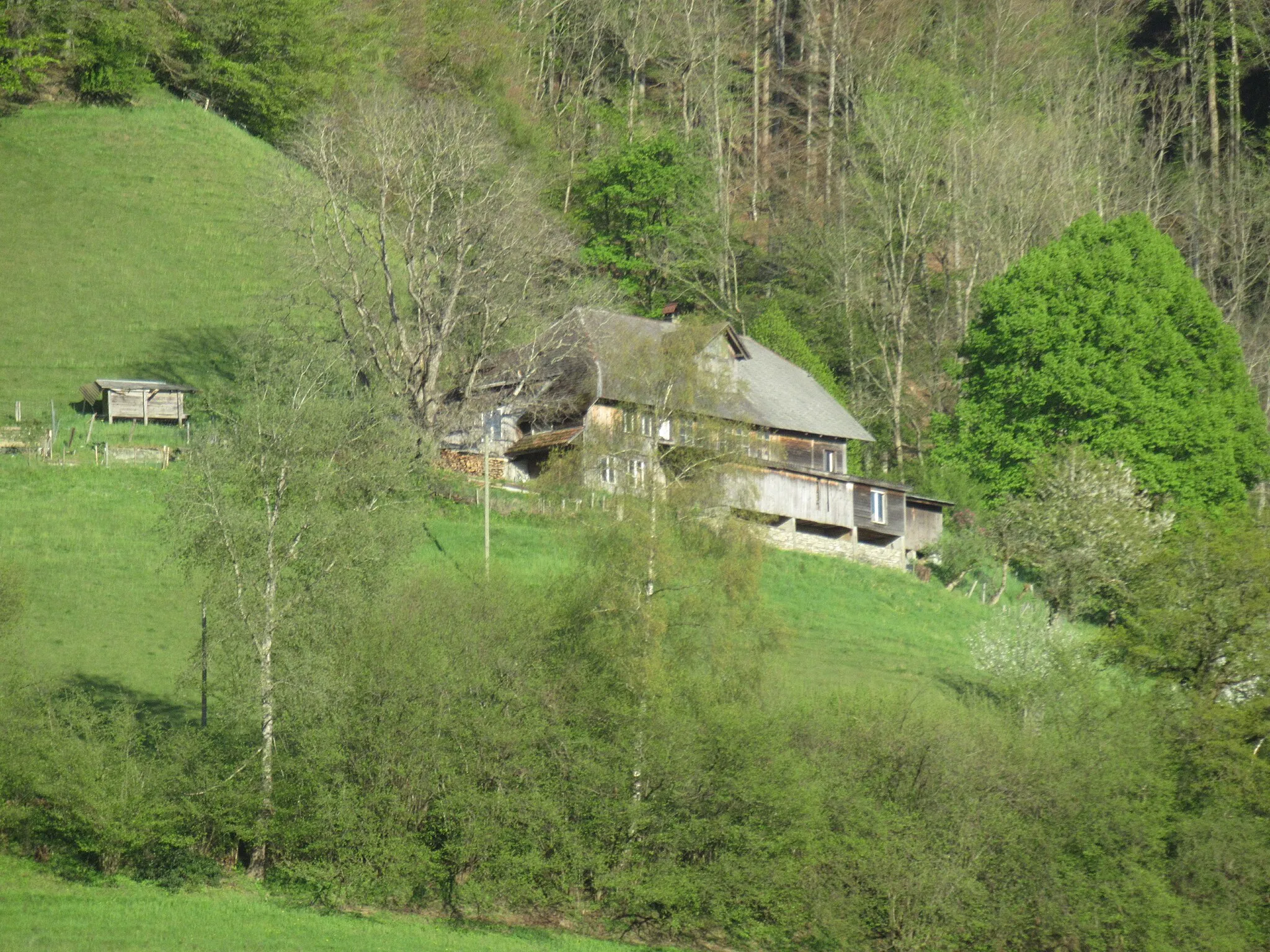
Hubel653 mPeakHubel is a small village perched atop a hill, offering a scenic lookout point over the surrounding countryside and expansion.
54 km
54 km
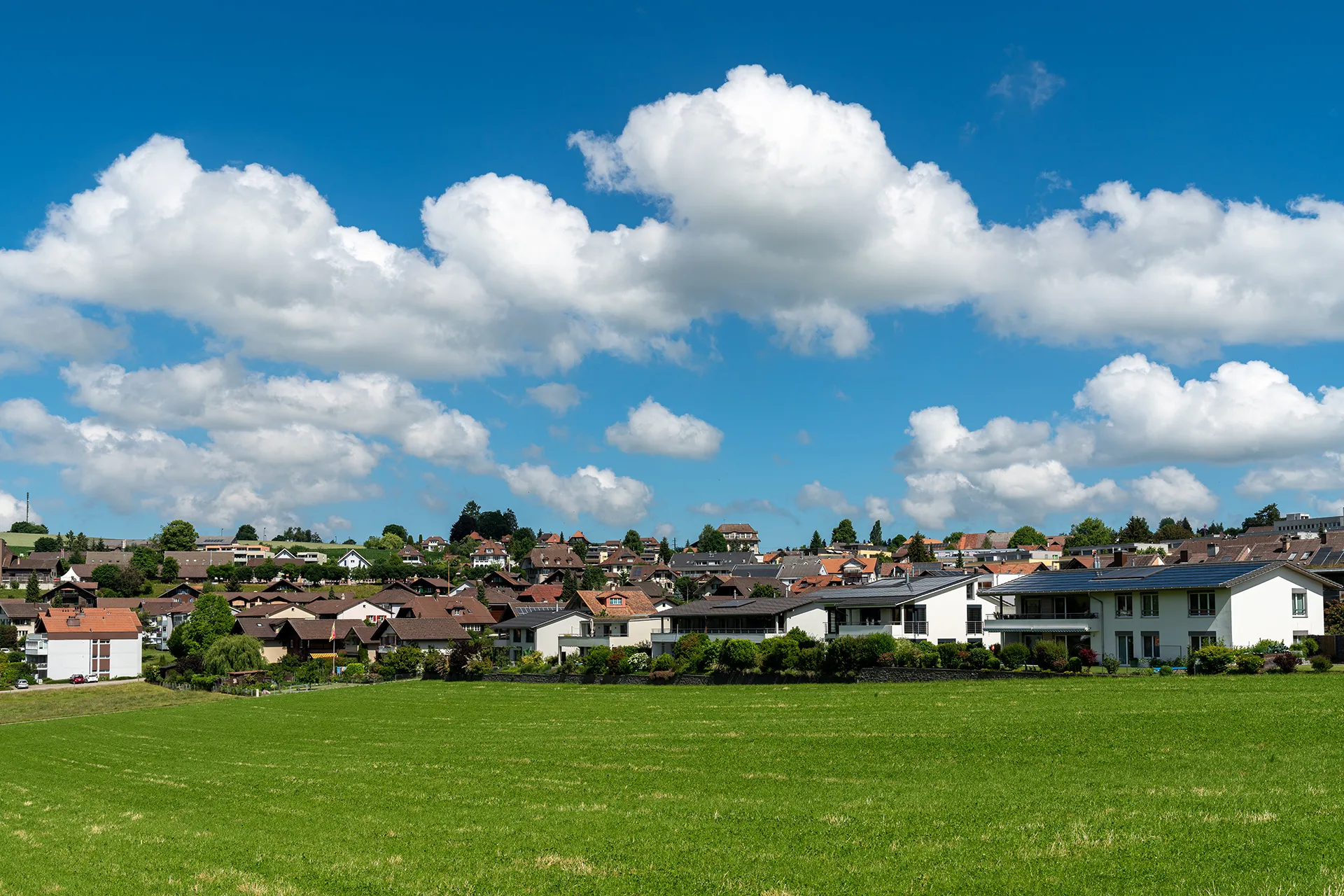
UtzenstorfVillageUtzenstorf invites cyclists to explore its charming streets and gardens, showcasing the allure of typical Swiss villages.
62 km
62 km
Längeberg596 mPeakLängeberg lures visitors with its tranquil rural setting and stunning views of the bucolic landscapes.
72 km
72 km
HasleVillageHasle offers a cycling rest spot with panoramic vistas of the majestic Swiss mountains.
88 km
88 km
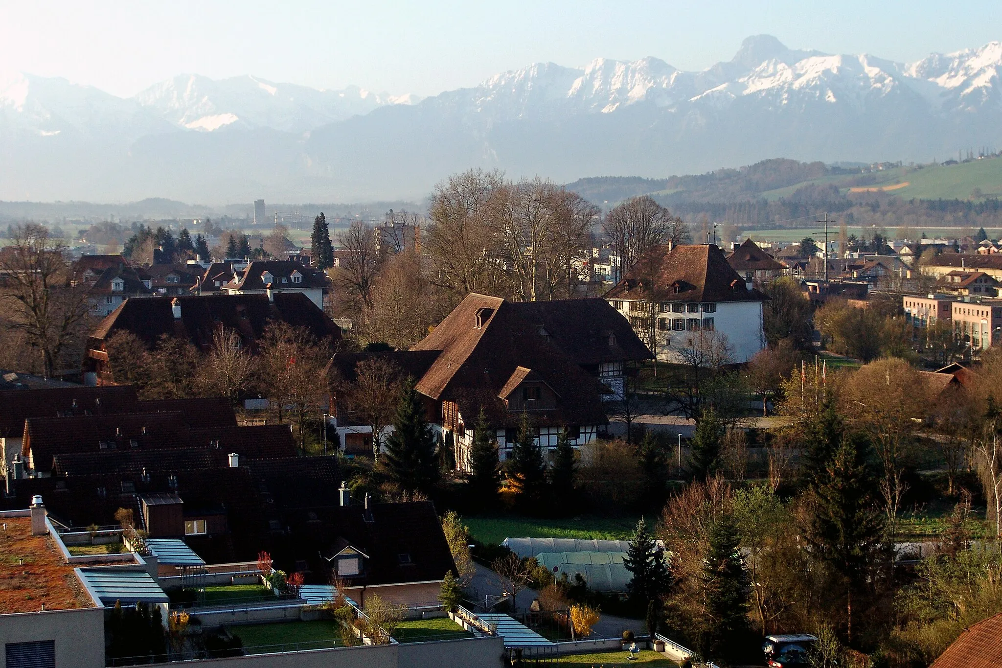
GrosshöchstettenVillageFinish your expedition in the picturesque town of Grosshöchstetten, known for its charming historic buildings and idyllic surroundings.
90 km
90 km
Finish: Zäziwil Village centerZäziwil: Excellent cycling opportunities with famous climbs and picturesque countryside.
Cycling routes from Zaziwil:
Scenic Gravel Ride through Konolfingen, Kiesen, and more Challenging Gravel Adventure to Spitze Chnubel and Leenhubel Challenging Road Cycling Feast through Chnubel, Ieschberg, and Blasenfluh Discover the Emmental Exploring Längenbühl, Goldegg, and More on a Gravel Adventure Around Rubigen Röthenbach Adventure Road Cycling Expedition to Konolfingen and Gro ß höchstetten The Worb Adventure Bern Loop Blasenfluh and Rüderswil Loop
Cycling routes nearby: