Aarau - Hidden Gravel Gems
A gravel cycling route starting from Aarau
Unearth the hidden gravel gems on this exciting cycling route starting near Aarau.
Map
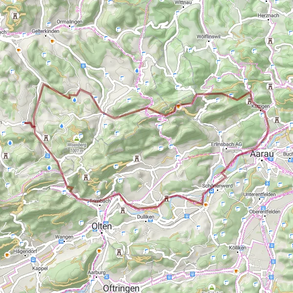
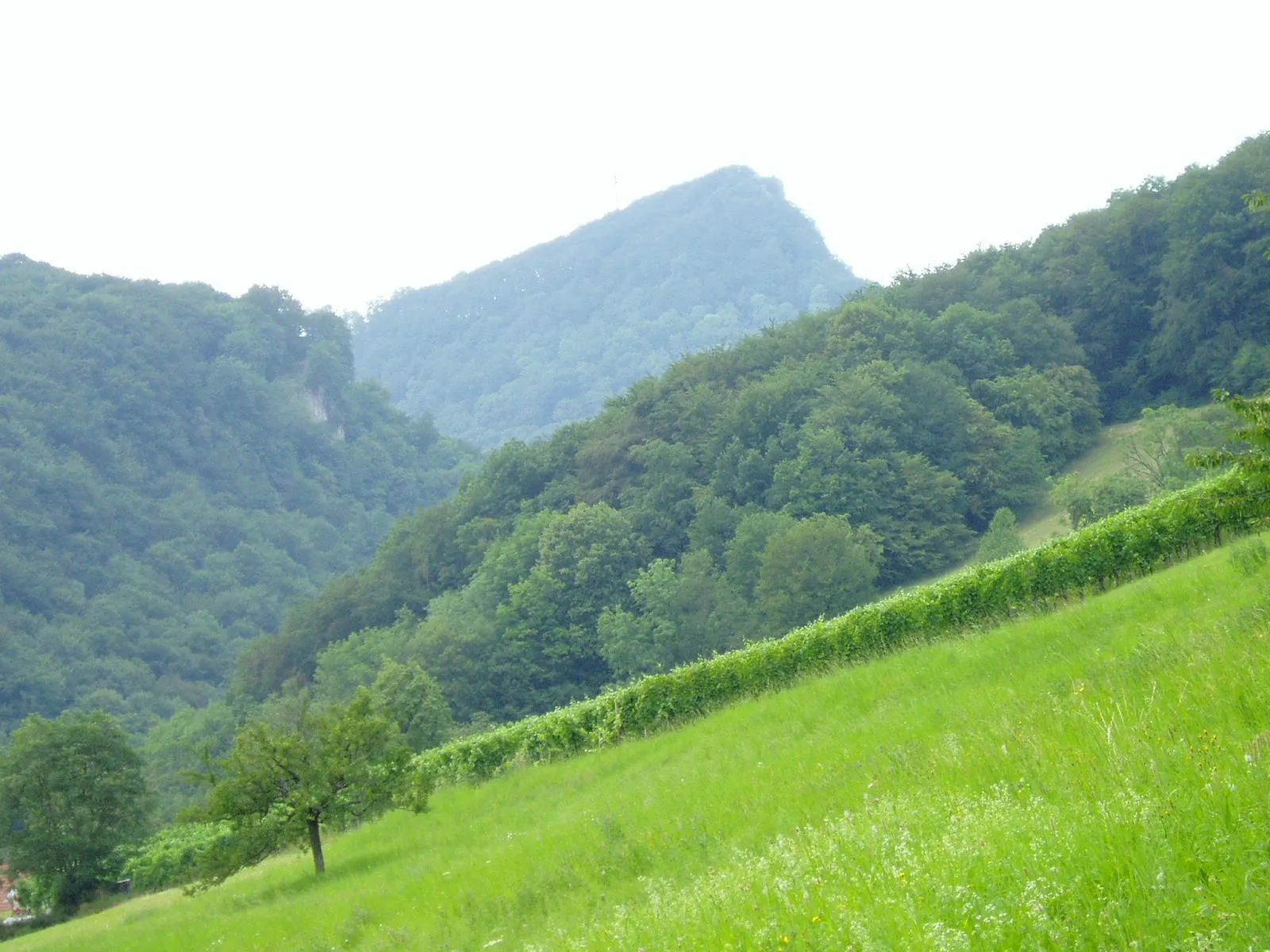
This gravel cycling route starting near Aarau takes you on an exciting journey to discover hidden gravel gems. With an ascent of 1171 meters and a distance of 50 kilometers, it offers a challenging and diverse ride for gravel enthusiasts. The highlights along the route include Aarau, Hungerberg, Dulliken, Unterer Hauenstein, Kilchberg BL, Leutschenberg, Egg, and Küttigen. The difficulty level of this route is rated as 3, suitable for experienced gravel riders looking for adventure off the beaten path. In terms of epicness, it scores a 3, as it provides scenic gravel routes and lesser-known highlights.
gravel
50 km
1171 m
Tough
Route profile
Highlights on the route
0 km
0 km
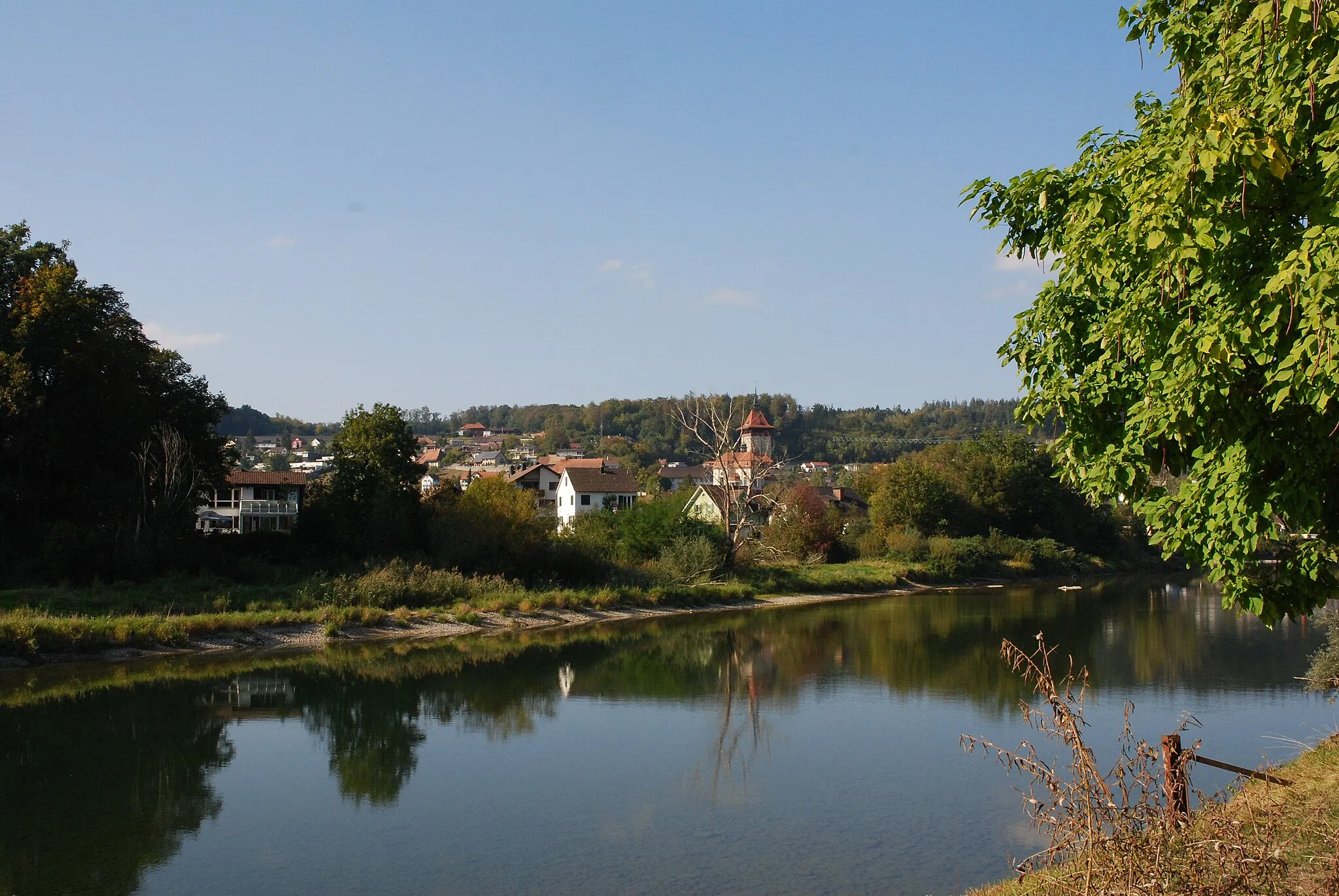
Start: Rombach Village centerAarau: Well-connected cycling paths and famous climb in a scenic environment.
Aarau, situated in the Nordwestschweiz region of Switzerland, is a cyclist's haven. The locality offers well-connected cycling paths and roads, making it easy to navigate and explore the surrounding areas. Aarau boasts a mix of flat routes, suitable for leisurely rides, as well as more challenging climbs for the avid cyclist. The locality is known for being home to the famous climb, Fröschli, which attracts cyclists looking for an exhilarating ascent. Aarau also hosts various cycling events throughout the year, catering to cyclists of all levels. Overall, Aarau provides a cyclist-friendly infrastructure with exceptional routes and breathtaking scenery.1 km
1 km
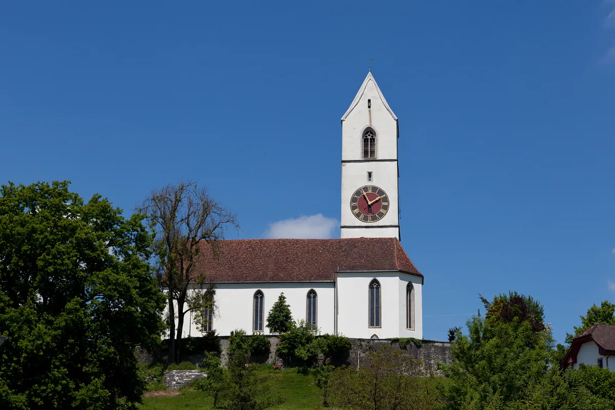
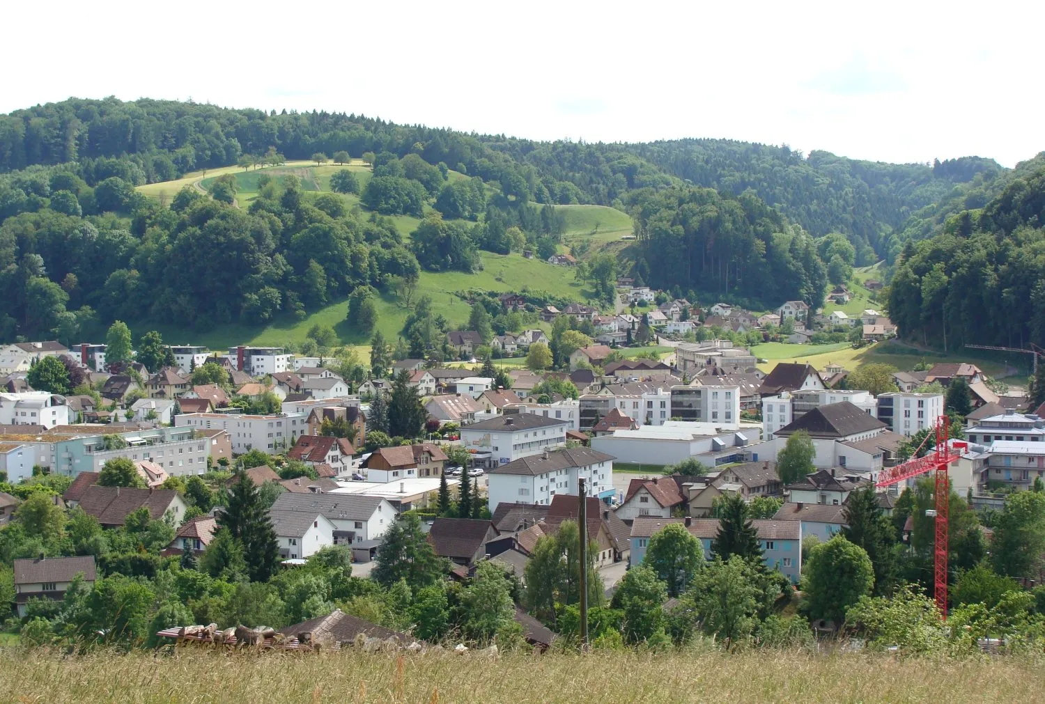
AarauTownAarau, the starting point of this route, is a picturesque town with a beautiful old town and several historic landmarks.
1 km
1 km
Hungerberg471 mPeakHungerberg is a popular cycling spot known for its challenging gravel trails and picturesque views of the surrounding countryside.
11 km
11 km
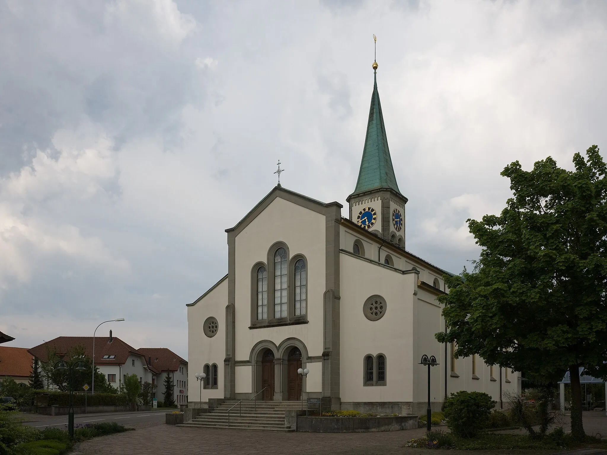
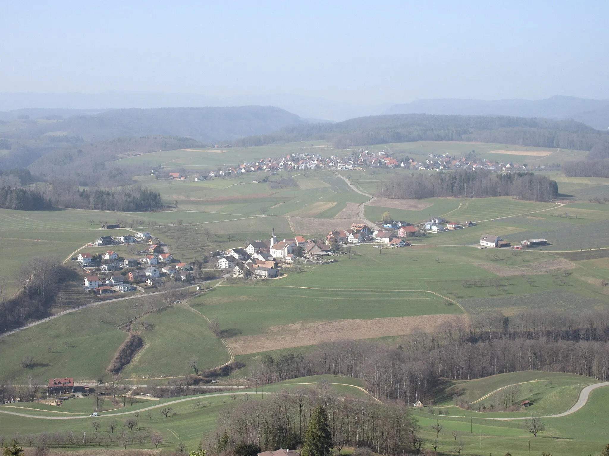
DullikenVillageDulliken is a small village surrounded by green meadows and rolling hills, offering a peaceful and idyllic setting for cyclists.
19 km
19 km
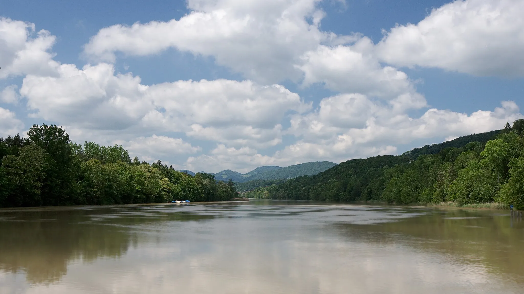
Unterer Hauenstein690 mMountain PassUnterer Hauenstein is a famous cycling climb known for its steep gradients and demanding ascent, providing a thrilling challenge for gravel riders.
33 km
33 km
Kilchberg BLVillageKilchberg BL is a charming village surrounded by vineyards and lush green landscapes, offering a scenic stop for cyclists.
37 km
37 km
Leutschenberg925 mPeakLeutschenberg is a hilltop area offering panoramic views of the surrounding countryside, making it an ideal spot for a rest and enjoying the scenery.
45 km
45 km
Egg770 mPeakEgg is a small village characterized by traditional Swiss cottages and serene surroundings, providing a peaceful atmosphere for cyclists.
48 km
48 km
KüttigenVillageKüttigen is a picturesque village located in a valley, surrounded by charming landscapes and offering a tranquil oasis for cyclists.
50 km
50 km
Finish: Rombach Village centerAarau: Well-connected cycling paths and famous climb in a scenic environment.
Cycling routes from Aarau:
Aarau - Hidden Gravel Gems Aarau - Northern Jura Mountains Exploration The Gravel Adventure Auenstein and Brästenegg Road Route Aarau - Eastern Jura Mountains Loop Buchs and Glattbrugg Road Route Scenic Gravel Tour - Aarau to Sempach Wildegg and Hungerberg Gravel Route Staffelegg and Buchs Gravel Route Küttigen and Koblenz Road Route Aarau Loop
Cycling routes nearby: