Traversing the Jura Plateau on Gravel
A gravel cycling route starting from Aesch
Embark on a gravel adventure through the rolling hills and serene landscapes of the Jura Plateau.
Map
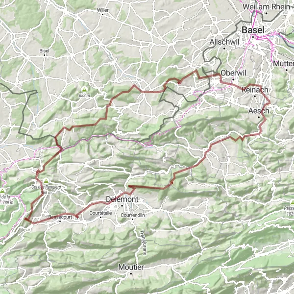
This challenging round-trip cycling route takes you through the rich natural beauty and cultural heritage of the Jura Plateau. With an ascent of 2567 meters and a distance of 111 kilometers, this route offers a blend of adrenaline-pumping gravel tracks and idyllic countryside scenery. Highlights include the medieval town of Laufen, the scenic viewpoint at Löffelberg, and the picturesque village of Reinach. Experience the thrill of conquering the Col des Rangiers and revel in the tranquility of the Glaserberg peak. This route promises an unforgettable cycling experience for gravel enthusiasts seeking an authentic connection with nature.
gravel
111 km
2567 m
Tough
Route profile
Highlights on the route
0 km
0 km
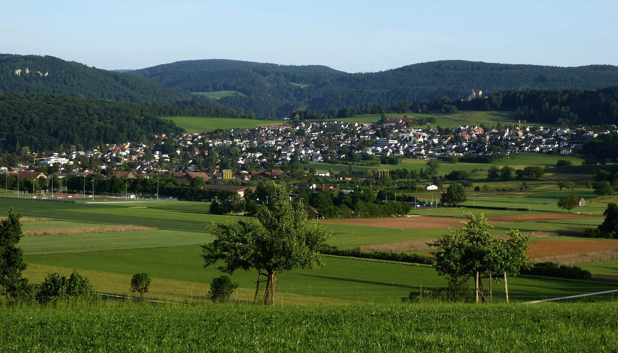
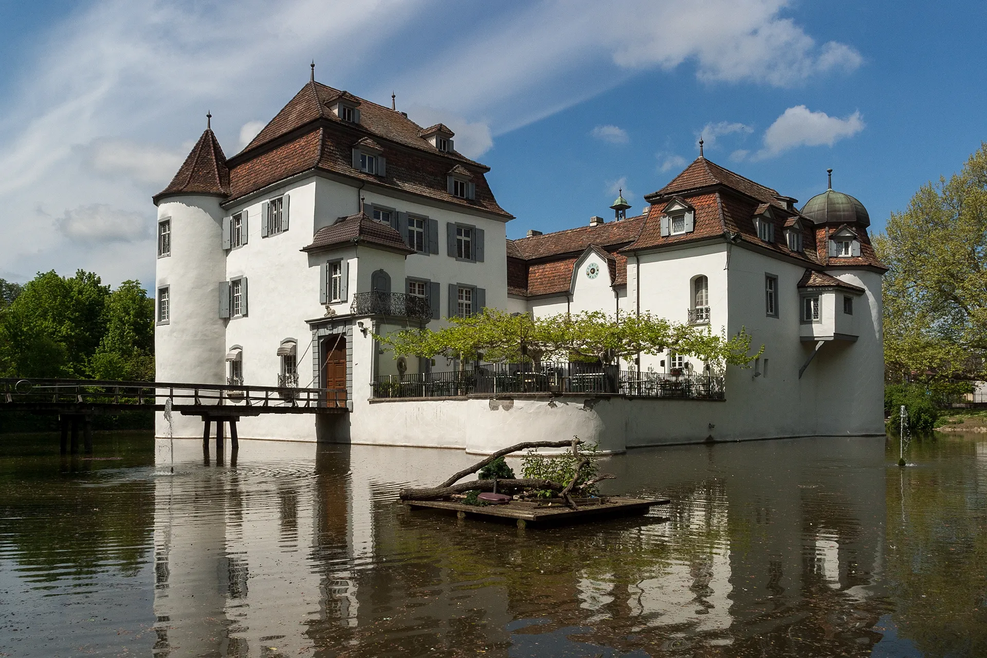
Start: Dornach Village centerAesch: Discover Aesch's charming cycling routes, including the challenging Passwang Pass climb.
Aesch, located in the Nordwestschweiz region of Switzerland, is a small town with charming cycling routes suitable for road and gravel cyclists. The area offers a mix of flat and hilly terrain, providing options for both leisurely rides and challenging climbs. One of the famous spots for cyclists in Aesch is the Passwang Pass, a demanding climb that rewards riders with stunning views of the surrounding landscapes. Overall, Aesch receives a rank of 4 in terms of cycling-friendly areas.15 km
15 km
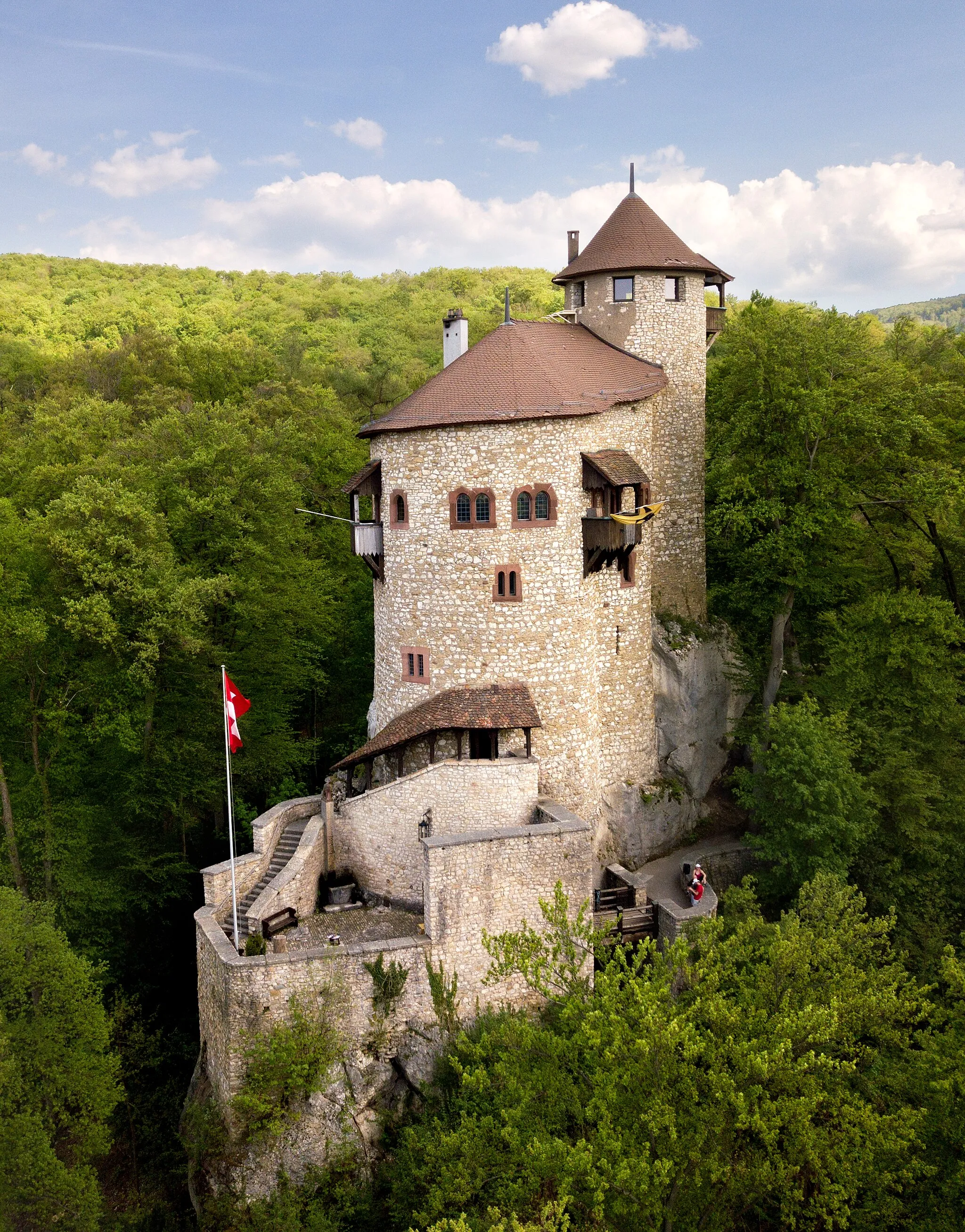
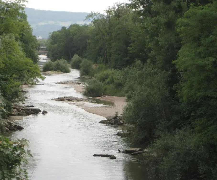
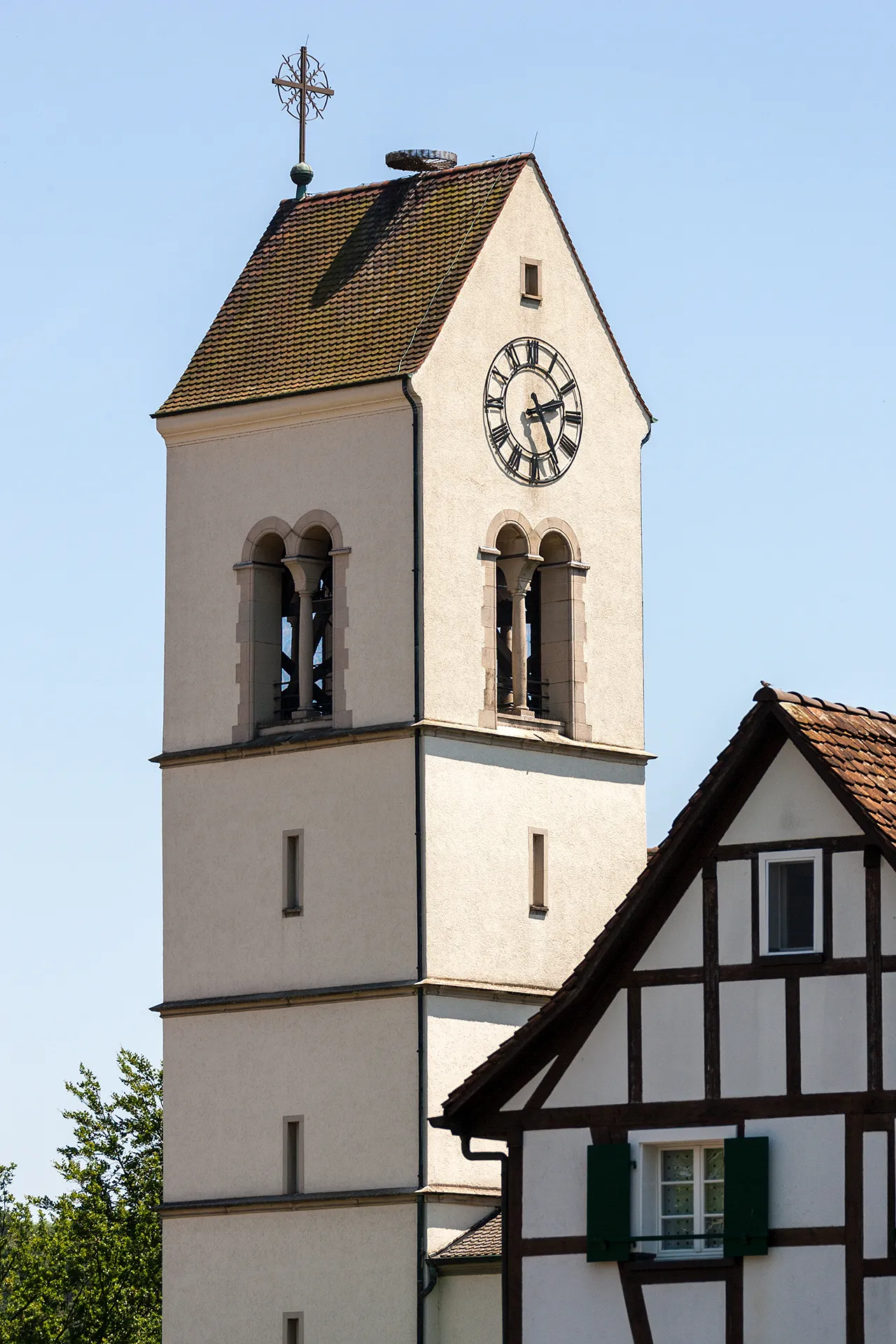
LaufenVillageLaufen: Step back in time and explore the medieval remnants of Laufen.
22 km
22 km
Löffelberg623 mPeakLöffelberg: Marvel at the panoramic views from the summit of Löffelberg.
39 km
39 km
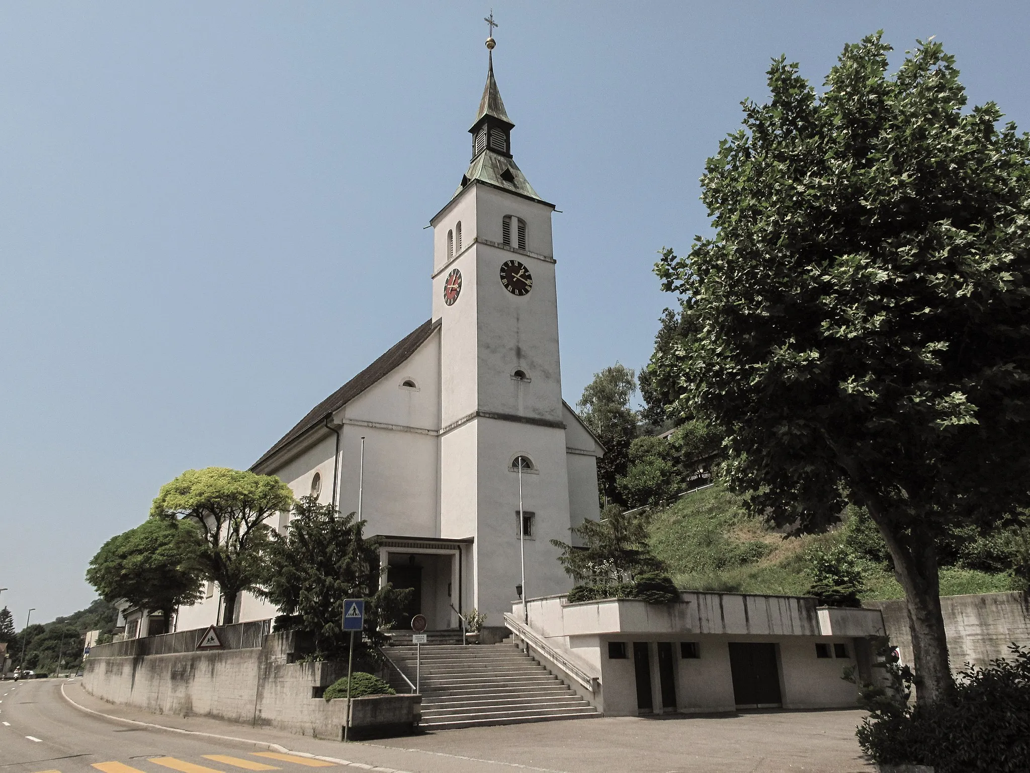
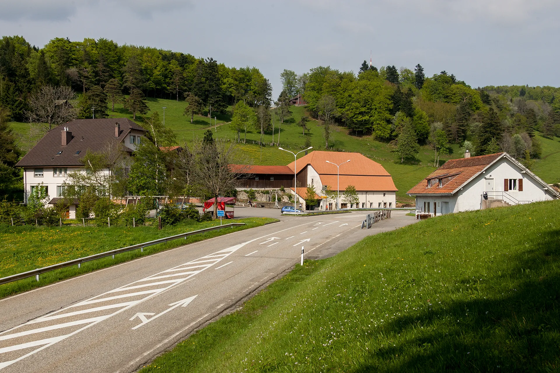
DevelierVillageDevelier: Discover the charming village of Develier with its well-preserved architecture.
58 km
58 km
Col des Rangiers856 mMountain PassCol des Rangiers: Challenge yourself with the scenic ascent to Col des Rangiers.
61 km
61 km
AsuelVillageAsuel: Uncover the dramatic landscapes surrounding the quaint village of Asuel.
73 km
73 km
Glaserberg816 mPeakGlaserberg: Reach new heights as you conquer the heights of Glaserberg.
80 km
80 km
SondersdorfVillageSondersdorf: Experience the stunning vistas from the Sondersdorf viewpoint.
96 km
96 km
Hagenthal-le-HautVillageHagenthal-le-Haut: Discover the charm of this picturesque French village.
107 km
107 km
ReinachTownReinach: Immerse yourself in the tranquil beauty of Reinach's countryside.
111 km
111 km
Finish: Dornach Village centerAesch: Discover Aesch's charming cycling routes, including the challenging Passwang Pass climb.
Cycling routes nearby: