Discover Dreiländereck by Bike
A gravel cycling route starting from Arlesheim
Explore the fascinating Dreiländereck region by bike
Map

Embark on a thrilling gravel adventure to the Dreiländereck region, where Switzerland, Germany, and France meet. This route offers a unique opportunity to explore the cultural and natural attractions of this cross-border area, with a total ascent of 755m and a distance of 67km. The highlights along the way include the Foto-Spot Dreiländereck, Dreiländereck, Efringen-Kirchen, Katzenberg, Kandern, Grüneberg, Hünerberg, Riehen, and Arlesheim. The difficulty level is evaluated at 3, suitable for well-trained amateur cyclists. With its rich history, stunning landscapes, and cultural diversity, this route offers a truly memorable cycling experience.
gravel
67 km
755 m
Tough
Route profile
Highlights on the route
0 km
0 km
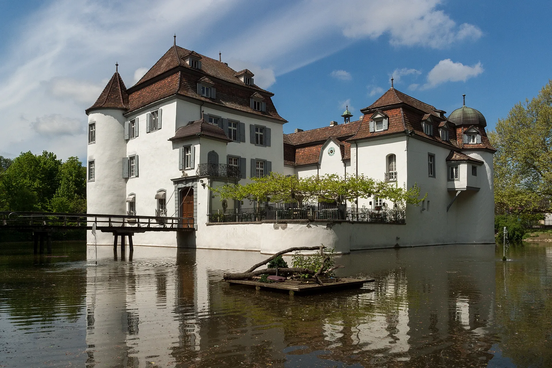
Start: Arlesheim Village centerArlesheim: Conquer the Swiss Alps on two wheels.
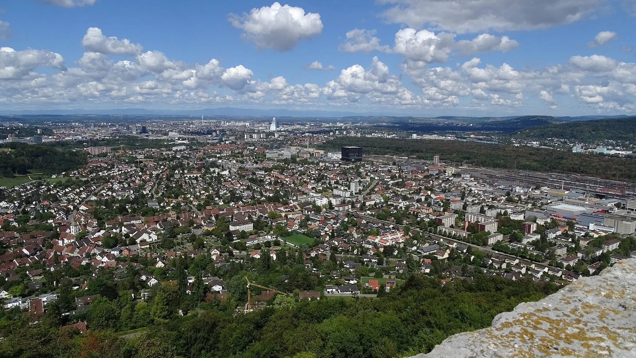
Arlesheim, located in the Nordwestschweiz region of Switzerland, is a cyclist's paradise. The locality is nestled in the breathtaking Swiss Alps, offering stunning mountain vistas and challenging climbs. Cyclists can explore the nearby Jura Mountains, which provide a variety of cycling routes ranging from scenic and leisurely to demanding and thrilling. Arlesheim itself is a charming town with a rich history and beautiful architecture. With its legendary climbs and postcard-worthy scenery, Arlesheim is a dream destination for any cycling enthusiast.12 km
12 km
Foto-Spot DreiländereckViewpointThe Foto-Spot Dreiländereck offers an opportunity to capture a unique photo at the meeting point of three countries.
12 km
12 km
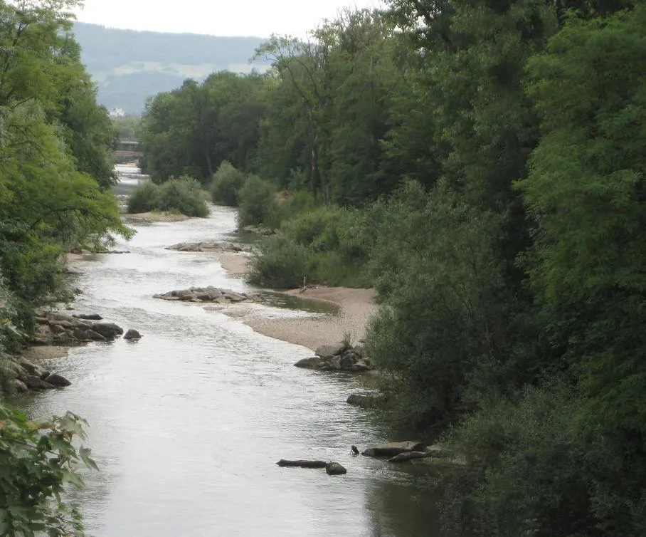
DreiländereckAttractionDreiländereck is the point where Switzerland, Germany, and France meet, symbolizing the interconnectedness of the three nations.
20 km
20 km
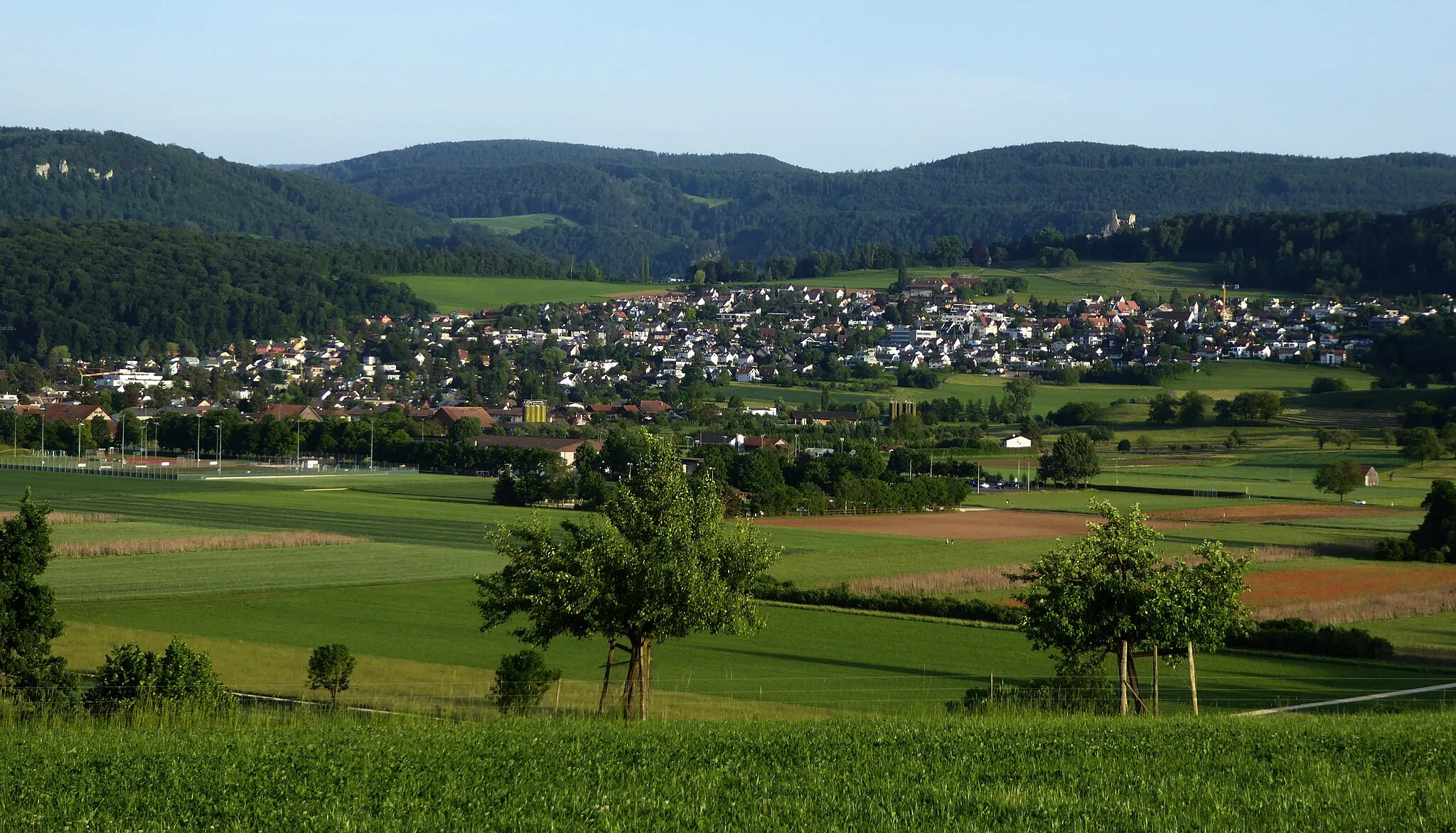
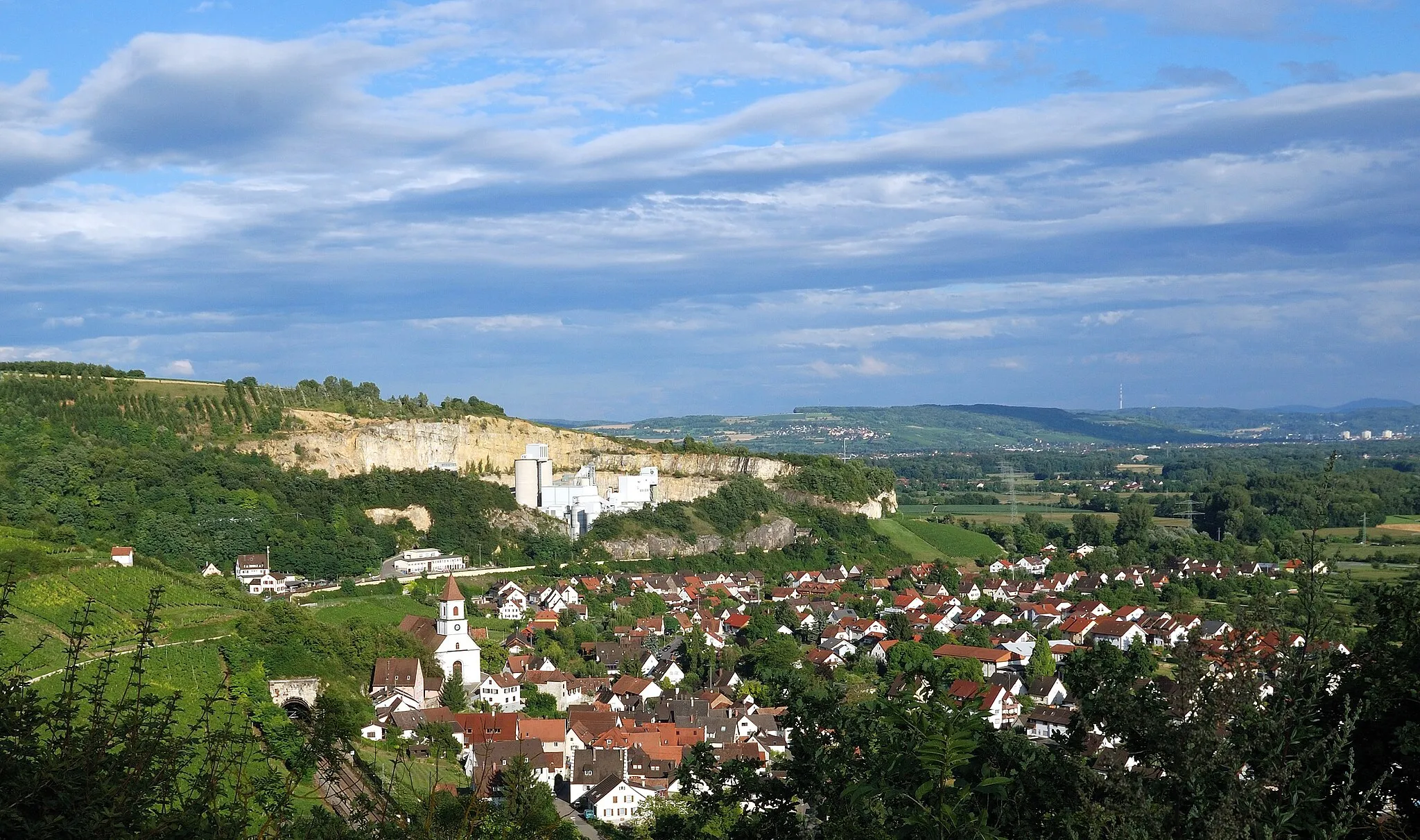
Efringen-KirchenVillageEfringen-Kirchen is a picturesque German village with charming streets and historic buildings.
24 km
24 km
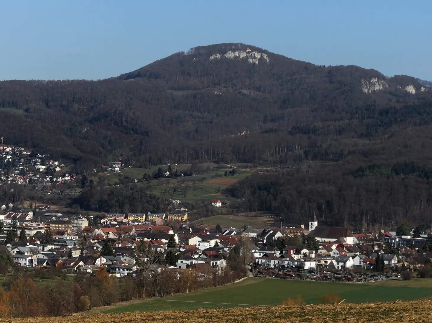
Katzenberg397 mPeakKatzenberg is a small hill offering beautiful views of the surrounding countryside and vineyards.
34 km
34 km
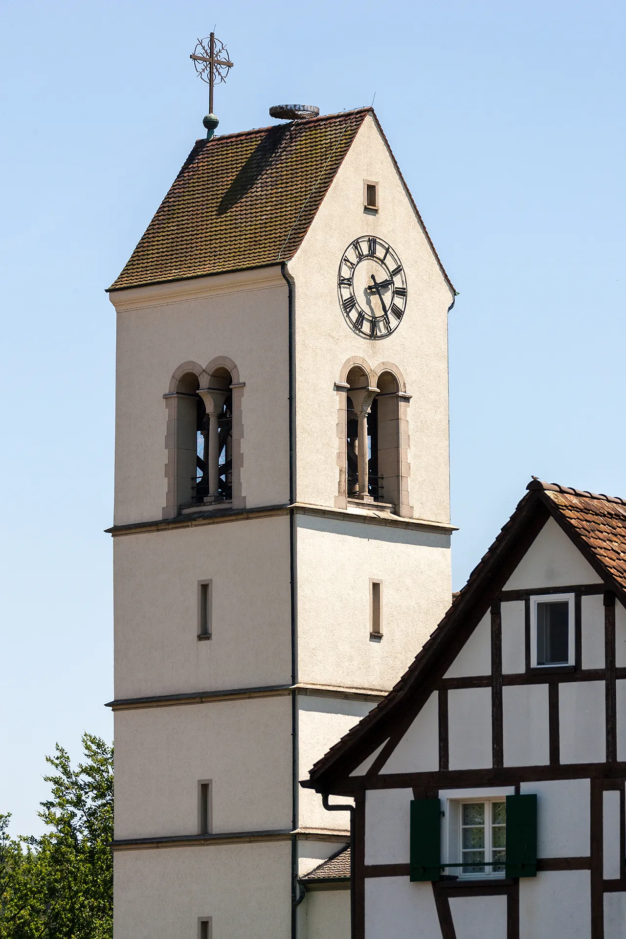
KandernTownKandern is a lovely German town known for its medieval architecture and vibrant cultural scene.
44 km
44 km
Grüneberg482 mPeakGrüneberg is a scenic hill offering panoramic views of the surrounding landscapes, perfect for a photo stop.
52 km
52 km
Hünerberg403 mPeakHünerberg is a historical site with ancient ruins dating back to Roman times, providing an insight into the region's rich history.
56 km
56 km
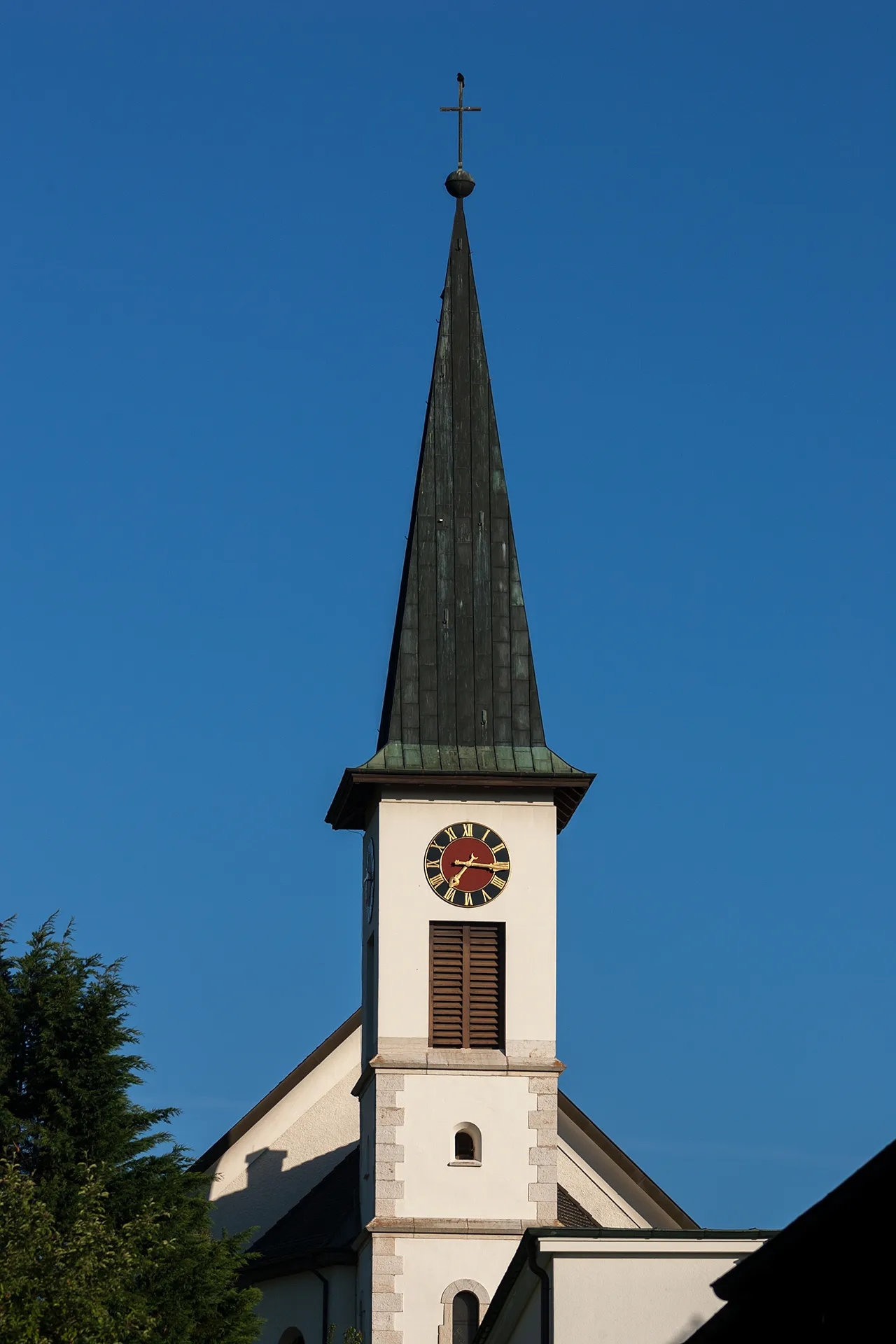
RiehenTownRiehen is a charming town on the edge of Basel, known for its beautiful parks and gardens.
67 km
67 km
ArlesheimVillageArlesheim is a historic town known for its beautiful cathedral and charming old town.
67 km
67 km
Finish: Arlesheim Village centerArlesheim: Conquer the Swiss Alps on two wheels.
Cycling routes from Arlesheim:
Riehen and its Surroundings Gravel Adventure through Bürenflue Scenic Gravel Route to Gempen Discover Dreiländereck by Bike Enchanting Road Adventure to Hörnli Horn and Castles Round-trip Scenic Gravel Trail Adventure Picturesque Countryside and Castles Riehen Forest Exploration Mountain Challenge Experience
Cycling routes nearby: