Brugg Loop
A road cycling route starting from Hagglingen
A scenic road cycling route with challenging climbs
Map
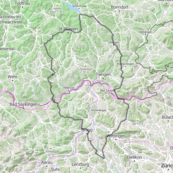
The Brugg Loop is a scenic road cycling route in the Nordwestschweiz region of Switzerland. With an ascent of 2379 meters and a distance of 143 kilometers, this route offers a challenging and rewarding experience for well-trained amateur cyclists. The highlight of the route is Brugg, a picturesque town with beautiful medieval architecture and charming streets. Other highlights include the Cheisacherturm, a historical tower with panoramic views of the surrounding countryside, and the Lehenkopf, a scenic hill with stunning vistas. With its mix of challenging climbs, picturesque towns, and breathtaking views, the Brugg Loop is a must-try for experienced cyclists.
road
143 km
2379 m
Savage
Route profile
Highlights on the route
0 km
0 km
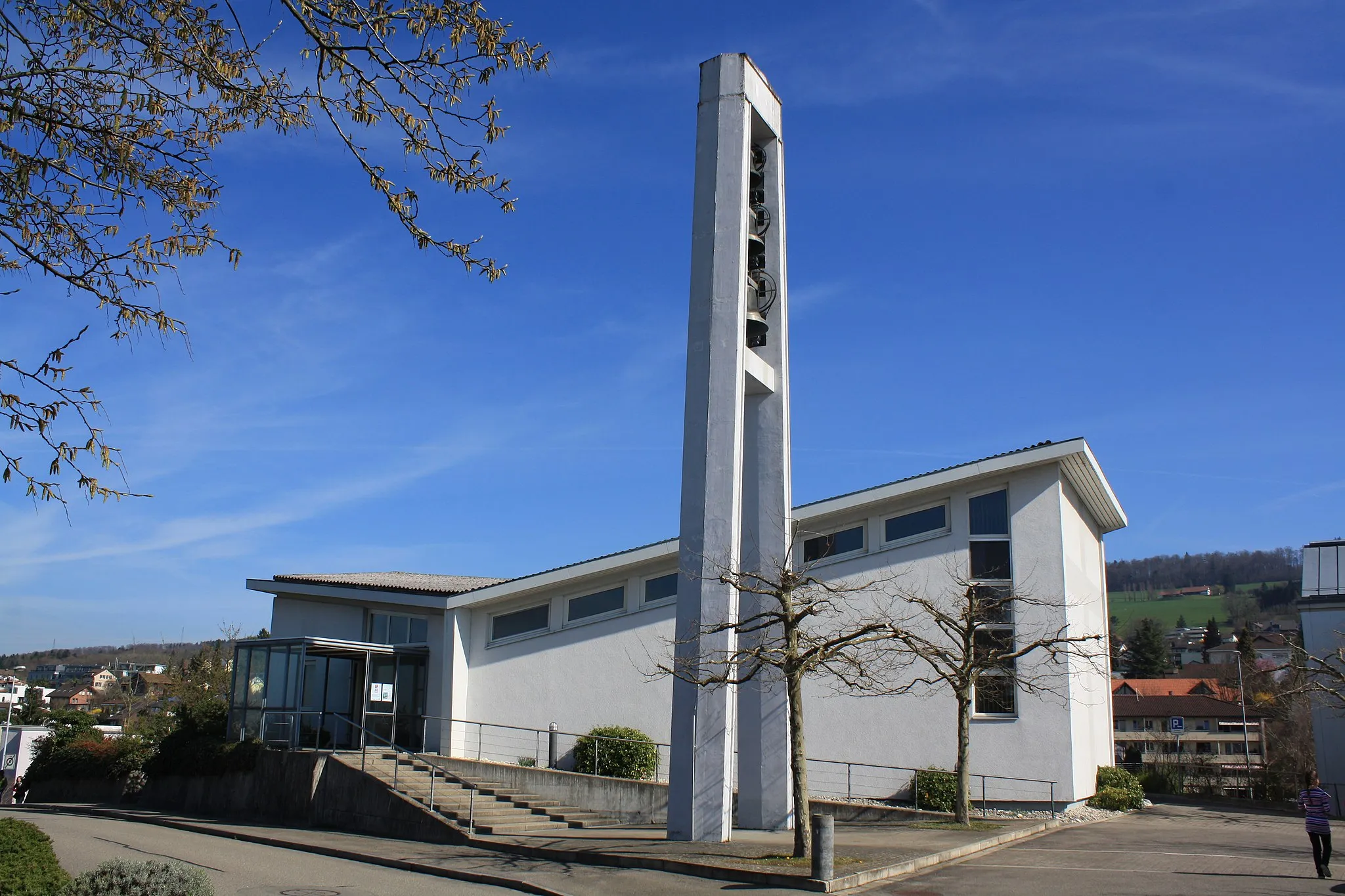
Start: Tägerig Village centerHägglingen: Recreational cycling through scenic countryside in Hägglingen, Switzerland.
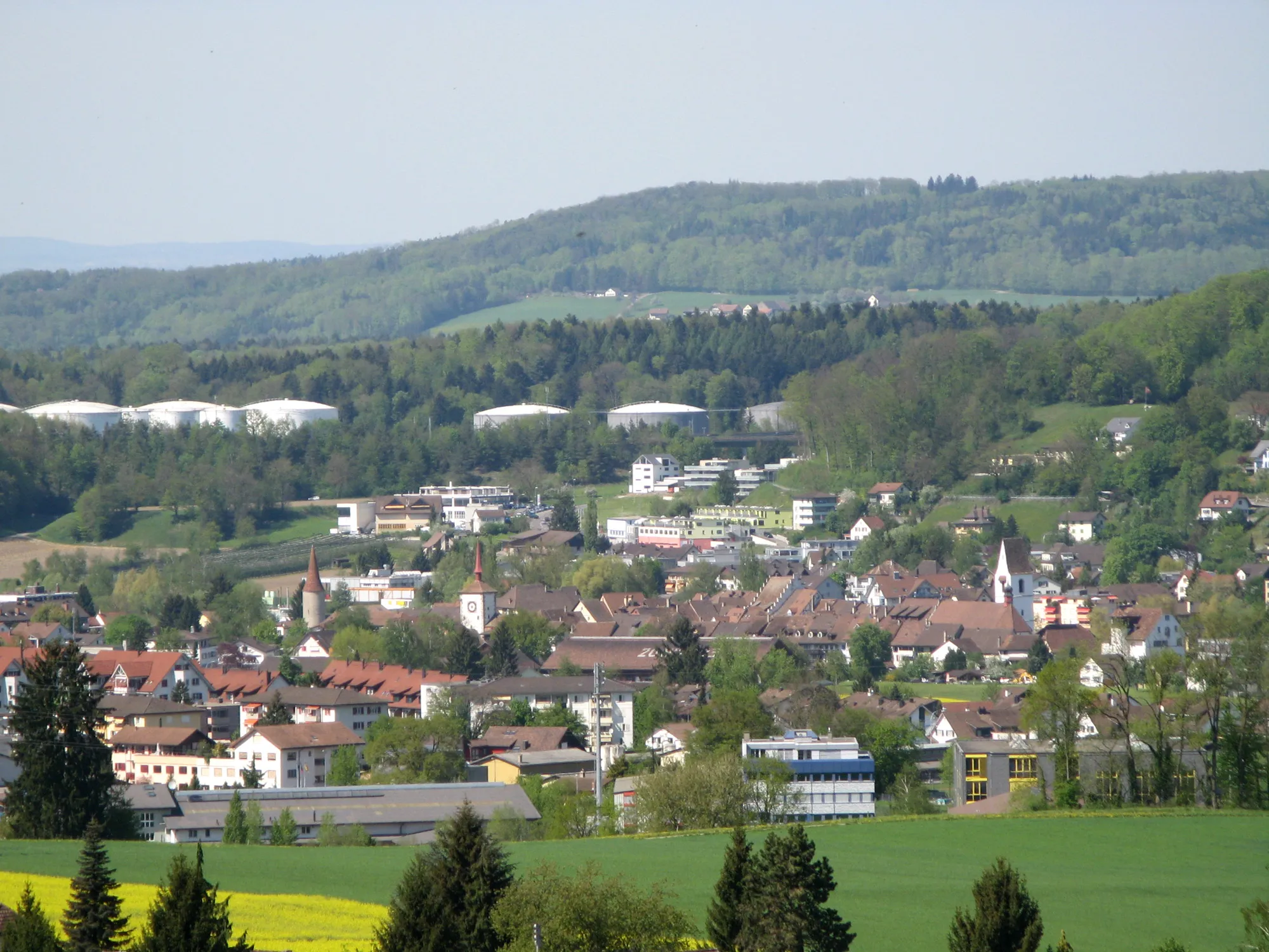
Hägglingen is a locality in the Nordwestschweiz region of Switzerland. Cyclists can enjoy a mix of flat and rolling terrains, with well-paved roads that provide a smooth riding experience. While there aren't any world-famous cycling spots nearby, Hägglingen offers beautiful countryside views and a peaceful atmosphere for recreational cycling. It also serves as a convenient base for exploring other nearby Swiss cycling destinations.12 km
12 km
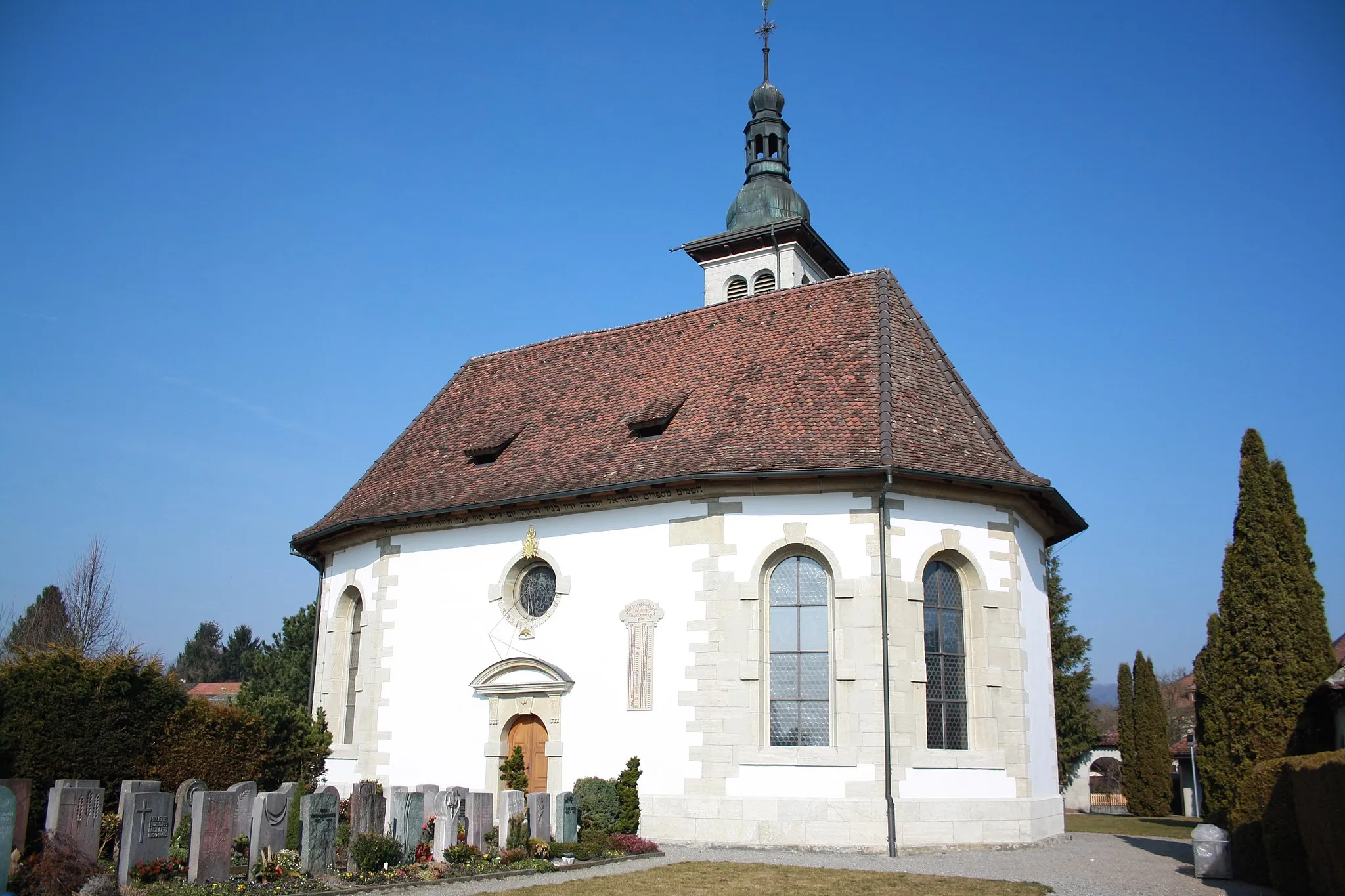
BruggTownBrugg is a charming town with well-preserved medieval architecture and a rich history.
16 km
16 km
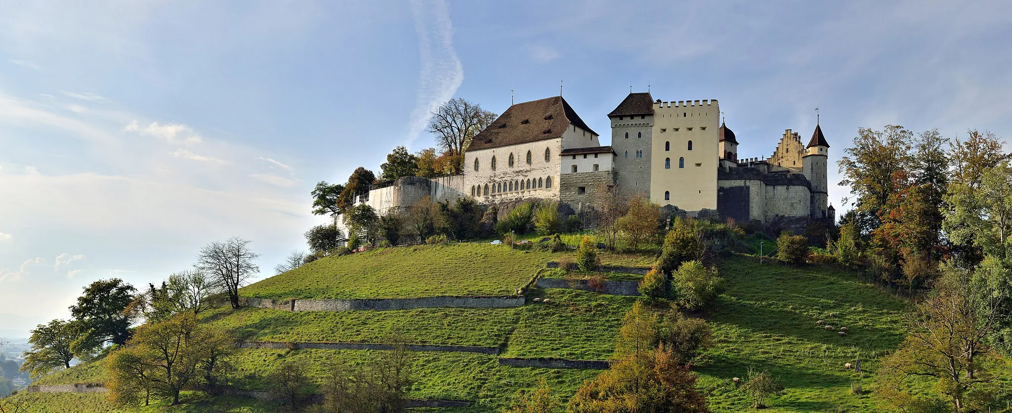
Iberg484 mCastleIberg is a scenic hill with stunning panoramic views of the surrounding landscape.
24 km
24 km
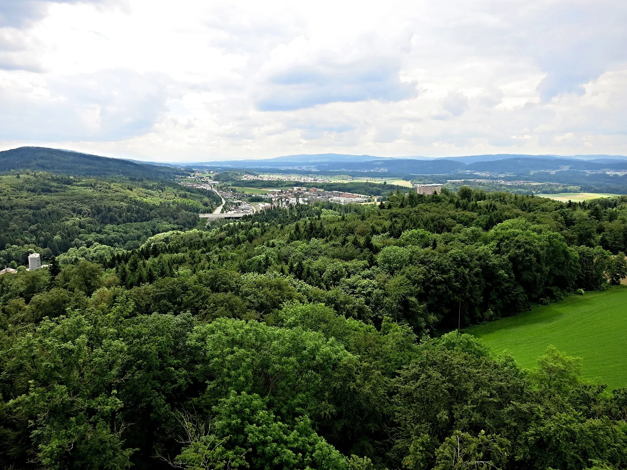
CheisacherturmViewpointCheisacherturm offers breathtaking views of the countryside and is a great spot for photography.
32 km
32 km
LaufenburgTownLaufenburg is a picturesque town located on the banks of the river Rhine with beautiful riverside promenade.
43 km
43 km
Heul712 mPeakHeul is a small village known for its traditional Swiss architecture and peaceful surroundings.
45 km
45 km
GörwihlVillageGörwihl is a charming village with historic buildings and scenic landscapes.
66 km
66 km
Lehenkopf1039 mPeakLehenkopf offers stunning panoramic views of the Swiss countryside and is a great spot for hiking and picnics.
66 km
66 km
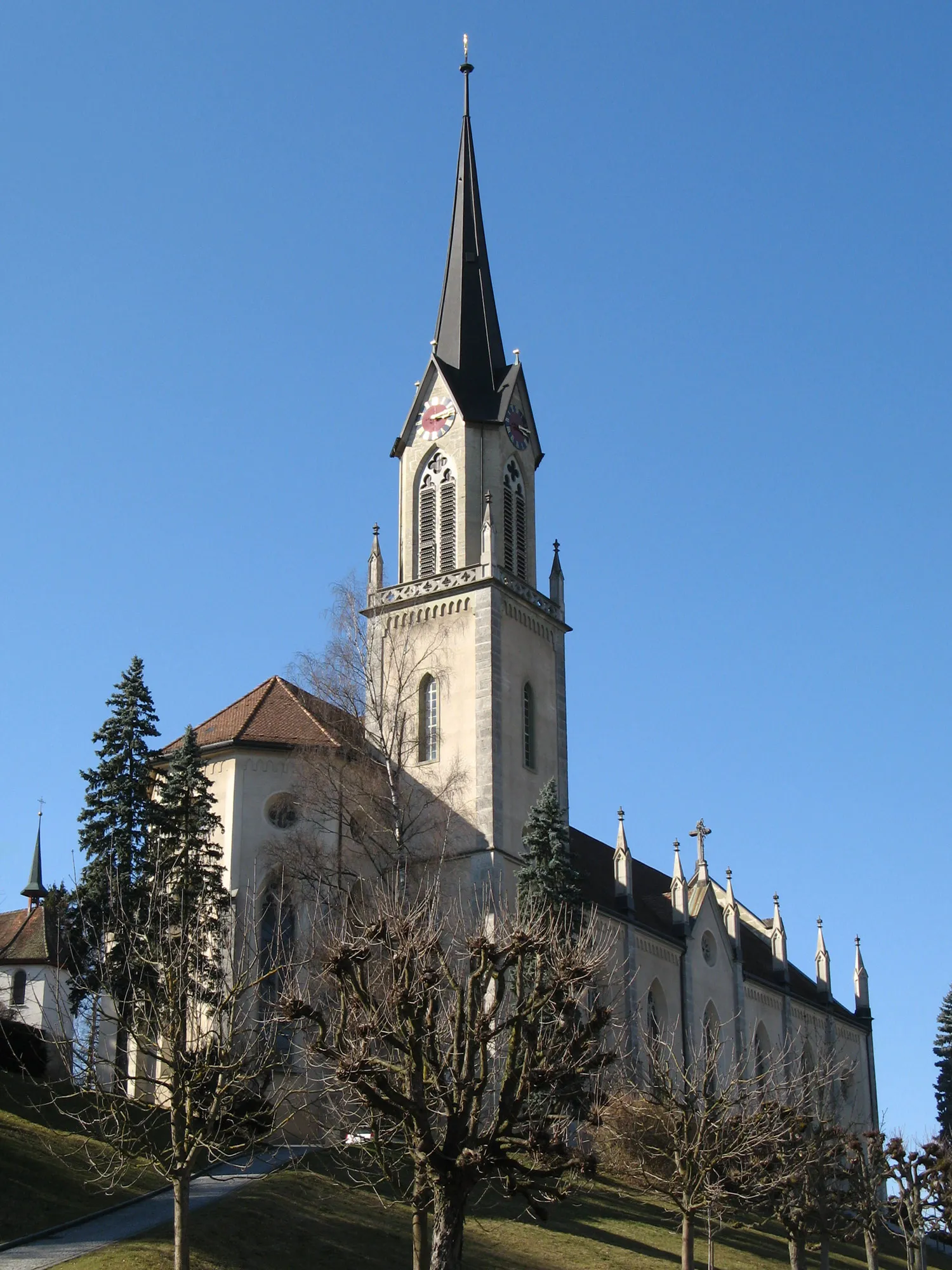
St. BlasienTownSt. Blasien is a beautiful town with a rich history and several historical sites.
78 km
78 km
Wagnersberg1105 mPeakWagnersberg is a quiet village with beautiful natural surroundings and a peaceful atmosphere.
84 km
84 km
GrafenhausenVillageGrafenhausen is a charming town located in the Black Forest region, known for its scenic beauty and outdoor activities.
98 km
98 km
Duxenberg619 mPeakDuxenberg is a small village with a rich history and interesting architecture.
105 km
105 km
Willmendinger SchlossCastleWillmendinger Schloss is a historical castle with beautiful gardens and panoramic views of the Swiss Alps.
121 km
121 km
Belchen526 mMountain PassBelchen is a famous mountain in the Black Forest region, known for its stunning views and challenging hiking trails.
125 km
125 km
SchneisingenVillageSchneisingen is a charming Swiss village with well-preserved historic buildings and a tranquil atmosphere.
132 km
132 km
BadenTownBaden is a vibrant city with a rich history and a wide range of cultural attractions and outdoor activities.
134 km
134 km
Wasserturm BaldeggViewpointWasserturm Baldegg offers a great view of the surrounding countryside and is a popular spot for picnics and relaxation.
143 km
143 km
Finish: Tägerig Village centerHägglingen: Recreational cycling through scenic countryside in Hägglingen, Switzerland.
Cycling routes nearby: