Epic Road Cycling Route: Hölstein to Todtmoos
A road cycling route starting from Holstein
Embark on an adventurous road cycling journey from Hölstein to Todtmoos, experiencing the beauty of the Black Forest.
Map
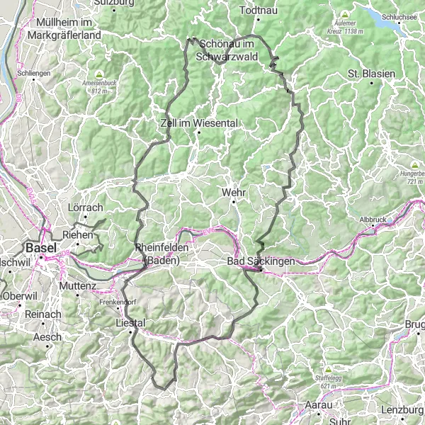
This challenging road cycling route takes you from Hölstein to Todtmoos, offering breathtaking views of the Black Forest. The 144km route includes an ascent of 2695m, making it suitable for experienced cyclists looking for an epic adventure. Highlights along the route include Spitzenberg, a mountain with panoramic views; Augst, known for its impressive Roman ruins; Degerfelden, a picturesque village with traditional half-timbered houses; Häfnet, a popular lookout point with stunning views of the surrounding landscape; and Todtmoos, a picturesque village nestled in the heart of the Black Forest.
road
144 km
2695 m
Savage
Route profile
Highlights on the route
0 km
0 km
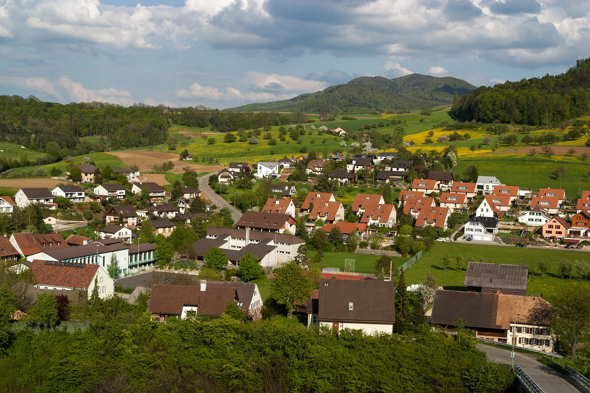
Start: Hölstein Village centerHölstein: Experience thrilling climbs in the scenic Hölstein region
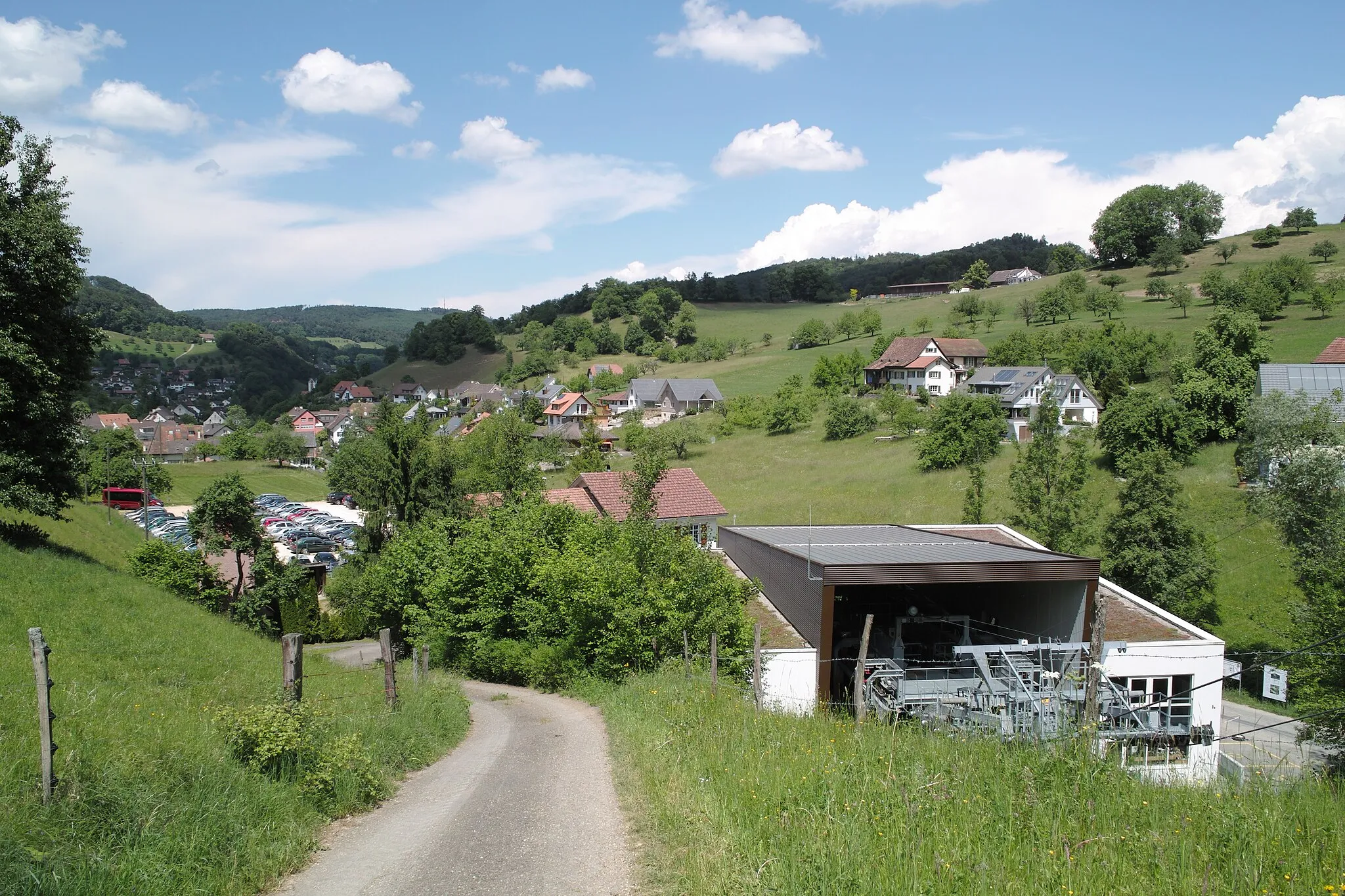
Hölstein is a scenic locality situated in Nordwestschweiz, Switzerland. As a road and gravel cyclist, you will be captivated by the beautiful Swiss landscapes and well-maintained roads. Hölstein offers a variety of cycling routes, including the famous Hirschberg climb. The Hirschberg climb is known for its challenging gradients and stunning panoramic views from the top. Hölstein is a top-notch destination for cyclists seeking natural beauty and thrilling climbs.2 km
2 km
Spitzenberg496 mPeakSpitzenberg offers panoramic views of the surrounding countryside.
14 km
14 km
AugstVillageVisit Augst and explore its impressive Roman ruins and museum.
22 km
22 km
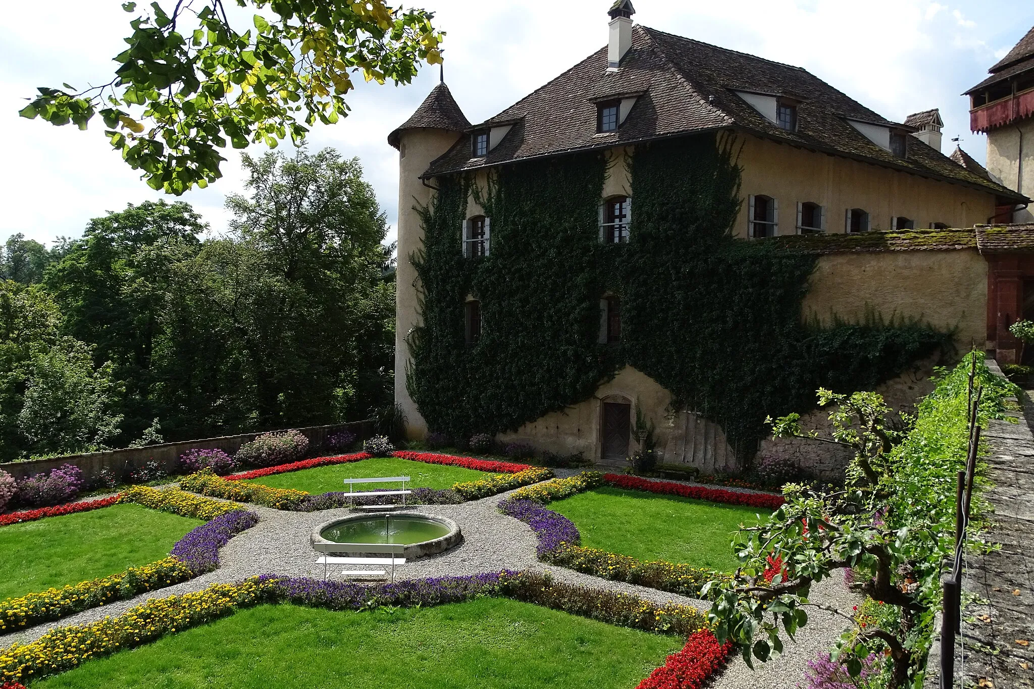
DegerfeldenSub-urbDegerfelden is a picturesque village with traditional half-timbered houses.
23 km
23 km
Eichberg477 mPeakEichberg offers stunning views of the Rhine Valley.
36 km
36 km
Häfnet545 mPeakHäfnet is a popular lookout point with panoramic views.
44 km
44 km
TegernauVillageTegernau is a charming village with traditional Black Forest architecture.
54 km
54 km
Spitzkopf937 mPeakSpitzkopf offers breathtaking views of the Black Forest.
64 km
64 km
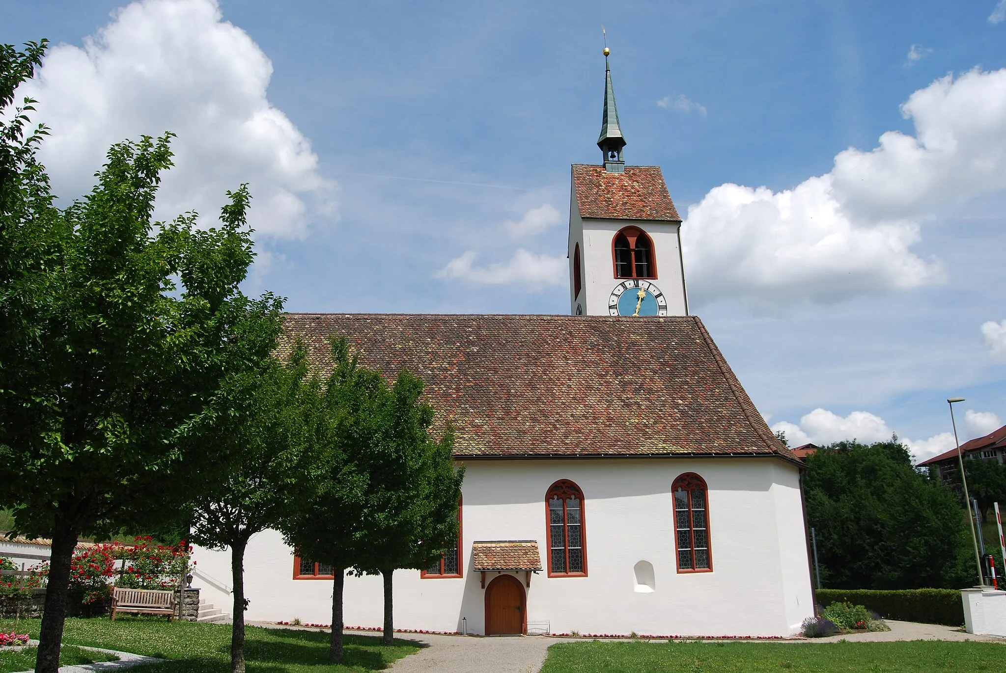
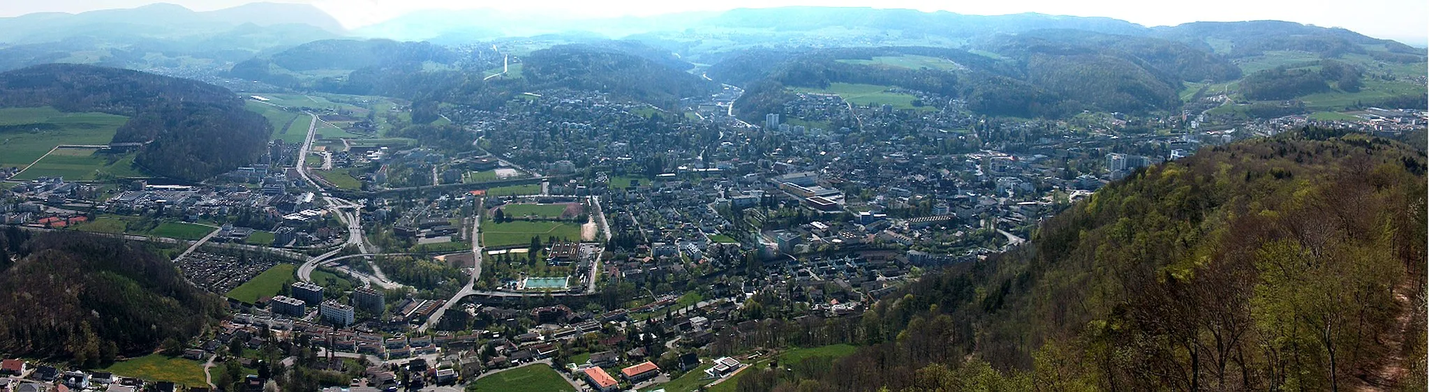
Schönau im SchwarzwaldTownSchönau im Schwarzwald is a picturesque village with traditional Black Forest houses.
79 km
79 km
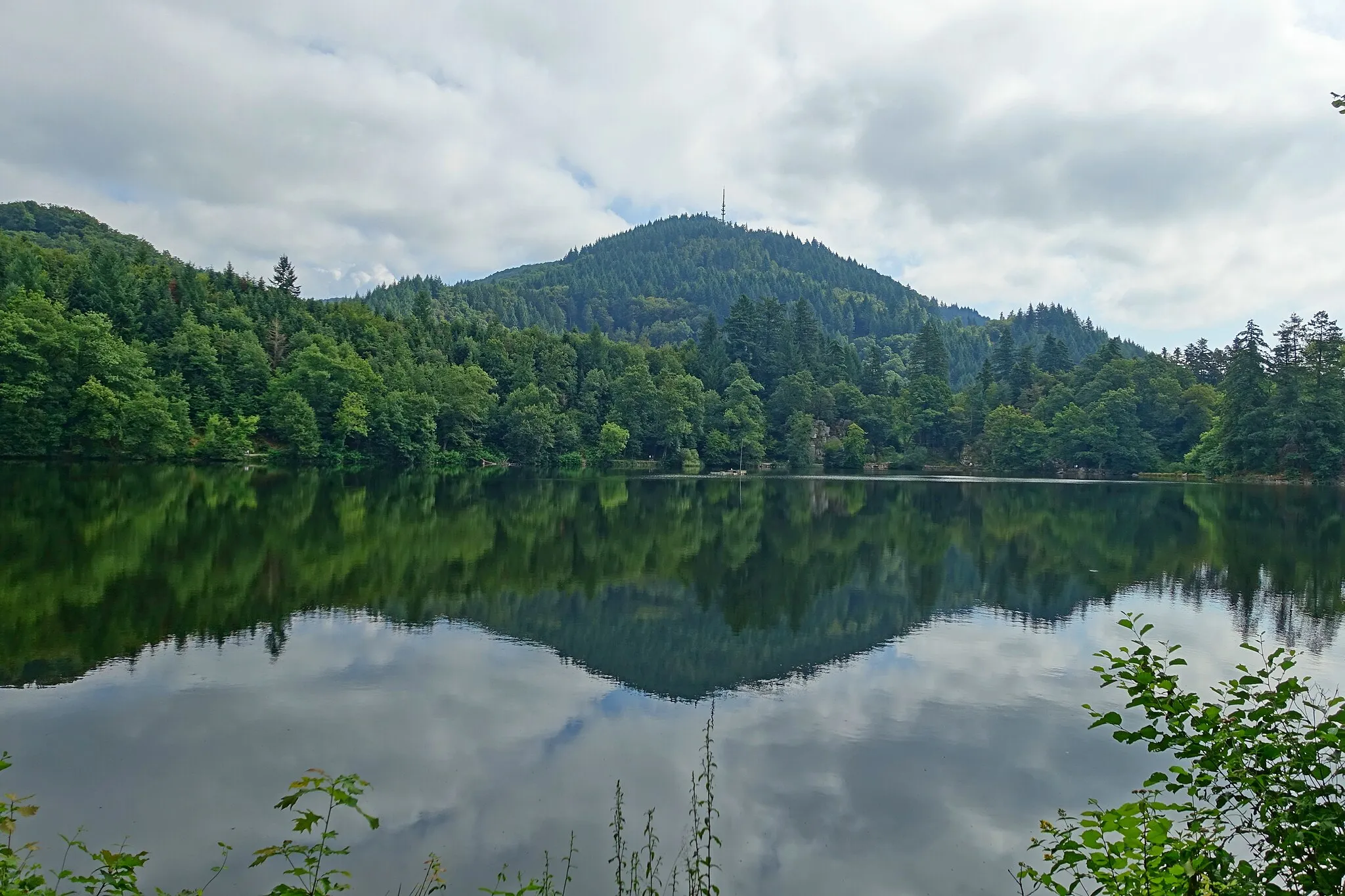
Hochkopf1263 mPeak ViewpointHochkopf is a popular hiking and skiing destination in the Black Forest.
83 km
83 km
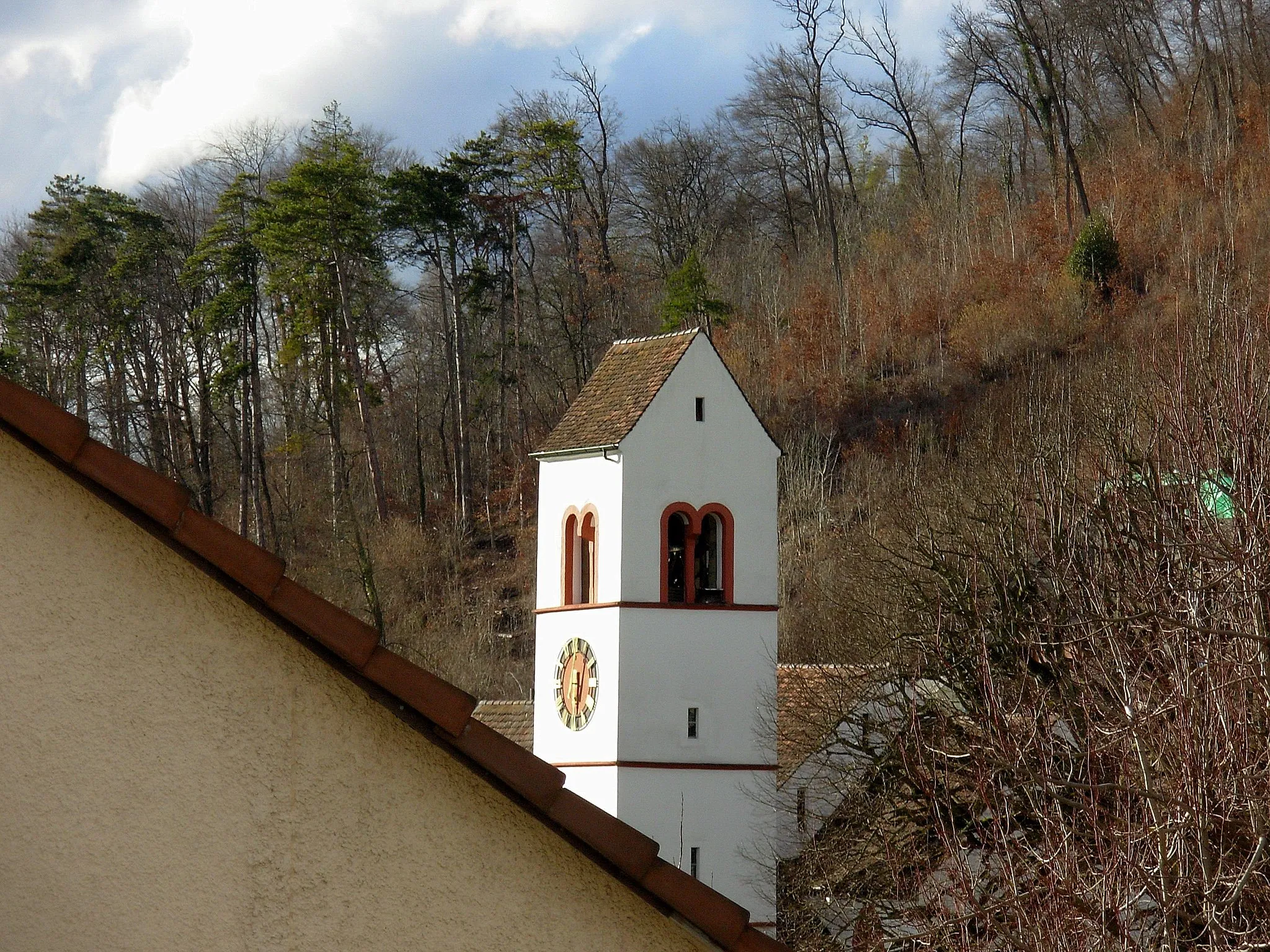
TodtmoosVillageTodtmoos is a picturesque village surrounded by beautiful nature.
94 km
94 km
HerrischriedVillageHerrischried is known for its traditional Black Forest architecture and beautiful countryside.
106 km
106 km
Eggberg709 mPeakEggberg is a quiet mountain village with stunning views of the Black Forest.
115 km
115 km
MumpferflueViewpointMumpferflue offers stunning views of the Rhine River and surrounding countryside.
129 km
129 km
OrmalingenVillageOrmalingen is a small village known for its historic buildings and scenic views.
139 km
139 km
Buechholz523 mPeakBuechholz is a scenic village with traditional Black Forest houses.
143 km
143 km
LampenbergVillageLampenberg is known for its traditional Swiss architecture and beautiful rural surroundings.
144 km
144 km
Finish: Hölstein Village centerHölstein: Experience thrilling climbs in the scenic Hölstein region
Cycling routes from Holstein:
Hölstein Gravel Loop Nordwestschweiz Classic Road Ride Nordwestschweiz Extended Road Ride Scenic Gravel Discoveries Enchanting Road Escape Hölstein Gravel Adventure Epic Road Cycling Route: Hölstein to Todtmoos Hölstein to Schoren Gravel Cycling Route Diverse Gravel Cycling Route: Hölstein to Ebeni Hölstein Road Escape Pratteln - Hölstein Loop Hölstein - Lampenberg Loop Sissach - Oltingen Loop
Cycling routes nearby: