Erschwil to Laufen Gravel Route
A gravel cycling route starting from Roschenz
Embark on a scenic gravel route from Erschwil to Laufen
Map
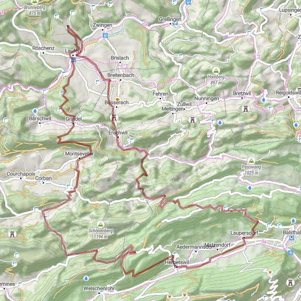
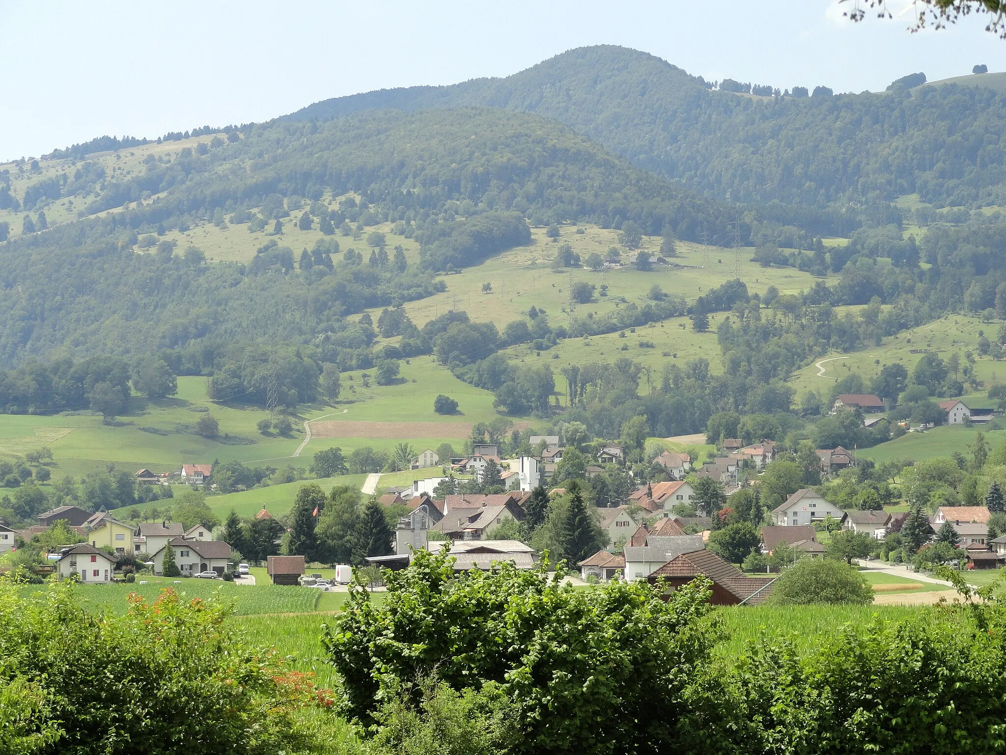
Explore the natural beauty of the Nordwestschweiz region with this gravel route from Erschwil to Laufen. Covering a distance of 76 kilometers and an ascent of 2573 meters, this route is suitable for experienced gravel cyclists. Highlights along the way include Erschwil, a charming village surrounded by rolling green meadows and fields, and Stürmechopf, a mountain with breathtaking views of the Jura Mountains and the surrounding countryside. Don't miss Laufen, with its picturesque old town and historic buildings.
gravel
76 km
2573 m
Tough
Route profile
Highlights on the route
0 km
0 km
Start: Dittingen Village centerRöschenz: Tranquil cycling getaway in Nordwestschweiz.
Röschenz, located in Nordwestschweiz, Switzerland, is a cyclist-friendly locality surrounded by beautiful countryside. The region offers a mix of road and gravel cycling routes, catering to a variety of cycling preferences. Cyclists can enjoy the peacefulness of the idyllic vineyards and rolling hills while exploring the area. Several well-known cycling spots, such as Basel and Jura Mountains, are easily accessible from Röschenz, providing additional opportunities for challenging climbs and scenic rides. Overall, Röschenz is a great destination for cyclists seeking a serene and picturesque cycling experience.10 km
10 km
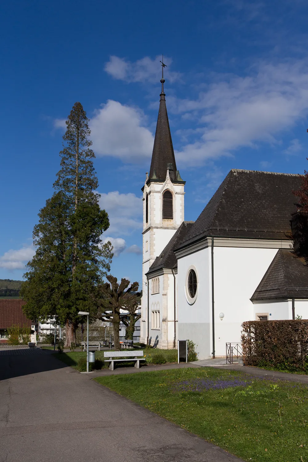
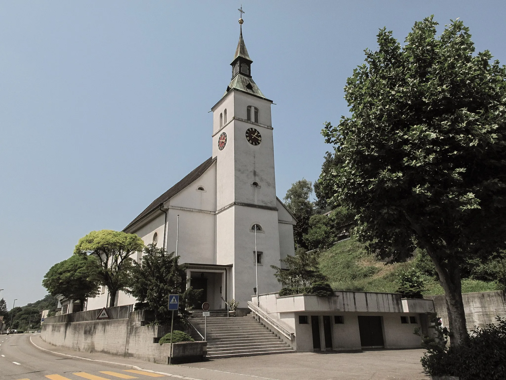
ErschwilVillageErschwil is a tranquil village surrounded by idyllic Swiss countryside and open meadows.
16 km
16 km
Dürreberg1032 mPeakDürreberg is a small hill offering modest views of the surrounding valleys and landscapes.
26 km
26 km
Laupersdorfer Stierenberg1105 mPeakLaupersdorfer Stierenberg offers panoramic views of the surrounding mountain ranges and green valleys.
35 km
35 km
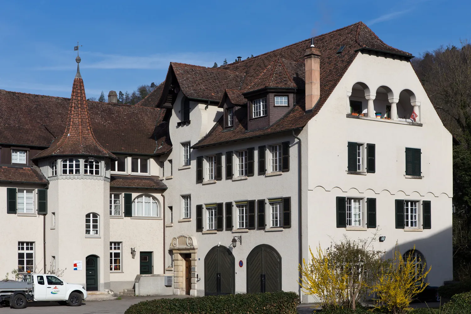
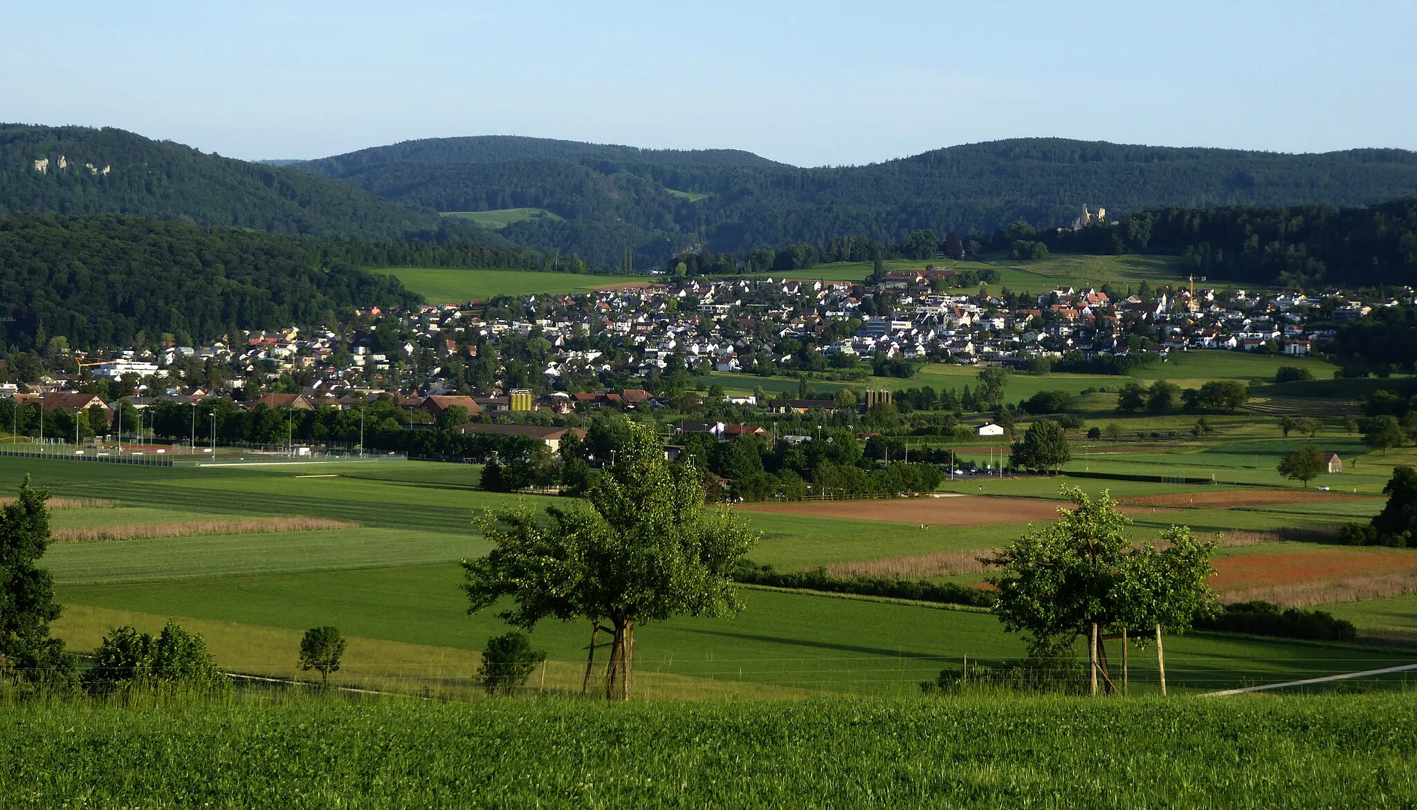
AedermannsdorfVillageAedermannsdorf is a picturesque village surrounded by rolling hills and peaceful meadows.
44 km
44 km
Tannmattchopf1190 mPeakTannmattchopf is a challenging climb that rewards cyclists with stunning views at the top.
50 km
50 km
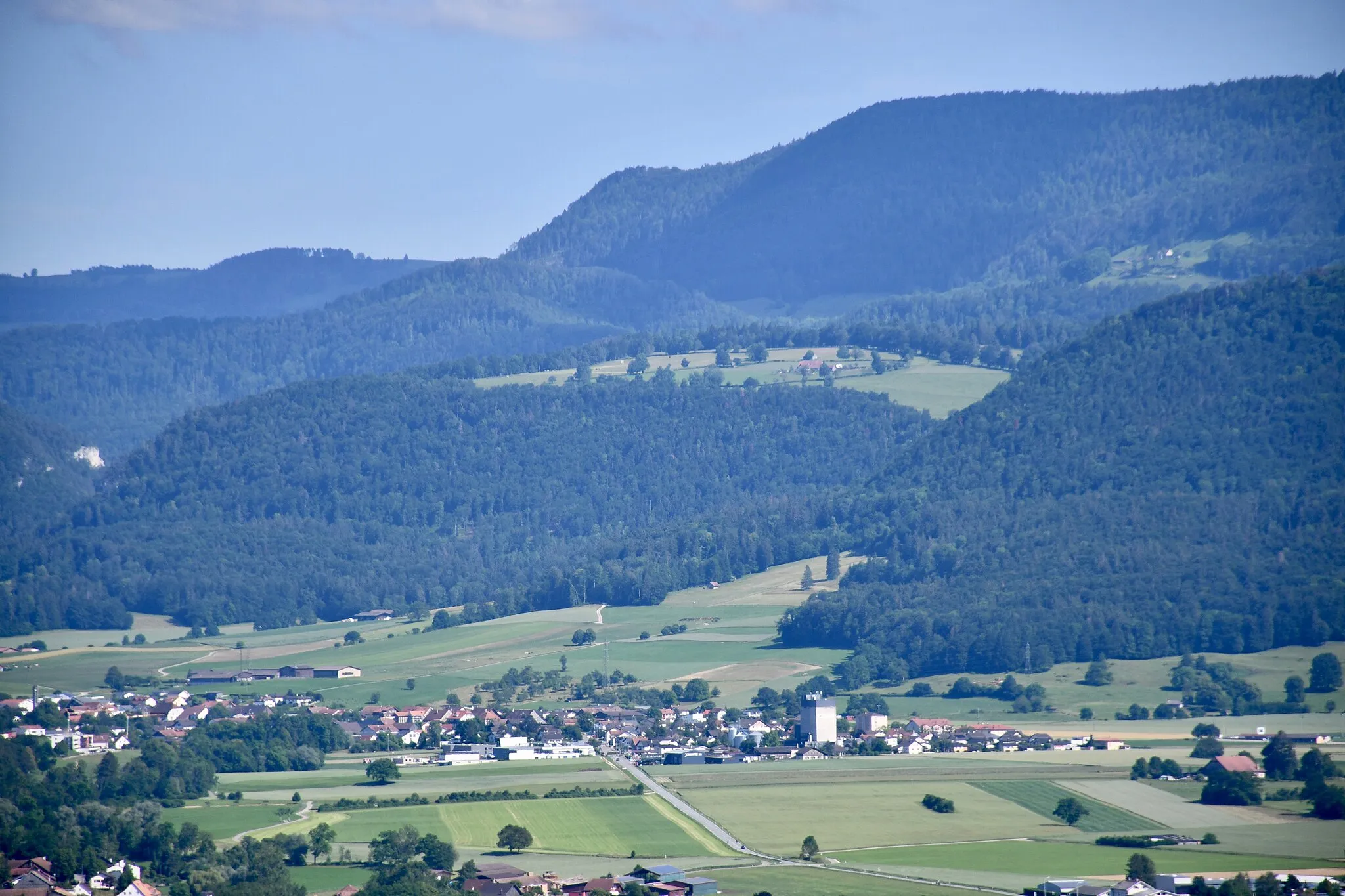
SeehofVillageSeehof is a delightful lakeside area surrounded by lush green forests and crystal-clear waters.
68 km
68 km
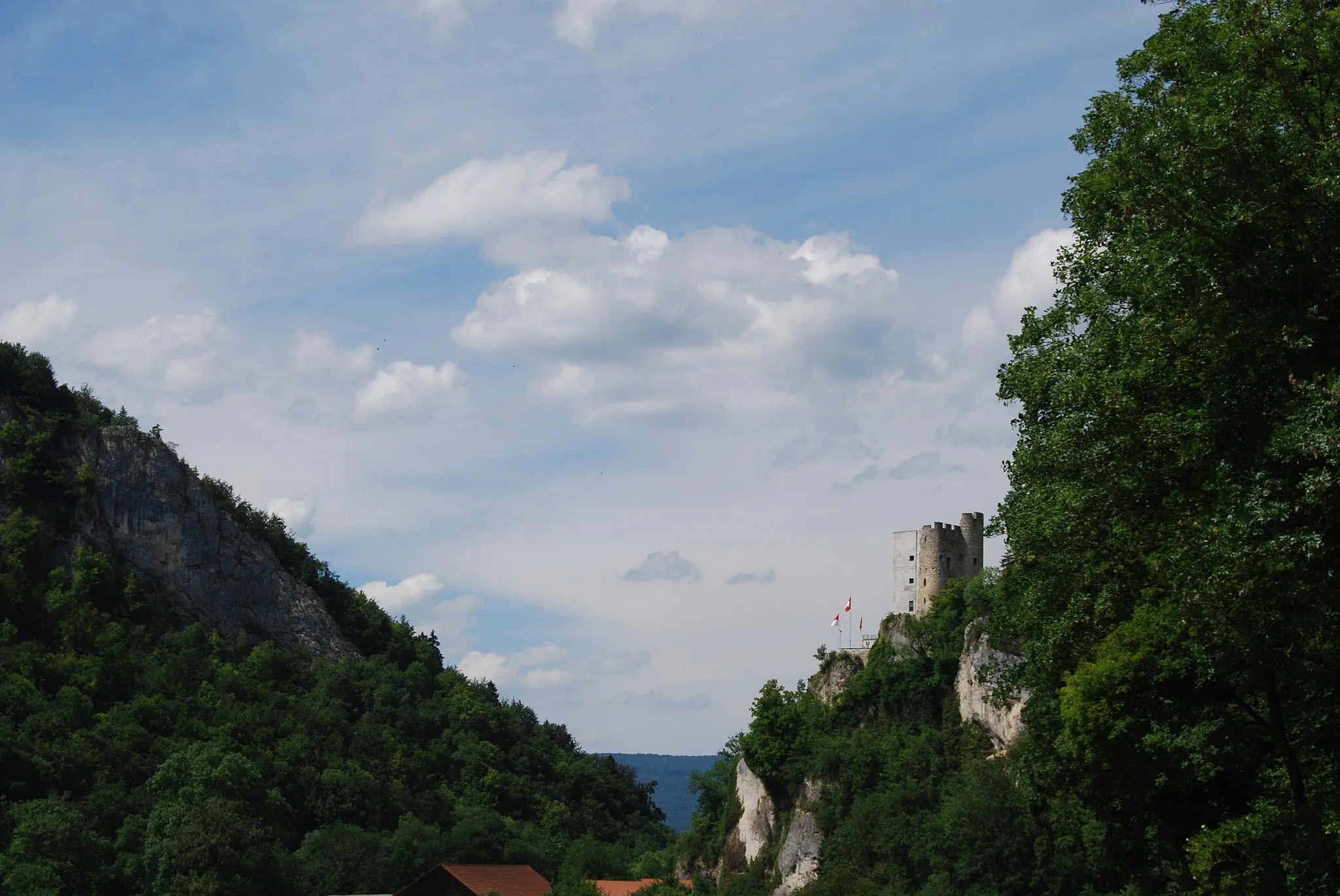
Stürmechopf768 mPeakStürmechopf offers breathtaking panoramas of the surrounding mountains and valleys.
73 km
73 km
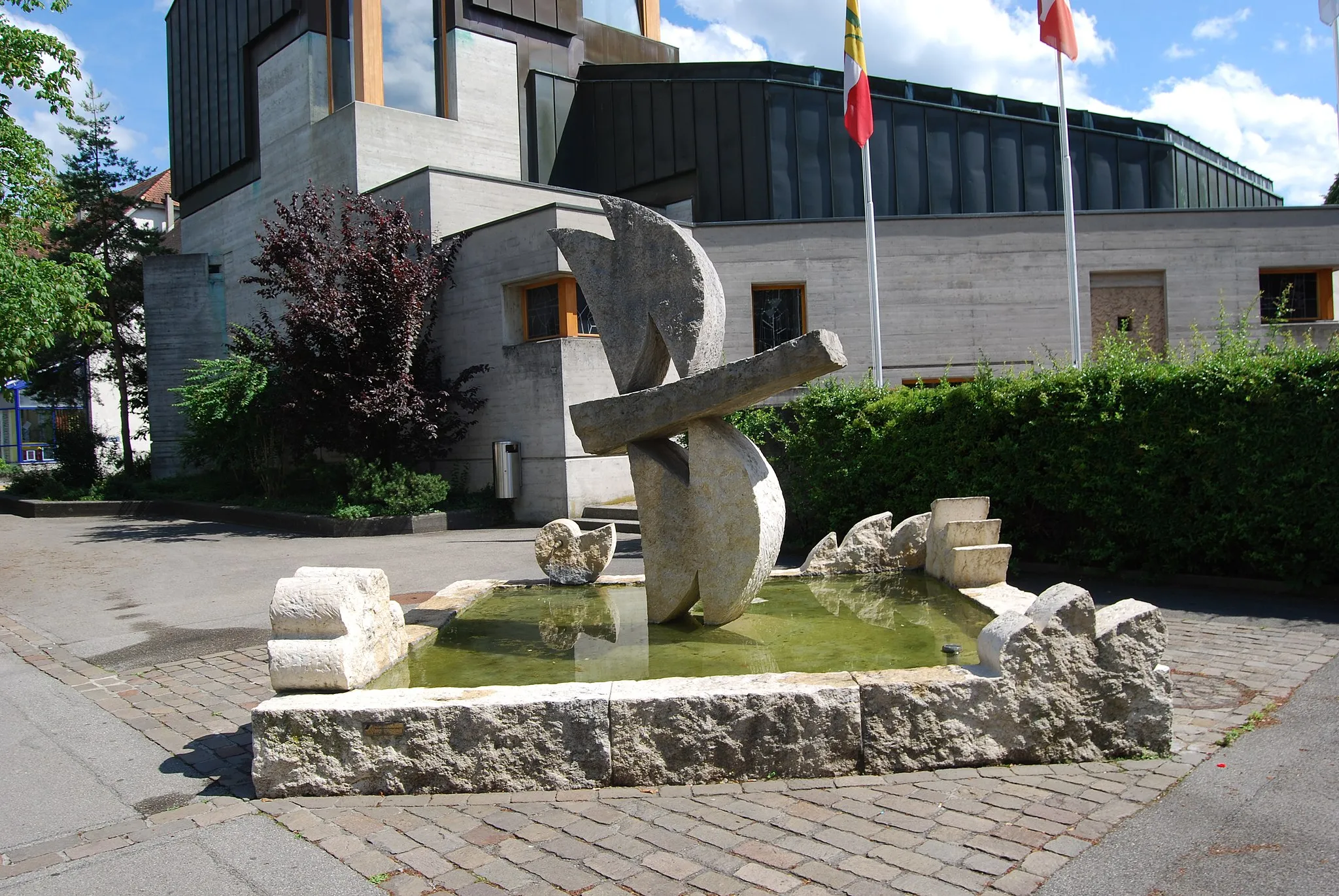
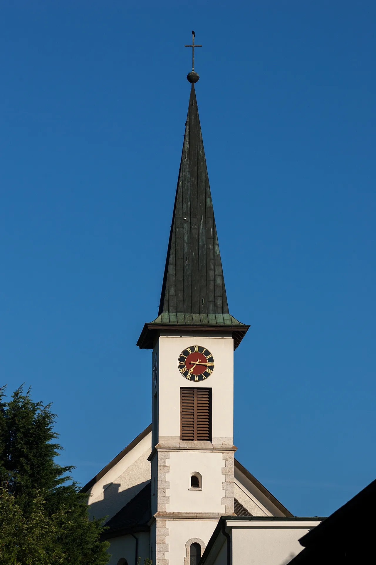
LaufenVillageLaufen is a small town with a historic old town and a beautiful river promenade.
76 km
76 km
Finish: Dittingen Village centerRöschenz: Tranquil cycling getaway in Nordwestschweiz.
Cycling routes from Roschenz:
Cycling routes nearby: